I may have just hit my first real snag…

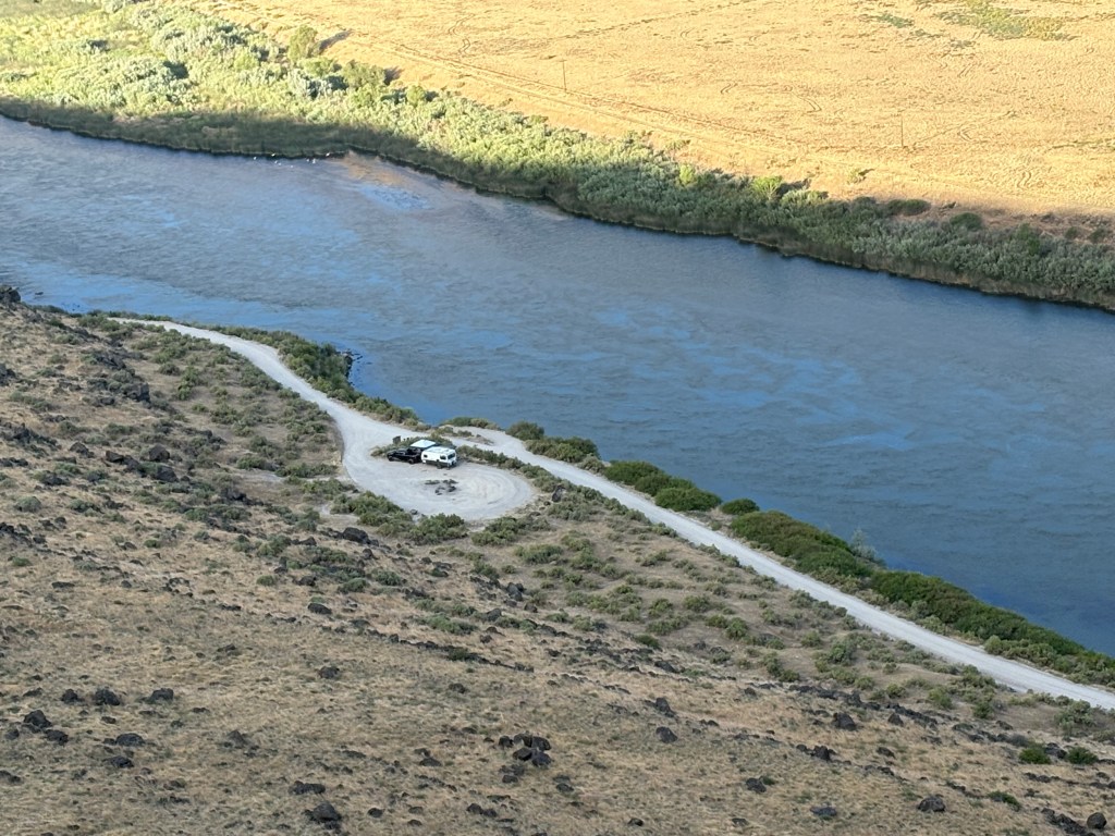
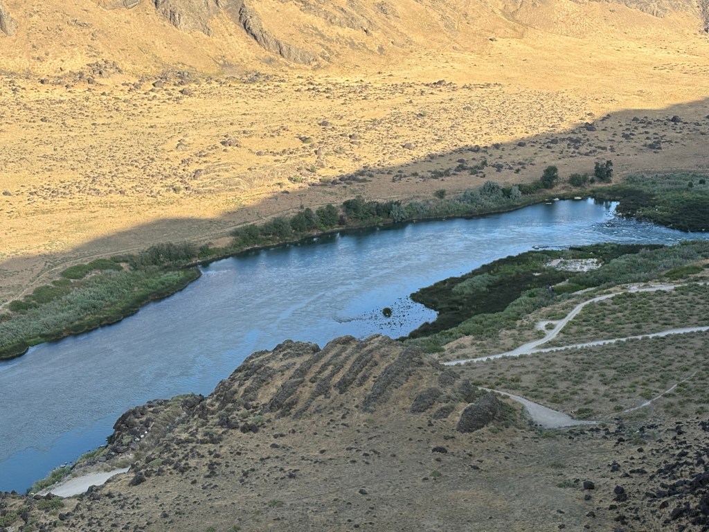
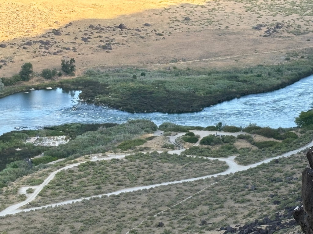
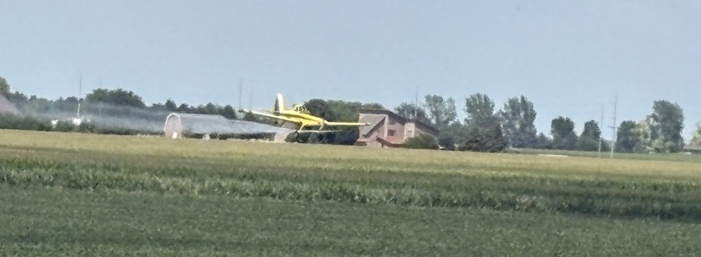
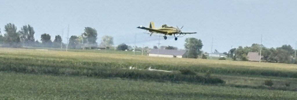
Fortunately, the tsunami turned out to be no problem here in British Columbia. I did change my route for yesterday and called off the planned drive to Tofino, on the side of the island facing Washington State, but had a glorious day driving in the mountains of inland Vancouver Island, as far away from the ocean as I could get! More on that later. I know, I am SO FAR BEHIND posting but am accumulating lots of photos and stories. Just waiting for the proverbial rainy day…

Last night, after returning home from “Latin Night” in Campbell River (I was invited to tag along by my Airbnb hosts here, though none of us participated in the dancing), I learned that a wildfire was just detected on Tuesday, east of Vancouver, which may affect my travel early next week. A fire was detected in Sasquatch Park (I kid you not) and a large area has had mandatory evacuations imposed. It will likely affect getting to Route 3, which runs along the border with the United States, and which I was planning to take Tuesday morning of next week when I finish my stay in Surrey/Vancouver. I will monitor this situation closely.


And speaking of wildfires, sadly, the wildfire at the North Rim of the Grand Canyon has gotten MUCH WORSE and is now consuming much of the area north of the Park entrance on that side of the canyon.

Looking from the South Rim towards the North Rim entrance.

(Photo credit: The Weather Channel)

Welcome to Canada, JohnBoy !!

I crossed from Port Angeles, Washington to Victoria, BC, Canada on Sunday, July 27.

We sailed aboard the MV Coho ferry:

It took about an hour and a half to traverse the Salish Sea in the Strait of Juan de Fuca before arriving in Victoria, British Columbia. Victoria is located at the southeastern end of Vancouver Island, a huge island about the size of Kansas. Vancouver Island is the 8th largest island in the world.

Some of the deckhands prepping our ship for docking:

Some of the things we saw as we approached the harbour (I’m in Canada now and have to talk the talk):

A dichotomy of speed:

The Air Traffic Control tower (well, building) for managing approaching and departing seaplanes. One of the photos above shows a buoy with a sign reading “Water Airport”

Part of the Canadian Coast Guard fleet:

And once I got on land I treated myself to a reward, confirming that I was actually in Canada!


I have been on the road 2 days shy of 4 weeks. When I arrived at the ferry terminal in Port Angeles, immediately before leaving the United States, I had driven exactly 4,600 miles since leaving Durham, 759 miles over my projection (which was point-to-point mileage between the towns I would be staying in and didn’t include side trips).

Corn Sex

I never imagined I’d be talking about sex on my blog, although when I entered that word in the Search box on the Homepage several posts appeared which included the word in their content. My mother is probably spinning in her grave… Sorry, Mom, but this is important stuff.

As I drove across several corn producing states on my way out west I noticed something I had never really paid attention to. In one specific field there were alternating, machine-wide rows (maybe 10 to 12 stalks wide), one group with tassels on the top and the next without. That got me thinking – male/female? Not so fast, Skippy. Upon doing a little research all corn stalks are monoecious, meaning they have both male and female “parts”. Yikes!!

(Photo credit: Nature Journals)

The tassel, a flower at the top of all corn stalks, is the male part and produces pollen. The sperm, if you will.

The ear, which grows before fertilization, has lots of silk strands which grow out of the end (and which you remove, along with the husk, when preparing the ear for consumption). Each strand of silk is attached to an individual kernel (the fruit) which will develop once the silk is pollinated. Let the wind do its matchmaking and voila!

So the farmer who planted the field I saw was trying to promote cross-pollination. The hope is that by removing the tassels at the top of one section of corn the silk on that stalk must get pollinated from a neighboring plant that still has a tassel atop it. They don’t want a stalk to “self-pollinate” (bad stalk…).

Who knew???

Only every farmer that grows corn.

Relax Mom, at least I didn’t name this post Corn Porn…


And since we’re talking about corn and not porn, here is a fun fact:

The highest ranking corn producing states in the US in 2024 were:

1 – Iowa – 2,627 million bushels

2 – Illinois – 2,311

3 – Nebraska – 1,803 (take that, Cornhuskers…)

4 – Minnesota – 1,345

5 – Indiana – 1,000

Then South Dakota, Kansas, Missouri, Ohio and North Dakota rounding out the top ten.

(Source: CropProphet.com)

Field of Corn

Now that I’ve talked about irrigation here is something that hasn’t needed a drop of water since 1994. The Field of Corn in Dublin, Ohio – a small town located just northwest of Columbus.

This is an art project commissioned by the Dublin Arts Council as a tribute to Sam Frantz, who actually grew corn on this piece of land, and as a proud reminder of Dublin’s agricultural history (Source – Wikipedia). Mr. Frantz was both a farmer and an inventor, and created several hybrid corn species. The type of corn used to create the molds for this display is Corn Belt Dent Corn, a double-cross hybrid.

Each ear is 6′ 3″ tall and weighs 1,500 pounds!

There were actually 3 molds made and when they were installed they were each rotated slightly so it would appear that each was unique. I would have never noticed…

There are 109 ears on the property, plus two rows of Osage Orange trees, the purpose of which is unclear to me. I didn’t read all the signage and wasn’t aware that there was more to it than corn. The artist, by the way, is Malcolm Cochran. He is from Columbus. The project was finished in 1994.

As my friend Shawn likes to say when I drive across Iowa and Nebraska – “Corn, corn, corn, town, corn, corn, corn, corn…”

Crop Irrigation

These photos illustrate how modern irrigation techniques are employed on many farms throughout the central and western US. What prompted me to stop driving and start taking photos was this tree in someone’s yard.

As you can see, the lawn in front of the house (lower left of photo) was a gorgeous, thick green mat which you often see in tv ads for fertilizer. Beyond the tree you can see fields with two different types of crops planted. Just to the right of the trunk of the tree I could hear water gurgling and next you will see what prompted me to walk over and check it out.

To the right of the driveway as I looked west from the road, was this long cascade of water flowing down from a slightly higher elevation.

It then went down a drain next to the road – it’s destination not obvious at the time, but not a storm sewer I assure you. Water is a precious commodity and farmers use utilize every drop of it they can get access to.

Further up the road I saw what the next step in the process is. At strategic locations, a series of large pumps are located underground to bring the water coming in from elsewhere back up to the surface where it can continue to flow downward, thanks to gravity and water always seeking its lowest point. The surface of the ground raises and lowers as one drives on the roads and at some point the water needs to be boosted back up to the surface to continue its downwards trek.

Looking away from the road, after having been pumped up from below, it flows downward, off in the distance:

And looking left, down the road I had just driven up after taking photos of the lush lawn and beautiful tree further down the hill.

And if not from rain, how does the water get into the fields in the first place? It is pumped up through a series of pipes directly to a large sprinkler system (not shown) to move through the fields and spray water from above. It may also be siphoned off the flowing water to go through a series of pipes to be applied directly to the roots of the plants.

Actually, in the photo above you can see a thin white metal wheel (like an oversized bicycle tire rim) which is repeated down the road and rolls slowly through the field to the left, applying water to the roots of the plants. There are also much larger contraptions which pivot from a base to spray water from much higher up (for corn and such). I will take photos the next time I see some and add it to this post later.

I have also seen large holding tanks or collection ponds where water, having reached its lowest useful point, is stored to be pumped out into tanker trucks to be employed elsewhere.

Nothing wasted!

The Funny Farm

This is something I came across near the little town of Melba, Idaho, southwest of Kuna, as I was returning to Boise after my 3 stops at various overlooks along the Snake River (see immediate previous posts, below).

This tractor was alongside a house adjacent to more lush growing fields. Irrigation is a serious enterprise, critical to growing crops in this desert-like area. There were many farms around Kuna and Melba which employ a sophisticated irrigation system, as do most farms in the western US. My next post will illustrate how it works. Nothing funny about it!


These photos are all from the Boise area but as I drove northwest to get to my next stop in Bellevue, Washington (just SE of Seattle) I saw lots and lots of fertile growing fields, all with extensive irrigation systems, I’m sure. It reminded me of when I stayed in Wenatchee, WA back in 2017 and posted photos of the large apple, cherry, and other orchards in that area.

The area of southeast Washington State I drove through as I entered the state earlier this week called itself “the Palm Springs of Washington”. It is all very impressive.

Snake River – Celebration Park

The third and final stop of my 2025 Boise area Snake River tour was a place with petroglyphs and lots and lots of large black boulders in addition to the beauty of the river itself. There is also an old railroad bridge which traverses the river, which has been modified for pedestrian use (the bridge, not the river!).

Views of the river from the bridge:

Here are some photos of the boulders:

Those were some of the smaller ones. Here are some bigger ones.

And here are some with the back of my car photobombing the shot.

Turns out they actually have a name. Ready for this? Bonneville Flood Melon Gravel!!

They are believed to be from a catastrophic flood some 15,000 years ago when a huge lake in the western US gave way. The petroglyphs are part of the drama too. They are believed to have been made by Native Americans 10 to 12,000 years ago. The boulders are called melon gravel after a WWII highway sign calling them petrified watermelons.

I didn’t research it but I suspect the catastrophic event was also responsible for the formation of the Bonneville Salt Flats near Salt Lake City when all that water finally settled down.

And as a final thought on the Snake River, I have decided to go back to Hells Canyon after I get back to Seattle from Alaska. I was going to drive south to Tucson anyway and will be doing some other things in the Pacific Northwest as well so I will add that to the list. Who knows, maybe I’ll even do a Jet-boat ride!

Yeeehaaa – bugs in my teeth…

Snake River – Swan Falls Dam

From Dedication Point (see previous post) I drove southeast along the top of the canyon to get to an overlook for a small dam which crosses the river. I should also mention that on the long, seemingly-straight road I showed you in the previous post, road planners threw in several 90 degree turns just to make sure I was paying attention. Now, as I drove southeast they threw in a 180 degree turn just to make sure I was REALLY paying attention.

Actually the 180 was to allow the road to descend through a series of switchbacks to get down to near river-level (where the camper was parked), for the dam workers and for recreational boaters to launch (above the dam). The 9o degree turns were to adjust for the river working its way northward as it flows west.

The view here was a little different from where I had just been but I will just cut to the chase and show you another panorama from this spot. You may be able to make out the dam in the right-hand side of the photo. Water levels along much of the river are controlled by a dam way back before the water gets to the Hells Canyon rapids, to try and maintain a constant water level after the snowmelt from the Seven Devil’s mountain range, and others, feed into it.

I didn’t stay at this location very long as my next viewing spot would open at 10 am and I still had a long drive to get there.

Going back to retrace my steps from Kuna this was driving northwest towards Dedication Point

When I started driving north towards Kuna and the dreaded interstate I noticed this just off the left side of the road:

“Look, honey, I found the only tree out here, so we can build our dream-nest in it!”

Once I got back to Kuna I headed west to get to another road which would take me south to return to the river. I was only a few miles west of where I had just been but the scenery was very different.

Lush farmer’s fields on both sides of the highway. What a difference some irrigation makes! More on that in a future post, but I’m not quite done with the Snake River just yet…

Snake River – Dedication Point

Monday when I went to the World Center for Birds of Prey in Boise, Idaho I learned that there were several viewing points “nearby” along my old friend the Snake River to possibly see some of the big birds in action. Those of you that have followed the blog for a while know of my posts from Oxbow Bend in Wyoming, near there the “Snake” starts its journey towards the Columbia River Gorge separating Washington State and Oregon; Hells Canyon, with its world-class rapids; and Twin Falls, Idaho and other towns with beautiful waterfalls.

I was told that early morning was the best time to try and catch sight of some birds go I left my Airbnb in Boise at first light and drove to the first stop on the map I was given, Dedication Point. From Boise I went several miles west on the dreaded interstate and took the exit for the town of Kuna. From there it would be 24 miles due south to get to the river, further than I expected.

Once I got south of Kuna it quickly became very open and desert-like. Here is a shot of the road heading south towards the river.

The river separates the land on this side of it from the higher terrain you see in the distance.

Once I arrived at the parking area it was a short walk down to the top of the canyon overlooking the river. There is an amusing JohnBoy story about an encounter I had in the parking lot but I will save it for another time. For now I want you to focus on the natural beauty I was about to experience.

This was the view looking to my left (east, where the river flows from)

Looking almost straight across to the other side

Looking down to where someone was camping next to the river

Towards the right, where there was a drop in water level (I later took a video of a small boat heading upstream and the captain know exactly which side to climb to get through without bottoming out).

And finally, looking right (west) as the river flows out of sight.

And here is a panorama of the entire scene

The sign near the parking lot showed the various big birds I might see at this location. In decreasing order by size – Golden Eagles, Turkey Vultures, Red-tailed Hawks, Swanson’s Hawks, Northern Harriers, Prairie Falcons and American Kestrels. This is a National Conservation Area and claims to have the highest density of nesting raptors in North America, and possibly the world.

Because I was up so high I saw nothing. Well, I did see some movement but they could have been pigeons for all I knew. Look back at the photo of the camper (which I had zoomed in on to the maximum extent my iPhone could). Tell me you could identify what bird a person standing next to it was holding on their arm…

Nevertheless it was a beautiful morning in a beautiful place and after I took the pictures I put my cameras away and just stood and enjoyed the moment for quite a while.

Cropduster

I saw my first set of cropdusters shortly after leaving Indianapolis to continue west to Lawrence, Kansas. There was one on each side of the road flying their tight, low passes over specific fields of crops. In this day and age I suspect they are like farm planting and harvesting machines – guided by computers and GPS, to precisely deliver the nutrients and/or pesticides to certain crops in certain fields.

These photos were taken later in my trip, as I approached Nebraska from the south. I could see the plane passing back and forth low over the highway I was on. When I got up to just short of the field he/she was spraying I pulled off onto a side road to stop and get out of the car to take photos. There was another vehicle there with people doing the same thing.

These photos try to capture the sequence of events as they unfolded. I left the ground in certain photos to show just how low they get.

Despite the low altitude at which he was banking he was just above the power lines you see. I swear I think the pilot saw us taking pictures because be banked right over my head – which I was not prepared for, although that was also where his next pass would take him. I tried to keep the plane in my frame but was unable to. I caught up with it as it was low to the field and running parallel to the road I had just turned off of.

They are very precise with the on/off switch for the spray, again, likely computer controlled, so he didn’t douse us with whatever he was treating the field with.

He then headed north, either going to the next customer or to the airport to reload or refuel.

I see these cropdusters flying all over the place in the Midwest and West. They are usually bright yellow but yesterday I saw one in Oregon which was white.


I also had a VERY thrilling experience the other day. As I was approaching Boise, Idaho I looked to my right and saw that a yellow cropduster was on a runway of a small airfield just off the interstate (I bet it wasn’t more than 150 feet from me). My cruise control was set on 87 and the plane was exactly keeping pace with me for a few seconds, then picked up speed as it lifted off the runway and got ahead of me. The highway then curved slightly to the right and as I looked through the windshield, so did the plane. I wish I had a copilot of my own to have captured it on video. I doubt if I could replicate it even if I tried.

I’m going to try and find the airport on Google maps and see if I can calculate the approximate distance the runway is from the right lane of the highway.