Photos and stories of my journey across the US and Canada
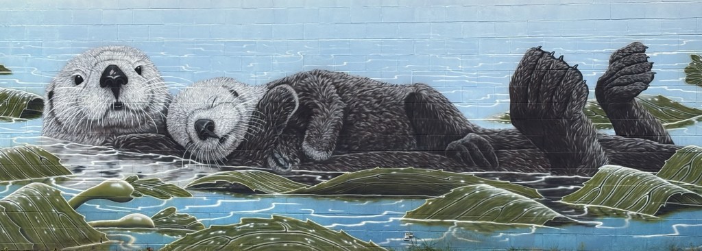
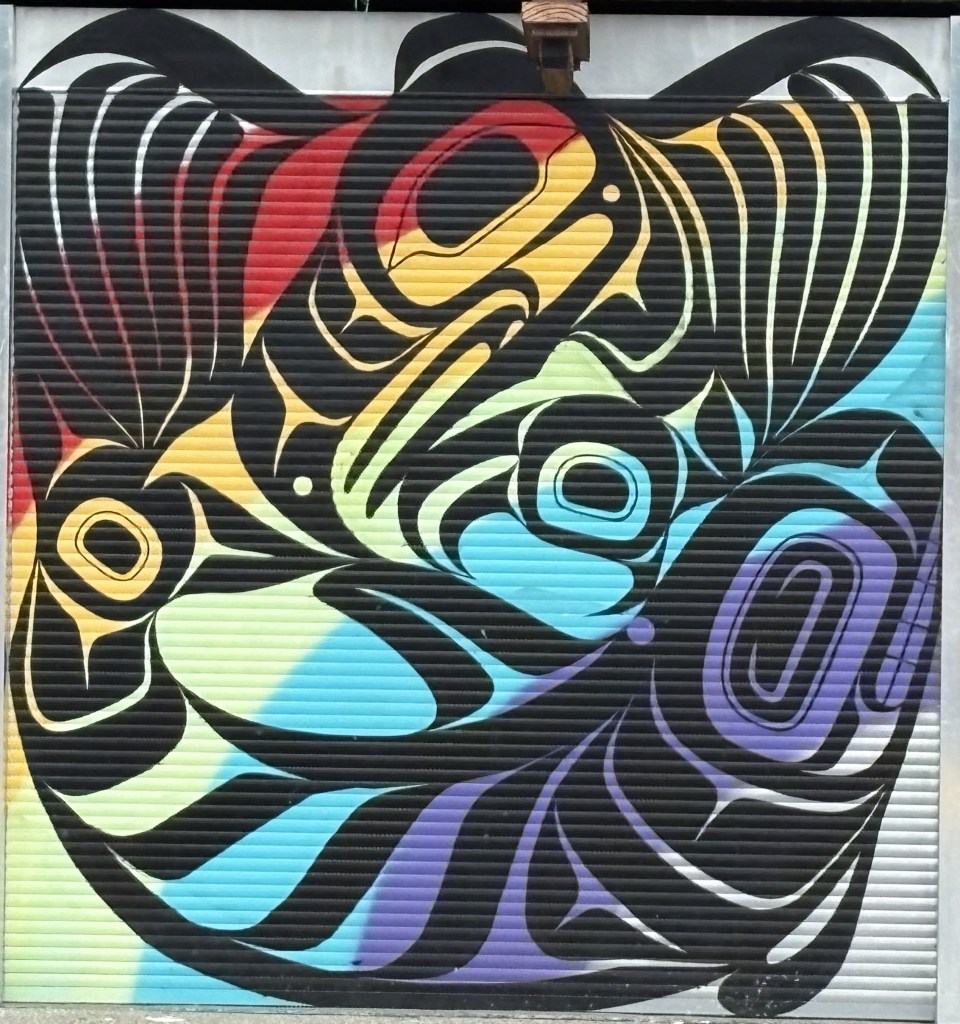
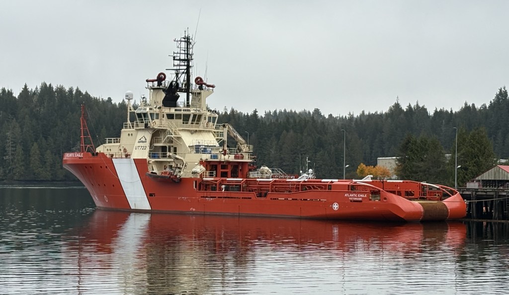
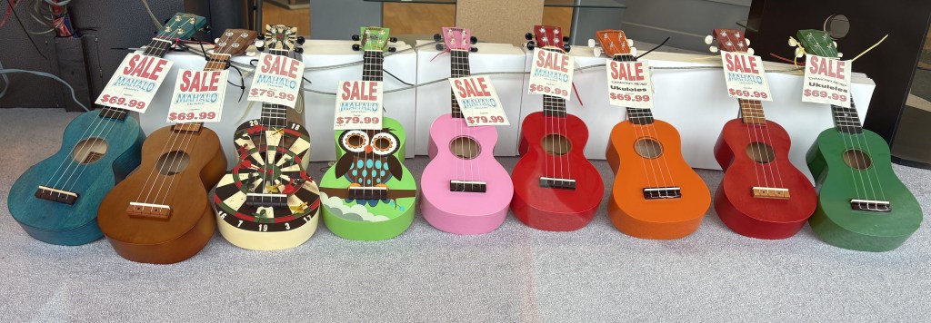
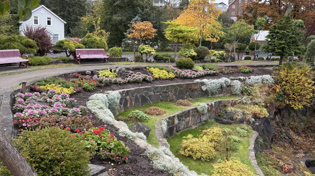
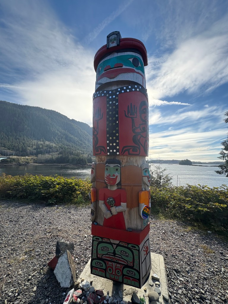
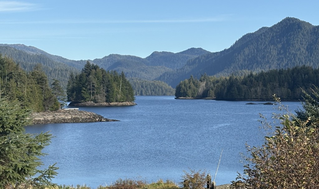
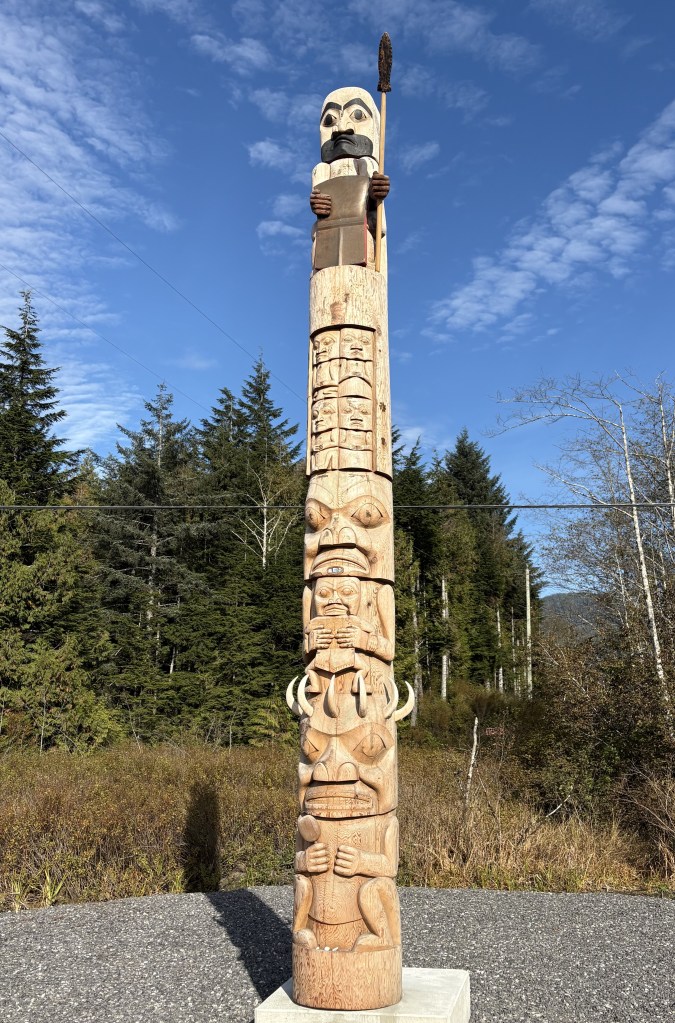
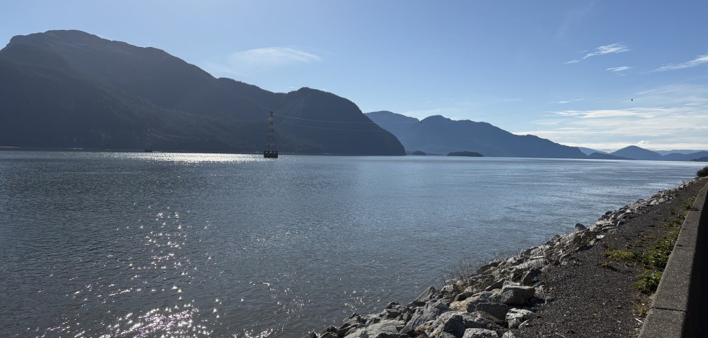
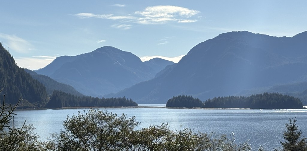
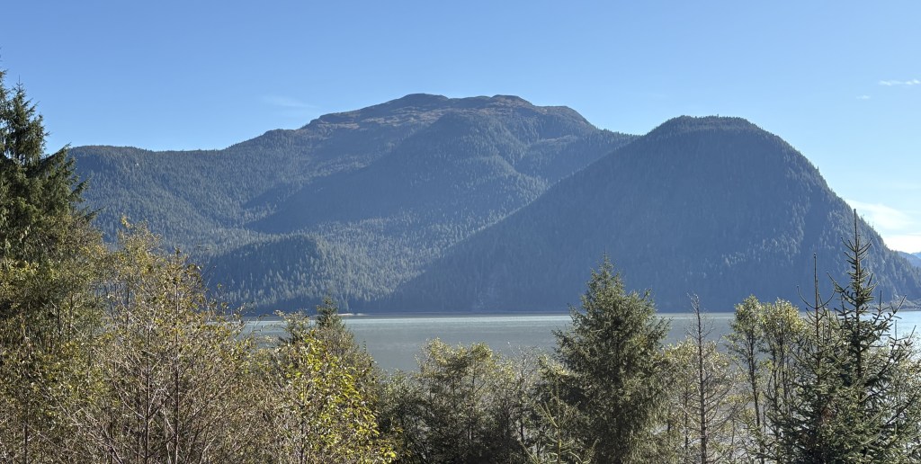
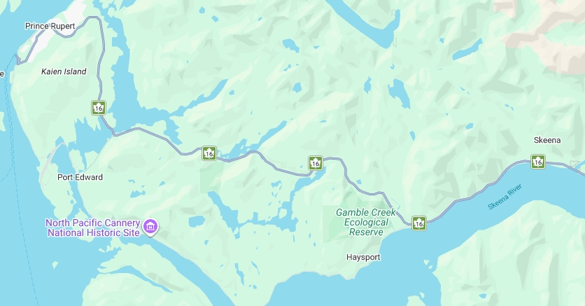
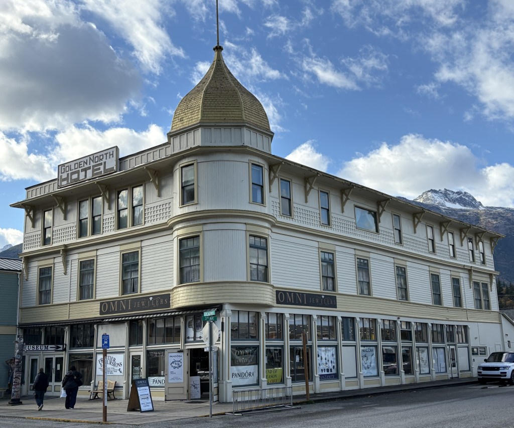
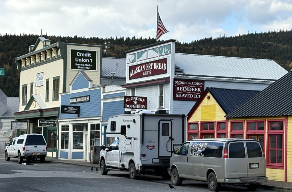
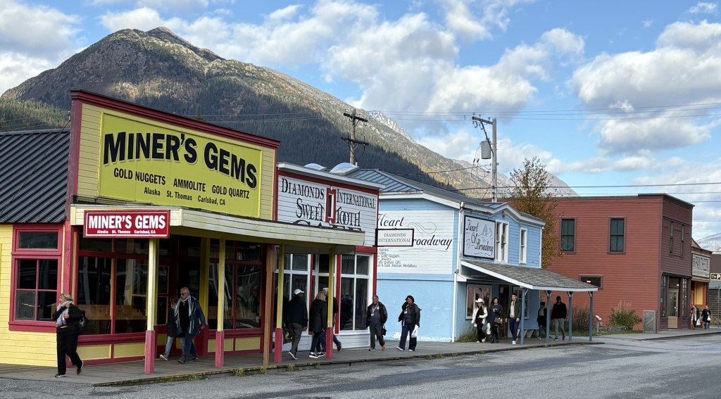
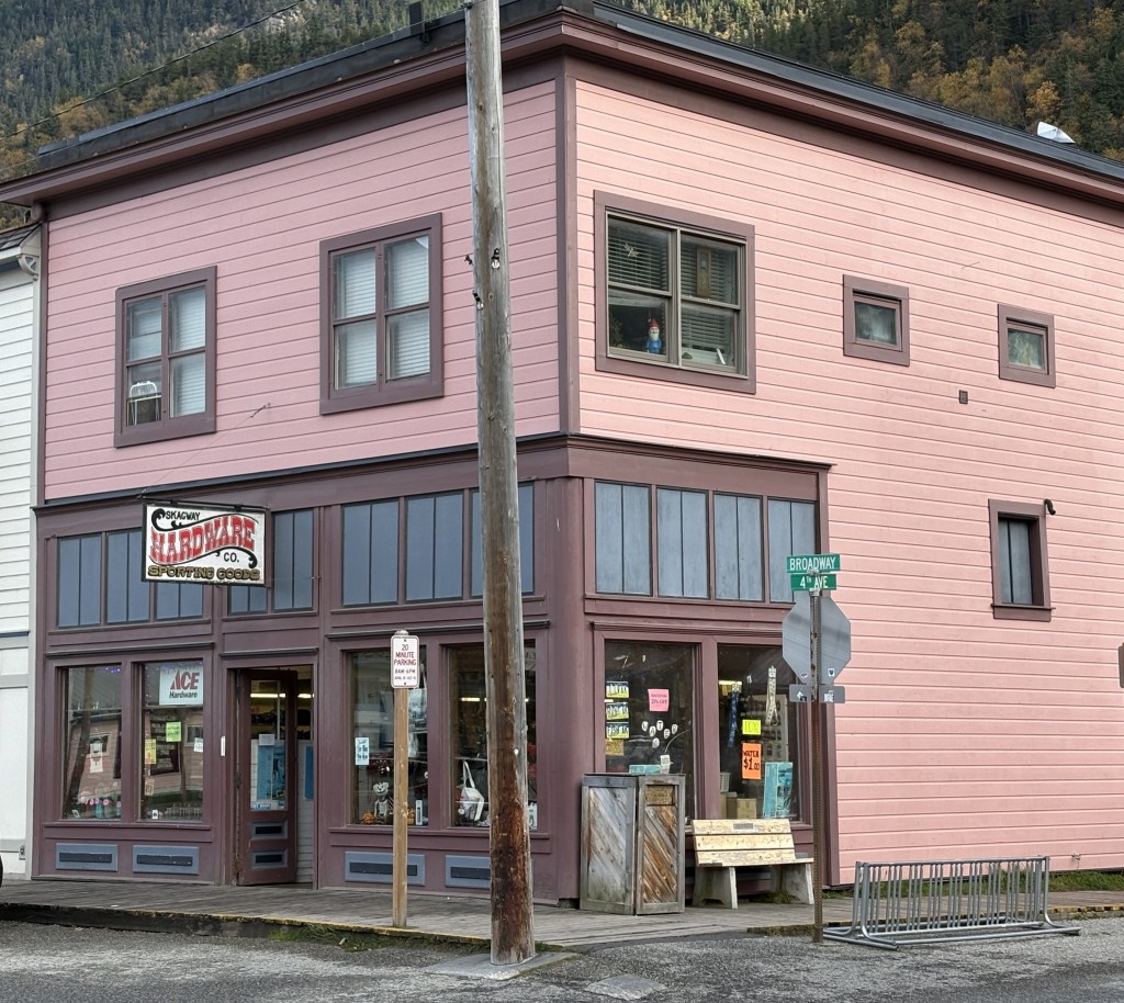
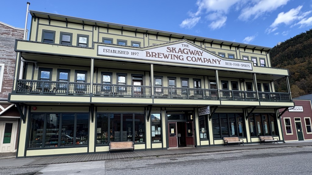
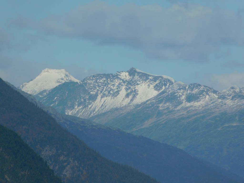
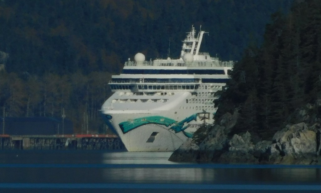
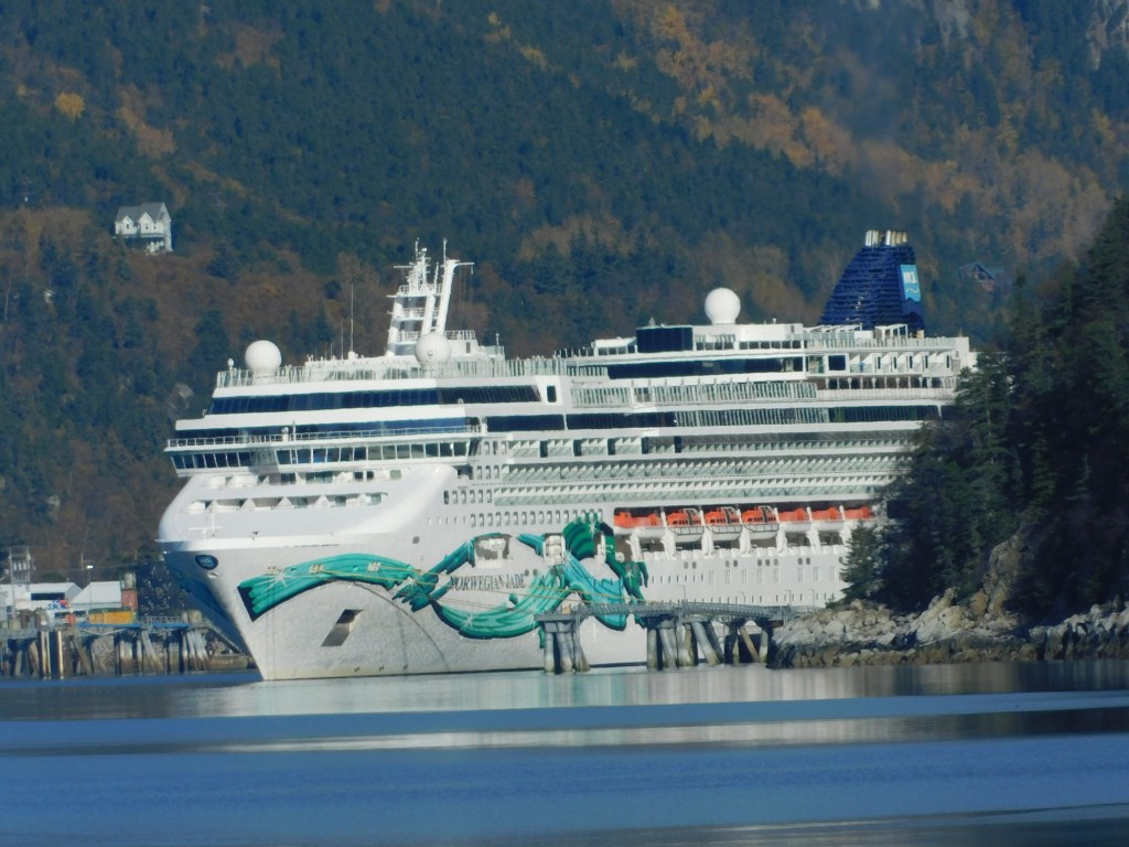
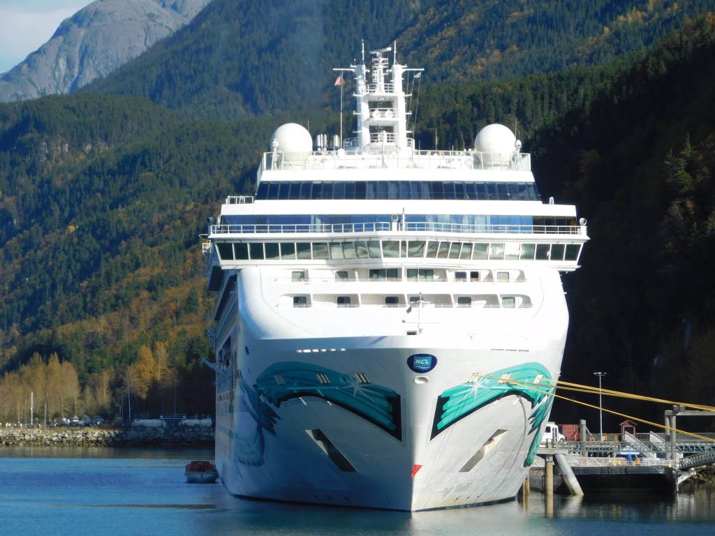
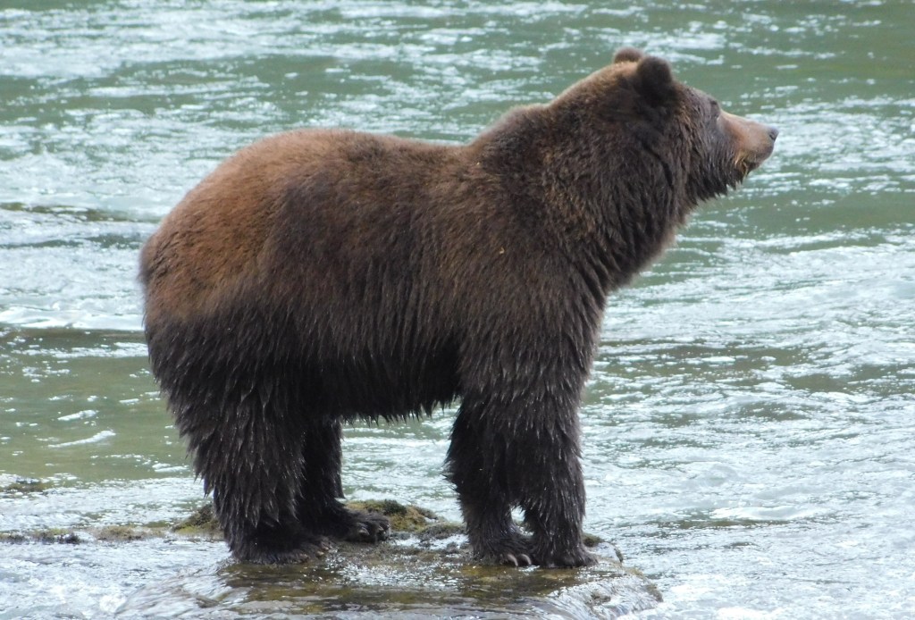
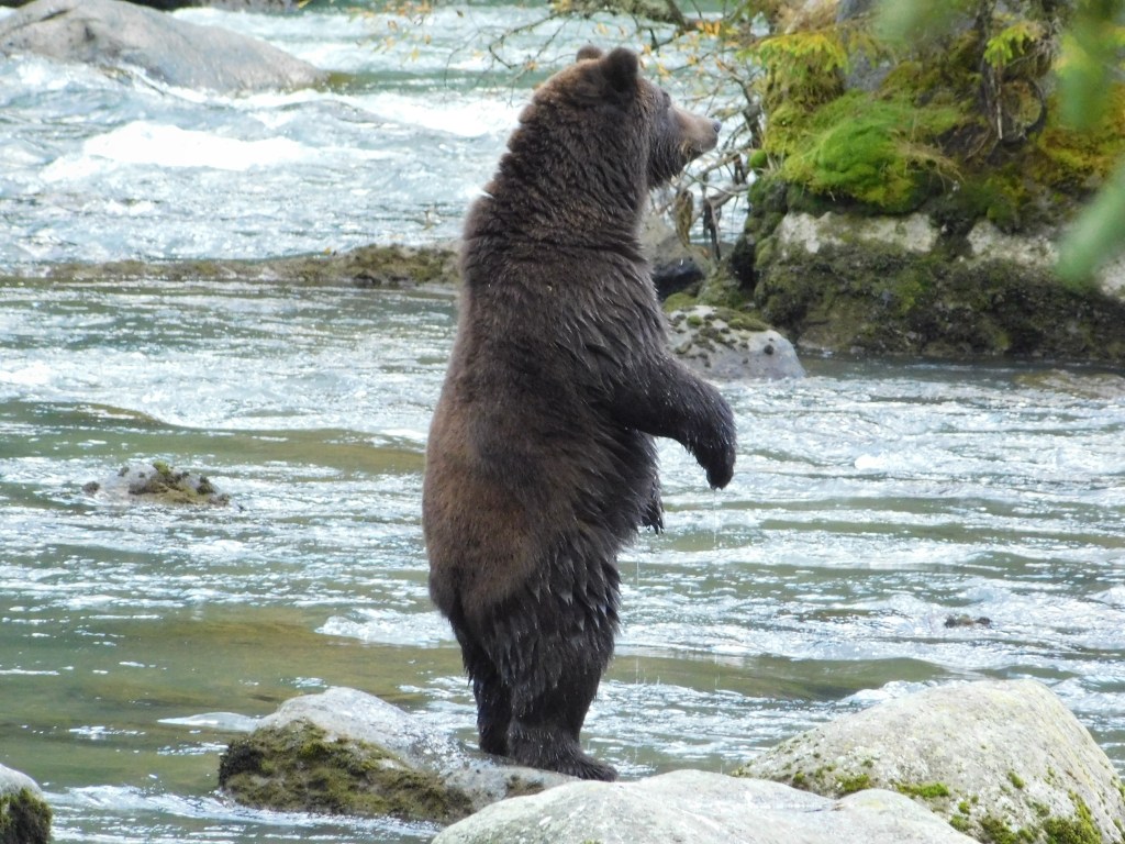
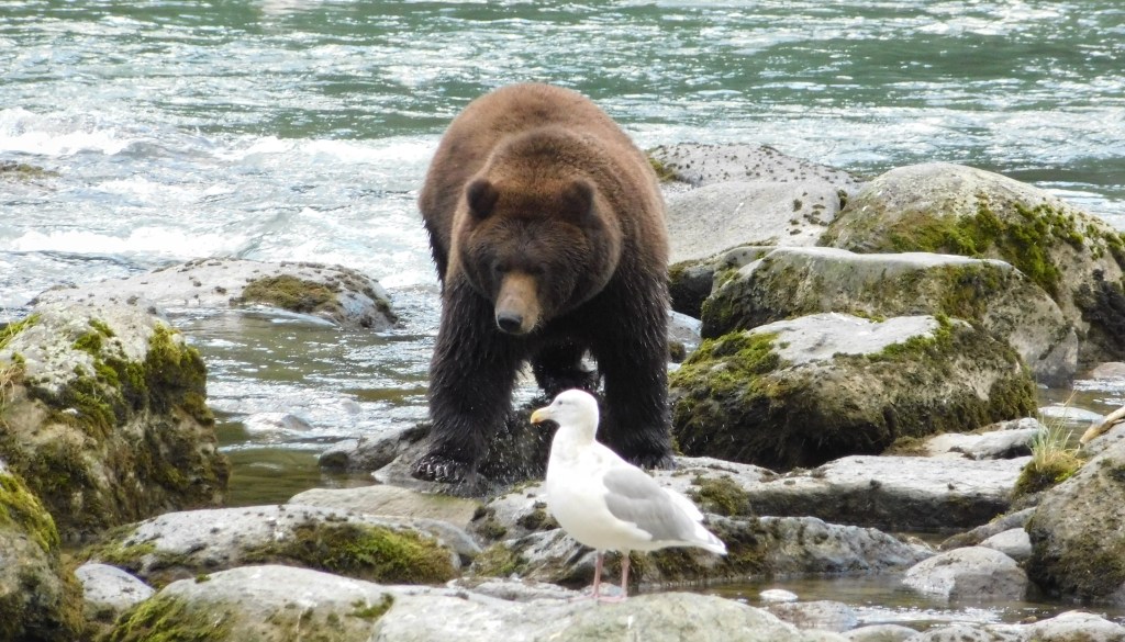
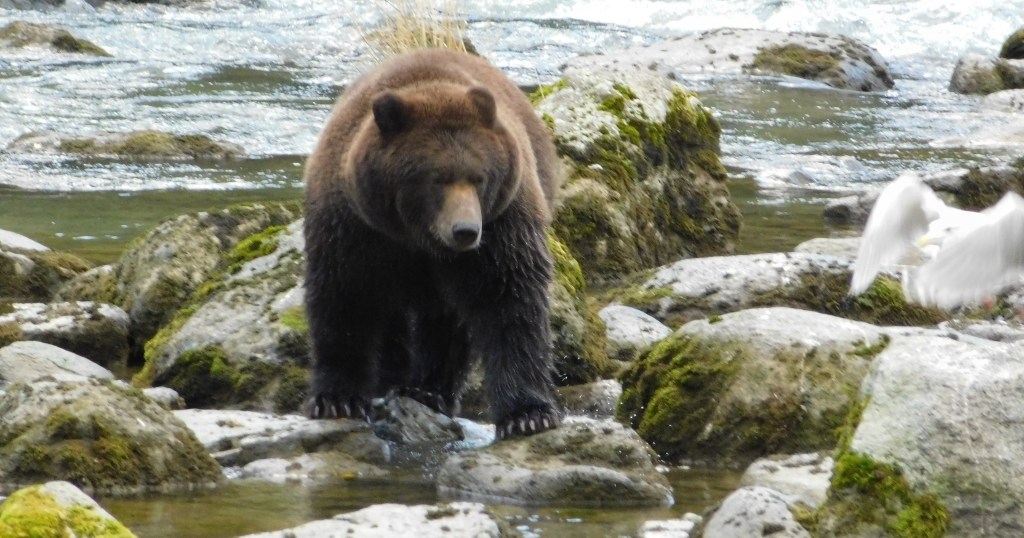
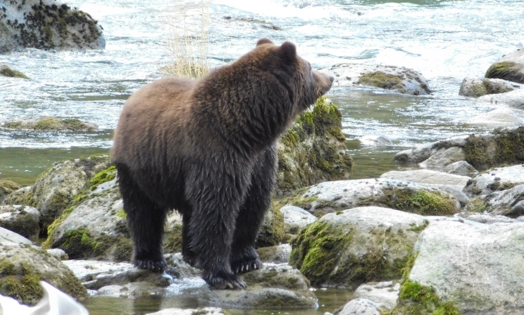
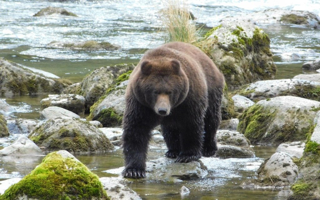
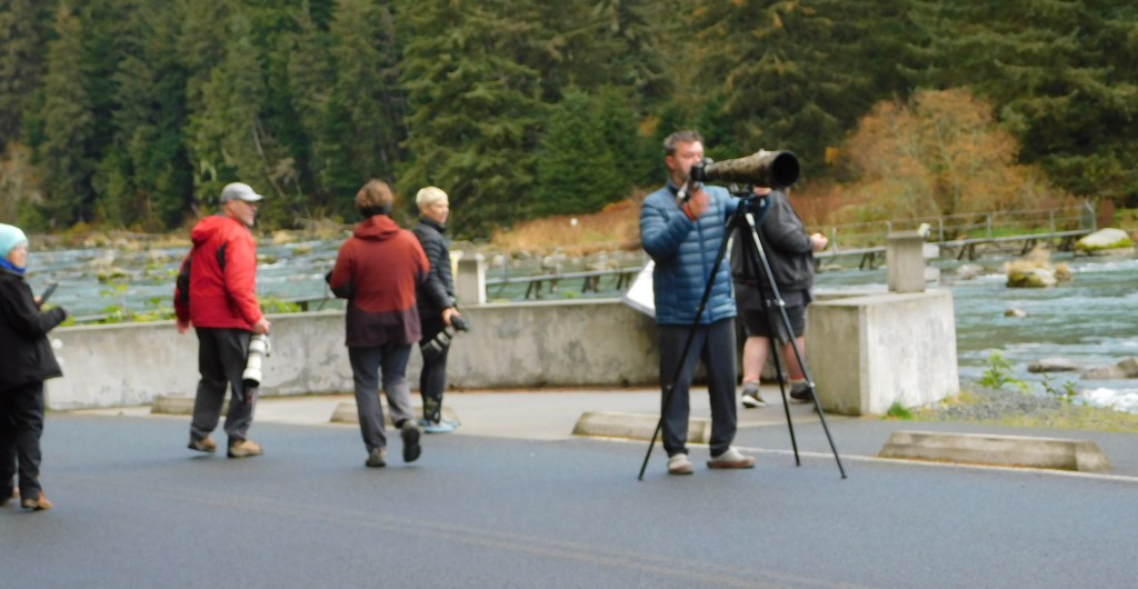
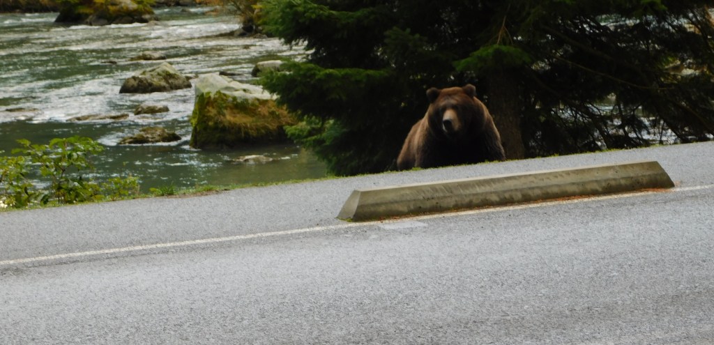
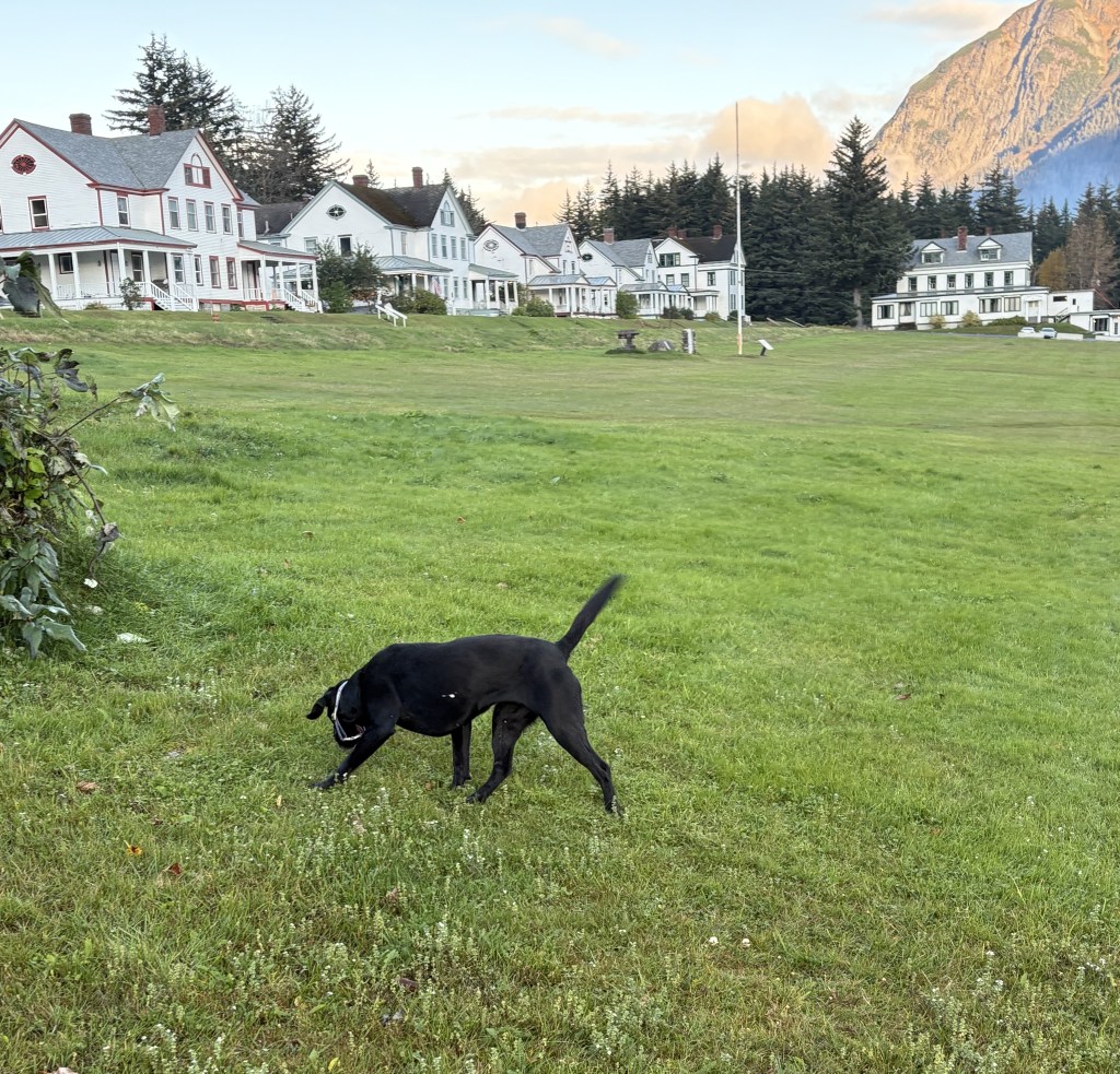
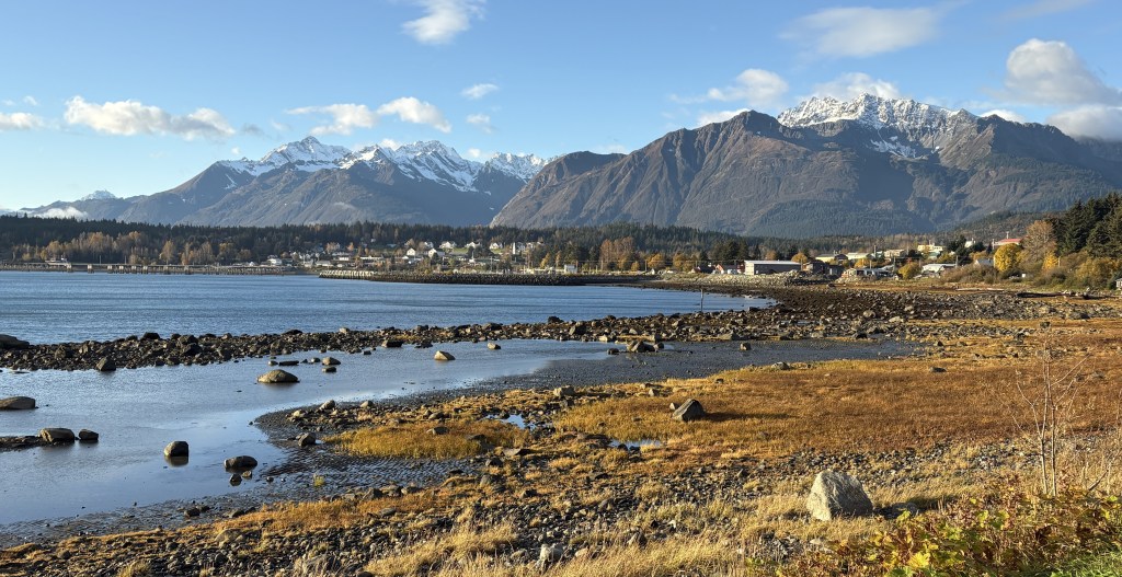
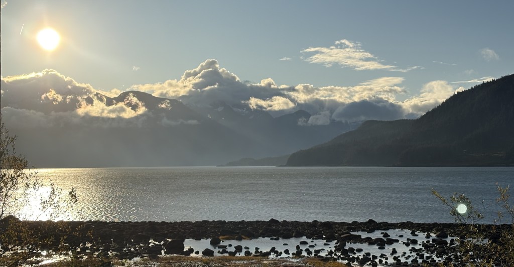
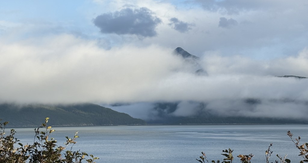
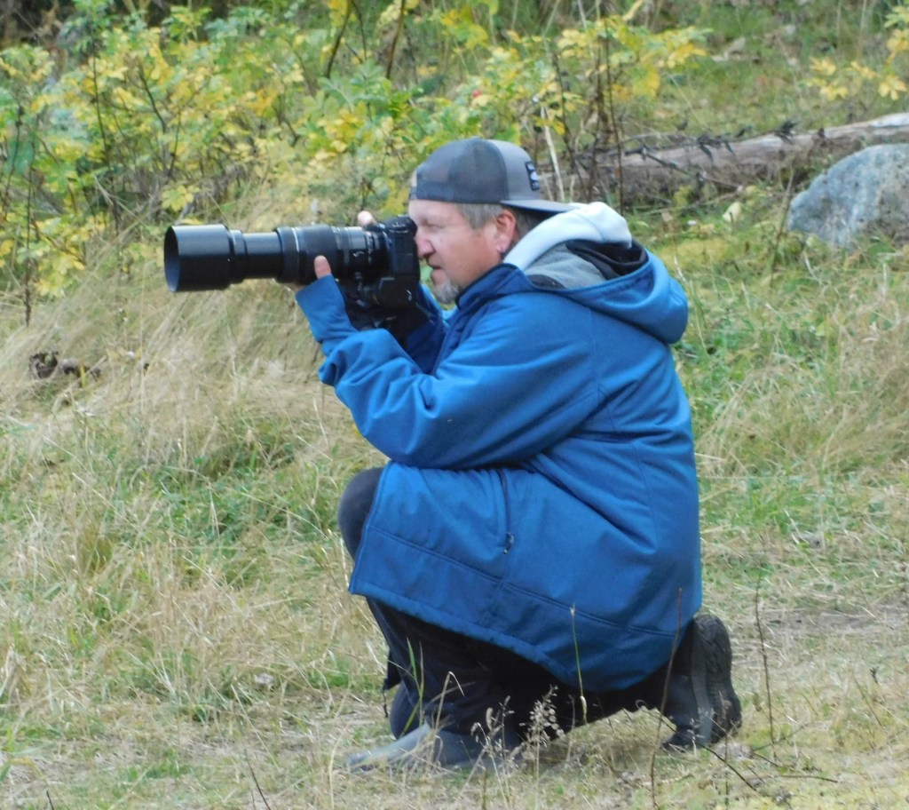
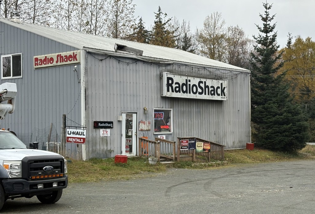
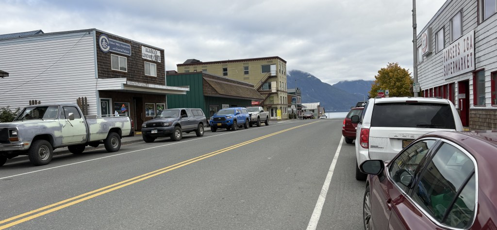
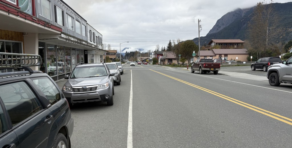
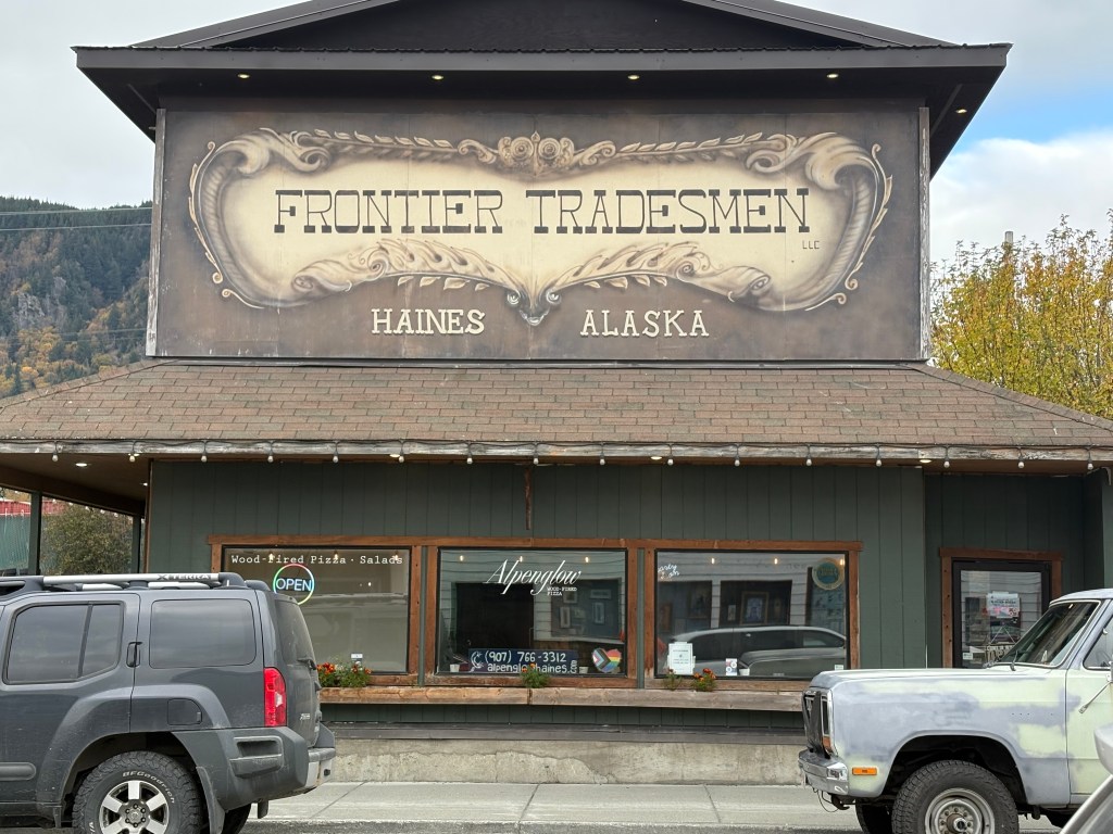
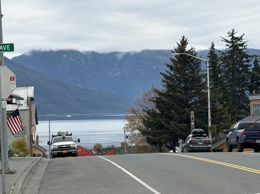
I am back in Durham after my big 2025 road trip and have now resumed posts. I apologize for being so far behind but I have reviewed and prepared pictures taken through August 31 for posting and will post a few things at a time so as not to overwhelm people. I will continue to review and prepare photos taken in September and will have them ready when I exhaust the list I have already.
Thank you for your patience!
I will eventually (probably the summer of 2026) be creating a number of pdf files which list all my previous posts, enabling visitors to find specific posts from earlier trips (over 1,400 and counting). I know how to do it, I just need the time. Lord knows I had plenty of that at home in the weeks leading up to my departure, but it was consumed with other projects, prepping and packing. I will let everyone know when they are completed and will email them to anyone interested.
If you use the calendar grid to the right, go back to May, 2025. Then click on May 13th. There you will find a post I made which contains 100 links to some older posts from 2018 (San Diego)/2019 (Eastern Canada) to give you an idea what I’m talking about. You may also use the calendar grid on the right side of this page to go to any other month the blog existed. I started the blog in the Spring of 2016. I traveled and took photos for two years prior to that but have only posted a select few, and some of my early posts only included 1 photo (I was a blog newbie) and I need to post more from the tens of thousands of photos I’ve taken.
FOR THOSE OF YOU NEW TO THE BLOG:
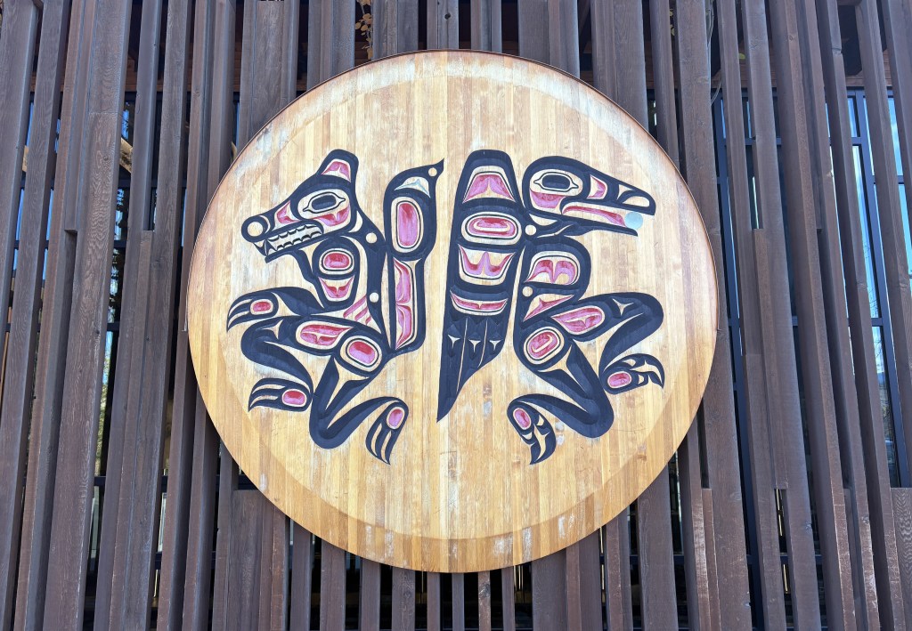
Welcome to my travel blog, where I post photos of my trips throughout the United States and Canada. For details on my intent for this project please click on “About” in the upper right hand corner. If you have comments or requests please feel free to contact me by clicking on “Contact” in the upper right hand corner.
If you are new to the blog please note that you are seeing the most recent posts first. As you scroll down you are going back in time. You may read statements which may not make much sense right at the moment because they may refer to a discussion earlier in the blog. If you want to find posts for a specific place (e.g. Grand Canyon) enter it in the search box. You may also use the calendar grid to use the “way-back” function to time travel back to a particular day’s posts.
Enjoy, and PLEASE feel free to share the blog address with others. Also feel free to copy and save any photos I’ve taken. You should be able to right-click on them and save them to your device (but if you sell them and make a gazillion dollars, please slip me a zillion or two. We’ll just keep that between us). The photos are best viewed on a computer or tablet, not a phone. The larger the screen the better.
These are photos taken at the Denali South Viewpoint. There were signs indicating which mountains I was looking at, how far away they are, and how tall the black mountains (without snow) in front of them are.
We’ll get Mt. Foraker out of the way first. I posted a photo taken from the side road at a higher elevation, which gave me a very good view (see previous post). This was the view from the South Viewpoint:
Not real impressive, eh? Despite Mount Foraker being 17,400 feet tall, the view was being blocked by a 5,150 foot tall mountain (which actually had a little bit of snow on it) much closer to the viewpoint, so you can only see two small parts of Foraker! Signage at the viewpoint indicated Foraker was 45.5 air miles away.
Hunter mountain was a little better. This was taken with the zoom lens:
Mt Hunter is on the left side of the photo above and is actually comprised of three peaks, South (left) at 13,967 feet. Middle (above the right peak on the black mountain) at 13,400 feet, and North (right, in the center of the photo) at 14,574 feet. The whole mountain is on an angle with the right side further away than the left side. Hunter is closer to the road but is still partially blocked by the smaller 4,205 foot peak even closer to the road. The signs at the viewpoint indicated that Hunter North Peak was 37 air miles away.
Here is my best shot of Denali, taken with my smartphone camera:
There will be another one from a little further up the road. Again, the main peak is at 20,310 feet elevation but the black mountain in front is at 5,160 feet and is closer to the viewpoint. South (main) peak was 41.5 air miles away, North peak (to the right) was 43 air miles away.
Here is a shot of Hunter and Denali together (digital w/zoom):
There were 3 other viewpoints further up the road. Campground (just a small pull off area next to the road), 3 miles away, Veterans Park, 15 miles away, and North Viewpoint, 30 miles away.
Here are three photos from Campground:
Foraker:
Still mainly blocked.
Hunter:
Much more defined. I am personally shocked in the difference between this photo of Hunter and the others. I don’t tinker with camera settings other than zooming in.
Denali:
A wider view but with the pesky black mountain blocking. You can also see a wisp of clouds starting to form.
I stopped at Veterans Park further up the road. There were several sobering historical and memorial tributes to various conflicts and branches of the service, as well as this statue:
Here is what the soldier with the binoculars was looking at (Denali):
I drove up to the North Viewpoint but after having been to the others, I was not terribly impressed with what I was seeing.
I had only come up to try and see these mountains on a clear day, and had to drive back to Anchorage for the night. I would come back to these places again when I will be spending a night in Talkeetna, and a third time when I drive from Talkeetna up to Fairbanks, with a brief orientation stop in Denali National Park.
I will return later in my trip when I will spend 3 1/2 days in Denali National Park on my second trip to Fairbanks. Due to weather conditions I will not see these mountains again, and there aren’t many opportunities from within the Park itself which I will explain when I get to that point in my trip.
I was VERY happy that I had the opportunity to come up today and be part of the 33% that could actually see Mt. Denali.
These next two posts will include photos from my first trip to Denali. This first post will show pictures taken on my way north from Anchorage. I have taken LOTS of pictures but have gone through them and selected the best ones for posting.
The name of the mountain itself is subject to some debate but I still call it Denali, as that was the original name given to the mountain centuries ago by the indigenous people who lived here. The name McKinley was first proposed in 1896 to honor candidate, and then President, William McKinley. It was officially changed in 1917 and remained until 2015 when it was changed back to Denali. Our current president changed it back to McKinley in early 2025, shortly after being elected. The National Park has always been called Denali.
My day actually started off with me driving south from Anchorage towards another destination. I stopped at a pullout area next to the highway to take a photo of something and as I was walking back to my car this is what I saw looking north.
It was a clear morning and I immediately knew that what I was seeing in the distance was what I call the “Denali Complex” – a group of mountains in the Alaska Range. That photo was taken at 813am.
I have learned that only about 1/3 of the people who travel to see Mt. Denali actually get to see it because of its tendency to shroud itself in clouds. When I saw it basking in the sun I told myself “I need to go there RIGHT NOW” and immediately turned my car around and headed north. Using the “calculate distance” feature in Google Maps I determined that I was currently 146 air miles (direct point-to-point) from Mt. Denali, though driving there would be much further and it would take over three hours to get to what I later determined was the best and closest viewing spot that was accessible to me.
Here is a map which shows some of the nearby landmarks I will be talking about in these two posts.
(Photo credit: Alaska.org The Alaska Map)
You can see the names of seven of the major mountains. I will only be talking about three in these two posts: Mt. Foraker (Wife), Mt. Hunter (Child) and Mt. Denali (High One). Hunter is harder to find but it is just above the letter ‘R’ in Range, and is closer to the highway than the other two.
For me the best photo opportunity would be at the South Viewpoint, at the bottom of the map, above the white 3 indicating the highway number. I made a dot and wrote the letter V to show approximately where the viewpoint is (though it is actually on the left side of the road driving north). You can also see on the map that even from the viewpoint the mountains are still pretty far away, and the entrance to Denali National Park is way up at the top of the map, over 100 driving miles from the South Viewpoint.
I saw a sign in “Earthquake Park” on the north side of Anchorage where the Denali mountains are sometimes visible on a clear day. A sign there indicated it is 135 air miles away, so I was already over 10 miles further away, and driving there is not a straight shot.
As I drove north, when I got close to the town of Talkeetna I could see Mt. Denali ahead of me.
I tried enlarging the image by cropping out some of the top and bottom but it didn’t really improve the image and I thought I would leave it alone so you could see exactly what I was seeing. I’m not sure exactly where I was when I took that photo at 1021am but I believe I was about 78 air miles away.
Just before getting to the South Viewpoint I noticed Mt. McKinley Lodge Road to the right side of the highway which appeared to climb a hill. I thought that might give me a better perspective so I drove up a short ways and found a spot where I could park and have an opening in the trees.
From that vantage point this was the view of Mt. Denali:
It looks very different from the photo I took south of Talkeetna because of the angle. There is a shorter range of mountains (not currently covered by snow) between where I was and the mountain itself. The highest peak on Denali is obvious and is 20,310 feet above sea level – making it the highest mountain in North America. That is the South peak. The North peak is slightly to the right and is further away from this spot. It rises 19,470 feet above sea level.
This is a shot of Mt. Denali and Mount Hunter, to the left.
Again, Hunter is shorter, at around 14,000 feet, although it is closer to the highway. From this angle it is almost completely hidden by the black mountains in front of it. The part blocking Hunter from this vantage point is about 4,200 feet tall but it is even closer to the highway, making it an effective impediment to seeing Hunter.
Further to the left is Mt. Foraker. This is the best photograph I have of it:
The other photos above were taken with my smartphone camera but this photo of Foraker was taken with my digital camera and zoom lens. Foraker is 17,400 feet tall, and even with that elevation, from other vantage points it is barely visible due to the black mountains. You will see that in the next post.
Here is a photo of all three mountains, taken with my smartphone.
And here is a photo of Denali taken with the zoom lens from this spot:
I estimate that I was 43 air miles from Denali at this spot. The photos from this vantage point were taken around 1114am – three hours after I turned around earlier this morning.
The photos in my next post are the best ones I have of Denali and Hunter. As you will see, you will hardly be able to see Foraker from the South Viewpoint, which is only about three miles from here, further up Hwy 3.
My first day in Anchorage was not terribly productive from a photo standpoint. I had some personal business to attend to, and of course I went to both the Visitor Center (back to the American spelling!) and the Public Library.
The Visitor Center downtown was very interesting:
From the grass on the roof to the abundance of flowers, it was unlike most others I have been to. Unfortunately this building wasn’t open the first time I went and I had to go in a regular office building behind it. I stocked up on maps and brochures, and asked my questions about mountain and glacier identification. This building would be open the second time I went downtown. Not sure why they alternate between the two…
The second place I went was a Walmart in town. I was unable to renew my various prescriptions in Canada because pharmacy’s there will not fill US prescriptions. I kind of screwed up my 90 days from when I left Durham and had to stagger my meds towards the end until I got to Alaska. I had to go and advise them to expect the information from my doctors in Durham, and give them my insurance information. I then reached out to my doctors here in Durham and requested that they send my refill requests to Anchorage. I have one mail order source and I had them sent that (lower priority) refill to my brother in Arizona. They had filled 2 90-day prescriptions with 100 pills each, so I had some of those pills to keep using.
After that I went to the library! My Airbnb didn’t really have a good workspace to use my laptop and I use it quite a bit in the evening when I am on the road. I actually went to the library every day I was in Anchorage (if I wasn’t on the road somewhere). I noticed this sign in the lobby as I was going downstairs to the exit on my first visit there:
I wanted to study the information I had picked up at the Visitor Center and start forming a plan for my days both here and elsewhere. I had been told that many touristy things in Alaska (and Canada, for that matter) shut down after Labor Day. Some restaurants and touristy things in coastal towns that host cruise ships would be open a little longer, but by mid-September they were starting to wind down, too. Several times I would show up somewhere only to learn that the establishment was closed for the season.
I would be in town 4 nights initially and then return for 3 more nights later in my trip. I didn’t actually do that many things in Anchorage but it was a strategic location to operate from.
I will try to break the mountain monotony and entertain you with some oddball photos of things in town that I found interesting (in my own JohnBoy way)…
When I went to McDonalds for coffee this was my order number:
666 – Sign of the devil….
My Airbnb for the first two nights was in a part of town called Spenard (in fact my hostess called her home the “Weathered Den of Spenard” and even had her business license in that name).
That is a sign, evidently an art project, modeled after a Spam can (and with a fake crow).
This is a burger joint who’s parking lot I used to take the photo above so I felt obligated to have lunch there later in the day.
And that is an original 1957 poster they had inside. It was an interesting place!
The word buckaroo has always appealed to me and this club was also across the street from where I had parked, so of course I added it to my collection..
And the political sign on the side of the club also meant something to me, especially when I read the “fine print”. I used to volunteer at a college radio station when I lived in Pennsylvania (while I was still in high school) and one of the radio serials we aired was called Nick Danger, Third Eye – about a fictional detective. Sure enough, here was a Nicholas Danger running for office…
And I will leave you with this beer ad on the side of another building.
As you can probably tell, I gravitate towards strange things sometimes….
As I continue my drive beyond Eureka Roadhouse I will start to see more mountains partially obscured by clouds at their peaks. I strongly suspect they have snow, and possibly glaciers, on them, and in some cases I could barely make out the presence of something in the clouds. My original plan would have had me traversing this section of road 2 or 3 more times, so I was hoping I would get another “bite at the apple” and come back, hopefully armed with maps which might help explain what I was seeing. That did not work out, as I would only pass this way one more time, and it would be heavily overcast and snowing in places! I will explain in more detail what I get to that point.
So let me show you the rest of the pictures I took today:
There was significant cloud cover over the peak shown above, and I could see quite a bit of snow at the base of the clouds, so I believe there is a substantial mountaintop hiding behind those clouds.
That is a different snow-covered mountain than I showed you in the previous post, and the icefield at the base continued a considerable distance. You will see it at the bottom of most of the following pictures.
I was now past the snow-covered “hidden mountains” and was getting into another part of the day’s trip. I was keeping an eye on my GPS unit and realized I still had two hours of driving to get to Anchorage and check in at my Airbnb. The road had gotten narrower and I was in more traffic. Not knowing what was ahead of me I decided it was probably best to stop taking pictures for the day and just focus on driving.
There were of course more mountains along the way, although the road did open up again later, and I passed through at least two medium sized towns. As I approached Anchorage the highway went to 4-lanes, and in some places 6-lanes, so evidently there is enough traffic to warrant that. Getting to downtown Anchorage was easy and it is a very well laid out city.
I regret that I couldn’t retrace my route and show you more, and perhaps better, photos, but I did the best I could. I saw lots of things on my first full day in the state, and believe me – there is lots more to come. I started this as a 4-part post but decided to cut it down to three. I am trying to break down my posts into manageable pieces and not overwhelm people with too much at a time.
As I travel between Tok upstate and Anchorage near the water, the road would take me on a long open stretch between Glennallen and Palmer. A little short of halfway the road rises to an elevation of about 3,000′ (Tok and Glennallen are at around 1,500′). There was a constant string of mountains to the south and I started to see snow on some of them, and the telltale cloud cover which seems to occur if there is snow or a glacier at high elevation.
Some of the mountains shown above have a solid coating of snow. And before I had a chance to stop and get to a place to take those photos, I could tell that the clouds on the right hand side were obscuring an even taller peak covered in snow. I believe that tallest mountain is either Mount Witherspoon (12,012 feet elevation) or Mount Marcus Baker (13,176 feet elevation). And each of the peaks in the photo, snow covered or not, are separate mountains in that “small” area. When I got to Anchorage I asked if there was a map showing the locations of all the glaciers along the coast and was shocked to learn that there are over 100,000 glaciers in Alaska and there are no maps to make identification easy.
Here are a few shots I took with the digital camera and a zoom lens.
And back to my smartphone for the rest of this group as I continue driving towards Anchorage.
That mountain ahead of me had rain falling from the clouds above it. The next ones are what I call the “brown mountains” which appeared to be shorter and without snow on them.
With clouds behind them, that group appeared to be closer to the highway I was on, and were very likely obscuring the view of other mountains behind them. There are lots of mountains between the highway and the coast.
Once I got past Eureka Roadhouse the mountains would start to play hide and seek (in Part 3).
My first full day in Alaska would involve a 318 mile drive on Alaska State Hwy 1, which Google Maps said would take 5 1/2 hours without stops (although I made many stops to take photos). My route would take me southwest to Glennallen, and then west-southwest to Anchorage.
Before I left town I drove from my Airbnb back to the closest gas station to fill my tank. When I went inside to get a cup of coffee I embarrassed myself by trying to pay with a Canadian 5 dollar bill. The clerk asked “Do you have any American money?” and I sheepishly replied “Oh yeah, I’m back in the Unted States now…”. The young man behind me offered to pay for my coffee and I thanked him profusely. I also thanked him for his service, for when he learned I was from North Carolina he informed me he had done some military training in my home state.
It had rained overnight and there were some low clouds when I started out but they soon lifted and it was a nice day to drive. Traffic was light and this stretch of road was in very good shape.
Most of the mountains were on my left, but the photo below was off to the right.
I realize the photo above is quite small but it shows the horizon far to the south to be lined with tall mountains. Wrangell-St. Elias National Park covers a large part of southeast Alaska, and backs up to Kluane National Park across the border in Canada, and between the two of them there are lots and lots of VERY big mountains. I believe the mountains you see above are in Wrangell-St. Elias NP. It is the largest National Park in the United States. Once I reach Glennallen and start driving more to the west towards Anchorage the large mountains you will see are mostly in the Chugach (pronounced CHEW-gatch) Range, which also have some very high peaks.
The gap in the mountains in the two photos above really piqued my interest. I think they may be down at the coast where Valdez is located. I will be going to Valdez later in my trip, but that seems to be the only spot on the map that would have a gap like that.
So while I started the day seeing mainly lower, tree covered mountains, the further I drive I will slowly get closer to the coast and have a slightly better view of those larger mountains. The next part of this post will cover the section of road near a place called Eureka Roadhouse and the types of mountains I was seeing would change slightly.
I’ve referenced THE Alaska Highway quite a bit the past few days, but this is a discussion about the highways within the state. They are technically intrastate and not interstate highways because they do not connect to another US state.
I made a post in real-time shortly after arriving in Anchorage about the highway system. I will repeat part of it again and add a photo of my AAA map on which I’ve highlighted all I roads I actually drove on.
(Photo credit: AAA.com Alaska Map)
There are 4 major highways in Alaska, not surprisingly numbered 1, 2, 3 and 4. Yes, there are other, smaller ones I’ll talk about in a minute.
1 – Runs from Tok, southwest through Glennallen, west through Anchorage and south to Homer. 538 miles, 9 hrs 38 min (per Google).
2 – Runs from the Canadian border with Yukon, northwest through Tok, Delta Junction, and Fairbanks plus a few more miles to Livengood. 624 miles, 7 hrs 34 min. The part that runs from the border to Delta Junction is the westernmost part of THE Alaska Highway.
3 – Runs from Palmer north to Fairbanks. 327 miles, 5 hrs 36 min.
4 – Runs from Delta Junction, south through Glennallen to Valdez. 268 miles, 4 hrs 37 min.
I have driven on almost all parts of the those four, and several of the others (to Homer, Seward and Valdez). The picture I posted above does not include the two short roads I drove on in the Alaska panhandle – going south to Haines and then north from Skagway. I took a ferry between the two towns which saved quite a bit of driving by not having to go back up to the Alaska Highway to get to Skagway.
Yes, there are some shorter stretches of highway with different numbers:
11 – The “Dalton Highway” north from Livengood to Prudhoe Bay, a dangerous stretch of road not for the faint of heart and not considered a major highway. I did NOT drive on it.
9 – Which branches off from 1 to run south to Seward.
5 – Which branches off from 2 to run northeast to Chicken. I did NOT drive on it as I was told by one of my Airbnb hosts in Tok that it is either unpaved or not in good shape.
8 – I had not listed this one previously. It runs west to east in the center of the map above between Cantwell and Paxson. The reason I didn’t include it (or drive on it) is that it is a seasonal road and is closed in the winter. It may or may not have even been open while I was there in mid to late September, but I had read numerous places that if you rent a vehicle in Alaska the rental company will likely forbid you to drive on it. I heard stories that it is very rough, and that flat tires are common.
After studying various maps more closely I have discovered a few other very short roads, but my trip focused solely on the 4 primary highways plus ones that would get me to the coastal towns I wanted to visit.
I also mentioned in my original highway post that these primary roads are located in the southeast part of what I call the “mainland” – excluding the Aleutian Islands and the panhandle. Here is another photo of the AAA map illustrating that point.
This is the last installment documenting my day-long drive from Whitehorse, YT to Tok.
After driving through the worst part of the Alaska Highway I finally reached the border between Canada and Alaska.
There were only two vehicles in line ahead of me, and it didn’t take long to be on my way. The only thing I had to surrender were my mandarin oranges, though my banana and apples were apparently acceptable. The customs agent confiscated a plant from the car ahead of me.
I commented in an earlier post that the first part of the highway once I got into Alaska was pristine, but it didn’t take long for that to change. Roads this far north are a challenge to maintain. The majority of the roads in Alaska were fine, but it is wise to always be alert for changing road conditions. The US didn’t have little roadside signs warning of bad spots, but there were sometimes permanent signs warning of a “Rough Road” ahead, which generally meant those spots were pretty bad. And potholes were definitely a problem in parts of Alaska.
Here are some of the things I saw as I continued on to Tok.
I was still driving northwest, and the highway had changed numbers from Hwy 1 in Canada to Hwy 2 here in Alaska (though I am still on the “Alaska Highway”). I will talk more about other Alaska highways in my next post.
I had driven past the mountains I had seen earlier in the day and now, when I looked left (south), I could see tall mountains way off in the distance (behind lower hills and mountains in the foreground). I don’t really know for a fact but I believe I was seeing the tall mountains in Wrangell-St. Elias National Park. If that is true then I estimate they are about 180 air miles away.
It had also become overcast. I still had about 2 hours of driving to get to Tok.
It was starting to look more ominous on the horizon ahead of me.
There was one place where I once again had to stop and wait for a Pilot Car. I was bracing myself for a long construction zone (the sign had stated the distance) but fortunately, once we got moving I learned that they had just completed an area of new construction and were just painting lines – so we had to weave back and forth to avoid fresh paint and the machinery being used.
Even though I had gained an hour at the border (Alaska has it’s own time zone, which is one hour ahead of Pacific Time) I was starting to get nervous about making it to Tok before dark. You can see the headlights of approaching vehicles in the second photo below, and it did start raining shortly after I took these photos.
I finally made it! My Airbnb hosts were out of town but had given me instructions for getting to my room which was separate from their living quarters. There isn’t much in Tok but I grabbed something to eat and unpacked my stuff for the night. I will have another long drive (with numerous stops for photos) getting to Anchorage tomorrow.
This is part three of my drive from Whitehorse, YT to Tok, AK.
After driving around the base of Sheep Mountain I would continue about 30 miles alongside Kluane Lake. Large mountains would dominate the area left of the roadway, some of which had snow cover and/or glaciers so there were clouds hugging the tops of them. I also suspected there might be more mountains on the other side.
This is also the stretch where the condition of the Alaska Highway would go downhill in places. I had been warned when I was in Watson Lake that this portion of the highway would be slow going. In addition to the aforementioned dips, humps and places where the surface of the road was patched, there would also be stretches which were gravel, in some cases where the highway department had ripped up the pavement completely and was laying down a foundation for new pavement. There were also many spots where the road would alternate between paved and gravel in rapid succession (why I don’t know). For the most part, this stretch of road had little or no warning about bad spots. I had to drive extremely slow in many places, and if a vehicle came up behind me I generally pulled over and let it go on ahead.
Here are some of the things I saw on this stretch of road:
This was one of the places where I had to stop and wait for a “Pilot Car” to follow through a long construction zone. Up ahead you can see that the road changes from paved to gravel, and in some places would be mainly dirt. I had commented earlier in the blog that Canadian roads by and large didn’t have potholes, but after driving this road back east about a month later I take that back. These unpaved stretches did, in fact, have potholes and some places it was very slow going, even without an escort.
That is me following the Pilot Car (truck). While in these gravel zones large tandem construction trucks would occasionally whiz by at full speed, kicking up rocks. Sometimes they were overtaking us and sometimes they were going in the opposite direction.
I had had been warned not to follow other vehicles too closely but there was nothing I could do about vehicles going the other way other than hope they would slow down. I also tried to pull as far right as I safely could, but if I was stopped waiting for an escort vehicle I was a sitting duck. I did end up getting a crack on my windshield on the way back to Canada.
The sky looking west was getting more ominous, and I suspected that there might be bad weather on the other side.
To my right it was still sunny and mostly clear.
But there were places where I was getting close enough to the mountains on the left to be in the shadow of the clouds.
I would soon reach the border and will finish my report on the trek to Tok, AK in my next post.
This post documents the second segment of today’s drive.
My destination for this segment is the “You Are Here” spot on the left side of the map.
I was seeing lots of BIG mountains ahead of me (in Kluane National Park and Reserve) but after Haines Junction the road turns towards the northwest so I would drive along side, or around, the mountains rather than over them. You can’t always tell from a map, but I have learned that as I approach a sizeable mountain which I will go over (often through a named “pass”) there will be signs for a “Chain Up” area just off the road where vehicles may stop to put chains on their tires. Modern chains may not be chains at all, but other grip- providing equipment which wraps around your tires. When you reach the top of the “pass” there is a “Brake Check” area where big trucks are required to stop to check the condition of their brakes before driving downhill. The required chains may also be removed there, or at the bottom of the hill (I would personally prefer the latter of those two choices).
Now, here are the mountains I saw as I drove this section of the Alaska Highway. Once again in this segment of my drive, the road was basically fine, with only a few isolated bad spots.
Most of the clouds in the photos above were directly above the mountains to my left. Directly above me, and to my right, it was sunny and clear, and there were breaks in clouds over the mountains in some spots.
The lake shown above is the southernmost tip of Kluane Lake. The mountain on the other side is Sheep Mountain (where I would encounter warning signs for bighorn sheep, of which I saw none). The road I was on would continue to the left from this spot but then make a turn right to head straight towards the mountain.
And this was the view from a bridge I drove over where the lake drains into a small river (or vice versa).
I will make the next two posts in this 4-post sequence tomorrow, which will take me to Tok, Alaska.