Snake River – Celebration Park

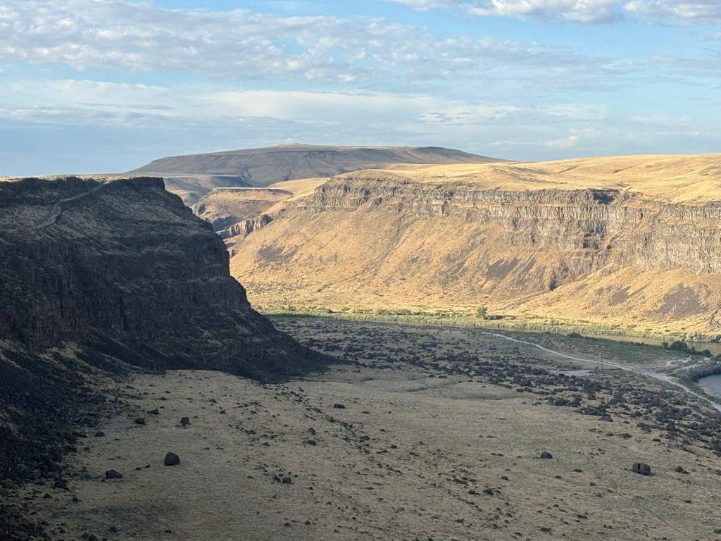
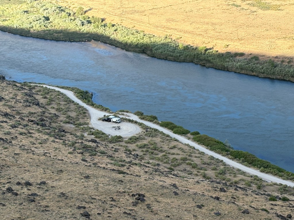
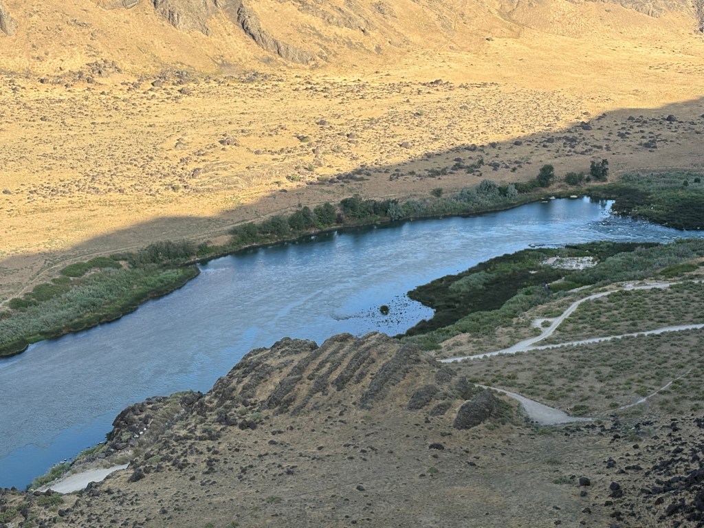
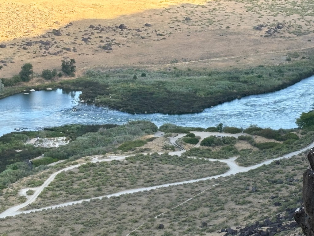
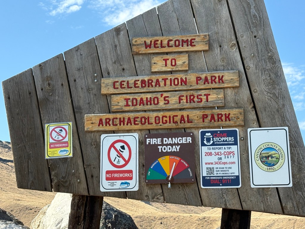
The third and final stop of my 2025 Boise area Snake River tour was a place with petroglyphs and lots and lots of large black boulders in addition to the beauty of the river itself. There is also an old railroad bridge which traverses the river, which has been modified for pedestrian use (the bridge, not the river!).

Views of the river from the bridge:

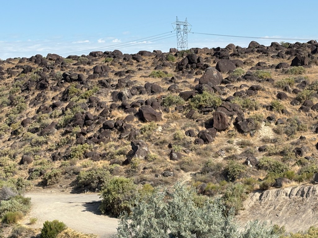
Here are some photos of the boulders:

Those were some of the smaller ones. Here are some bigger ones.

And here are some with the back of my car photobombing the shot.

Turns out they actually have a name. Ready for this? Bonneville Flood Melon Gravel!!

They are believed to be from a catastrophic flood some 15,000 years ago when a huge lake in the western US gave way. The petroglyphs are part of the drama too. They are believed to have been made by Native Americans 10 to 12,000 years ago. The boulders are called melon gravel after a WWII highway sign calling them petrified watermelons.

I didn’t research it but I suspect the catastrophic event was also responsible for the formation of the Bonneville Salt Flats near Salt Lake City when all that water finally settled down.

And as a final thought on the Snake River, I have decided to go back to Hells Canyon after I get back to Seattle from Alaska. I was going to drive south to Tucson anyway and will be doing some other things in the Pacific Northwest as well so I will add that to the list. Who knows, maybe I’ll even do a Jet-boat ride!

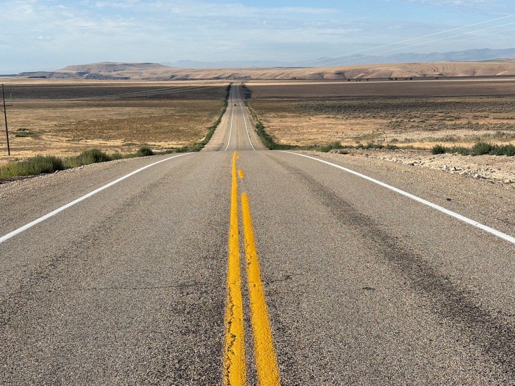
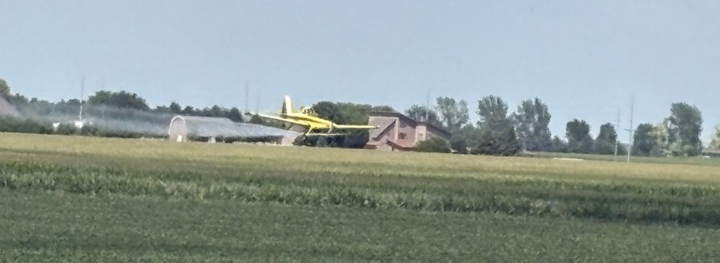
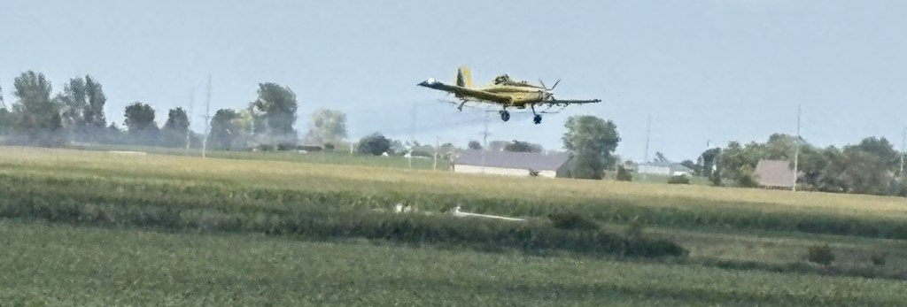
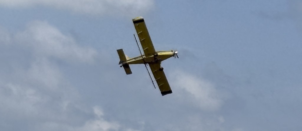
Yeeehaaa – bugs in my teeth…

Snake River – Swan Falls Dam

From Dedication Point (see previous post) I drove southeast along the top of the canyon to get to an overlook for a small dam which crosses the river. I should also mention that on the long, seemingly-straight road I showed you in the previous post, road planners threw in several 90 degree turns just to make sure I was paying attention. Now, as I drove southeast they threw in a 180 degree turn just to make sure I was REALLY paying attention.

Actually the 180 was to allow the road to descend through a series of switchbacks to get down to near river-level (where the camper was parked), for the dam workers and for recreational boaters to launch (above the dam). The 9o degree turns were to adjust for the river working its way northward as it flows west.

The view here was a little different from where I had just been but I will just cut to the chase and show you another panorama from this spot. You may be able to make out the dam in the right-hand side of the photo. Water levels along much of the river are controlled by a dam way back before the water gets to the Hells Canyon rapids, to try and maintain a constant water level after the snowmelt from the Seven Devil’s mountain range, and others, feed into it.

I didn’t stay at this location very long as my next viewing spot would open at 10 am and I still had a long drive to get there.

Going back to retrace my steps from Kuna this was driving northwest towards Dedication Point

When I started driving north towards Kuna and the dreaded interstate I noticed this just off the left side of the road:

“Look, honey, I found the only tree out here, so we can build our dream-nest in it!”

Once I got back to Kuna I headed west to get to another road which would take me south to return to the river. I was only a few miles west of where I had just been but the scenery was very different.

Lush farmer’s fields on both sides of the highway. What a difference some irrigation makes! More on that in a future post, but I’m not quite done with the Snake River just yet…

Snake River – Dedication Point

Monday when I went to the World Center for Birds of Prey in Boise, Idaho I learned that there were several viewing points “nearby” along my old friend the Snake River to possibly see some of the big birds in action. Those of you that have followed the blog for a while know of my posts from Oxbow Bend in Wyoming, near there the “Snake” starts its journey towards the Columbia River Gorge separating Washington State and Oregon; Hells Canyon, with its world-class rapids; and Twin Falls, Idaho and other towns with beautiful waterfalls.

I was told that early morning was the best time to try and catch sight of some birds go I left my Airbnb in Boise at first light and drove to the first stop on the map I was given, Dedication Point. From Boise I went several miles west on the dreaded interstate and took the exit for the town of Kuna. From there it would be 24 miles due south to get to the river, further than I expected.

Once I got south of Kuna it quickly became very open and desert-like. Here is a shot of the road heading south towards the river.

The river separates the land on this side of it from the higher terrain you see in the distance.

Once I arrived at the parking area it was a short walk down to the top of the canyon overlooking the river. There is an amusing JohnBoy story about an encounter I had in the parking lot but I will save it for another time. For now I want you to focus on the natural beauty I was about to experience.

This was the view looking to my left (east, where the river flows from)

Looking almost straight across to the other side

Looking down to where someone was camping next to the river

Towards the right, where there was a drop in water level (I later took a video of a small boat heading upstream and the captain know exactly which side to climb to get through without bottoming out).

And finally, looking right (west) as the river flows out of sight.

And here is a panorama of the entire scene

The sign near the parking lot showed the various big birds I might see at this location. In decreasing order by size – Golden Eagles, Turkey Vultures, Red-tailed Hawks, Swanson’s Hawks, Northern Harriers, Prairie Falcons and American Kestrels. This is a National Conservation Area and claims to have the highest density of nesting raptors in North America, and possibly the world.

Because I was up so high I saw nothing. Well, I did see some movement but they could have been pigeons for all I knew. Look back at the photo of the camper (which I had zoomed in on to the maximum extent my iPhone could). Tell me you could identify what bird a person standing next to it was holding on their arm…

Nevertheless it was a beautiful morning in a beautiful place and after I took the pictures I put my cameras away and just stood and enjoyed the moment for quite a while.

Cropduster

I saw my first set of cropdusters shortly after leaving Indianapolis to continue west to Lawrence, Kansas. There was one on each side of the road flying their tight, low passes over specific fields of crops. In this day and age I suspect they are like farm planting and harvesting machines – guided by computers and GPS, to precisely deliver the nutrients and/or pesticides to certain crops in certain fields.

These photos were taken later in my trip, as I approached Nebraska from the south. I could see the plane passing back and forth low over the highway I was on. When I got up to just short of the field he/she was spraying I pulled off onto a side road to stop and get out of the car to take photos. There was another vehicle there with people doing the same thing.

These photos try to capture the sequence of events as they unfolded. I left the ground in certain photos to show just how low they get.

Despite the low altitude at which he was banking he was just above the power lines you see. I swear I think the pilot saw us taking pictures because be banked right over my head – which I was not prepared for, although that was also where his next pass would take him. I tried to keep the plane in my frame but was unable to. I caught up with it as it was low to the field and running parallel to the road I had just turned off of.

They are very precise with the on/off switch for the spray, again, likely computer controlled, so he didn’t douse us with whatever he was treating the field with.

He then headed north, either going to the next customer or to the airport to reload or refuel.

I see these cropdusters flying all over the place in the Midwest and West. They are usually bright yellow but yesterday I saw one in Oregon which was white.


I also had a VERY thrilling experience the other day. As I was approaching Boise, Idaho I looked to my right and saw that a yellow cropduster was on a runway of a small airfield just off the interstate (I bet it wasn’t more than 150 feet from me). My cruise control was set on 87 and the plane was exactly keeping pace with me for a few seconds, then picked up speed as it lifted off the runway and got ahead of me. The highway then curved slightly to the right and as I looked through the windshield, so did the plane. I wish I had a copilot of my own to have captured it on video. I doubt if I could replicate it even if I tried.

I’m going to try and find the airport on Google maps and see if I can calculate the approximate distance the runway is from the right lane of the highway.