Campbell River – Odds and Ends

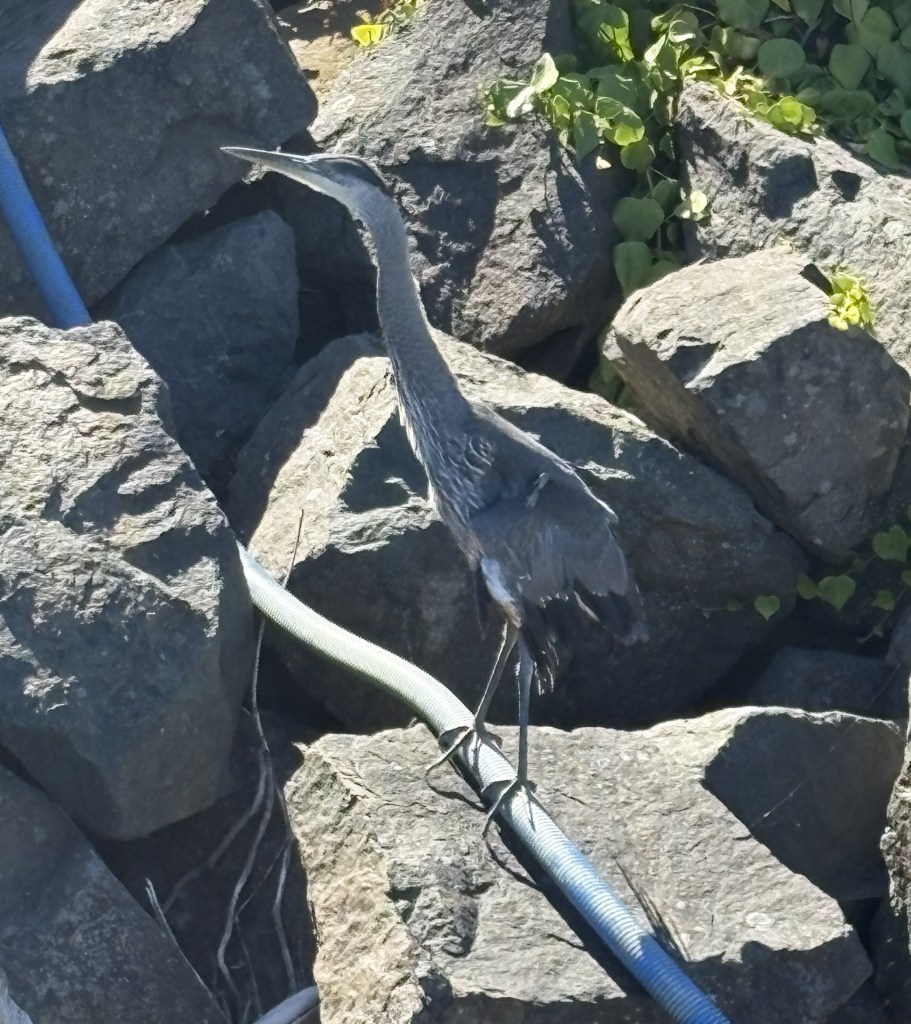
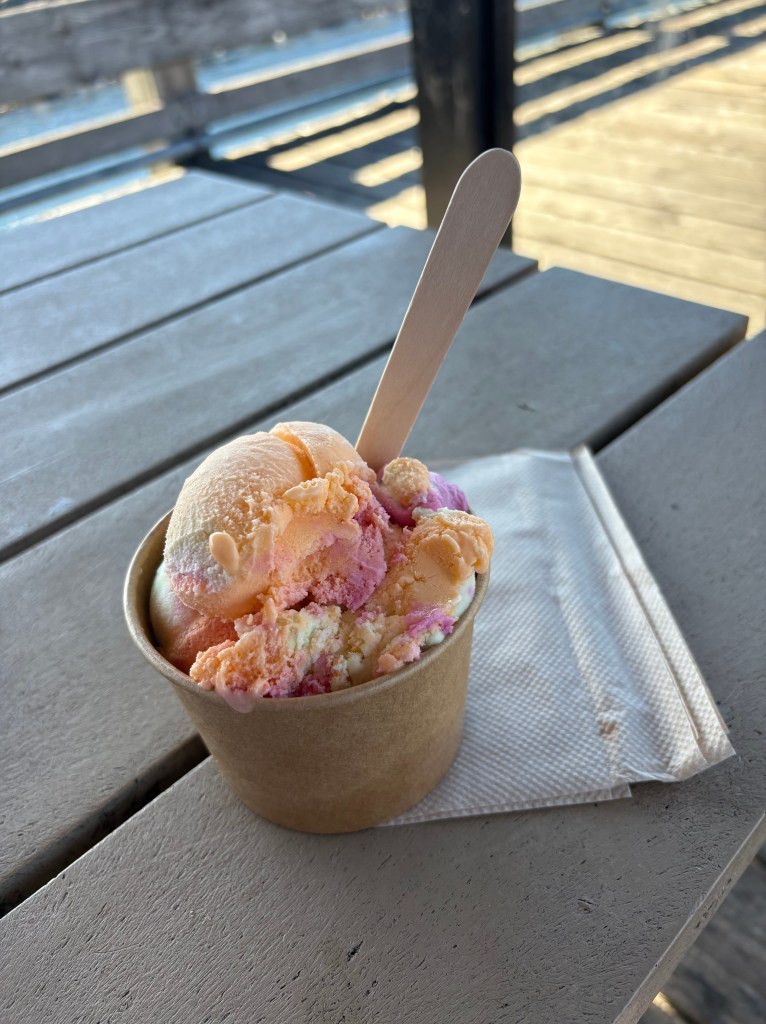
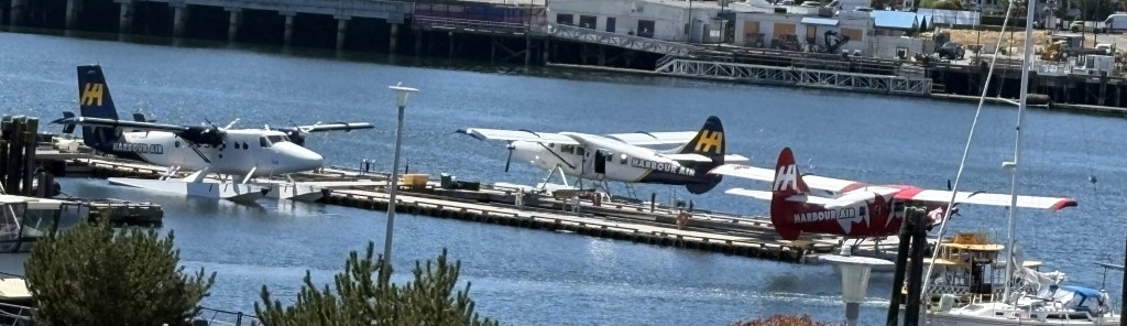
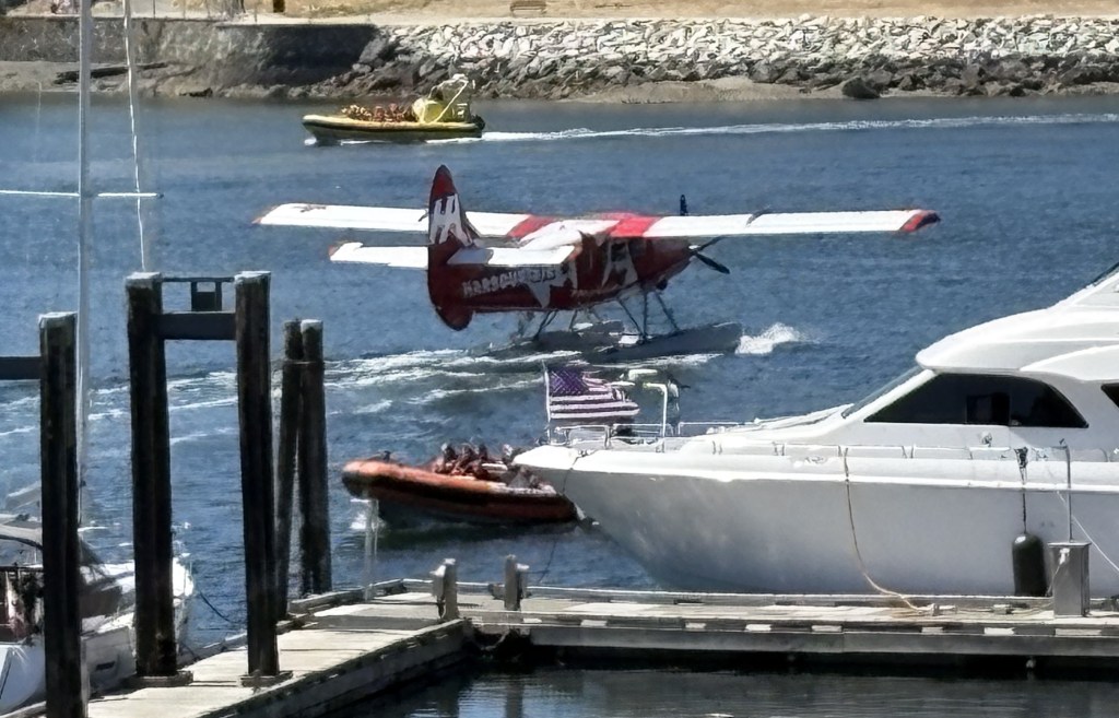
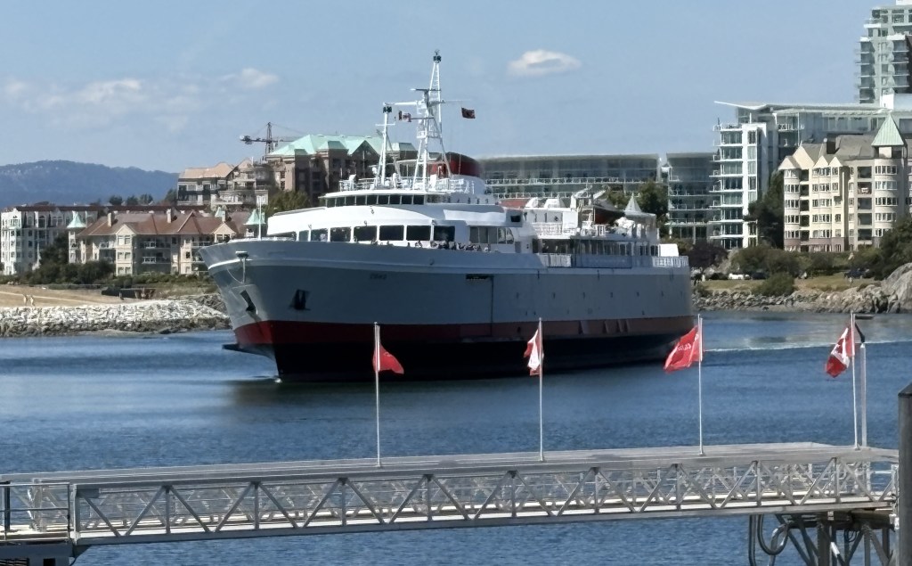
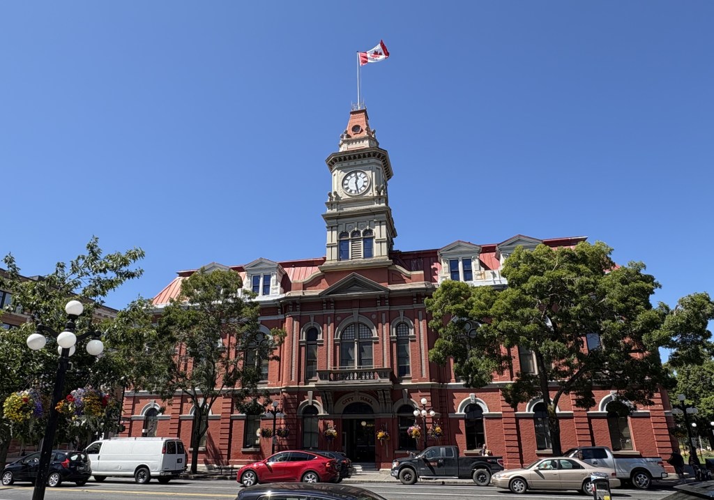
Before I start posting about the two driving days I had once I arrived in Campbell River, let me show you a few miscellaneous photos.

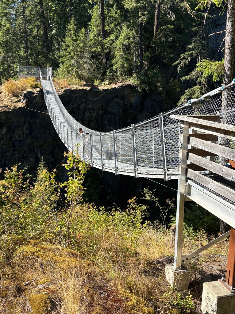
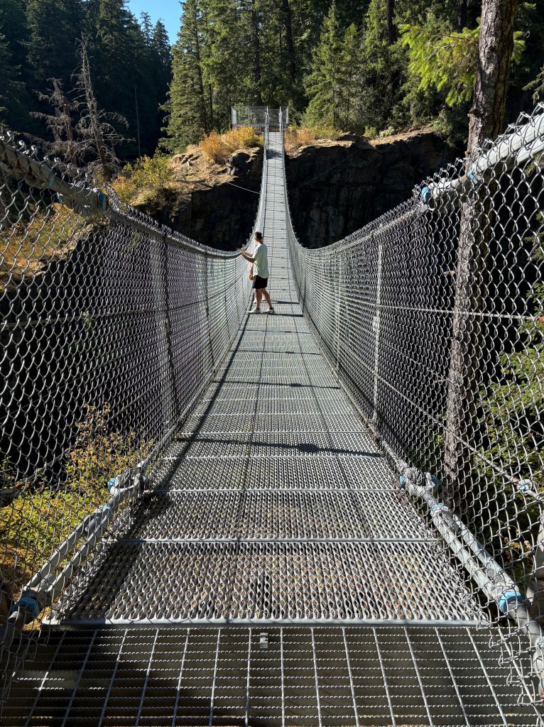
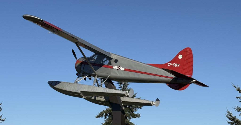
As I was driving home from the Elk River Suspension Bridge the afternoon I arrived, I drove past this real sea plane mounted high off the ground between the north and southbound lanes of a divided highway.

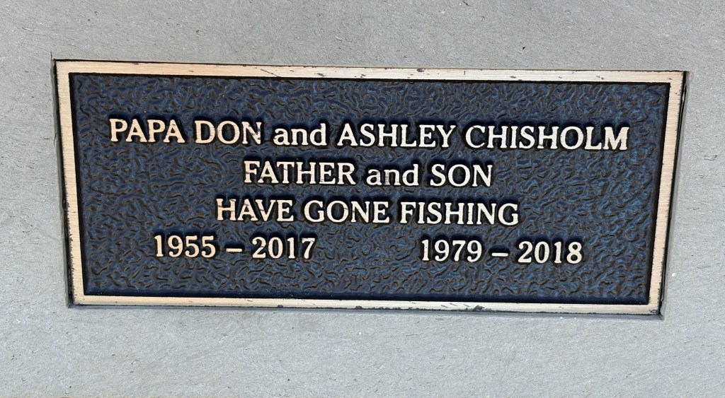
The restaurant where I had lunch the second day I was in town had these words of wisdom from the Dalai Lama posted on the wall:

I’d say he’s a pretty smart dude.

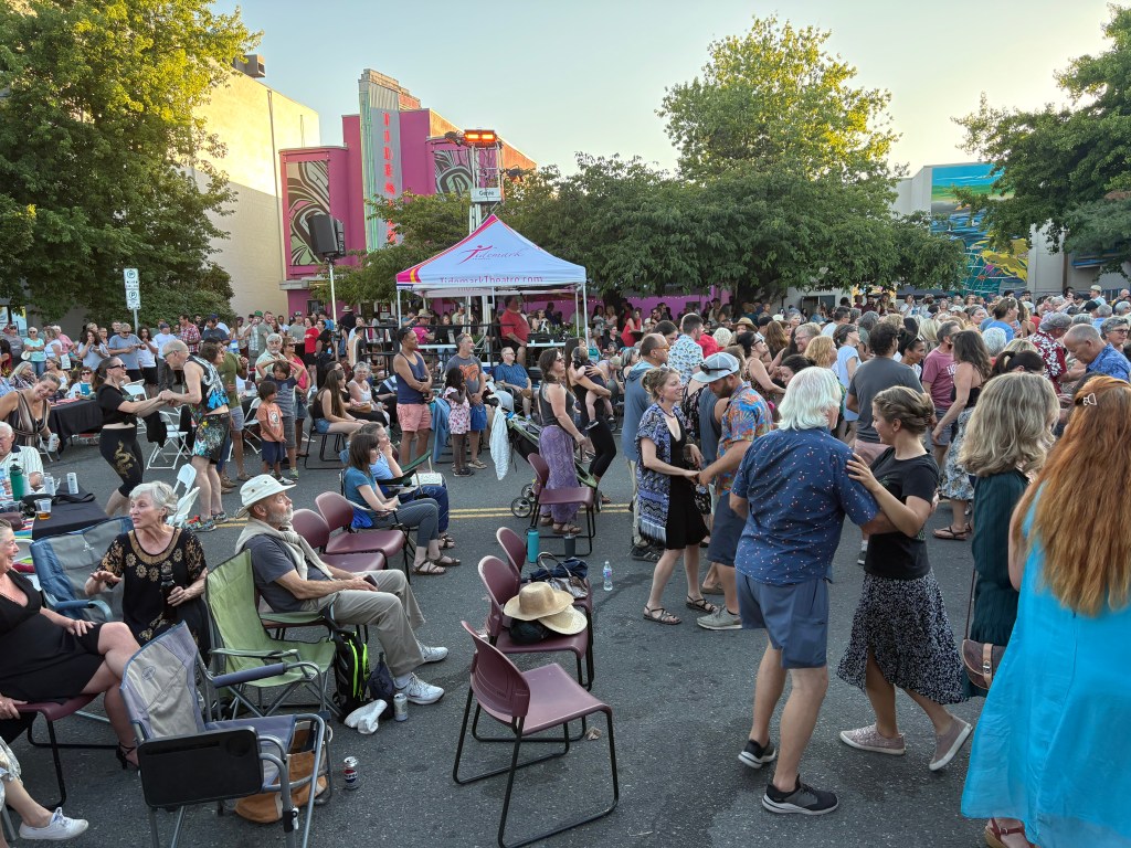
And finally, after I long day of driving to three different destinations the first full day I was in town, my Airbnb hosts invited me to go with them to “Latin Night” downtown, in an outdoor area often used for music events and the like. There was a Latin band there (very good, I must say) and the place was overflowing with people – about 1/5 were there to dance and the rest were watching and/or socializing with their friends.

The three of us were among the watchers, though my Airbnb hostess was actually down here the night before taking lessons. She says she isn’t quite ready to get out there yet but I somehow think it will happen sooner rather than later. Her husband loves the music but says he can’t dance worth a lick (well, he didn’t say that exactly).

As you can see in the top photo, we were very close to the action but were behind the barricade (alcohol control line). There were LOTS of people off to the sides and behind us, too. I was shocked how many people were there!

The dancers were REALLY into it and changed partners often. Young people dancing with other young people, young people dancing with older people, it didn’t matter. They were just there to have fun, and they clearly did.

No, I didn’t dance but I enjoyed watching everyone have a good time.

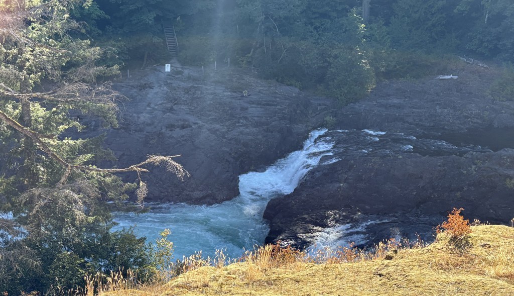
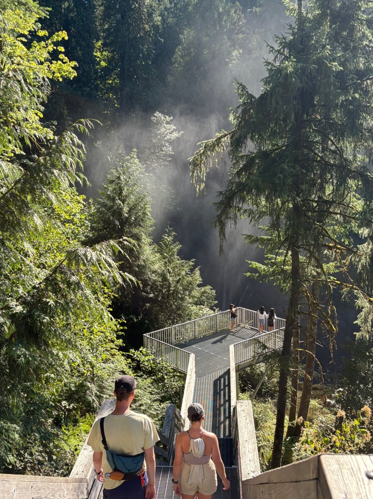
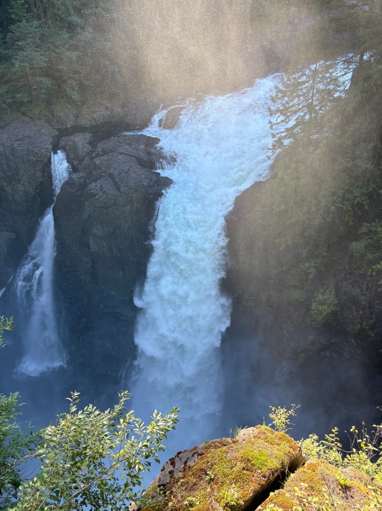
I have two video clips if anyone is interested. I also have some video of the various waterfalls at the Elk River bridge. Still photos of waterfalls make it difficult to appreciate the sound and sense the force of the water. I don’t know how to post videos on the blog but I can email them to anyone who asks. Click on “Contact” at the top of the home page to send me a request.

Elk Falls Suspension Bridge

After spending a good, long while out on Discovery Pier, enjoying a beautiful summer afternoon after a busy driving day, I headed inland a few kilometers to check out this new bridge, built by BC Hydro, to allow visitors to walk down and get an up-close look at the powerful waterfall along the Elk River.

After following the well-marked path through the woods leading down to the bridge from the parking lot (the information center had closed for the day) I descended a long set of sturdy, metal stairs to arrive at the bridge.

From the platform on the other side of the bridge, this was the view looking left towards the river taking water to the main fall.

I then crossed back over the bridge and went down yet another set of sturdy, metal stairs to a viewing platform very close to the main fall. You can see the mist rising from the water after it dropped to the rocks below.

And the “natural” part of this attraction – the main fall itself.

Once the water has fallen it travels on to its ultimate destination, as seen from the extension bridge:

When I walked back up to the parking lot I took this “photo of a photo” which was on an information board explaining the bridge project, and the ongoing construction of yet another dam to back-up the water supply to Campbell River. It shows everything I just described from high above.

(Photo credit: BC Hydro)

My Airbnb host in Campbell River explained that BC Hydro ran a new set of pipes VERY far underground to channel water to the town (and others, I’m sure). This whole area sits atop a major fault line which runs up and down the west coast and their house, built 8 years ago, had to meet strict earthquake-proof standards. The fear is that if an earthquake occurs, the current water supply may get cut off.

Campbell River, BC

After leaving Victoria my next three nights would be spent in Campbell River, about halfway up the eastern (inland) side of Vancouver Island. My first stop after I rolled into town? You guessed it – the Visitor Center. Once again, the young staff members were extremely helpful answering my questions and even suggested I return the next day to speak with another staff member who used to live in Alaska about some of the questions I had about roads up that way. I am now thinking about driving up to the top of British Columbia and passing into the extreme southern edge of the Yukon Province, then proceeding west to Alaska rather than flying.

This was a part of a totem pole, or perhaps a ship, which was just outside the entrance to the Visitor Center (located on the lower floor of a museum). I guess I should have read the sign!

When I walked back to my car before heading out on Discovery Pier, located behind the museum and adjacent to the city’s harbour, I saw this on the dashboard of a car which was also parked in the free parking lot.

I couldn’t determine by looking through the windshield who it was (I am still recovering from double cataract surgery right before I left home and have to wait another few weeks before getting new glasses to help my close vision) but I can only guess that it had to be Elvis.

This is Discovery Pier, so named because the body of water you see under it is Discovery Passage which runs between Vancouver Island and Quandra Island, which is the closer land mass you see on the other side (the mountains further away are on the British Columbian mainland).

This is the view from the walkway going out to the pier looking right (south).

This heron landed on the rocks just below the walkway as I was preparing to take the next photo.

This is the view looking from the pier to the left (north):

And turning further left you can see the masts of many of the boats docked in the harbour (from the walkway, close to the seawall and making it harder to see over it):

There was snow on the high mountains off in the distance looking northeast.

And these two ferries were crossing the Passage in opposite directions:

They built nice, sturdy chairs which are securely attached to the pier, for fishermen and women to use while they wait for their catch to take the bait.

They each had a plaque in memory of some of the people who loved to fish here.

There were free buckets (and be sure to take a lid!) next to the stand selling ice cream, sherbet and other treats to the public.

I enjoyed a double scoop of rainbow sherbet, which I haven’t had in years.

Nanaimo, British Columbia

After my stops in Duncan and Mount Prevost I arrived in Nanaimo (pronounced nuh-NIGH-mo). First stop, as it often is when I go to a town I haven’t been to before, was the Visitor Center. There were three very helpful young people working there and they gave me some great ideas of where to visit and where to have lunch (confirming my pre-trip research).

There was an amazing mural on the wall made from rocks! It was enormous, and must weigh a ton – literally.

My next stop was the marina next to the fashionable Nanaimo Yacht Club.

There was a large panel with an octopus on it as I walked towards the (public) dock:

The sign below it stated that it is an artwork depicting a Giant Pacific Octopus, which is found in nearby waters. The sign went on to say that this area has some of the best diving spots in the world, where divers may see this octopus, wolf eels (with a face only a mother could love), nudibranches (one of the most colorful fish I have ever seen, and available in MANY varieties), anemones and sea sponges.

Sometime when you’re bored Google “nudibranch” and look at the images. The variety will amaze you. But I digress. I’m here to take photos of the scenery.

Next stop – Pipers Lagoon.

I was born in Evanston, IL, the first suburb north of Chicago. As a kid growing up (we moved to Pennsylvania when I was 12) my parents would occasionally take me to a lagoon, located just off Lake Michigan. That is the only time I have ever seen or been to a lagoon until today, which is why I sought this one out.

This is the recently renamed Arrington Lagoon in Evanston, a great place to take young kids to feed the ducks or bring their toy boats.

(Photo credit: Businessyab.com)

(Photo credit: Karie Angell Luc)

THIS is Pipers Lagoon in Nanaimo:

A very different type of place because it is natural, not manmade. Of more interest to the locals is the beach, just out of frame to the right in the photo above.

And to rinse yourself or the kids off after having been in the water, this two-headed serpent:

And yes, I do have a strange obsession with taking photos of dead trees:

As I drove back towards town for lunch I caught this view as I was driving along a road at the top of a hill.

The restaurant I planned to go to was closed the day I was in town (that happens to me a lot). I was going to have REAL Ramen, not the $1 stuff college kids buy that is probably all salt. Instead, I went to the second place on my list and had a yummy bowl of Pho, along with two orders of spring rolls.

Victoria to Duncan, BC

After two nights in Victoria it was time to head northwest, up the eastern (inland) side of Vancouver Island. Shortly after leaving the city I immediately I started to see huge highway signs warning of Elk. Not deer. ELK.

Oh, they have deer too, mind you…

… but Elk are much larger and pose a greater risk to motorists. Oh, and they bears up here too. Black bears AND grizzly bears. I brought two cans of bear spray for this trip. A small black bear ran across the road well ahead of me the other day at about 10 in the morning. One must always be vigilant when driving.

Soon after leaving town I stopped as a rest area near Malahat. I didn’t need to rest, but wanted to take in the scenic view.

And for those of you with eagle eyes, yes, that is snow on the distant mountains in the upper right corner of the photo.

When I texted that photo to friends and family members I said that it was the mountains in the Olympic National Park in northwest Washington State. That is not correct. It is actually Mount Baker, and other mountains, still in northwest Washington but further inland, up near the Canadian land border, looking east from this vantage point, not south.

Another lake I could see from another scenic overlook just a little ways up the road:

I got back on the highway and soon arrived in the little town of Duncan. Duncan is known for it’s totem poles. There were lots of them scattered around town but the visitor center there wasn’t open yet and I needed a map to find them all. It was also early in the morning and the sun angle was not conducive to taking great photos.

Here are a few that I was able to find:

And I spotted this big guy across an intersection, in front a round office building.

It is called Cedar Man, and is the widest totem pole in the world, measuring 5 feet, eleven inches across. The carver is a man whose “English name” is Richard Hunt. He is a member of the Kwagu’l indigenous tribe and his given name is actually Gwe-la-y-gwe-la-gya-les. I got that information from the small sign at the base of the pole, which is present at each pole in town.

Indigenous words are all presented in a very elaborate font which I can’t replicate here, but when I start posting more photos of totem poles and their carvers after I have researched them in more detail I will show you photographic evidence of what I’m talking about.

A little further north of Duncan I turned off to head over to Mount Prevost, which promised fantastic views of the area.

I left the house in the photo to give viewers some reference of just how tall the mountain is (2,585 feet). I drove up the road towards the parking area but the road was closed before I got to it and I could tell it was still quite a climb to the top. I am not a hiker so I turned around and left. There is quite a view, though, based on photos I found online.

As I was driving back to the main highway I saw this sign which shows the current fire level risk in Vancouver Island.


I read this morning that the fires in Manitoba province are getting worse and even more have been detected in just the last week. They have already experienced three times the average amount of land loss to wildfires, and tens of thousands of people have been evacuated, mostly by air (not many roads up north). Think about that. Tens of thousands. There are still large, out of control fires in northern Saskatchewan province, too. All of them are producing dangerous smoke and there are health warnings in many areas well south of the actual fires.

This area has been under a huge high pressure dome the entire week I’ve been here. That’s good for me, nice clear days and pleasant temperatures, but bad for residents of those two provinces because high pressure keeps the smoke close to the ground. The weather forecast indicates that that situation is fixin’ to change here in a few days and hopefully that will help clear some of the smoke out.

I am going to resume booking my Airbnb’s along my original route and will make a bee line for Saskatchewan province and get that portion of the trip done so I can focus on Alberta and British Columbia. There are always new fires popping up and the situation can still change on short notice. Canada has excellent resources for monitoring all of the various fires so I will be well informed as to their status.

Thunderbird Park

Toward the end of the day Monday I set off from the Inner Harbour in search of this city park which was said to contain several large totem poles. The pictures didn’t turn out very well as they were almost all taken looking towards the setting sun. I will be making another post specifically about totem poles later, as I have seen many in different locations during my journey but want to do more research into their meaning and significance to the indigenous people who create them before I share it with you.

Thunderbird Park, once I finally found it, is located very close to Beacon Hill Park, a huge city park which offers many types of activities and open spaces. I went in it and walked around a bit. At one point I was approached by these two friendly black squirrels, undoubtedly looking for a handout:

Unfortunately I had nothing to offer them.

When I decided I was getting tired and had better get back to my car is when things went awry. Although I hadn’t walked all that far to get to the Park from the Inner Harbour I got very confused about my sense of direction and ended up way off course. And I mean WAY off course. At one point I walked toward what appeared to be the harbour only to find that it was where the enormous cruise ships dock (and I STILL don’t know exactly where that is!).

I walked and walked through nice residential neighborhoods with pretty landscaping and flower gardens. My knees were beginning to let me know they weren’t happy with me (a repeat performance after a long day of walking around Seattle only a few days earlier) and you don’t know how happy I was to see a sign near a hotel for the Water Taxi, many of which I had seen buzzing around the harbour during the day.

I got on board and when I told the operator that I wanted to go to the government buildings near the harbour. He told me that it would be a while before he could do that as he had to take other customers to other locations first. I said that was fine, just so I didn’t have to walk anymore!

I ended up with just over 27,000 steps for the day, which I believe eclipses my earlier high numbers in Quebec City and Ottawa in eastern Canada back in 2019. My total just three days earlier in Seattle was just over 18,900.

I was one tired buckaroo when I finally got home, and slept very well that night!

Some of the boats in the Inner Harbour

The red, white and blue vessel above is one of several Victoria Clipper ships, some of which transport people at high speed either locally or between Seattle and Victoria. I rode one many years ago and during that trip also saw a new one being delivered aboard the equivalent of a floating flatbed. This one sat in the harbour all day until I returned to the harbour after having become disoriented and walking way more that I intended to.

Three sailplanes were docked in the harbour. Shortly after I took this photo the red and white one fired up it’s engines and propelled itself out to the “water airport” I mention in a post a few days ago where it took to the sky.

And exactly 24 hours after I arrived in Victoria on it the day before, here came the MV Coho, transporting another batch of travelers from Washington State:

Downtown Victoria, BC

Monday I drove into downtown Victoria and parked in a multi-story Parkade deck about three blocks from the Inner Harbour. My plan was to walk to see many of the various attractions I had noted on my “things to do” list. I was a little concerned that the city and the attractions might be too crowded because large cruise ships dock near Victoria and discharge many of their passengers into town. It wasn’t nearly as bad as I feared it might be. Here are some of the things I saw as I walked around the city:

An “on the sidewalk” toilet:

A store selling some pretty amusing t-shirts:

Later in the day I saw two different people wearing the raven t-shirt. I believe what I saw out by the water was a crow, not a raven. Ravens have noticeably curved beaks while crows do not.

Some words of wisdom from the late Jimmy Dean (who died in 2010, yet still promotes his products in radio and tv ads):

A very hungry seagull which, surprisingly, I didn’t see all that many of as I walked around by the harbour.

City Hall:

Signs near Chinatown, including special street name signs:

I had to wait in order to walk out into the middle of the street for that one.

Some amusing signs:

Some nice tilework in an entryway to a courtyard in the open space between buildings:

But the thing that impressed me the most were all the baskets of pretty flowers hanging on the lamp posts around town:

They were everywhere. I think that always adds a nice look to a city street. I also walked around many residential streets near the harbour and they, too, were well adorned with pretty flower beds. The only place that overdid it a bit, IMHO, was the Empress Hotel, a swanky hotel near the harbour. Their display was quite gaudy and could have been cut way back without sacrificing anything.

I could have gone in to the Empress for high tea and sipped the nectar with my pinky extended but I’m too cheap.

I saw this statue near the harbour as well:

“I will now make this bird disappear by passing it through this horseshoe”

About a block from the Empress Hotel was this large whale topiary:

And finally, outside the ferry terminal building, an example why you might not want to buy a dark blue car instead of a lime green one:

My first afternoon on Vancouver Island

The ferry from Port Angeles, Washington State dropped us off in the harbour in Victoria mid-afternoon. I had a scenic drive which would take two hours each way planned so I decided to go ahead and get it checked off the list since I didn’t know my way around the city. It was easy to get on Route 1 (the Trans-Canada Highway) from the ferry terminal and then I hopped on Route 14 which would take me around the bottom of the island to the southwest and then follow the Strait of Juan de Fuca which separates Vancouver Island from Washington State.

I passed through little towns like Langford, Sooke, Shirley and Jordan River. The road eventually turned inland and climbed up into the San Juan Ridge of mountains. Ultimately the road would end at Port Renfrew. I never made it that far. Once the road started climbing up into the woods, a) the drive became like something I could do in North Carolina or Virginia – driving through a tunnel of trees, but more importantly, b) the road had lots of curves, but more distressing were the severe undulations which often caused the car to almost bottom out if I went too fast. I now drive a Toyota Camry which, when loaded with all my stuff, sits pretty low to the ground (and I bought it with low profile tires on it compared to what I normally buy). I finally said “enough” and turned around. I was getting carsick on land!

Here are some panoramas looking west towards Washington State. The photos make them look tiny, especially using the panorama format, but actually looking at the mountains of Olympic National Park was very impressive, even from a distance.

This crow landed on the rock in front of me as I was getting ready to back out from my parking place by the beach.

That photo was taken at Jordan River and from there it would take me about an hour to get to my Airbnb for the next two nights.

Hurry up and wait

Now that I have been in Canada for nearly a week I have decided to put all my posts from the United States, traveling from Durham to Seattle during July, on hold and post them at a later date. I took lots of photos in Ohio (Cleveland and Cincinnati), Indianapolis, a surprise destination in Kansas, Boise and Seattle, plus unexpected finds I stumbled upon along the way. It takes time to go through them all and select which ones I want to post (and I am now using both my smartphone and my digital camera). So they will wait until I get back to Durham, or if I get snowed in somewhere up here in the Great White North.

I do want to tell the amusing JohnBoy story I promised you before I switch countries. This took place the morning I drove west of Boise and then south past Kuna to get to the Snake River.

When I arrived at first overlook there was a small car already in the parking lot. I didn’t see anyone around and assumed they were down by the top of the cliff overlooking the river (which I couldn’t see from the gravel parking lot).

I was moving my car around trying to decide which way to angle it to make my sunshields in the windows most effective. I tried pulling in behind the silver car which was parked parallel to the edge of the parking area but with the front of my car facing the edge, thus perpendicular to the silver car. I was quite shocked when something popped up into the rear window and looked towards me.

In that split second I thought “there’s a frickin’ baby gorilla in that car!!”. I swear to God that’s what it looked like. Now keep in mind, I had my sunglasses on, and the back windows of the small car were tinted, making anything inside it look dark.

I pulled my car to the other end of the parking area, got my smartphone out and walked over to the car to take a picture. About that time, a man who had been sleeping in the back of the car opened the back door and got out. Boy did I have egg on my face…

He walked over to the lavatory to use it and I waited at a distance for him to come out. I started to explain why I was approaching his car the way I did (he might have thought I was going to break into it) but he muttered something that implied he wasn’t terribly interested so I left him alone, used the lavatory myself, and headed down towards the river.

Now I know what you’re thinking…. JohnBoy, why in the world did you think there would be a baby gorilla inside someone’s car near Kuna, Idaho??? I will direct your attention to a post I made in 2017. Enter “Boise” in the search box on the home page and then go down to the link that will take you to a post titled “Boy, I sure didn’t see this one coming”….

Maybe I’m not as crazy as you think.