August 13, 2025
After leaving Yoho National Park I crossed into Banff National Park and began my trek southeast. Jasper and Banff National Parks both have an elongated footprint which slants northwest to southeast. They are both on the spine of the Canadian Rockies and help form the western edge of Alberta province. Banff National Park covers just under 2,600 square miles, about 60% the size of Jasper NP. Banff NP has over 100 named mountain peaks.
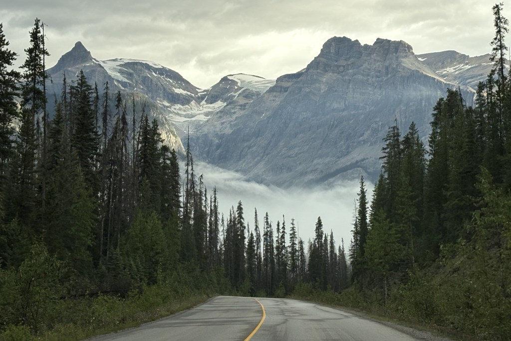
Once I pass the town of Lake Louise on the Trans Canada Highway I would travel about 40 miles to get to the town of Banff. I have traveled the northern part of this road twice, both times driving northwest after leaving Kootenay National Park. Today I will be driving southeast so I be seeing a different vantage point of several mountains I have already seen, and will be seeing some new ones which I could not see as I drove north,
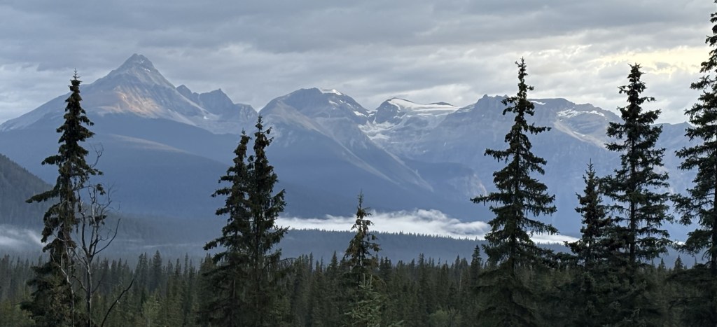
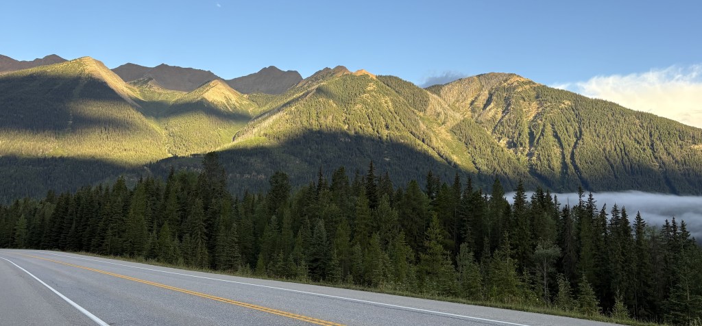
The next two sets of mountains were being backlit by the early morning sun as I approached them.
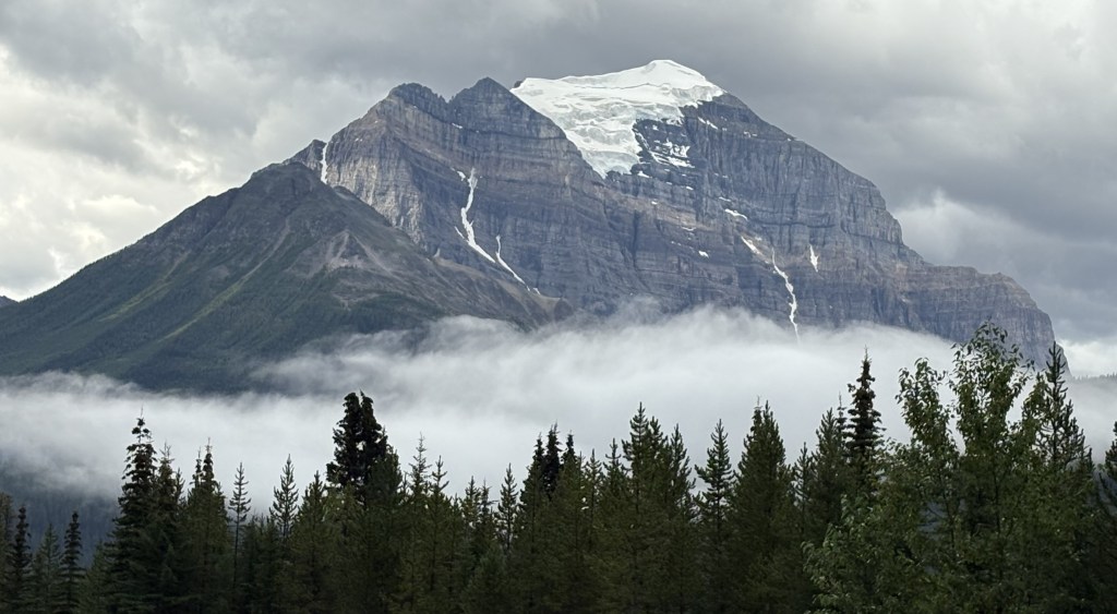
I stopped at a rest area before reaching Banff and took these photos. The first one is looking back northwest towards Kootenay NP.
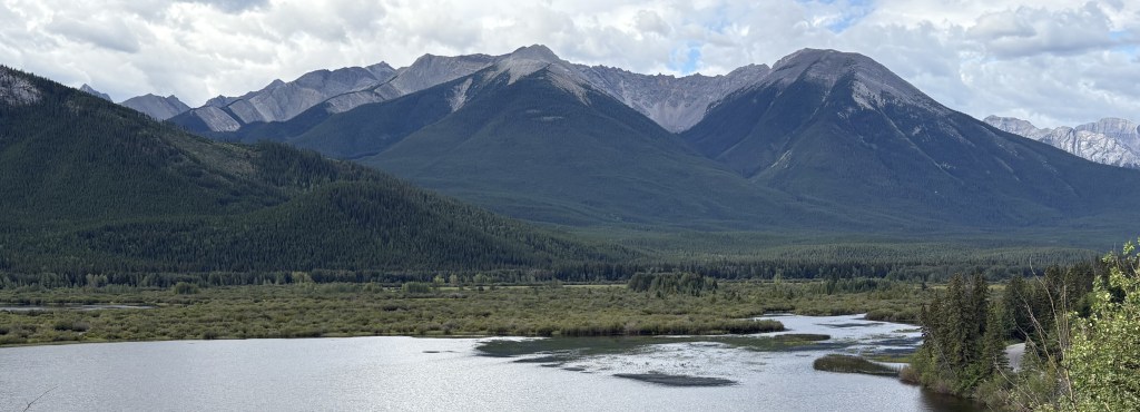
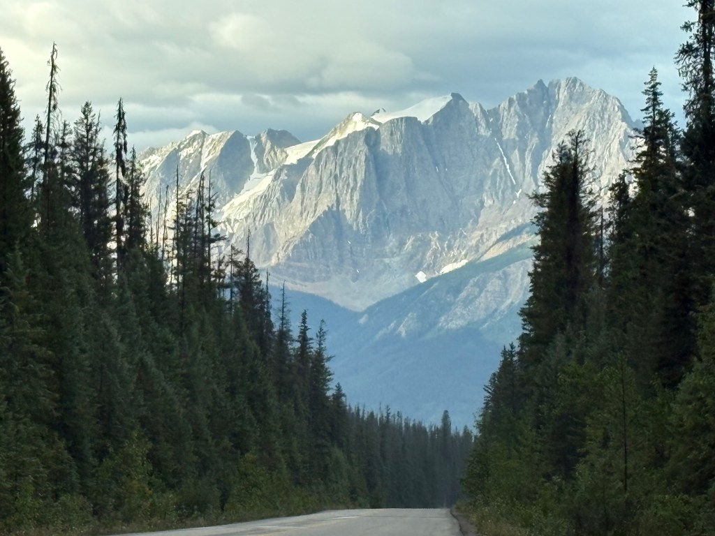
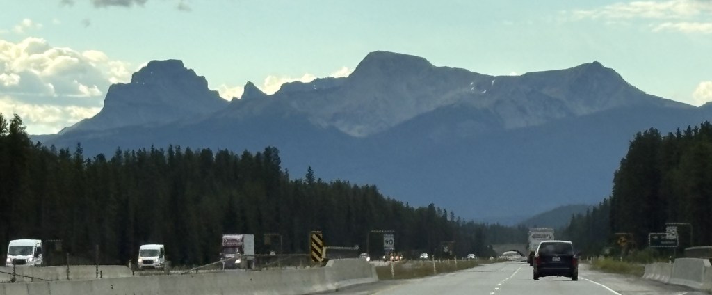
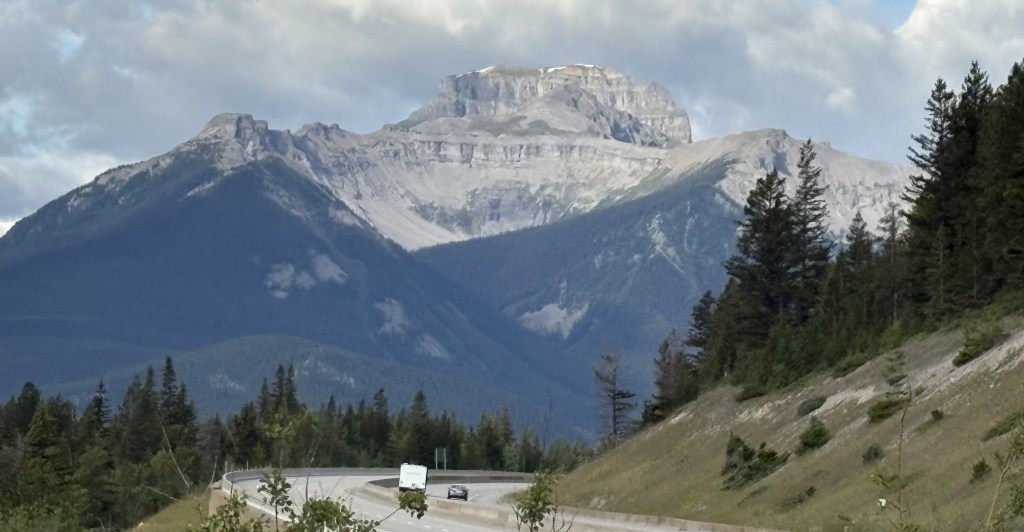
And this next one is looking back towards the highway I had just driven down, with the upper part of mountain now basking in the morning sun.
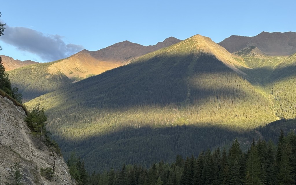
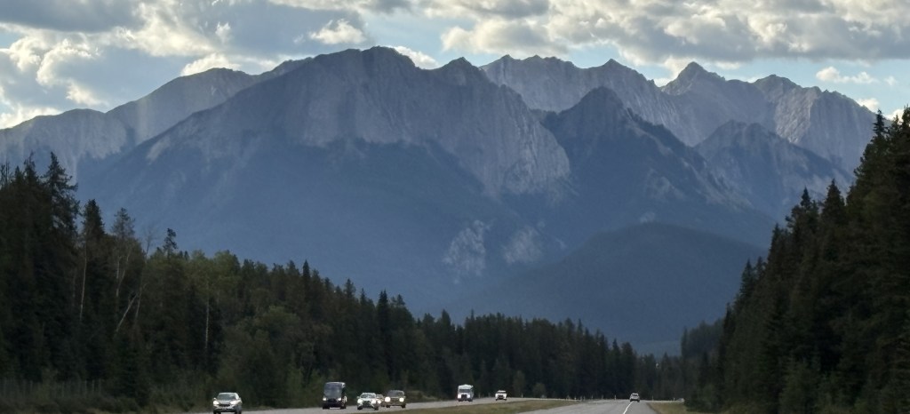
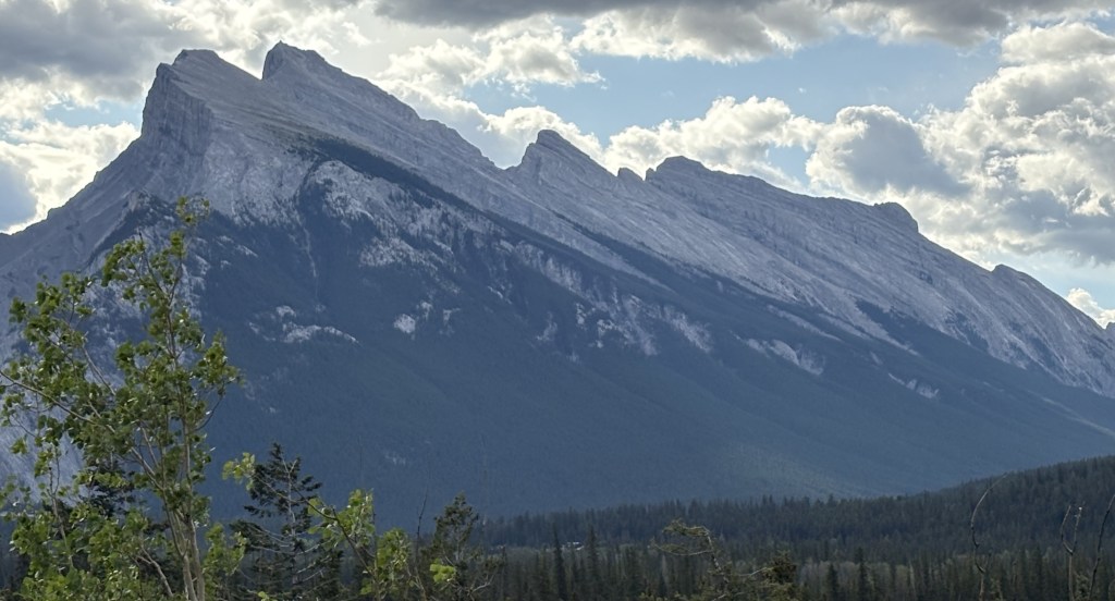
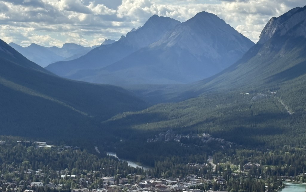
The next one is looking southwest towards the town of Banff.
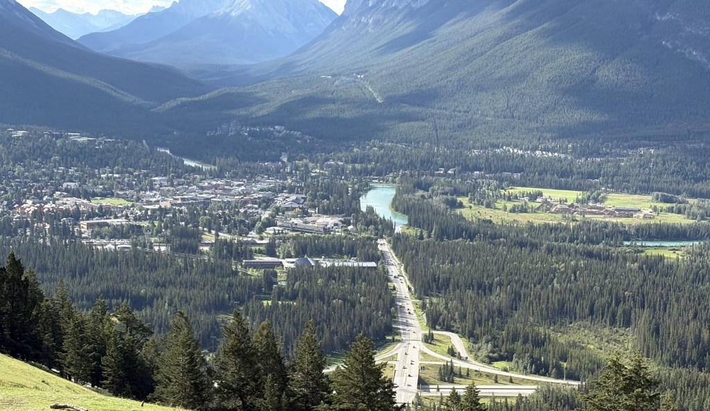
I would soon exit the highway and turn left, climbing a mountain towards the Mount Norquay ski area. From a scenic viewpoint along that road this is the view looking towards the town of Banff. You can see Hwy 1 going from left to right at the bottom of the photo.
Below is a closer look at town. You can see the Bow River on the right and the shopping district to the left of it. If you look closely at the upper left hand corner of the photo you can see the large Fairmont Banff Springs hotel. You will be seeing more photos of all those things in subsequent posts.
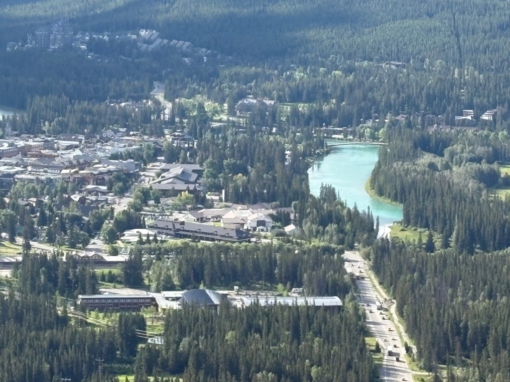
Banff sits at an elevation of 4,600 feet and has a permanent population of about 8,300. As with Jasper, and many other towns in Canada, that number increases significantly with year-round visitors. It was named by a railroad executive after his hometown in Scotland.
Below are some of the big mountains west of town. In that photo the Banff Springs Hotel is just right of center at the bottom. To the right and above it is the road leading up to the Banff Hot Springs and the Banff Gondola.
I ventured into town to get some maps and get a feel for the lay of the land. Banff has a reputation for being overrun with tourists, especially in the winter when people are visiting the local ski areas. I would actually be staying in the town of Canmore, about 20 miles further south, for several nights but will make a quick trip into Banff today, and will drive up from Canmore on another day to try and beat the crowds.
Here is the first place I visited when I drove downtown.:
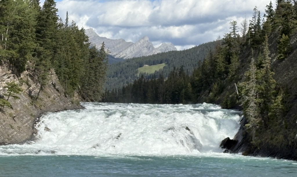
The photo above is of Bow Falls. The Bow River originates at the Bow Glacier up in Jasper National Park, along the Icefields Parkway. It will pass through southern Alberta and Saskatchewan provinces before turning north, pass through Manitoba province and empty into Hudson Bay.
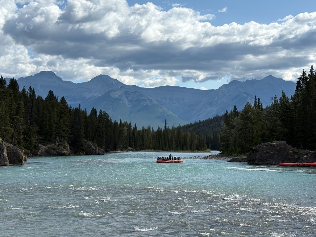
Below are some rafters setting out on the lower part of the Bow River.
After navigating mid-day traffic in town I decided to go back out to the highway and drive down to Canmore and get settled into my Airbnb there. I will return to Banff in a day or two to spend more time here and will have lots of photos to share.