August 13, 2005
I have driven through Yoho National Park 4 times during my visit to Golden and thought I’d better tell you a little bit about it as I pass through it a final time on my way south to Banff.
The name is an exclamation of surprise in the indigenous Cree language, though there isn’t any record of the Cree people ever having lived here so I don’t really know why it was chosen. The Park covers a little over 500 square miles and has 28 named mountain peaks over 9,800 feet. The tallest is Mount Goodsir at 11,703 feet, not visible from the highway due to closer mountains obscuring the view. As you will see, some of the mountains are low enough to only be covered with trees, and it is a very popular destination among hikers. It may be hard to see but the colored dotted lines on the map represent cycling or hiking trails.
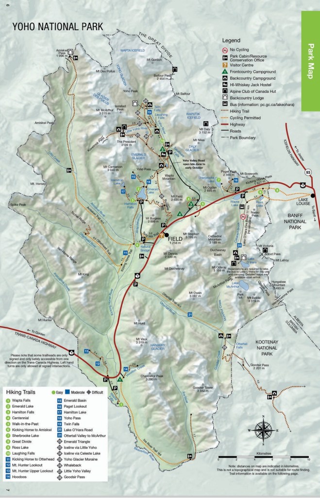
(Photo credit: Parks Canada)
The only road which passes through the Park is the Trans Canada Highway (Hwy 1), shown on the map in red. Several roads branch off from it but I only took one of them as I left Golden.
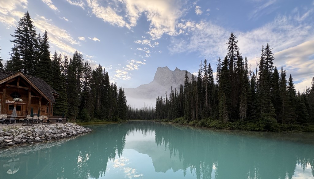
Emerald Lake (upper portion of the map, above and left of the town of Field) is frequently shown in brochures because of it’s brilliant color. Every time I passed by the road there was an electric sign near the highway exit indicating that the parking lot was full. As I returned from my second trip through Kootenay NP I took a chance and drove up anyway, only to find that traffic was at a standstill before I even got to the parking lot. I sat there for a while hoping to see vehicles leaving but since we seemed to be at a dead stop I turned around and left, deciding that I would drive up first thing in the morning as I was leaving Golden.
Here are some of the things I saw during that drive.
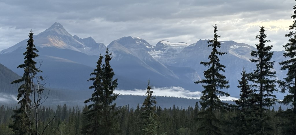
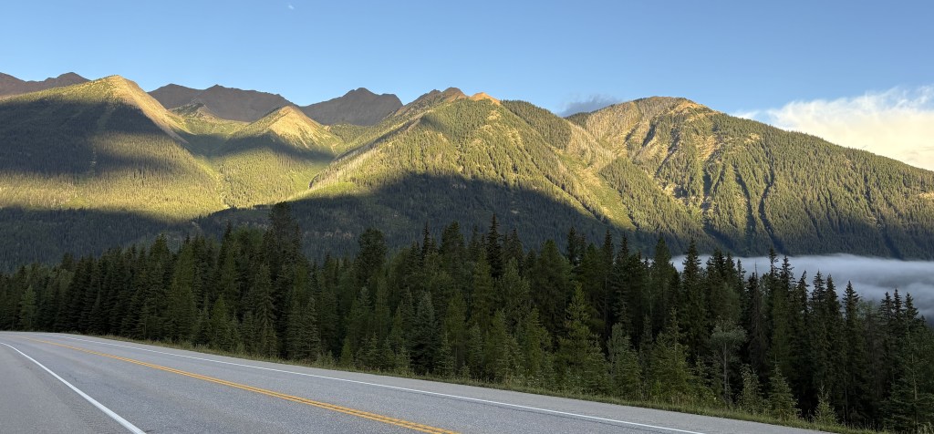
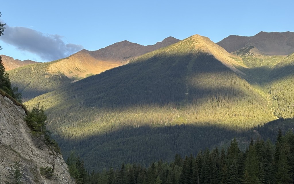
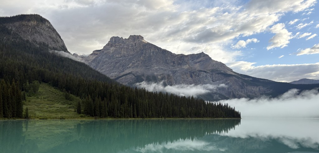
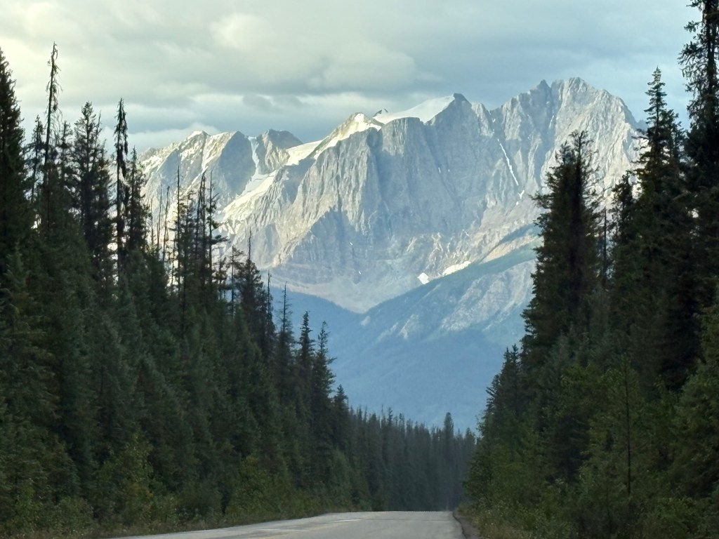
It was a strange morning, cloudwise. The two photos above were taken one minute apart, from the same section of the highway! I know it was clearing in one direction but there were heavy clouds when looking in another.
I drove directly up the mountain to Emerald Lake – no line, no waiting. The parking lot was only partially filled so the “go early” advice was sound.
The lake surface is at 4,267 feet elevation and Golden is at 2,600 feet so I had climbed over 1,600 feet to get here, encountering fog or low clouds along the way.
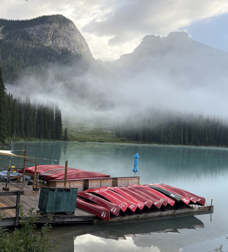
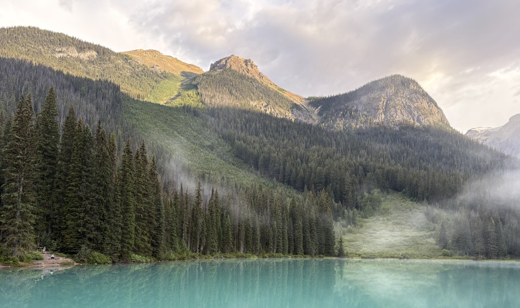
You can see that the sun was finally able start burning off the fog.
Another lake in the Park, Lake O’Hara (up near Hwy 1), is only accessible by making bus reservations in advance. The long road leading north to Takakkaw Falls is only open a portion of the year and is considered difficult to navigate for large vehicles. Recreational vehicles or vehicles towing trailers are not permitted on it.
From what I’ve read and brochures I’ve seen, Yoho is extremely popular with hikers and I’ve seen many great pictures by visitors who have hiked up to high elevations. If you enjoy hiking you could plan your whole vacation in the Canadian Rockies and have a never-ending variety of things to see.
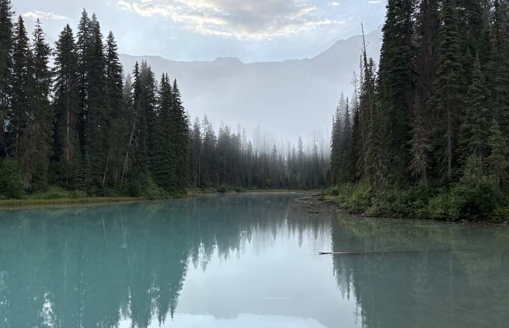
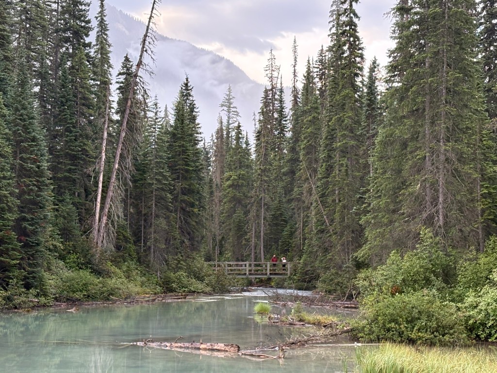
The photos below were taken as I started driving down to Highway 1.
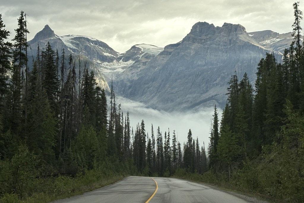
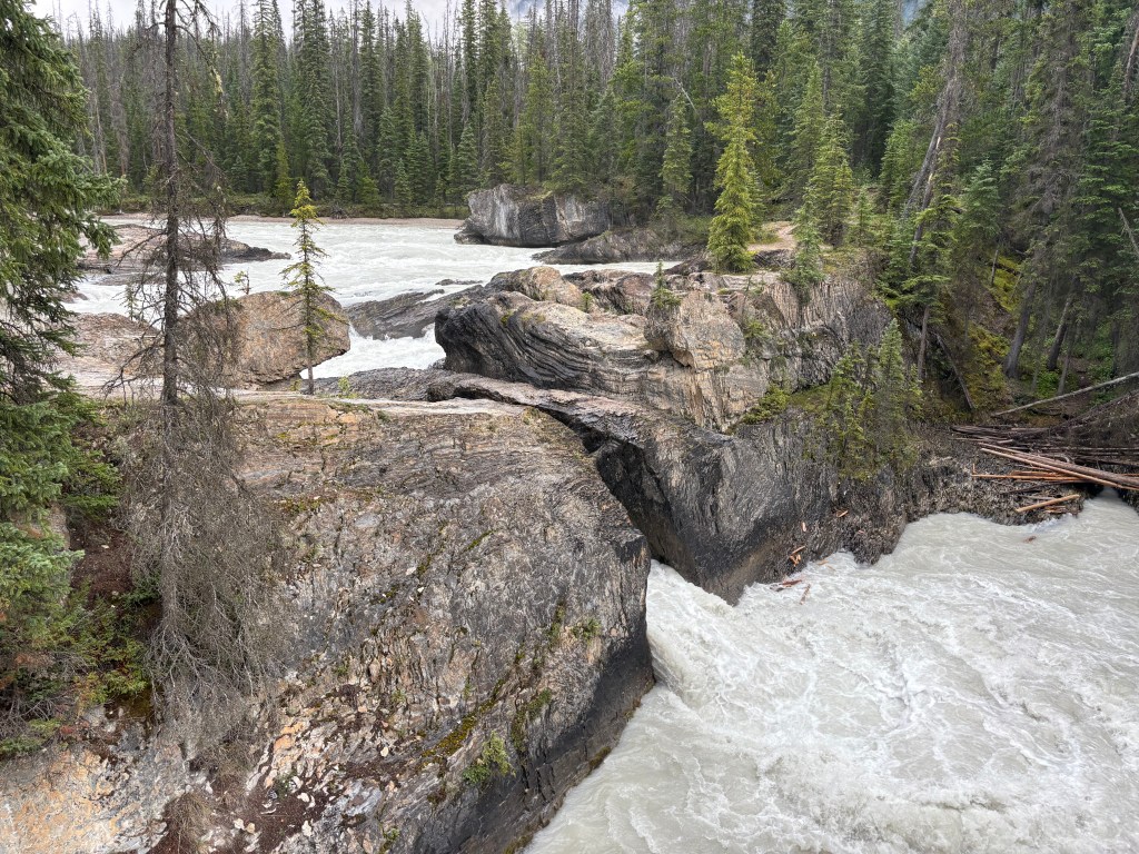
When I got to the bottom I stopped at Natural Bridge.