September 12, 2025
Today I will drive part way to Alaska along the Alaska Highway. Years ago it was called the Alcan Highway but these days most people, including mapmakers, appear to just call it the Alaska Highway. The road starts in Dawson Creek, British Columbia and ends in Delta Junction, Alaska, a total distance of 1,422 miles when it was originally built. I drove through Dawson Creek on my way to Grande Prairie just a few days ago but didn’t know at that time that it was where the Alaska Highway starts. I will be driving through Delta Junction during my stay in Alaska.
Before I got started, I drove back in to Watson Lake (about 20 miles east of my Airbnb) to top off my gas tank. I saw something there when I drove in for dinner last night that I think you’ll agree is blogworthy. Sign Post Forest.
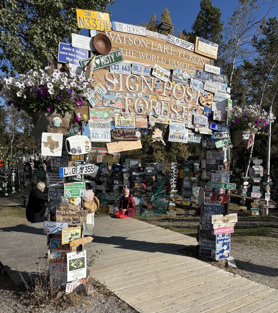
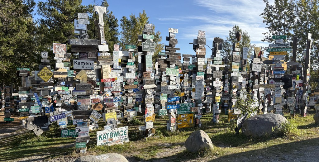
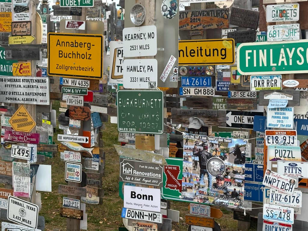
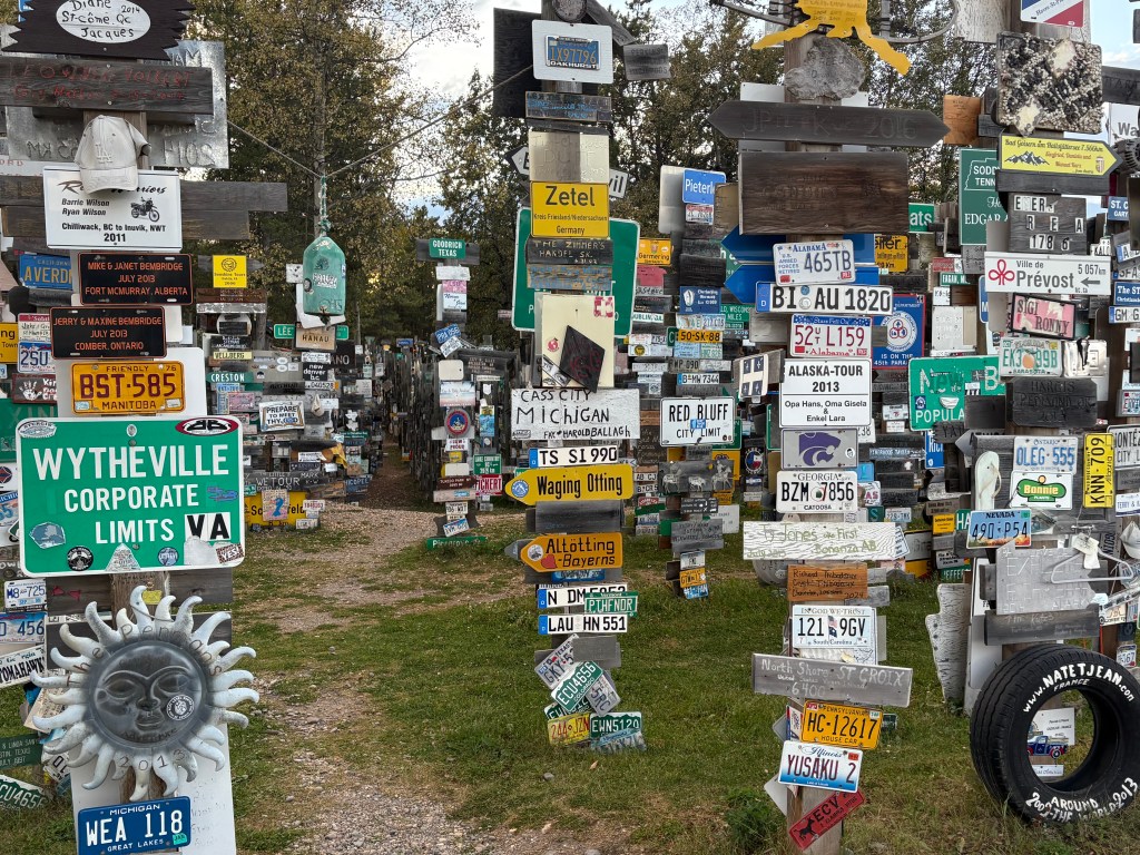
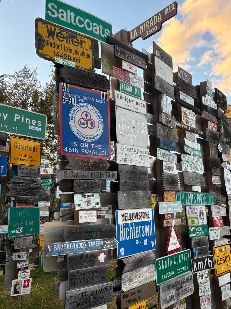
This attraction was started in 1942 by a person in the US military who was convalescing in Watson Lake. He was from Danville, Illinois and erected a wooden stake with a sign from his hometown. It has been added to over the years and according to a sign in the Visitor Centre here there were over 120,000 signs here in September 2024!
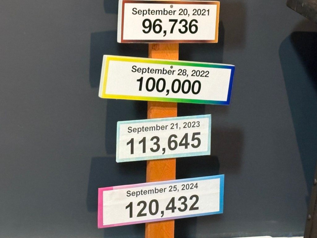
I’m sure that number has increased since then (I don’t know how they can keep track), and I’ve also learned that a sister site has been started in Danville, IL.
Also in the Visitor Centre was the original Danville, IL sign which had been erected in 1942.
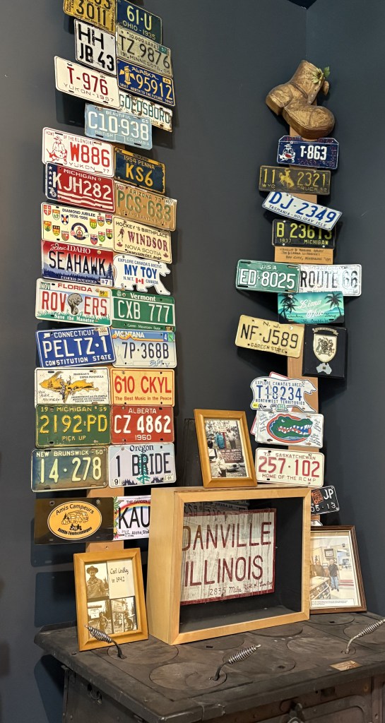
If you look closely at the photo above you will see two license plates from the Northwest Territories province. Rather than being rectangular they are shaped like a polar bear! I have only seen one on a vehicle in person and wasn’t prepared to take a photo of it. I was hoping to see another but never did. I didn’t realize there were some in the photo until I just now posted it, or I would have taken a closer photo of them.
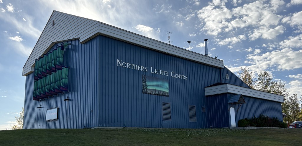
The Northern Lights Centre is also here in Watson Lake, and inside is where I found the local Visitor Centre. The people there were very helpful in giving me more maps and information about my drive across the province.
I had remarked to some friends after I had driven into town for dinner last night that if all of the Alaska Highway was like this 20-mile portion, then I had nothing to worry about. Well, I will say that the majority of what I would end up driving on today was actually in very good shape. With all the cold weather this far north, there were places where the highway department had to fill potholes or patch places where the road had heaved due to frost, but it wouldn’t start going downhill in quality until after I got past Whitehorse.
Here are some of the things I saw as I drove the 258 miles to Whitehorse, the capital of the Yukon Territory province. Google maps indicated it should take about 4 1/2 hours.
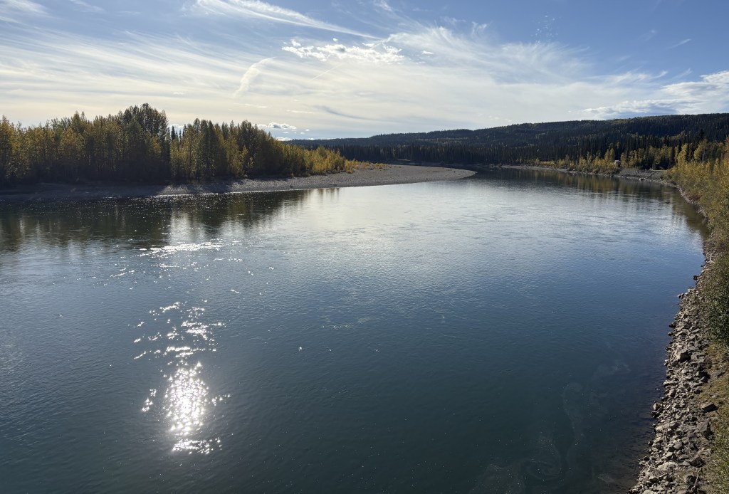

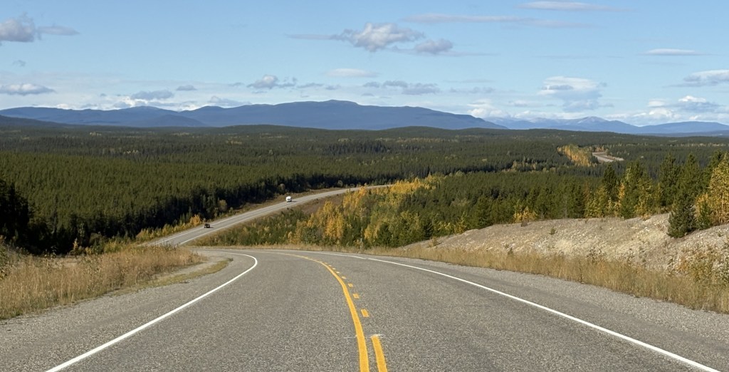
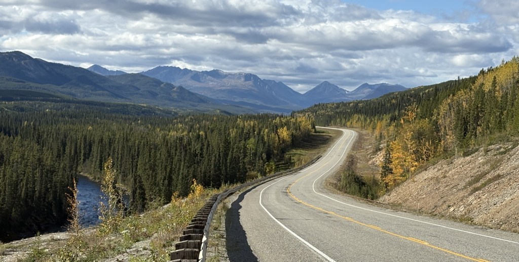
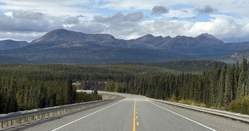
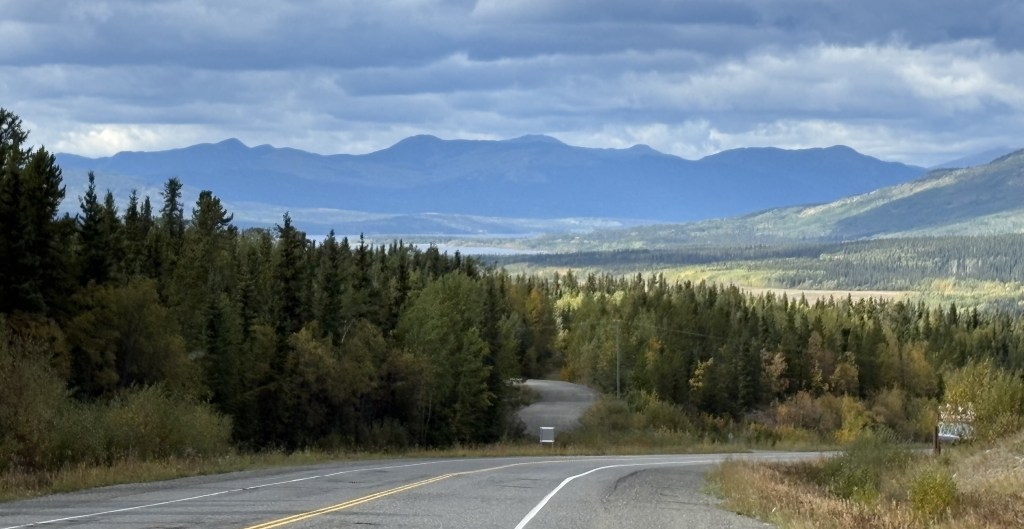
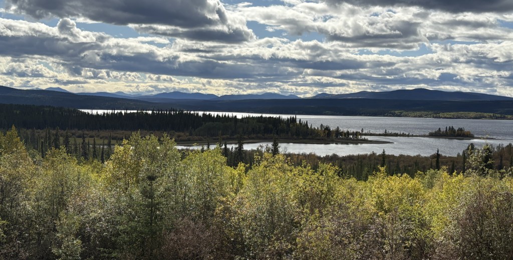
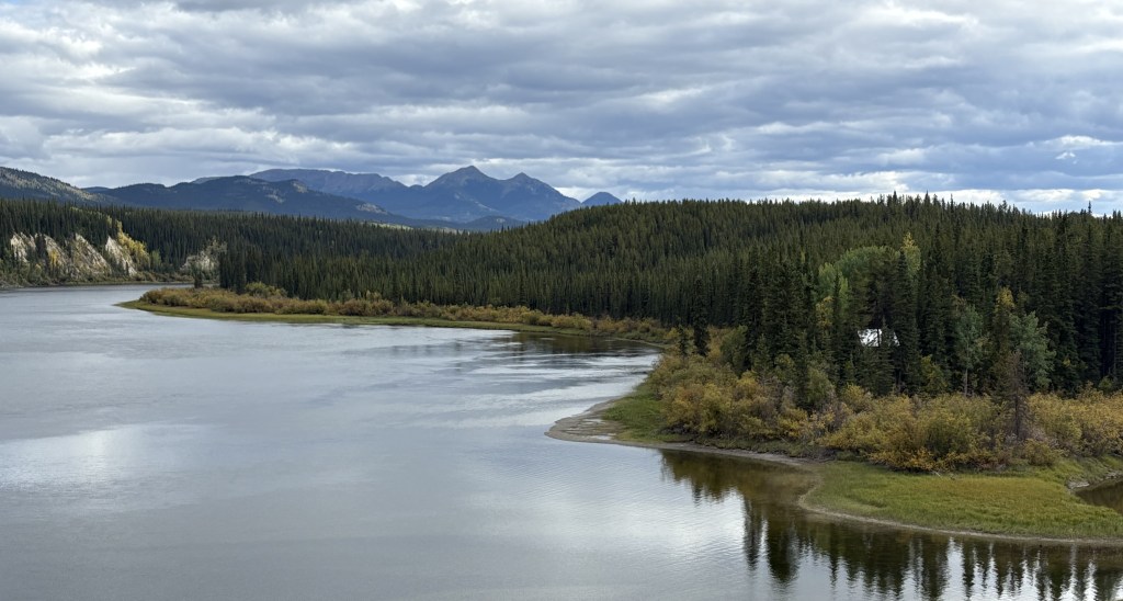
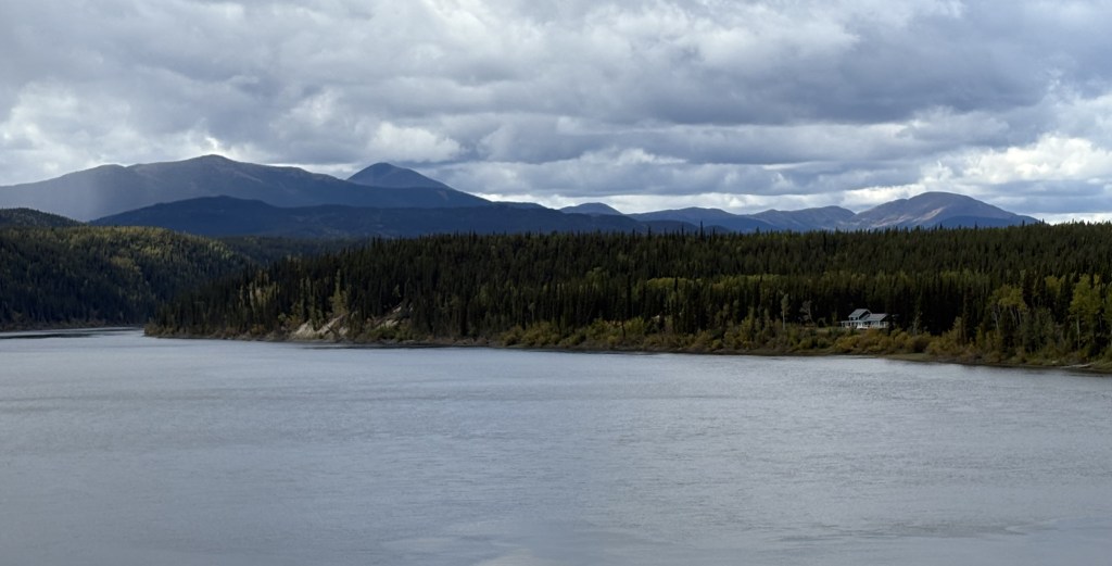


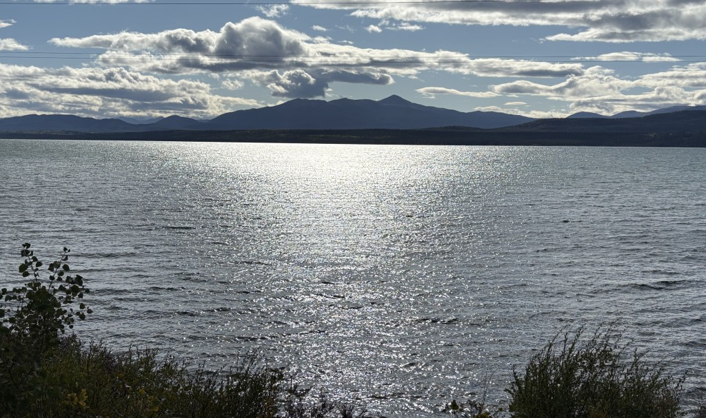
As you might expect – highway, mountains and bodies of water. Not too many towns along the way, but it was wide open road and didn’t feel quite as isolated as Highway 37 was driving north through British Columbia. I didn’t see a single animal in or near the road.
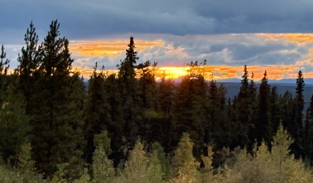
And I meant to include this photo as the final item in my previous post about yesterday’s drive. I had started the day seeing the sun rise in the morning and as I drove back to my Airbnb from dinner I also saw the sun set.
I will only be spending one night in Whitehorse tonight but will stop there again for two nights on by way back to British Columbia. I still have two more weeks to spend in Canada before returning to the lower 48 but I interrupted my original plan to head to Alaska because people kept telling me I’d better get up there so I could get out before the snow started in earnest.
It was a good idea.
