September 13, 2025
This post documents the second segment of today’s drive.
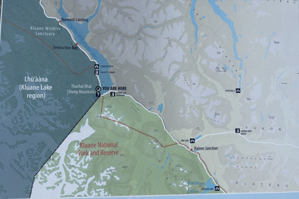
My destination for this segment is the “You Are Here” spot on the left side of the map.
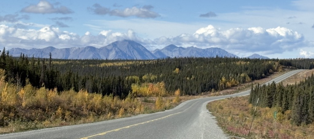
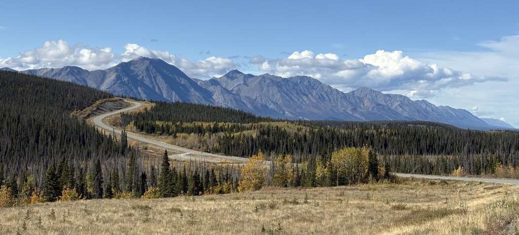
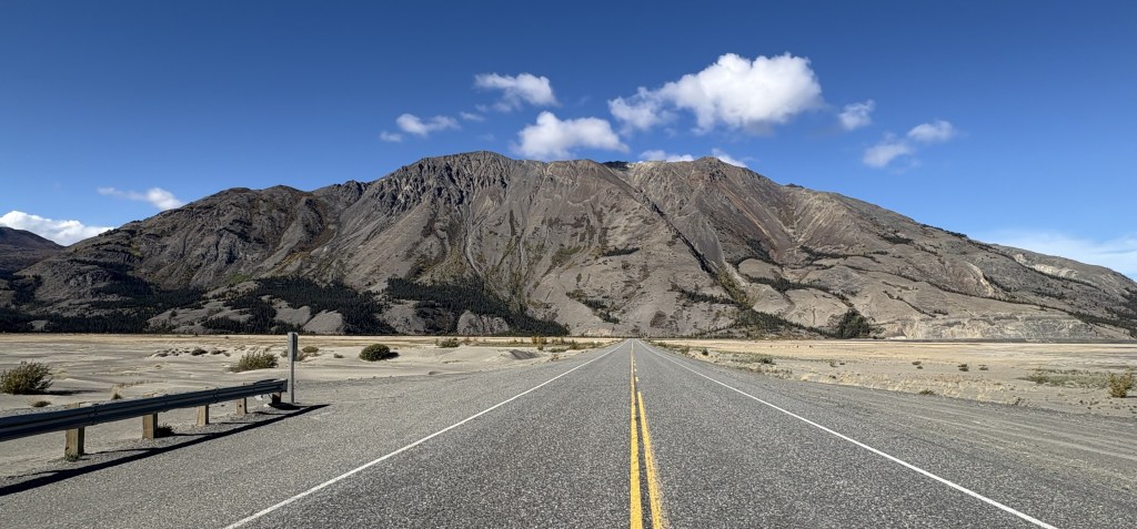
I was seeing lots of BIG mountains ahead of me (in Kluane National Park and Reserve) but after Haines Junction the road turns towards the northwest so I would drive along side, or around, the mountains rather than over them. You can’t always tell from a map, but I have learned that as I approach a sizeable mountain which I will go over (often through a named “pass”) there will be signs for a “Chain Up” area just off the road where vehicles may stop to put chains on their tires. Modern chains may not be chains at all, but other grip- providing equipment which wraps around your tires. When you reach the top of the “pass” there is a “Brake Check” area where big trucks are required to stop to check the condition of their brakes before driving downhill. The required chains may also be removed there, or at the bottom of the hill (I would personally prefer the latter of those two choices).
Now, here are the mountains I saw as I drove this section of the Alaska Highway. Once again in this segment of my drive, the road was basically fine, with only a few isolated bad spots.
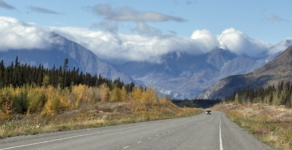
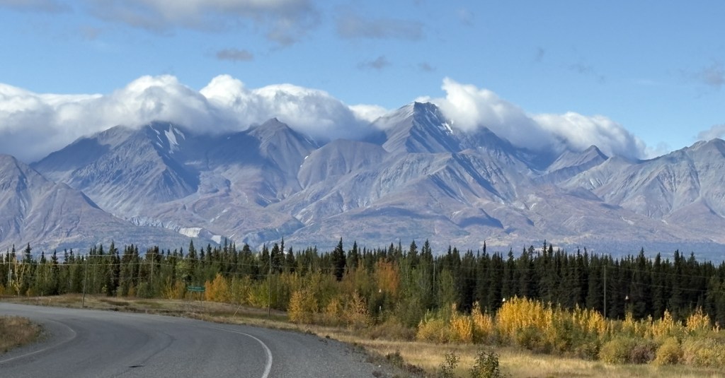
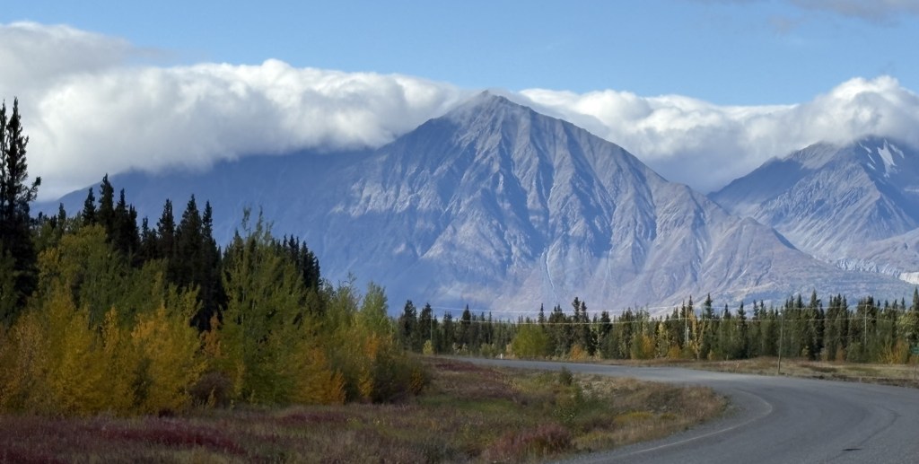
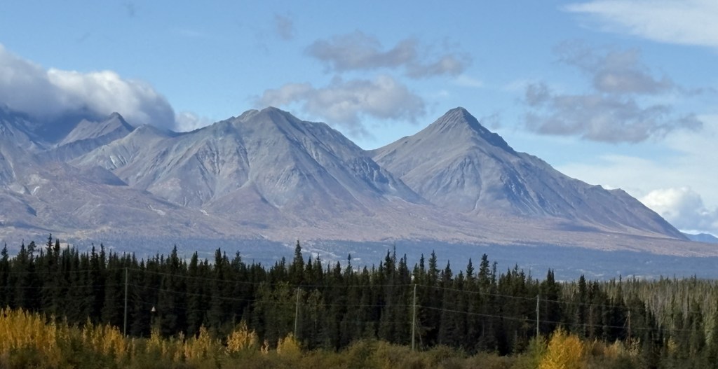
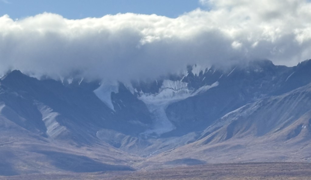
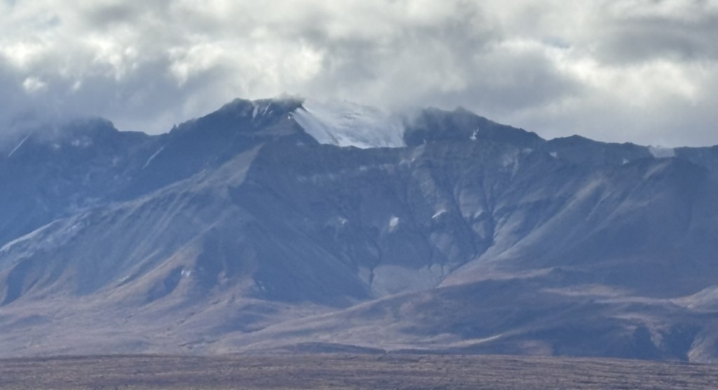
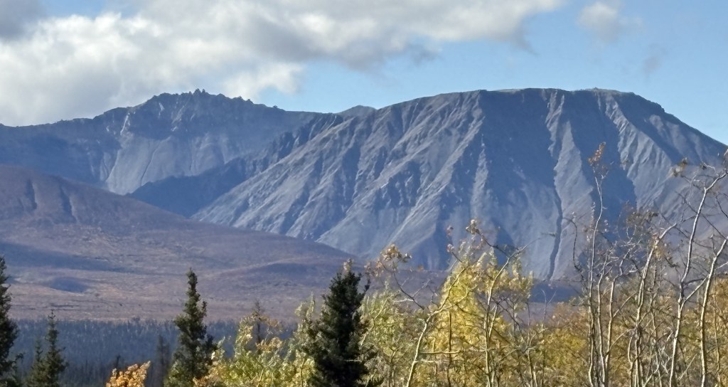
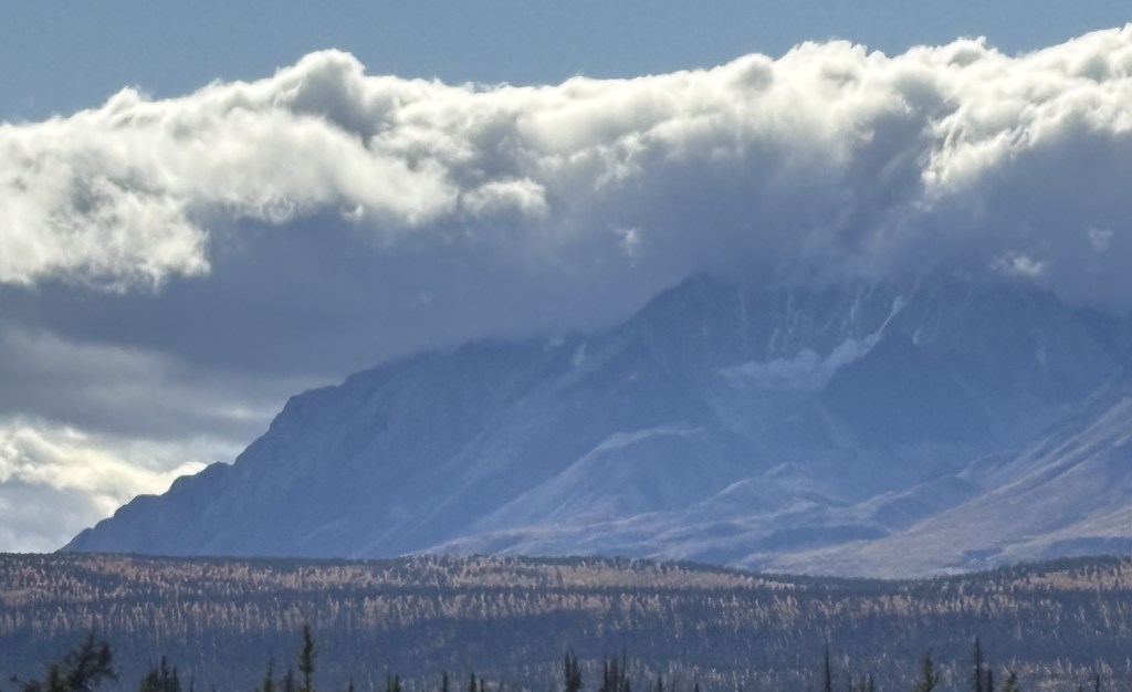
Most of the clouds in the photos above were directly above the mountains to my left. Directly above me, and to my right, it was sunny and clear, and there were breaks in clouds over the mountains in some spots.
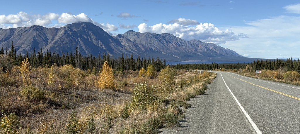
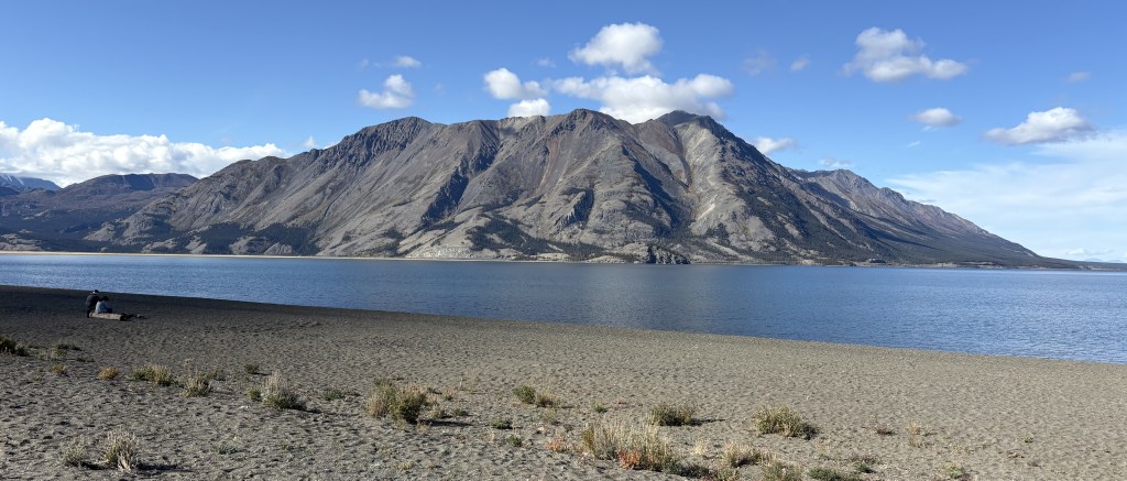
The lake shown above is the southernmost tip of Kluane Lake. The mountain on the other side is Sheep Mountain (where I would encounter warning signs for bighorn sheep, of which I saw none). The road I was on would continue to the left from this spot but then make a turn right to head straight towards the mountain.
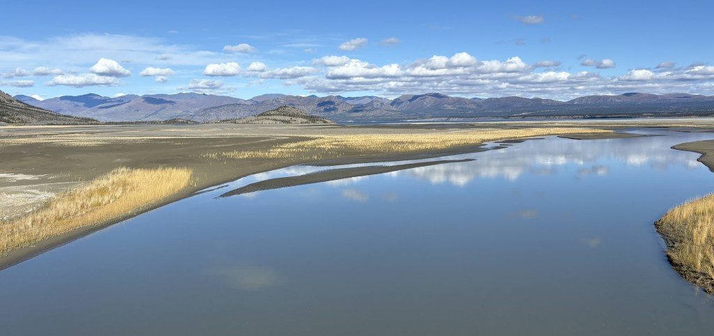
And this was the view from a bridge I drove over where the lake drains into a small river (or vice versa).
I will make the next two posts in this 4-post sequence tomorrow, which will take me to Tok, Alaska.
