September 22, 2025
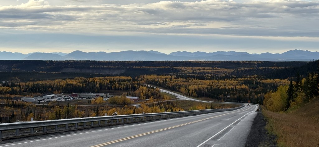
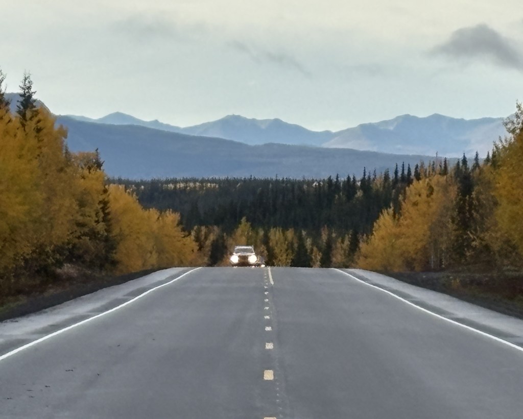
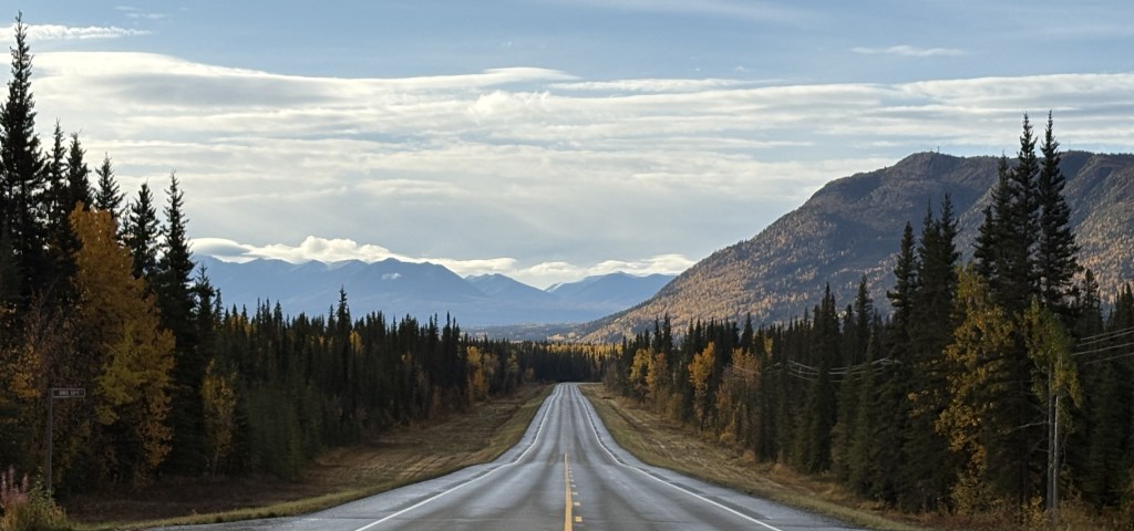
From Gakona I would go back to Hwy 4 and drive south to where it ends in Valdez. Google maps indicated it should take 2 1/2 hours to drive but that is without stops and as you will see, I stopped quite a bit to take photos.
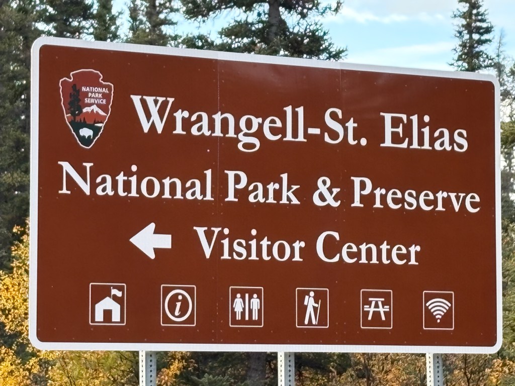
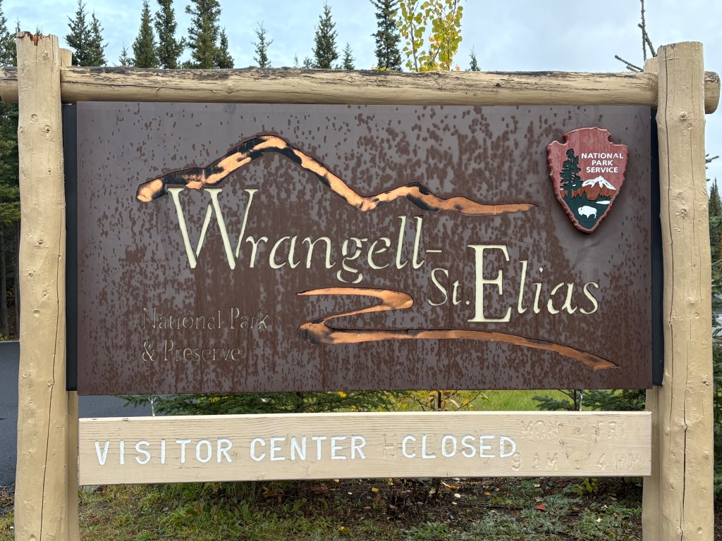
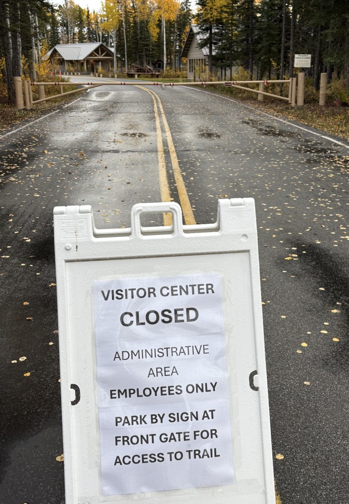
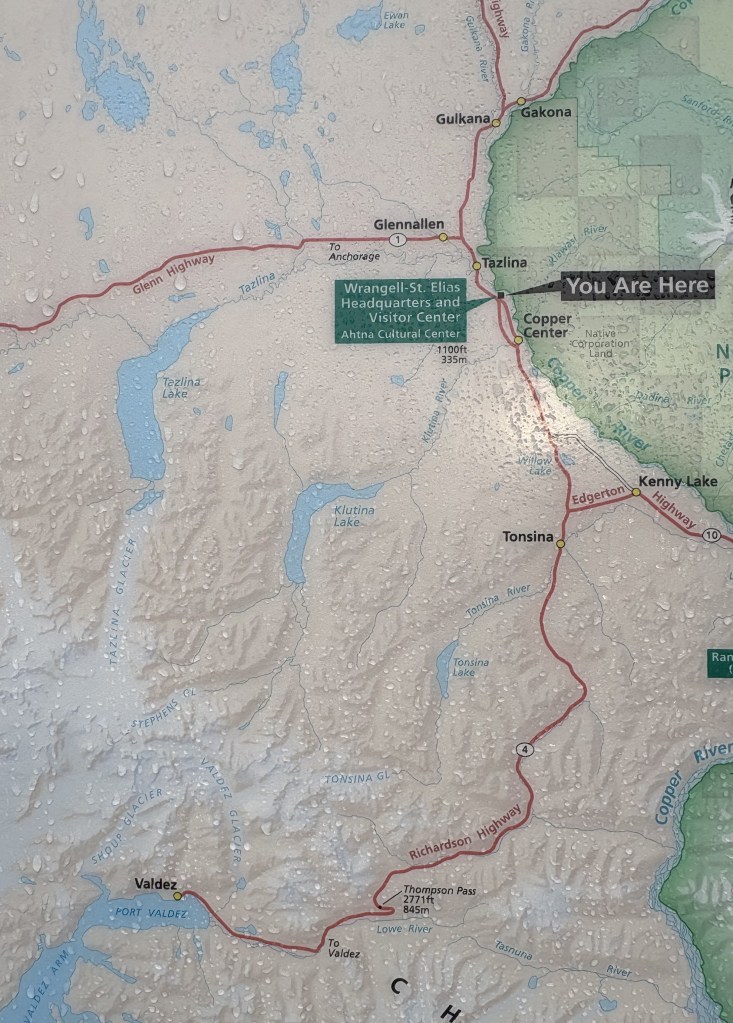
Just my luck that everything here was closed for the season. People were allowed to park outside the gate and go in the Park to hike. There was a map posted which shows where I started and where I am going.
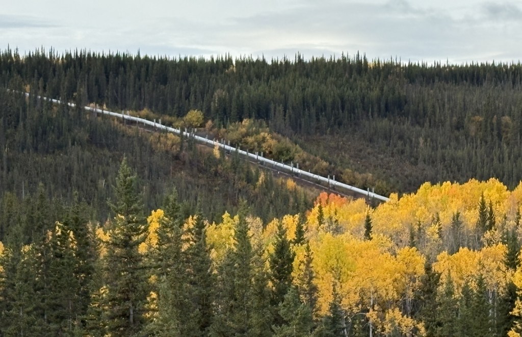
Further down the road I saw the Trans Alaska Pipeline again, on my right.
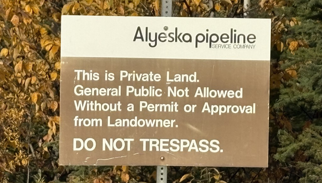
This sign was at an access road which indicated they didn’t want the general public going in to see it up close.
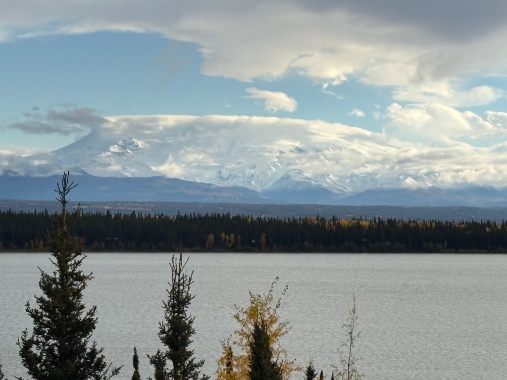
I soon came to a big lake on my left with some signs in the parking area. With their help I could identify the two large mountains on the opposite side of the lake.
This is Mount Wrangell, which rises to an elevation of 14,163 feet:
And below is Mount Blackburn, further away from this vantage point and also further south than Mount Wrangell. Mount Blackburn is 16,390 feet tall.
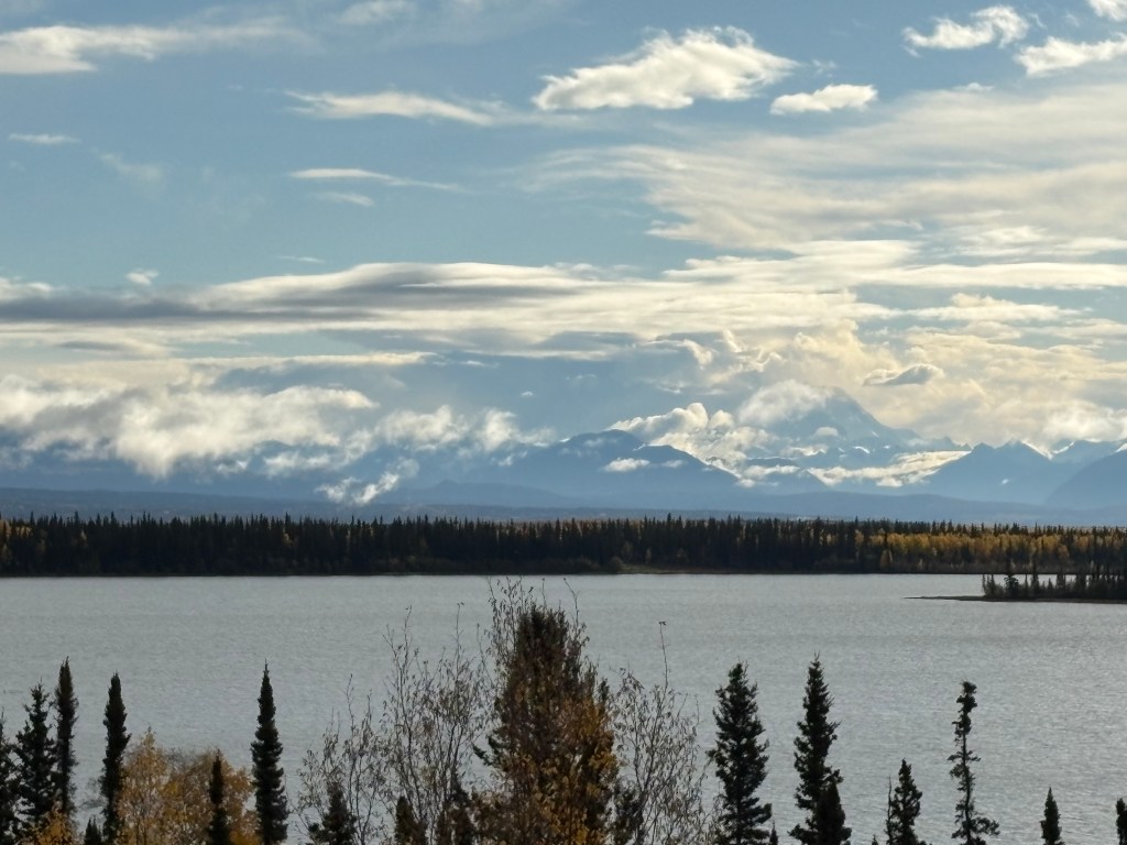
It’s underneath all those clouds but I believe I could make out the outline of it. I stopped at this lake on my way back to Gakona later in the day but the view hadn’t improved any.
(Continued in next post)
