September 3, 2025
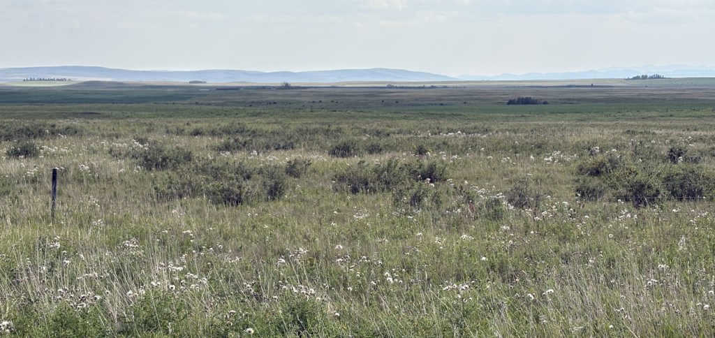
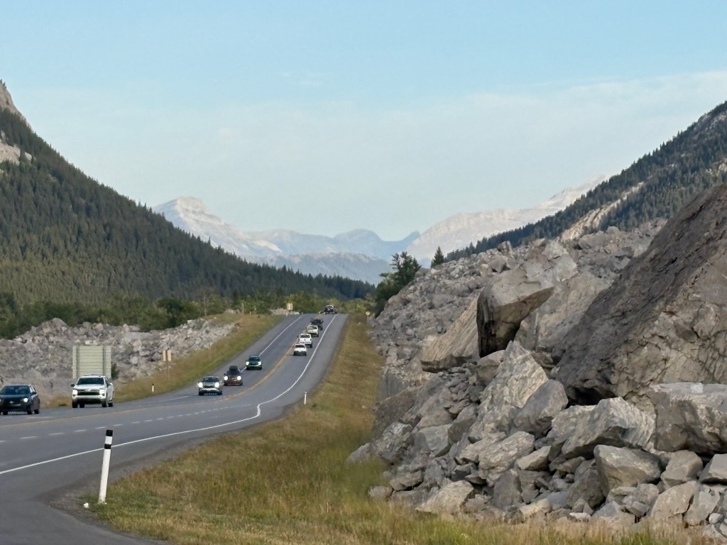
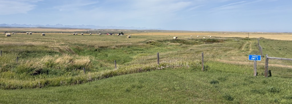
I drove north from High River, through Calgary, and took the QEII Highway up to Red Deer, which is about halfway between Calgary and Edmonton. When I modified my original schedule I decided to drop several nights in Edmonton after speaking with someone who lives there who was mystified as to why I would possibly want to go there (” Uh… we have a mall…” ) and decided to add three days in Red Deer instead. My research showed me that there were lots of scenic roads near Red Deer, including the “Cowboy Trail” to the west and the “Dinosaur Trail” to the east.
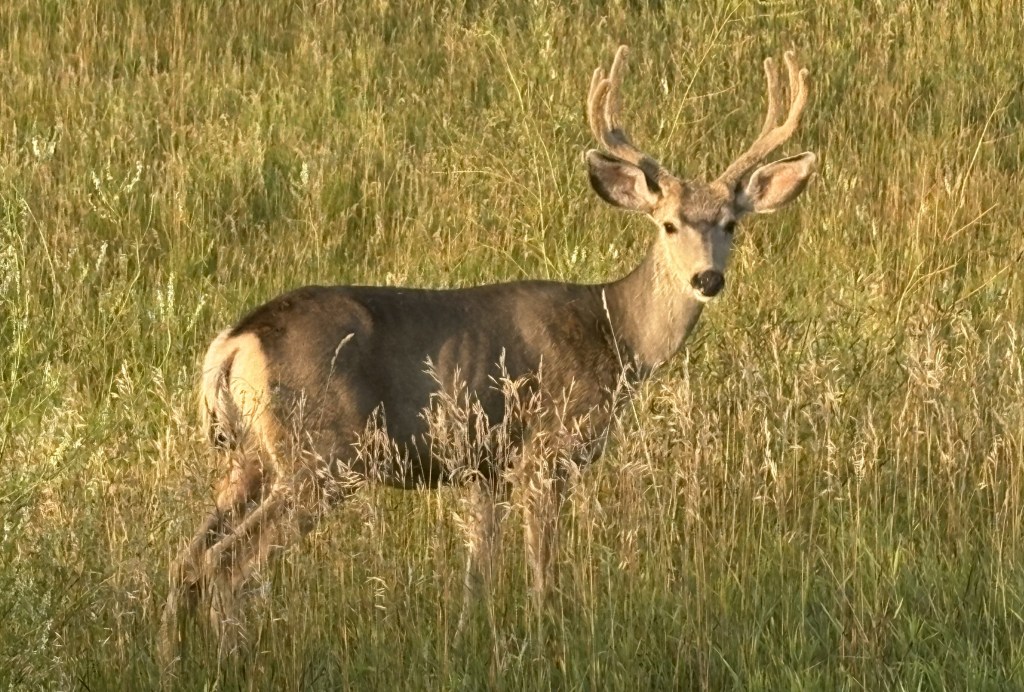
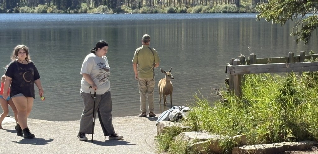
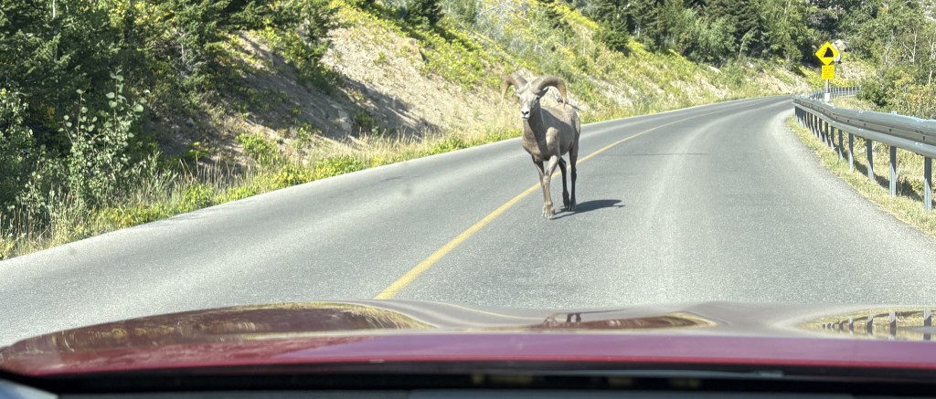
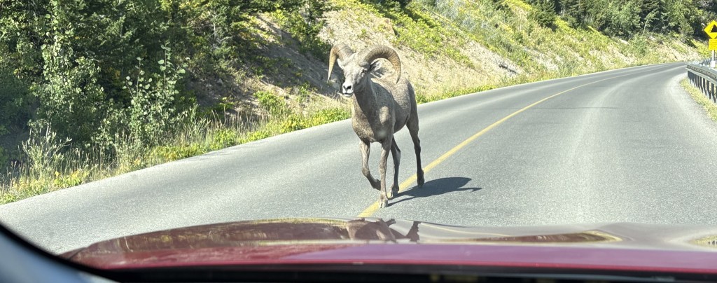
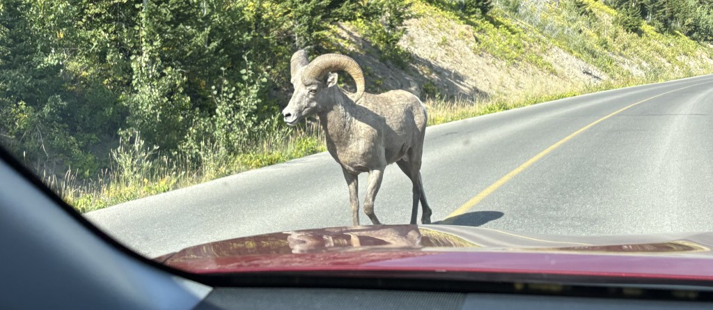
I saw this young buck just off the two lane road I was on as I started to drive the 2 hours it would take me to get to Red Deer..
Well, my plans kind of fell apart as when I approached Red Deer there seemed to be a brown cloud hanging over it. I didn’t think it was big enough to have a smog problem and didn’t even think about the wildfire possibility. I drove around town for a while to get acclimated and then checked in at my Airbnb. I mentioned the “cloud” to my hostess and she said she had heard there was a wildfire up near Edmonton.
I fired up my computer and learned that although there was a small wildfire near Edmonton (a little less than two hours north) it had just been detected the day before and wasn’t very big. When I checked the smoke pattern website I was shocked to learn that what I was experiencing was coming from a large wildfire in the Northwest Territories province, a thousand miles to the north!!
I went out to get something to eat and returned to my Airbnb. By the next day the air quality in Red Deer had changed to unhealthy, and my throat was a little sore from having been outside the day before, so I just stayed put for the day. The next morning I evaluated my options online and decided it should be ok to go back south and east towards the town of Drumheller.
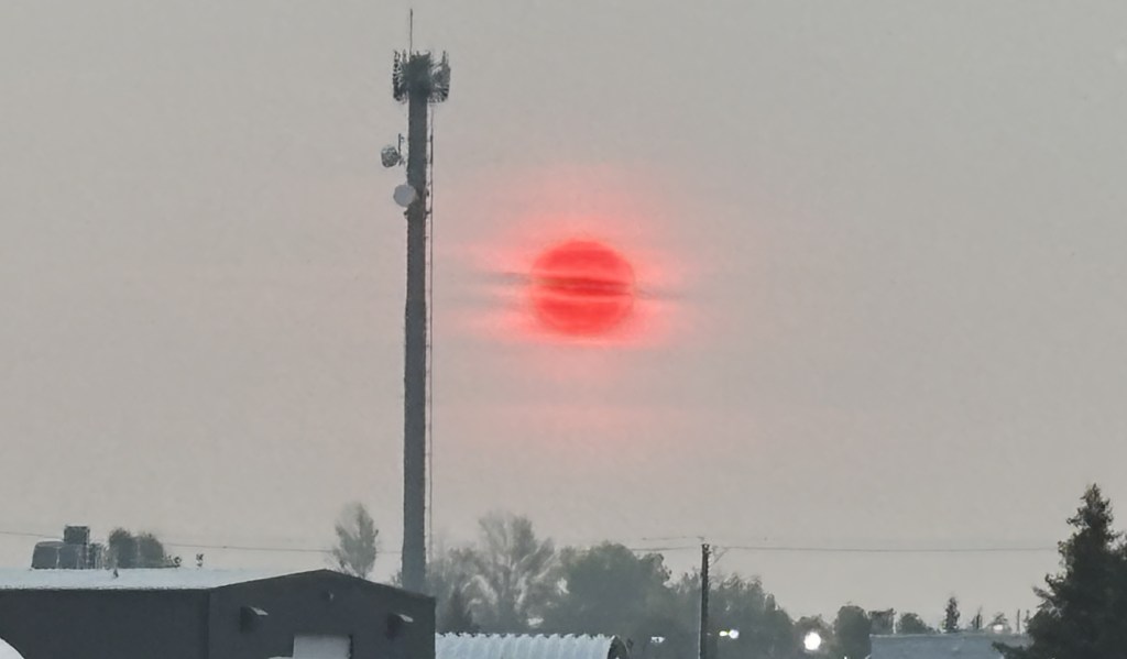
When I started out early in the morning this was the sunrise as seen through the smoke:
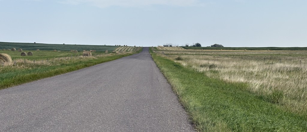
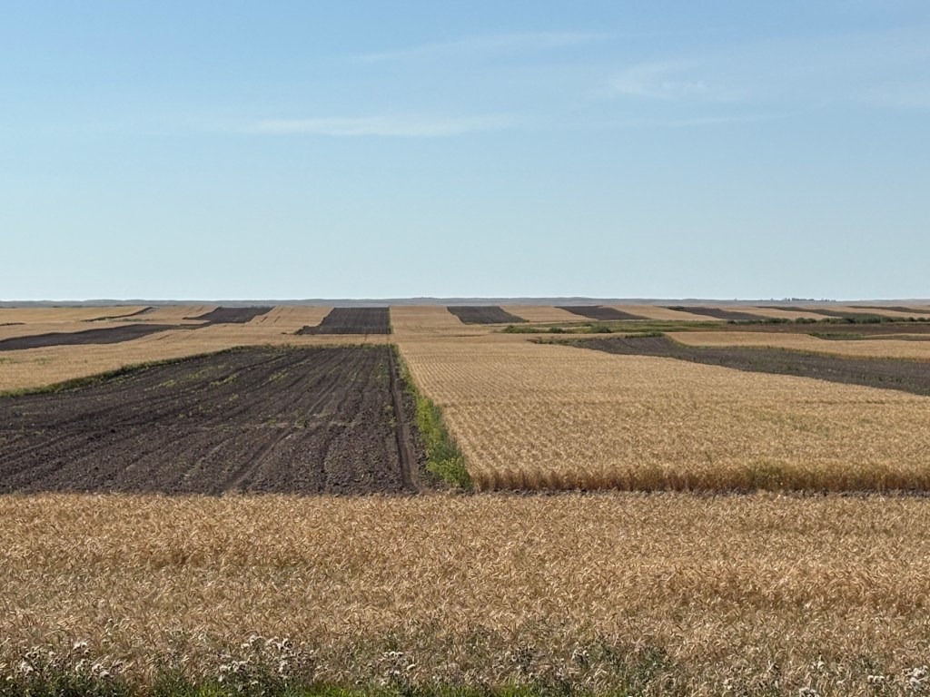
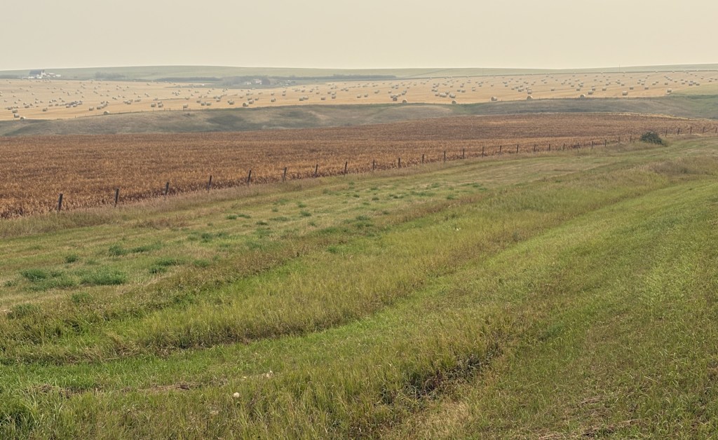
I took the QEII south to try and get away from the smoke, then headed east on a series of smaller two-lane roads through farmland. At the lower speeds it would take almost two hours each way.
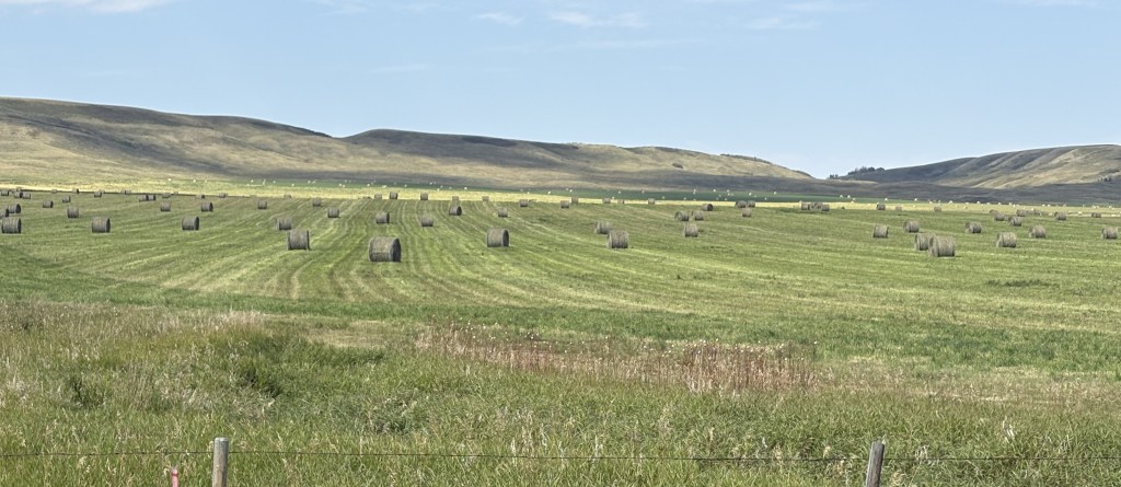
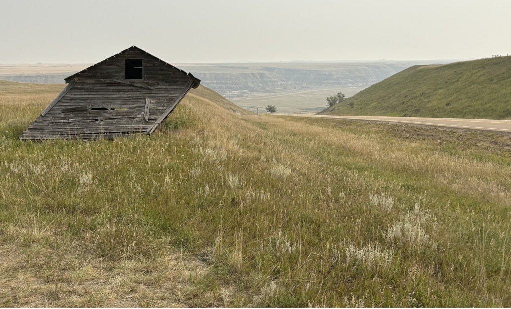
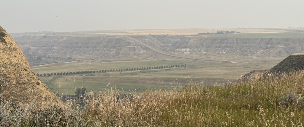
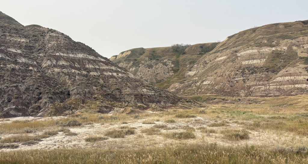
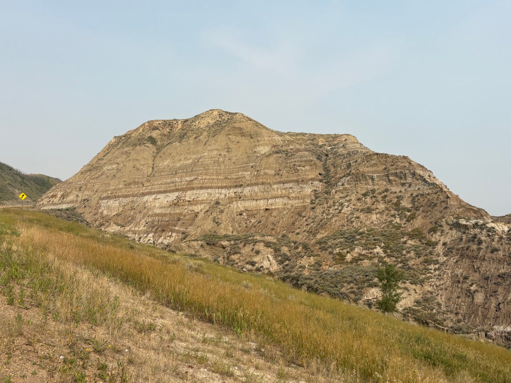
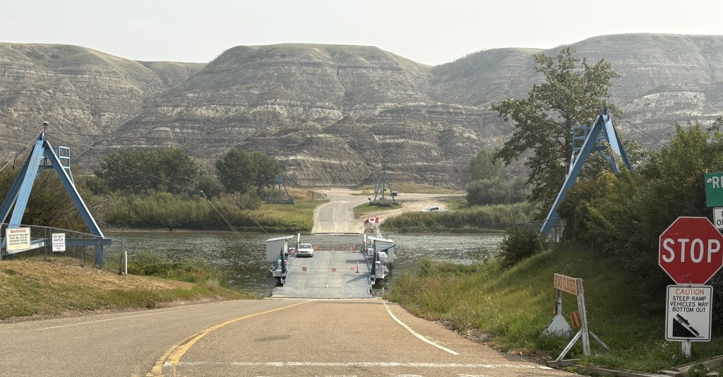
Once I got closer to Drumheller I would drop down into Horsethief Canyon near the Red Deer River.
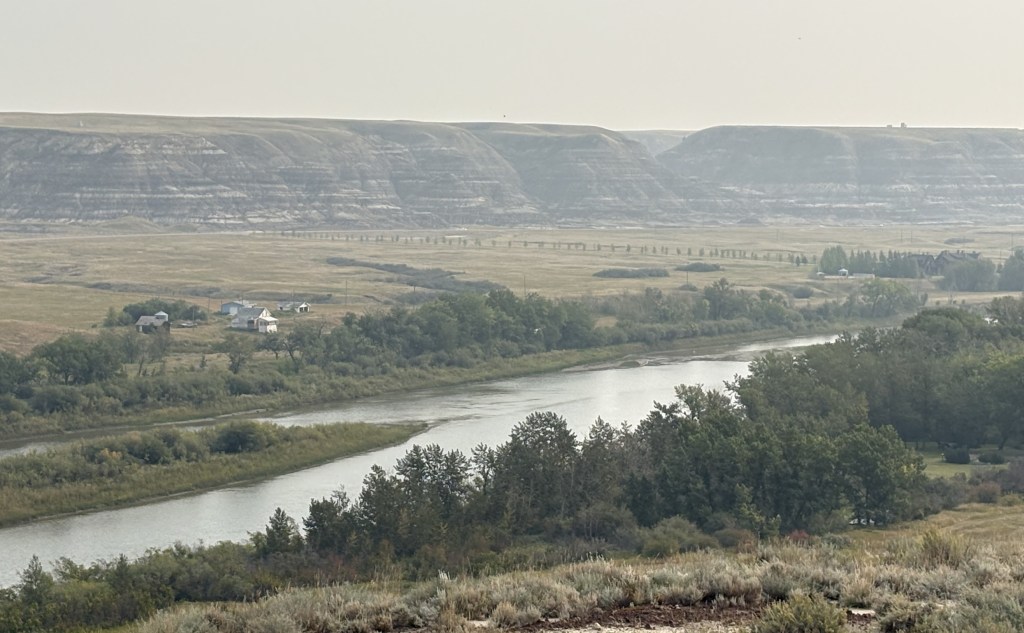
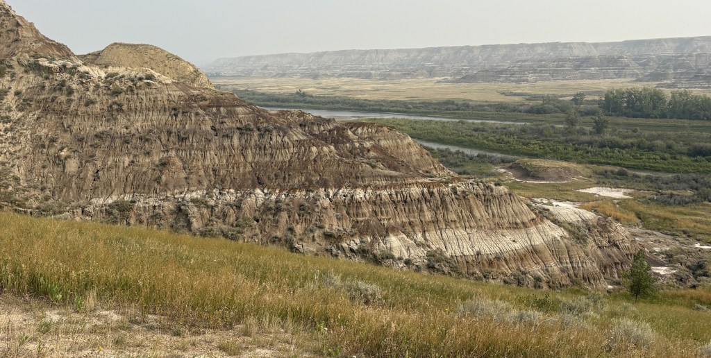
This is the small Bleriot ferry which can transport up to 13 cars at a time the short distance across the river, which isn’t very wide at this location. I would traverse it later in the day and it only took about two minutes.
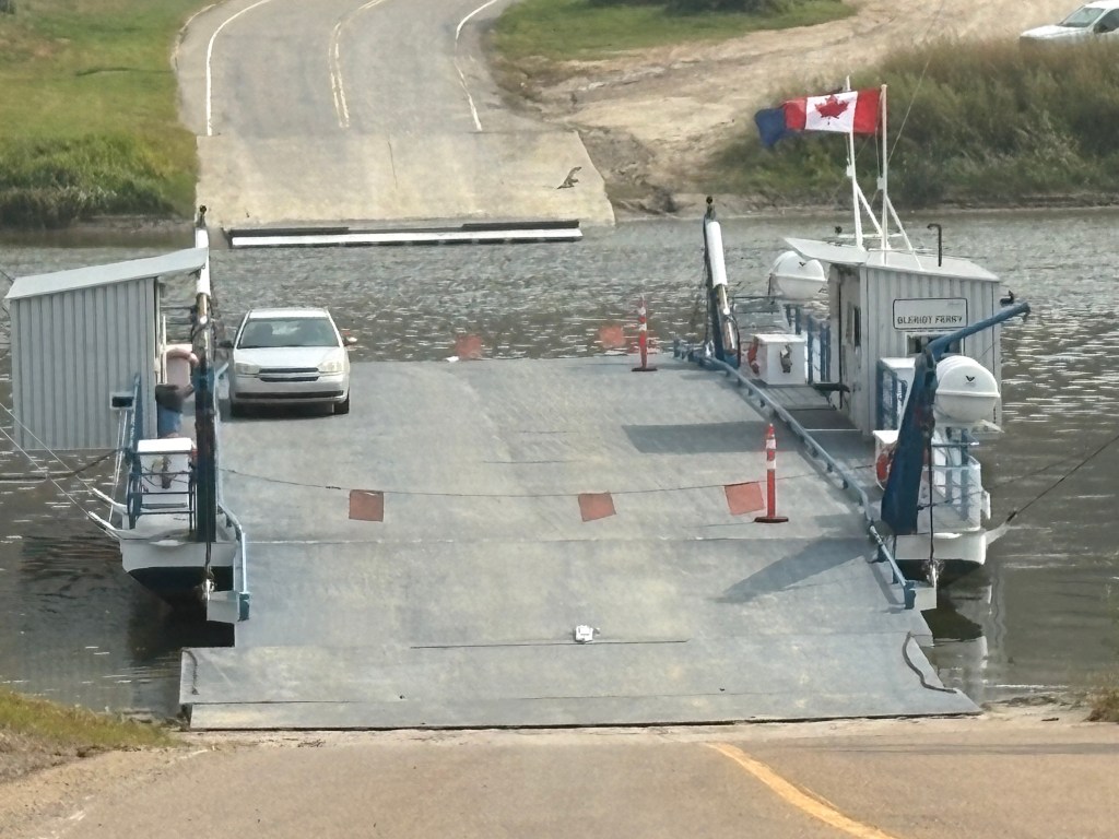
Not quite the shortest ferry ride I have been on (it was on a 3-vehicle ferry in Kentucky) but interesting nonetheless.
I finally arrived in Drumheller.
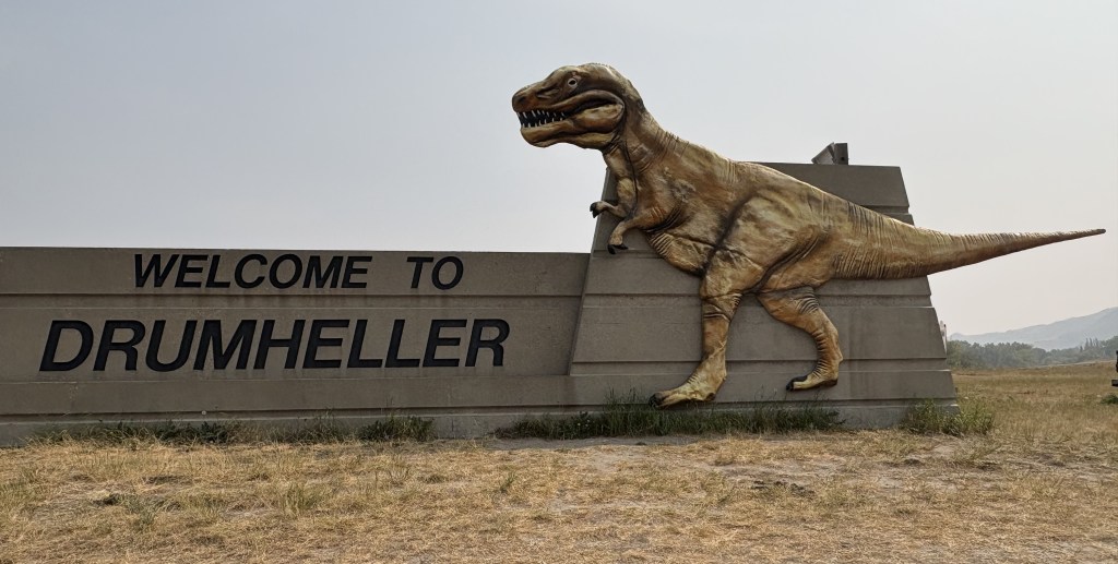

If you are so inclined you may take the stairs all the way up and look out of the T-Rex’s mouth. I was not so inclined.
There were several “dinosaur” sites around the area but after checking in at the Visitor Centre I learned that there was generally a good bit of hiking involved and so I decided to pass on it. I was hoping to get some photo ops from the road but the staff didn’t think that would work out too well.
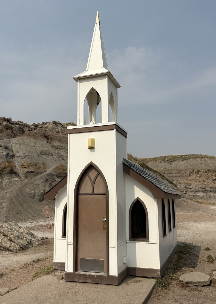
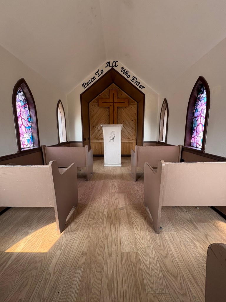
Before leaving Drumheller I did find this tiny little church which only has room for 6 parishioners: