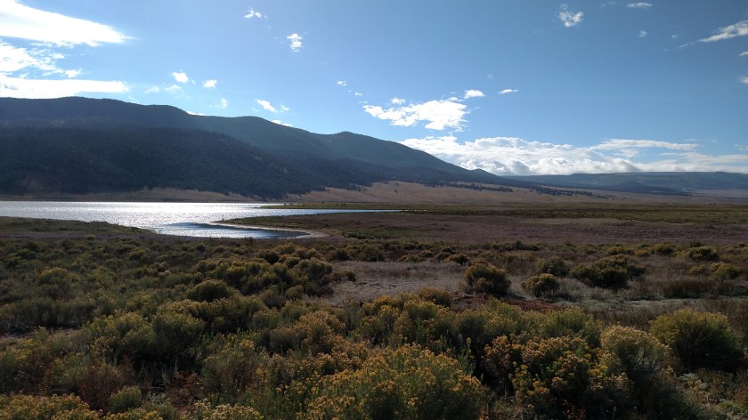
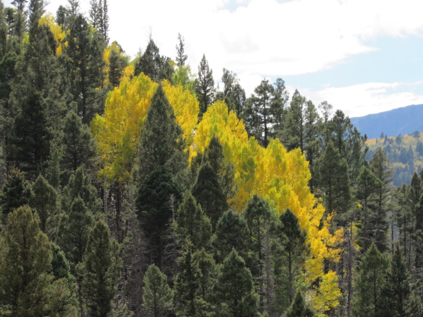
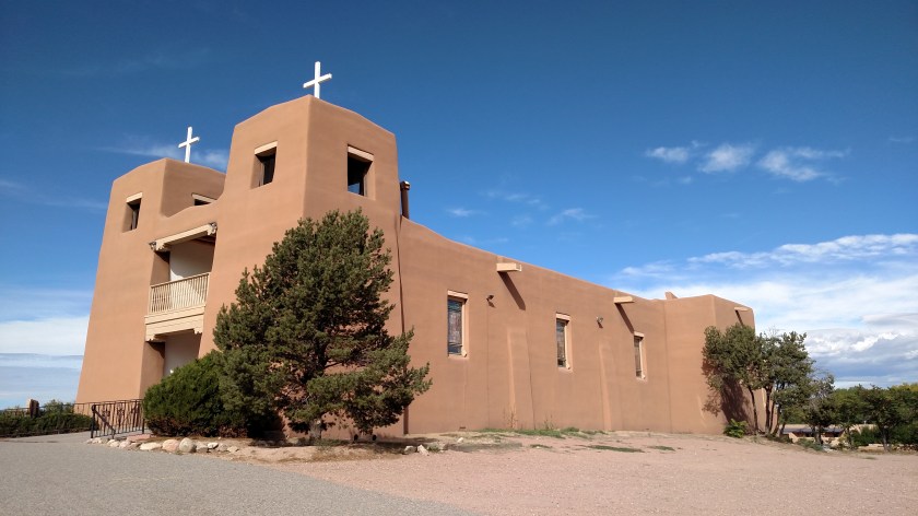
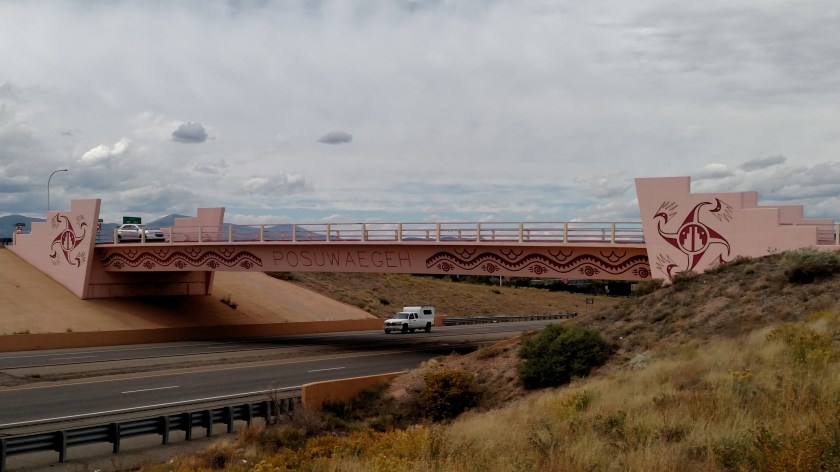
This was my big surprise of the day. As I approached the eastern end of my scenic drive, about 85 miles east of Taos near the town of Raton, NM, I saw the entrance for this facility.

I drove down the flag-lined entrance road (flags representing each of the 50 states)

Once inside the Visitor Center I was soon greeted by a young man named Greg. He told me about the facility and told me I was free to look around and take pictures. He said to be sure to go through the museum.
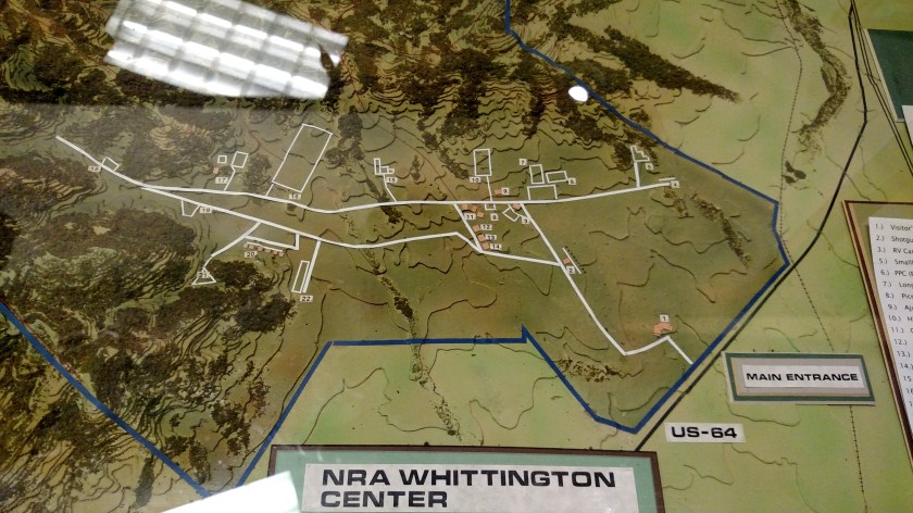
The Whittington Center, named for a former president of the National Rifle Association (NRA), is a non-profit enterprise and is not actually owned or operated by the NRA. They get their funds from donations, membership fees, facility entry fees (I could have paid to go out on the shooting range) and contest fees. This 30,000+ acre facility is the largest of it’s kind in the United States. They have over 15 shooting ranges (the largest over 2 miles long!), as well as cabins, an RV park, primitive campsites, a cafeteria, and lots of other buildings. They host numerous competitions throughout the year and have professionals on staff who train people (average folks as well as law enforcement officers) in the safe and proper use of firearms, as well as defense tactics and precision shooting skills. They also have organized “hunts” on the property.
Greg rattled off all kinds of various firearm types as well as the numerous competitions for specific skills. I’m not very knowledgeable about such things but it was fascinating to listen to and he is obviously very passionate about it.
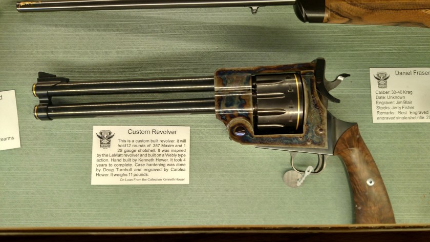
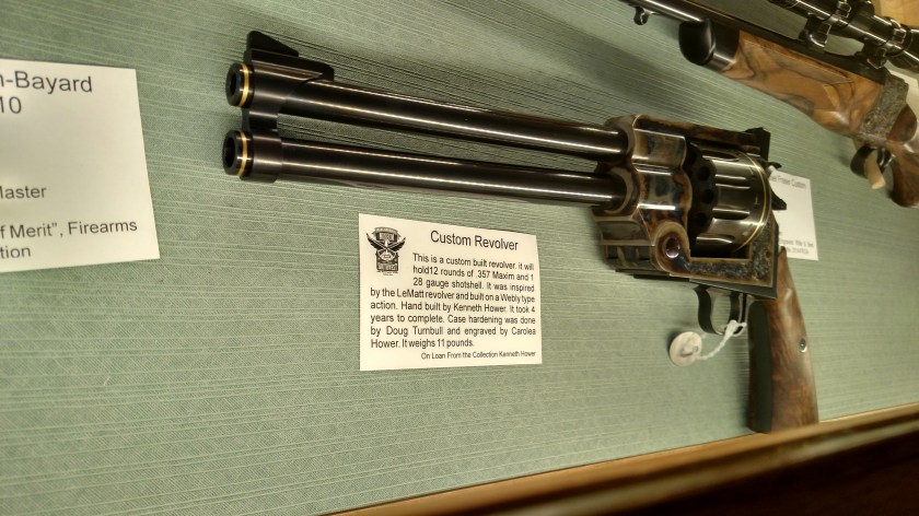
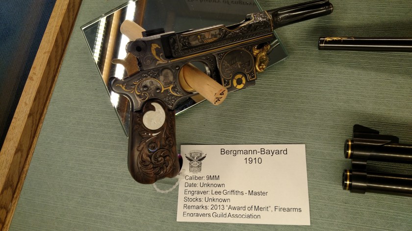
Following Greg’s advice I went through the museum. Again, not being a gun person myself it was kind of lost on me but I’m sure an enthusiast would get a lot more out of it.
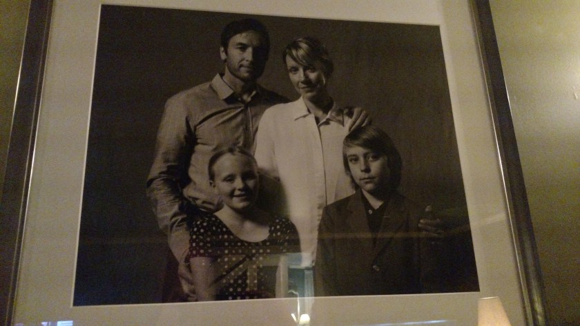
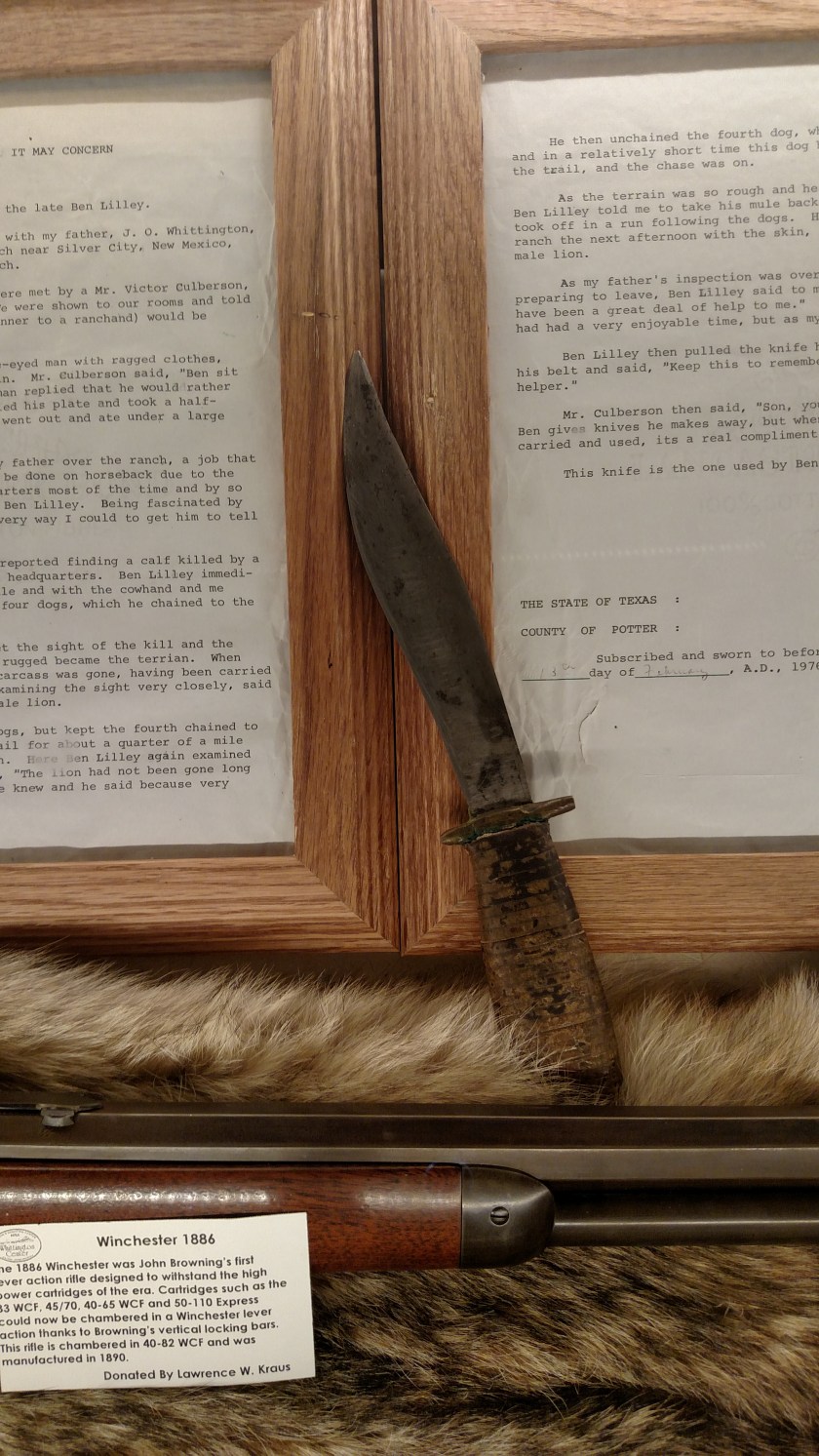
And it’s not all about guns. This knife has an affadavit behind it which explains it’s significance. It was given to the gentleman for which this facility is named by a legendary “Mountain Man” named Ben Lilley, one of the last of his kind.
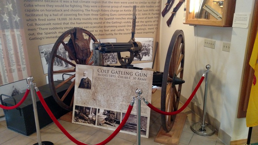
There were two other guys walking through the museum and I asked them if they were allowed to bring one thing home with them, what would it be? After a second or two of thought they both said “the Gatling Gun”. I didn’t want to show my ignorance by not knowing what that was but tracked Greg down and asked him. He said “well, they’d have trouble getting it out the front doors…”. This is the Gatling Gun:
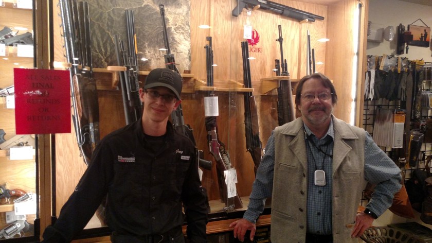
Here is Greg (on the left) and his co-worker Bryan. Greg only took up shooting about a year ago. Bryan likes to “bench shoot,” which is trying to put multiple bullets through the first bullet hole he makes in a target. He does this with the target at 100, 200 and 300 yards away (that’s 1, 2 and 3 football fields, folks…). I want these guys on my team.
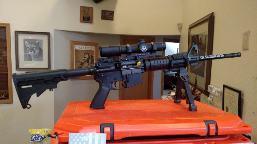
Oh, and they’re having a raffle! You could win this Ruger AR-556 with bipod, plus the Leupold Mark 6 1-6×20 scope. Given my luck with r/c helicopter raffles I should have bought tickets. I don’t know exactly what I’d do with it if I won, but living in Durham, North Carolina these days it just might come in handy. I don’t know when the drawing is but if you’re interested call Greg and I’m sure he could hook you up with tickets.