After my morning road trip towards Gold River I returned to Campbell River to speak with someone who works at the Visitor Center but who wasn’t working the day before. She used to live in Stewart, Alaska, which borders northwest British Columbia, so is very knowledgeable about the roads up that way. I initially thought I would fly to Alaska but now I am pondering the long drive up and back. I had spoken with some young people near the original Starbucks when I was in Seattle and they had just driven down from Alaska via the southern edge of the Yukon Province and then south all the way through British Columbia!
The young lady at the Visitor Center gave me some great ideas on places to stop to see some unique scenery and wildlife, making an already long drive even longer, but hey, I’ve come this far…
I am still reviewing how and when I will get to Alaska, depending largely on exactly how long I am in Canada. I just read today that authorities are keeping an eye on a possible volcanic eruption due west (not very far by Alaska standards) of Anchorage AK, perhaps triggered by the rash of recent earthquakes, so that gives me one more thing to keep track of…
After speaking with her I had lunch in town, then headed to my next stop – Mount Washington Alpine Resort ski area. My Airbnb host was working there today (he is retired but helps out at the ski area a few days a week). I thought I would surprise him by showing up at the chair lift he was operating. I stopped for gas in Courtenay, then headed for the mountain.
Mt Washington Alpine Resort has year-round activities and there were a fair number of people up there. I chatted briefly with my host but he was working so I let him get back to it. I wandered around and took some photos, then headed back to Campbell River as I would have an even longer driving day tomorrow before taking a ferry from Nanaimo to Vancouver the day after.
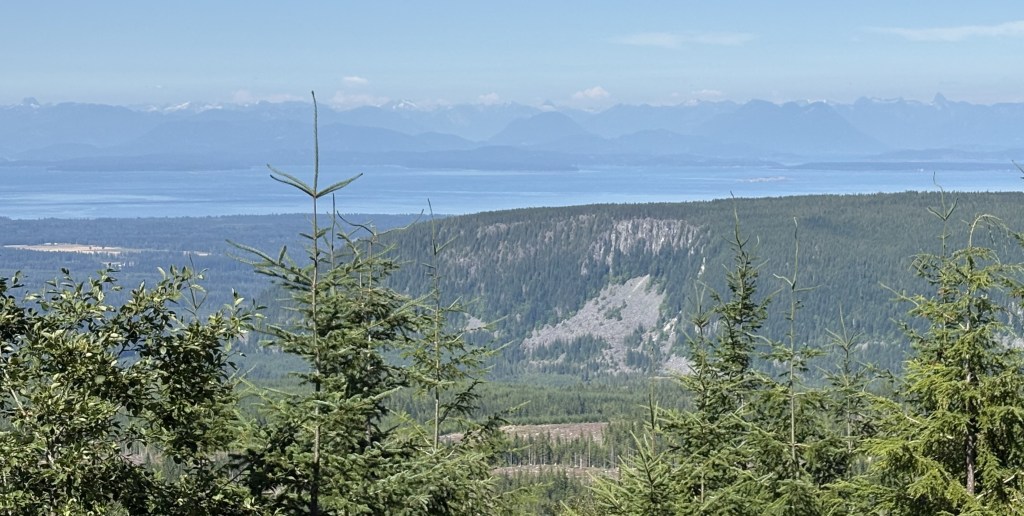
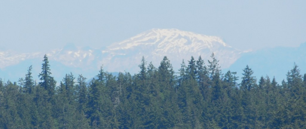
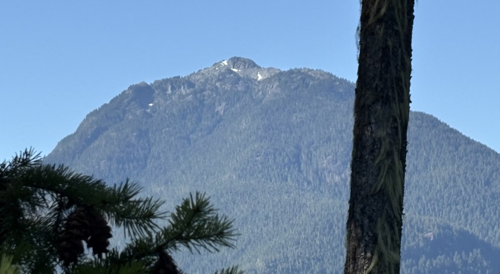
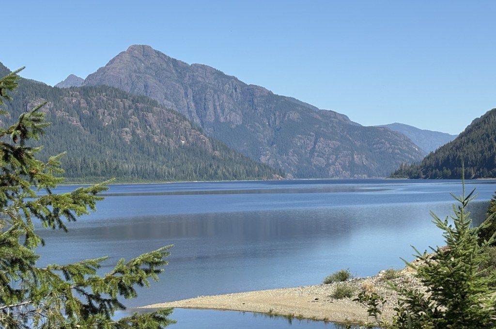
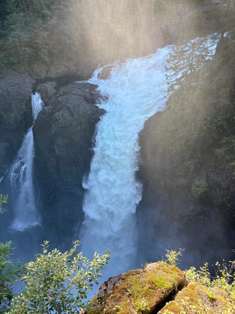
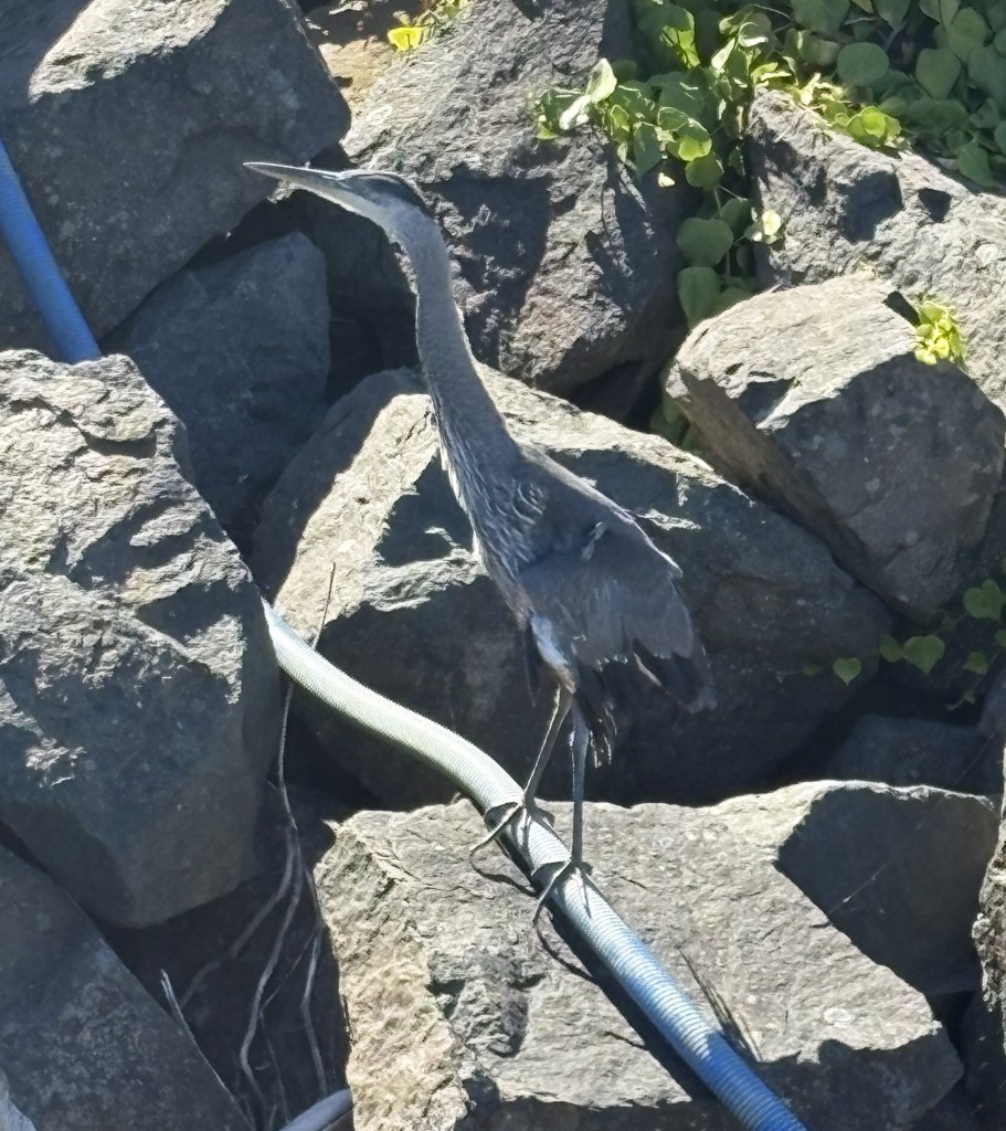
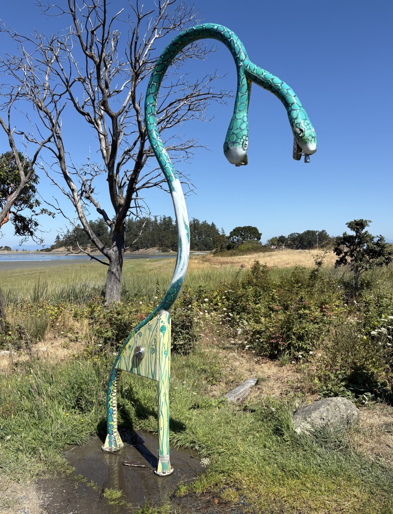
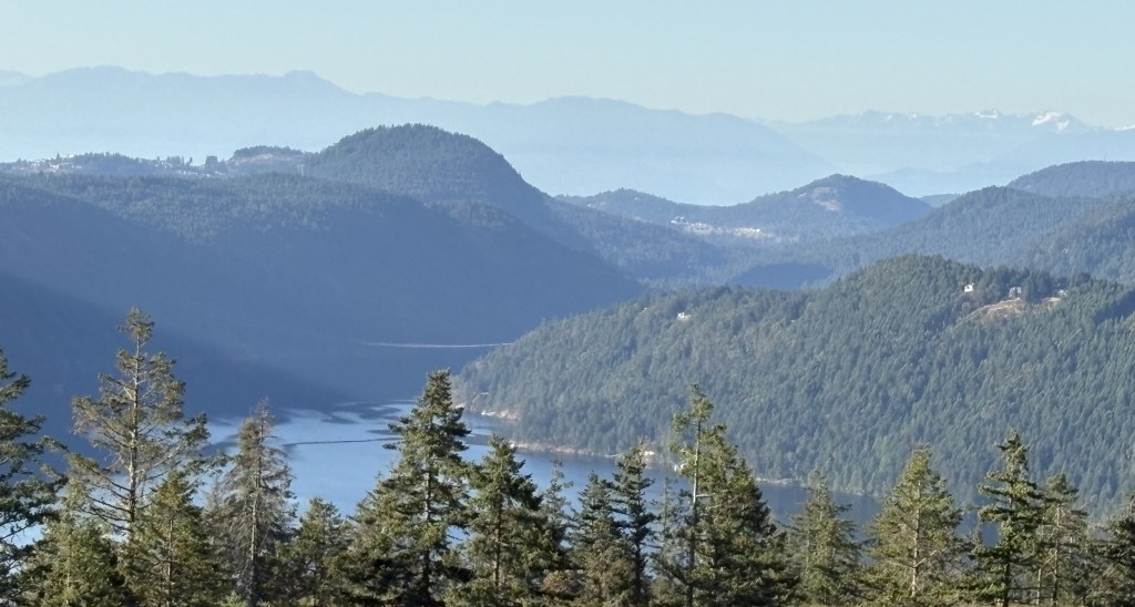
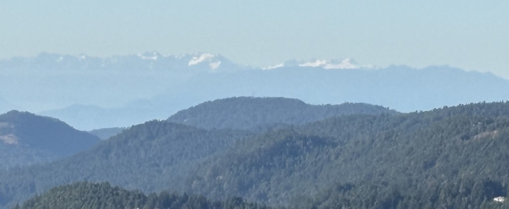
Here are some of the things I saw up on Mt. Washington. The base elevation there is 3,558 feet so there were some pretty good views looking back towards Discovery Passage near Campbell River, and south towards Nanaimo. They get an average of 38 feet of snow each winter, which apparently is a pretty big deal and draws lots of skiers.

One of the more popular attractions during the summer is an extensive series of bike trails (bicycle, not motor bike). There was a canopy set up and a young man seemed to have his hands full with repairs on tires and such. Here are two lists of bike trails and the experience level needed to ride each.


I kind of dropped the ball on this one, folks. I didn’t realize at the time how big of a role the Bike Park had so the photos above weren’t straight on shots and I didn’t even take a photo of the canopy or ongoing bike repairs.
Here are some of the other activities available to folks at the resort:
Zip line training, to hone your skills before going big time much further off the ground. At the center of the photos is a kid kind of dangling from the zip line, and others with their helmets on waiting their turn.

A Water Tube, which didn’t seem to be in use the day I was there. I threw in a panorama shots while I was at it. And don’t forget, you can right click on any photos I took to save them to your computer. Then open them up on the biggest screen available. This is especially true with panorama shots.

I drove down to the Nordic Center on the advice of my Airbnb host but they were having a private event and the sign asked people to be respectful and not even proceed past it, so I left. There were lots of vehicles so it must have been a pretty big deal, whatever it was.
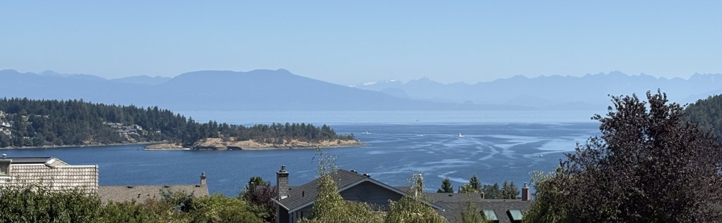
I went back to main lodge and took some photos of the views. This was the main road going in (which they are in the process of repaving)

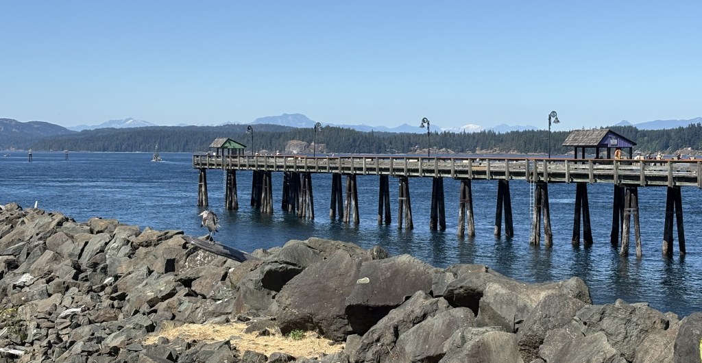
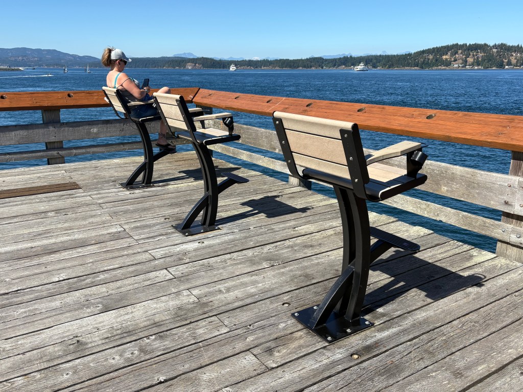
This is looking towards Campbell River, I believe. The water you see in these photos is the Strait of Georgia, which separates Vancouver Island from the British Columbian mainland (and narrows to become Discovery Passage up near Campbell River):
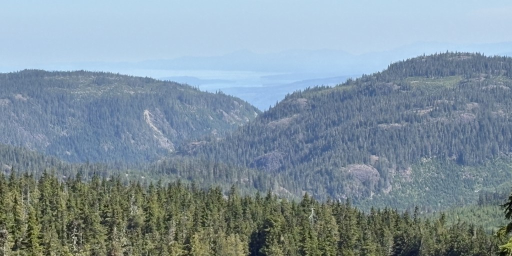
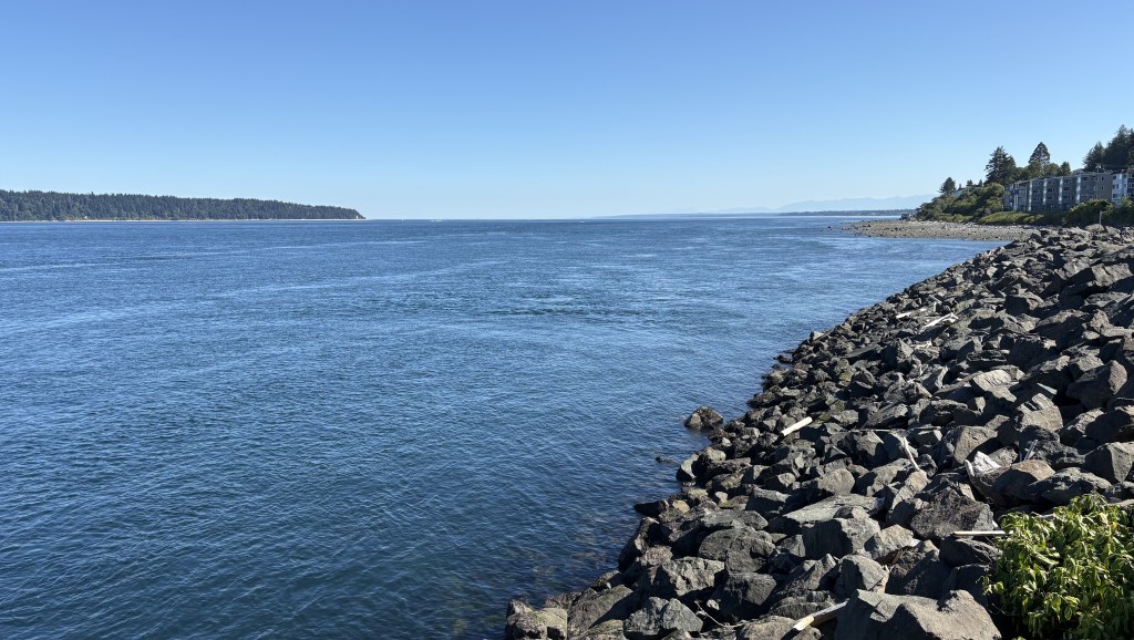
And this is looking further south, towards Courtenay and Nanaimo: