Tuesday was a travel day as I went from Spokane, Washington north and east to north-central Montana and the little town of Havre (pronounced as if you reverse the last two letters – HAVE-r). Monday night the smoke moved back into the Spokane area and when I left around 8 o’clock Tuesday morning the air quality was the worst I had seen the whole time I was there. Fortunately they had great weather Friday through Monday for the food and music festival being held downtown and early reports were that attendance was up 15 to 20 percent from last year.
I headed east on the dreaded interstate, quickly reaching the Idaho border, past Coeur d’Alene and through about 70 miles of Idaho before crossing over into Montana. I stayed on the dreaded interstate until I got past Missoula and then switched to more scenic Highway 200 which was a more direct path to my destination. The road was only two lanes in most spots but traffic was light and the speed limit was 70 so I still made good time. In Great Falls I got on Highway 87 which was a very pleasant drive of a little over 100 miles, pretty much a straight shot, to Havre.
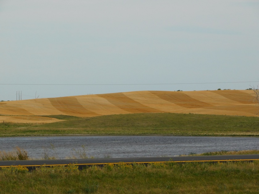
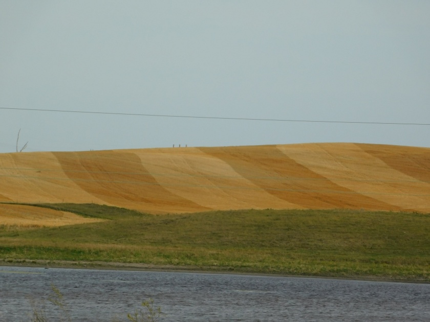
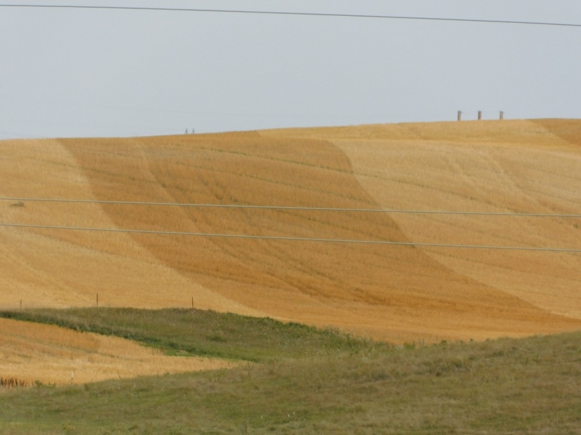
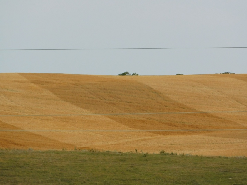
Once I got past Missoula the landscape really opened up to huge fields on both sides of the road with crops and some cattle. Montana is a big wheat producing state and I suspect that is what many of the fields contained, although I learned last year that some farmers do what is called “strip cropping” where they will plant long rows of alternating crops. It creates an interesting visual effect which I wish I had taken photos of last year when I traveled from Bozeman up to Glacier National Park. I didn’t see anything quite that dramatic or photogenic this year but in places it looked as if they had planted 1/10 of a mile of regular wheat (light brown, like sourdough) then 1/10 of a mile of dark wheat (like pumpernickel) and those rows went out for a mile or more. I know that’s not how bread works, and the alternate rows may have contained something totally different, but my point is it looked really cool. This photo, which I found online, illustrates what I am trying to describe:

(Photo credit: alamy.com)
Those colors are exaggerated but that pattern is what I am talking about.
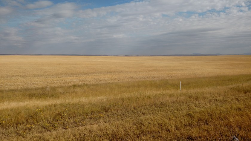
Here are the actual colors I did see. This is looking right (east) off Highway 87:
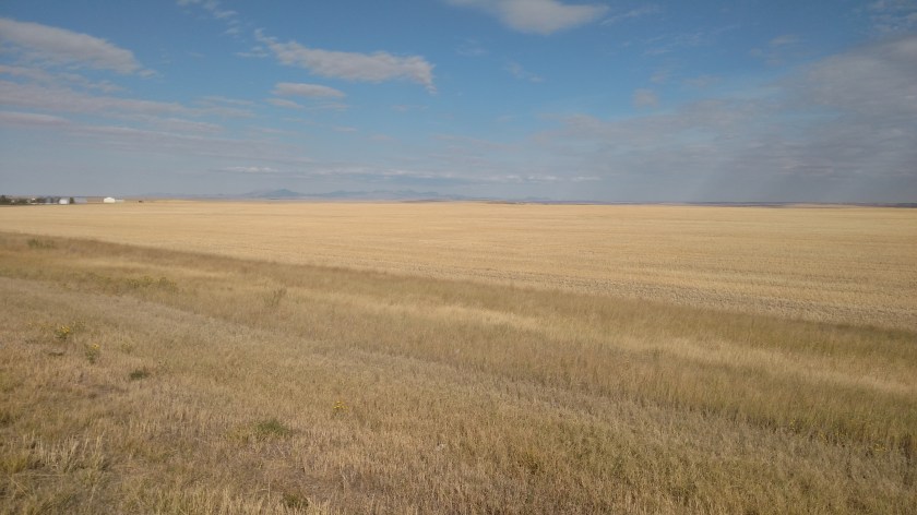
And looking left (west):
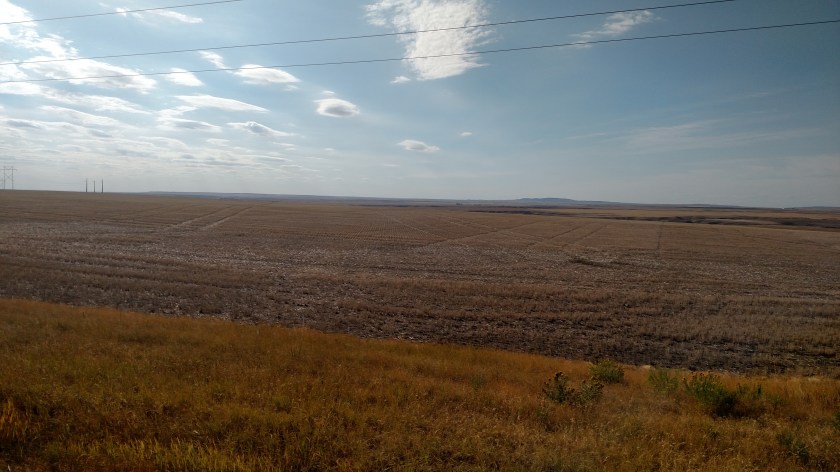
Now imagine those two colors planted in the same field, side by side, like the internet photo above.
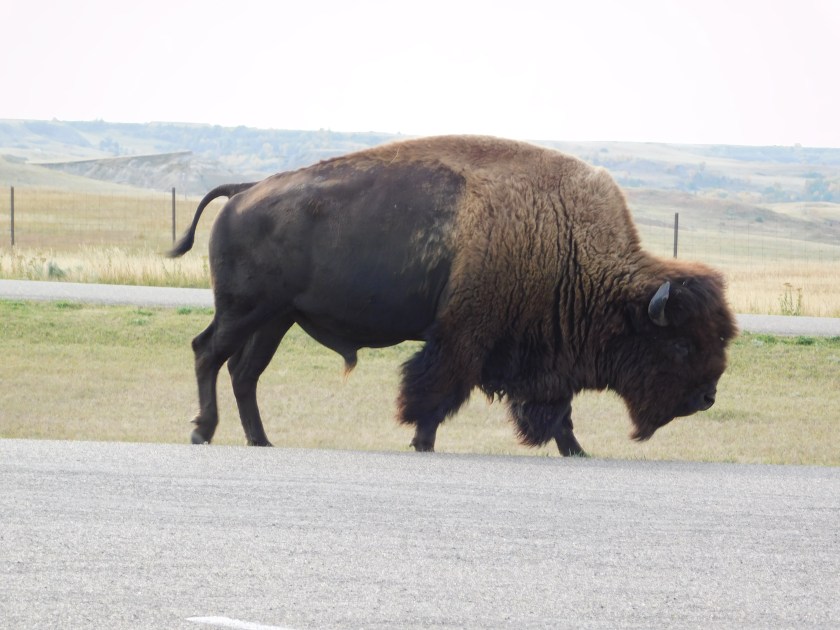
At one point, near the town of Fort Benton, I saw a turnoff for a scenic overlook. Based on those fields of grain I didn’t expect to see anything different but I stopped anyway. Much to my surprise, just below the surface area I had been seeing from the road, was the Missouri River!
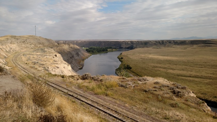

I kind of knew it was in the area because part of what I plan to go see on Wednesday is a National Recreation Area and various Wildlife Preserves which border the river as it goes east through the state. But I had no idea that I was that close to it and seeing it just off the highway was a bit of a shock.
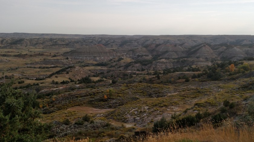
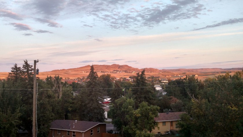
I arrived in Havre and am staying it a beautiful home up on a hill south of town. This is the view from the living room upstairs looking east towards Saddle Butte. My guest room downstairs has the same view.
I will be out exploring the area on Wednesday and will hopefully have some good photo opportunities.
Once I got past Coeur d’Alene yesterday the smoke cleared and visibility was good the rest of the day. I should now be far enough east of the wildfires that hopefully the smoke shouldn’t be a problem for me going forward.