August 14, 2025
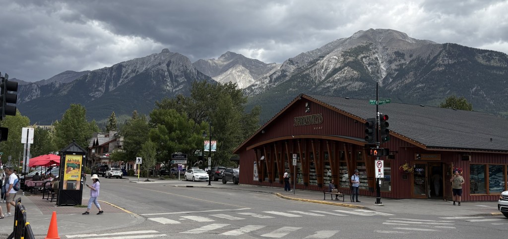
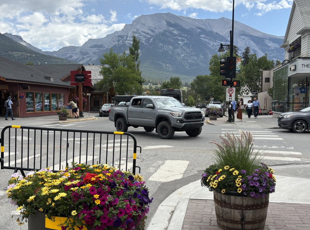
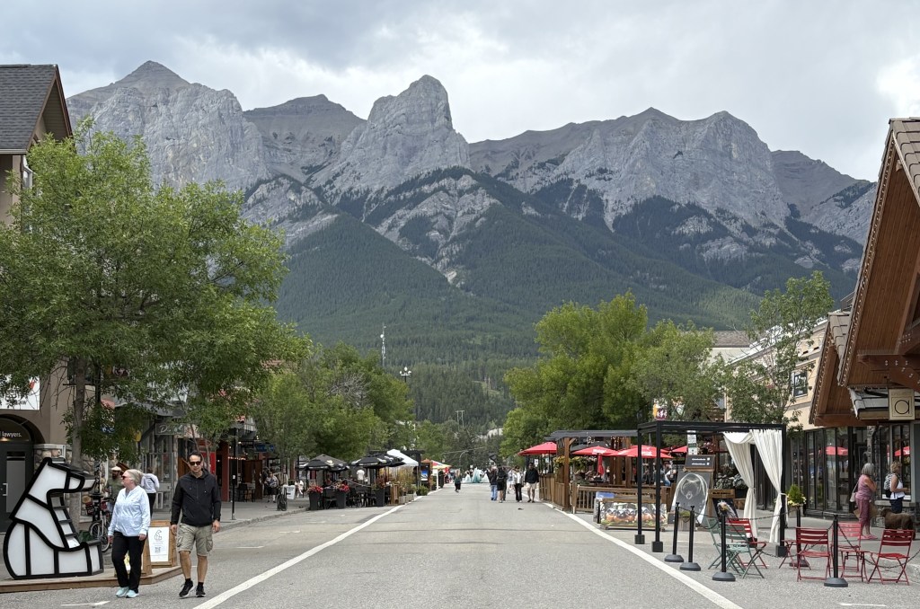
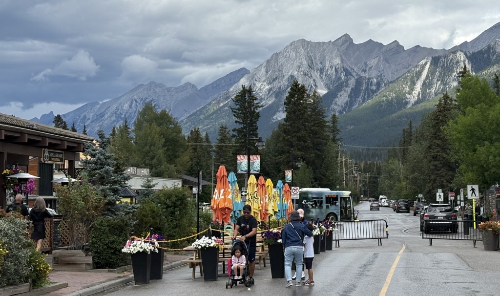
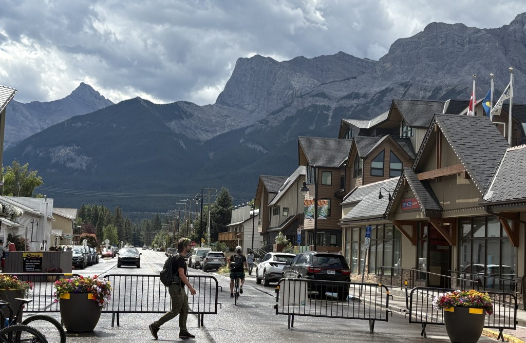
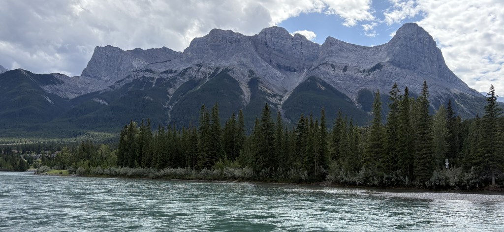
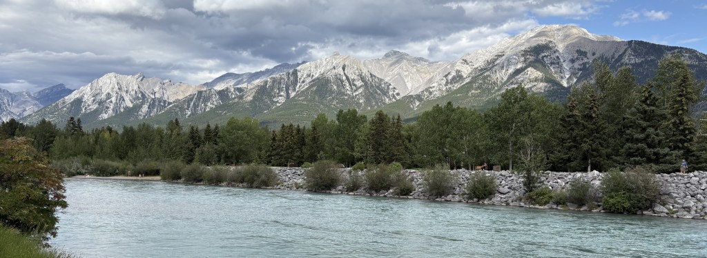
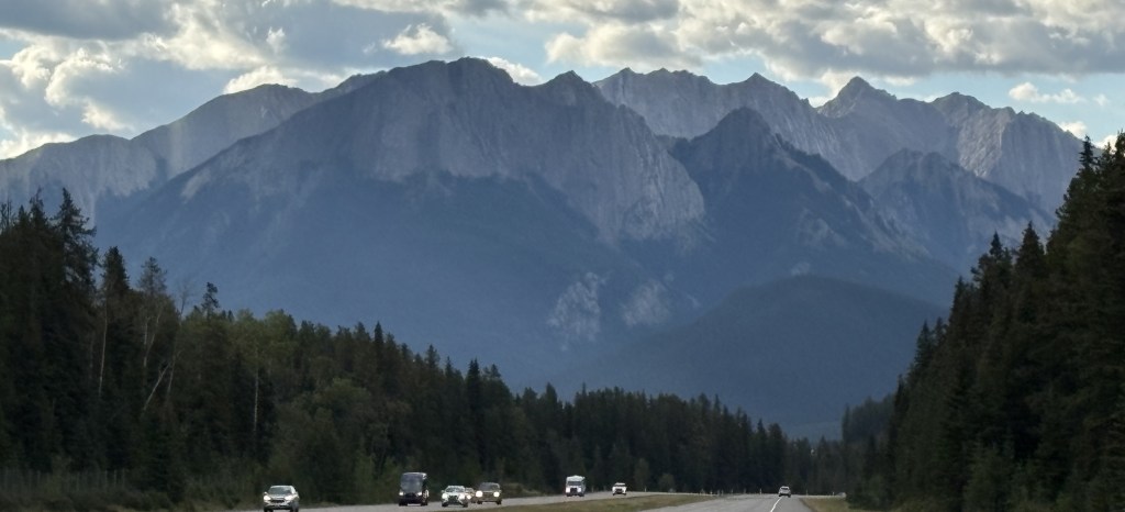
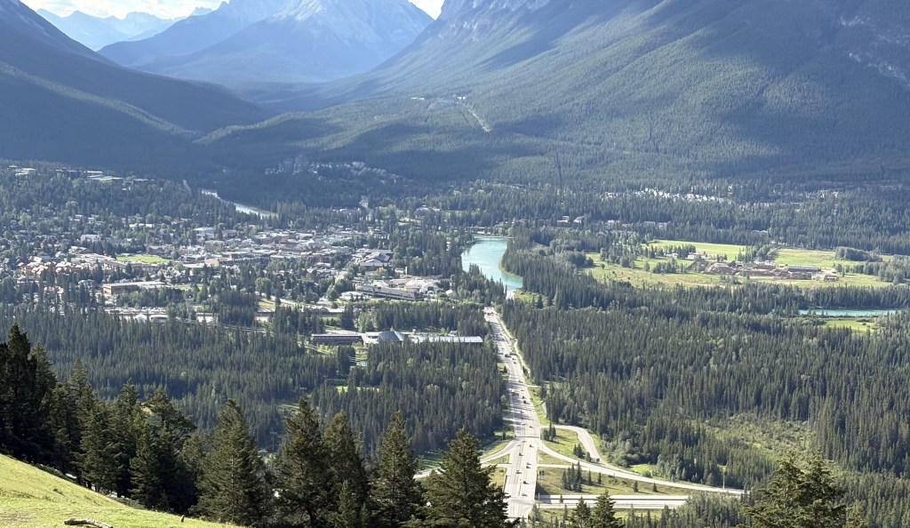
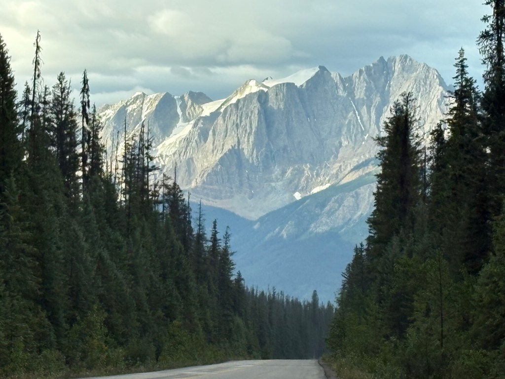
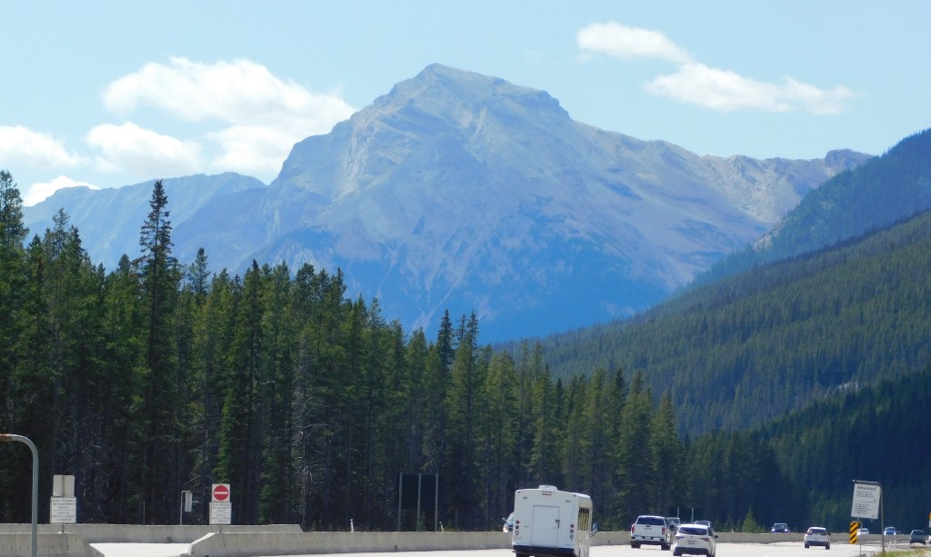
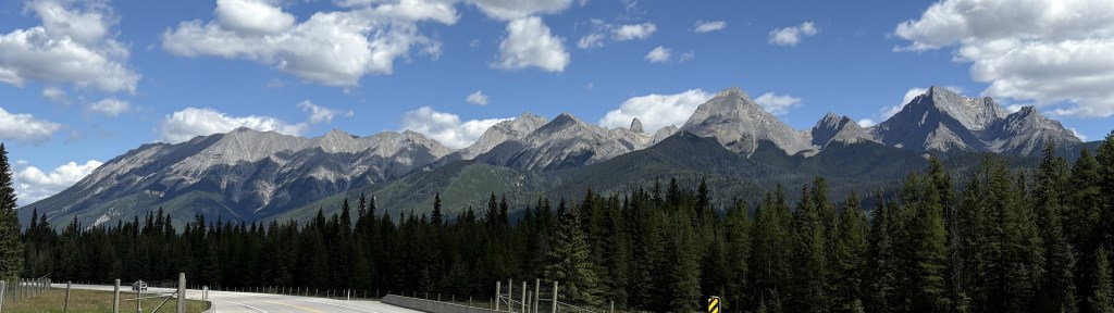
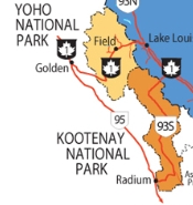
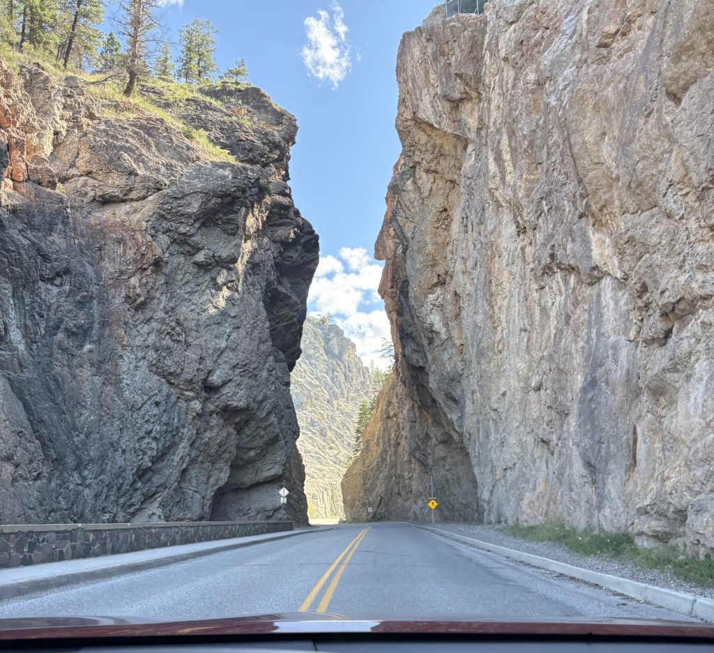
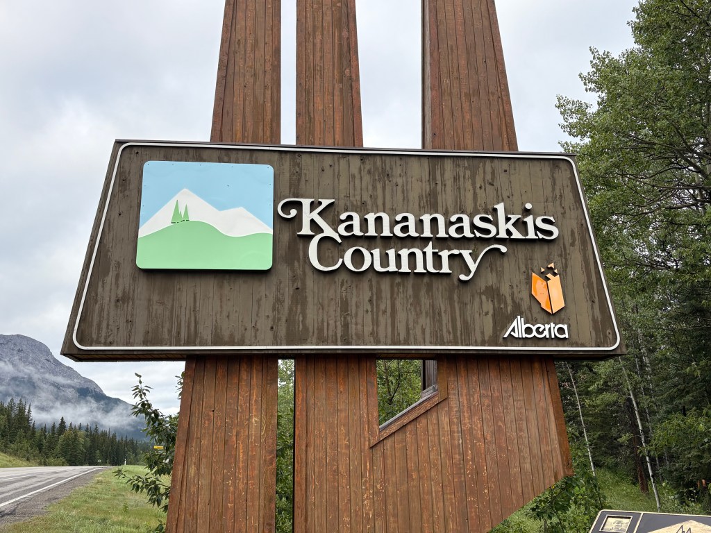
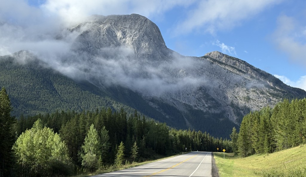
After reviewing literature I picked up while visiting Banff and Canmore I decided to drive down to an area called Kananaskis Country. To get there I would drive 19 miles south and east on Canmore on the Trans Canada Highway and then turn south on Hwy 40. Kananaskis (pronounced cannon-ASK-iss) Country is accessed via a nice, two lane scenic drive through some beautiful countryside.
One of the first things I noticed as I started driving south was the presence of cattleguards in the road (in Canada they call them Texas Gates).
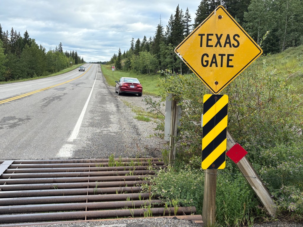
I see them lots of places but hadn’t really noticed them in Canada until now. They keep cattle from leaving areas where farmers or ranchers would like them to stay by creating slots which their hooves would drop into, thereby preventing them from getting by. They are generally accompanied by signs warning drivers of “Free Range” animals ahead. In this case, cattle are allowed to cross the main road to get to fields or pastures on the other side but are prevented from getting too far on the road itself.
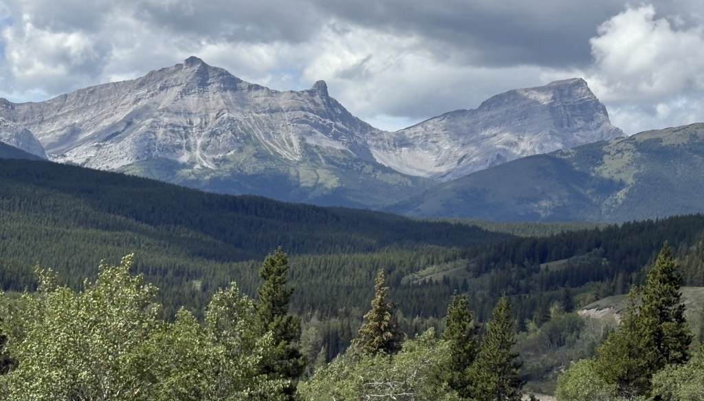
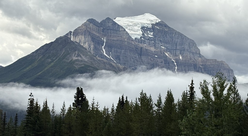
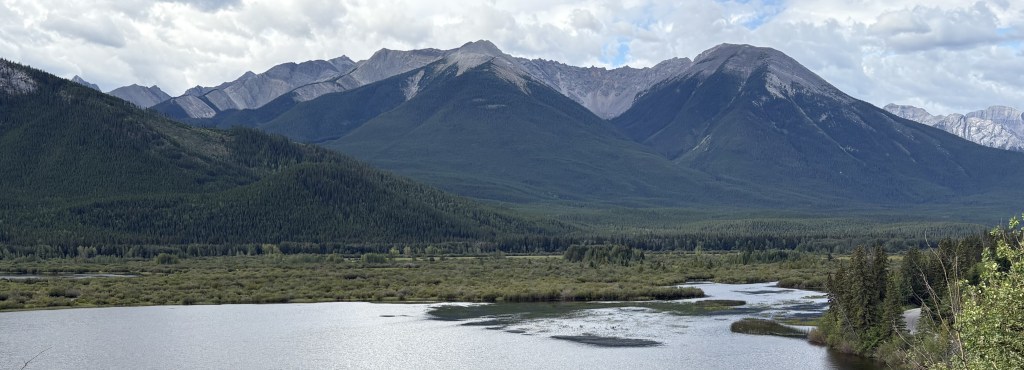
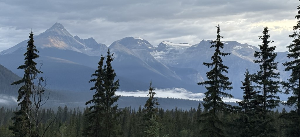
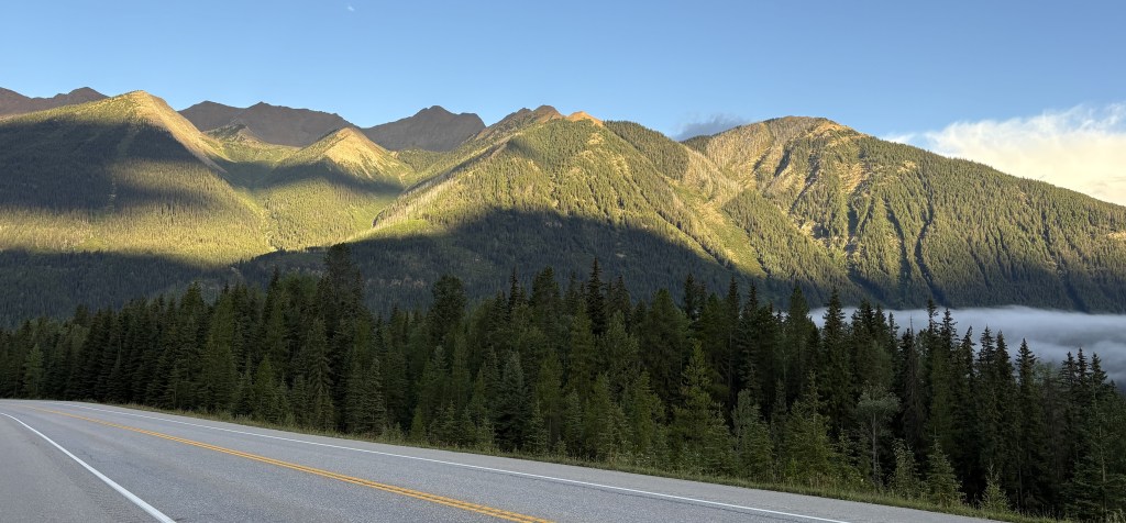
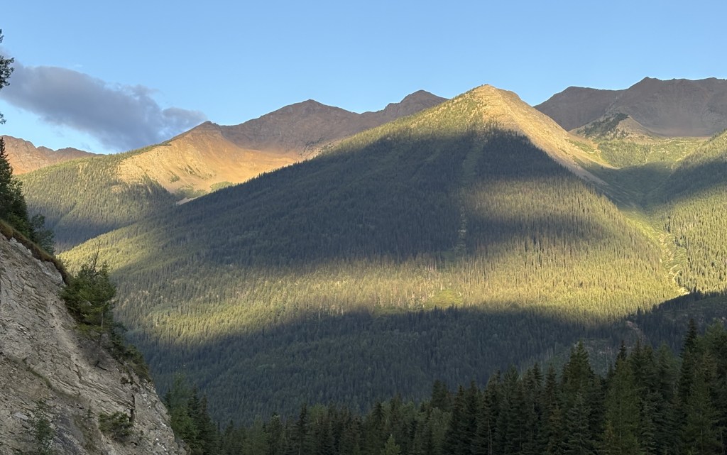
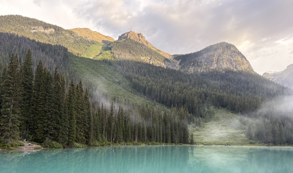
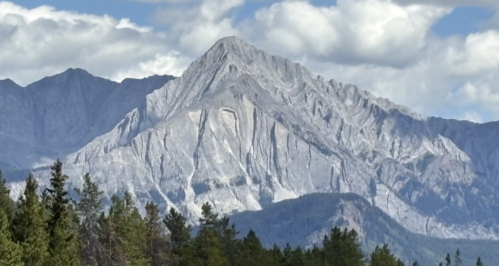
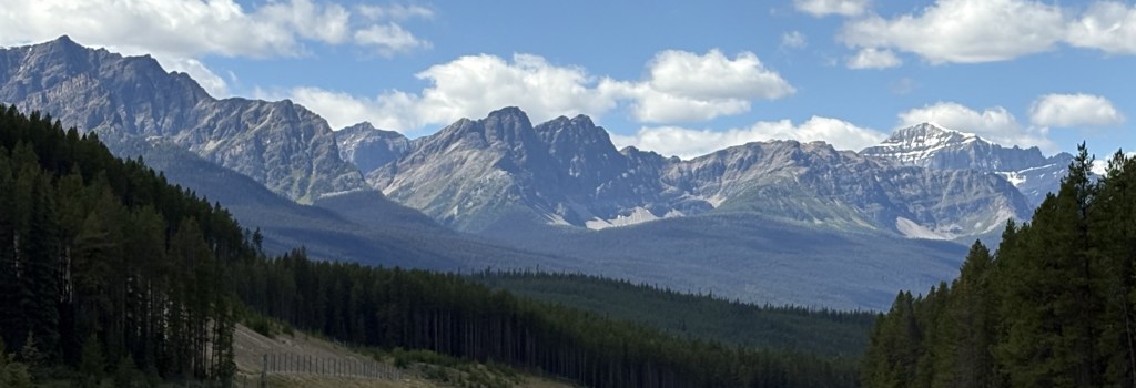
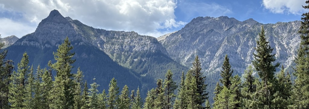
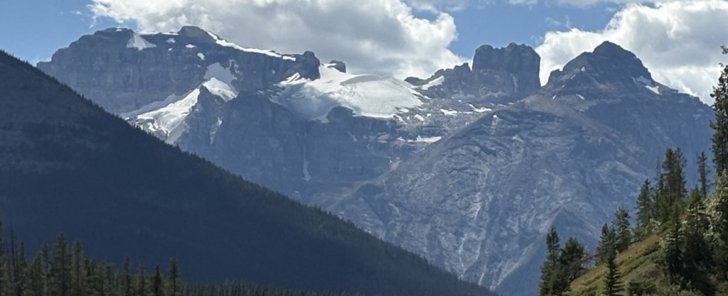
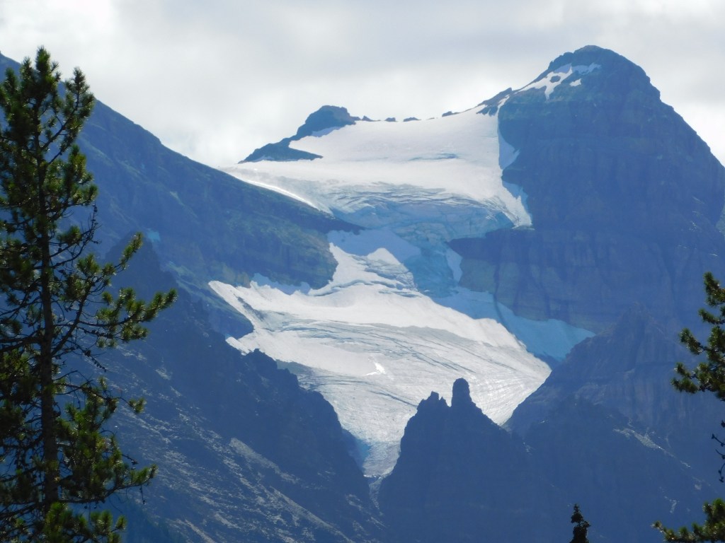
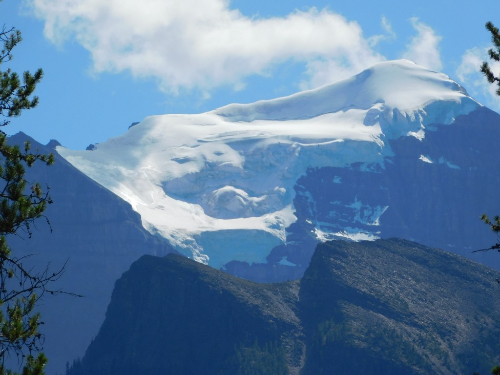
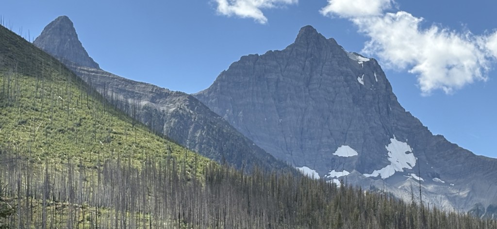
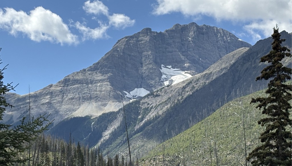
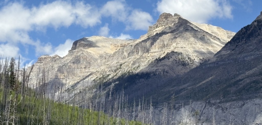
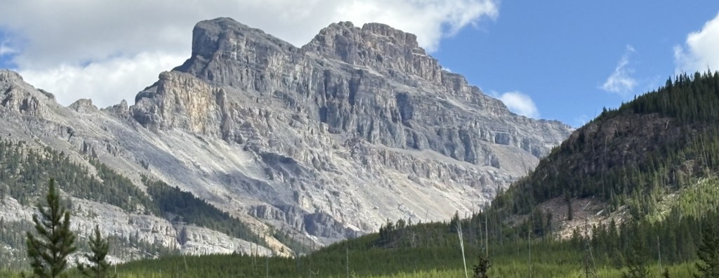
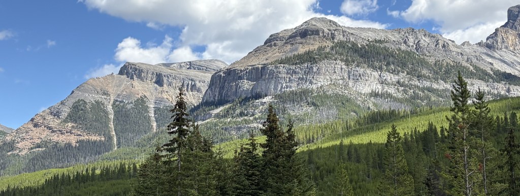
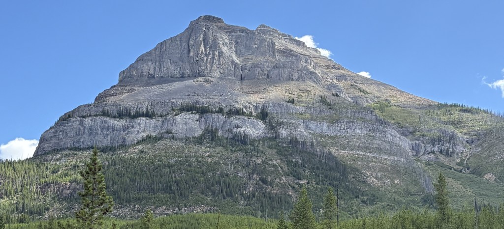
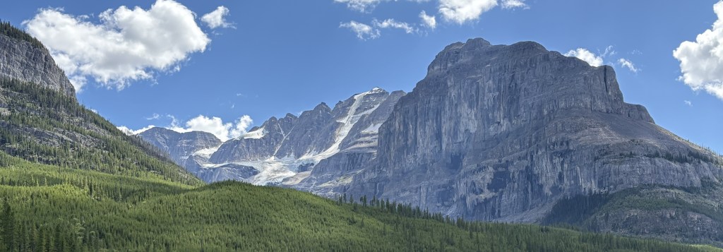
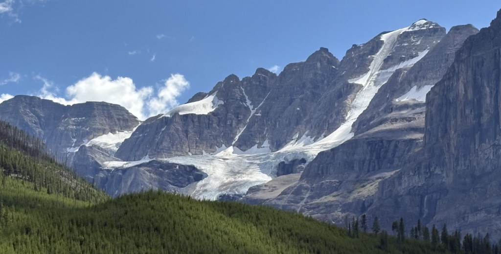
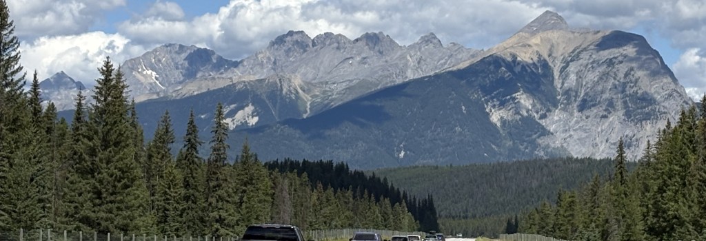
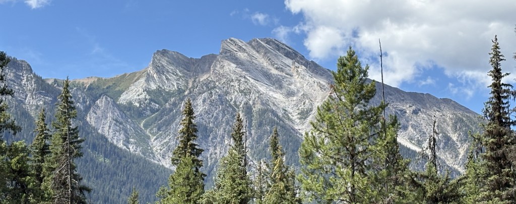
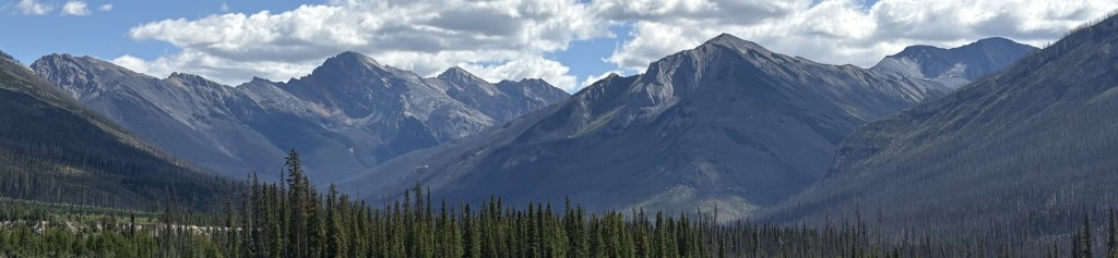
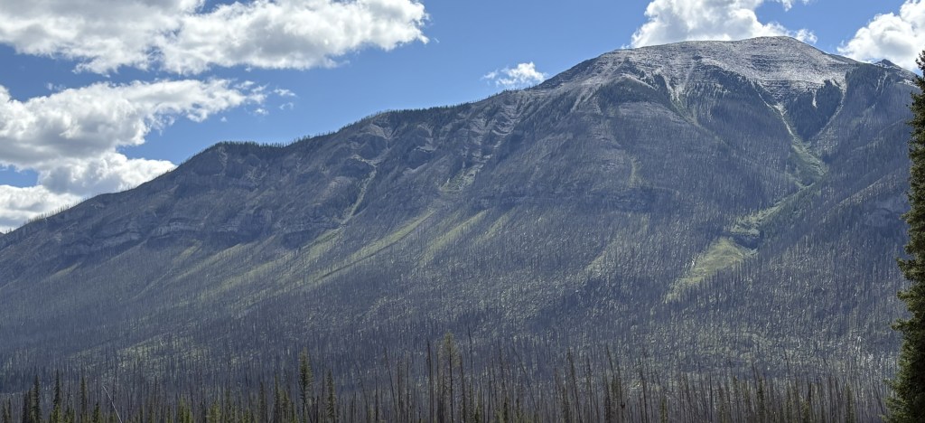
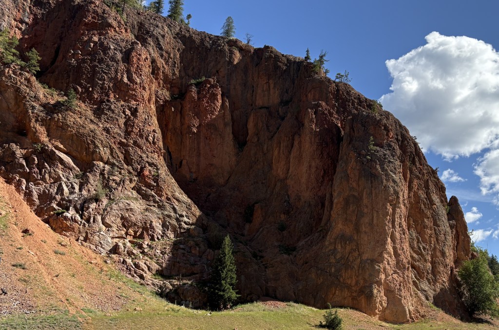
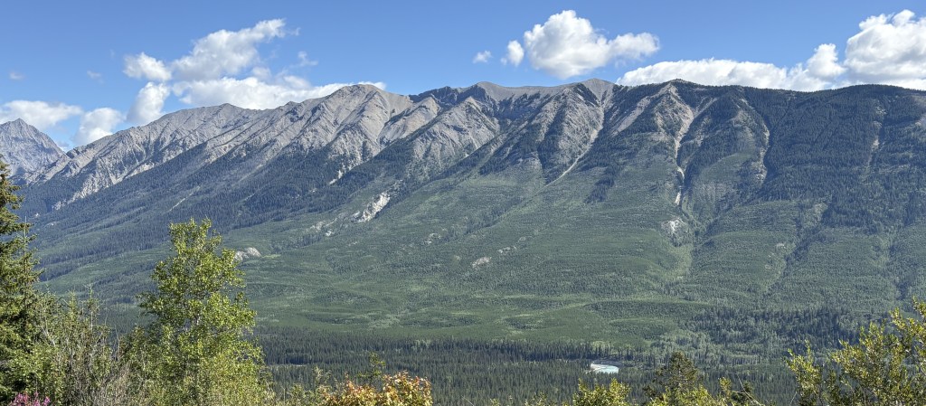
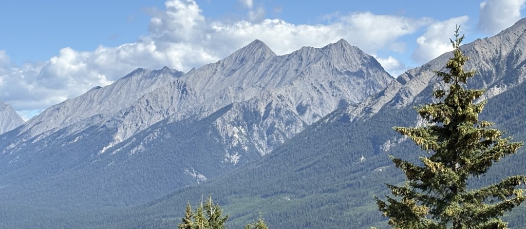
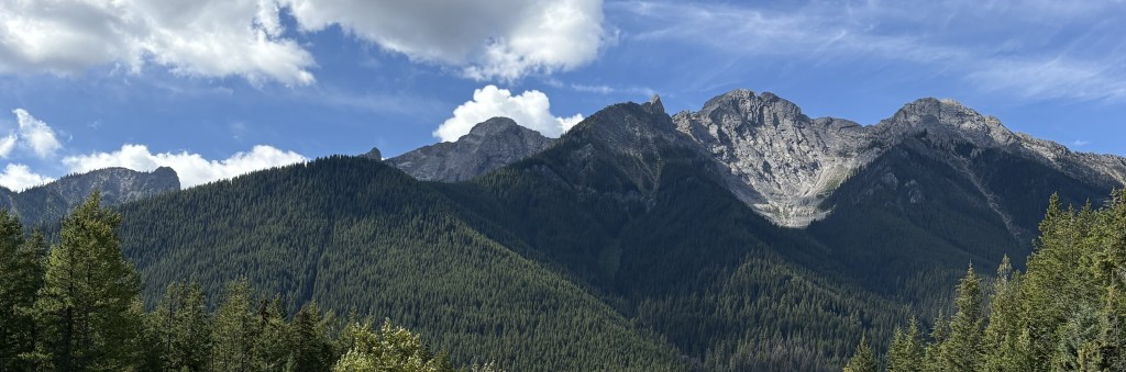
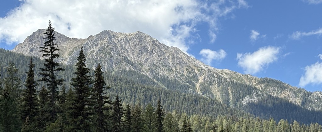
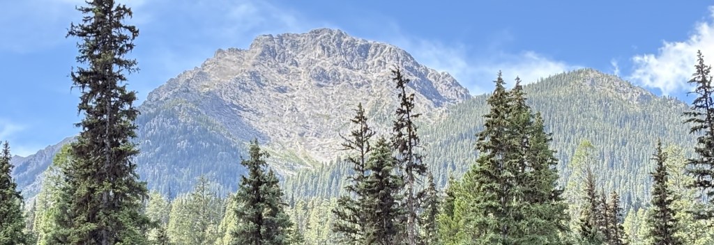
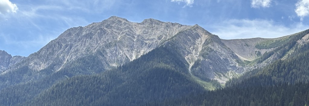
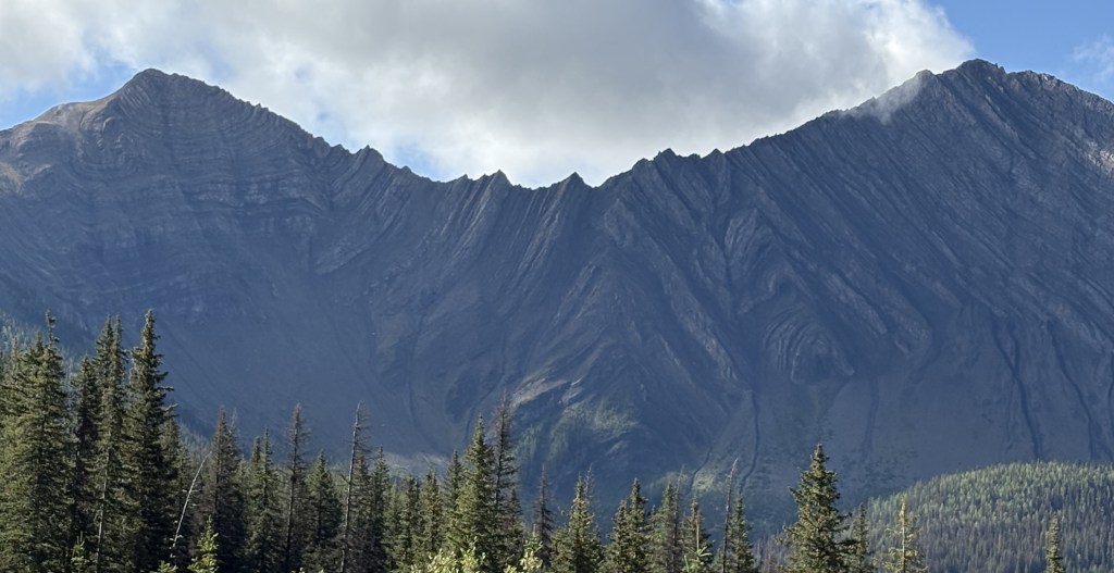
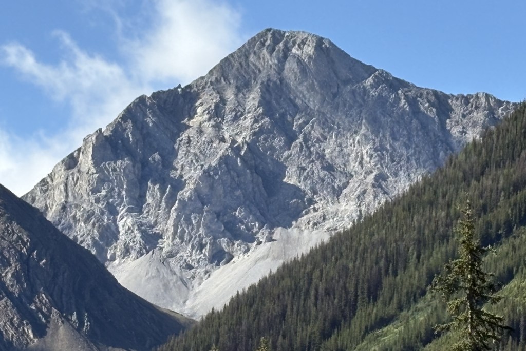
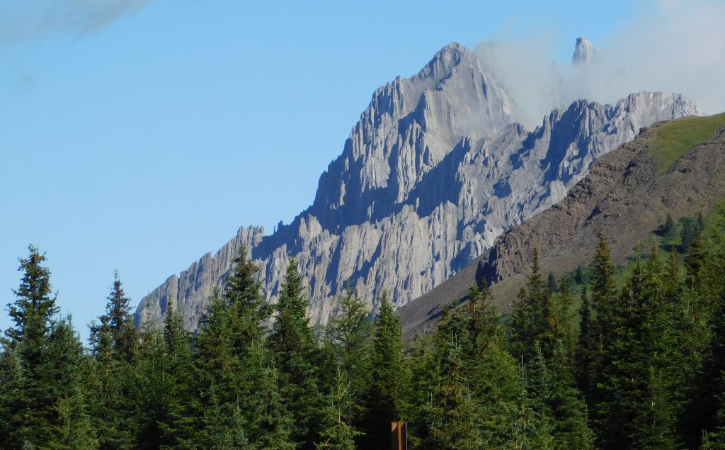
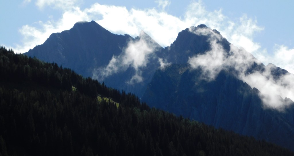
While I was now in the foothills of the Canadian Rockies there were still sizeable mountains along my route. There were some low clouds as I drove south but they would lift later in the day. Once again, many of the mountains were different in appearance than others I have seen Canada.
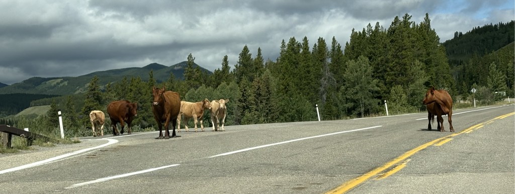
Can you say moo? This is a prime example of what I was talking about earlier. There were no cattleguards preventing these cows from getting up to the main road but there were some going north and south from here to prevent them from walking off.
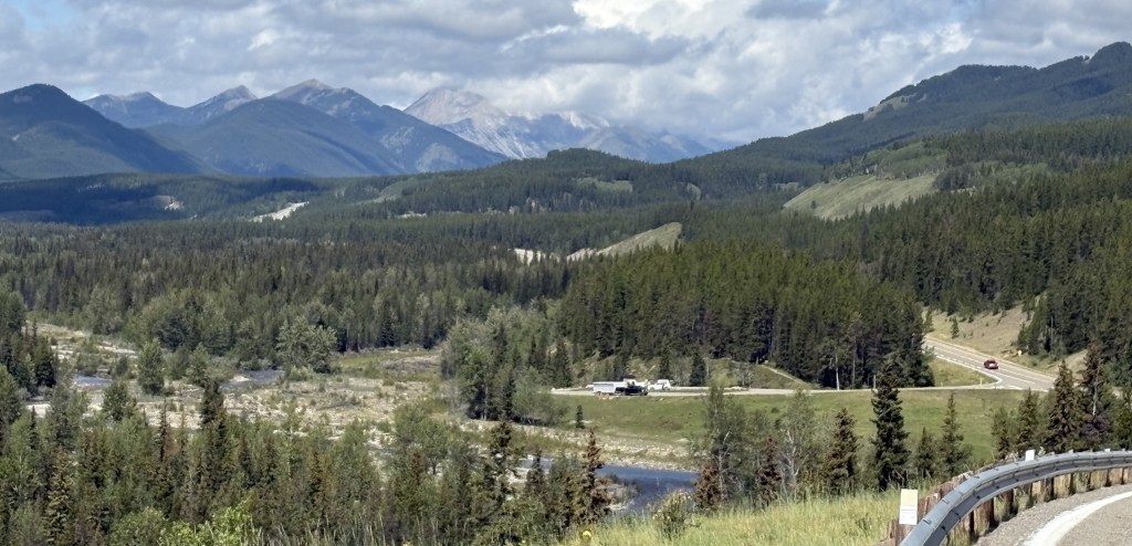
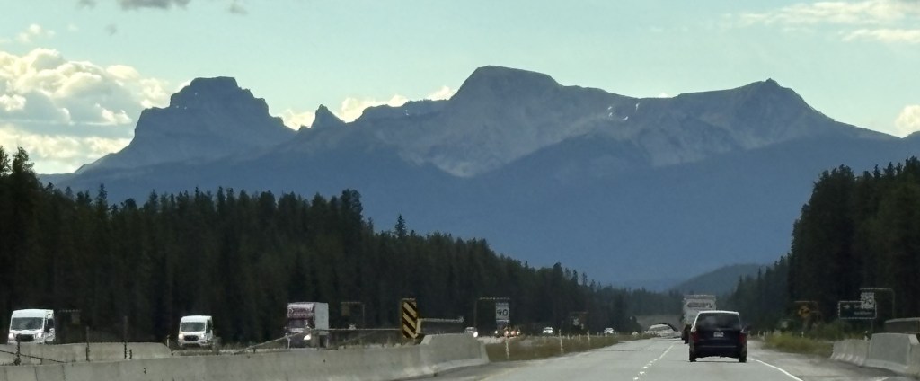
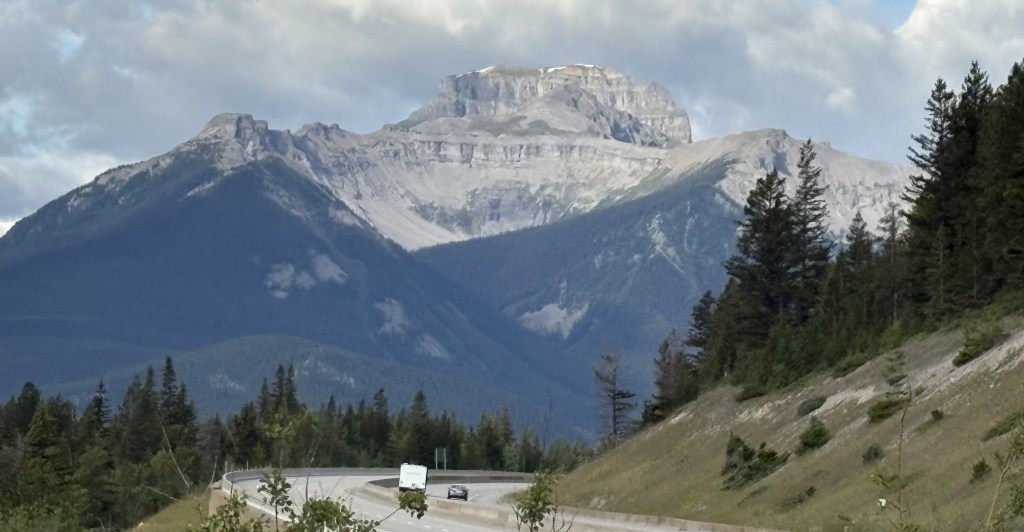
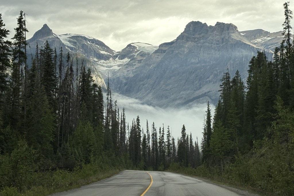
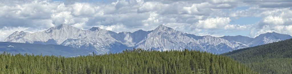
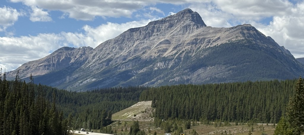
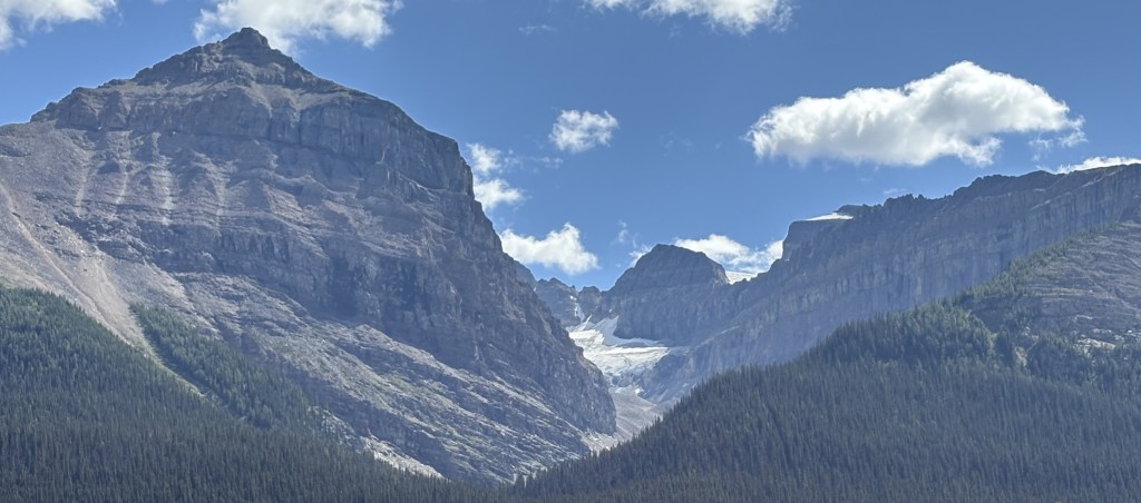
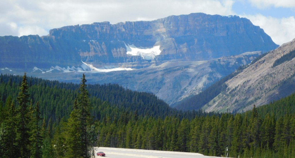
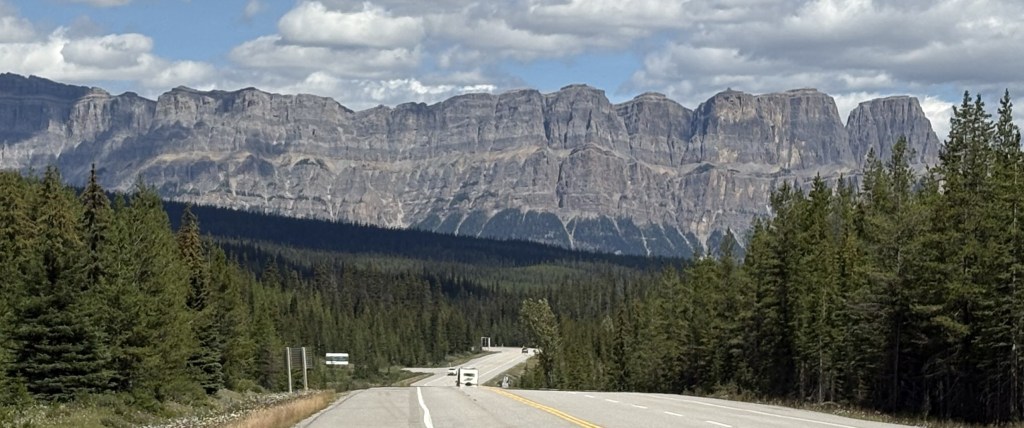
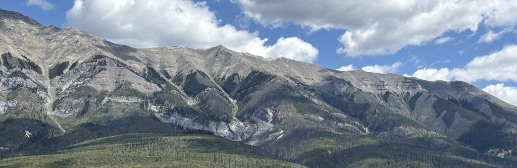
This was taken from a rise in the road looking back the way I came. You can see it was still overcast up by the TCH but it was getting sunnier where I was headed. I would drive about 40 miles south before turning around to go back.
These were taken at the point where I decided to start back. It was near a small town which I can’t even find on the map. There were lots of stuffed animals, painted white or faded by the sun, attached to the fenceposts near the road.
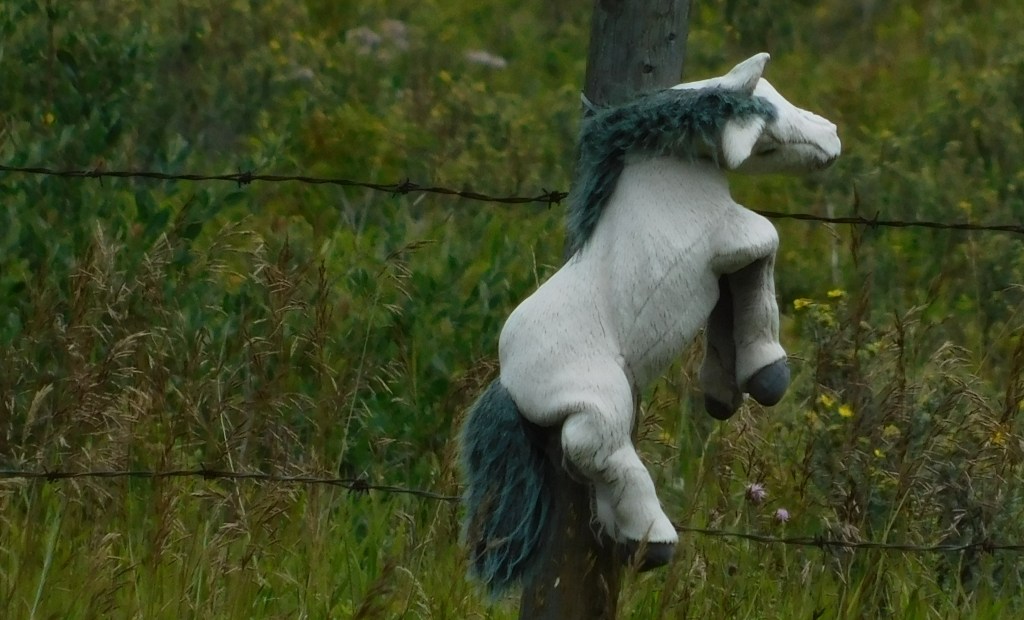
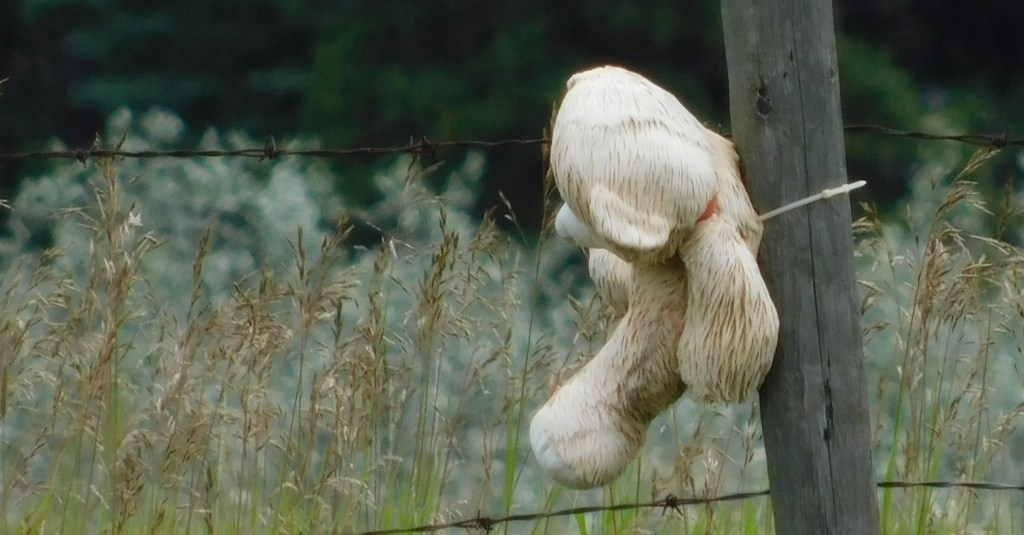
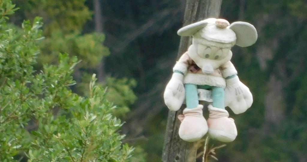
There was a sign nearby for Bearspaw Nation, which is made up of several indigenous tribes in the area. These animals are generally a memorial to children of indigenous tribes who died in residential schools, apparently a big problem years ago in Canada and perhaps elsewhere. In some cases they are memorials to children killed in accidents or by illness.
I turned around and started heading north. Guess what I found in the road, right around the same place as I saw them before?
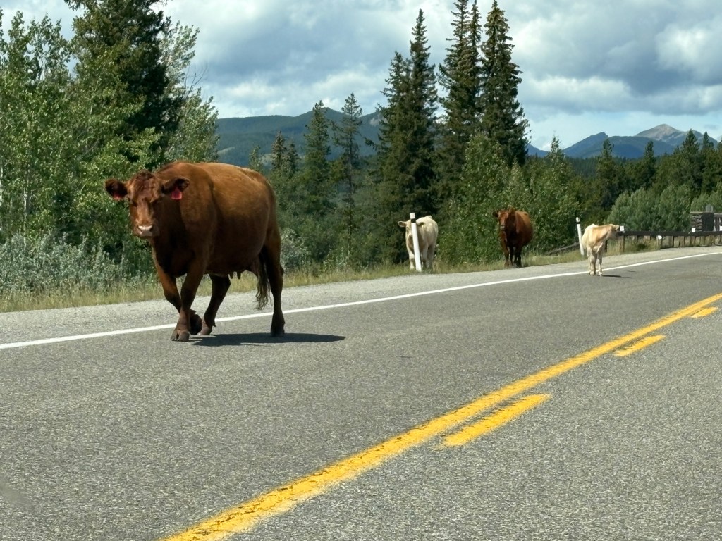
I’ve been telling people who ask about how many and what types of animals I have seen during my trip that I have undoubtedly seen more cows in the road (not only here but elsewhere) than anything else. Eagles and moose are probably next, and after that the numbers are very small.
The first photo of the cows was taken at 1117am. The photo above was taken two hours later. I don’t know for a fact but I am pretty sure they are the same cows. I also saw groups of cows resting in the grassy areas next to the road.