August 9, 2025
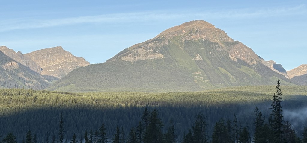
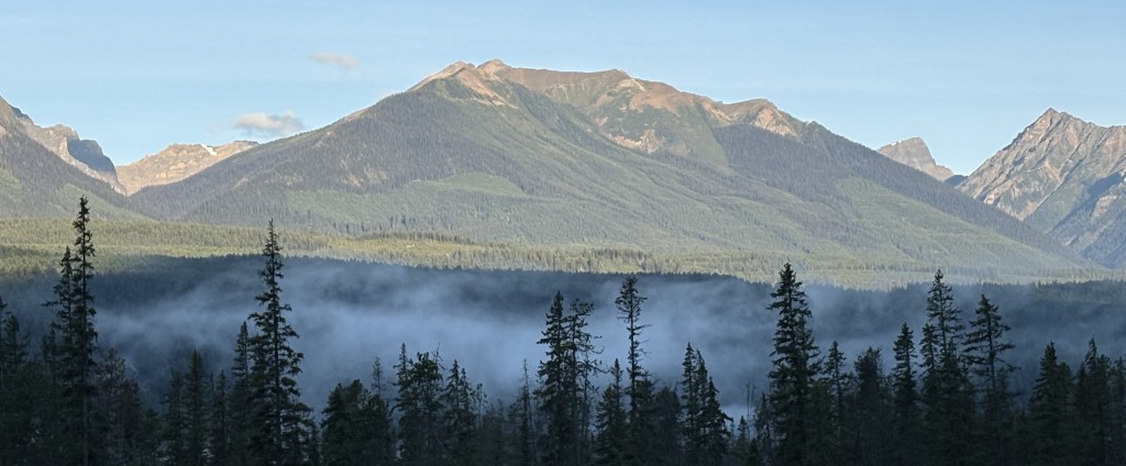
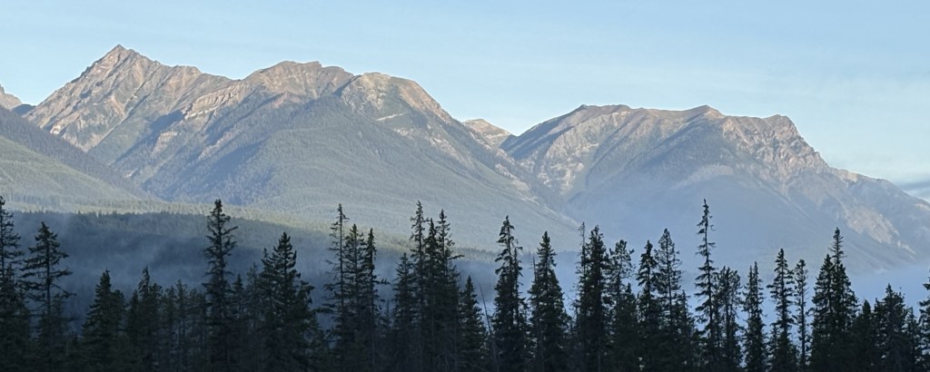
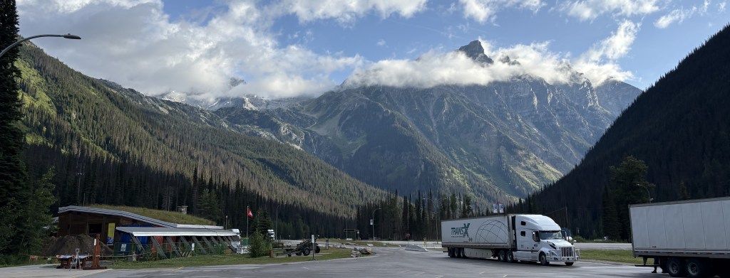
After passing through Glacier National Park I continued west on Hwy 1 to Mt. Revelstoke. It is located next to the highway, near the town of Revelstoke.
(Photo credit: Parks Canada)
I stopped at the information kiosk between the two Parks and the ranger there suggested I get to Mt. Revelstoke sooner rather than later, as parking near the top gets scarce as more people arrive. She was right.
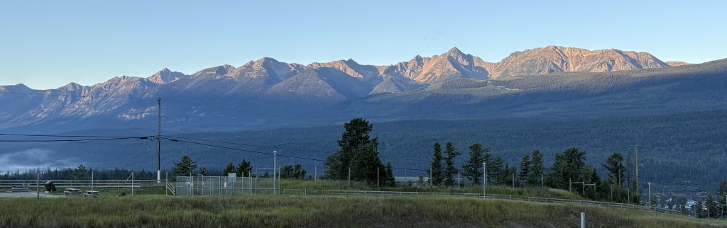
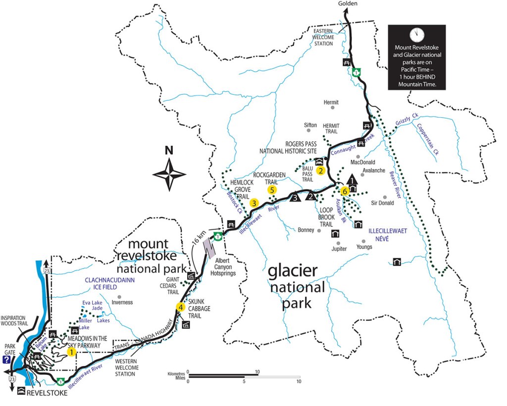
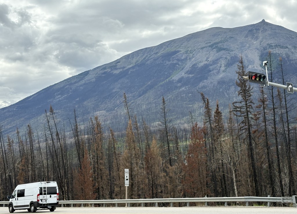
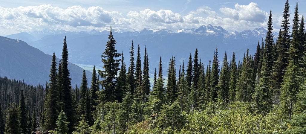
The Trans Canada Highway doesn’t even go through the Park, but runs along part of the southern edge. Once I got close to town I pulled off onto the entry road and found that the only road in the Park is the “Meadows in the Sky Parkway,” a 16-mile, two lane road comprised of a set of many switchbacks (and with a low speed limit) which leads to the top. There were a handful of parking areas for hiking trails along the way.
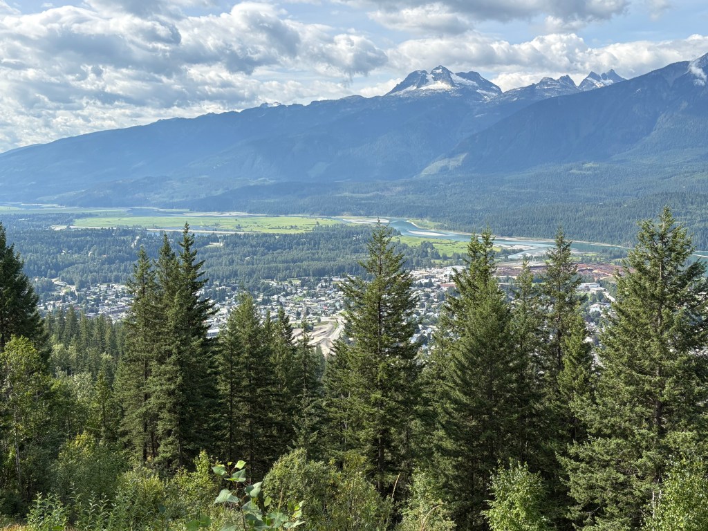
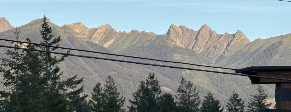
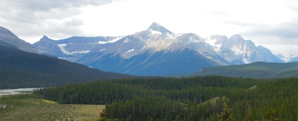
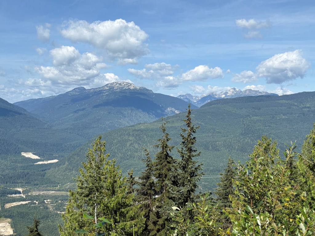
This one looks down at the town of Revelstoke. Beyond it is the Columbia River, and the mountain in the distance is Mt. Begbie, which is almost 8,000 feet tall. I proceeded all the way up to the small parking area at the top (which I had to walk to as vehicles were lining up along the access road). There was a small cabin with rangers to answer questions.
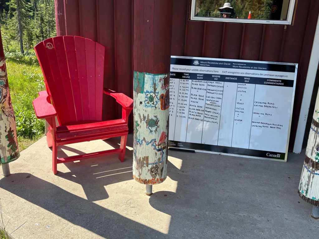
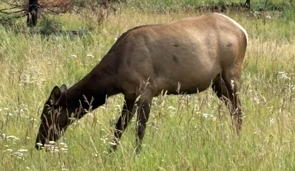
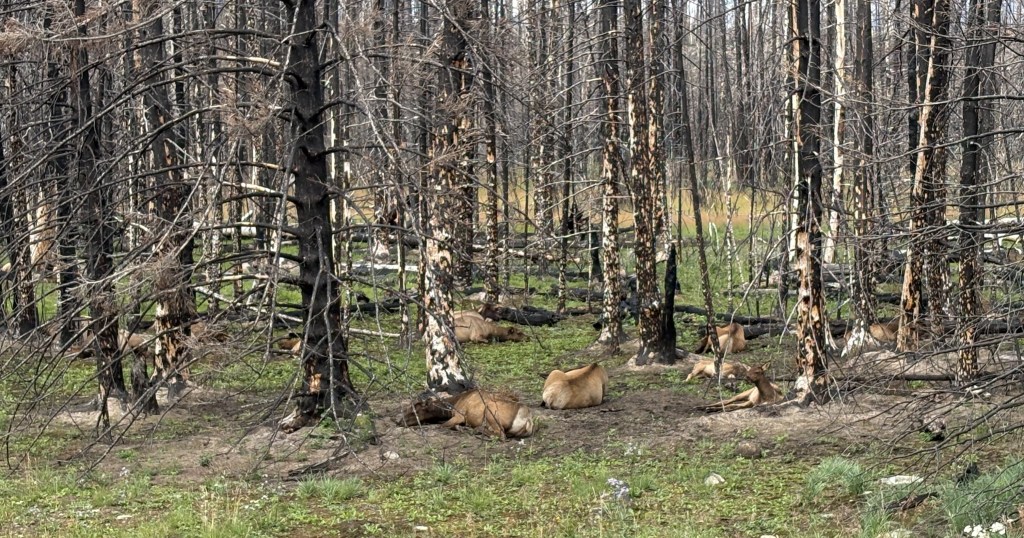
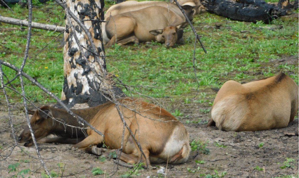
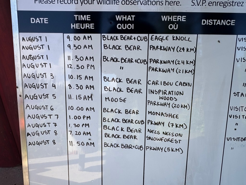
The sign reports recent wildlife sightings:
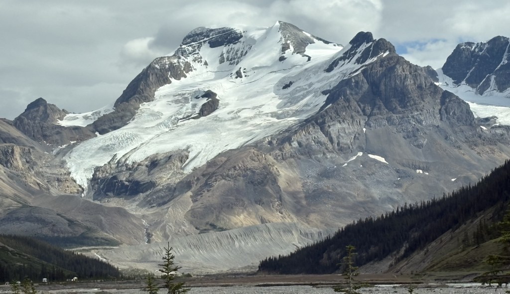
There wasn’t even a view from this vantage point, and one had to hike out to the actual mountain peak to see anything. There was a sign indicating I was at 6,360 feet elevation.
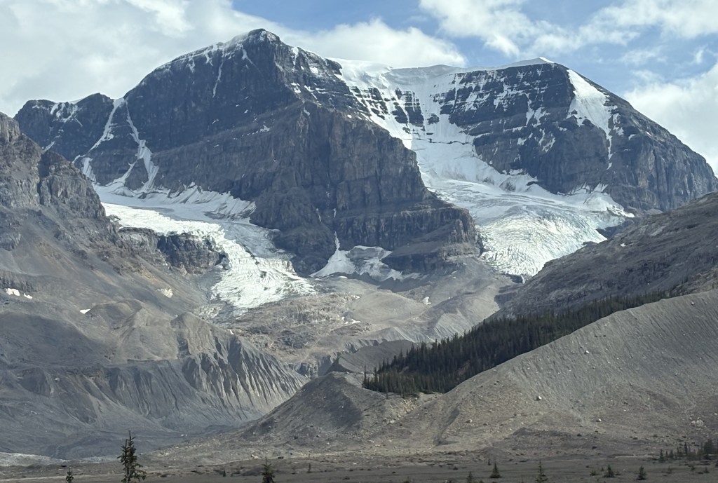
I asked if there were places to get views on the way back down and stopped at two of the places that were suggested to me.
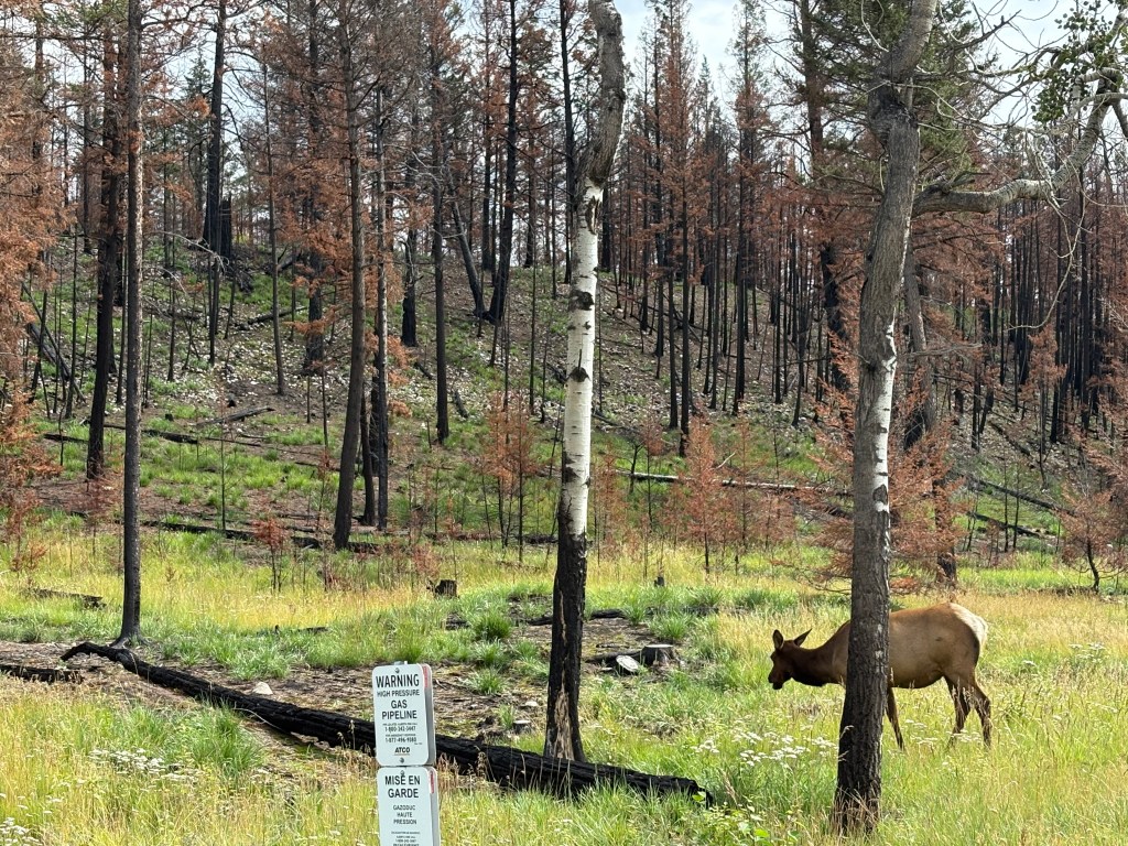
I should also mention that as I was driving up the mountain I was interested to see a sign in the road prohibiting dogs “beyond this point”. Of all the Parks I have been in I have never seen that restriction. Apparently, some dog owners would let their pets run loose, contrary to Park rules (which pretty much all Parks have. Pets must be on a leash). This often resulted in bear attacks, and then the bears might think that, hey, this might be a nice place to hang out. So this Park decided to ban dogs altogether above a certain elevation.
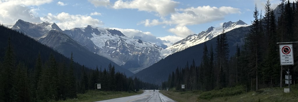
When I got back down I went into town to get something to eat and then started back to Golden, a 2 1/2 hour drive. When I had stopped at the kiosk earlier the ranger had suggested two places I would now pass on my way home. The first was a place called the Skunk Cabbage Boardwalk, a wetlands area next to the Illecillewaet River (the name is pronounced Ill-a-silhouette) and the water flows down from an enormous glacier of the same name in Glacier National Park. It is well south of the highway and not visible from the road.
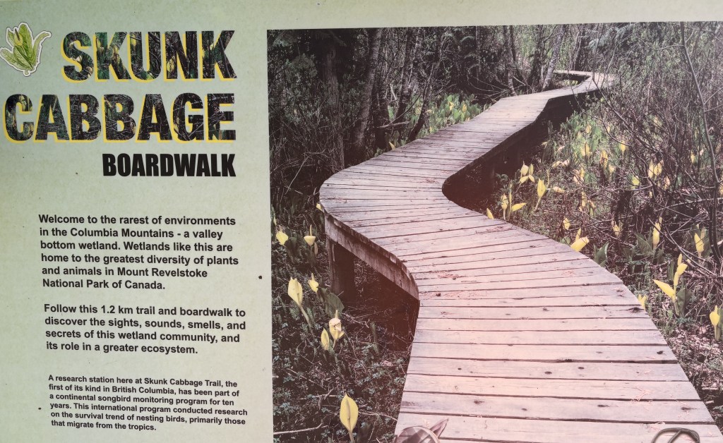
I walked towards the boardwalk but met some people coming back who told me that there was a chain across the pathway that prevented anyone from going any further. I found out later that there were probably birds nesting in the area and authorities didn’t want them to be disturbed.
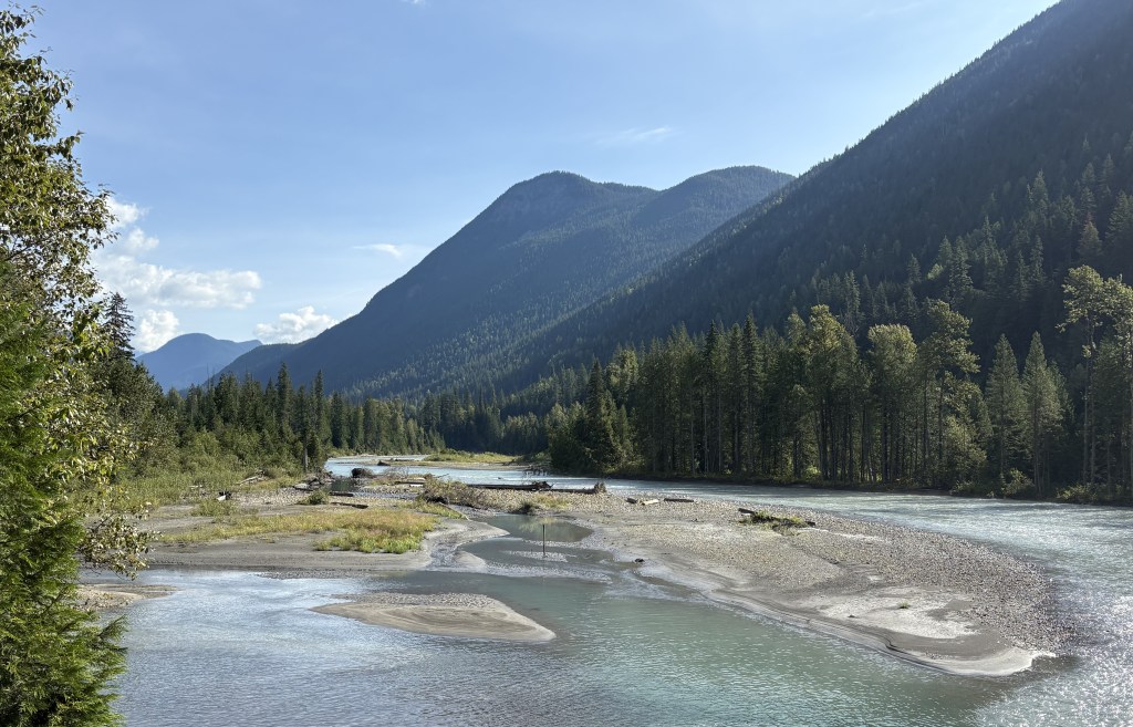
So I drove to the Giant Cedars Boardwalk just up the road, and the lack of vehicles there should have been a clue. It, too, was closed:
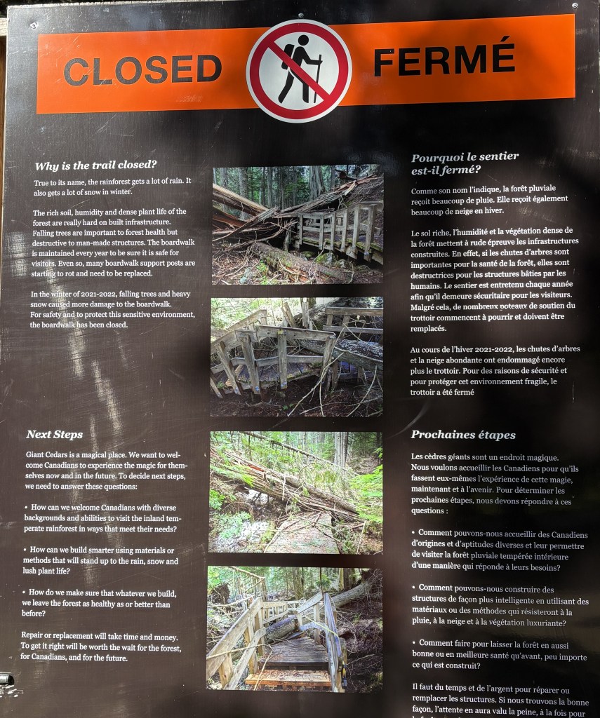
It is in a small rainforest and some of the trees toppled, severely damaging the boardwalk.
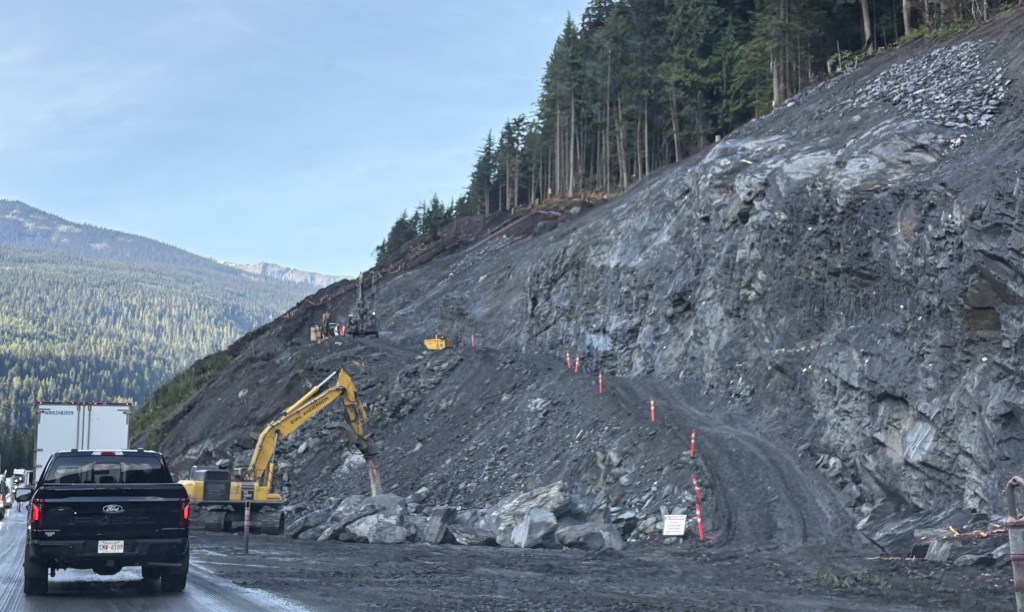
So although it was a nice day it was incredibly disappointing in many respects. I was hoping to see much more, especially in Glacier, but it just wasn’t meant to be.
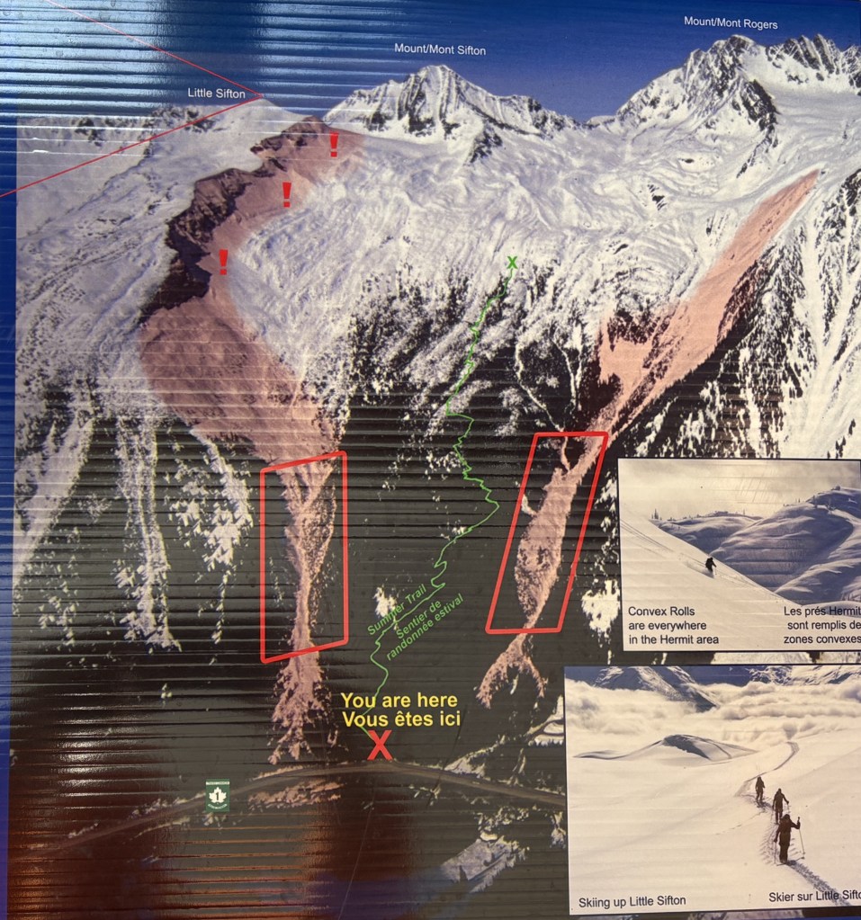
Later in my trip when I shared with my family where I had been one of my brothers, an avid skier, asked me about the ski area at Mt. Revelstoke. I told him I never heard of it, and didn’t recall seeing any signs for it.
I looked into it and found that the Revelstoke Mountain Resort is across the road from the National Park, and is located east of the town of Revelstoke. It is actually located on Mount MacKenzie. It features the longest vertical drop in North America, at 5,620 feet (from a top elevation of 7,300 feet), and they compare themselves to Breckenridge in Colorado, which is an enormous resort, and is where my brother who asked me about it worked for one season after getting out of college. Revelstoke Mountain Resort is one third the size of WhistlerBlackcomb near Vancouver, and the longest run is over 9 miles!