August 23, 2025
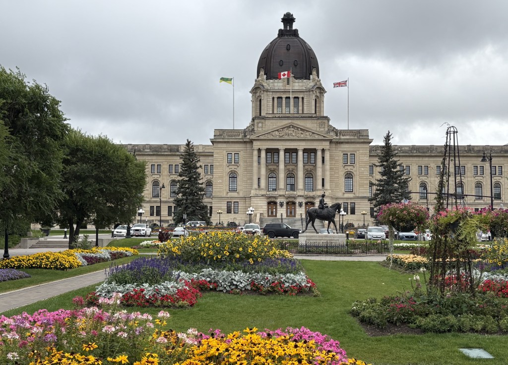
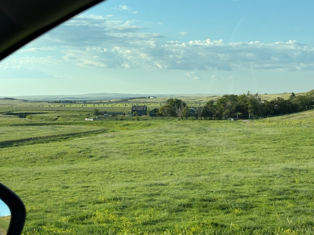
The wind and rain in Regina had moved out overnight so I had a nice sunny day to drive the 2 1/2 hours northwest to Saskatoon. I was surprised to learn that it is the largest city in the province, with a population of over 320,000.
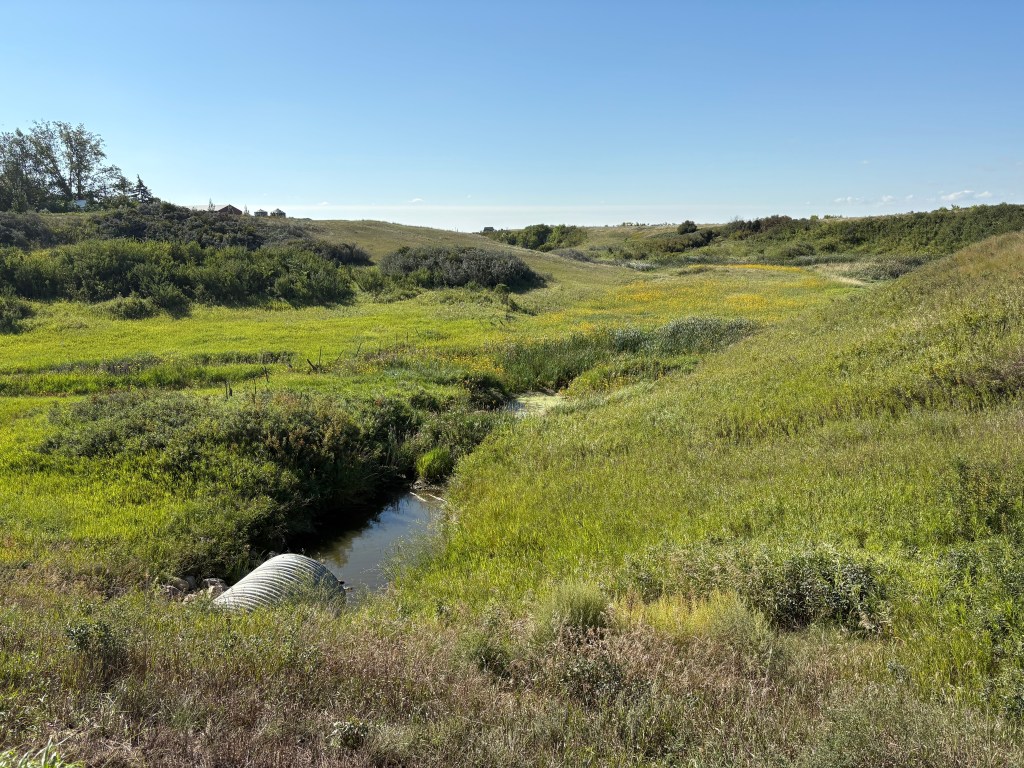
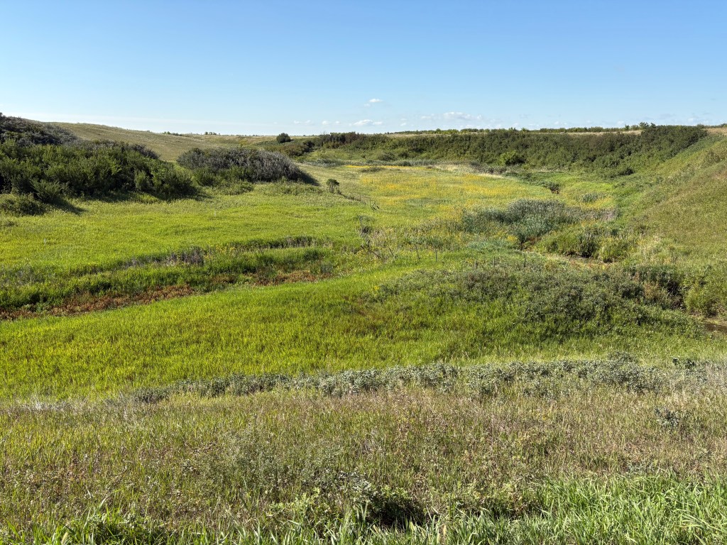
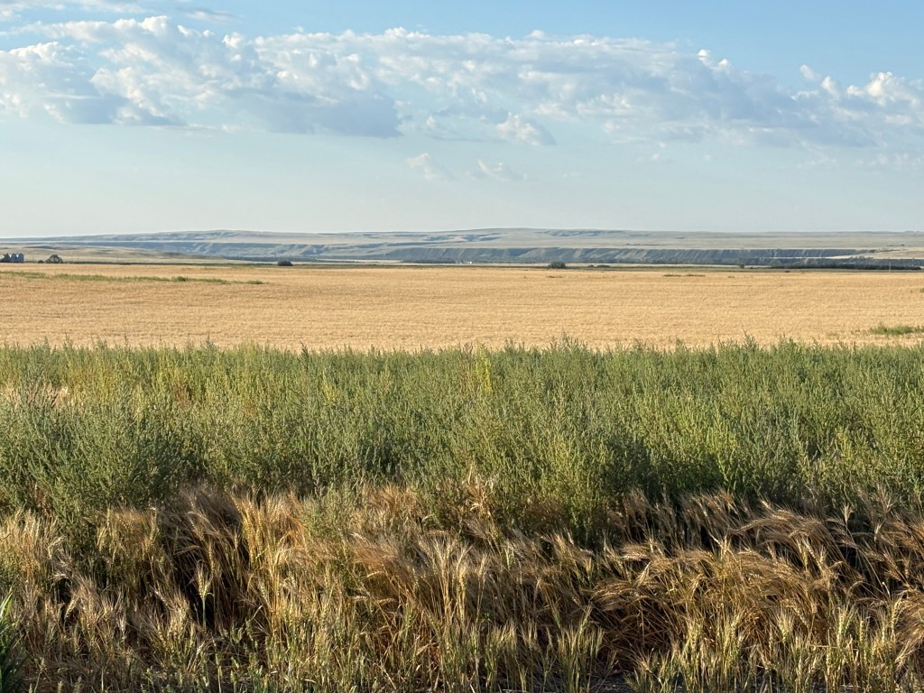
I drove there on Highway 11 and there was not much to see besides flat farmland and a couple of small towns along the way. There was very little traffic and it was a pleasant drive.
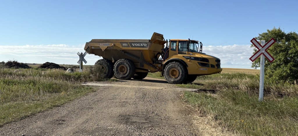
I thought I saw something out of the corner of my eye and I turned around to go back. This is one way to block unwanted traffic from your property:
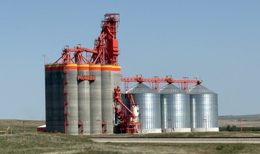
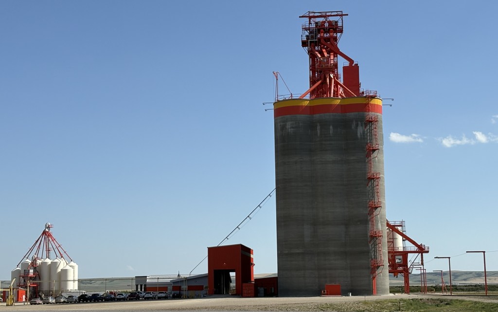
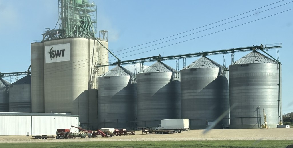
When driving through farmland like this it is not uncommon to find these in small towns which are located along railroad tracks:
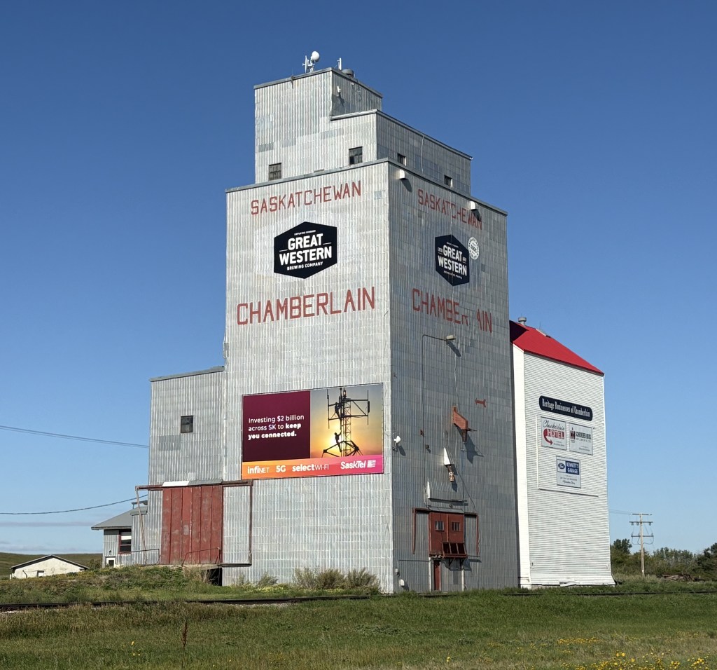
That is a much smaller version of a grain elevator, allowing local farmers to store their crops for transport by train to larger elevators elsewhere, and eventually to processing plants.
I spotted something else along the highway as I continued to drive northwest:
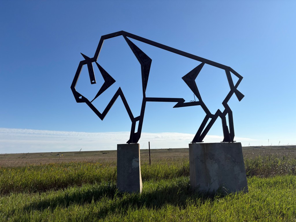
That hollow outline of a bison wasn’t very big. I practically had to get down on my hands and knees to get the desired effect of the blue shy behind it.
When I have driven through farmland in the US it is also not uncommon to find family farms with interesting names.
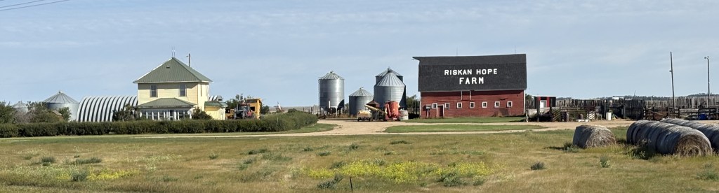
Kind of hard to read but the name on the barn is Riskan Hope Farm. I’m sure a lot of farmers would agree with than phrase.
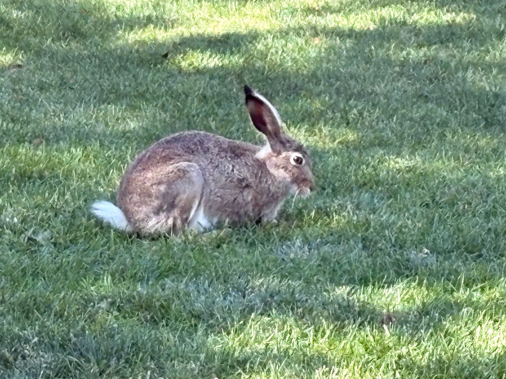
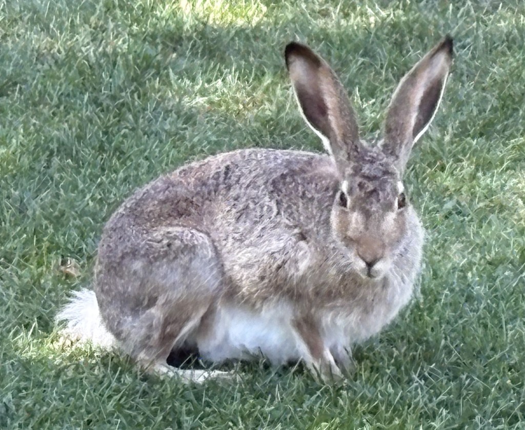
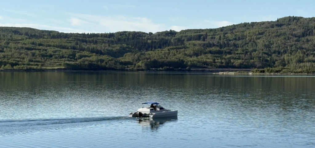
As I approached a lake next to the highway I saw a large white spot down near the water. I turned around and went back, turning in on an access road, and sure enough – it was a large flock of white pelicans, along with cormorants and ducks.
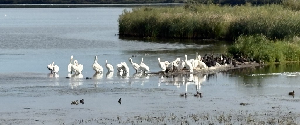
I’ve made posts about white pelicans in the past when I was in Colorado. They are huge birds, much larger than brown pelicans, and they behave differently.
I stayed where I was for quite a while and occasionally one would walk out in the shallow water, turn right, stop, and then take flight. It was almost like a jet taxiing onto a runway and getting permission to take off.
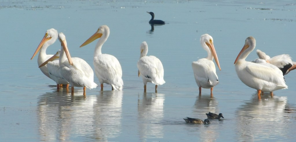
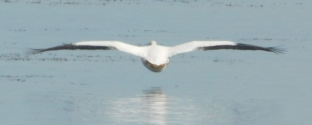
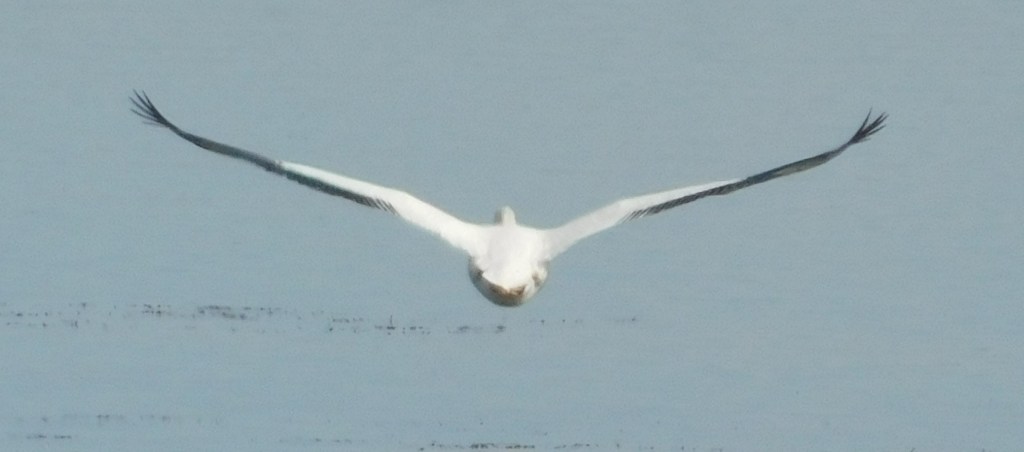
It happened several times while I was there.
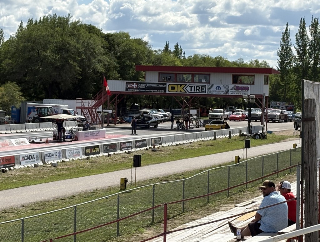
I continued on up the road and stopped again when I saw signs directing me to Saskatchewan International Raceway. I am a race fan but am not that familiar with tracks in Canada and certainly didn’t expect to find one with a lofty name like that in Saskatchewan. I pulled in and explained that I just wanted to go in and take a few pictures. It was a Saturday and it was obvious from the number and types of vehicles in the parking lot that something was going on.
Turns out it is a sanctioned IHRA (International Hot Rod Association) 1/4 mile dragstrip.
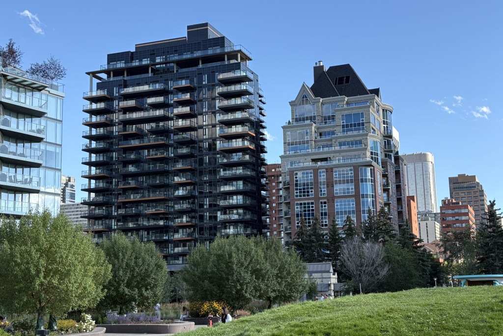
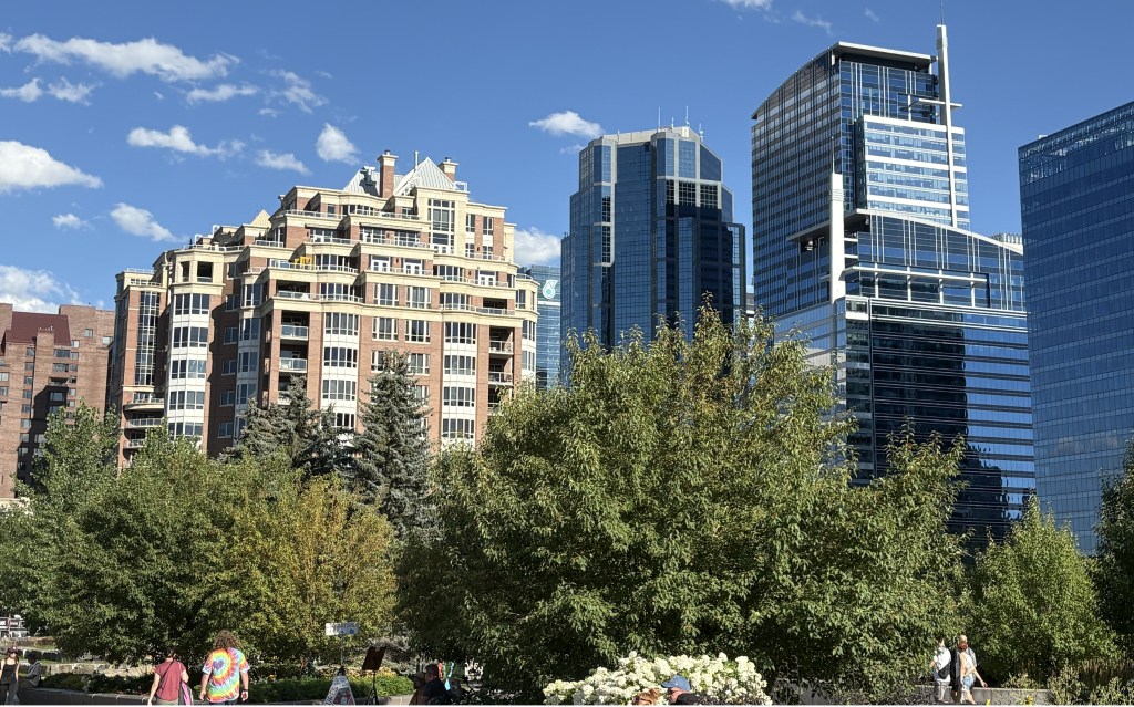
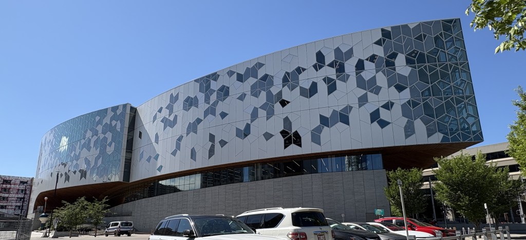
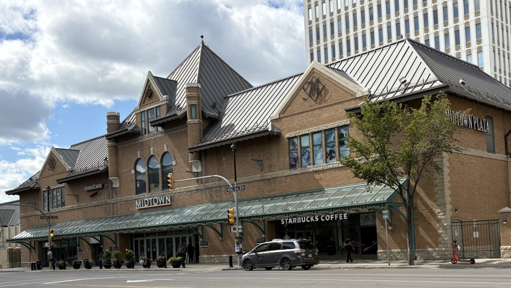
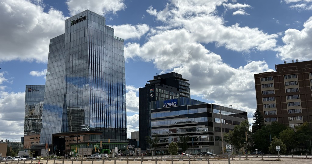
I finally arrived in Saskatoon and was kind of surprised to find a large, modern town (I hadn’t looked up the population before I got here).
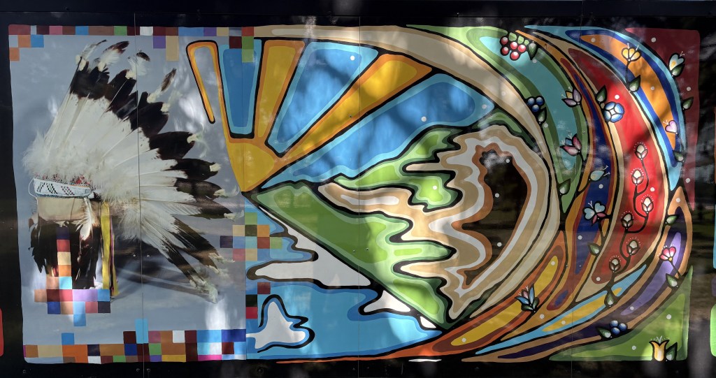
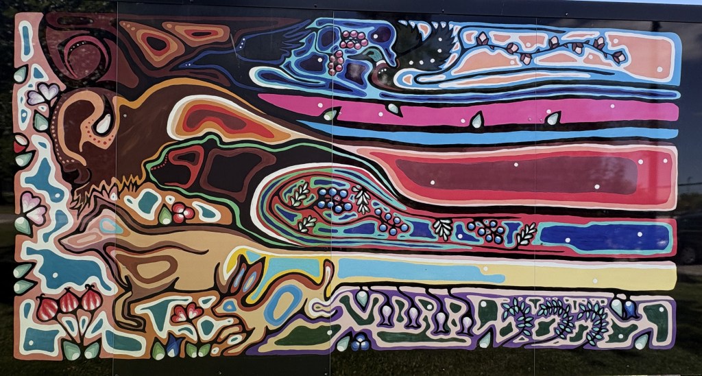
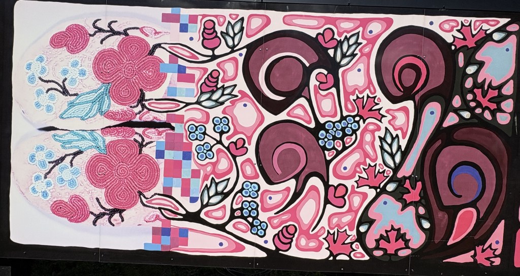
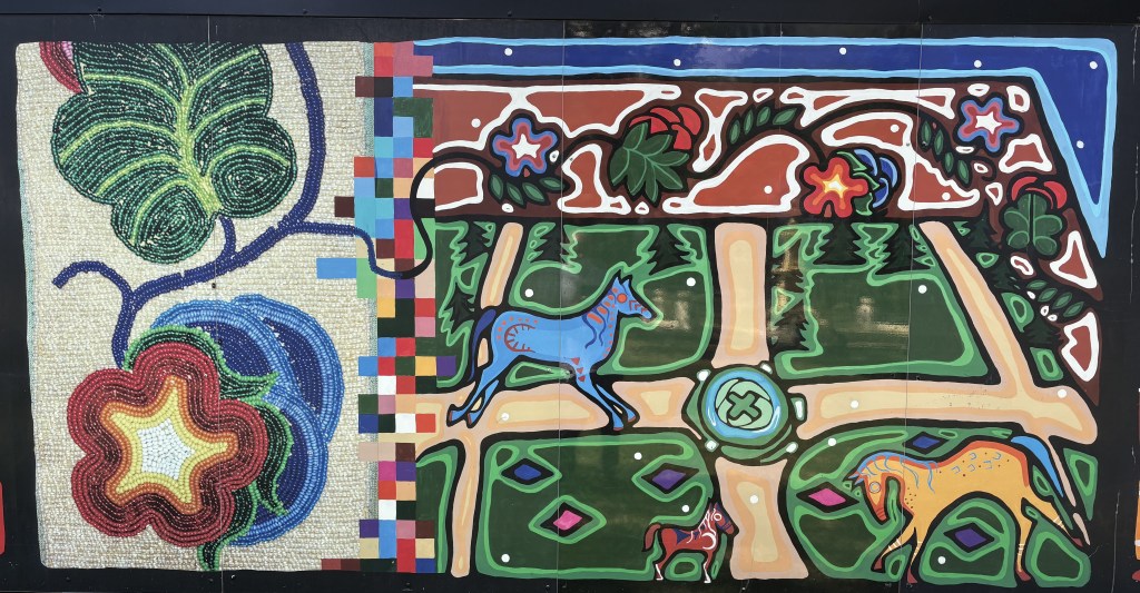
There were two huge murals right next to each other as I crossed a bridge into the downtown area.
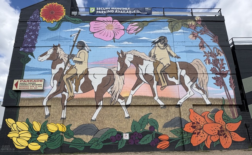
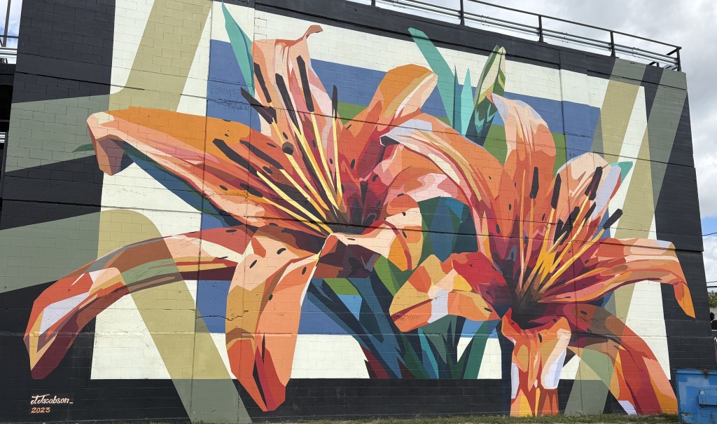
The red lily is the official flower of Saskatchewan.
I parked the car so I could walk around town a bit. I went to the Visitor Centre only to learn that it is closed on Saturdays (I’ve never understood that). I was able to get a city map in one of the big hotels in town.
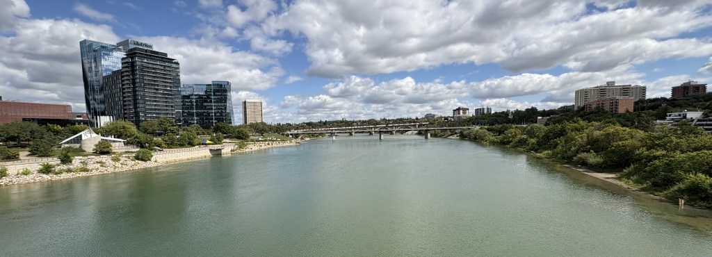
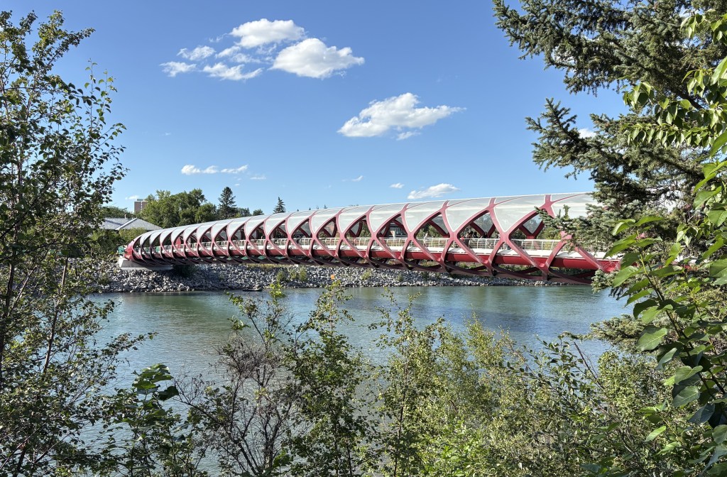
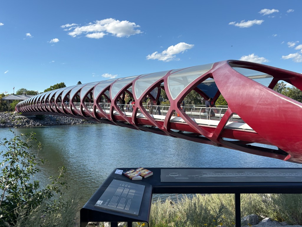
That is the view from the bridge I crossed coming into town.
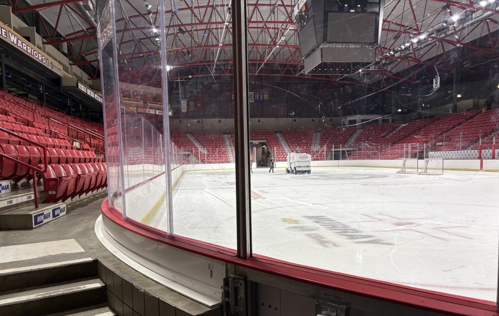
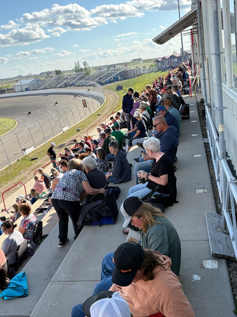
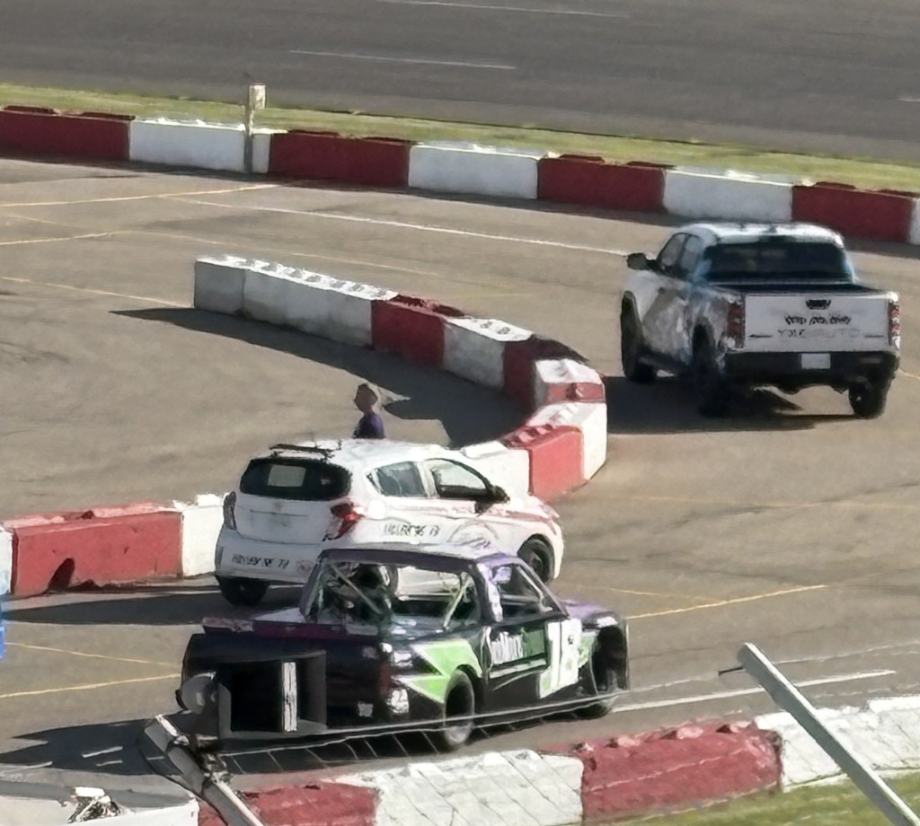
I saw a sign somewhere along the way advertising a racetrack a few miles north of town. Sure enough, there would be a race at 5pm so I headed that way to check it out.
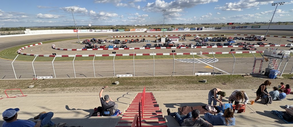
That is the Southerland Automotive Speedway (sponsored by a local car dealer) and is a 1/3 mile, paved oval with a seating capacity of a little over 3,300.
Afterwards, I drove back into town and had dinner. My Airbnb was in a nice residential neighborhood. The couple that lives there was away but had given me access to the basement apartment while they were gone. I headed there to make a plan for the next day.