August 16, 2025
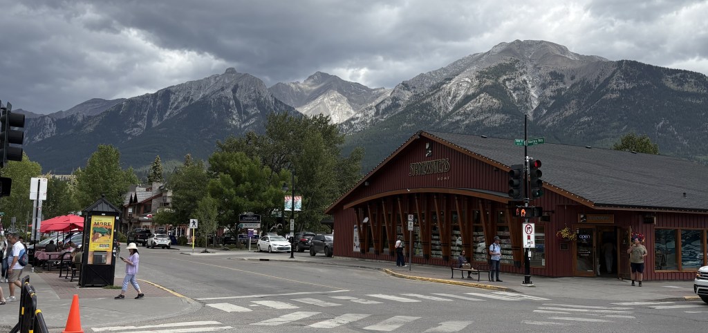
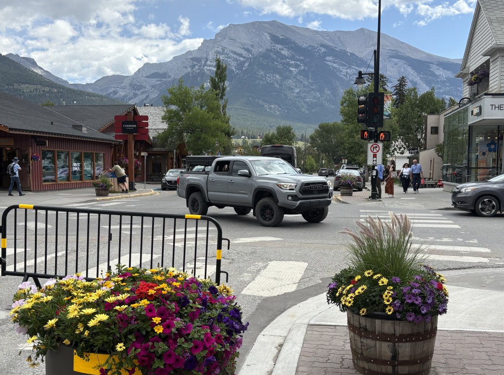
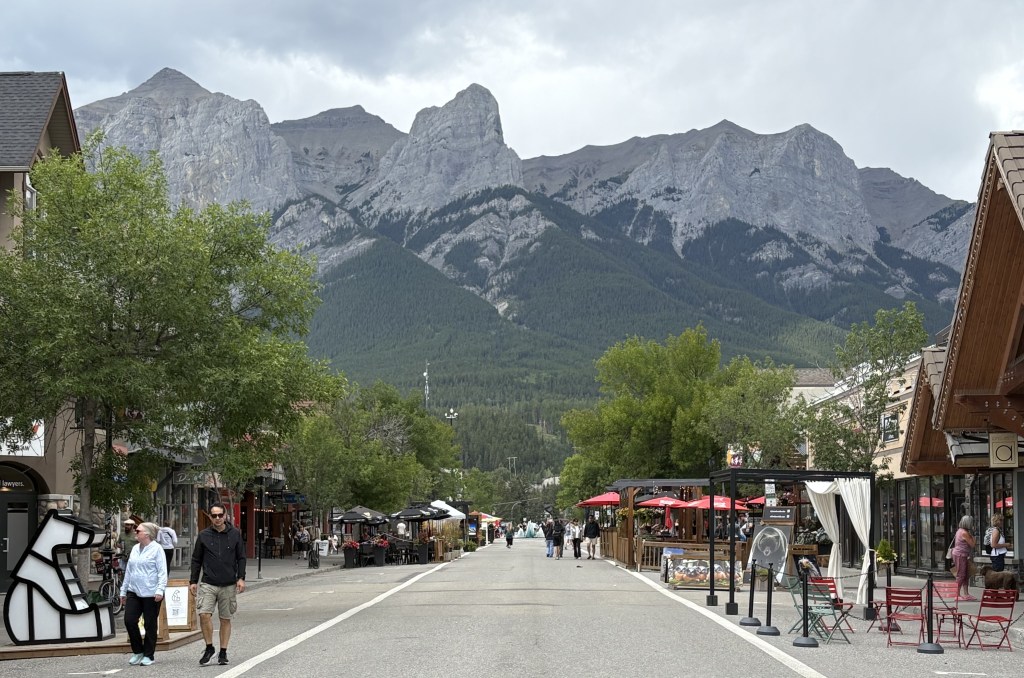
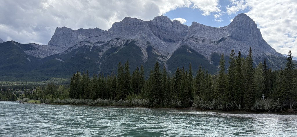
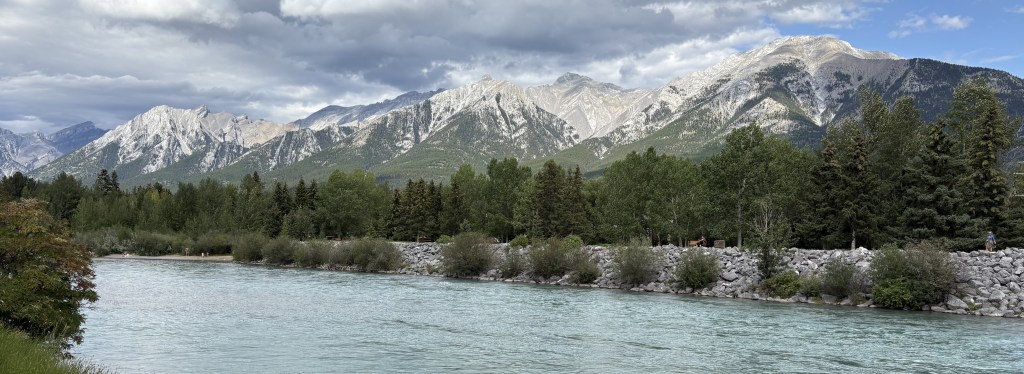
Yesterday it rained a good bit and I stayed put in Canmore. Before leaving Durham I had booked all of my Airbnb’s through and including Canmore. I now needed to make a decision about going further east, away from the Canadian Rockies.
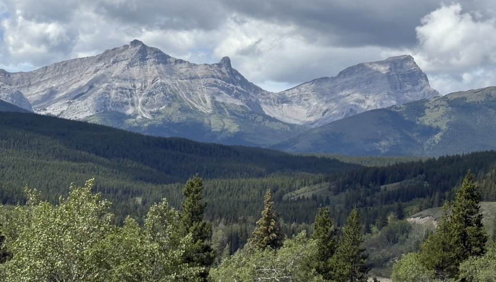
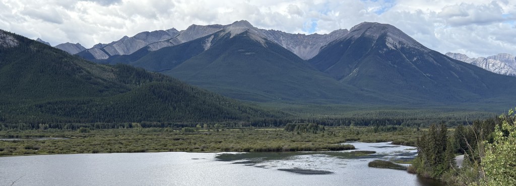
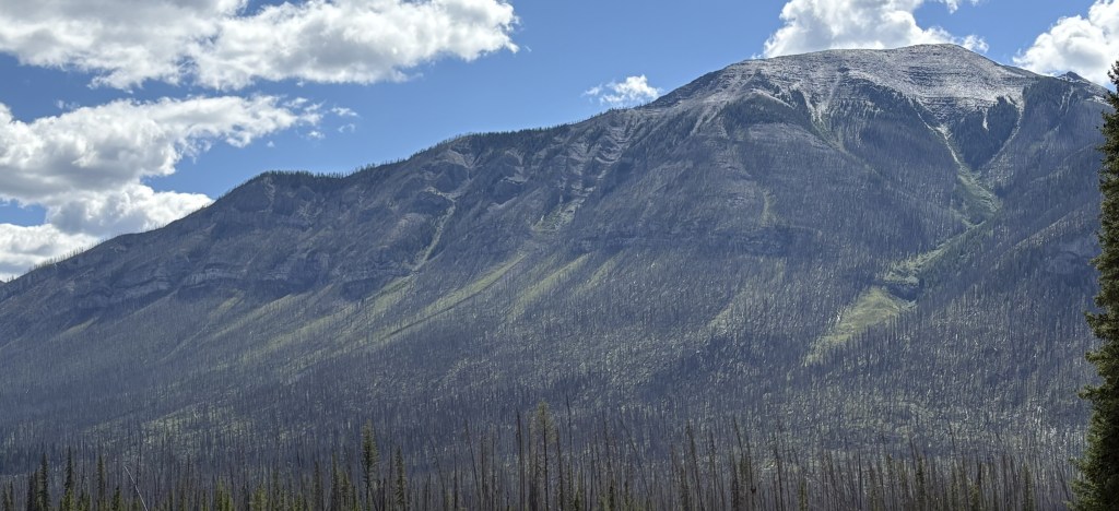
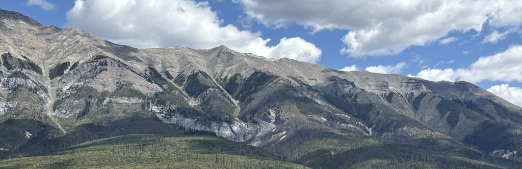
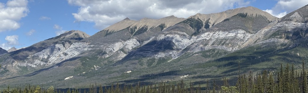
The largest wildfire in Canada in 2025 was in Manitoba province, which I was not planning to visit. I did, however, want to go further into Alberta province, and then continue east into Saskatchewan. They, too, were battling wildfires, mainly in the northern parts of their provinces. I was monitoring both the wildfires themselves and what the air quality in and between the towns I wanted to stay in was doing. I decided that with one exception, I would go ahead and book stays in several towns that I originally planned to visit. I cut down on the number of nights and went ahead and made reservations. I did not go to northern Saskatchewan (Prince Albert National Park) because the ongoing fire near there was still burning and the air quality was not good. The air quality in the other towns had improved from unhealthy to acceptable, though some smoke would catch up with me later in my trip.
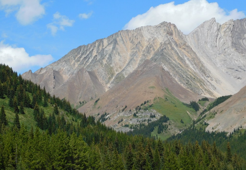
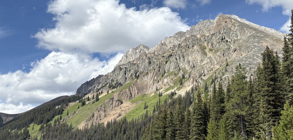
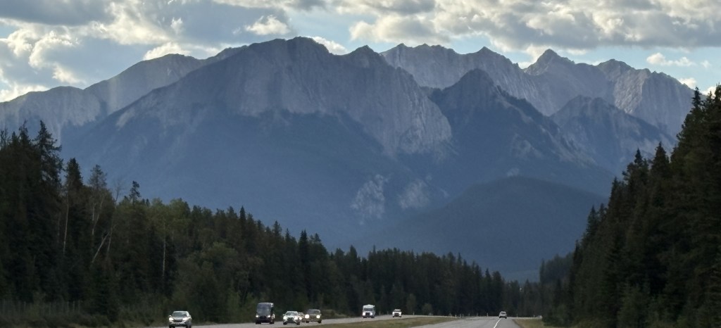
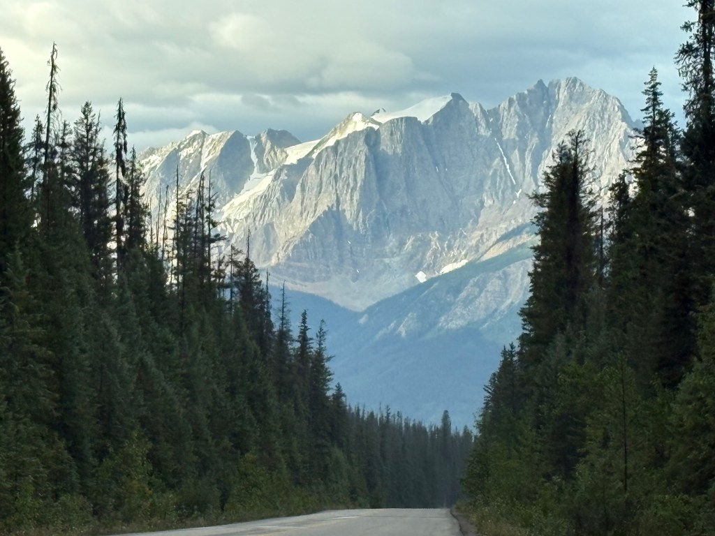
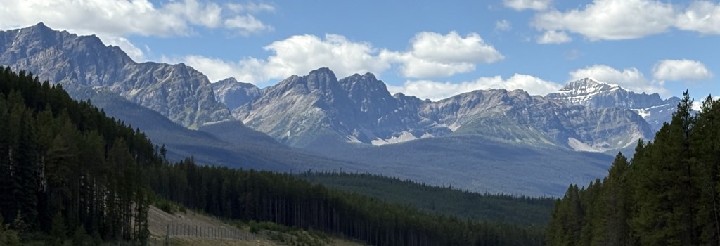
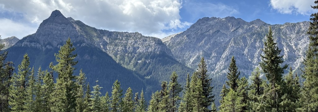
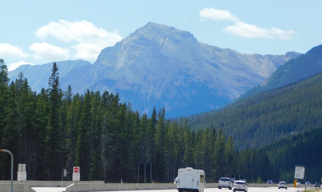
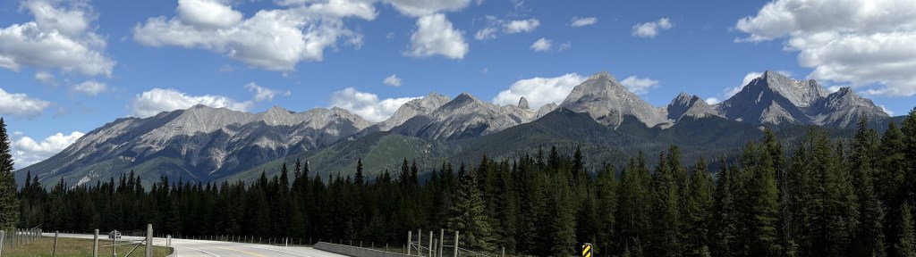
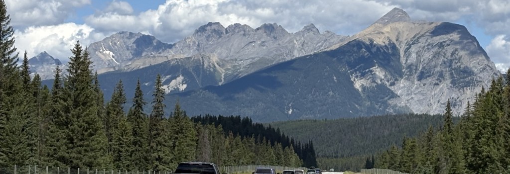
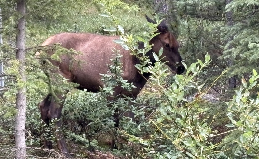
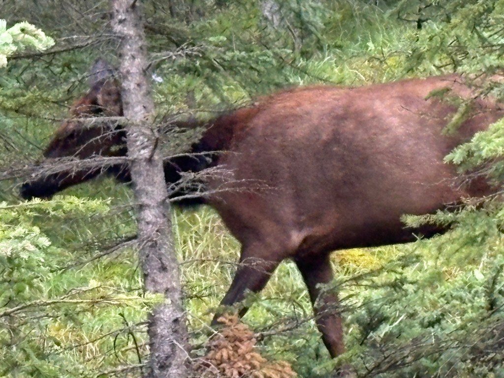
Having done that, today I drove back up to Banff. The rain was still in the area but it was not a washout. Light rain continued off and on all day but I tried to get out and see more of Banff. I drove up high above town to where the Banff Upper Hot Springs are, as well as the Banff Gondola. I could not drive all the way to the Hot Springs because I didn’t have a reservation there. The Gondola was not yet open, and given the cloud cover I wasn’t optimistic that I would see anything from it anyway. As I started driving back down into town I saw a lone cow moose walking along the road. She turned to walk up into the woods but I was able to take some pictures of her.
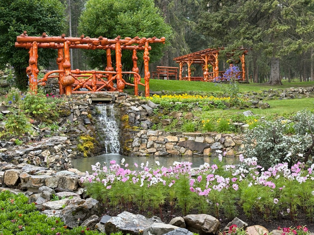
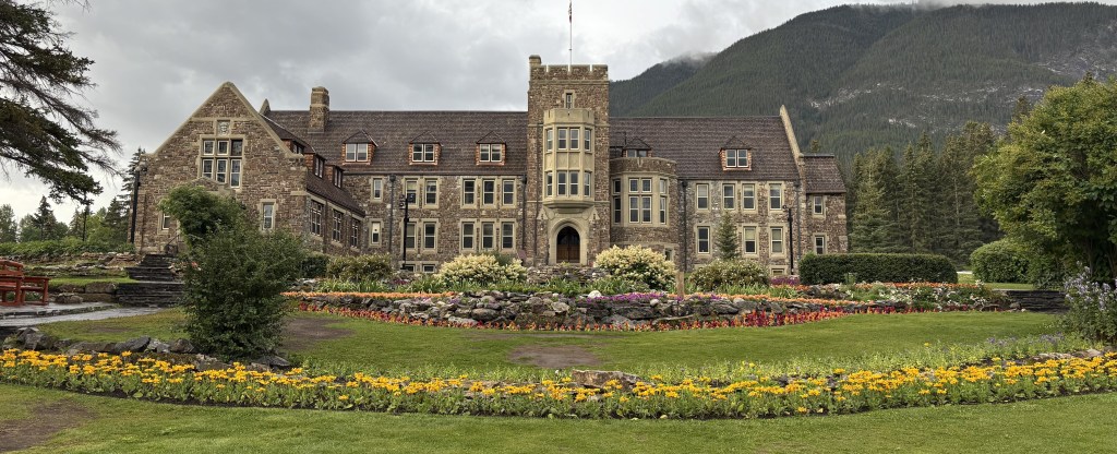
I continued on down the hill and parked at the Cascade of Time Garden. It is behind a big building which I believe is used for Park Administration.
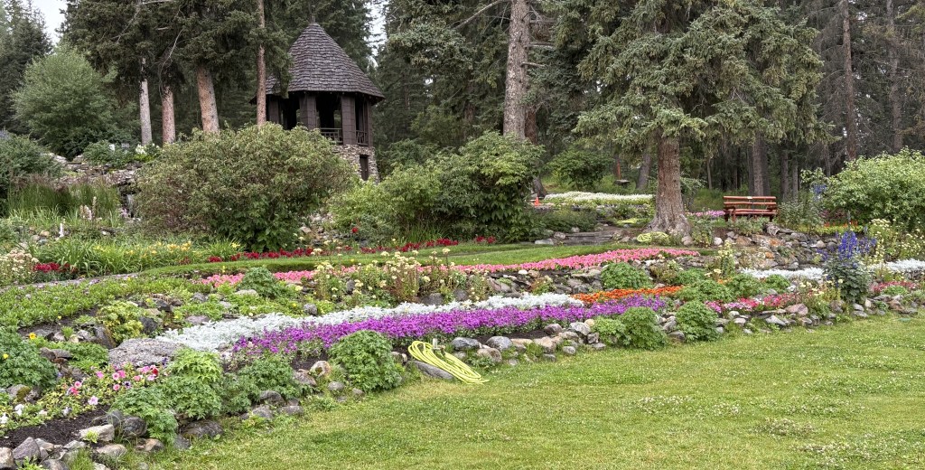
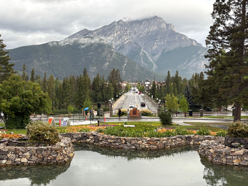
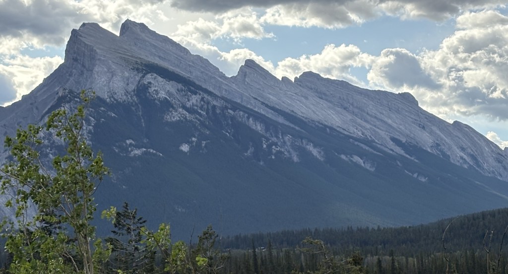
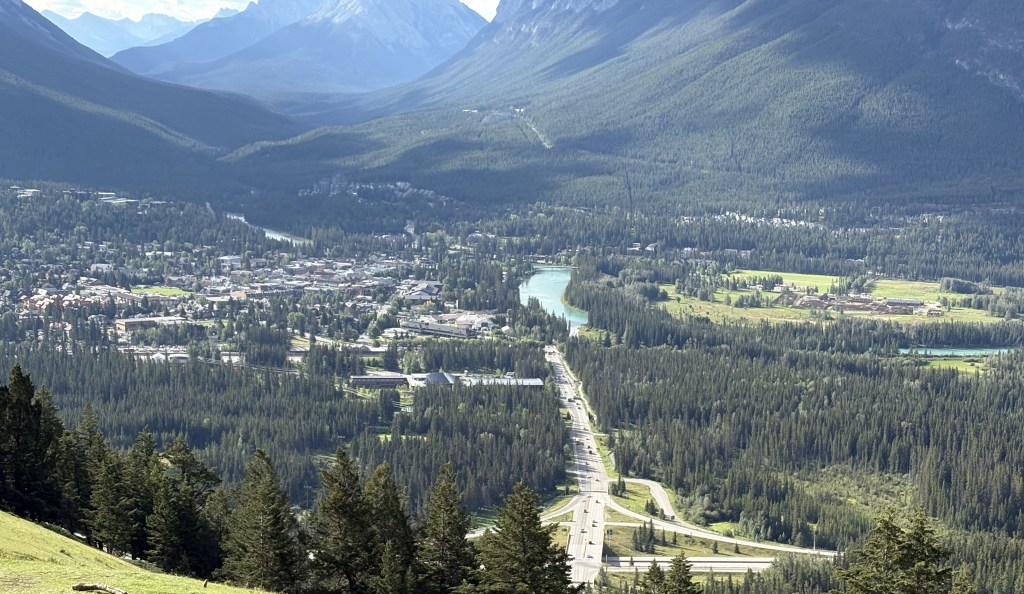
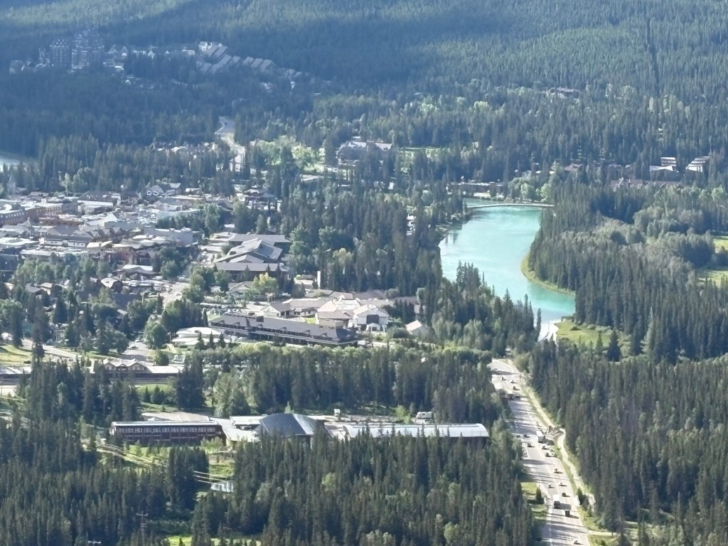
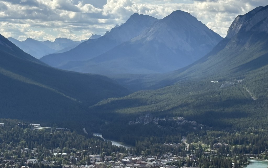
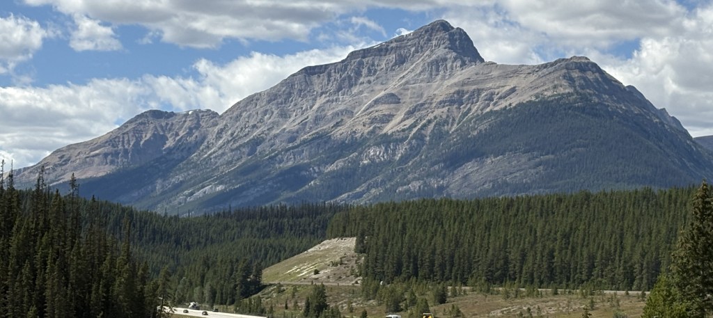
That is the view from the front of the building looking across the bridge over the Bow River and down Banff Avenue, the “main street” of Banff. The mountain in the distance is Tunnel Mountain.
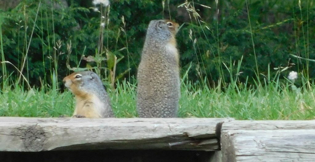
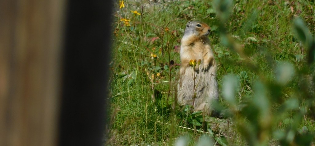
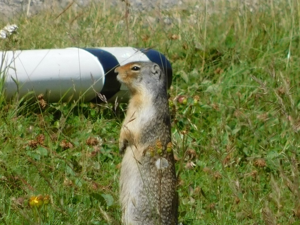
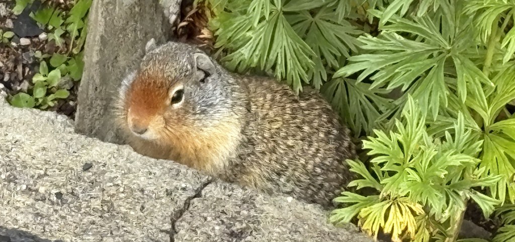
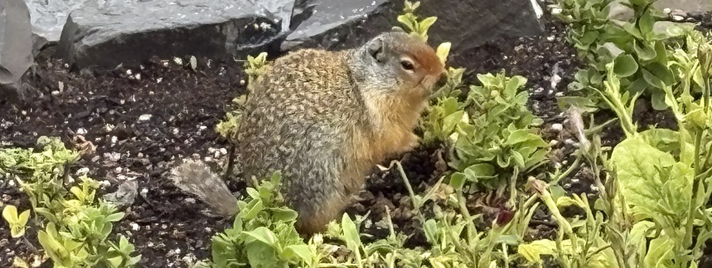
This is yet another marmot. I spotted it as I walked around to the front of the building. I stood very still after he ducked down into a hole near the sidewalk and after a short wait he reappeared.
I figured I’d leave him alone and walked down to the very front of the property to take a photo of the building.
About this time I saw a large tour bus pull in and start unloading passengers. I walked back up to where I had seen the marmot and he was still there, roaming amongst the flowers.
I went back to my car and drove to the Fairmont Banff Springs hotel. I had to park on the street behind the hotel and managed to find a way up a set of stairs on the side of it. I couldn’t get a good shot of the hotel itself as I was too close to it, and I would have needed a key card to open any of the entrance doors.
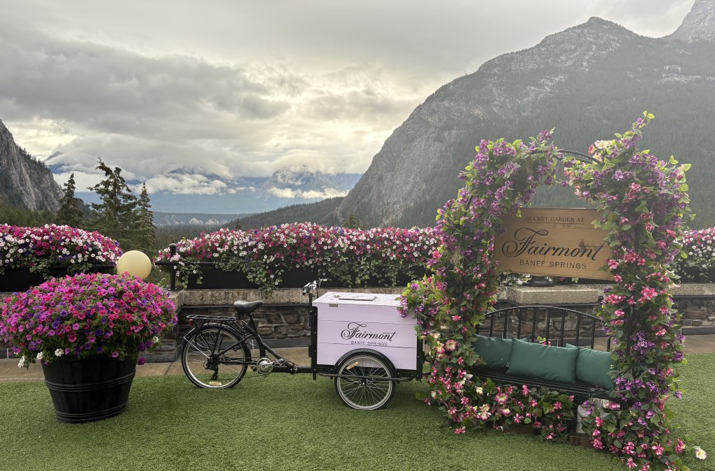
I knew I would be able to take a good picture of the front from one of my next stops so I walked back to my car and drove downtown.