September 6, 2025
After spending two nights in Valemount I would head back east, through Jasper National Park for the last time – this time going west to east on Hwy 16. I would continue on that road to the town of Hinton where I would turn left and head northwest on Hwy 40 to the town of Grande Prairie, Alberta where I would spend two nights. Total travel time was projected to be about 6 hours, roughly the same amount it took me to get to Valemount from Red Deer.
The reason I had come to Valemount was to see Mount Robson, the tallest mountain in the Canadian Rockies. I knew I wanted to see it the first time I drove up to Jasper but got sidetracked with checking out the wildfire damage, and then had a long drive back to Golden. When I got to Valemount one of the first things I asked my Airbnb host was “Where is Mount Robson?”. He said “You drove right past it on your way here”.
I felt kind of silly driving past the tallest mountain around but to my defense, my sightline was blocked by trees as I drove on the highway very close to the base, and there may very well have been clouds obscuring the top. When I drove in the opposite direction today there was no way I would miss it.
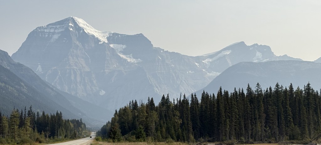
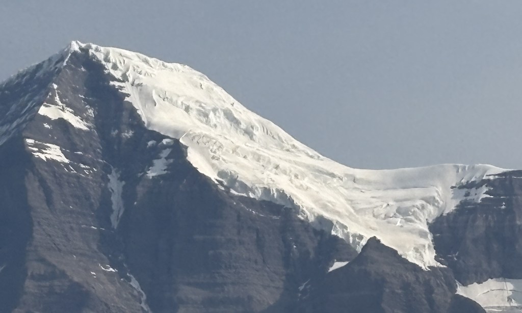
THAT is Mount Robson, with the peak reaching up 12,972 feet. And at that altitude there was most certainly a glacier up near the top.
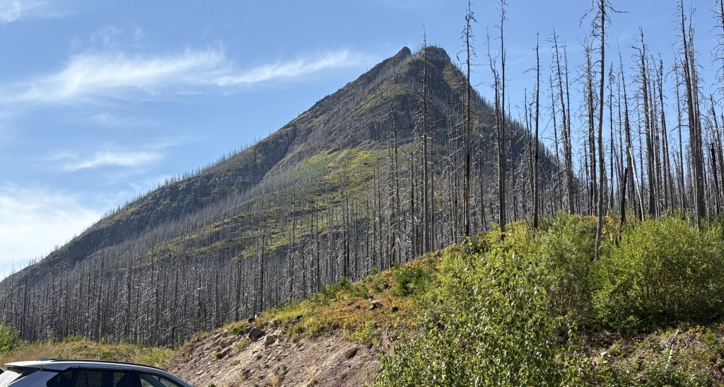
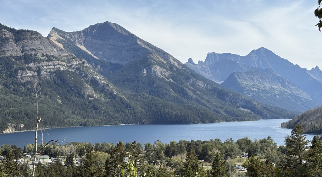
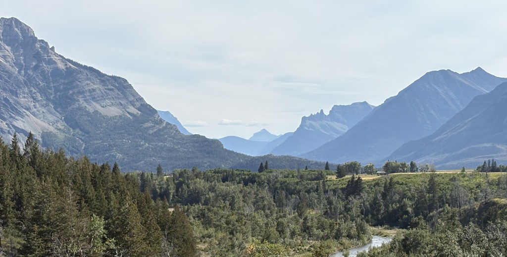
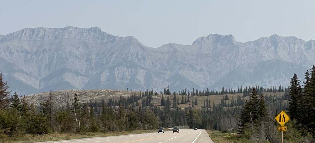
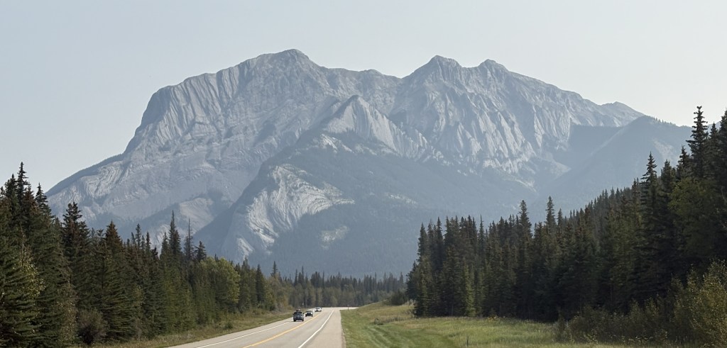
I continued on towards Jasper National Park. The visibility was not any better at far distances than it was on the way west.

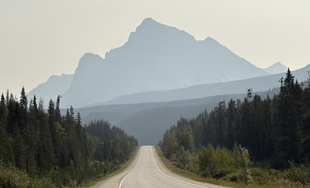
But the further east I went it improved quite a bit.
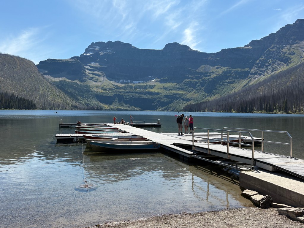
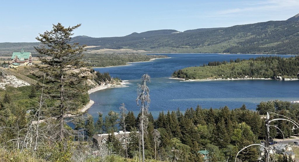
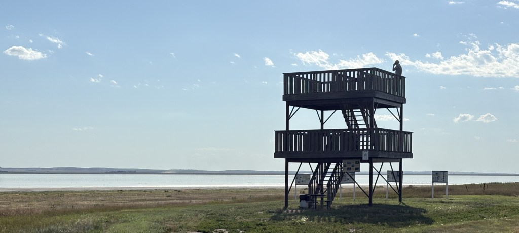
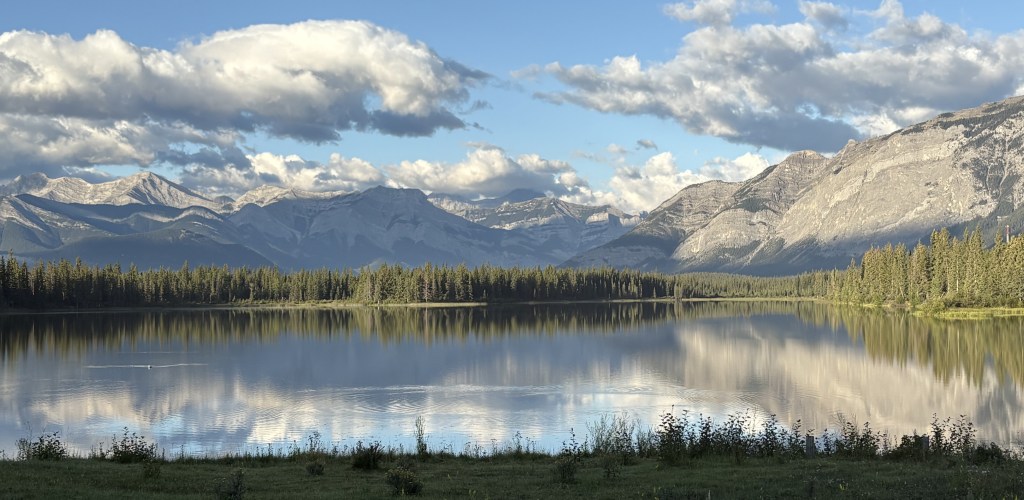
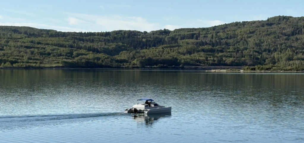
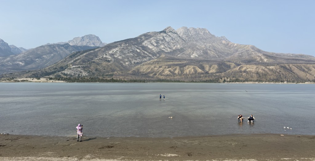
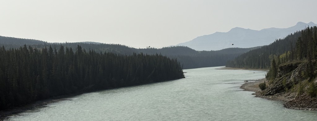
After passing through the town of Jasper I was now covering new territory. This is a large, shallow lake east of town.
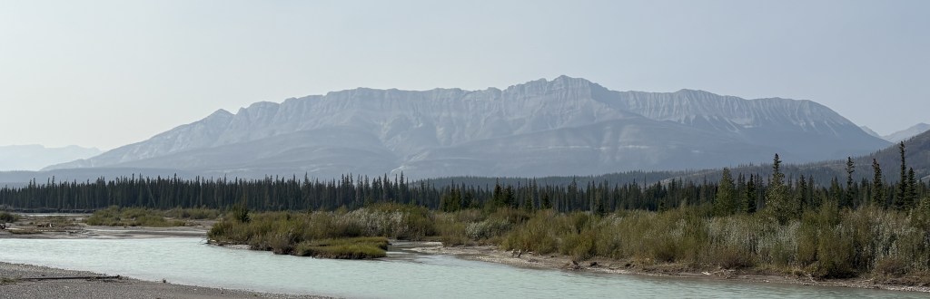
Once I reached the town of Hinton I turned left onto Hwy 40 and crossed a river.
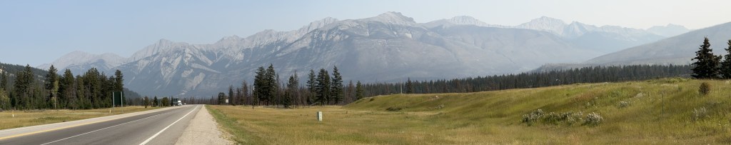
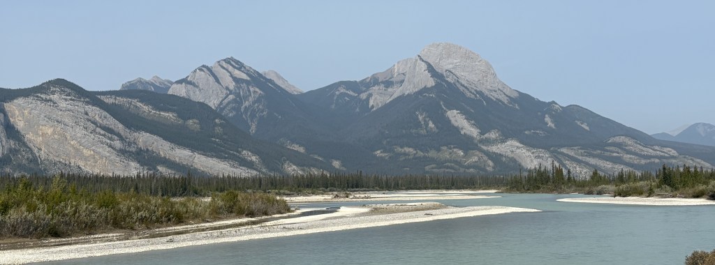
The area near the highway really opened up after that and there were smaller mountains and lots of open spaces. At one point I passed this handmade sign:
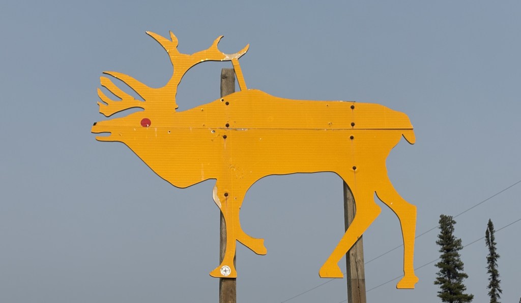
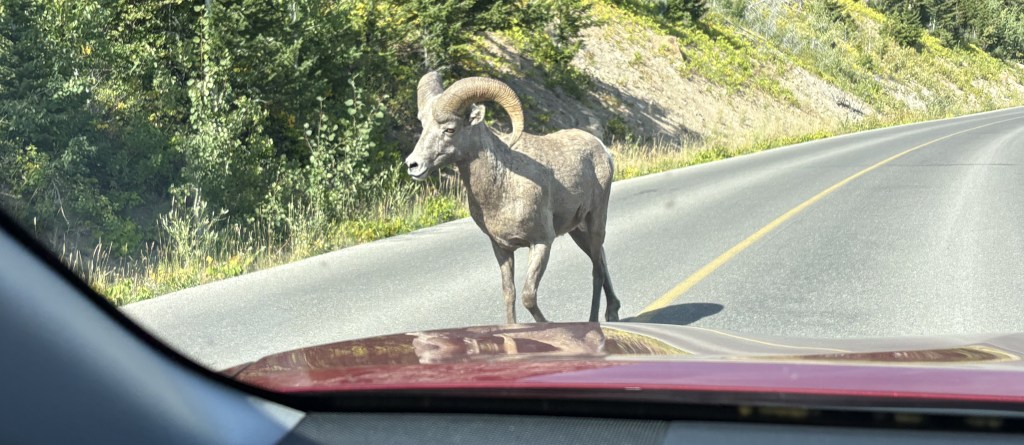
And shortly after it there was another. It wasn’t until I stopped at a small Visitor Centre in a town further up the road that I was told those two signs represent caribou, and there is a local herd of about 100 that live roughly between them. Later in my trip I would see the normal metal highway signs in various places warning me of caribou, but I never saw any.
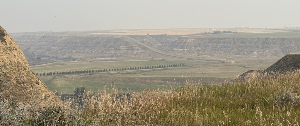
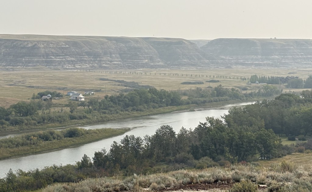
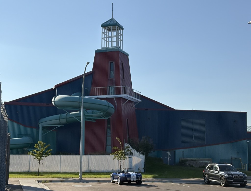
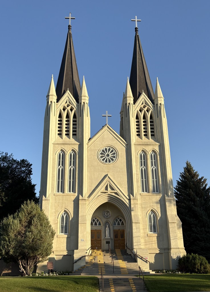
The rest of my trip to Grande Prairie was uneventful and I had a quiet day there doing laundry, visiting several small city parks, and doing a much needed cleaning and rearranging of the interior of my car and the trunk. I would soon be heading to Alaska and figured I was probably running out of nice warm days.