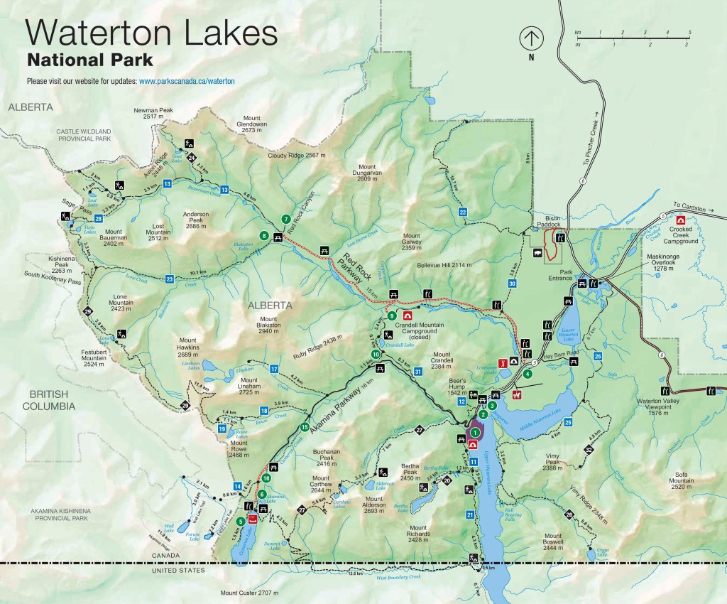
Lethbridge, Alberta

August 28, 2025

After having visited Waterton Lakes National Park yesterday I had returned to my Airbnb in Lethbridge to spend my first night here. Lethbridge is the 4th largest town in Alberta province with a population of just over 100,000. People who live here are called Lethbridgians or, are you ready for this, Lethbians.

Today first place I went was the Paradise Canyon Golf Course, as it was listed on TripAdvisor as being a good place for photo ops. Well, it is in a nice canyon but it is a golf course (duh) so I didn’t spend much time there.

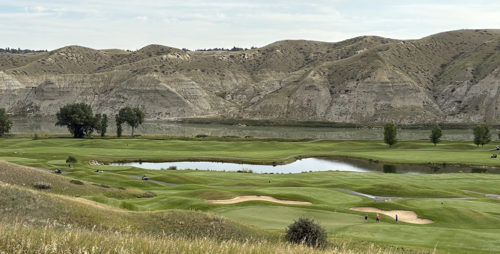
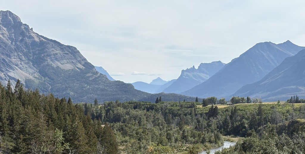
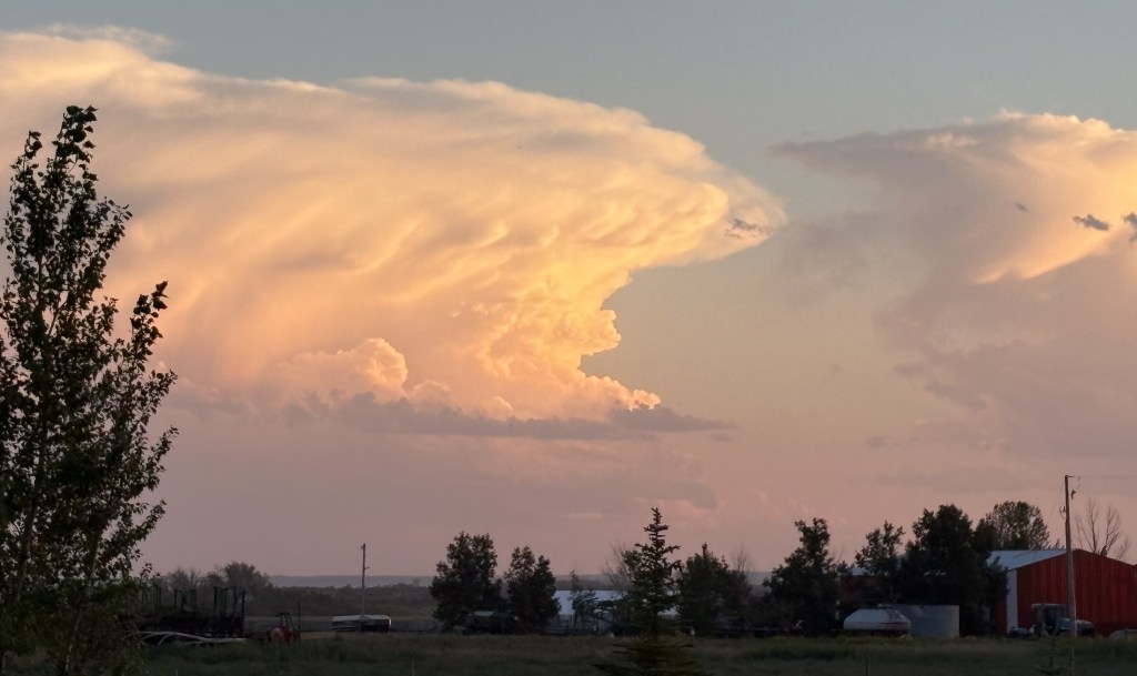
Running alongside it, in this long coulee, is the Oldman River which you will hear more about in a moment.

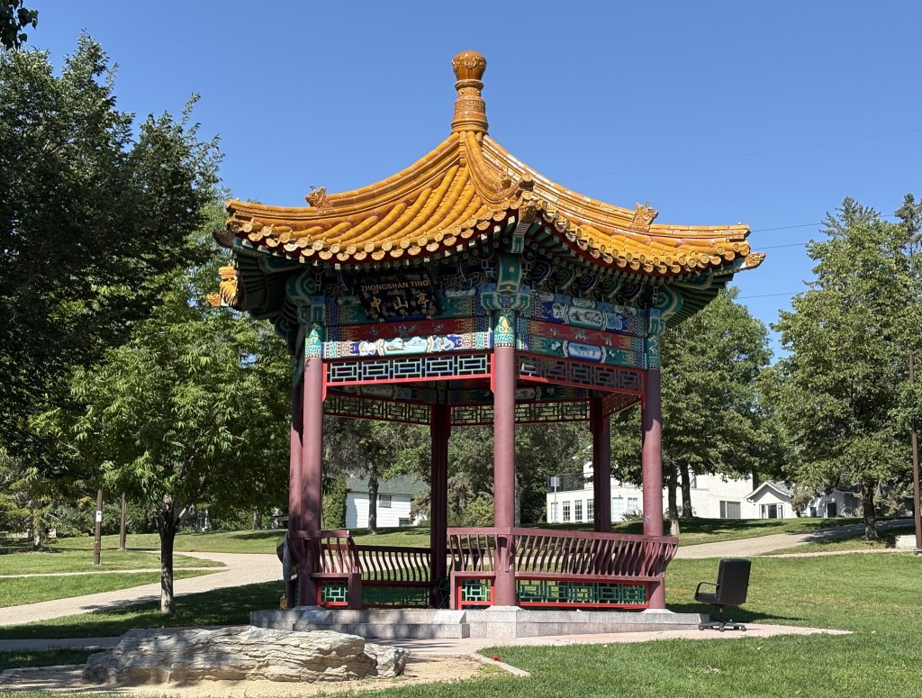
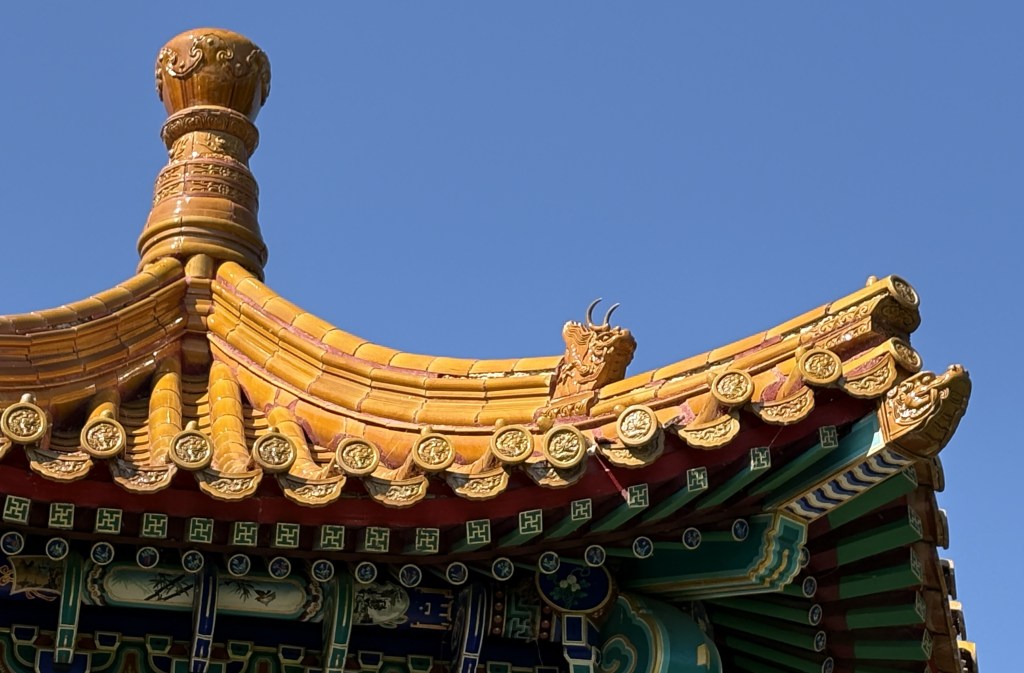
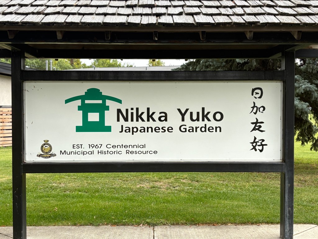
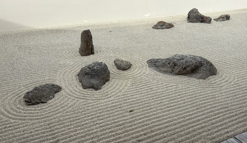
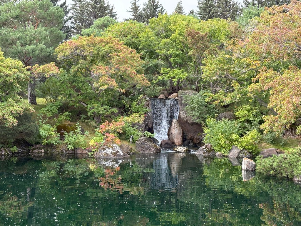
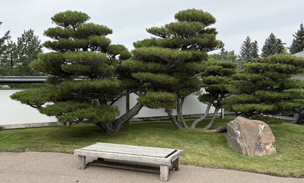
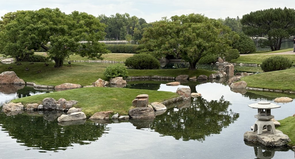
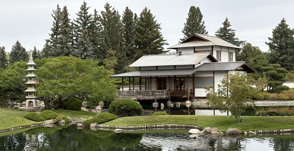
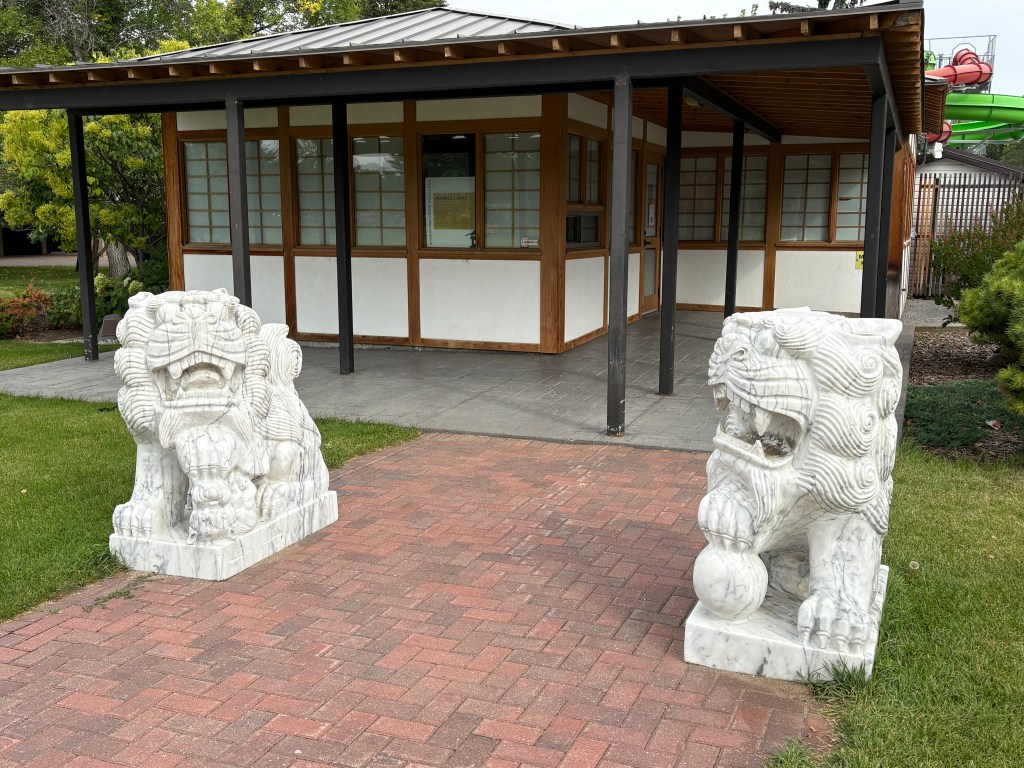
My next stop was the Nikka Yuko Japanese Garden, which I had passed as I was driving into town yesterday.

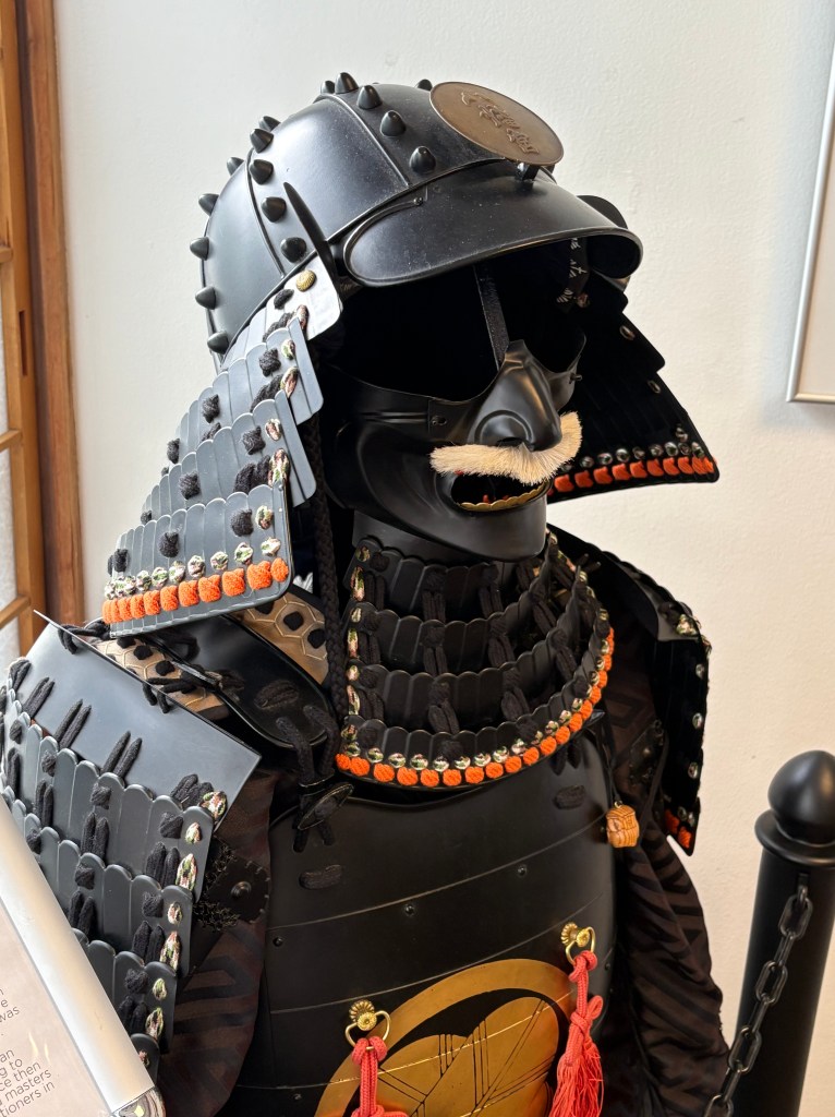
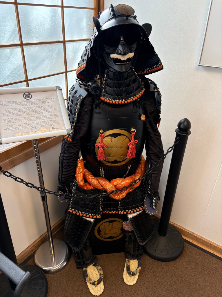
No, that’s not a Japanese Darth Vader. It is authentic samurai armor.

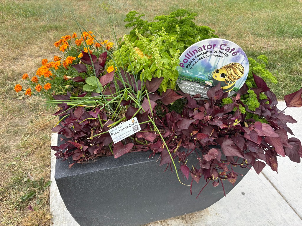
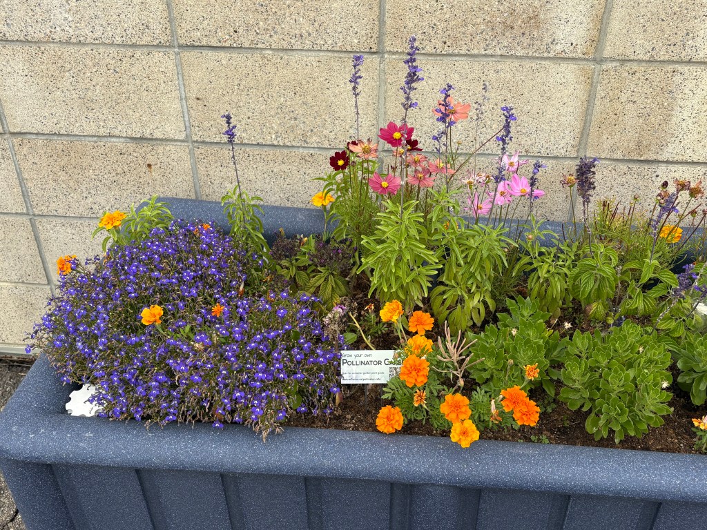
After that I drove to the Helen Schuler Nature Centre. I was greeted by this sign:

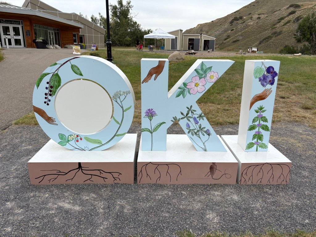
Oki is an indigenous Blackfoot word meaning hello, or welcome.

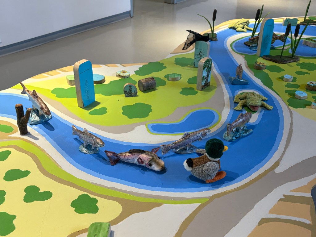
Most of the displays in the Centre seemed to be targeted at kids, though there were numerous messages scattered about clearly directed at adults.

The building did have a rooftop deck which was promoted as having a variety of plants, but I can’t say as I was terribly impressed (they weren’t flowers so much as herbs and non-flowering plants). It did, however, give me a great view of another local landmark – the Lethbridge Viaduct, or as is called locally, the High Level Bridge. I had driven under it to get to the Nature Centre.

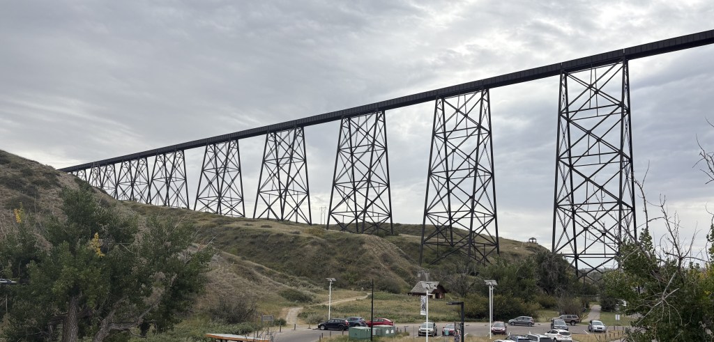
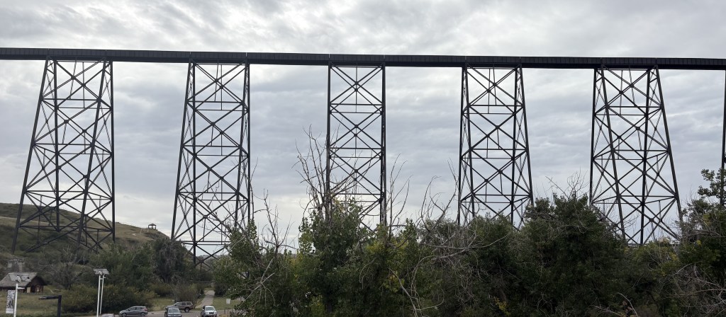
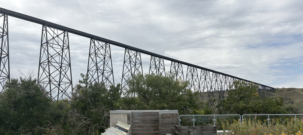
It was completed in 1909 by the Canada Pacific Railway and is the longest and highest railroad trestle in the world. It spans the Oldman River and reaches a maximum height of 314 feet. At 5,327 feet it is just over a mile long. It is still in use, and I did see a long train traveling over it later in the day.

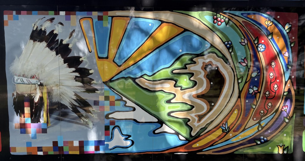
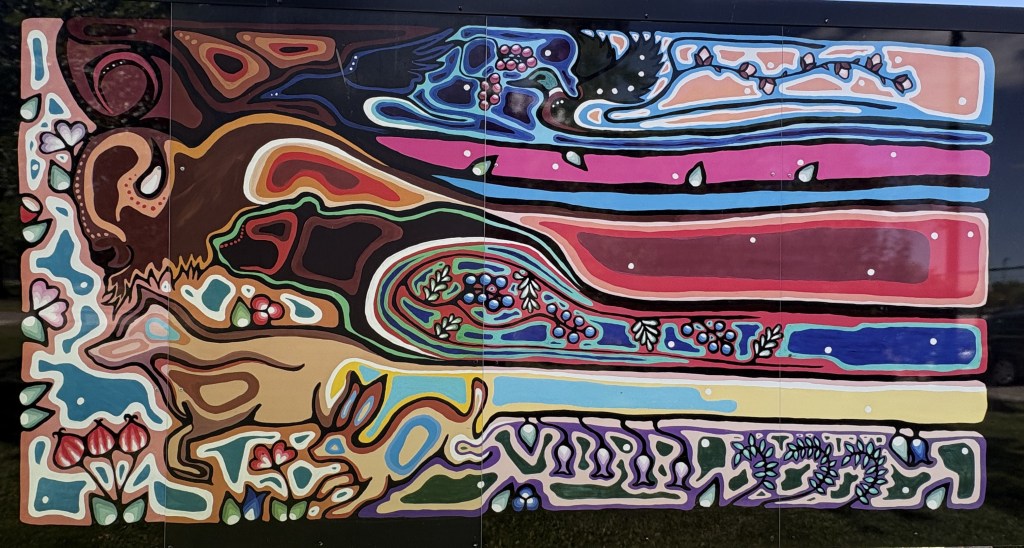
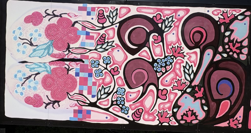
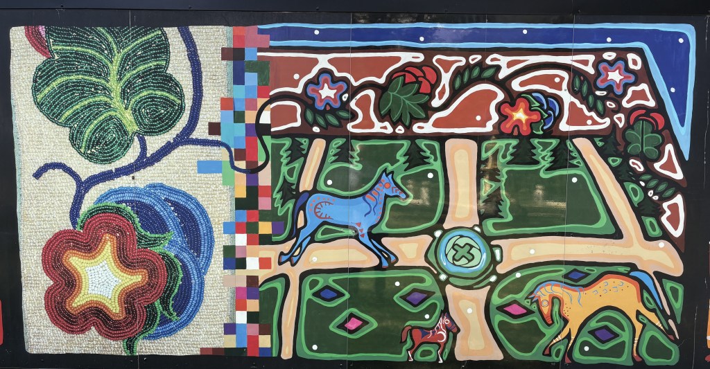
I drove to a wetlands/nature preserve in another part of the coulee. I walked along a series of paths and on a pier-type walkway, hoping to see some critters but I did not. I then drove downtown as I had picked up a brochure touting a mural contest with some pretty clever entries, but it must have been dated as I only found one – painted on an electrical box in a big city park. The map I had showed lots more…

I got a little uncomfortable as there seemed to be lots of rough looking people hanging out in the park, and there was an obvious police presence, so I decided to go back to my Airbnb and do some trip planning. I had improvised visits to Medicine Hat and Castlegar (my next stop) but needed to look at my maps and plot out some more stops in British Columbia and Alberta and start planning my route to Alaska!

Waterton Lakes NP – Part 2 of 2

August 27, 2025

(Photo credit: Parks Canada)

After I arrived at the hamlet of Waterton Park I turned right onto Akamina Parkway to traverse the 10 miles out to Cameron Lake.

This is the part of our program where I tell you about the wildfire in 2017. It was started by lightning and began outside the Park but worked its way south and consumed roughly 39% of the trees in the Park.

There were several parking lots where visitors could leave their vehicles and hike. I finally arrived at Cameron Lake.

And looking left and right from the pier you can see the damage to the distant trees caused by the wildfire.

As you look straight out across the lake the mountain you see at the far end is actually in the United States, as is a small portion of the lake itself.

There was a large parking lot and a building where visitors could rent canoes and small boats to go out on the lake, and I imagine earlier in the summer swimming might be popular as well. There were rangers available to answer questions or give directions to visitors.

I stood and spoke with some of the other visitors before I left and was surprised to see a small deer calmly walk out of the lake:

I started driving back towards the village.

In the photo above you can see the Prince of Wales Hotel on the left, a small part of the village below and to the right, and parts of both Upper Waterton Lake (near) and Middle Waterton Lake (distance).

In the photo below you can see more of the village at the bottom of the frame and more of Upper Waterton Lake which continues south, well into the United States.

After descending down into the village I would start driving back towards the Park entrance, but encountered this lone bighorn sheep casually walking up the road before I got all the way down the hill.

There was no one behind me so I stopped in the road and put my hazard lights on. My next thought, after not wanting to get run into by another vehicle, was “do sheep with horns react to red cars like bulls might??”

Evidently not because he walked right past me without a care in the world.

When I got further up the road I turned left on Red Rock Parkway to check out that side of the Park. Some of the campgrounds and trails along that road were still closed as a result of the wildfire.

I must say I was very impressed with this Park and am glad some people convinced me it was worthwhile to visit after I had almost talked myself out of it.

Waterton Lakes NP – Part 1 of 2

August 27, 2025

I headed out early from Medicine Hat because I had a busy day ahead of me. My next stop would be Lethbridge, in southern Alberta, but today’s journey would take me well beyond that to Waterton Lakes National Park, in the southwest corner of Alberta, where it lies against the Canada/United States border. In fact, if you hike or travel across the border you will find yourself in Glacier National Park in Montana.

I have previously referred to this Park by two other names – just Waterton, though Lakes is technically part of the name, and Waterton Peace Park, which isn’t correct either. Within Waterton Lakes NP is the Waterton-Glacier International Peace Park, a World Heritage site. All of that was kind of rattling around in my brain and I wish I had done my due diligence and researched the Peace Park part as I would have liked to go see it.

I came very close to not even visiting this Park at all. I knew it was here, and that I would pass by close to it, but several people along my route told me they didn’t think it was worth seeing. The consensus seemed to be “If you’ve seen the US Glacier NP (which I have) then there isn’t much to see at Waterton Lakes”. Now that I’ve been here I couldn’t disagree more, especially if you’re a hiker.

Getting to Lethbridge would take me a little less than two hours. I stopped for maps and brochures at the Visitor Centre and then set out for the Park, which would take me about an hour and a half more. I will go back to Lethbridge to spend the night, and will post photos from there tomorrow.

Getting to the Park would be a very pleasant drive on Hwy 5, through lots of farmland and small towns. I had been in relatively flat Saskatchewan and Alberta and would now be heading back into the southern tip of the Canadian Rockies.

It didn’t take long to start seeing big mountains ahead of me.

The mountains in the two photos above look very similar, but it appears that the two “pyramids” are now further away from the larger, “rectangular” mountain as I evidently had traveled further north and was now looking at them from a different angle. That is one thing that really plays games with my mind because as I drive the view of some mountains I see looks different as I get further down the road and pass by them.

Even after having been to the Park it is difficult for me to determine which of these mountains are in the United States and which are in Canada.

The small lake shown above is Maskinonge Lake, and is located at the point where Hwy 5 would turn left and become the access road into the Park itself. On the map below you will see the road I was coming in from on the right.

(Photo credit: Parks Canada)

The next lake I would see after the entry gate is Lower Waterton Lake:

And the next one would be Middle Waterton Lake:

Perched on the hill above this lake is the Prince of Wales Hotel:

I wasn’t allowed to park and get better pictures of the hotel from their parking lot because I was not staying there, but it is a very impressive building.

Shortly after that I came to a small hamlet of Waterton Park which apparently had about 200 private residences but seemed to be more about restaurants, hotels and gift shops. Hwy 5 ends in the village.

Photos of the rest of the National Park will continue in the next post.

Medicine Hat Curling Centre

August 26, 2025

On my second day in Medicine Hat I had an appointment downtown. I had tried to visit curling clubs in a few other towns in Canada but discovered most of them were not open in the summer (it IS a winter sport, JohnBoy…). Well after wasting time in Saskatoon driving to two different clubs I called ahead to see if the facility in Medicine Hat might be open. The phone was answered by the General Manager, Bryden Smith, who was in his office doing paperwork. He said I was welcome to come down and he would give me a personal tour!

It was in a large, ordinary building which I had actually driven past several times. I met him at the arranged time and the first thing he explained was that they were just now preparing to reopen the facility after it had been shut down for two years. Curling required a very precise surface and 2 years ago they had problems with the foundation under the “sheet,” or surface of the ice. They had to rip up the flooring and redo the foundation under it and were just getting ready to put down new equipment needed to maintain the ice surface.

Bryden took me to a second floor observation area overlooking where the sheets, or playing area, would be. There was a bar and restaurant along with tables for members and guests to gather. It also had an area for club trophies and photos.

The rolls you see above are made of flexible tubing which will cover the entire surface of the floor and will circulate a brine solution to freeze the water which is then sprayed on top of it. There will be 8 “sheets,” or lanes, used for competition. This facility used to have 12 sheets but with the problems that developed they decided to downsize to 8 and put up a wall to convert the other part of the building to a fitness center for the town.

Players glide stones, or “rocks” down the ice hoping to stop them in the center of the “house,” or target, at the other end of the sheet. Multiple rocks are thrown during an “end,” or inning, and strategy comes in to play as players try to knock their opponent’s rocks out of position or try to help move their own player’s rocks to better positions.

Rocks are made of granite and can weigh between 38 and 44 pounds. The handle is used to launch the rock and give it a subtle twist, or curl, just before releasing it. Each team uses a different color. Two players with brooms called “sweepers” accompany the rock towards it’s destination and, if needed, can use their brooms to try and influence the trajectory and speed of the rock (without touching it).

I believe it is a very misunderstood sport, and requires much practice and precision. Think of it as bowling, but with a heavier ball and a longer lane, and you need the ball to STOP where the 5-pin is. Oh, and all of this is done on ice. Players wear special shoes – one a “slider” which, as the name implies, enables them to slide on the ice, and the other, a “gripper” which gives them traction to change direction or stop.

Curling has it’s own vocabulary and there is MUCH more to it than I have tried to explain.

This facility has hosted provincial, national and international events.

There are special tools to shave the ice to precise specifications, and the brooms the “sweepers” use in competition MUST all have a standardized brush head that conforms to the rules. As with many sports, the equipment used is sometimes “tinkered with” to try and obtain a competitive edge but the organizers of professional competitions do their best to maintain a fair and level playing field.

Bryden spent a whole hour explaining everything to me and showing me around the facility, and I wish I had taken much better notes. He used to compete, and is obviously eager to get others interested and make sure they have a great facility to practice their skills and enjoy the camaraderie.

Here is a photo of their new and improved playing area:

(Photo credit: Tourism Medicine Hat)

Later in my trip I will actually be able to go to a local curling club, as my Airbnb hostess in that town plays in a league and had a match the night I was there. From the moment the first player launched the rock towards the house it was clear that this game is a lot harder than it looks!

My 2nd day in Saskatoon

August 24, 2025

The first thing I did on my second day in town was go to the Remai Modern Art Museum. It was one the few things I could find open on a Sunday. When I went inside the lobby there were perhaps hundreds of suncatchers hanging down from the second floor ceiling.

Some of them were attached to motors which caused them to slowly spin in place and their reflective surfaces would create flashes of light. The others were just hanging and would occasionally move slightly just based on air movement.

Frankly I wasn’t too impressed with the museum itself (I am a big fan of modern art and I think this is the first time I left a museum truly disappointed). I did spend some time up on the second floor speaking with a woman who worked at the Ukrainian Museum of Canada, located in the northeast part of town. She and another volunteer had on colorful Ukrainian garb and were there to encourage kids to draw colorful pictures.

First, she informed me that the museum itself was closed today. That was on my agenda for later in the day but since she works there I took her word for it. She did tell me about another Ukrainian Heritage Site near Edmonton, which I would be close to later in my trip. Unfortunately that turned out to be a disappointment too as I learned when researching it later that they had lost their main building in a wildfire earlier in the year and the whole place was shut down indefinitely.

I have noticed lots of Ukrainian flags as I have driven around all three provinces I have visited and can only surmise that people from Ukraine have come to Canada to run farms, or otherwise live and work in Canada. Agriculture is a big part of their upbringing and I’m sure they sought a more peaceful place to apply their skills and raise their families. I am sure they have other talents as well and now work to support their local communities here.

It was a nice day and I spent some time down by the river and in some of the many parks located around town. The South Saskatchewan River runs past the city and there is a long park along its banks which was a very pleasant place to spend some time.

South of town I found this elaborate pagoda.

Even the inside had lots of fine detail.

Next I set off to find two curling establishments.

Unfortunately it, too, was closed. I then went to the second one.

It was not open either, and a large sign outside indicated that leagues would start in mid-September (I was here in late August).

I am making this post on the day of the opening ceremonies for the Winter Olympics in Italy. I already have my Roku device set to record some of the curling events. You will see more about curling at my next stop.

I drove back into town to walk around the city. I found this custom car parked in front of the hotel that had supplied me with a city map.

It did not have a license plate so I can only surmise that it was brought here on a trailer – perhaps for some kind of custom car show. It was a very interesting vehicle.

Regina, Saskatchewan

August 21, 2025

After my stay in Moose Jaw I would drive about 50 miles east to Regina (pronounced rej-EYE-na), the capital of the province and it’s second largest city. But first, the view from my bedroom window when I woke up before sunrise:

Kind of hard to see in a photograph but the crescent moon is in the bottom center and above and to the right are two planets (I don’t recall which ones).

I drove over to Regina and the first thing I saw when I arrived in town was Mosaic Stadium, home of the Saskatchewan Roughriders football team.

Next I drove downtown to, where else, the Visitor Centre. Frankly I was surprised that about all they had there was a map of the city.

I drove back to the stadium to get a closer look. Outside were three flags.

On the right, the British Flag, on the left the Canadian flag and in the center the Saskatchewan provincial flag.

Next to the stadium was Confederation Park, a small, grassy fenced in area with several benches and tables. There was also a display of indigenous art:

Next to the park and the stadium was the convention center, and in the parking lot a group called Cirque Italia (Water Circus) was setting up a large performance tent:

It was a nice day so I drove back downtown and walked to several city parks. In one of them I saw an enormous jackrabbit (technically a hare).

I could tell he was big (he reminded me of my cat, Bigfoot, who weighed 16 pounds). Well, jackrabbits don’t get THAT big but his back legs were long and when he got moving he could really make tracks. I saw another one in another part of town.

The next day I had to do laundry. The Airbnb I was staying in had a combination washer/dryer – something I had never seen before. I don’t know what the attraction was, other than taking up less space, but it took FOREVER.

I had done some research overnight and decided to go to two government buildings – The Legislative Building and Government House.

That is the Legislative Building, looking back from the gardens in front of it. And this is the view from the front of the building looking towards downtown.

And the statue of the horse and rider you can see in both photos is Queen Elizabeth II, riding her favorite horse – Burmese.

In another part of town I found Government House.

It is the official residence of the Lieutenant (pronounced Left-tenant in Canada) Governor of Saskatchewan, who is the Crown’s representative.

The weather was going downhill and I had a driving day the next day so I went back to my Airbnb to get my clean clothes out to the car and rest up a bit.

Calgary, AB to Moose Jaw, SK

August 19, 2025

Today would be a driving day. I would be traveling from NW of Calgary, near the western edge of southern Alberta province (though it is relatively narrow at the south end), to Moose Jaw, in south-central Saskatchewan province, which is much wider. Google Maps said it would take about 6 3/4 hours without stops, and would be all 4-lane highway. I don’t call it the dreaded interstate because I am in Canada. If anything it would be interprovince, but the highways up here have treated me very well so I have no reason to attach the “dreaded” moniker to them.

This going to sound crazy but I have wanted to go to Moose Jaw since 1977, when the movie Slapshot came out. It was about a fictional minor league hockey team with a bunch of misfit players, and included, what some might call above average hockey rough play which really drew attention to the team. It included the three Hanson brothers and another player whose name I don’t recall. At some point in the movie the fact that the brothers were from Moose Jaw and the other from Saskatoon (or vice versa) was mentioned. Ever since then I have wanted to go to those two places.

This was the view out my bedroom window during the night near Calgary- the moon and two planets.

When my Airbnb hosts in Golden and Canmore learned of my plan to go to Saskatchewan they told me – be prepared for prairie and farmland. Once you get out of the Rockies it will be flat as can be. No worries – the same is true in the US.

Not a mountain in sight.

I stopped for lunch in Medicine Hat, AB, which was about halfway to my destination. The first thing I saw before I got off the highway was the World’s Largest Teepee.

Well, maybe not authentic but it makes a good photo op. There was some indigenous artwork on display.

I stopped at the nearby Visitor Centre for maps and brochures and had a nice conversation with one of the workers there. He convinced me that there was enough here to see that I would add it to my itinerary later in the trip. Because of the possible air quality issues I had downsized my original plan which had included a stop in Medicine Hat.

I had learned of a small racetrack and r/c aircraft flying field north of town and set out to check them out quickly before I got back on the road. Before I got there I saw a sign indicating that neighboring Redcliff, Alberta is the Greenhouse Capital of the Prairies.

I found both the racetrack and the r/c flying field right next to each other but both were closed on the day I was there.

Spectators Welcome so long as there is someone here! I won’t even post a photo of the race track since I couldn’t get very close. For those of you that don’t know me, car racing is one of my interests, and I used to fly r/c helicopters for a few years and always stop in if I see a flying field somewhere.

I also learned that Medicine Hat is nicknamed “Gas City” because of an abundance of natural gas underground, and I passed a few businesses which process it for transportation by rail.

As soon as I crossed into Saskatchewan I started to see evidence that it was, in fact, largely farmland.

Huge silos and grain elevators. And to give you an idea how big this one is, here is a photo with vehicles parked next to it (way down in the lower left hand corner).

Further up the road, another one:

Before I got to Moose Jaw I came to a large lake and noticed a raised observation platform:

The signage indicated that Reed Lake is a seasonal stopover for migratory birds. It is the second largest saline inland water body in Canada.

When I finally arrived in Moose Jaw I discovered that one can even get poutine at McDonald’s in Canada.

Poutine is basically french fries covered with cheese curds and brown gravy. I tried it a few years ago when I was in Quebec (where it originated) but it is not something I should really be eating…

I arrived at my Airbnb in Moose Jaw in the early evening. It was located several miles out in the country south of town, and I was treated to a magnificent sunset and, looking in another direction, storm clouds. It had been a beautiful day but storms were moving into the area. They basically went around us but because of the flat terrain I could see storms far away from where I was.

My second day in and around Calgary

August 18, 2025

The next day I drove south around the west side of town to visit the small town of Okotoks, which is about 45 minutes south of downtown Calgary. I wanted to see the “Big Rock”.

It’s actually 2 big rocks and many smaller ones. The proper name of this site is Okotoks Erratic and these rocks, many of which have drawings or carvings, have deep cultural and ceremonial significance to the local indigenous peoples. It sits a short distance off the road with a gravel path leading to it and around it. There is also a perimeter fence around it which is not to be crossed.

As I was driving back north I stopped in town for coffee and saw this deer casually eating grass right next to the street, seemingly without a care in the world.

When I got back to Calgary I, again, went around the west side to stop at a place I had seen on the way to Okotoks. Several facilities at the site of the 1988 Winter Olympics which were held in Calgary (remember Eddie the Eagle and the Jamaican bobsled team?).

The biggest building at the site is called Winsport, and is a multipurpose sports and training facility for Canada’s Olympic athletes. They also maintain many of the facilities constructed for the 1988 Winter Olympics.

Behind it is the Canadian Sport Hall of Fame.

Also nearby was a building for the gymnastics team. And yes, they do have the original Jamaican bobsled (in Canada they call it a bobsleigh) used in the 1993 movie “Cool Runnings”.

The things that drew my attention from the highway were the three Olympic ski jumps.

After I finished taking photos at Winsport I drove back downtown. I went to a place called Devonian Gardens, which is a large atrium high atop one of the buildings. The plants alone didn’t really do much for me but I was intrigued by a display of wooden masks by artist Tom Ward.

And as I was walking around downtown I figured I’d better get a shot of the Calgary Tower, shaped to resemble the torch for the Olympic games.

It has kind of been dwarfed by many taller buildings downtown but as I was driving past Calgary later in my trip I noticed that looking towards town from the southeast is does stand out pretty well (though I was on a multi-lane highway and couldn’t stop to take a picture).

My last stop downtown was the Wonderland Sculpture.

I wanted to go inside it and try taking a photo looking out but as you can see there was someone working there and had it cordoned off so I was unable to do so.

Calgary, Alberta

August 17, 2025

Today I would be driving east, away from the Canadian Rockies, to Calgary. Rather than take the Trans Canada Highway I decided to take a smaller road which roughly parallels it.

One of my first stops was at a lake where there was a river rafting launch point. I arrived there as the rafters were arriving for their orientation but I was on the east side of a lake, and not the river itself. Looking behind me it was still partly to mostly cloudy but ahead of me were bright blue skies which were welcome after the past two rainy days.

The group wasn’t quite ready to go so I proceeded to drive further east. I came to this rodeo facility not far from the lake. This was the first indoor rodeo venue I have seen, but I know there are many others which sometimes host large, professional competitions.

Further up the road I came to another, larger lake although the signage there indicated it was a reservoir called Ghost Lake.

When I got to the first town on this route I turned off the highway to find a car wash and passed by this Mexican restaurant.

Their motto: Fiesta, Siesta, Tequila, Repeat. Sounds good to me but they weren’t open yet.

One of the reasons I traveled on this road was to make sure I knew where my Airbnb for the next two nights was located. It had a very rural address and I wasn’t sure my GPS would be able to find it. I ended up trying the “Get Directions” function on the Airbnb app and it took me right to it.

I was now northwest of the city so after getting gas I decided it was time to brave going downtown. It was after morning rush hour and the roads were pretty much clear of traffic so I got there with no problem. My first stop was the library, which is in a very modern building.

As I walked up the steps to the main entrance there were some oversized games set up for kids, and others, to play.

I went to the library because that is where the Visitor Centre is located. This was looking up inside the building:

I got some maps and spoke with the two people working there who suggested some specific things to see in the city. Outside the building were several large art pieces which resembled the “bobbing head” science teaching tool.

They did move with the wind but were restricted from coming too far down.

I drove to a modern art museum they had suggested. It was kind of a mix of museum and office building, but it covered three floors and had some interesting things to see.

This is a closeup of how the third piece was constructed:

Back to Banff – Post 2 of 2

August 16, 2025

This is part of the downtown shopping area in Banff:

I drove to a viewpoint called “Surprise Corner,” located along the Bow River across from the big Fairmont hotel. I parked in a small parking area and carefully walked down a rocky, muddy path to where I thought I could see the hotel. Well, the viewing opportunities from that low vantage point were not good at all.

Disappointed, I carefully walked back UP the rocky, muddy path to where I had parked my car, only to find a spiffy new viewing deck across the road!

It was above the hill to my left as I drove up to the parking lot for the old trail.

Surprise!!

THAT is the Fairmont Banff Springs hotel.

Next I drove out Tunnel Mountain Road. I showed you a photo of Tunnel Mountain in the previous post. Tunnel Mountain Road goes around it, not through it. It would take me away from town and to several viewpoints and trails.

The first stop I came to provides a great view of Mount Rundle.

Hard to see from this distance, but there are three distinct “layers” of different kinds of rock, formed over millions of years.

Here are the famous Canadian National Park “red chairs” which are strategically placed through Parks for residents and tourists alike to sit and take some time to soak in and enjoy what there are seeing.

Further up Tunnel Mountain Road I found another viewpoint and trail which would lead me to some “hoodoos,” or natural stone pillars. They are at the bottom of the 3rd photo below, and I could only see the two of them. Sorry, Banff, but after seeing whole National and State Parks with hoodoos in the western US, I can’t say that I was terribly impressed.

It did make a nice photo, though, with them in the foreground, the Bow River in the center and the Fairmont Banff Springs hotel in the distance.

It was still raining and more tour buses and RV’s were starting to arrive in town so I thought I would try my luck across the Trans Canada Highway and up over a mountain to visit Lake Minnewanka.