Castlegar Sculpturewalk

August 30, 2025

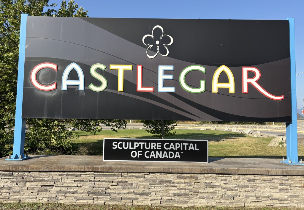
When I stopped briefly in Castlegar on my way to Cranbrook earlier in my trip I had picked up a brochure about this activity and after looking through it I decided I wanted to come back and check it out for myself. Fortunately it was a nice day, as the sculptures are scattered all over town, though there is a concentration of them in the downtown shopping district.

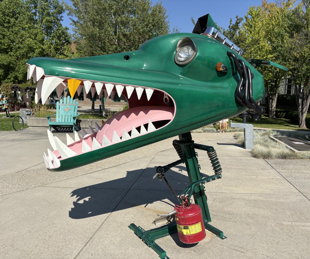
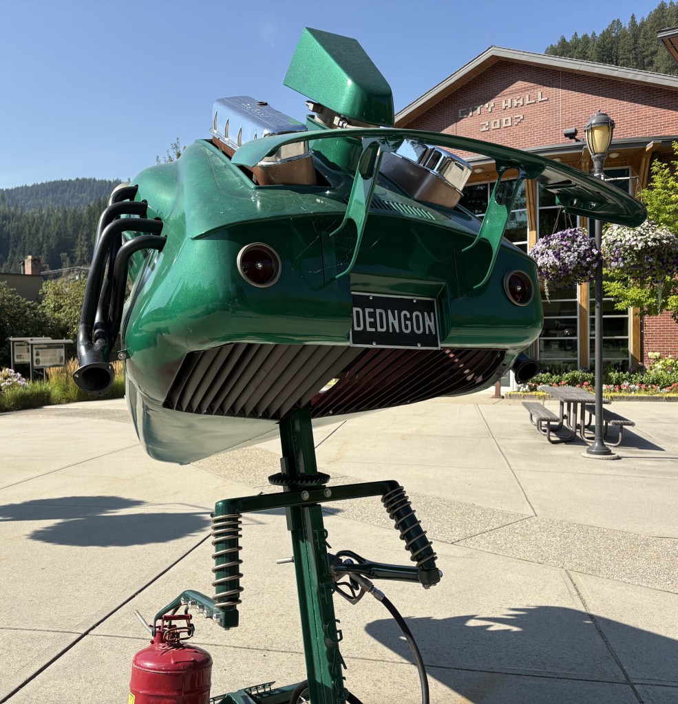
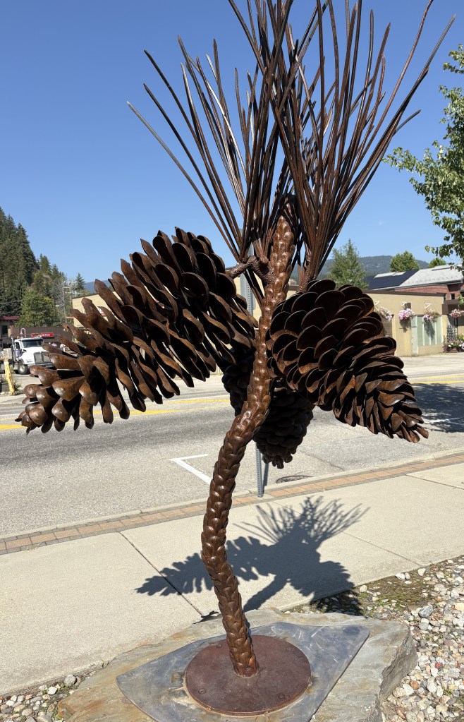
The artwork in the photo above was featured on the cover of the brochure I had seen. It is called “Dedngon”. Here is another angle of it:

Most of these sculptures are available for sale or lease. The only deterrent to photographing them was that many were backlit by the sun. There were many more than I am going to show you, but I’ve tried to pick the best ones to post. You can Google the name and see photos of many of the ones that I will post, as well as others that are no longer in circulation, or were in parts of town that I didn’t go to. I tried to find all the ones that were downtown or close to it.

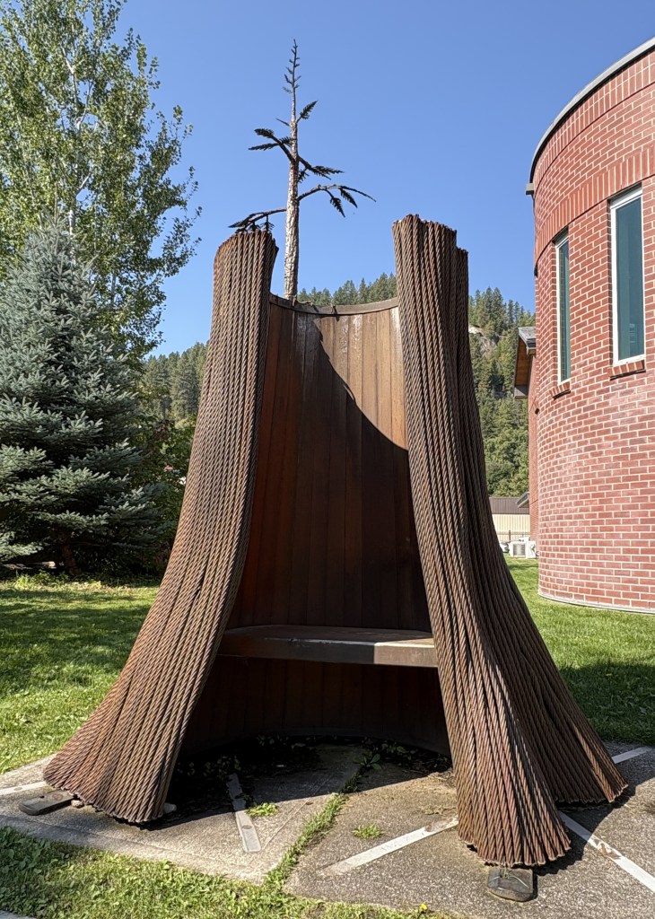
The bench above is supposed to represent a tree trunk, with new growth sprouting from the top.

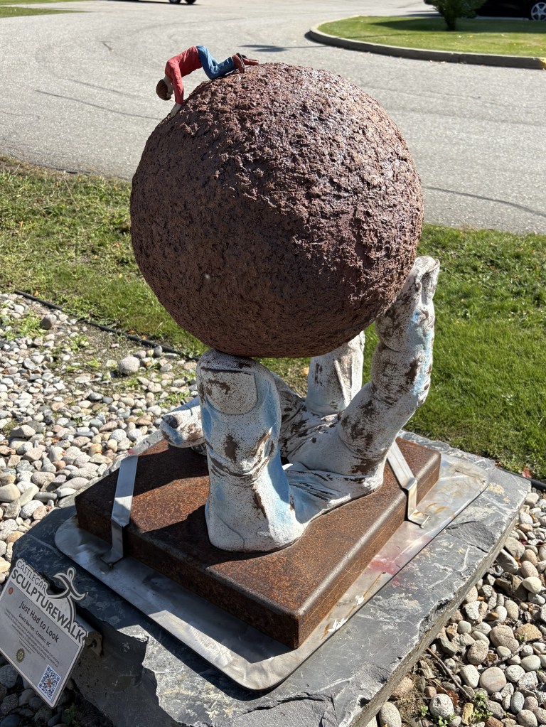
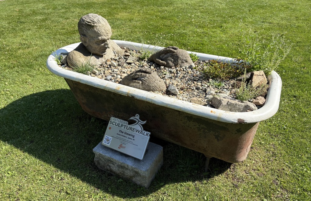
The artwork in the photo above is called “Just Had To Look” and features a small man crawling on a hand held sphere who is peering down into a hole in the surface.

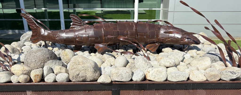
The artwork in the photo above is called “Living Fossil” and is of a swimming white sturgeon.

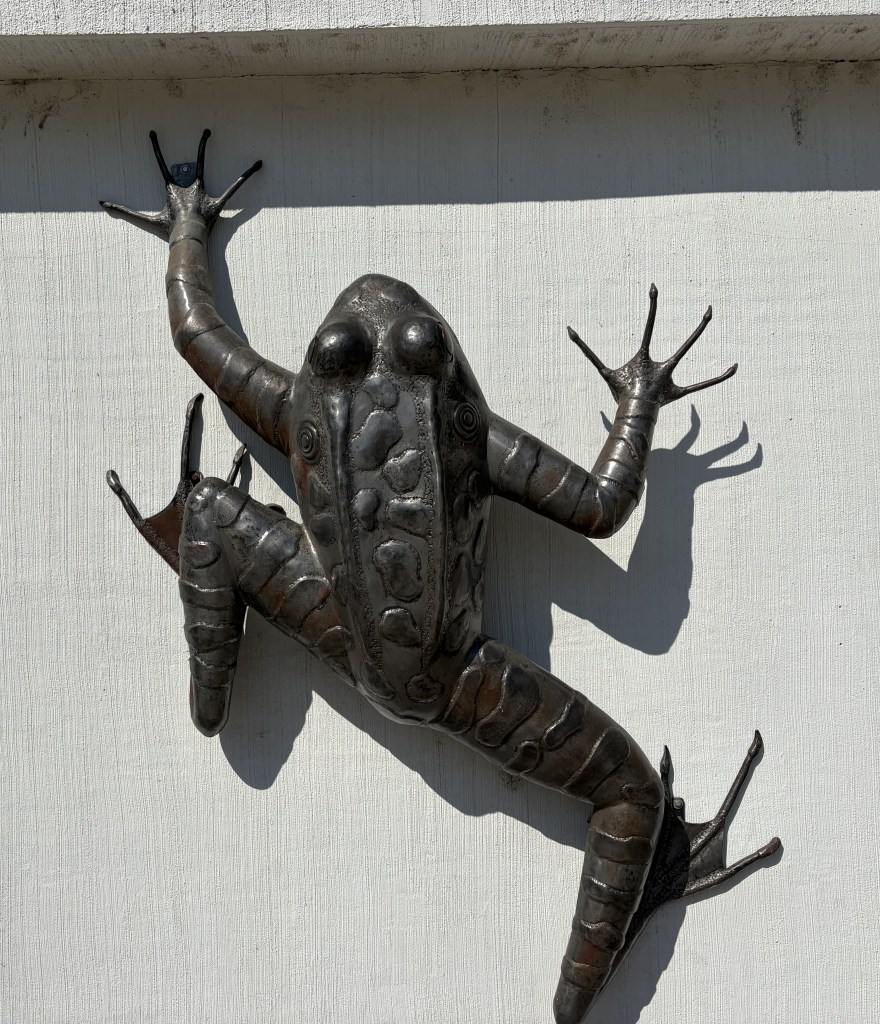
The artwork in the photo above is called “Don’t Judge Me by My Cover.”

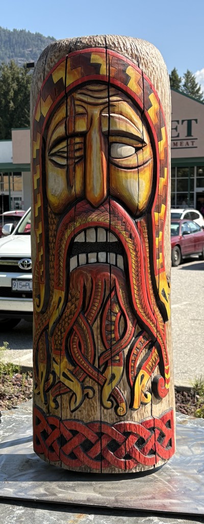
That one is called “Mask of Ooinn” (the first two letters of the last word have characters above them which I am unable to replicate here). It is one of the few sculptures I saw that was not made out of metal. It depicts the chief Norse deity (as stated in the brochure).

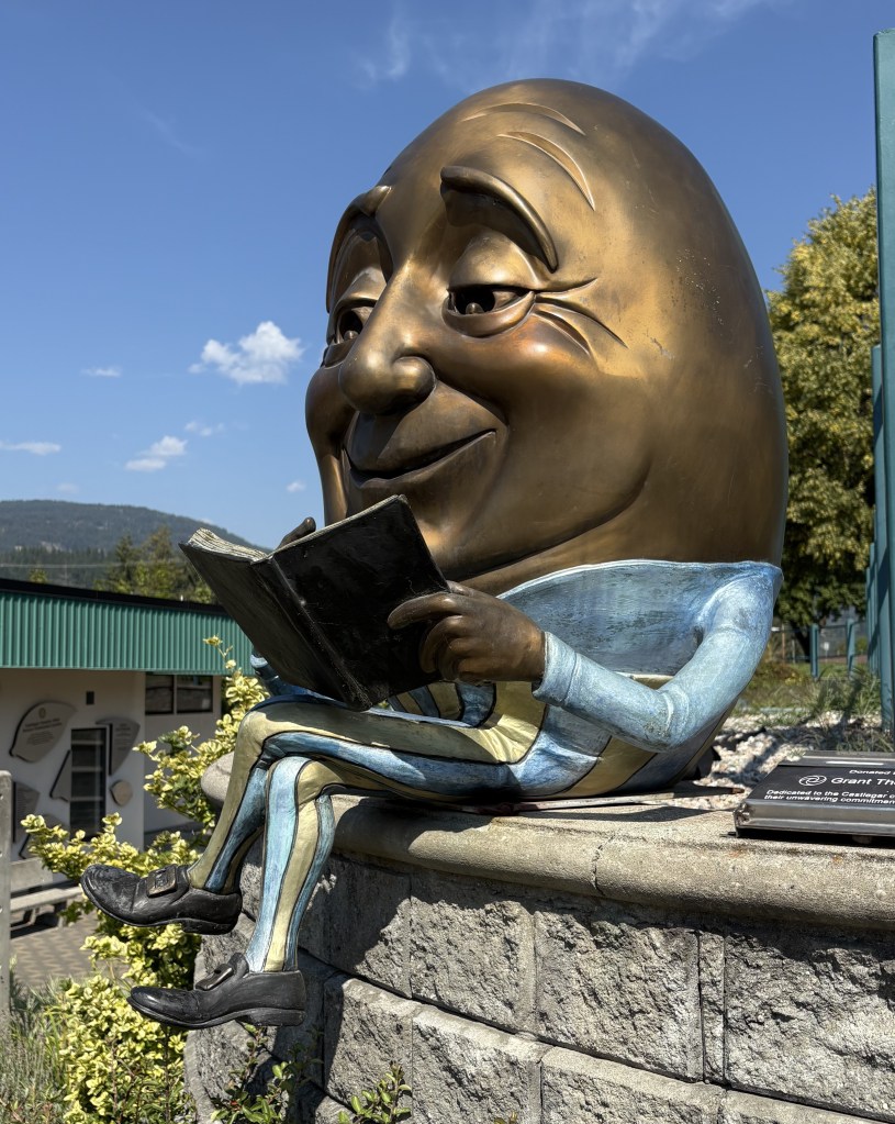
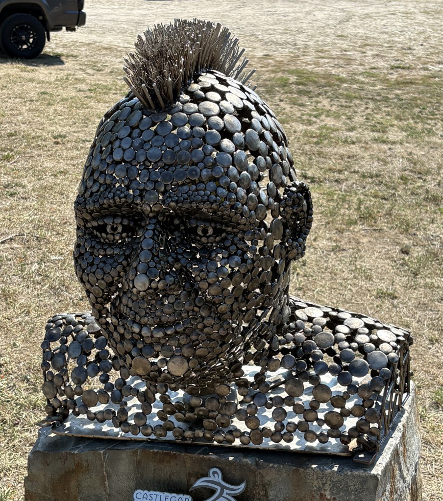
“Egghead” was purchased by a local business and is on display outside the public library.

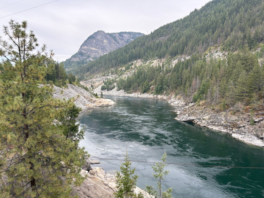
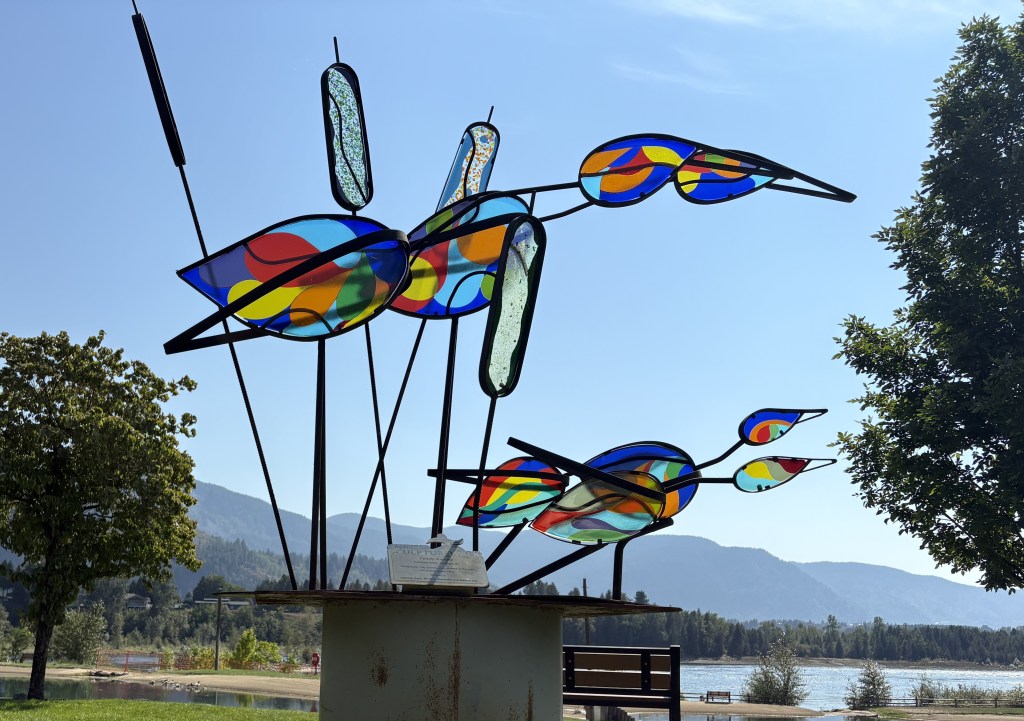
The next two I found in Millenium Park, a large city park east of town and next to the Columbia River.

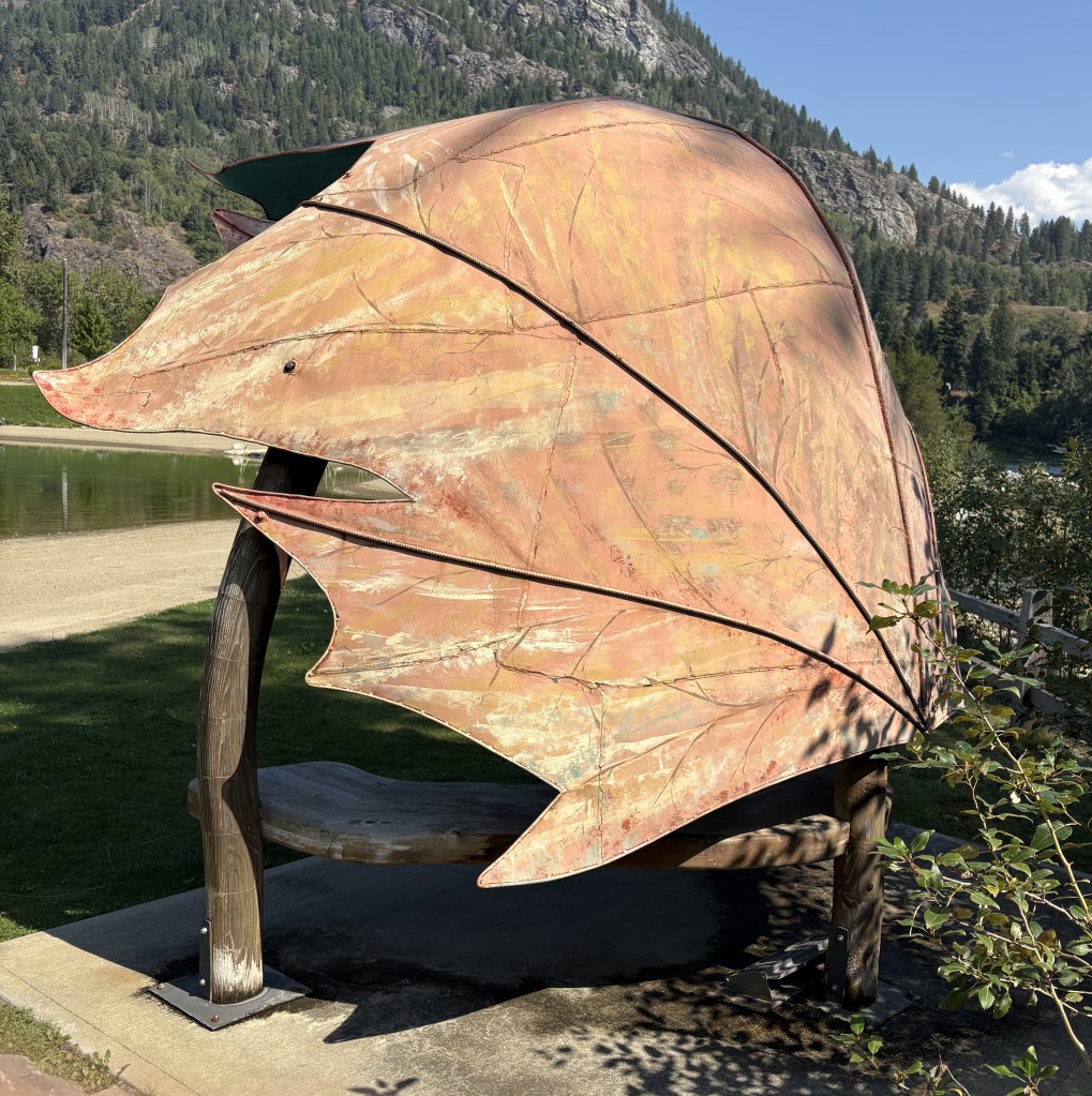
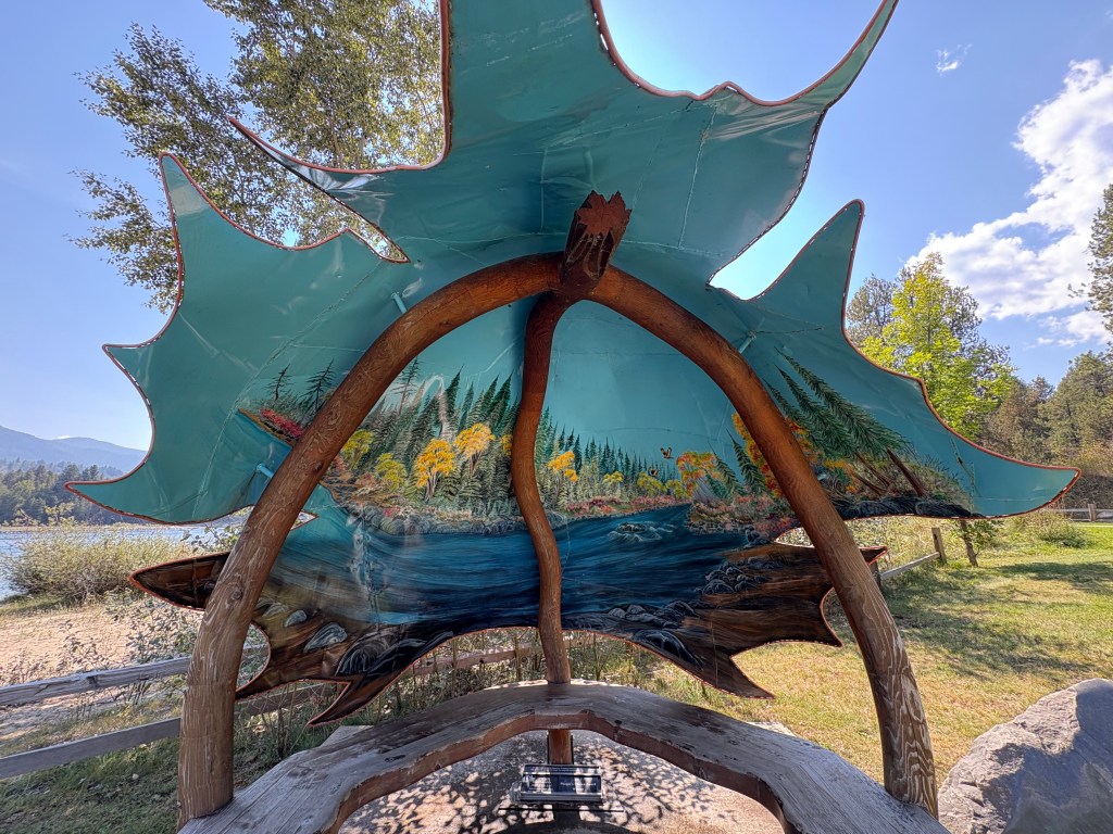
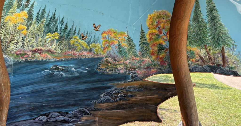
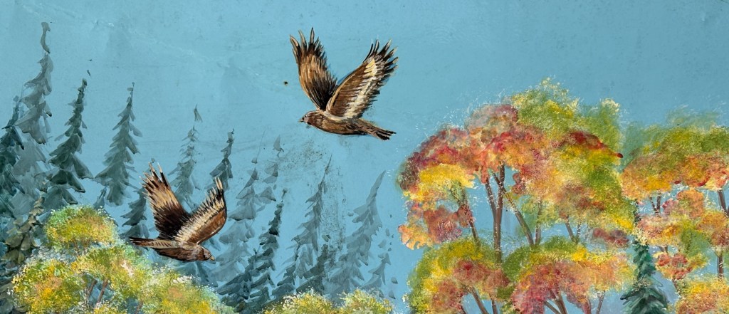
And the next one is in several parts. It is metal shaped in the form of a curved maple leaf. It covers a bench near the river and has a nice detailed painting inside.

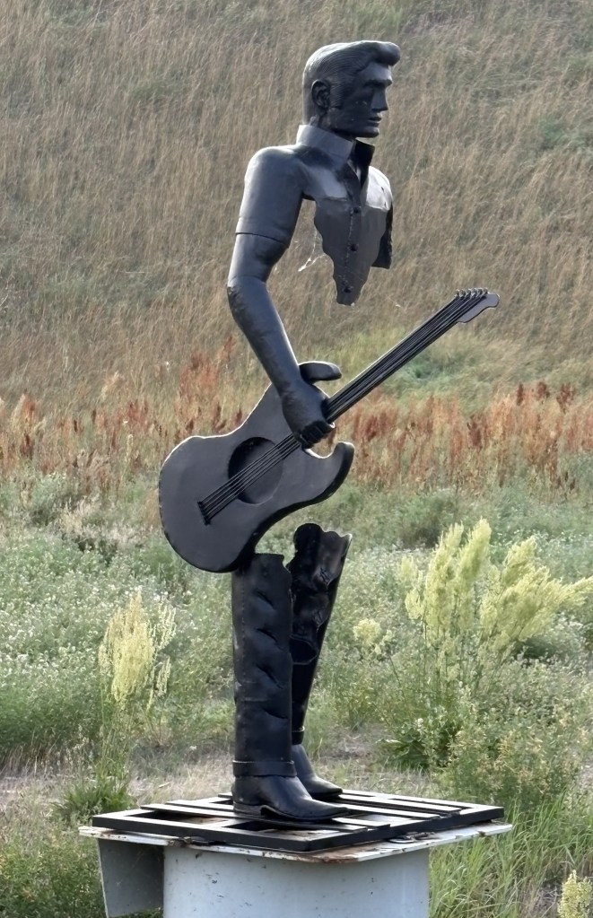
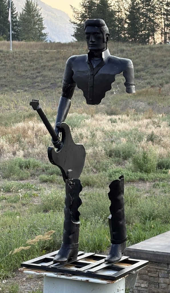
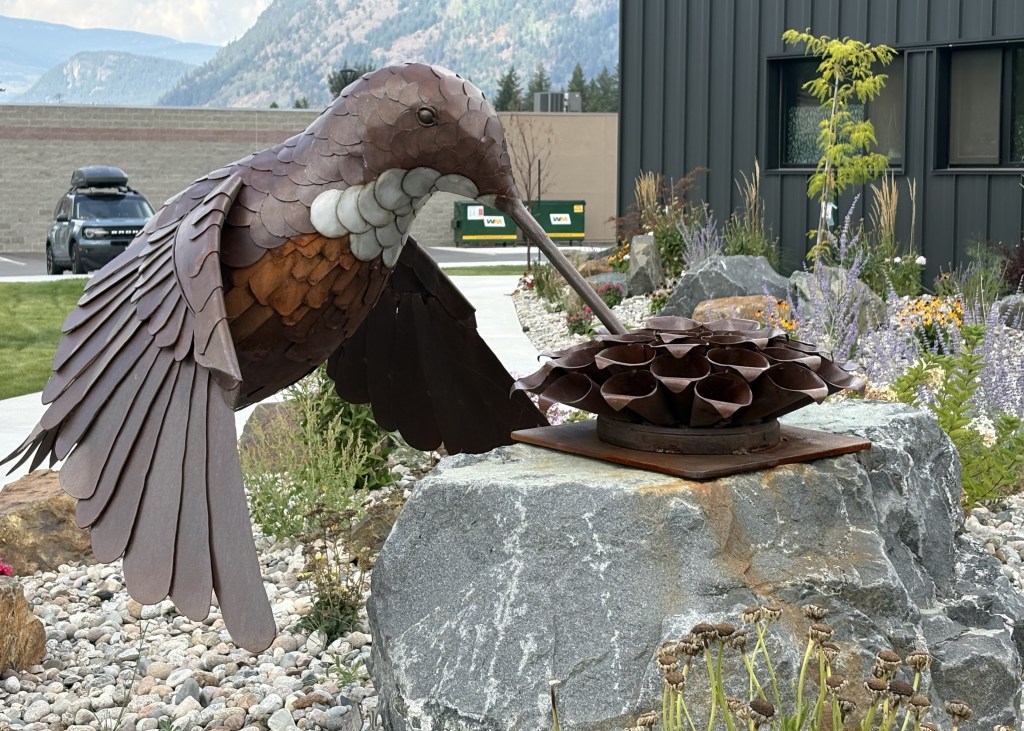
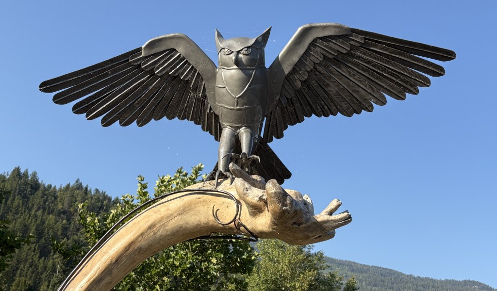
I’ve saved my favorite for last. It is being leased by the city and currently sits out next to the highway coming in to town.

Lethbridge, AB to Castlegar, BC

August 29, 2025

Today will be another driving day. I will be taking Hwy 3 (the Crowsnest Highway) west and will cross the southern end of the Canadian Rockies from east to west. The first 80 miles will be flat prairie and farmland, which I have grown accustomed to while in most of Alberta province. Google Maps indicated it would take about 6 hours, without stops, to get to my destination. Once I hit the Rockies the road will take me through Cranbrook, where I stayed earlier in my trip, and then beyond it to Castlegar. The portion from Lethbridge to Cranbrook will be new to me.

The first item of interest I encountered was as I was getting into the Rockies.

That is the result of the Frank Slide. At 410am on April 29, 1903, the top of the mountain gave way and wiped out a good portion of the town of Frank, a small coal mining town. 70 people perished, either in their homes or in the mines. As you can see, lots of the rock debris made it to where the highway now runs. The photo above is looking left (south) from the highway.

That is how the highway appears now. They obviously had to clear rocks and boulders out of the way to build the road. And this is how it looks now if you look right from the highway:

You can see that with the momentum of the rockslide the debris traveled a significant distance.

OK – so now I’m back in the Rockies. You know what that means…. more mountains!

I believe the mountains above are part of the range I saw as I approached Cranbrook from the west. And I believe the mountains shown below are a little further north in that same mountain range.

OK, that wasn’t so bad was it?

I drove for about 2 1/2 more hours and then crossed a mountain pass which is about an hour and a half from Castlegar.

I believe that photo is dark because there were clouds right overhead shading the valley. It was a bright, sunny day everywhere else.

When I got to Castlegar I stopped in at the Visitor Centre again (I had stopped in briefly when I was coming east and decided that I liked the town enough to some back for a two-night stay).

That is a large metal sculpture of a hummingbird. It is a set-up for tomorrow’s post which will include lots more sculptures.

I did have time after I arrived in Castlegar to visit the “Brilliant Bridge”. Technically it is called the Doukhobor Suspension Bridge National Heritage Site of Canada, and is located in the neighborhood of Brilliant on the opposite side of the Columbia River from the town of Castlegar.

If you look closely at the original concrete stanchion you will see that the bridge was built in 1913.

The original bridge was abandoned in 1966 when a new highway bridge was built not far away. The bridge was restored in the early 1990’s and is now a pedestrian bridge, and a popular landmark in town.

The bridge spans the Upper Kootenay River shortly before it joins the Columbia River not far from here.


Getting back to the official name, the Doukhobors (the Canadian spelling, adding the letter ‘u’) immigrated from Russia to Canada in the early 1900’s. About 7,500 arrived in Canada over a 30 year period, seeking to escape religious persecution. They originally settled in Saskatchewan but later relocated here to British Columbia. (Source: Wikipedia)

There is a Doukhobor Heritage Centre in Castlegar but I didn’t go to it.