August 8, 2025
To refresh your memory, I effectively stopped making “current” posts with photos I had taken August 8 while en route from the town of Golden, BC to the town of Jasper, AB.
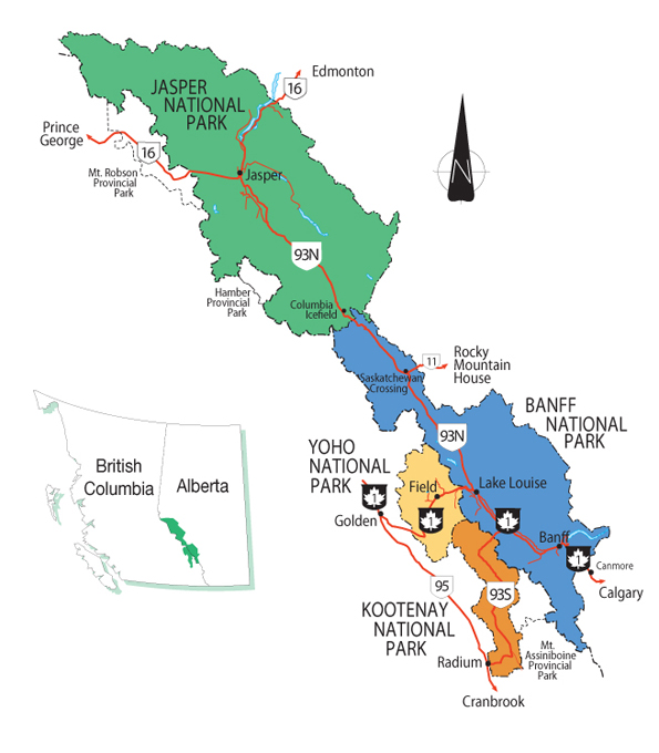
(Photo credit: Parks Canada)
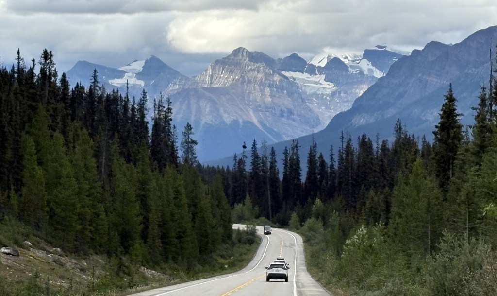
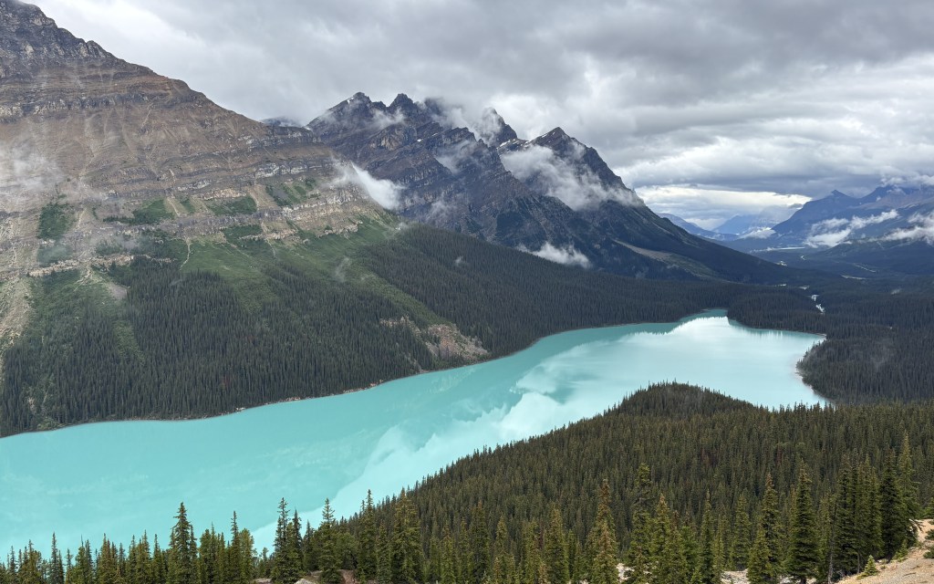
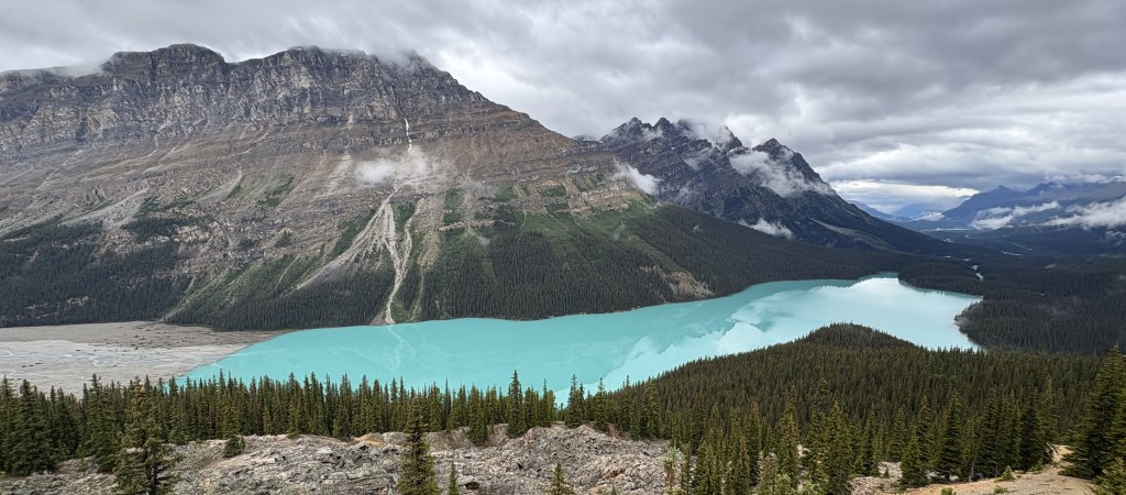
On July 7 I had traveled through Kootenay National Park (brown) and then through part of Banff NP (blue) and Yoho NP (yellow) to get to Golden, where I would be based for 6 nights. The following day I backtracked to Lake Louise and went north towards Jasper National Park (green) and have already posted photos taken in the northern part of Banff NP getting to the point where I crossed into Jasper NP, which is where the Columbia Icefield is located. The entire road (Highway 93N from Lake Louise to the town of Jasper) is called the Icefields Parkway and is considered by many to be among the most scenic roads in Canada.
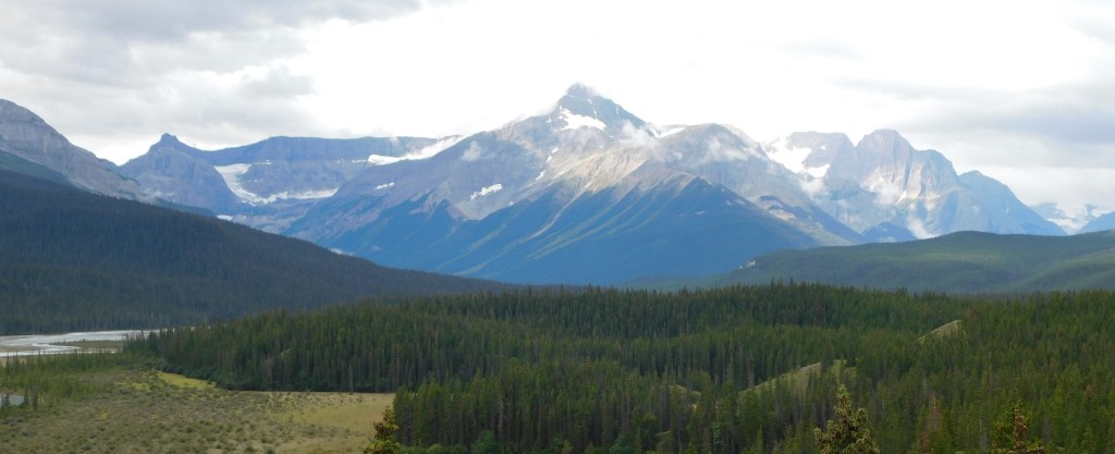
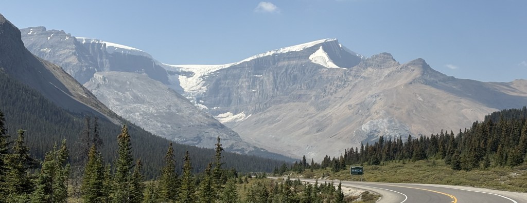
Here are more photos I took as I traveled north, deeper into Jasper NP.
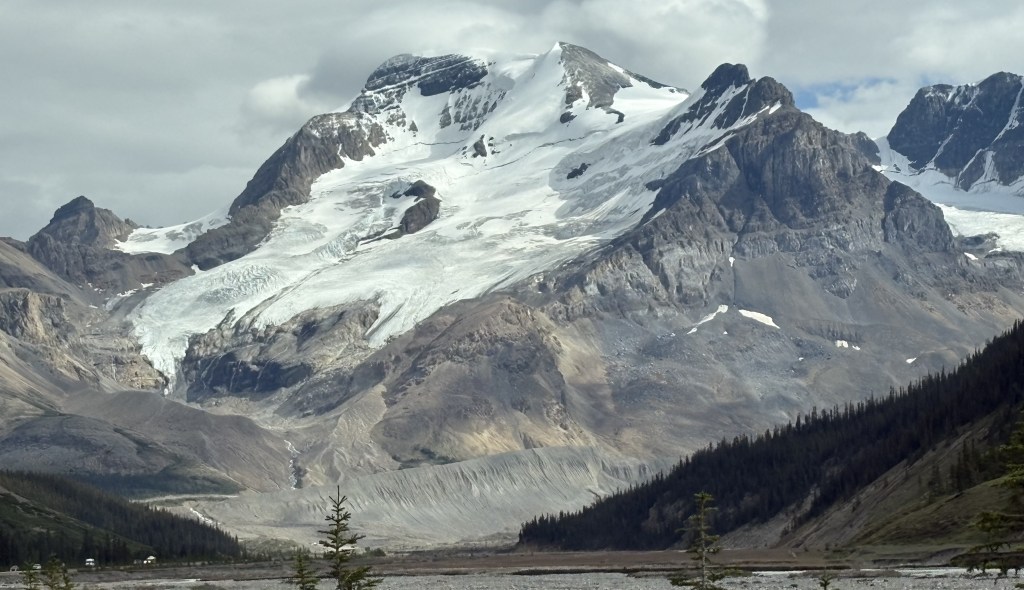
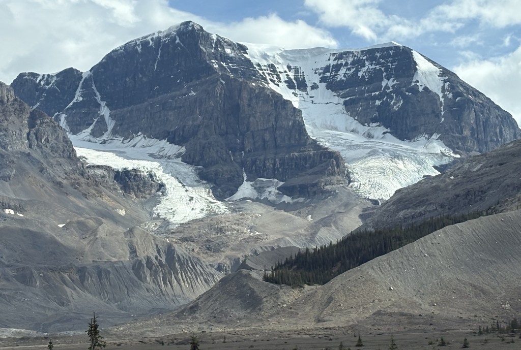
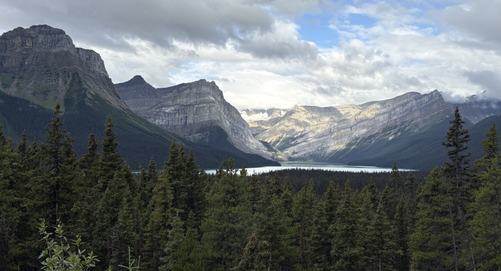
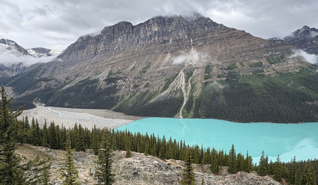
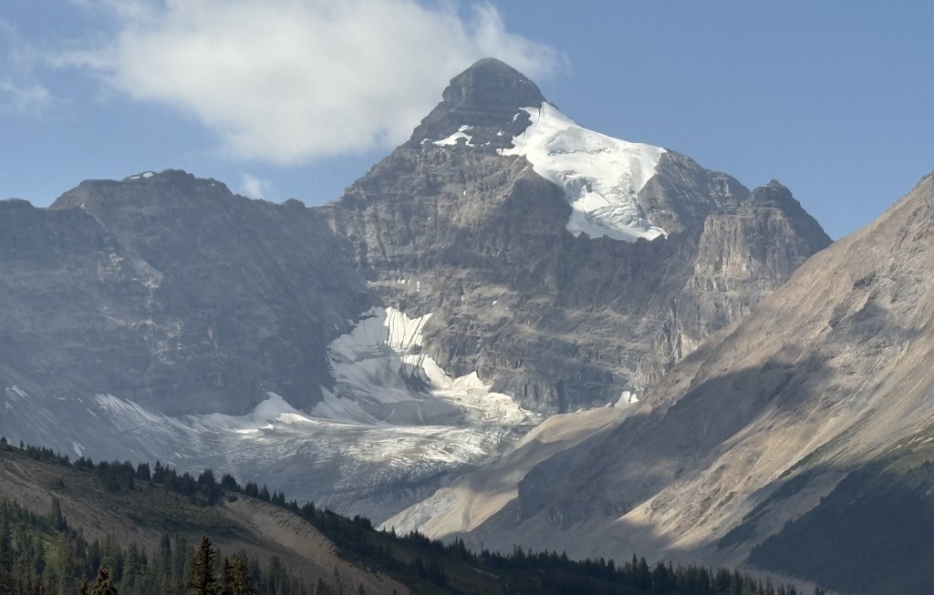
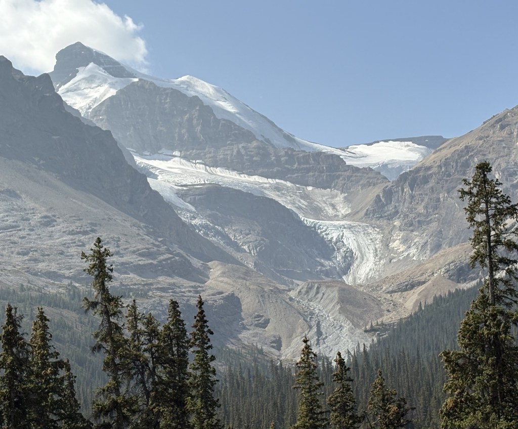
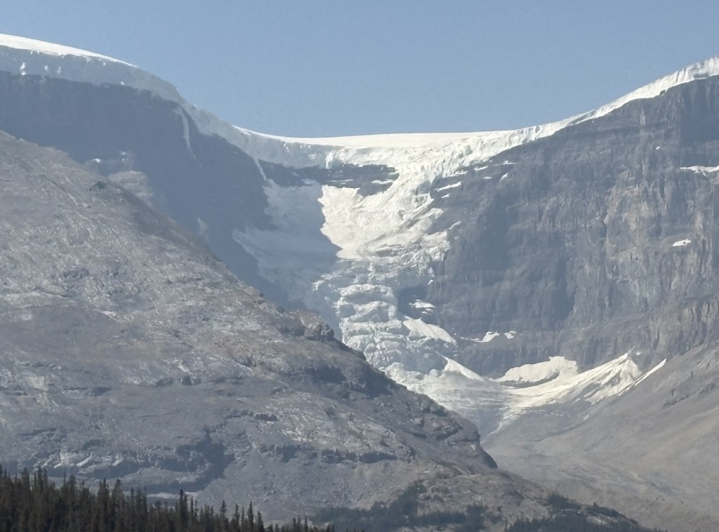
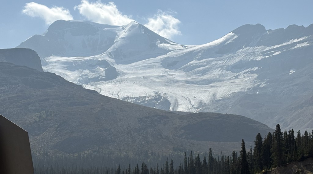
The two photos above are of the Athabasca Glacier, the largest one in a group of six which comprise the Columbia Icefield. I actually took those photos on my way south back towards Golden after having been to the town on Jasper.
The Columbia Icefield is a major tourist draw, so much so that I didn’t take part in the guided bus tour and excursion to the new Icefield Skywalk (a viewing platform similar to the one in the western Grand Canyon). To do those things most people make reservations at the Icefields Center, a large building next to the highway. Here are two photos I found on someone else’s blog:
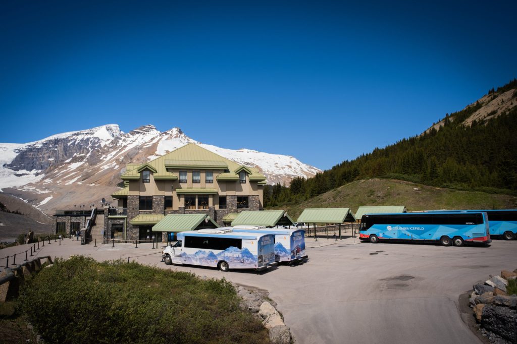
(Photo credit: Thebanffblog.com)
Those blue buses will transport you to the base of the glacier so you may get an up-close look. They also give you exclusive access to the Columbia Icefield Skywalk:
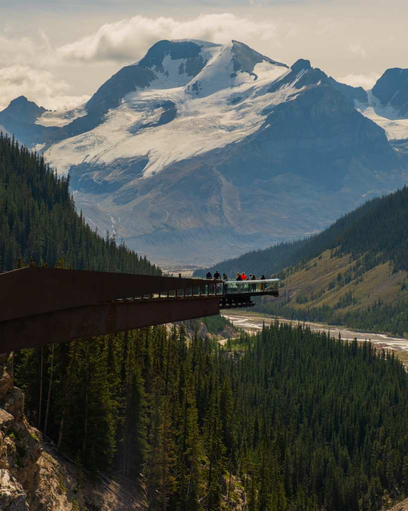
(Photo credit: Thebanffblog.com)
There is another company that has large, red and white specialty vehicles with oversized snow tires which will actually take you out onto the glacier itself.
So you must park your car and use other means of transportation to truly experience the glaciers. I didn’t do any of those things.
I opted to continue driving north as I wanted to see the town of Jasper and get back to Golden before dark.
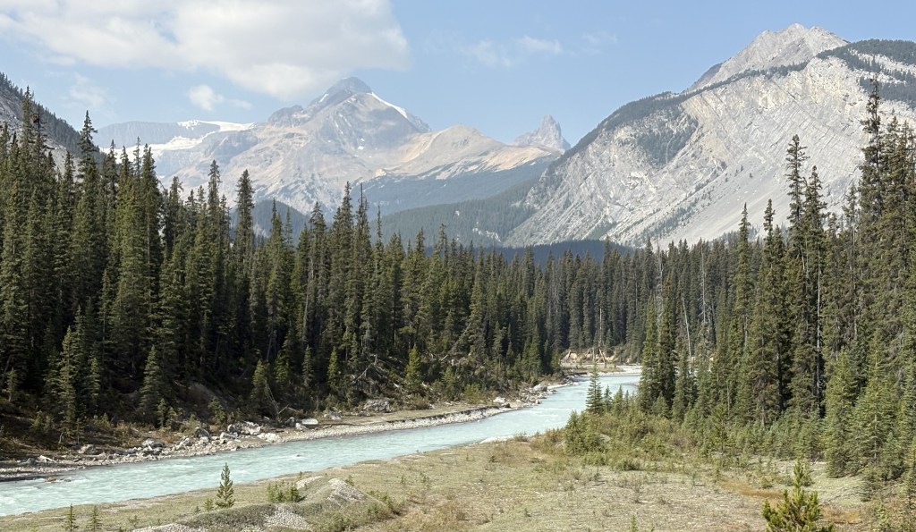
I am embarrassed to admit that I don’t know the names of the rest of these mountains. I have scoured maps and brochures but they don’t always name them and even looking at pictures online didn’t help, as they are often taken from other vantage points. In hindsight I wish I had taken better notes of exactly where I was when I took each photo. Most things don’t have signs explaining what you are looking at, and even using the time stamp on the photo didn’t help much since I make so many stops and frequently backtrack if I see something interesting.
My apologies!
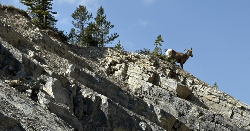
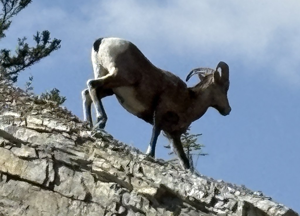
I have the tour bus that was on the road ahead of me to thank for the last two photos. It had pulled off the side of the road to let the passengers take pictures of the bighorn sheep high up on the rocky hill next to the highway. I wouldn’t have seen it otherwise.
If you are a hiker and plan to visit the Canadian Rockies I strongly encourage you to budget considerably more time than I did. There are MANY popular campgrounds and hiking opportunities and they can get you to places where you’ll have even more incredible views than I had from the road.