August 20, 2025
It took all day to get here and I arrived just before nightfall so I spent the next day exploring Moose Jaw. As I often do, I started at the Visitor Centre.
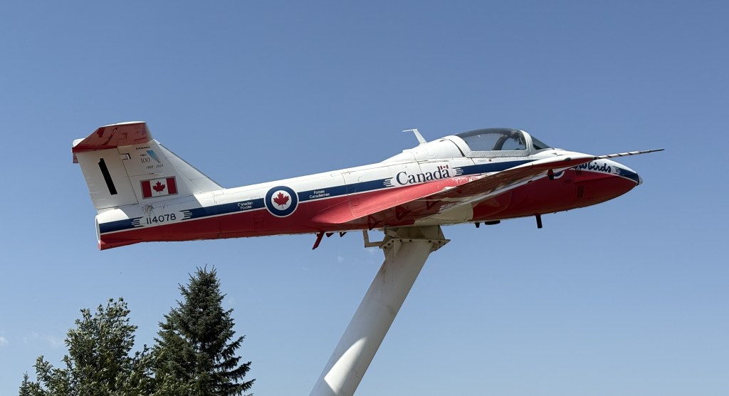
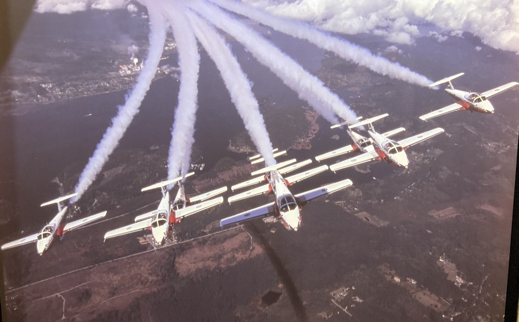
Above is a version of the Snowbirds jet. The Snowbirds are Canada’s precision flying team (like the Thunderbirds or Blue Angels in the US). They are based at CFB Moose Jaw, a large military base a few miles south of town. Moose Jaw has a reputation for clear weather in the summer so it is a perfect training ground for pilots to practice their skills.
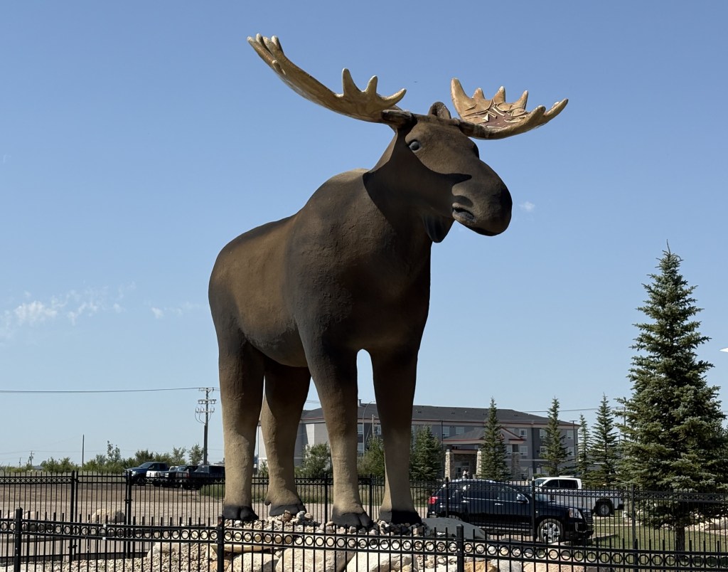
And that is Mac the Moose, here for obvious reasons.
When I went inside I was greeted by a more lively mascot of sorts. Say hello to Cheese the cat.
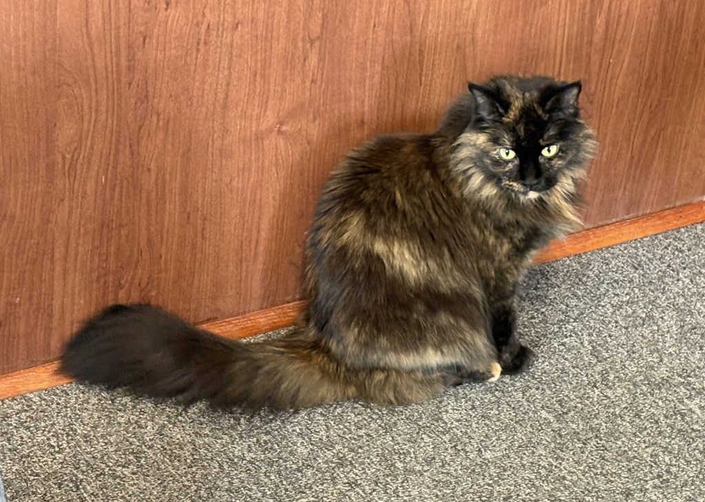
Get it? Mac and Cheese?
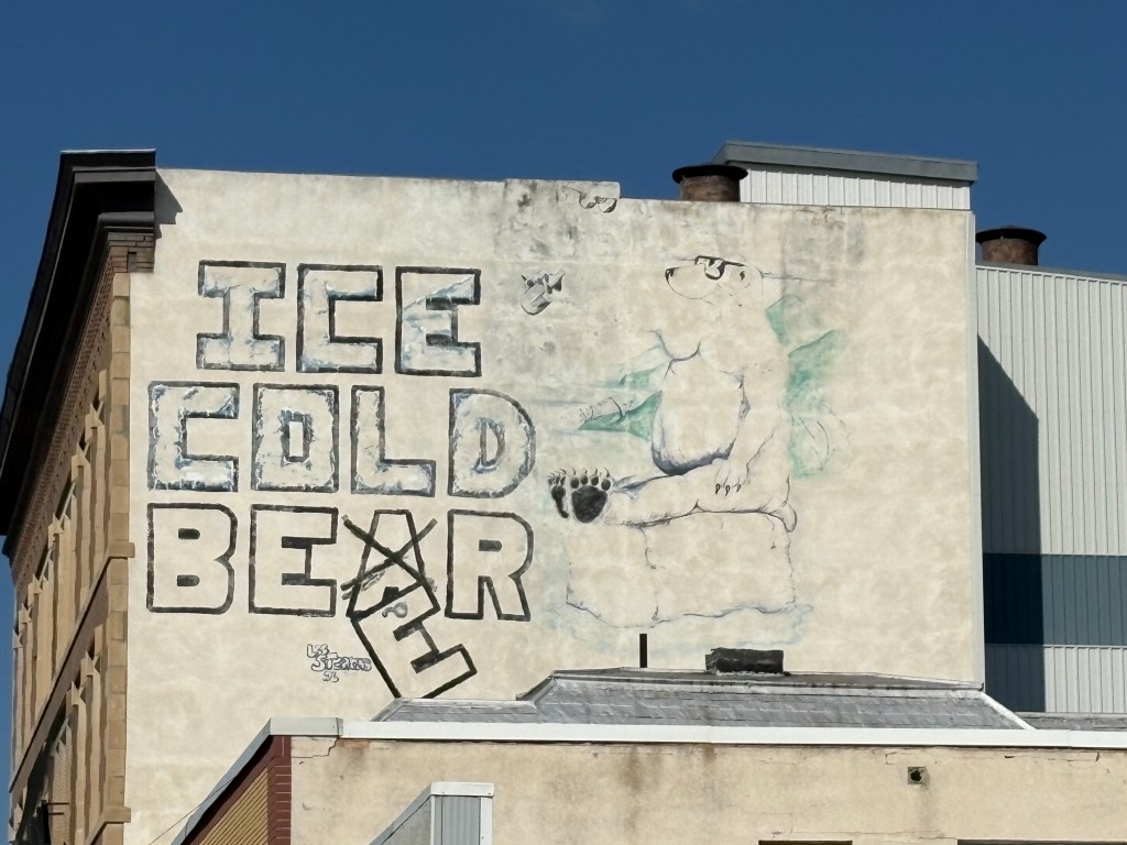
This was one of the displays in the Visitor Centre.
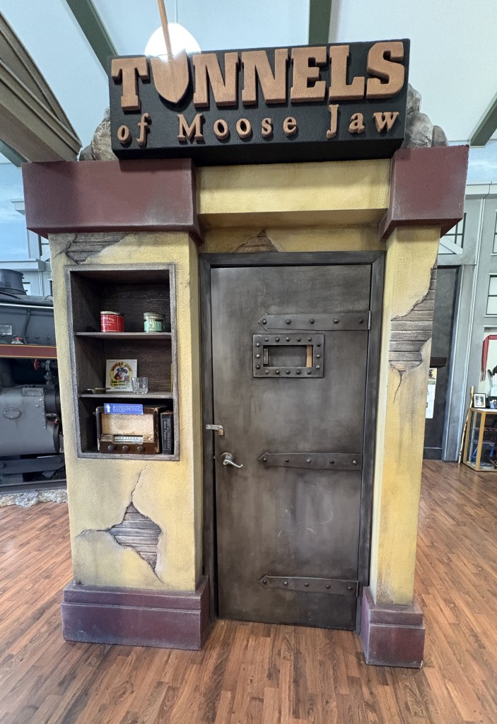
It promotes a tour of real tunnels underneath the city. There are two theories for the existence of these tunnels. One is that they housed Chinese-Canadians who were forced to live underground. There is no real proof of that but is there is documentation for Chinese business owners having lived here many years ago.
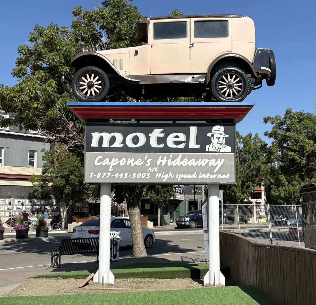
The second theory is more widely embraced. Chicago mob boss Al Capone is alleged to have used the tunnels for hiding alcohol, prostitutes and promoting gambling here during Prohibition. Again, no documented proof of that but it has kind of taken on a life of its own. Many of my Airbnb hosts thus far have mentioned it if I told them that I was planning to come here.
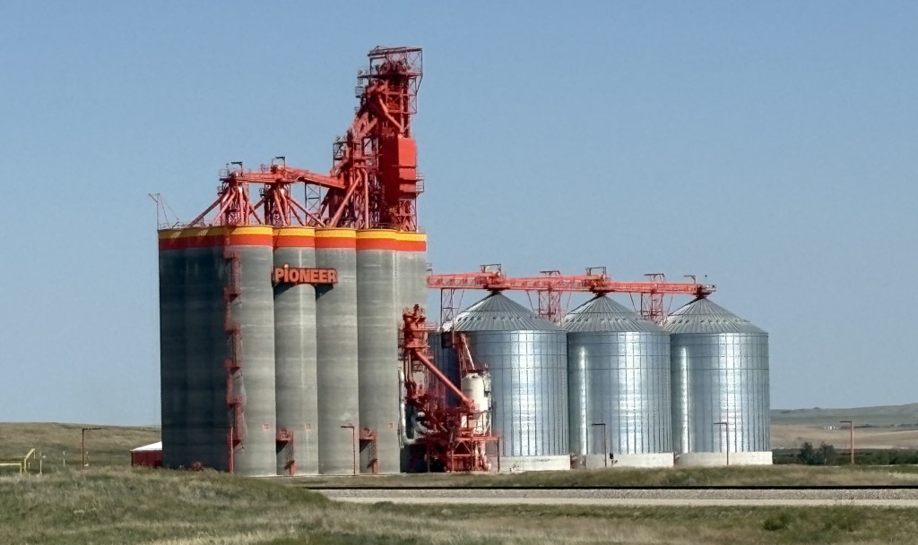
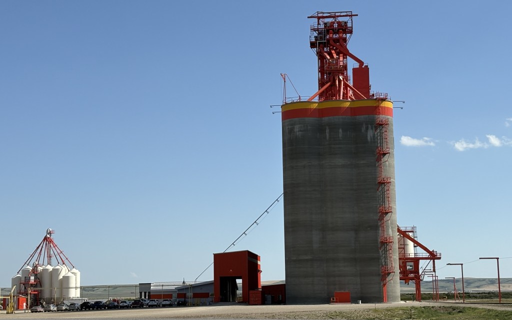
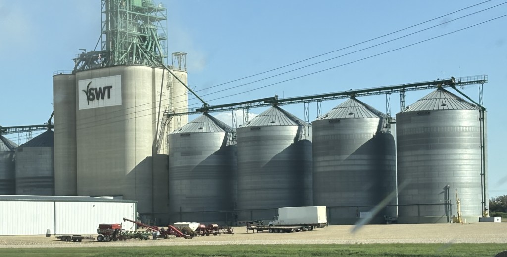
Other displays featured the importance of the railroad (two different national rail lines pass through here), agriculture in the community, and promoted various sports teams, notably the Moose Jaw Warriors hockey team.
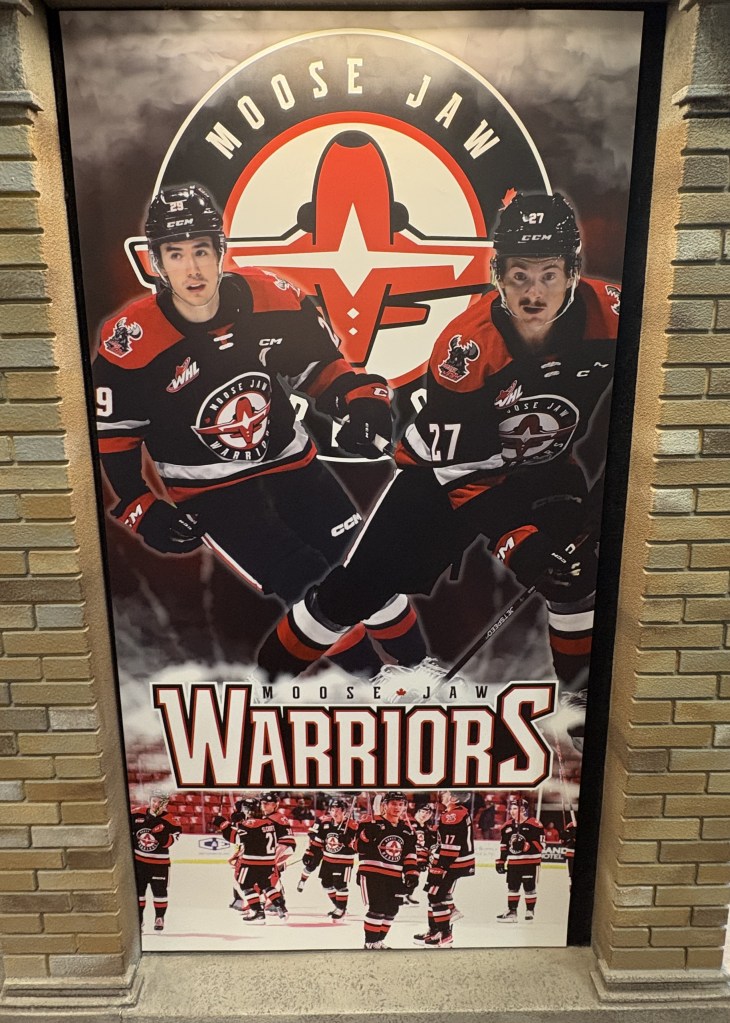
And of course, the Snowbirds.
Note that the Snowbirds logo is featured on the hockey player’s uniform above, as is part of their logo as well.
Moose Jaw is a nice town of a little more than 33,000 people and it seems to have held that level for at least 10 years. It is the 4th largest city in Saskatchewan. People who live here are called Moose Javians. Seriously. Betcha didn’t know that! (Don’t feel bad, I didn’t either).
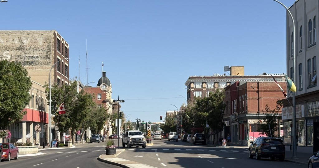
As I stated earlier, it has embraced the urban legend of Al Capone having a connection to the town, and calls itself “Canada’s Most Notorious City”.
I went to the Temple Gardens Arena in town as it was listed as the location of the Moose Jaw Curling Centre. The day I was there, however, it appeared to be set up for hockey.
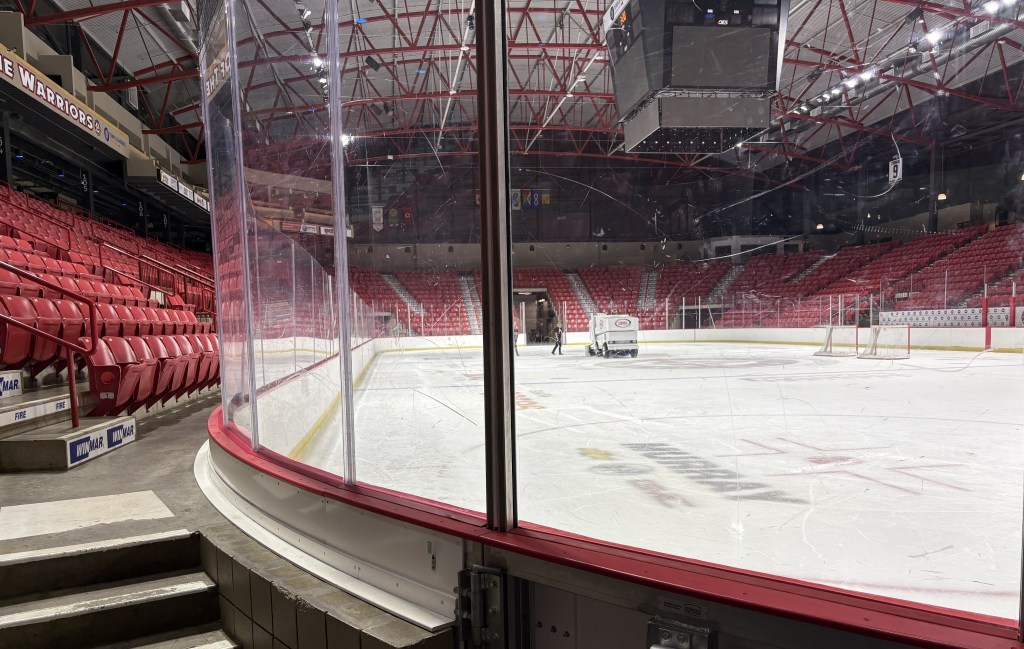
Moose Jaw did host the 2025 World Men’s Curling Championship, as well as the 2023 World Para Ice Hockey Championship, in this multi-use arena.
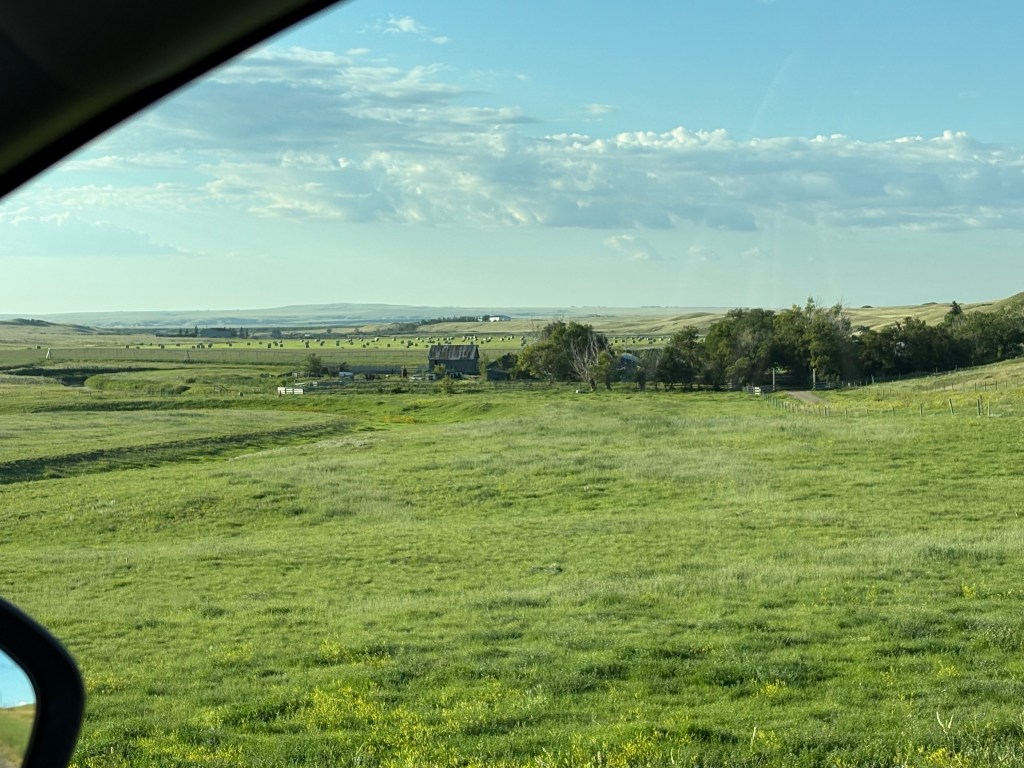
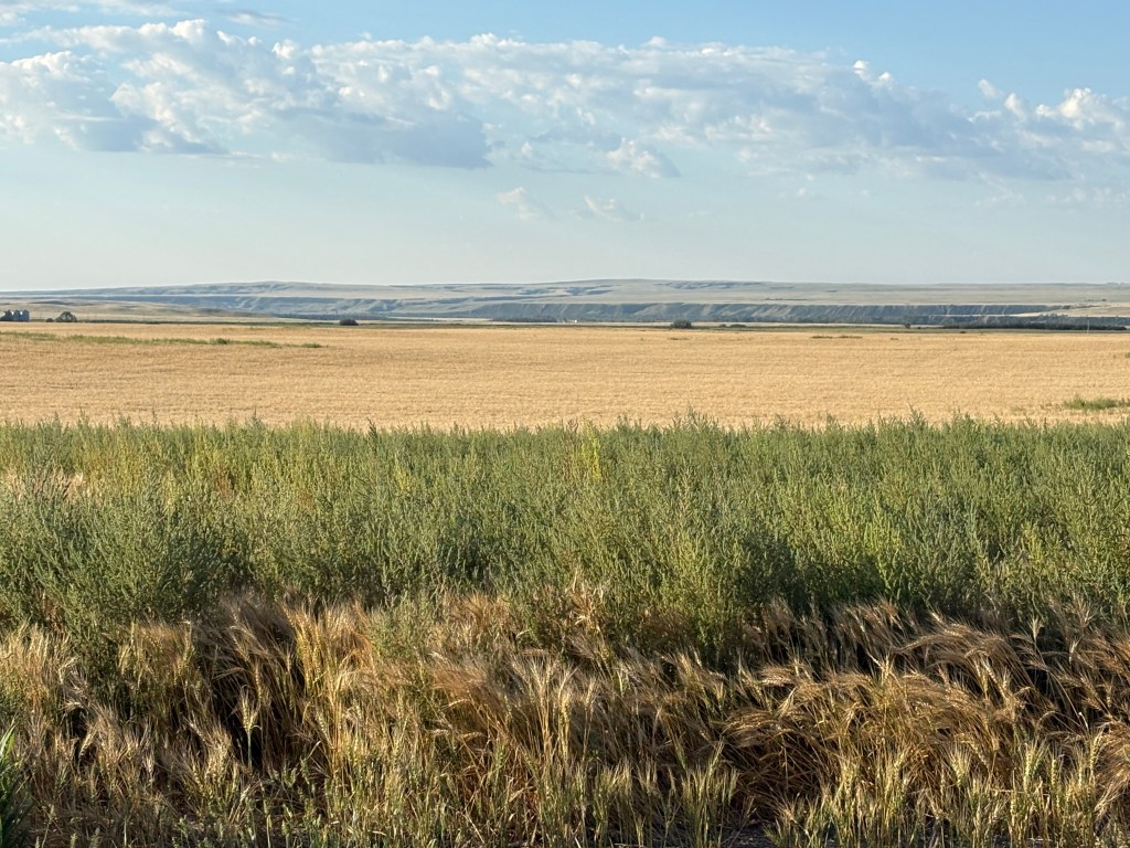
As I was driving back to my Airbnb (one of the nicest one’s I have stayed in) I drove through this coulee a short distance from the house.
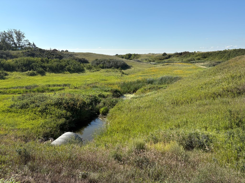
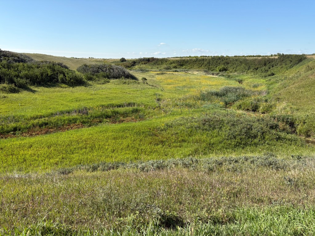
A coulee is a French-Canadian term for a valley or depression. After my hostess explained that I realized I have driven through lots of them. Those photos are looking left and right from the lowest point on the, otherwise level, road.