The ferry from Port Angeles, Washington State dropped us off in the harbour in Victoria mid-afternoon. I had a scenic drive which would take two hours each way planned so I decided to go ahead and get it checked off the list since I didn’t know my way around the city. It was easy to get on Route 1 (the Trans-Canada Highway) from the ferry terminal and then I hopped on Route 14 which would take me around the bottom of the island to the southwest and then follow the Strait of Juan de Fuca which separates Vancouver Island from Washington State.
I passed through little towns like Langford, Sooke, Shirley and Jordan River. The road eventually turned inland and climbed up into the San Juan Ridge of mountains. Ultimately the road would end at Port Renfrew. I never made it that far. Once the road started climbing up into the woods, a) the drive became like something I could do in North Carolina or Virginia – driving through a tunnel of trees, but more importantly, b) the road had lots of curves, but more distressing were the severe undulations which often caused the car to almost bottom out if I went too fast. I now drive a Toyota Camry which, when loaded with all my stuff, sits pretty low to the ground (and I bought it with low profile tires on it compared to what I normally buy). I finally said “enough” and turned around. I was getting carsick on land!
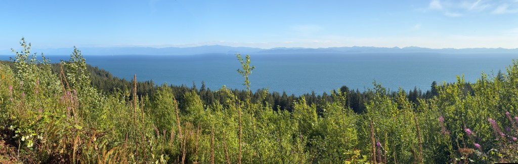
Here are some panoramas looking west towards Washington State. The photos make them look tiny, especially using the panorama format, but actually looking at the mountains of Olympic National Park was very impressive, even from a distance.


This crow landed on the rock in front of me as I was getting ready to back out from my parking place by the beach.
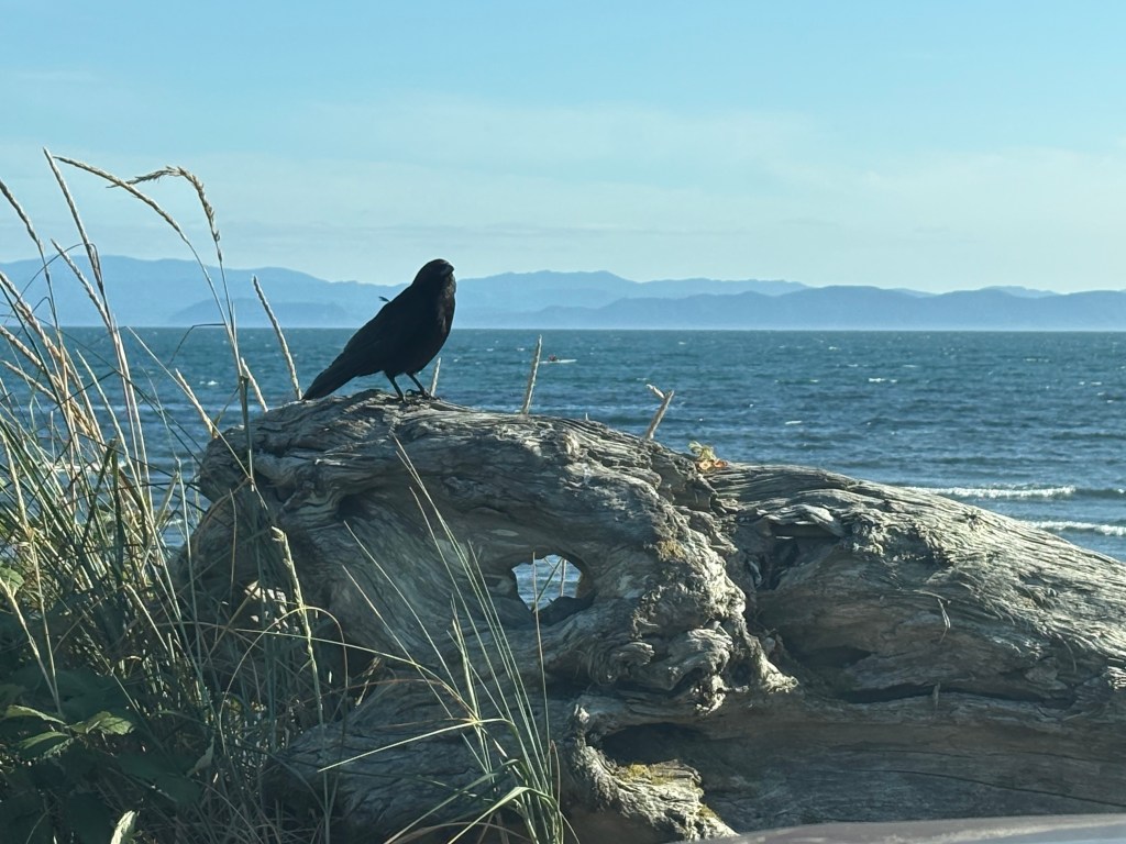
That photo was taken at Jordan River and from there it would take me about an hour to get to my Airbnb for the next two nights.
