My last full day on Vancouver Island would take me to the northernmost tip of the island. Port Hardy is 145 miles northwest (the island slants from NW to SE) of my current base of Campbell River, and Google Maps said it would take 2 1/2 hours to get there. My goal when I planned this trip was to drive on ALL the major roads on the island (there aren’t many). Mission accomplished, save for the road out to Tofino which I skipped because of the alleged tsunami threat. There are several small towns along the Strait of Juan de Fuca on that route which are all along the coast, and facing that direction they might have experienced the full force of a tsunami had it held together, so I opted to listen to the authorities and stay inland that day. I will just have to wait and visit Tofino when I come back! From my pre-trip research it sounded like it had some interesting stops.
It was a beautiful morning when I started driving towards Port Hardy. I should have mentioned this earlier but as I have driven northwest from Victoria the entire time I have been on Vancouver Island I’ve encountered more and more mountains, not so much that I had to drive on since most of the main roads skirt both coasts (the exception being the ones I did yesterday, and the road out to Tofino) but every day I seemed to see more, and taller mountains.
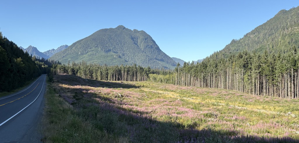
Curiously I never saw the tallest mountain on the island, but it was probably obscured by smaller mountains, or trees, adjacent to the roads I was driving on. As I mentioned in an earlier post, it may well have been the mountain with the most snow on it which I could see from many other locations, but for all I know that mountain could have also be on the British Columbian mainland.
Before I got to Port Hardy I saw a sign for Alert Bay, which indicated it was the location of the world’s tallest totem pole, and well as a reference to a killer whale which was lost on me.

When I got to that point on the highway I turned right and drove a short distance to Port McNeill. There I found a small harbour, and there was a small ferry just getting ready to dock.

There were also some boats anchored out in the main waterway.
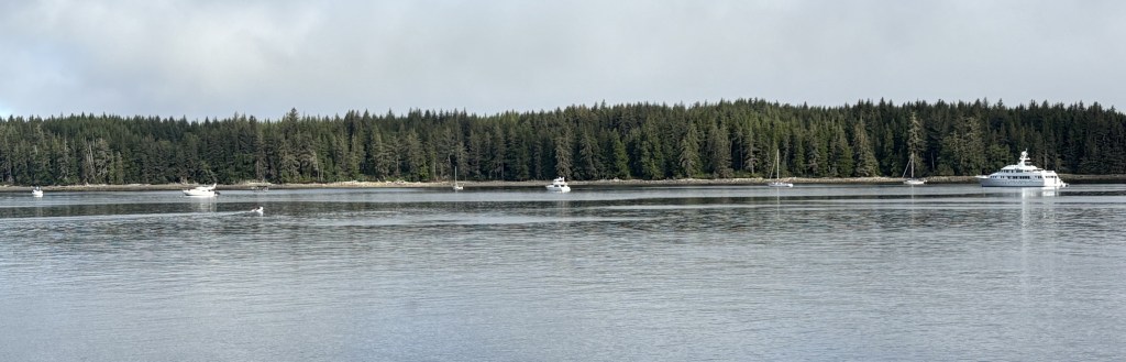
I’d like the one on the extreme right, please.
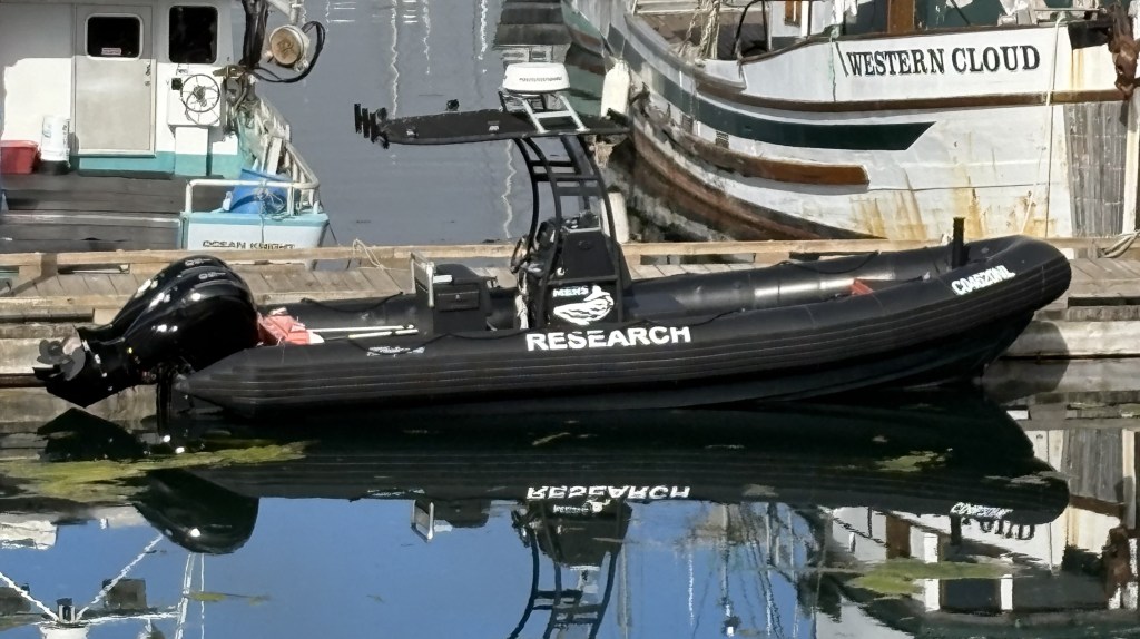
There is also a marine research facility out on one of the islands in Alert Bay and this is one of the boats used by their scientists.
As I mentioned, a small ferry which transports vehicles and people to some of the numerous small islands off the coast was just getting ready to dock:

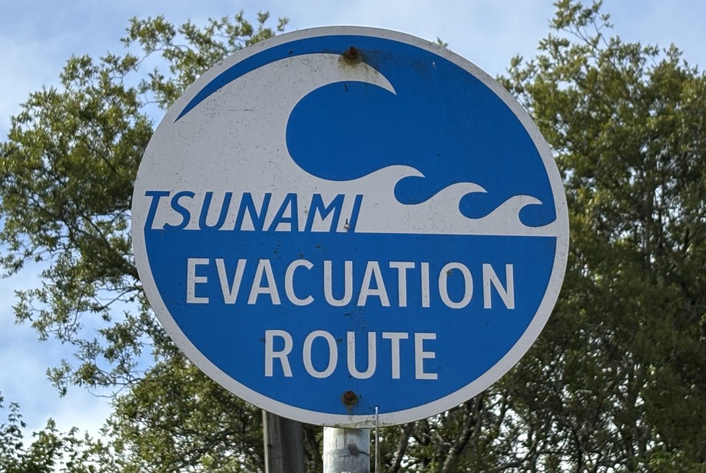
And as I was leaving the dock to head downtown to the Visitor Center I saw this timely sign, given the events of the past few days:
As usual, the young ladies in the Visitor Center were extremely helpful in pointing out various things I could see and do as I continued north to Port Hardy, some of which were on my list but others, not. They also told me that getting out to Alert Bay to see the totem pole was a pleasant, but time consuming task. Yes, a short ferry ride out there, but the big blue sign didn’t mention that in order to get back to Port McNeill one had to ride the ferry to several other islands in the vicinity, and that would take more time than I had today. Add that to the to-do list when I come back.
I bid Port McNeill a fond adieu and drove back to the main road to continue my trek northwest.
