Rest Stop between Banff & Yoho NP’s!!

After I had driven through Kootenay National Park the first time (pass #1) I entered Banff National Park and I turned left on the Trans Canada Highway and started heading northwest towards my next stop in Golden, British Columbia. I drove several miles on the TCH (still in Banff NP) and pulled into a rest stop at the border between Banff NP and Yoho NP. That border also represents transitioning from Alberta province (Banff) to British Columbia province (Yoho). One of the more bizarre half-hours I have spent on the road – in three National Parks, two time zones and two provisional border crossings.

And it got even stranger. I ended up parked in that rest stop for almost an hour, which the following photos, all taken there, will help explain.

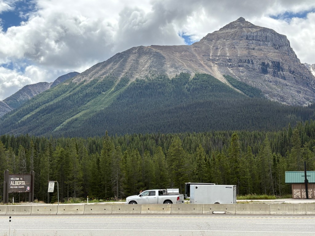
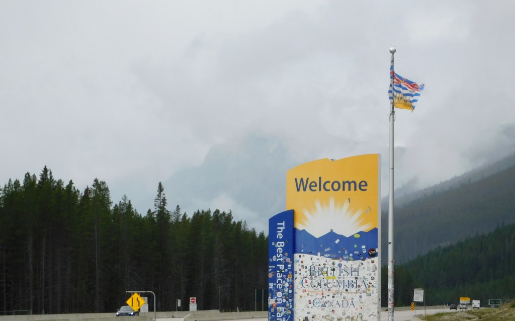
This shot above is looking across the TCH and the vehicle you see is traveling northeast and about to enter Alberta. If you are paying close attention to what I just described it adds to the bizarre nature of what just happened. Before crossing back into British Columbia the TCH also turned left (for my direction of travel) and whereas I started out driving NW on it I was now heading SW. I’m sure glad my GPS knew what the hell was going on!

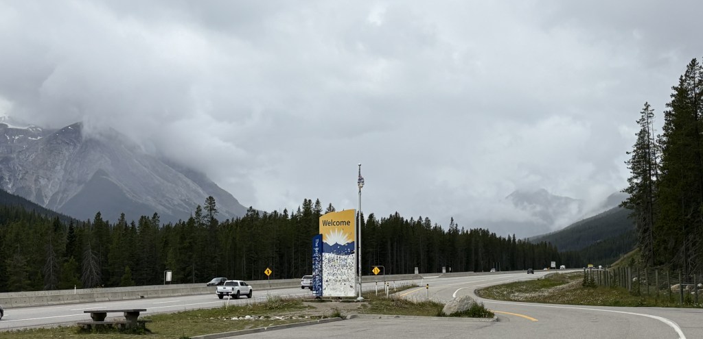
Here is a photo of the exit from the rest stop, with the sign welcoming me to British Columbia.

And further back in the rest stop, where my car was parked, a sign welcoming me to Yoho National Park.

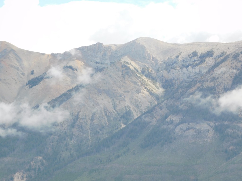
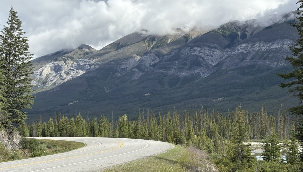
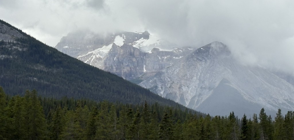
Now, if you look at the middle photo above you will see what was happening that caused me to stay right where I was for a while. The tops of many of the mountains I seen thus far today were partially obscured by clouds. No big deal. Well, and I sat in my car watching, the mountains ahead of me were being overtaken by more clouds, and what appeared to be precipitation falling from them. And whatever it was appeared to be coming towards where I was parked.

I was parked at about 5,400 feet elevation and the air temperature was 56 degrees Fahrenheit. I wasn’t sure if the temperature was going to plummet and snow or sleet might start falling so I opted just to stay right where I was.

Well, it never did anything where I was and the clouds and whatever form of precipitation was falling from them never reached me. Once the clouds dissipated I went on my way and drove through Yoho NP to Golden.

I will make a separate post about what types of things can be found in Yoho, as I passed through it several times over the next few days.


As I post this early on Wednesday, September 3 I have just made my Airbnb reservations which will take me from Prince George, BC on the morning of September 10 to arrive in Anchorage, Alaska in the afternoon of Sunday, September 14. I will share the specifics of that trip in another post, and will start planning my itinerary while I am in Alaska. I’m sure I will spend 2 or 3 days in Anchorage getting acclimated and finding out what things are open full time and what things have adjusted to a seasonal schedule.

Kootenay National Park – first look

After driving north about an hour and a half from Cranbrook I arrived in the little town of Radium Hot Springs. The Visitor Center there doubles as the Visitor Center for Kootenay National Park, the first of six National Parks I would visit while I will be based in the town of Golden, BC for 6 nights. Rather than backtrack I decided to go ahead and drive through the Park on highway 93S. The road starts in Radium Hot Springs (and there are actual hot springs within the Park) and ends at the Trans Canada Highway, in part of Banff National Park. From there I would also drive through another, smaller National Park, Yoho, on my way to Golden. I will find a map showing all of these places so it will be easier to follow along.

Kootenay is the third largest of the six Parks I will visit in the next few days. The road in a normal 2-lane highway with a 90km/hour speed limit and an occasional passing lane as the road rises and falls in elevation throughout the Park. It slows down from that top speed in areas where people are parking for trails and such, or for the few activities scattered throughout the Park. I just stayed on the main road, other than pullouts for viewpoints to take photos, and a parking area for a waterfall and a river. I am not a hiker, especially at elevation, so the highway is fine for me, and there was plenty to see. The highway is only 64 miles long but they say to allow 90 minutes for all the stops you will be making to take photos.

There are LOTS of mountains, and at this point I am unable to identify all of them so I won’t even try. I am calling this post #1 because I will actually be coming back here to do the exact same drive again in a few days when it will be a clearer day. As you will see, some of the mountains were partial obscured by high clouds on this pass.

So for now I will just post photos of what I saw, with a few explanations, and will go into more detail when I get to pass #2. The map they provide doesn’t even list all the mountains you will be seeing, another reason why I won’t even start trying to identify them.

Of the mountains listed on the map, 2 are over 7,000 feet in elevation (near the southern entrance), 6 are over 8,000 feet, 11 are over 9,000 feet and 5 are over 10,000 feet. And they don’t even include the highest peak in Alberta province, Mount Assiniboine, which towers above all of these at 11, 870 feet. It is located in its own Provincial Park, just to the east of Kootenay. I couldn’t even see it because other, smaller mountains, separated us.

So sit back and enjoy the views, as I did:

All of the photos in this post were taken with my smartphone except the next two. They were taken with my digital camera, using a zoom lens. I don’t know enough to tinker with the camera settings and when posted together they look rather “washed out”. I include them only to show more detail than is shown on the larger photo, above.

This is the Kootenay River, looking south (the direction I was coming from). The color in many local rivers vary from a pale, chalky white, to a pale blue or turquoise color, as many are fed by melting ice from glaciers – snow and ice packs high atop the tallest mountains which have snow on them year round (and which contribute to the clouds which often appear over mountains on an otherwise cloudless day).

Same place but looking north:

And trust me, the water was VERY cold.

This was part of the Park which burned in a wildfire back in 2017. Canadian National Parks have probably all suffered wildfire damage at one time or another over the years. Some are fortunately very small and can quickly be contained if they threated people or structures. There was a small fire near Dog Lake earlier this year but I didn’t see any evidence of it. The area shown in the photo above is near Simpson Rock and was part of the larger Verdent Creek wildfire in 2017. It consumed 38,300 acres (about 60 square miles) and was believed to have been started by lightning.

This is a small waterfall, Numa Falls, located near the north end of the Park. Not a very steep drop-off but time has worn some very curious patterns into the rock on either side of the water.

These mountains are actually in Banff National Park but they were in front of me as I left Kootenay. I passed directly from Kootenay to Banff National Park at the Continental Divide (and by doing so entered Alberta Province), turned left on the Trans Canada Highway which would run for several miles (within Banff), and then cross directly into Yoho National Park (which put me back in British Columbia!). It all happens very quickly, so no need to adjust your clocks!

I will cover all of these in separate posts. Banff National Park is enormous and will be covered separately over several days. Yoho, which means “hello” in the native Ktunaxa and Secwepemc dialects, didn’t have that many big mountains but it had other things which I will address in separate posts. I would pass through Yoho several times, in both directions, in the coming days, getting to and from Golden and points east.

And believe me, there were MANY. MANY more mountains than what I’ve shown. This was not a great picture day, and it was my first day in the Parks. I now know that I took better photos a few days later, so be sure to review that post (#2) carefully as it will contains lots more photos.