May 25, 2017
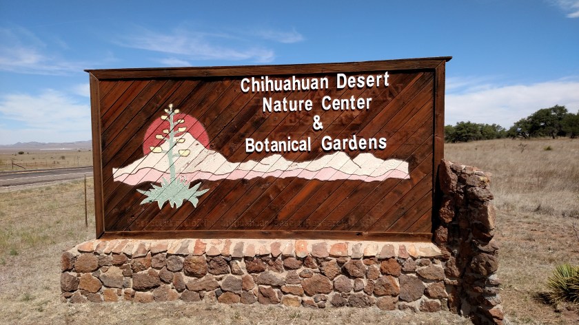
I started the day driving north from Alpine towards Fort Davis to stop at a facility I had seen the day I arrived in the area but didn’t have time to visit – the Chihuahuan Desert Nature Center:
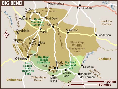
Here is a map of the total area covered by the Chihuahuan Desert:
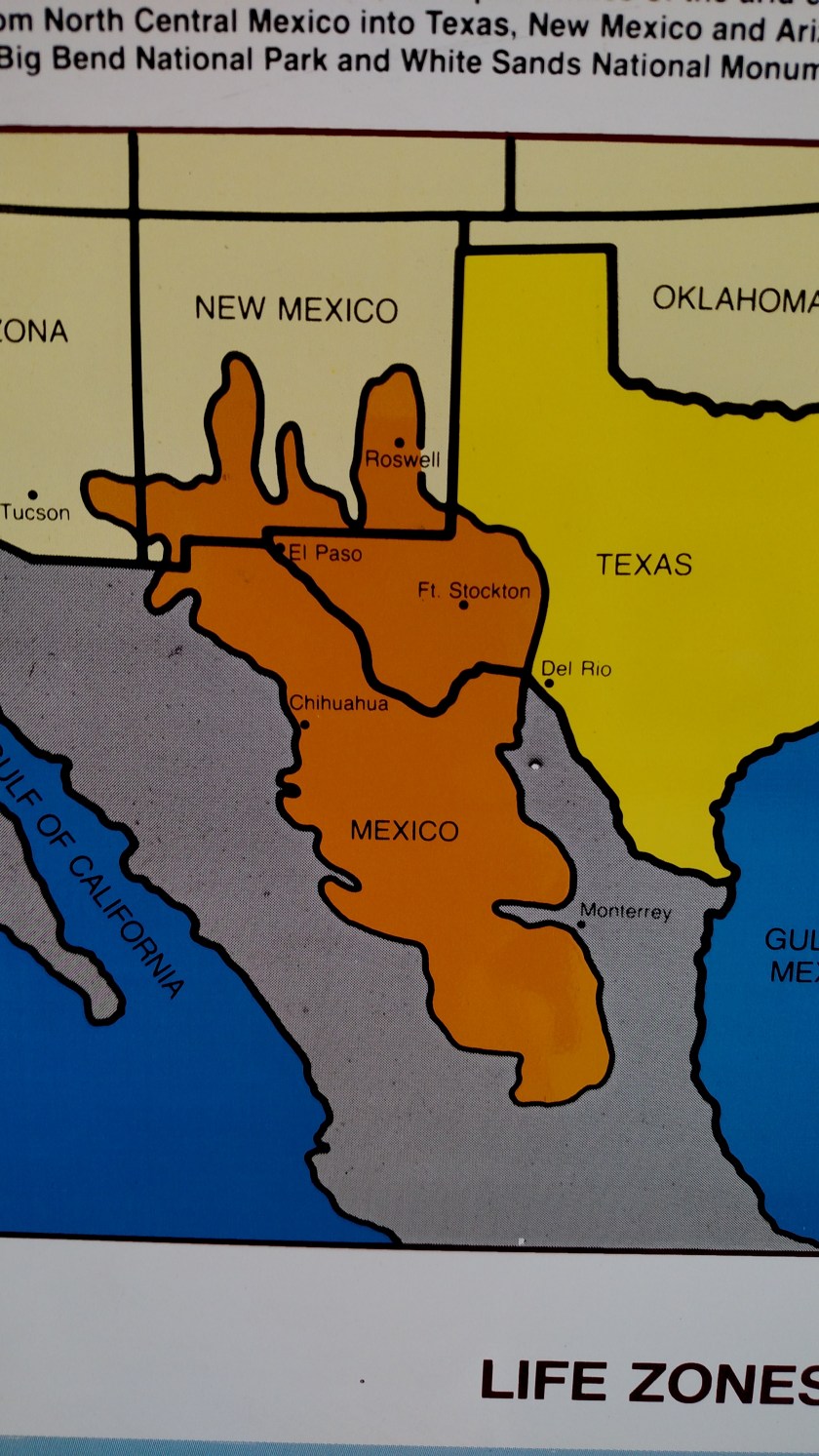
Fort Davis is located in Texas, west southwest of Fort Stockton.
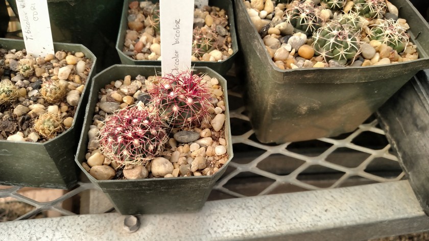
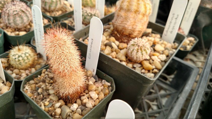
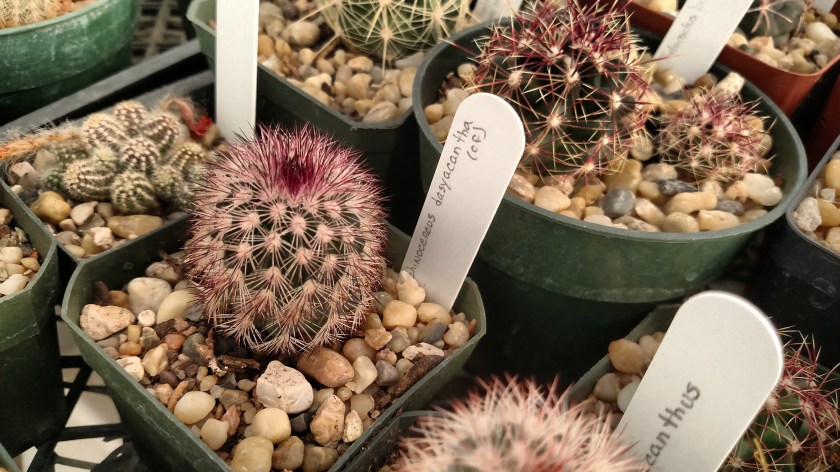
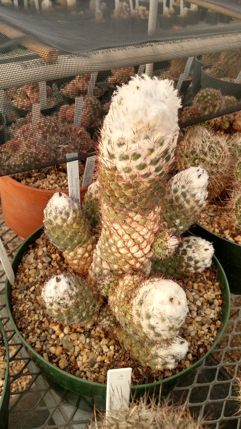
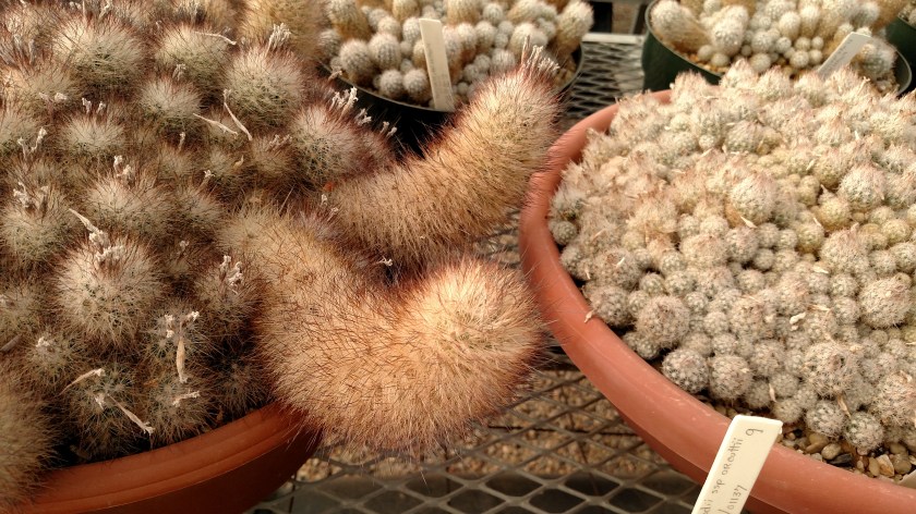
The Nature Center and Botanical Gardens had a wide variety of full sized plants outdoors on a nice walking path. What intrigued me even more (and provided better photos) were the wide variety of young plants located inside the greenhouse. All the plants you are about to see are native to the Chihuahuan Desert.


When I was finished at the Nature Center (more photos in Post 2) I returned to Alpine, then continued south to make a large clockwise loop on a series of scenic roads.
Yesterday I drove to and through Big Bend National Park before returning to Alpine (335 miles total for the day). Today I traveled south on Route 138 (which I had driven north on the previous afternoon) to Terlingua, then west through Big Bend State Park to the town of Presidio (on one of my primary scenic roads), then north on Route 67 to Marfa. What I did there will appear in another post.
Total mileage for the day – 326 miles.
