August 9, 2025
After returning to Golden from Jasper National Park I had now seen parts of 4 of the 6 Parks I planned to visit while I was based in Golden. Today I would go west, continuing on the Trans Canada Highway which brought me to Golden, to visit Glacier and Mount Revelstoke National Parks. Of course there is a Glacier National Park in the United States (in northwest Montana) which connects to the Canadian border but on the other side of the border the Canadian National Park there is called Waterton. I will visit it later in my trip.
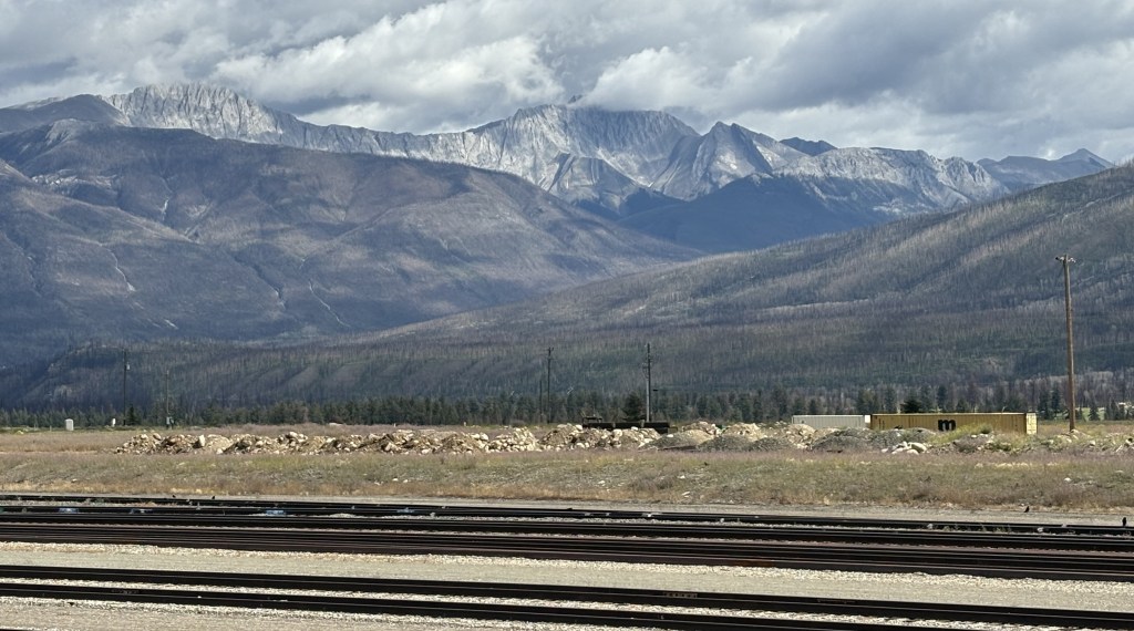
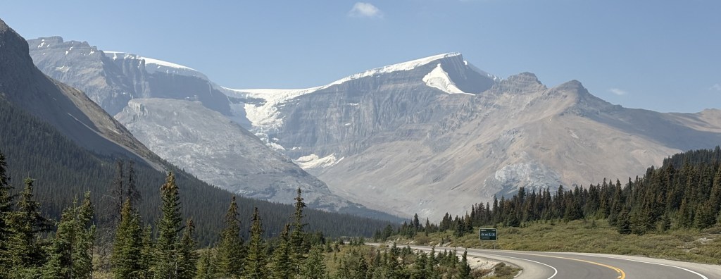
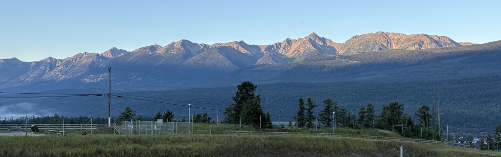
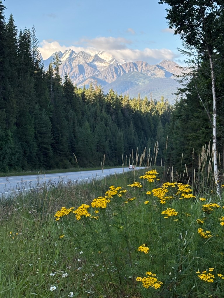
I arrived in Golden towards the end of the day August 7 and left early on the 8th to backtrack and go north to Jasper. As I embarked on my drive west today I had my first good look at some of the mountains around Golden.
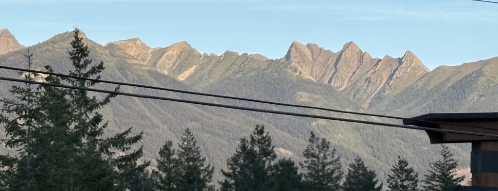
Those are all located west of Hwy 1 (the TCH) and actually sit between Golden and Glacier NP, which is located due west of town. I would have to drive northwest on Hwy 1 to the town of Beaver before turning back south to get to Glacier.

(Photo credit: Parks Canada)
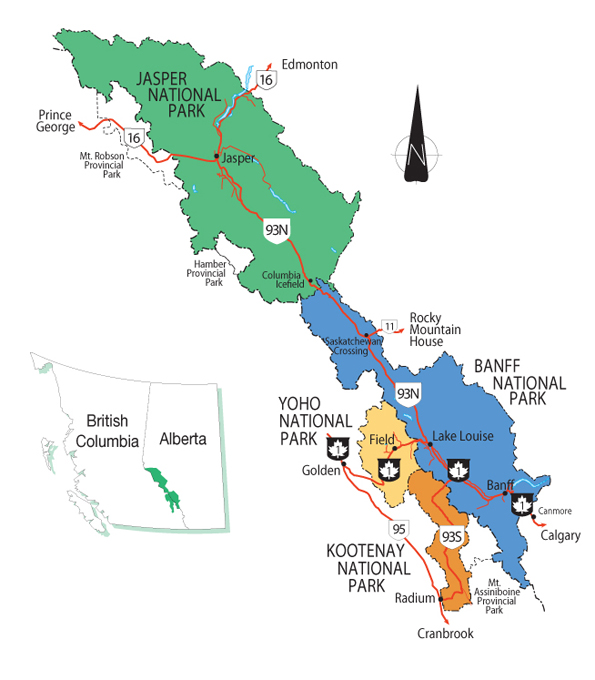
The map above shows the two Parks I would visit today. Compared to the Parks I have seen so far these are quite small. Glacier NP covers 521 square miles and spreads out on both sides of Hwy 1. About 10 miles separate the two Parks, and Mount Revelstoke covers only 100 square miles, all on the north side of the highway.
Here is another map showing some more details:
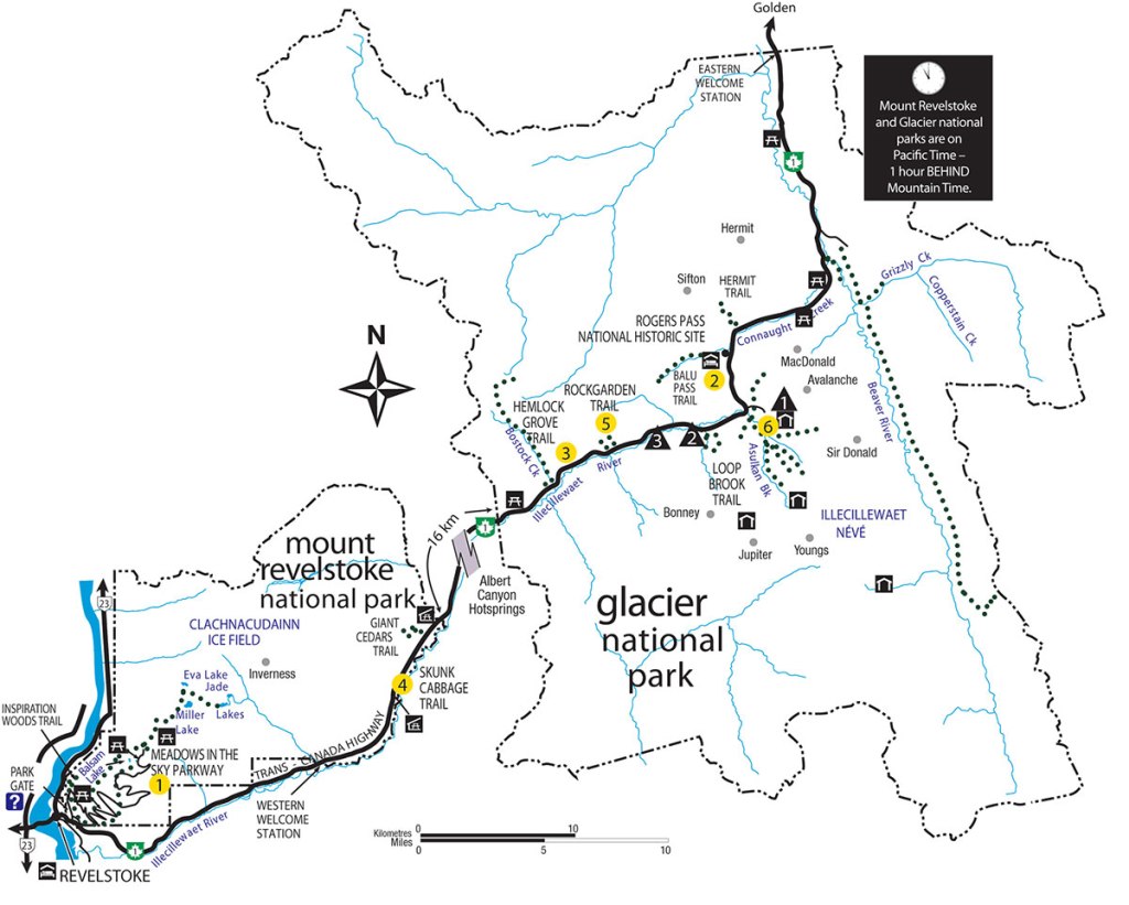
(Photo credit: Parks Canada)
As you can see, the Trans Canada Highway (Hwy 1) is the only road passing through Glacier National Park, although there are several hiking paths which branch off in multiple directions.
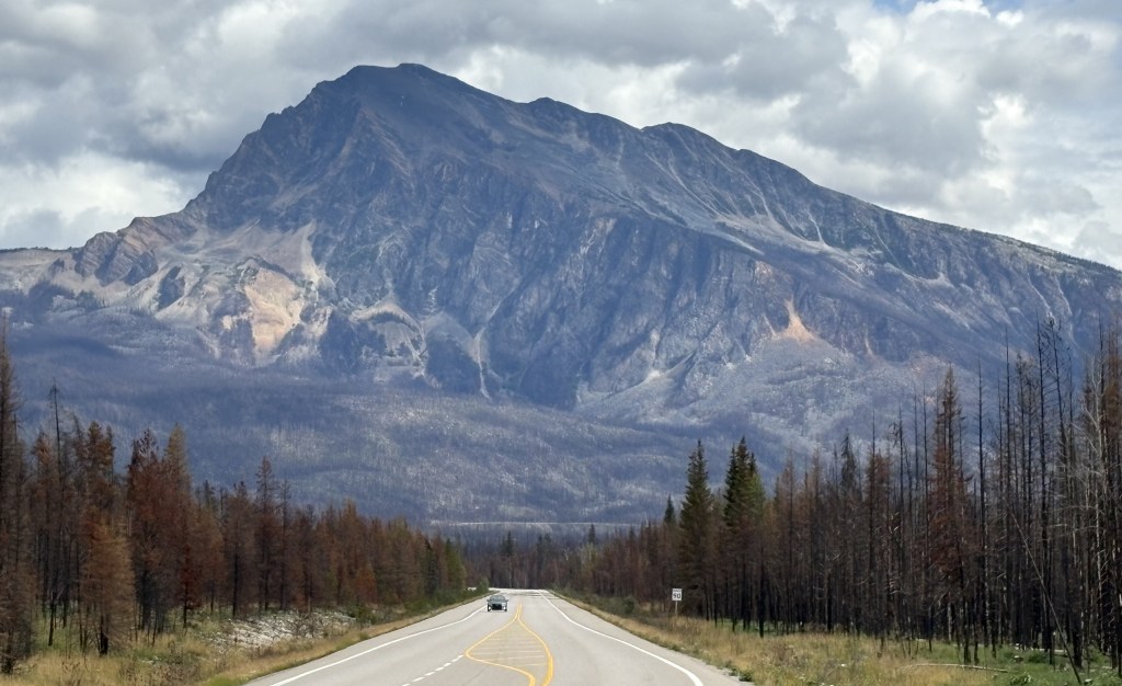
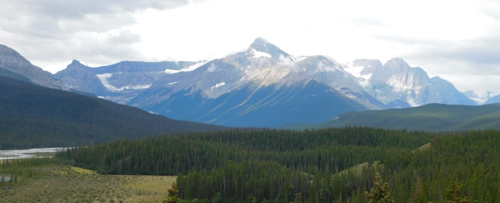
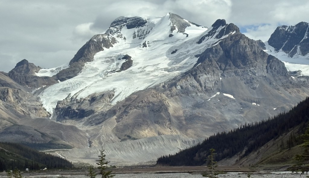
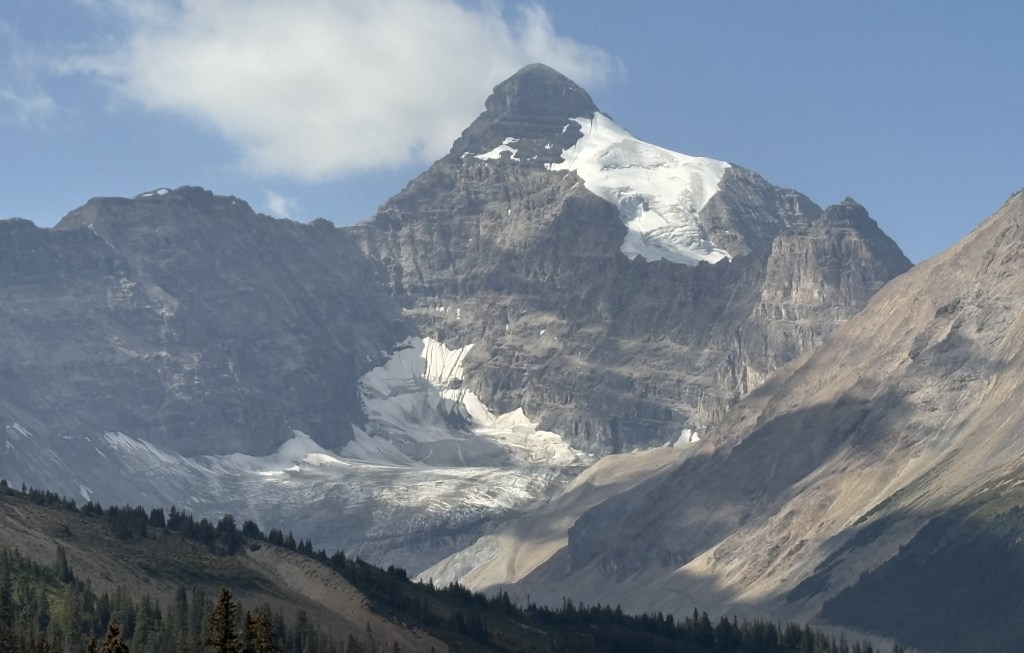
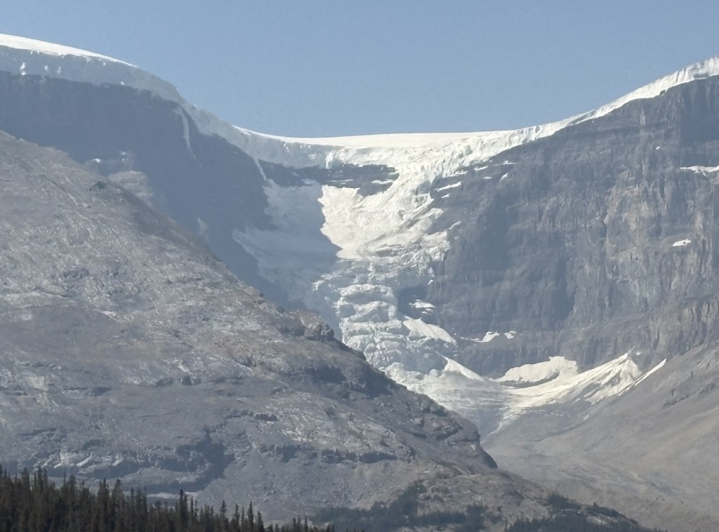
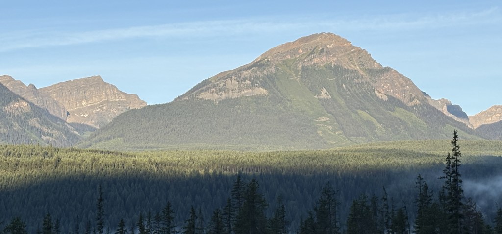
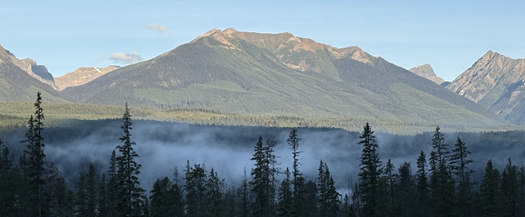
I saw this impressive mountain as I approached the Park.
Once again I am faced with the naming problem. I suspect that may be Mount Dawson (because it has snow on it and is over 11,000 feet tall) but it is located pretty far off the highway so I may be mistaken.
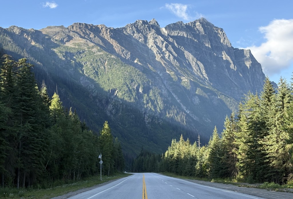
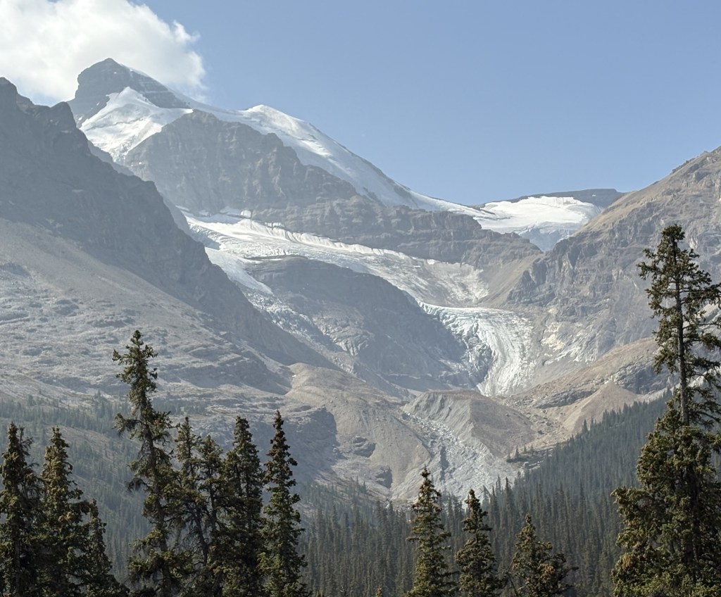
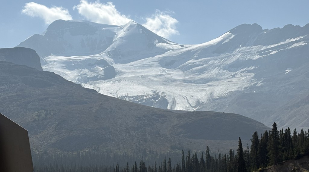
This, I believe, is Mount MacDonald, which is about 9,500 feet tall.
After seeing these two mountains as I approached the Park the area next to the road narrowed as it started to climb up to Rogers Pass. Before getting to the Visitor Centre there I stopped at one of the parking areas for the Hermit hiking trail. Here I found several signs with some stern warnings.
First, I was now in avalanche country.
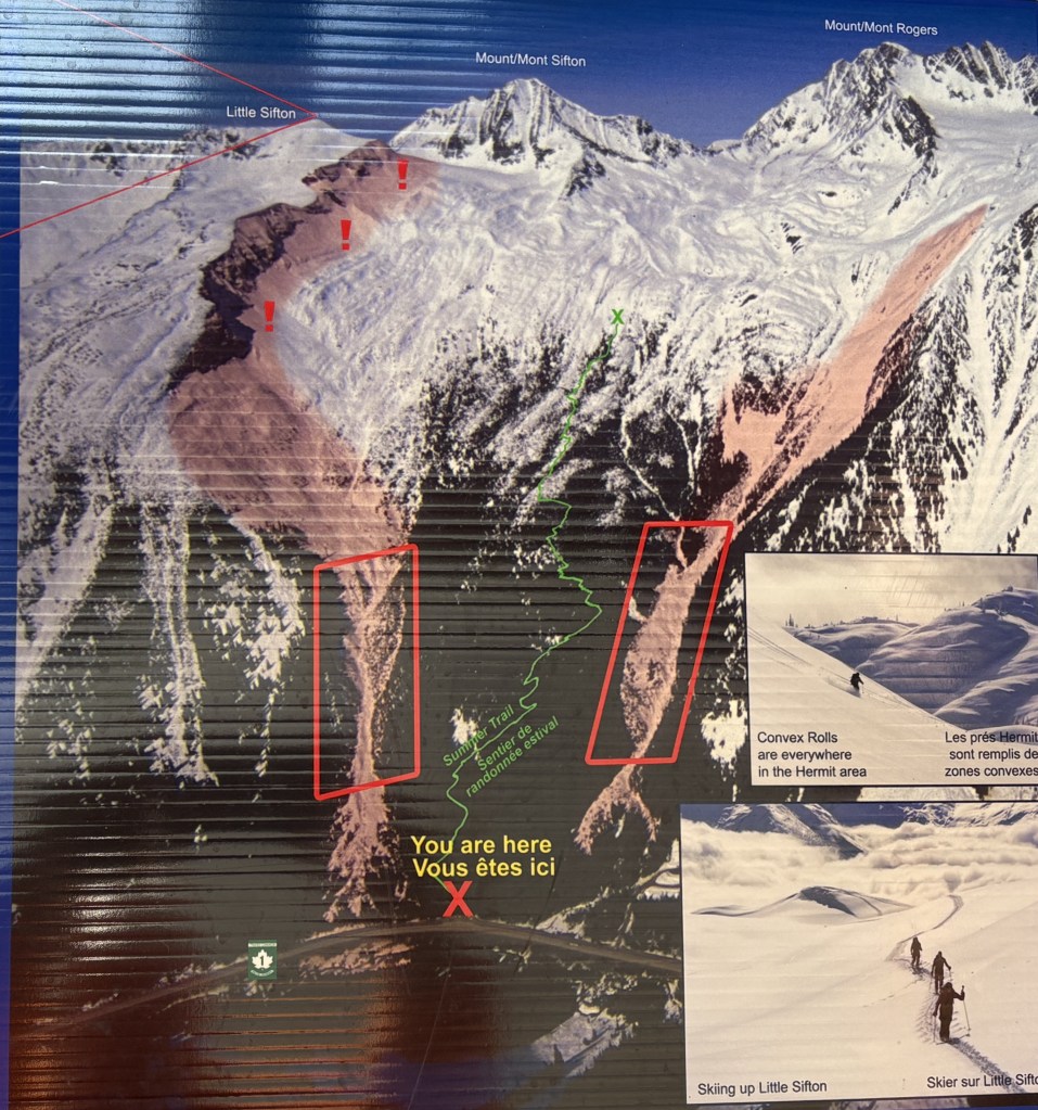
As you can see from the “You are here” X, the road is passing through near the base of these mountains, creating both a significant avalanche risk (though hopefully not on August 9) and also preventing me from seeing other mountains on either side of the highway.
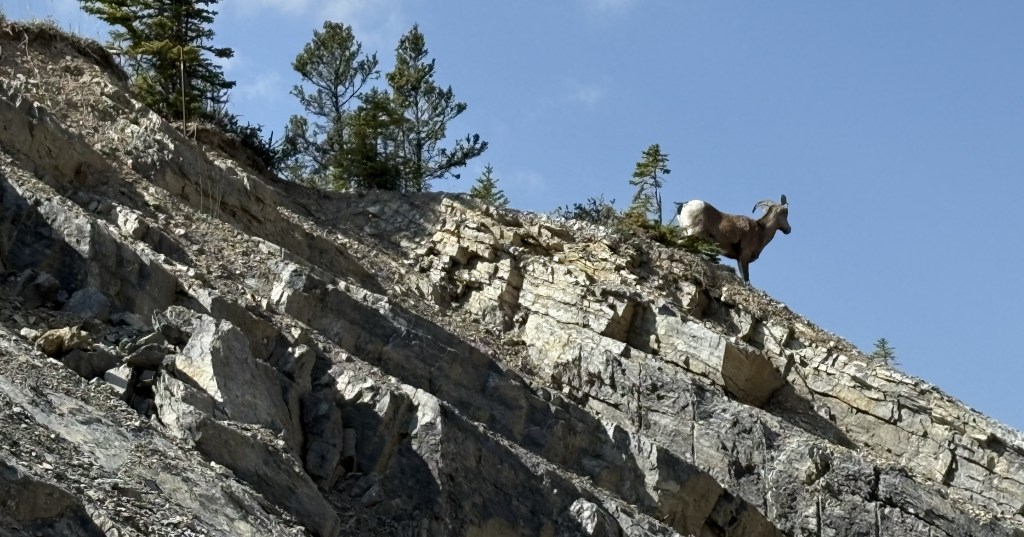
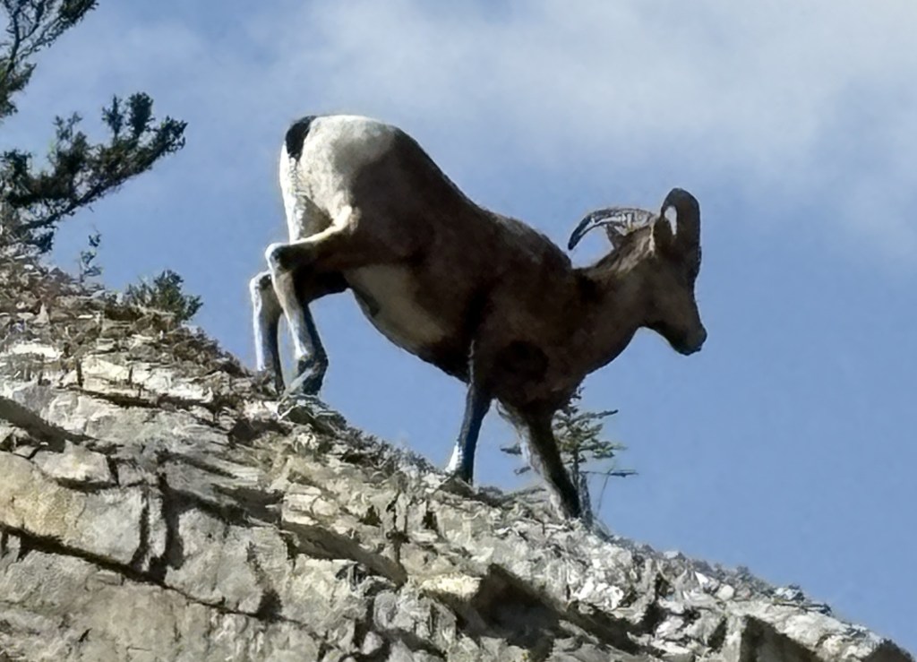
Another sign warned me that I was in Grizzly and Black bear country and that I should take appropriate safety steps (e.g. don’t hike the trails alone, keep your distance from wildlife and carry bear spray). There was also a warning about mountain goats in the area, asking me to report any sightings. Curiously the sign didn’t ask me to Dial 911 for emergencies but, rather, listed a traditional phone number with area code. I presume this is because there generally isn’t cell service in any of the Parks and you would need to send an emergency text IF you could find a satellite signal.
I later read that the number one cause of death among visitors to Glacier National Park is water. People underestimate the power and extreme cold of the water within the Park, and if they should fall into it they are quickly overcome.
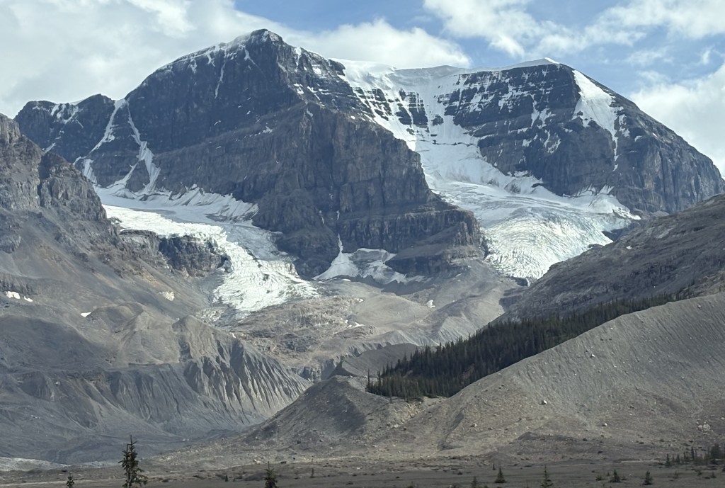
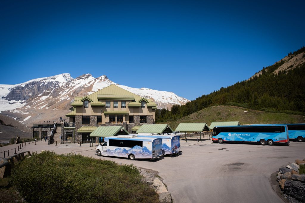
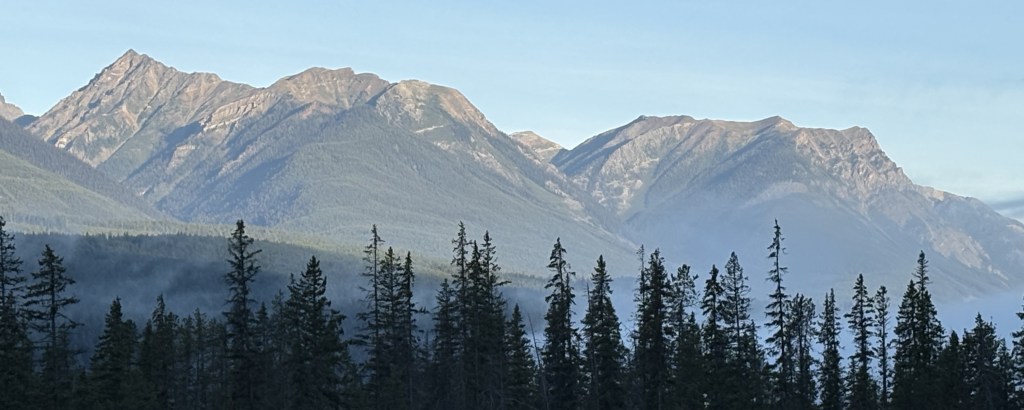
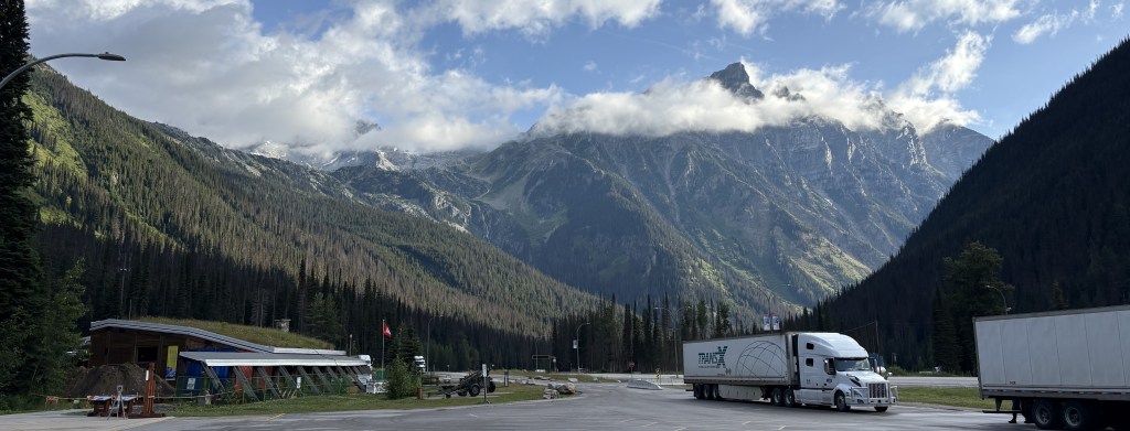
I resumed driving and stopped at the Rogers Pass Discovery Centre, only to find it closed, but for the bathrooms (which are called washrooms in Canada). It is being renovated and/or replaced and was not open. I had apparently gained some altitude as when I looked across the parking lot as I was leaving I could see a mountain back from where I had just come.
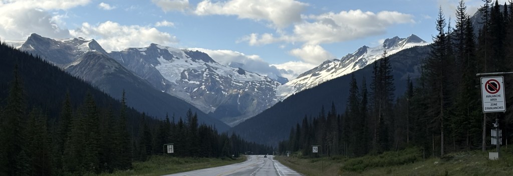
As I was about to pull out onto the highway I could see a few more mountains spread out before me.
Further up the road I came to a spot where they were doing some road work.
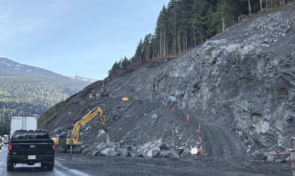
When I mentioned this to my Airbnb host in Golden he said it is a long overdue project to widen the highway from 2-lanes to 4-lanes.
So that was really all I saw of Glacier National Park. There are lots and lots of mountains, and a large number of glaciers, but you can’t see them without getting off the road, and even then you may not see very much.