September 11, 2025
Today is the day I start my trek towards Alaska! I would drive about a half hour west to the small town of Kitwanga and get on Hwy 37, also known as the Stewart-Cassiar Highway, for the 450 mile drive north. Total drive time for the day will be 9 hours.
I saw this when I got out to the main highway after leaving my Airbnb.
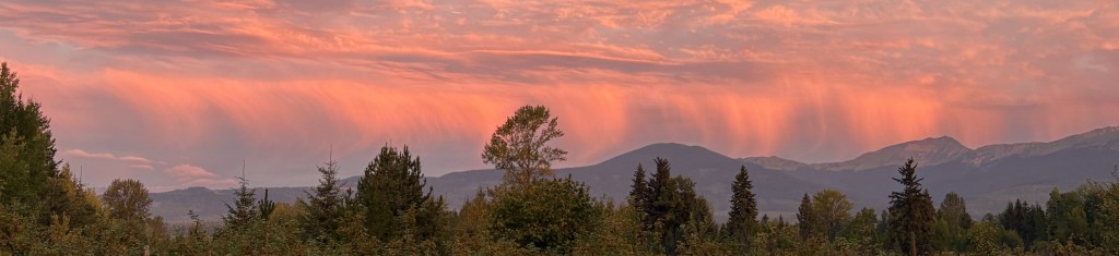
That was looking west towards the coast, although the ocean is pretty far away. I don’t know what caused that effect (other than the rising sun), but it really caught my eye. I was driving into town to fill my gas tank before heading north.
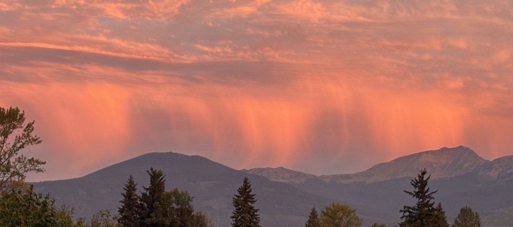
When I reached Hwy 37 about a half hour later I turned right and immediately drove over a bridge. This time the dramatic view was to my right – looking east towards the rising sun.
After crossing the bridge I stopped to take pictures of two signs.
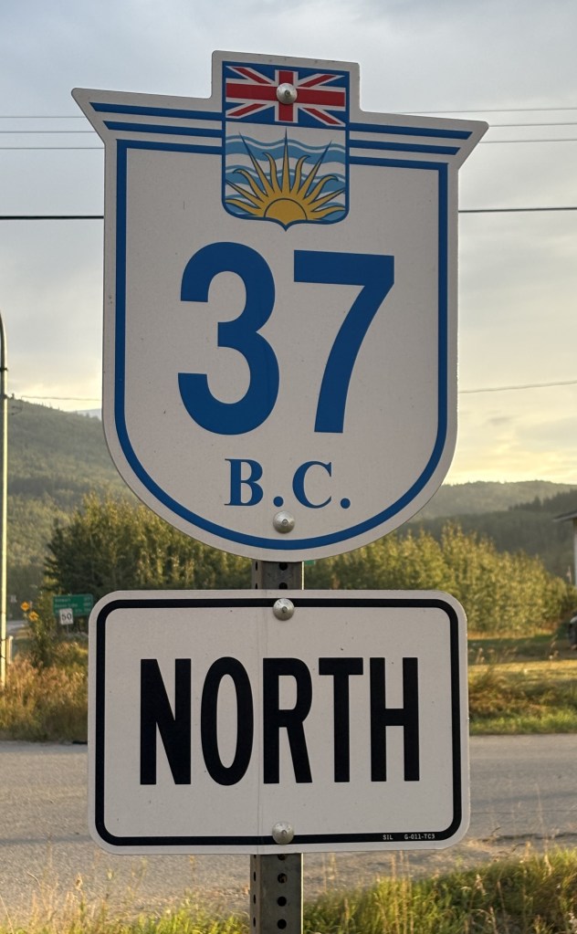
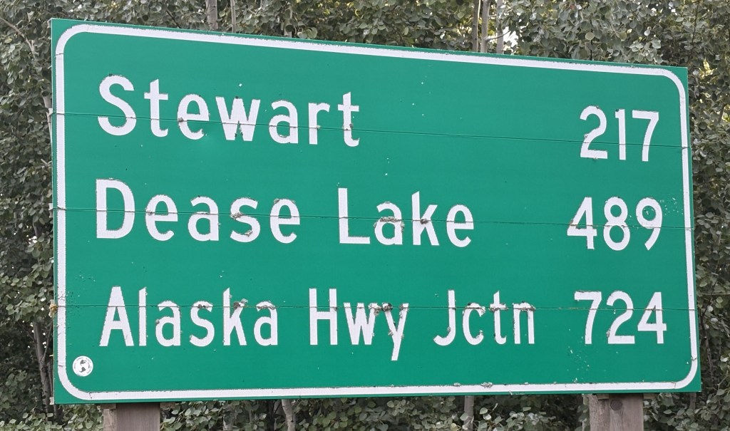
The distance sign shows 724 kilometers (450 miles) to get to the Alaska Highway.
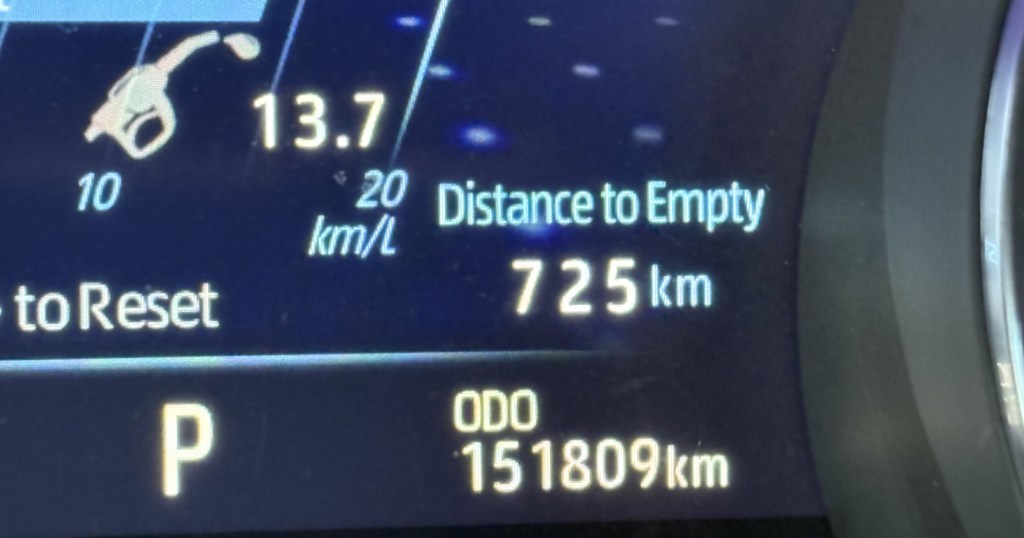
Good thing I had just filled my tank! Various people I had spoken with, including the RCMP, had advised me to fill my gas tank at every opportunity along the way. They said there would be a few opportunities (I counted about 6). I did plan to stop about halfway north. I was driving during the day, and the weather and temperature were ok (though it would rain later). The road, however, was a complete unknown and I didn’t really know what to expect. The RCMP told me it is paved most of the way and, of course, to watch out for animals.
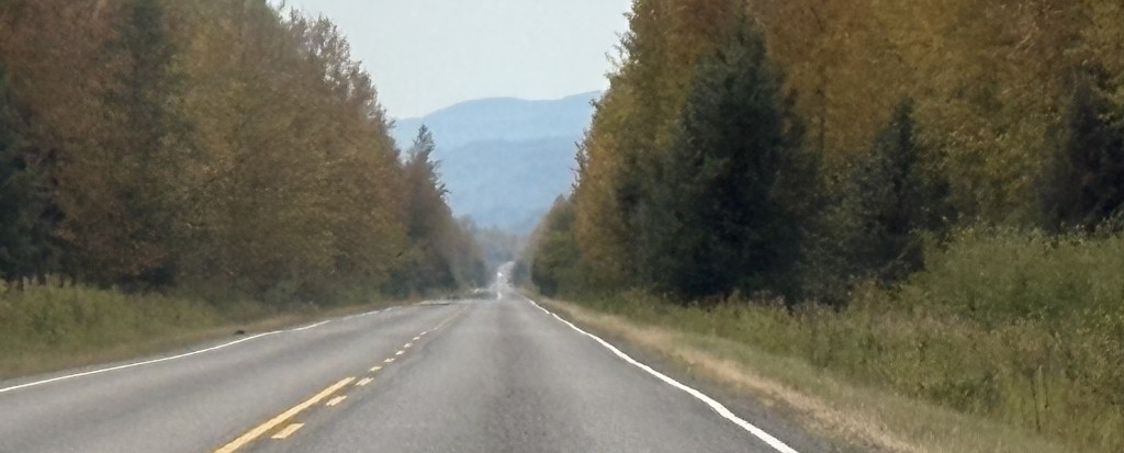
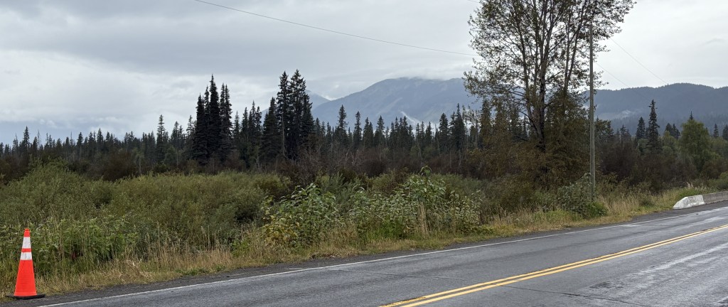
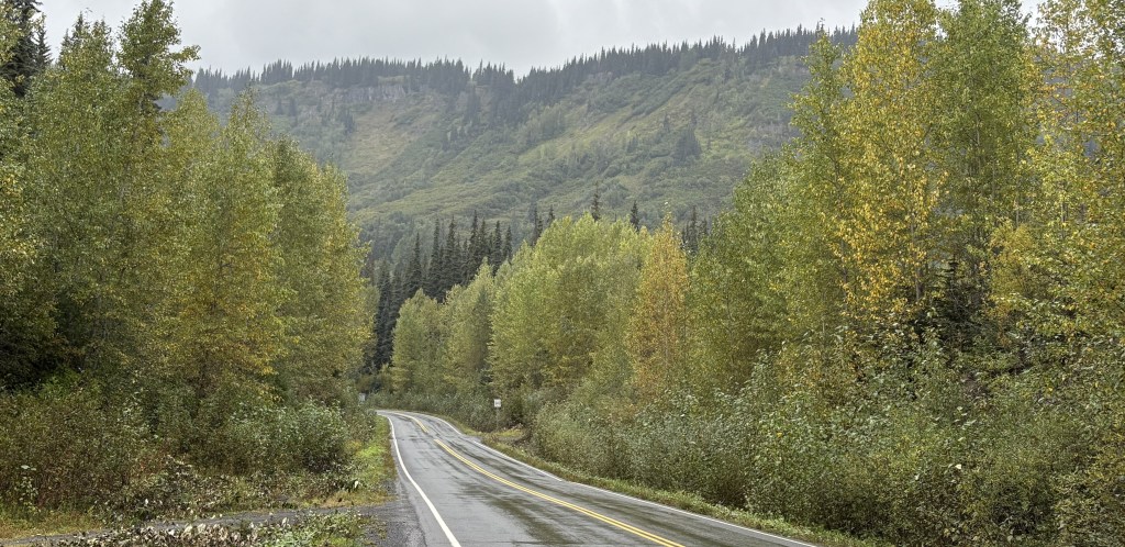
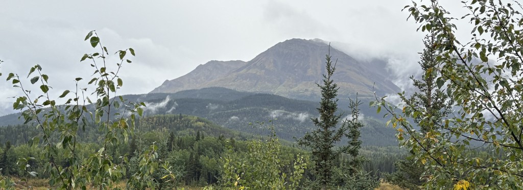
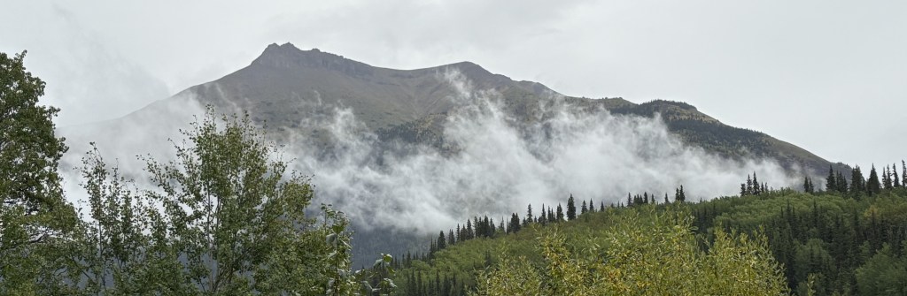
Here are some of the things I saw during my drive north:
Right off the bat, a sign warning of animals.
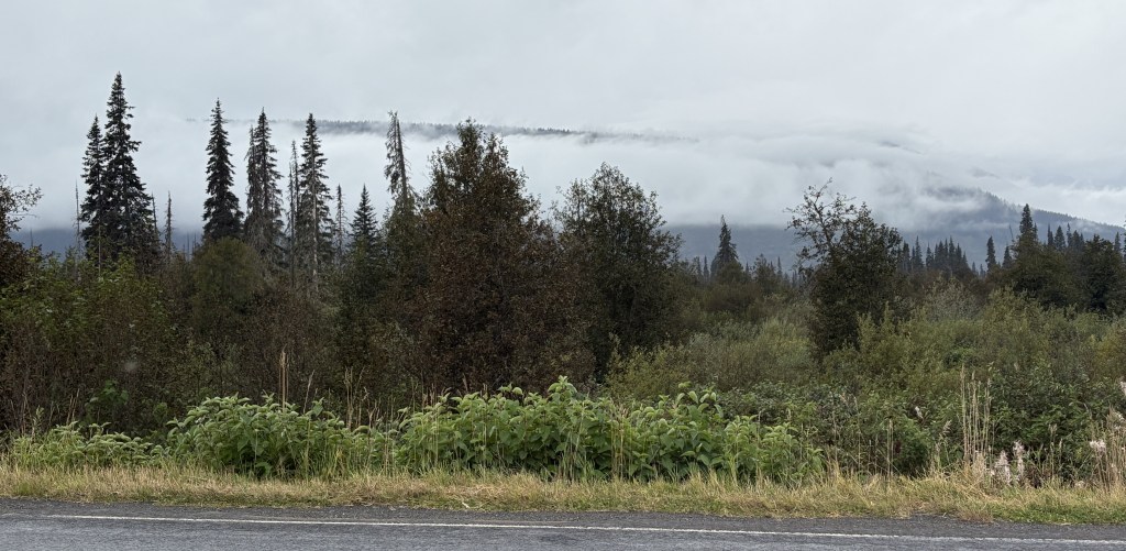
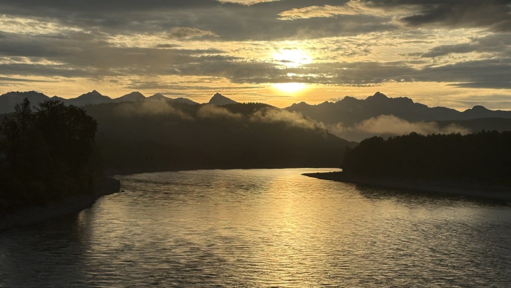
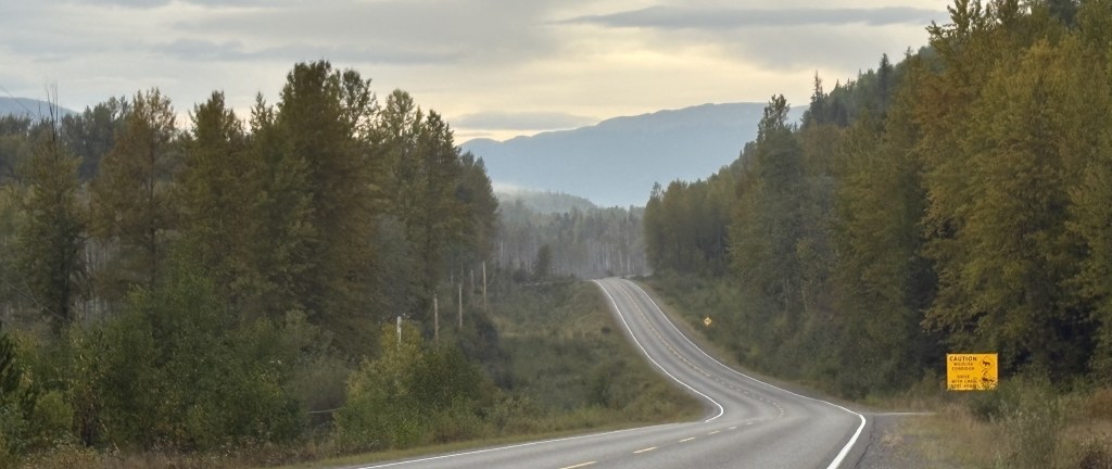
The cloud ceiling had been pretty high when I started out but I could tell that it was starting to lower. It had already started to rain lightly.
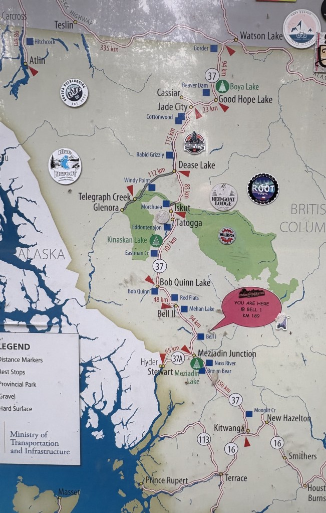
I stopped in a pullout area after crossing the Bell 1 bridge. This map shows the route I am taking – from Kitwanga at the bottom to the red arrow in the upper right hand corner (just west of Watson Lake). My destination for the day is a place called Nugget City, less than 2 miles west of the intersection with the Alaska Highway, and it is, barely, in the Yukon Territory province. Also note the bright white area on the left side of the map. That is the southernmost part of the Alaska panhandle. Earlier on my drive I went past the turnoff for Stewart, Alaska. As you can see, a highway does go there but stops just after the border
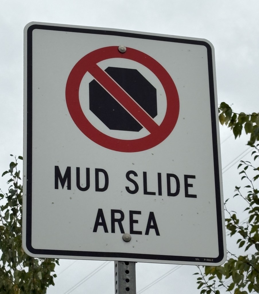
That is a relatively small sign warning me not to stop as I was in a mud slide area. Terrific…
(continued next post)
