September 14, 2025
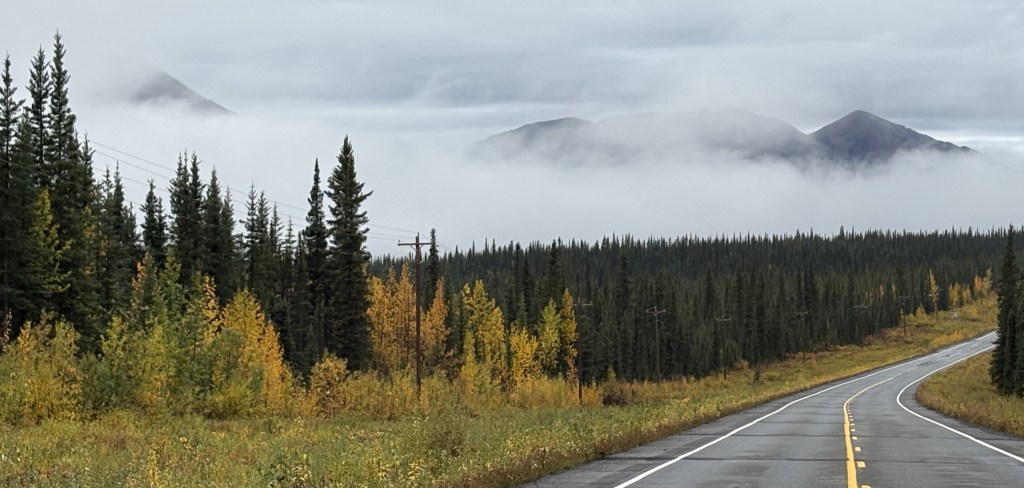
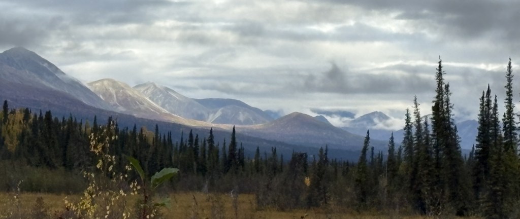
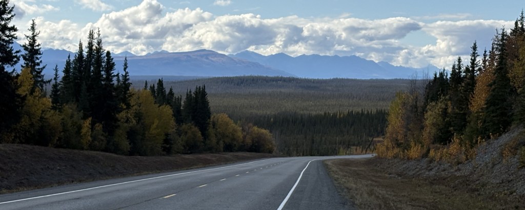
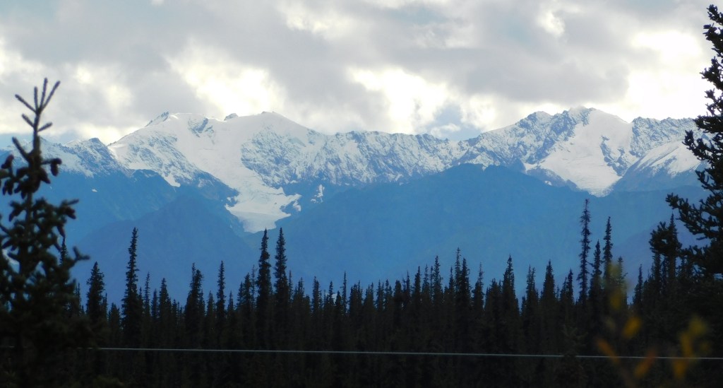
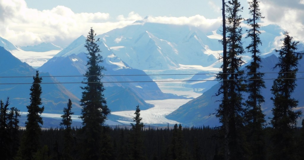
As I travel between Tok upstate and Anchorage near the water, the road would take me on a long open stretch between Glennallen and Palmer. A little short of halfway the road rises to an elevation of about 3,000′ (Tok and Glennallen are at around 1,500′). There was a constant string of mountains to the south and I started to see snow on some of them, and the telltale cloud cover which seems to occur if there is snow or a glacier at high elevation.
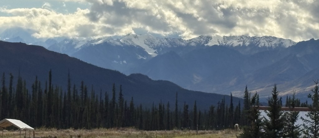
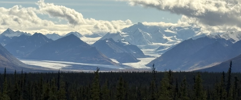
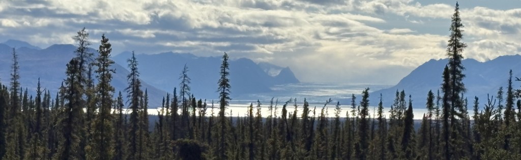
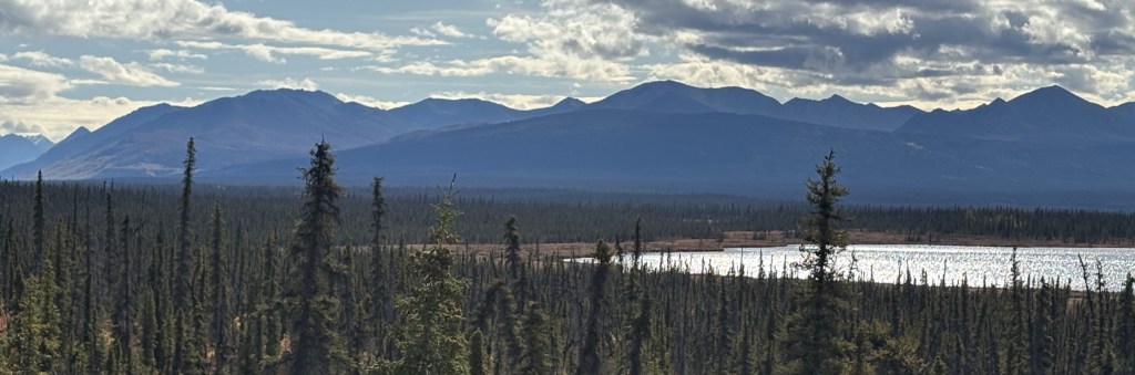
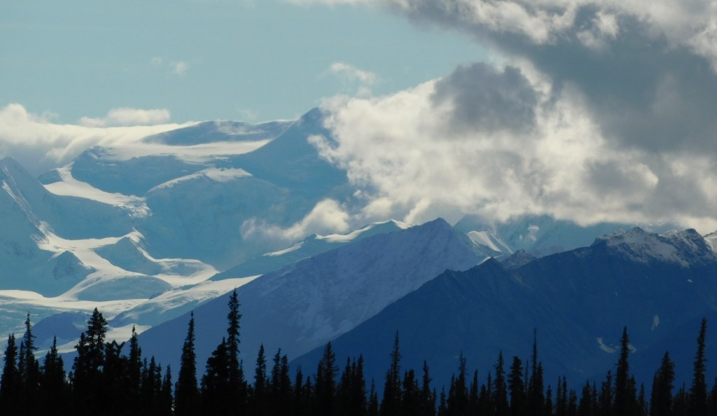
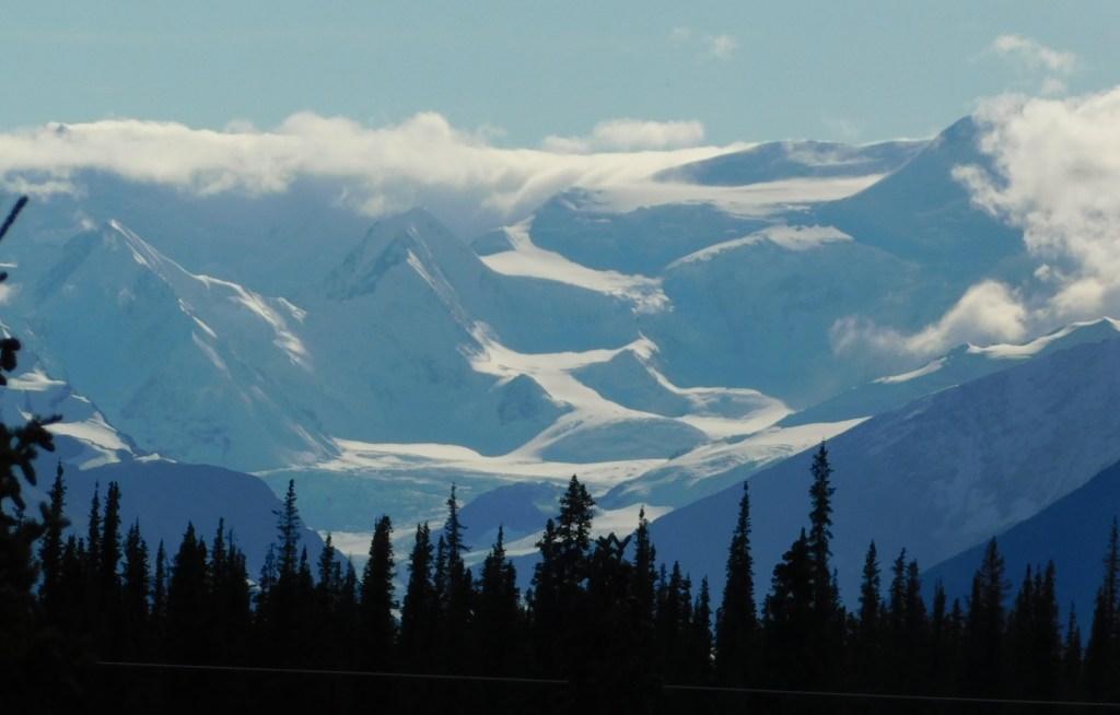
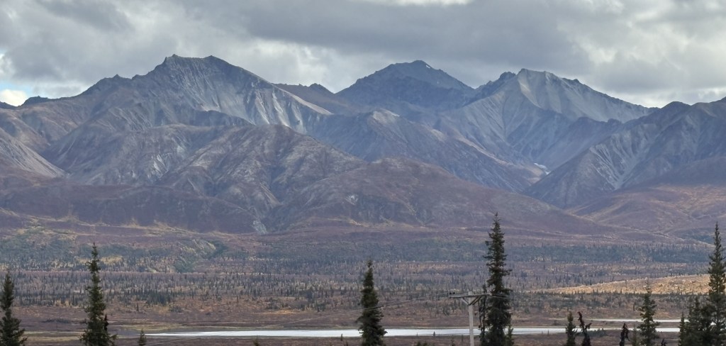
Some of the mountains shown above have a solid coating of snow. And before I had a chance to stop and get to a place to take those photos, I could tell that the clouds on the right hand side were obscuring an even taller peak covered in snow. I believe that tallest mountain is either Mount Witherspoon (12,012 feet elevation) or Mount Marcus Baker (13,176 feet elevation). And each of the peaks in the photo, snow covered or not, are separate mountains in that “small” area. When I got to Anchorage I asked if there was a map showing the locations of all the glaciers along the coast and was shocked to learn that there are over 100,000 glaciers in Alaska and there are no maps to make identification easy.
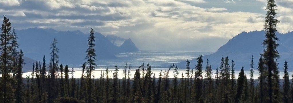
Here are a few shots I took with the digital camera and a zoom lens.
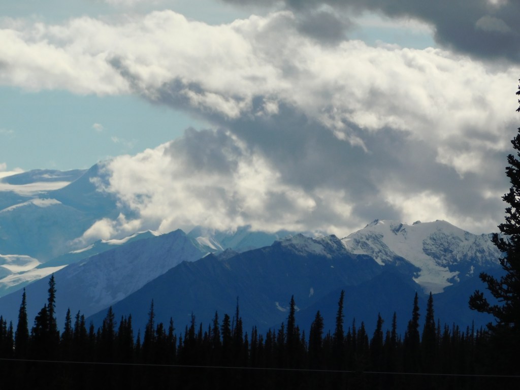
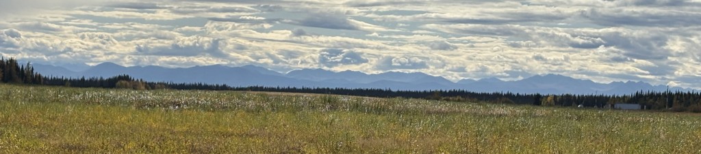
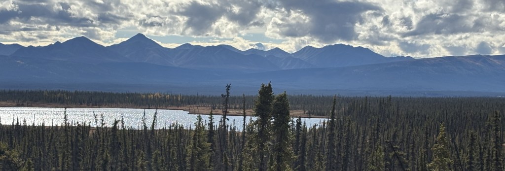
And back to my smartphone for the rest of this group as I continue driving towards Anchorage.
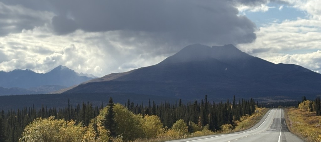
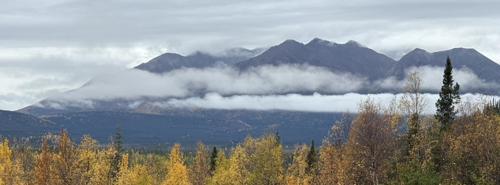
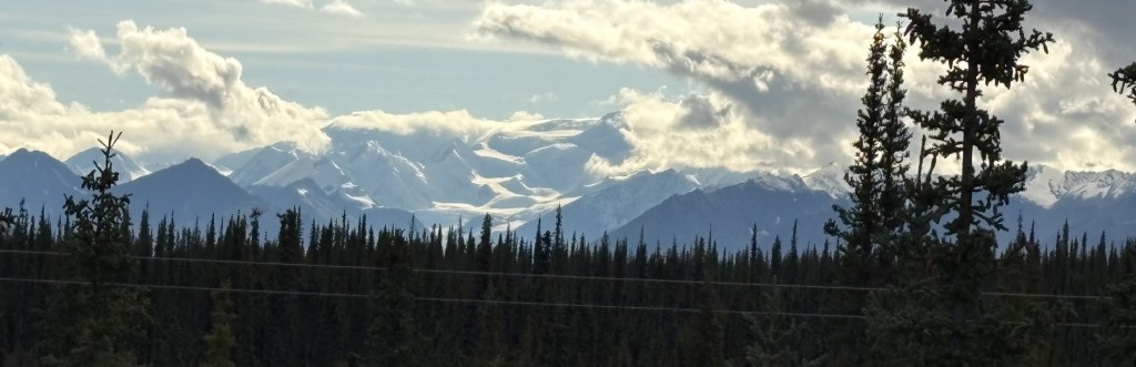
That mountain ahead of me had rain falling from the clouds above it. The next ones are what I call the “brown mountains” which appeared to be shorter and without snow on them.
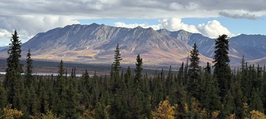
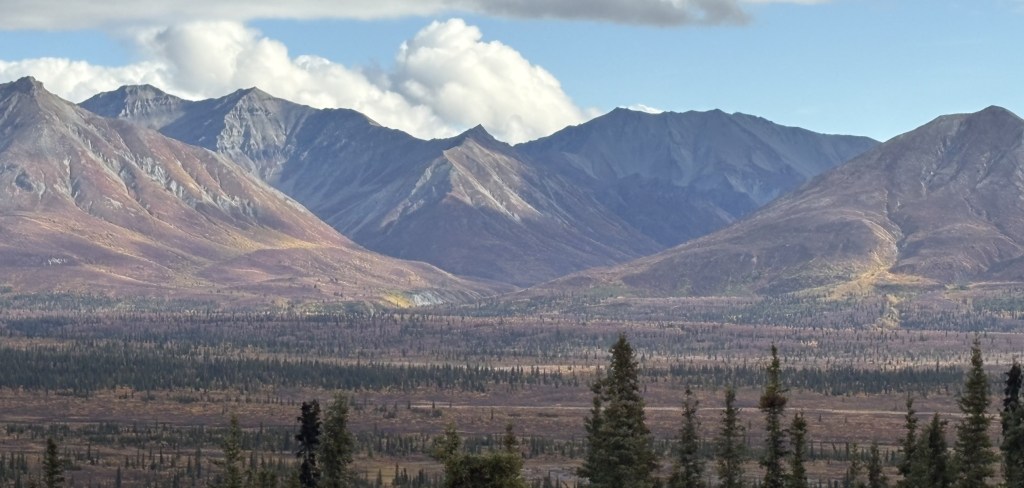
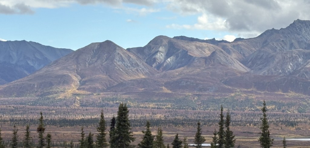
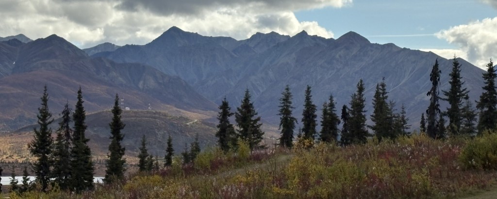
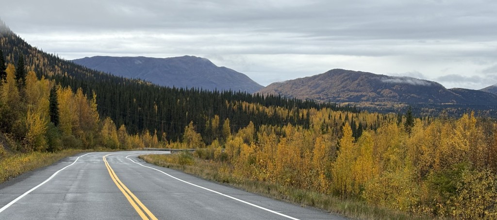
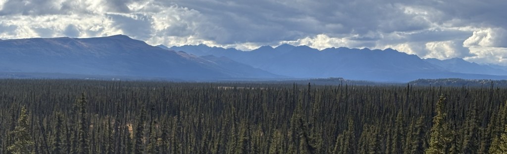
With clouds behind them, that group appeared to be closer to the highway I was on, and were very likely obscuring the view of other mountains behind them. There are lots of mountains between the highway and the coast.
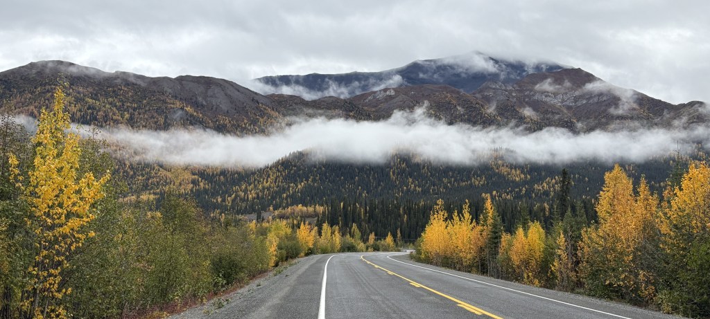
Once I got past Eureka Roadhouse the mountains would start to play hide and seek (in Part 3).