Preview of Denali NP – Part 2 of 2

September 19, 2025

Part 1 of this post included photos of my drive in to the 15-mile mark, which is where the paved road ends. Here are some of the things I saw on the way out. I still had a 2-hour drive to get to Fairbanks before dark so I could only spend a short time in Denali National Park today, but I will be coming back for 3 1/2 days later in my trip.

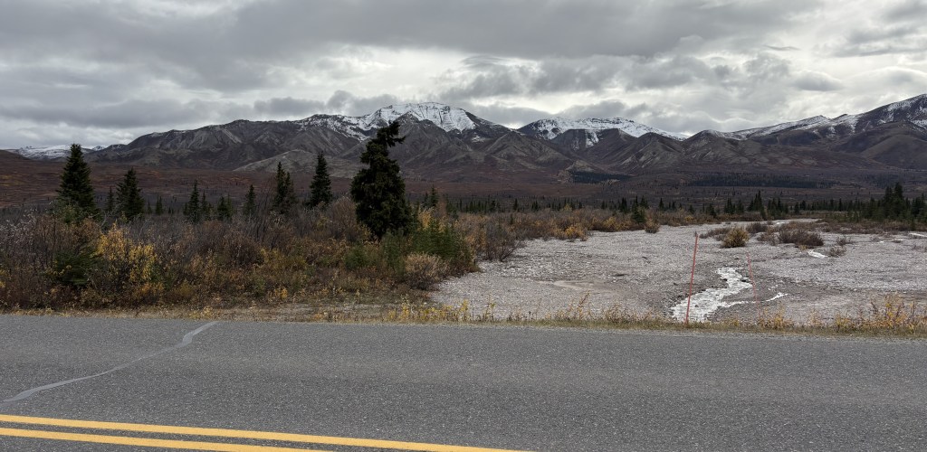
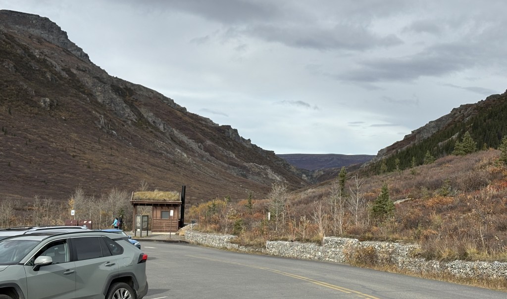
That is the view looking back out at Park Road from the parking area next to the Savage River. You will see a few more of those mountains on the way out.

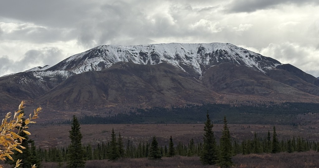
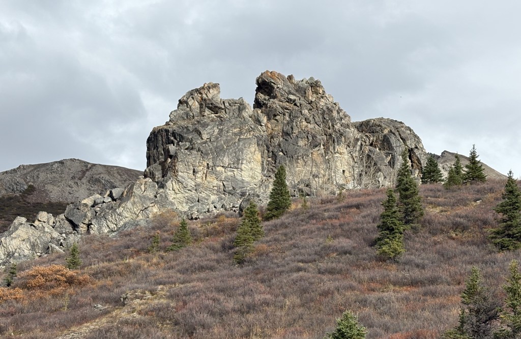
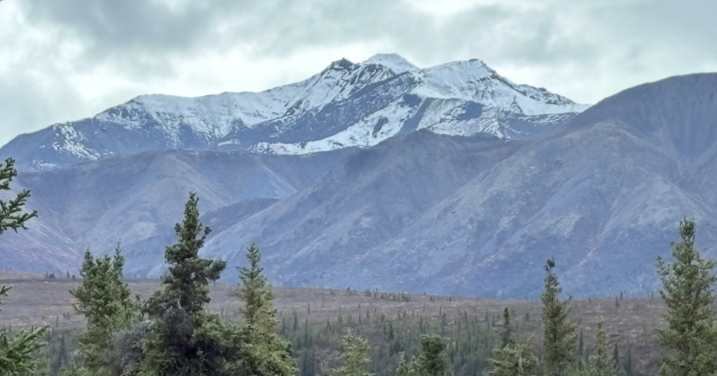
That is a full view of the mountain on the other side of the river from the parking area.

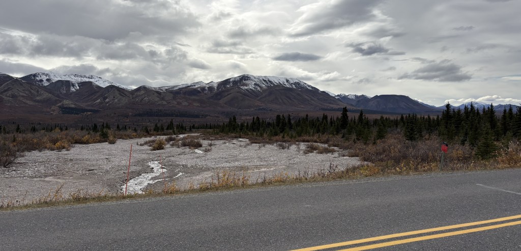
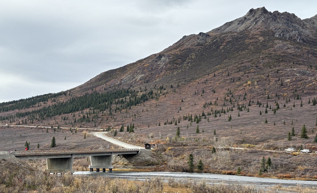
That is a view of the Savage River looking south from a point near the bridge over the river.

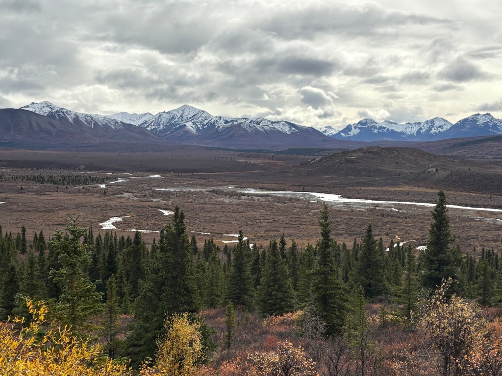
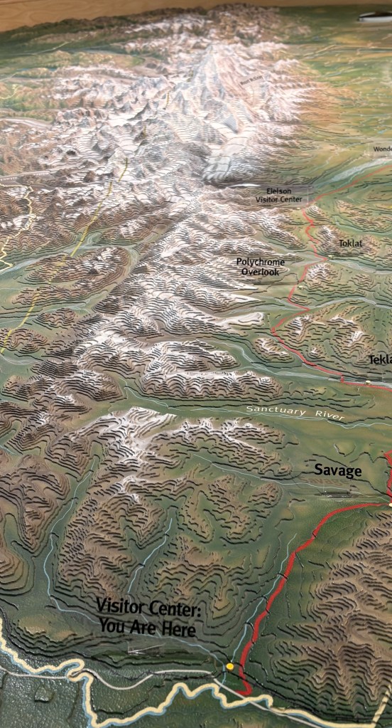
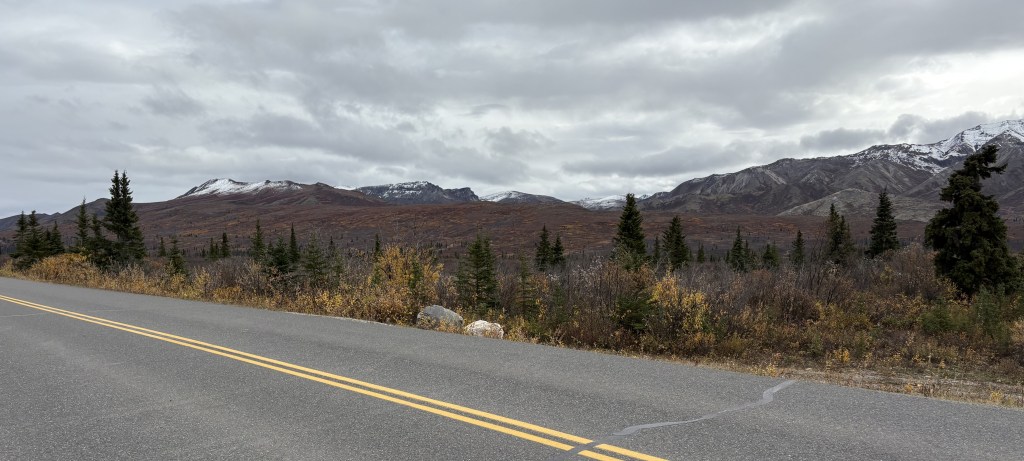
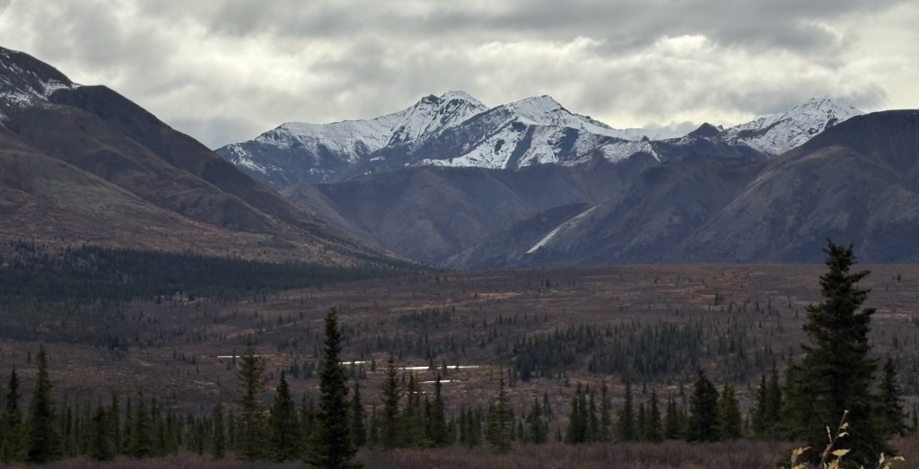
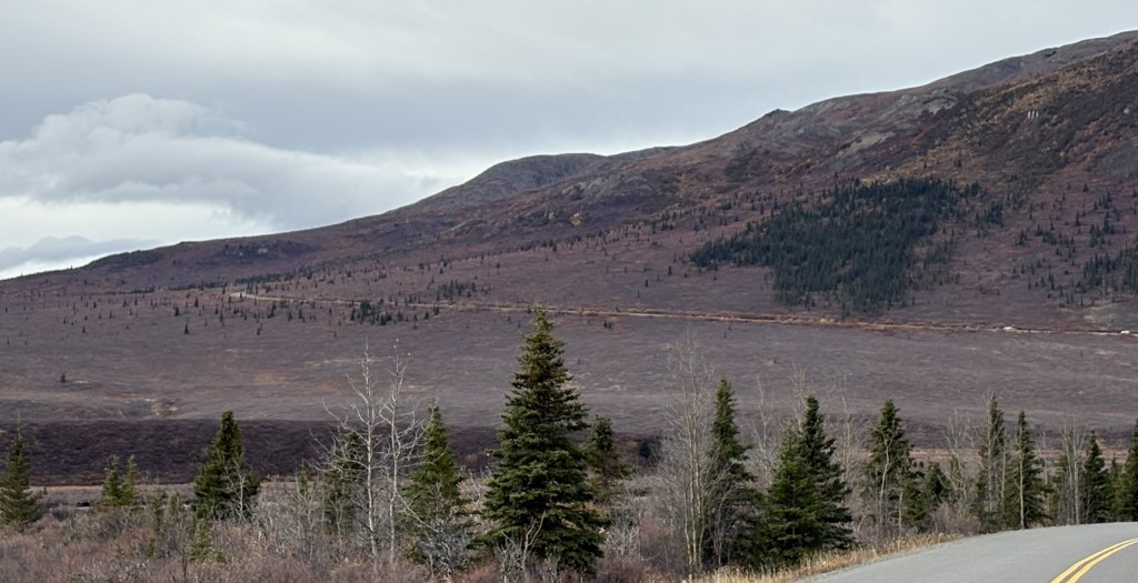
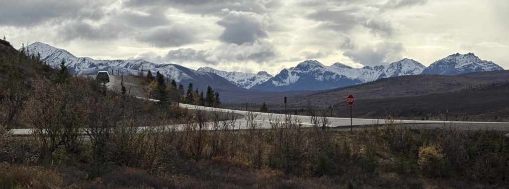
That is a wider view looking southwest from the high point on the access road. There were no signs indicating that Mt. Denali might have been visible from this spot.

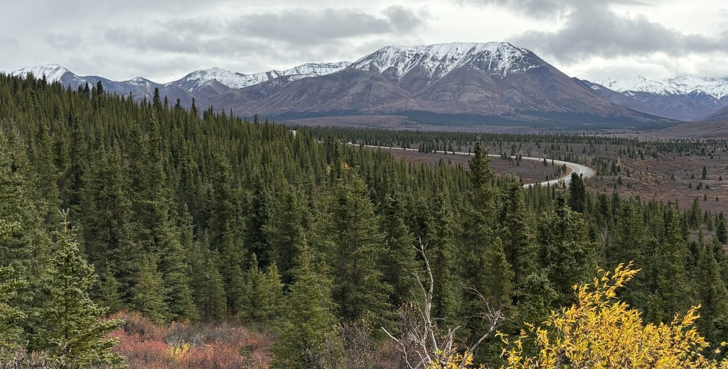
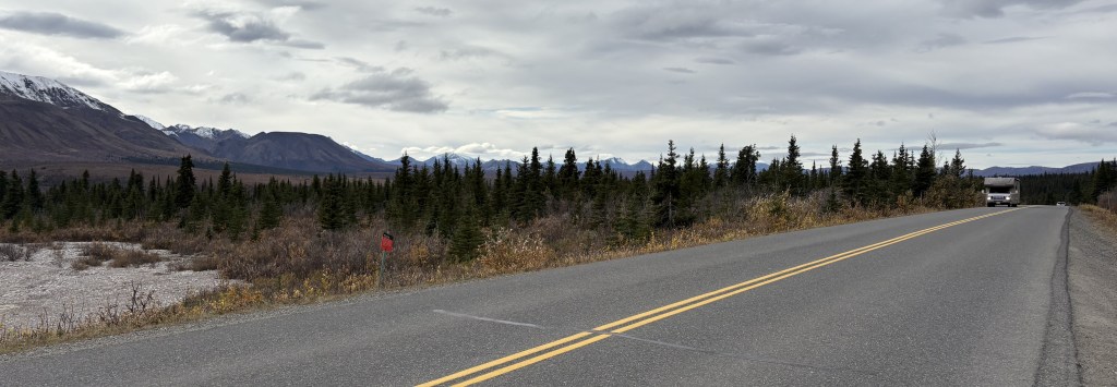
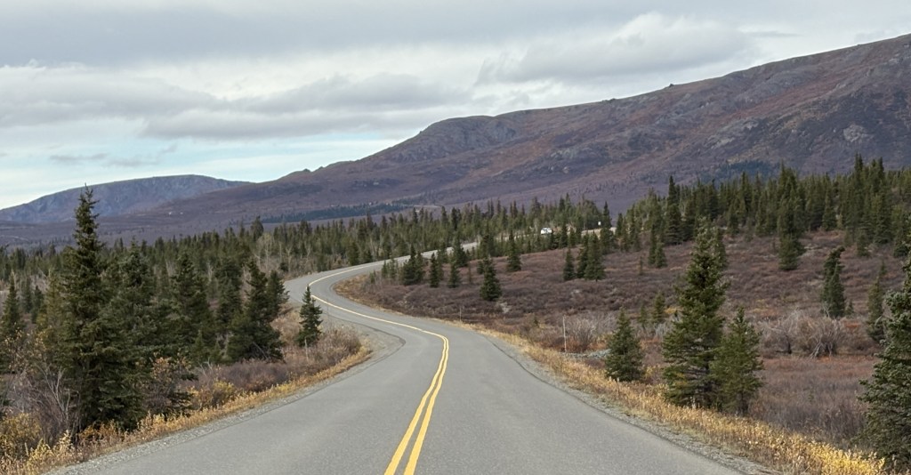
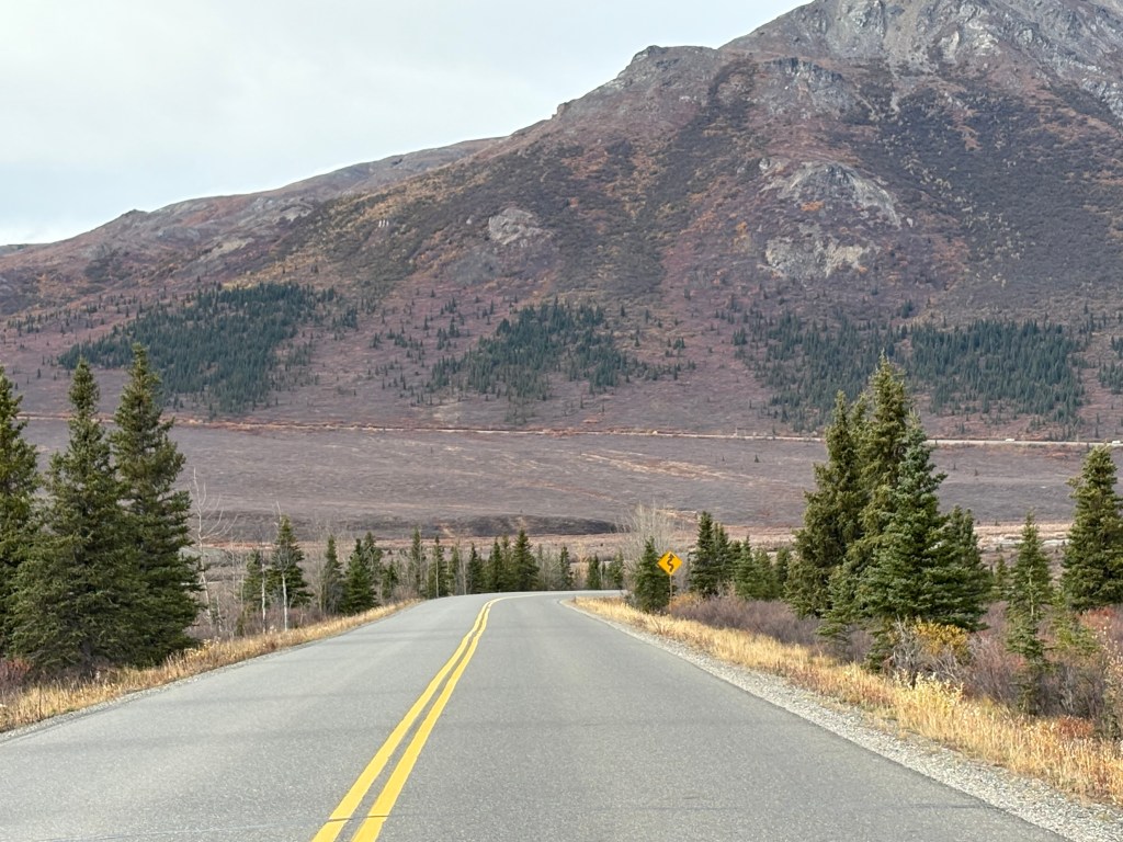
That is the paved road going back towards the entrance.

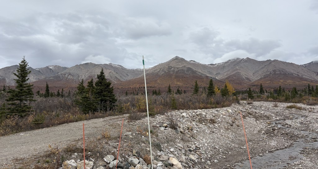
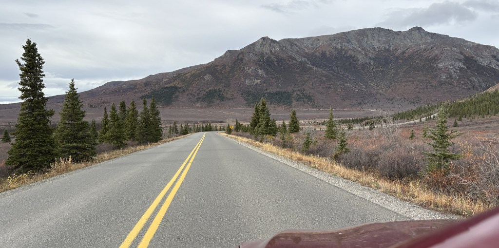
That is the small pullout area next to the road at the high point on the access road. I will be spending lots of time there when I come back, scanning the areas around me with binoculars.

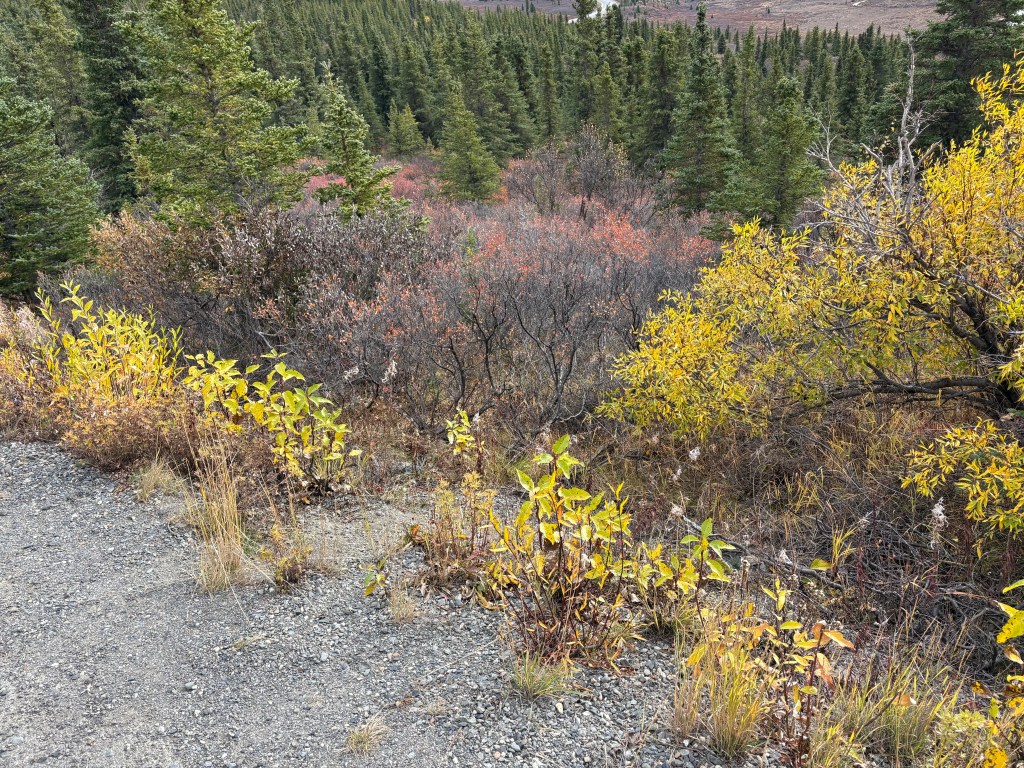
The brown bushes with the red-ish tops are the scrub brush I described earlier. It effectively covers the ground in many areas near the access road. It varied in height, and I don’t know how receptive animals are to walking through it. It may have contributed to the low number of animals I saw while I was here.

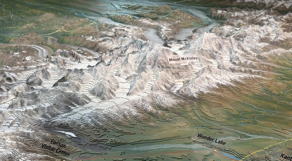
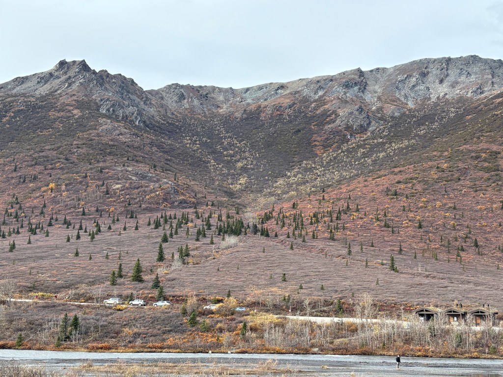
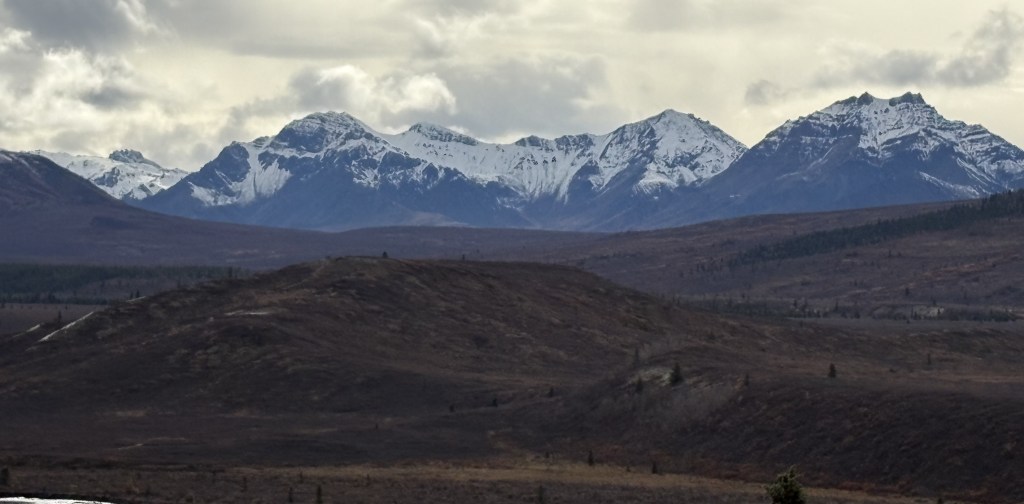
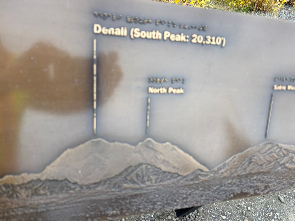
Below is a sign at the one spot on the access road (probably around mile 9) where there was a sign indicating where to look to see Mt. Denali:

And here is the photo I took looking roughly in that direction:

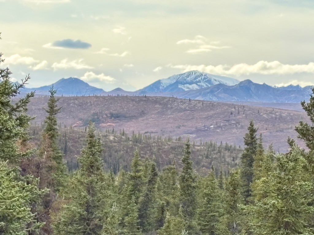
Sable Mountain is the one just right of center with snow on it. The tiny peak to the left of it is above the black spot in the upper photo. The mountain on the left is the lower mountain in the center of the upper photo. Therefore, Mt. Denali was NOT visible from this vantage point today. If it had been it would have risen right where the tiny peak meets Sable Mountain and would have descended on the left, out of the frame (there was a pine tree there). Believe me, if I had seen it I would have zoomed in and taken lots of photos. I haven’t checked all of my other photos yet to see if I ever saw it, but I don’t believe I did.

Another visitor checked Google Maps on his phone and said that Mt. Denali was 71 miles away from this vantage point.

I would have loved to have asked the rangers when I came back if my thinking was correct, and also if I could have seen Mt. Denali from the high spot on the access road, but the Park was affected by the US government shutdown when I came back, so the Visitor Center was closed and there were no rangers to ask.

On my way out I did see this cow moose, not too far off the road:

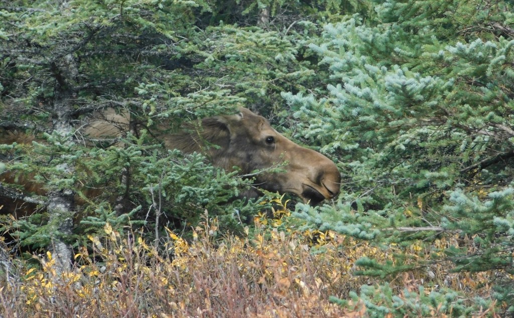
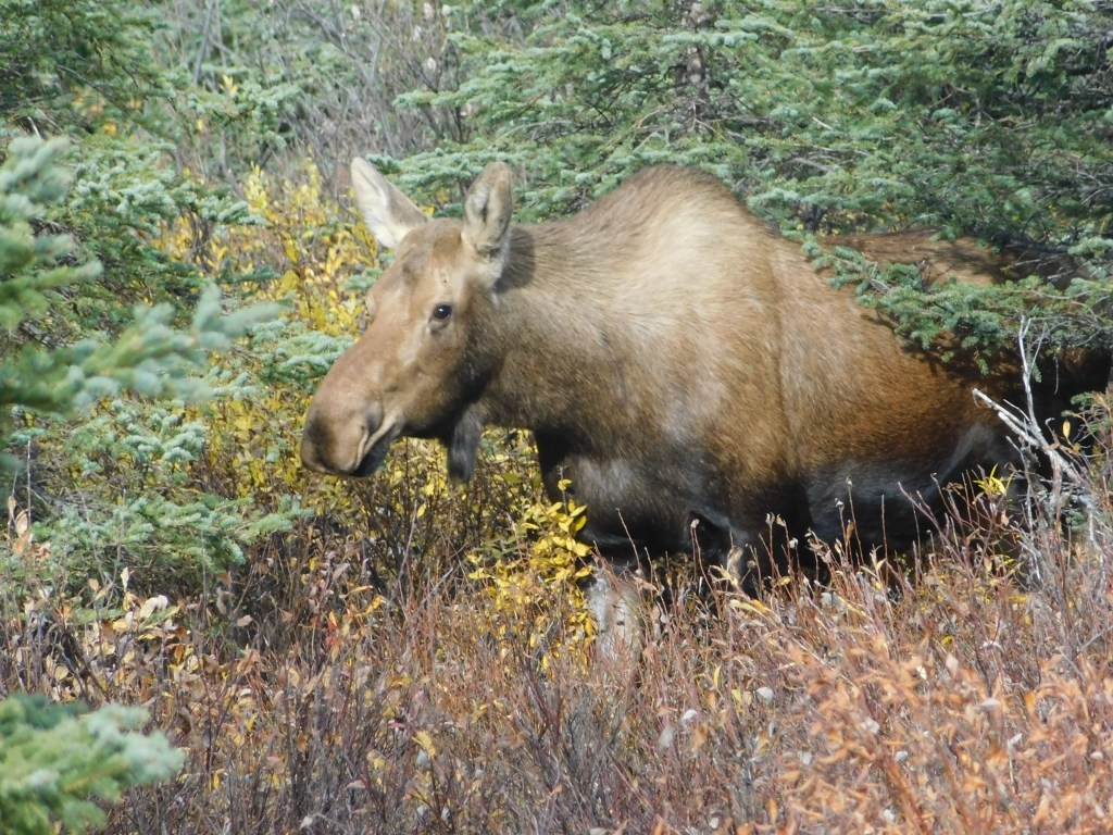
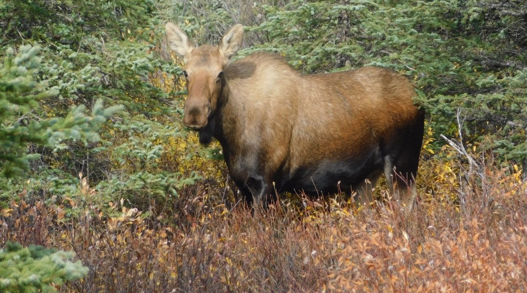
It seemed that she had no trouble walking through the scrub brush. I wondered if grizzly bears would walk through it, but I suppose a several hundred pound grizzly bear pretty much goes anywhere it wants to.

Me, I would take the path of least resistance.

Preview of Denali NP – Part 1 of 2

September 19, 2025

I decided to spend a little bit of time in Denali National Park while on my way to Fairbanks so I could get an idea what to expect when I come back later to spend several days here.

One of the signs at the entrance had a great photo of Mt. Denali, as seen from high above Wonder Lake, well within the Park.

Here is a map of the only road within the Park.

(Photo credit: NPS.gov/Denali)

The majority of the time that the Park is open, passenger vehicles may only drive the first 15 miles of the road unless they have a special permit to go further. Park buses transport visitors deeper into the Park, and are the best way to see much more of the Park’s interior (and get closer to Mt. Denali itself).

The buses stopped running for the season on September 15, so the rangers told me I could now travel an additional 15 miles (on an unpaved road) IF the weather permitted it. I was here on the 19th, but the road had already been shut down once this month for a snow event.

Here are some of the things I saw on this first visit:

That is a metallic bear outside the Visitor Center.

That is a view of the “Puppy Cam”. There were signs on Park Road which warned drivers to watch out for Sled Dogs which may be exercising along the road. As you can see, they were all zonked out in one of their enclosures and I never did see any out and about.

That is a 3-D relief map showing Mount Denali (aka Mt. McKinley) and it’s proximity to Wonder Lake. In the lower left hand corner you can also see a reference to the Eielson Visitor Center, located within the Park and only accessible by bus. I am at the Main Visitor Center out near Hwy 3.

That is another angle of the relief map showing the Main Visitor Center at the bottom, and revealing that from this vantage point, and the first 15 miles of the Park Road I was allowed to drive on (to the Savage River), I would be looking down the spine of what I call the “Denali Complex” of mountains. There is one spot where I theoretically could see Mt. Denali from the Park Road but we’ll see how well that works out…

OK. Enough talk. Let’s get out on Park Road and see what’s in store for us.

From the Visitor Center the road climbs up to about 3,000 feet elevation and is then fairly level for most of the first 15 miles. There are mountains on both sides, but fairly far off the road. There were 3 or 4 wide, rocky spots (shown above) where the snowmelt drains from the mountains on the right (north of the road) towards the south. The photos above are looking south so the water would be running away from here in the Spring.

The photo above is looking north from the same spot on the road. Those mountains are a little closer to the road and not as tall or “jagged” as the ones to the south.

The mountains to the south are taller and many had snow on them already. I don’t believe I saw snow on the mountains to the north this trip but they will have snow when I return in about 2 weeks.

This is getting close to the 15 mile-mark and the road changes elevation slightly before going up to a high point, then dropping down to the Savage River. You can see relatively short pine trees scattered about and brown scrub brush (you’ll see a better photo of it in the next post) in the “open” areas. The scrub brush ranged from knee-high to almost chest-high in places.

The photo above shows a large brown mountain which is on the other side of the Savage River. You can see a road climbing the hill to the left but it is the dirt road on the other side of the 15-mile bridge.

The rock formation shown above is next to a parking area just before the bridge.

That shows two hikers near the left base of the big formation, giving it some size perspective.

That is from that parking area looking north. There are hiking trails on both sides of the river, which is between the two hills.

That is the bridge going over the Savage River (2,780 feet elevation at this point). The dirt road to the left on the other side continues deeper into the Park. The road on the right appeared to be additional parking for hikers. There is a shack on the other side of the bridge in which a ranger will check permits for those drivers wanting to go further. There was a gate on this side of the bridge which was closed if people weren’t supposed to continue due to weather.

I was told by the rangers that people could continue to Mile 30 since the buses were no longer running, which is why you are seeing vehicles on the other side.

The next post will contain photos driving back out towards Hwy 3, a chance to perhaps see Mt. Denali, and my first wildlife sighting in the Park.