Prince Rupert, BC

October 14, 2025

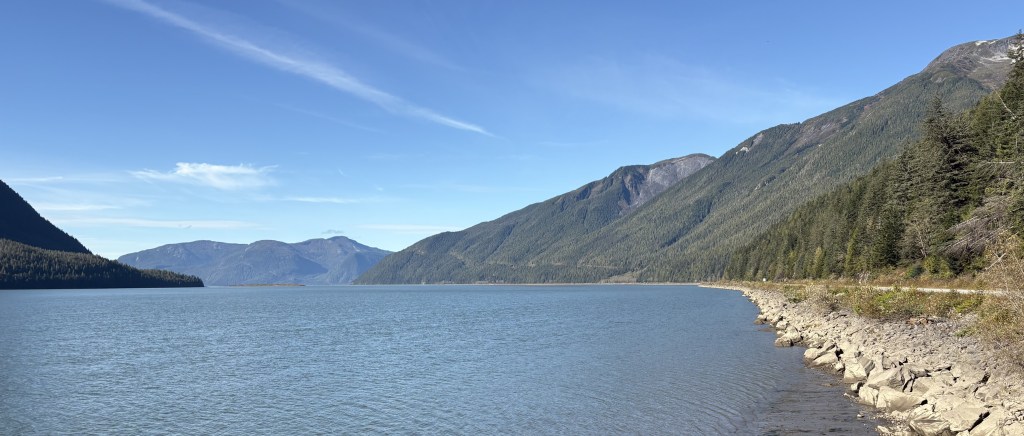
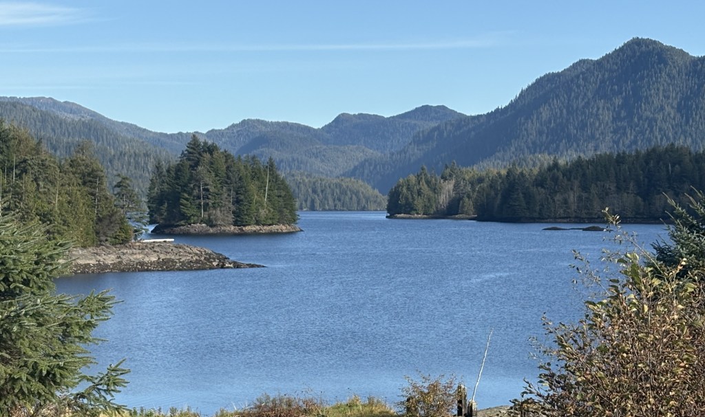
Prince Rupert is a coastal town with a permanent population of about 12,000 people. It is just south of the southern end of the Alaska panhandle. Although it is on the coast, there are a number of islands offshore which block a clear view of the ocean. I asked my Airbnb host about the tsunami warning which had been issued after the Russian earthquake a few days after I arrived in Canada and he said they weren’t too worried here because the water would have had to cross those islands before getting to this part of the mainland.

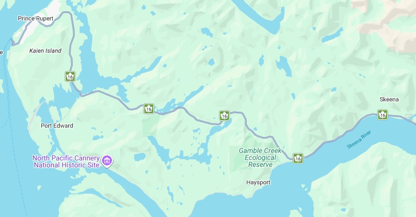
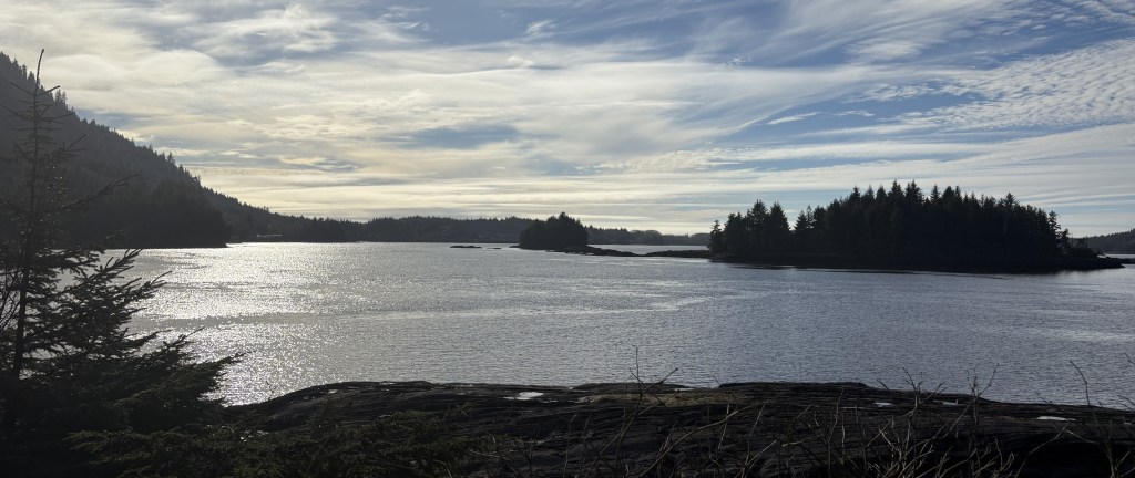
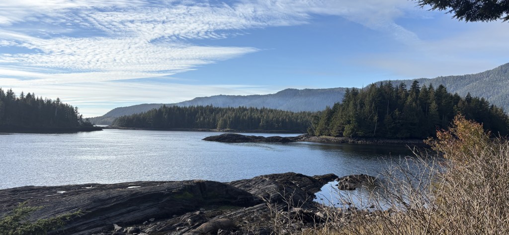
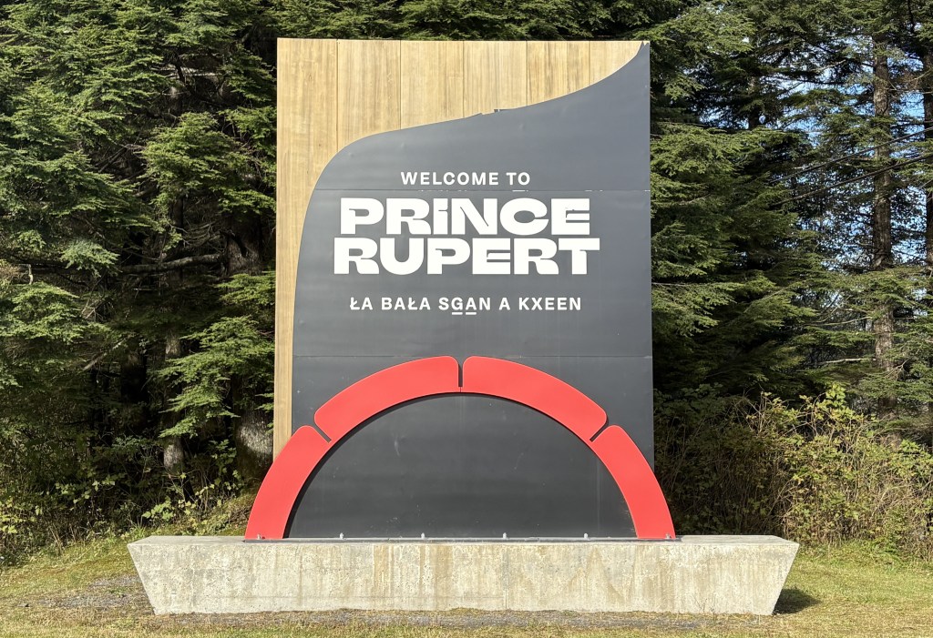
Once on Kaien Island I saw a few things before getting to town.

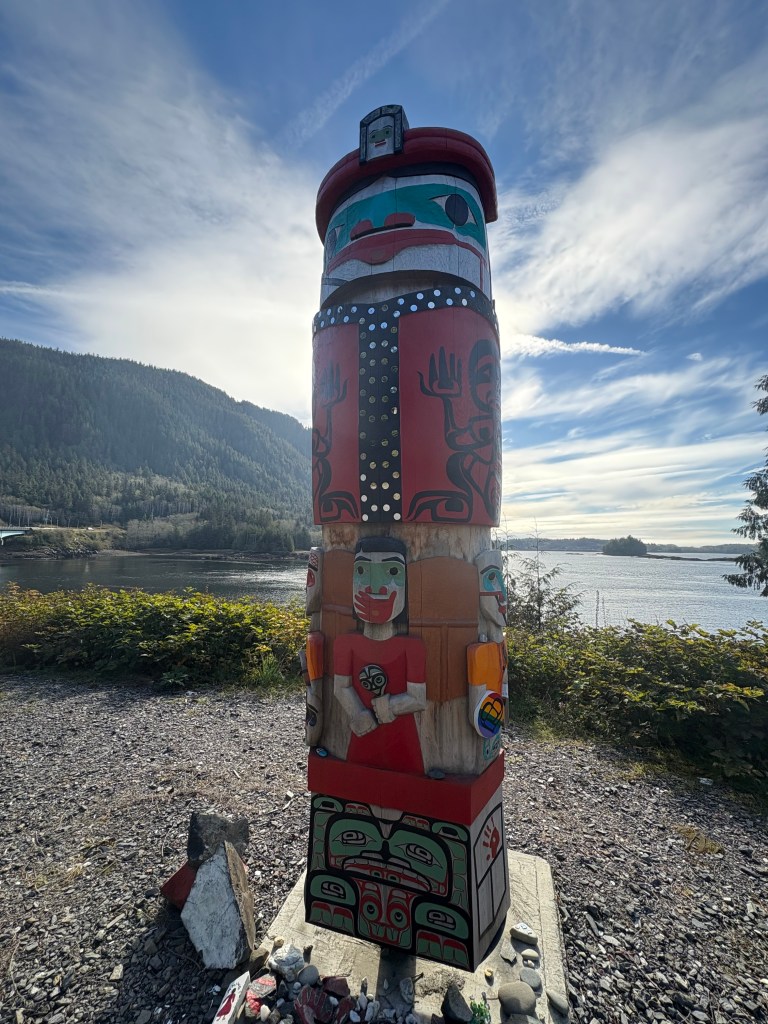
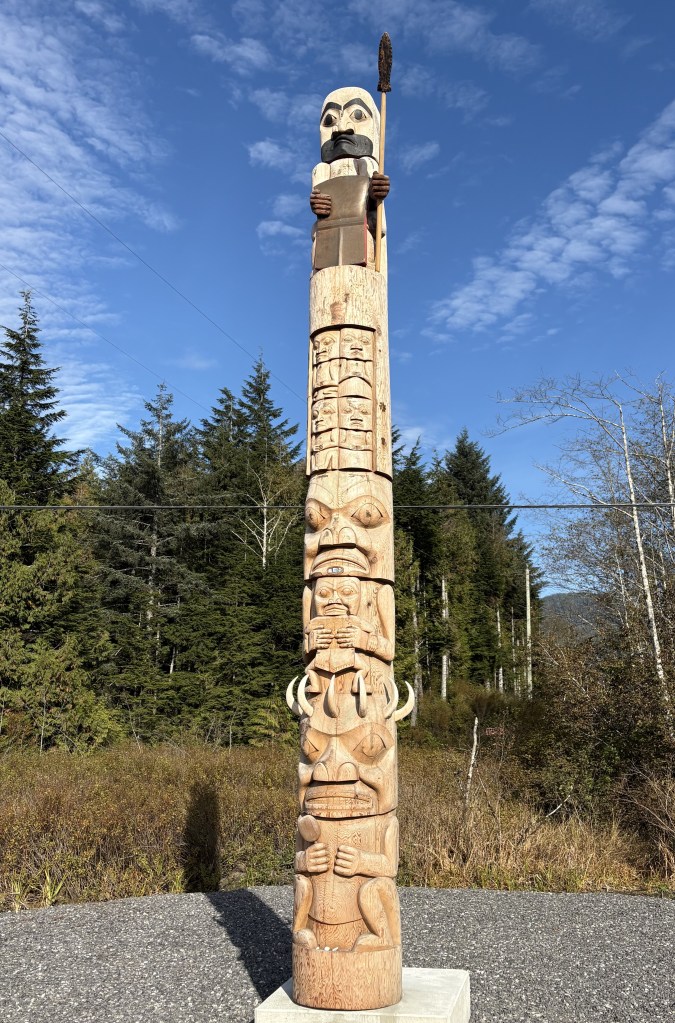
The sun was behind me so I got some closeup photos of this mostly unpainted totem pole.

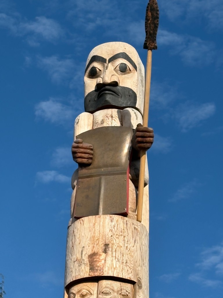
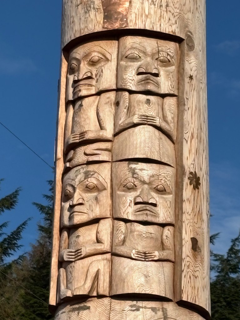
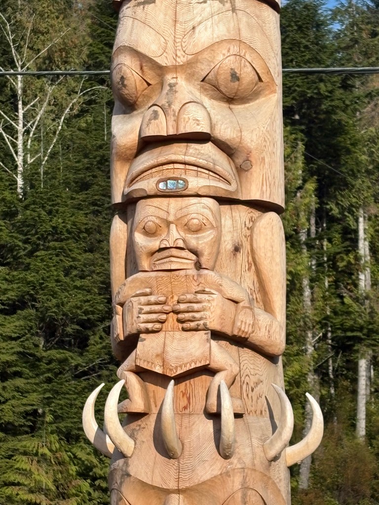
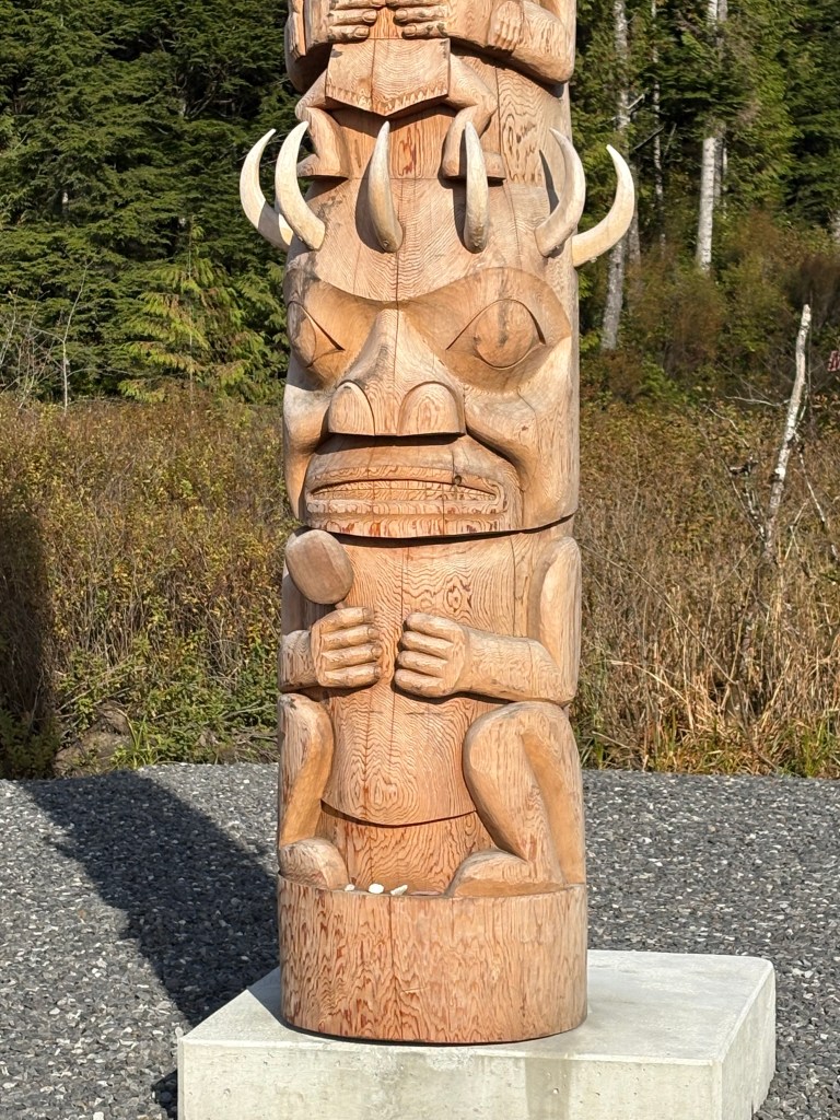
I still need to do some research into what the significance of the sections and order mean.

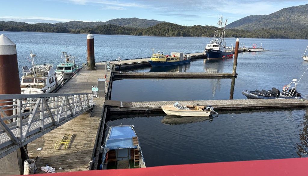
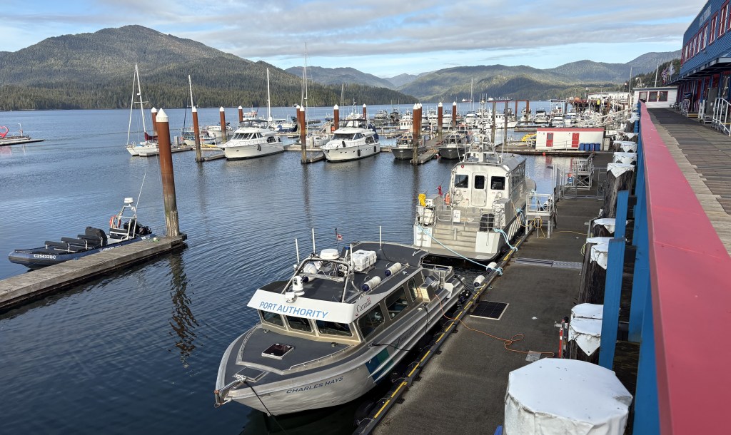
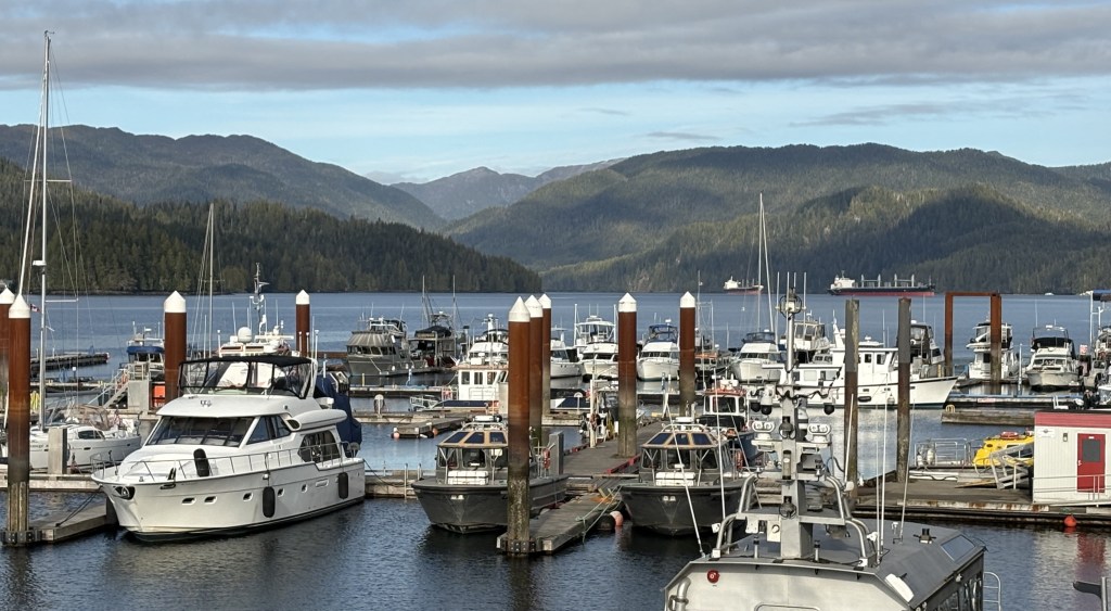
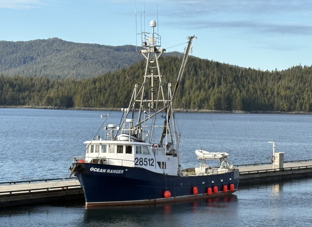
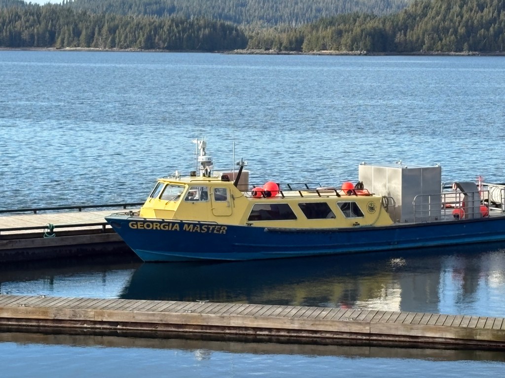
When I got into town I found the harbor I was expecting, but also a very nice little town, with restaurants and shops, lots of places that ship fish to other parts of the world, and some very friendly people. There is a cruise ship dock but it sounded like that season has ended.

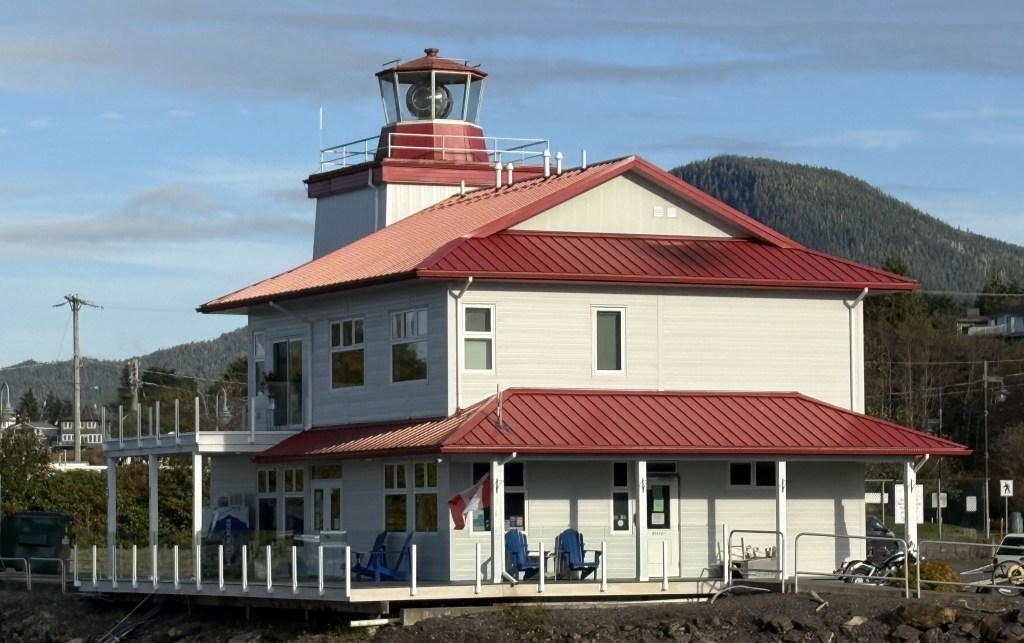
And this is their low-profile lighthouse:

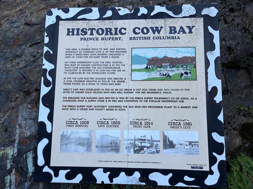
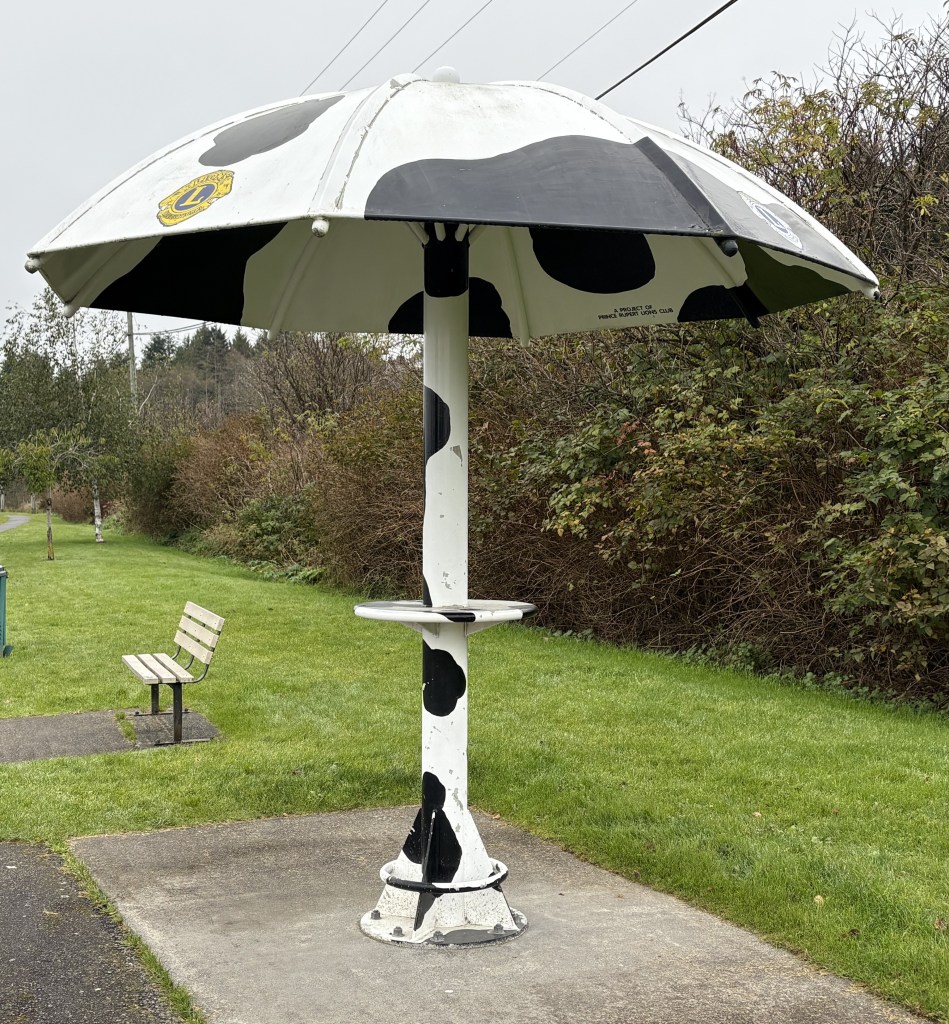
There is a small portion of town called Cow Bay, after a Swiss immigrant arrived with dairy cows in 1908.

Telkwa, BC to Prince Rupert, BC

October 14, 2025

I am jumping ahead two driving days. When I left Whitehorse, YT I headed east on the Alaska Highway to the town of Watson Lake, YT. This is the same road I had taken west a few weeks ago on my way to Alaska. Watson Lake is about 20 miles beyond the Airbnb I had stayed at on the way north, but it was closed for the season and Watson Lake was the closest town. Of course I had to pay attention to road conditions for much of the drive to Watson Lake, and I had already taken pictures of the things that interested me.

The next day I drove south on Hwy 37, the same remote route I had taken north a few weeks ago, though today’s drive would take 11 hours and I didn’t make any stops except to get a little gas mid-way, and to stretch my legs a bit. I was staying further east at the south end of the drive because the Airbnb I had stayed at on the way north wasn’t available.

So now I am driving west from the little town of Telkwa to the coastal town of Prince Rupert, BC. Today’s drive should take about 4 1/4 hours. Before I changed my plans to drive to Alaska rather than flying there from Seattle, Prince Rupert was the last Canadian stop in my original plan. I put the last portion of my time in Canada on hold so I could get to Alaska and get out before any serious snow fell.

As I passed the town of Smithers I had another look at this glacier on a tall mountain west of town.

It was then a long drive to the coast.

I started seeing a variety of mountains, and spent part of the time driving next to the Skeena River.

I eventually turned right, away from the river, and continued the drive to Prince Rupert.

(Photo credit: Google Maps)

I soon crossed a bridge which put me on Kaien Island, where Prince Rupert is located. This was the view looking west from that bridge.

Continued in next post