Travel Day

No photo.

Tuesday is a travel day as I go from Sparks, Nevada where I have been the last three nights, west on the dreaded interstate to San Rafael, California – just north of the Golden Gate Bridge in San Francisco.  I’ll be there a whole week and the weather looks ideal so I hope to share lots of great things from that area in the coming days.

This morning I see that a new wildfire has popped up near another of my scheduled Airbnb venues later in the trip.  I have a reservation for two nights in Gold Beach, Oregon at the end of July.  The Lobster Creek Fire started Sunday just 12 miles northeast of there and is spreading south.  It is apparently in especially difficult terrain.  There is lots of time between now and then so I wish the firefighters luck in getting it under control.

Valley of Fire – Post 1 of 3

Since I am back in Nevada I thought this would be a good chance to post my remaining pictures from Valley of Fire State Park, northeast of Las Vegas, which I went to back on June 2.  To see my earlier post of pictures I took there search “Valley of Fire” on the Home page or use the calendar grid to go back to June 3, 2018.

Here are various things I saw throughout the Park:

IMG_20180602_122757773

IMG_20180602_124925113

IMG_20180602_125137872

IMG_20180602_125141623

IMG_20180602_125433758

IMG_20180602_125439723

IMG_20180602_125617681

IMG_20180602_125648183

Valley of Fire – Post 2 of 3

Since I am back in Nevada I thought this would be a good chance to post my remaining pictures from Valley of Fire State Park, northeast of Las Vegas, which I went to on June 2.  To see my earlier post of other pictures from there search “Valley of Fire” on the Home page or use the calendar grid to go back to June 3, 2018.

This is called Atlatl Rock.

IMG_20180602_113343670

IMG_20180602_114602472

If you look closely at those two pictures you will see a set of metal stairs leading about halfway up this massive formation.  If you climb the stairs you get to see petroglyphs on the rock, created an estimated 4,000 years ago.  They are a little hard to see in the photos due to the sun angle:

IMG_20180602_114802139

IMG_20180602_114813245

IMG_20180602_114844153

IMG_20180602_114848690

And just up the road from Atlatl Rock is Arch Rock:

IMG_20180602_115457160

IMG_20180602_115503965

DSCN0465

DSCN0466

Valley of Fire – Post 3 of 3

Since I am back in Nevada I thought this would be a good chance to post my remaining pictures from Valley of Fire State Park, northeast of Las Vegas.  To see my earlier post from there search “Valley of Fire” on the Home page or use the calendar grid there to go back to June 3, 2018.

Here are various things I saw throughout the Park:

IMG_20180602_110909422

IMG_20180602_111604679

IMG_20180602_111731829

IMG_20180602_112033732

IMG_20180602_112542149

IMG_20180602_112620682

IMG_20180602_112706546


Lake Tahoe – Rock people

I just started calling them that so that’s who they shall be.  This couple was standing on a rock which was sticking up out of the lake and took turns jumping in.

DSCN2622

DSCN2623

She jumped in almost immediately after I took the photo above.  Here he is helping her back up onto the rock.

DSCN2625

Next, he put on goggles and flippers.  Note the huge underwater camera next to his feet:

DSCN2630

Ready….

DSCN2632

Bombs away!

DSCN2635

And here is a guy who had been floating nearby on a kayak who wanted to get in on the fun:

DSCN2707

The girl was real cagey – I could never catch her in the act of diving but she did several times.

Lake Tahoe, Nevada – East side

Monday morning I drove down to Lake Tahoe from where I am staying in Sparks, Nevada.  It is an easy drive which takes less than an hour.  I took Route 395 South, then Route 431, the Mt. Rose Highway, and drove down to the lake after having crossed over Mount Rose (reaching a driving altitude of 8,900 feet).  This was the view from an overlook as I started down the southwest side of Mount Rose:

IMG_20180702_093708511

IMG_20180702_093712124

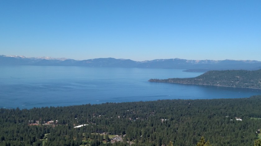
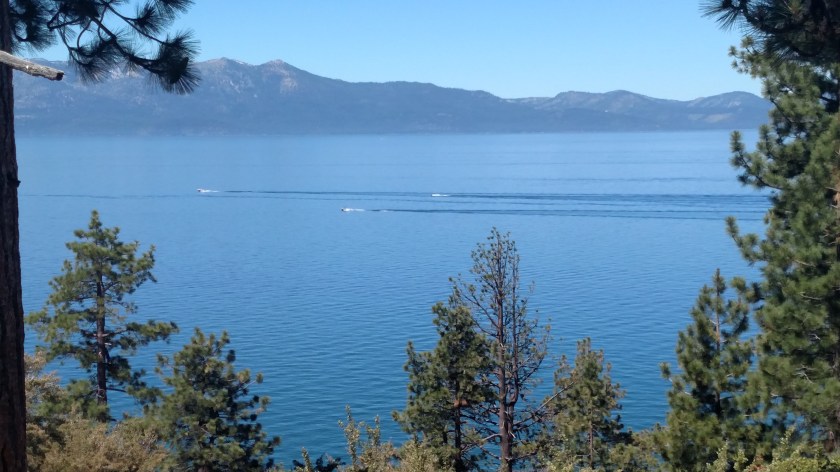
Lake Tahoe has a surface altitude of 6,225 feet above sea level and covers 191 square miles.  There are casinos and ski areas near the lake and many wealthy people live here (behind electronically controlled gates).

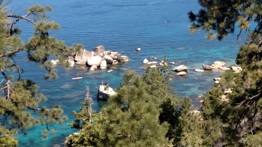
When I got down near the lake I was in Incline Village.  I started driving around the lake by heading south on Route 28.  They were doing road construction and had many potential overlooks and parking areas closed (and what wasn’t closed was private).  I saw some great views but had absolutely nowhere to stop.  Once I got past Sand Harbor things started to improve and I ended up fairly happy with the photos I took.  Here are shots from various locations on the east side of the lake:

IMG_20180702_102421866

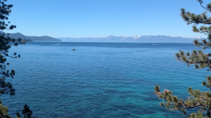
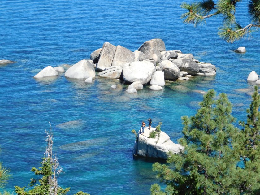
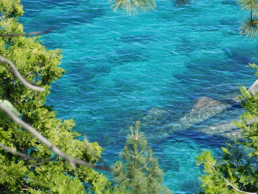
One thing I’ve always heard about Lake Tahoe is the amazing water clarity and colors which can be seen – almost like in the Bahamas.

IMG_20180702_102432490

DSCN2678

DSCN2683

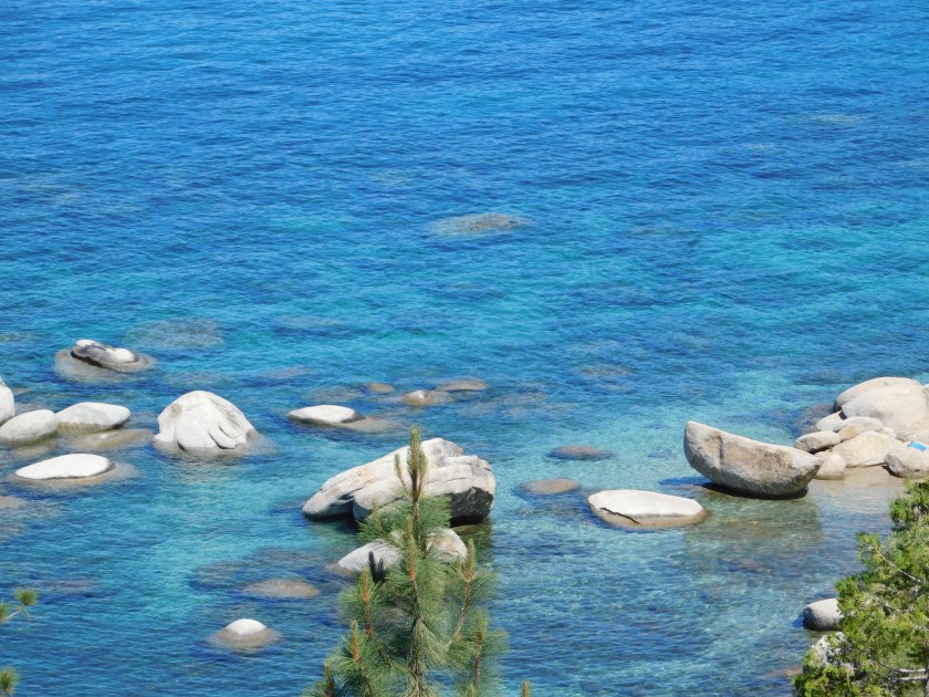
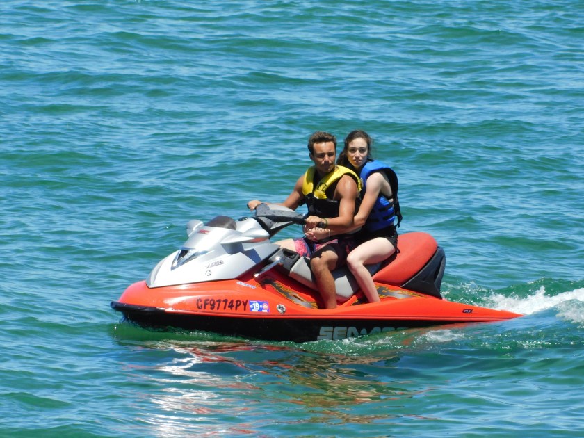
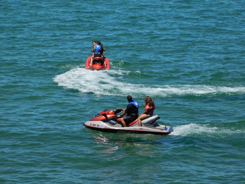
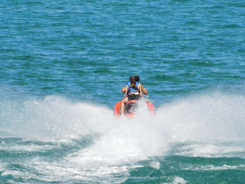
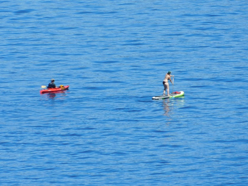
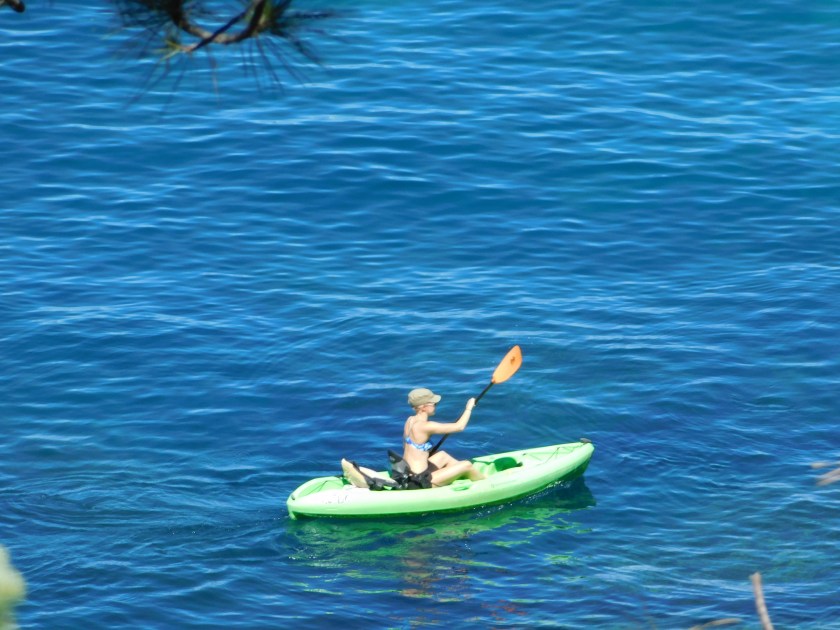
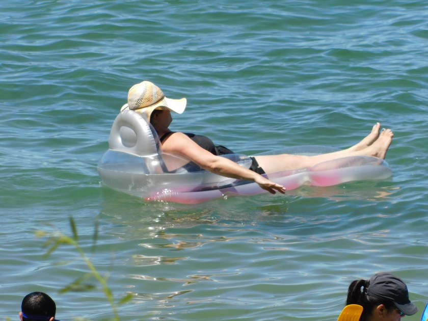
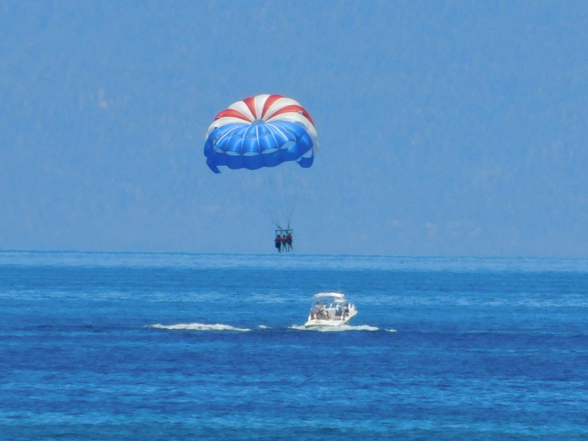
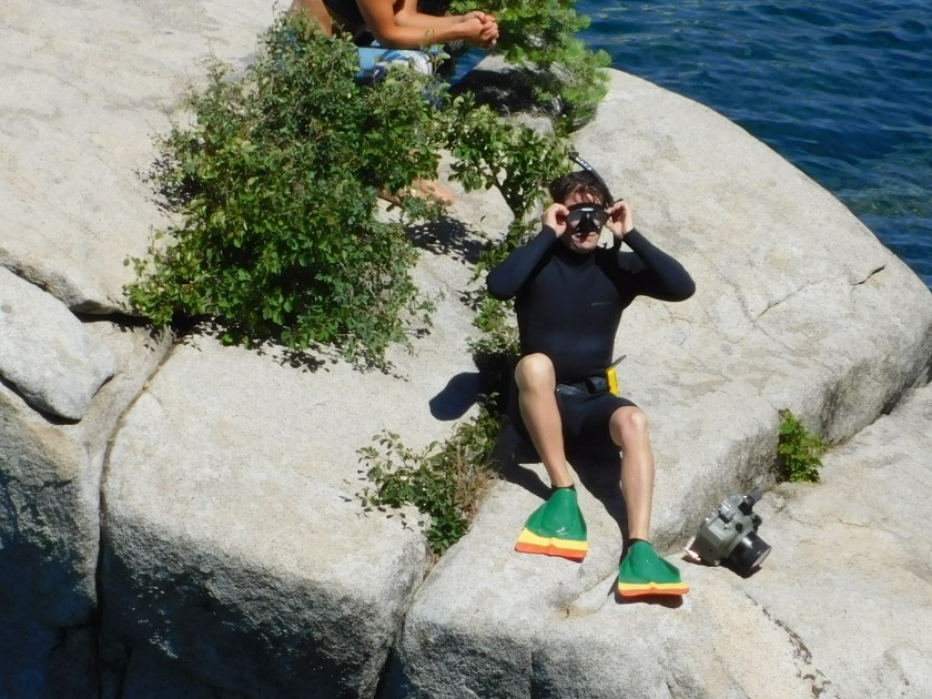
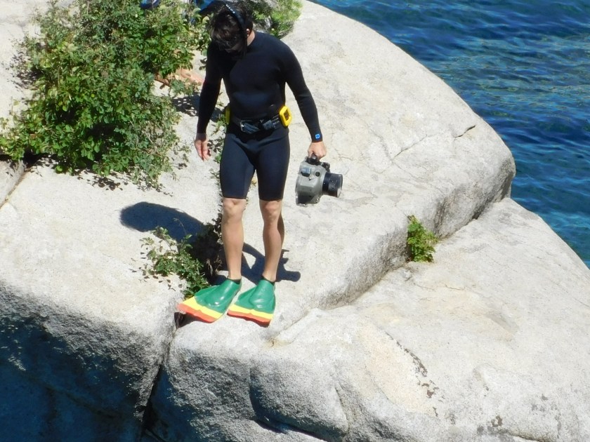
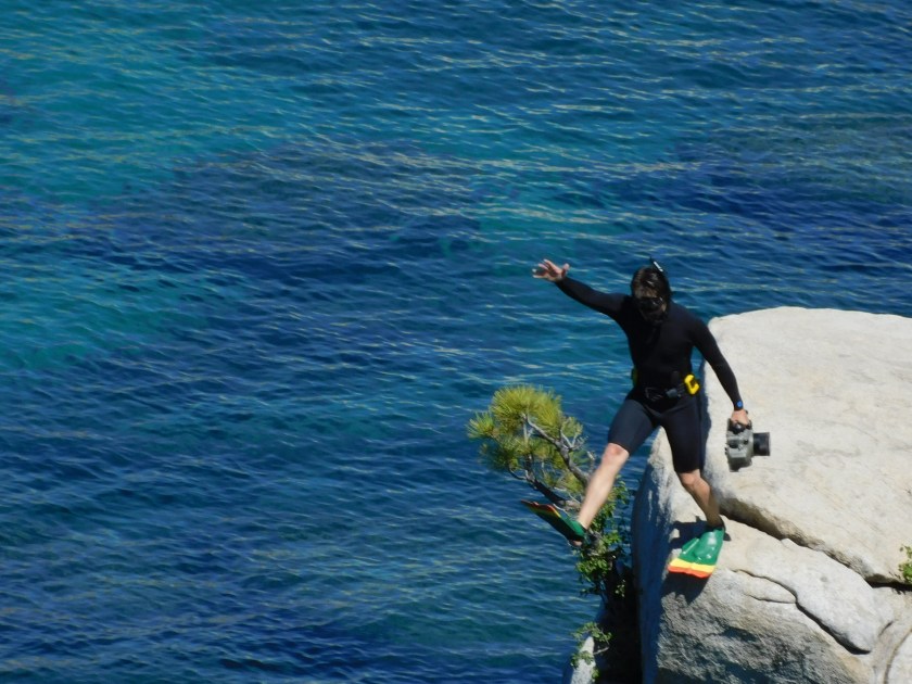
There are some people on and in the water around these rocks.  You’ll be seeing lots more of them when I post closeups taken with the digital camera.

IMG_20180702_103245976

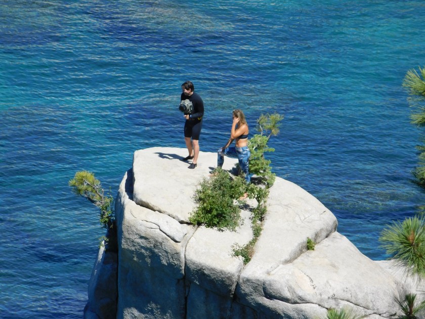
When I got down around Cove Rock I found these newlyweds (or soon to be) posing for pictures with friends of theirs.  I asked if I could take one for the blog:

IMG_20180702_111635410_HDR

IMG_20180702_111700828_HDR

IMG_20180702_111859197

IMG_20180702_112335033

I took many closeups using the digital camera from the eastern shore as well as from South Tahoe and will be posting them shortly, just as soon as I group them by topic.