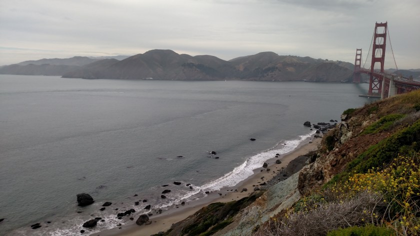
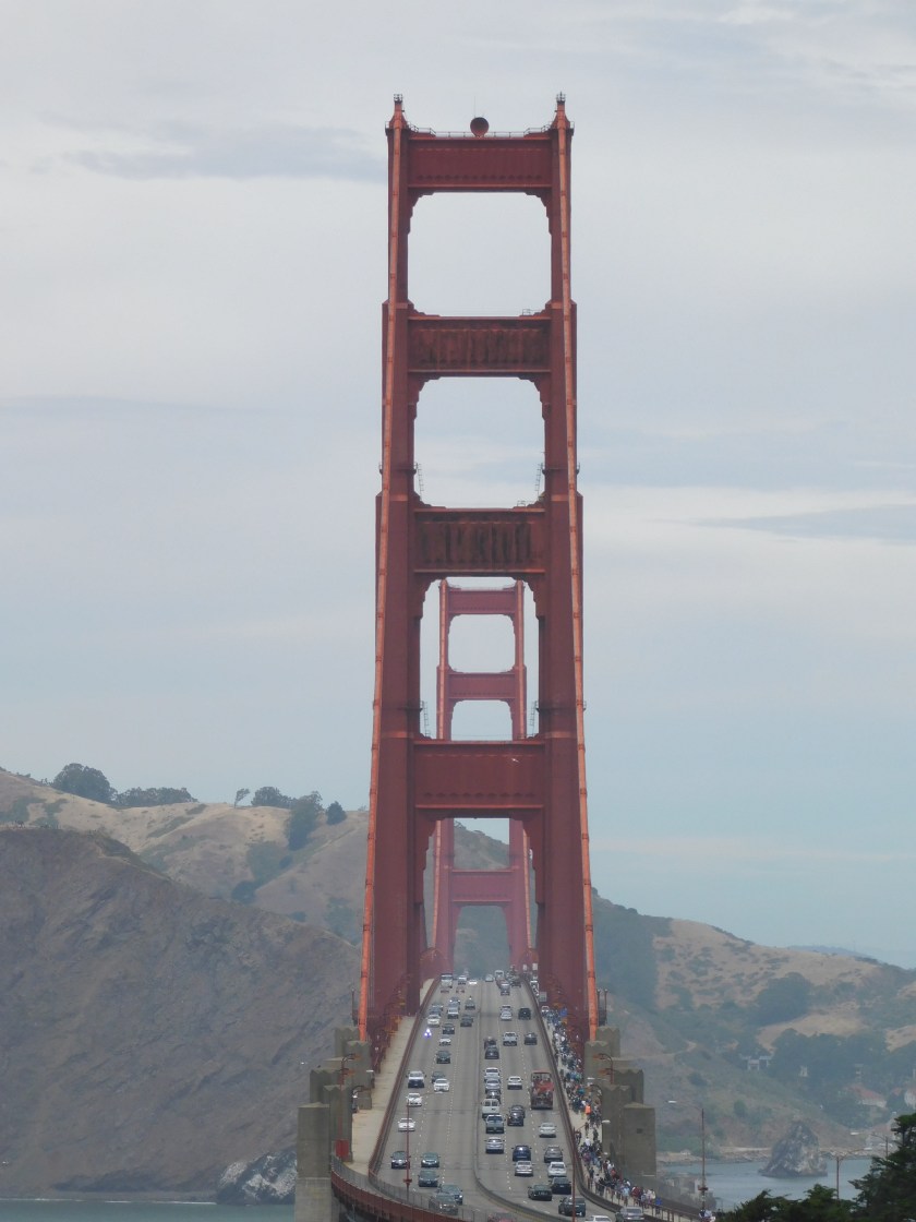
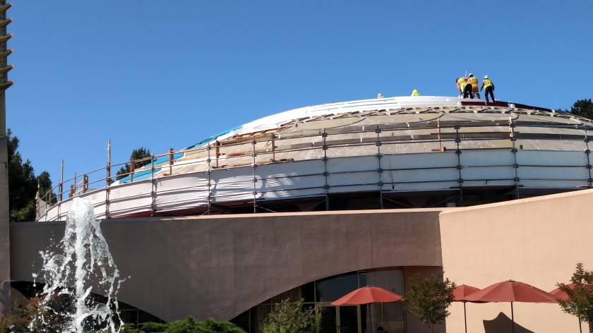
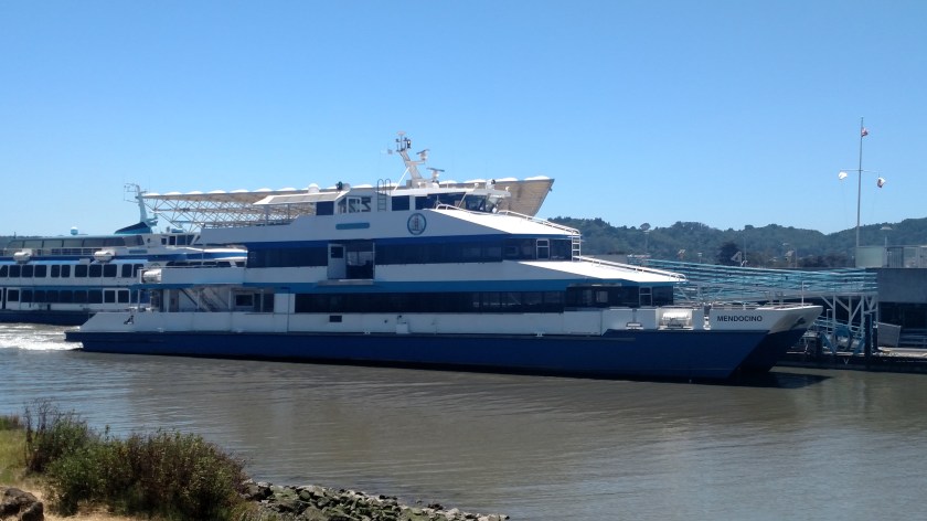
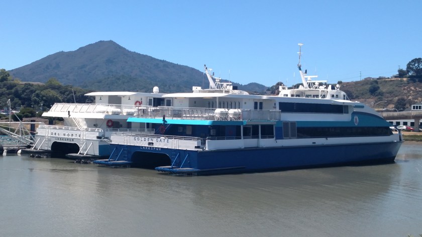
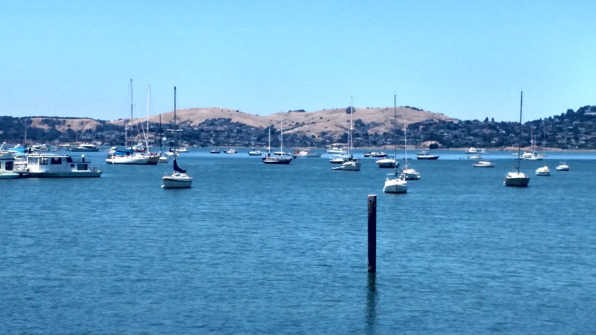
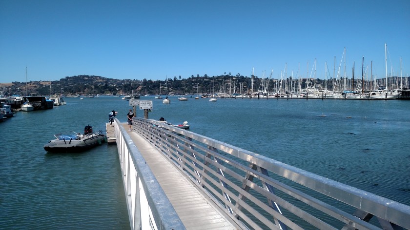
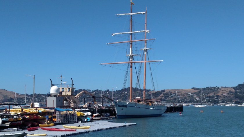
Thursday I ventured in to Sausalito for the first time. Sausalito is located along the shore of Richardson Bay, north of the Golden Gate Bridge. There are many neat (and expensive) restaurants in town, as well as some beautiful homes. There is also a huge marina housing a wide variety of boats.

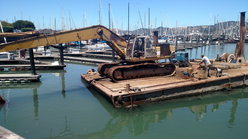
Crowds gathered along the marina to watch this guy work. It was fascinating to watch him raise and lower the big poles (extreme right of photo, and another at the far end of the platform) to anchor his platform and use the arm of the huge backhoe-type machine to position his rig. He was apparently scraping the bottom of the Bay to provide additional clearance for large boats to dock. His trusty dog had a wonderful time scurrying along his platform chasing seagulls and watching him raise and lower the mechanical arm and dump water and mud.
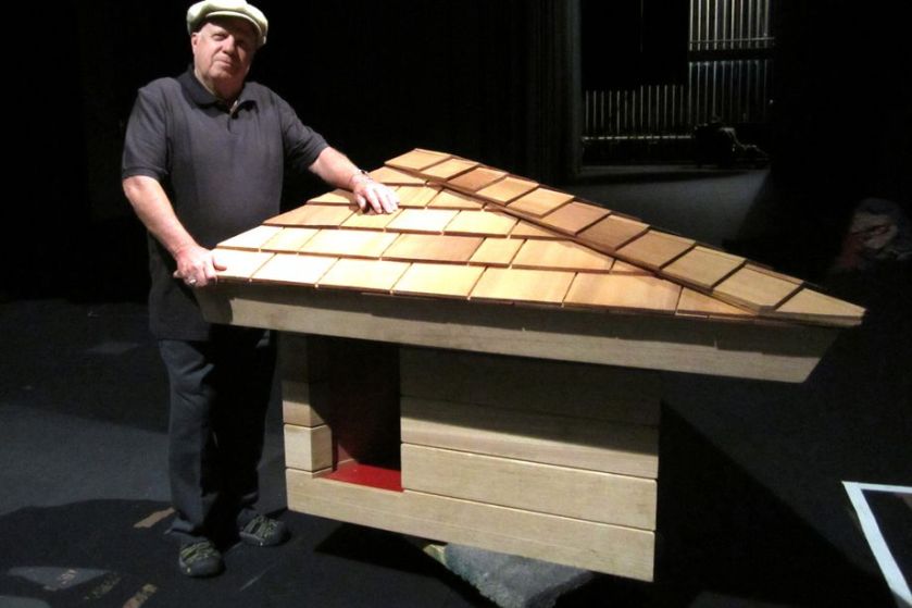
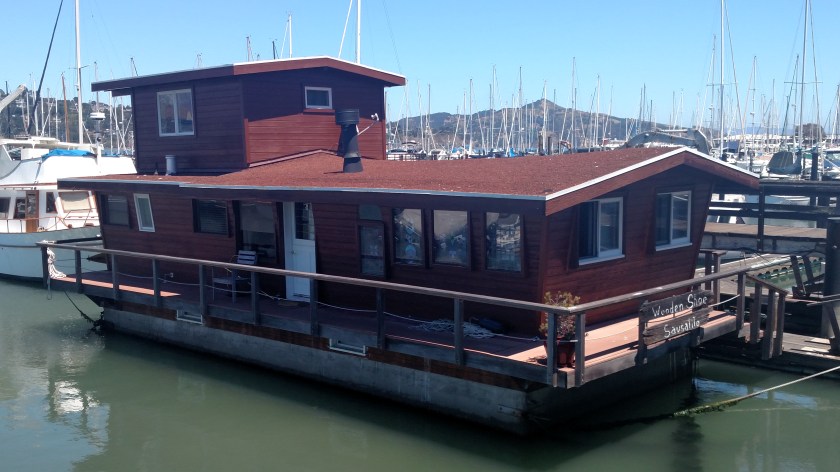
Now this is what I call a true houseboat!

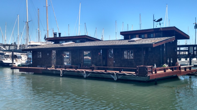
And here is another one:
I hope these mobile homes don’t get too mobile…..

A good reason to come to Sausalito in December:

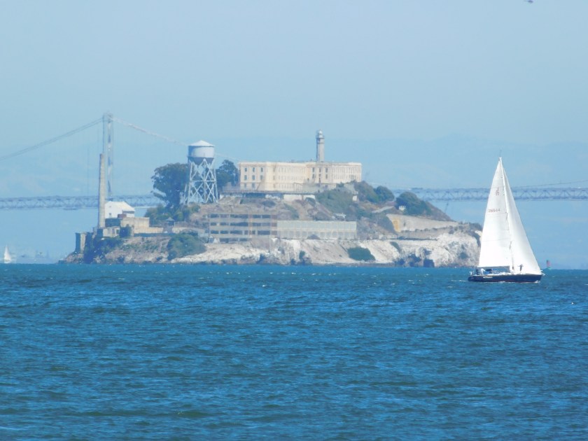
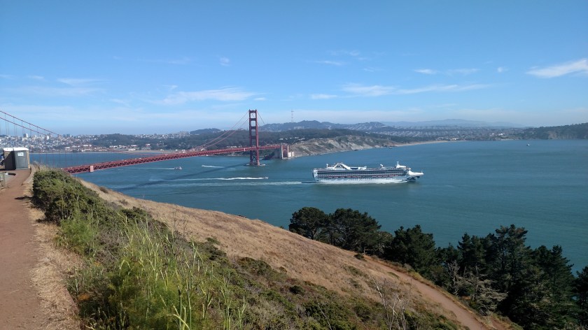
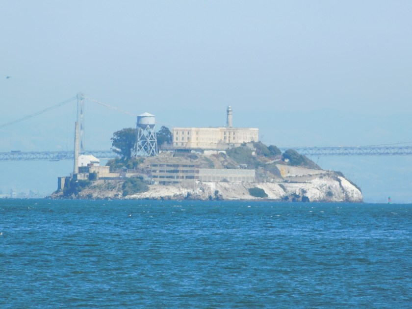
When I left Sausalito to drive to my next destination I discovered that it actually wraps around the southeast corner of the peninsula giving a great view of downtown San Francisco and Alcatraz Island. I didn’t have time to take more pictures from this vantage point but returned on Sunday to get more photos which I will post later.

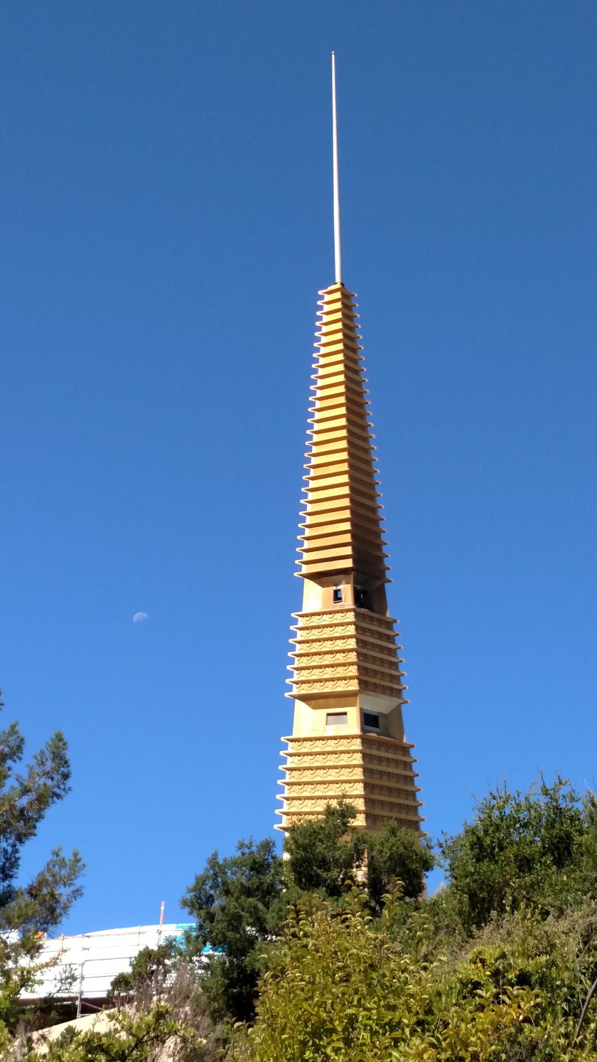
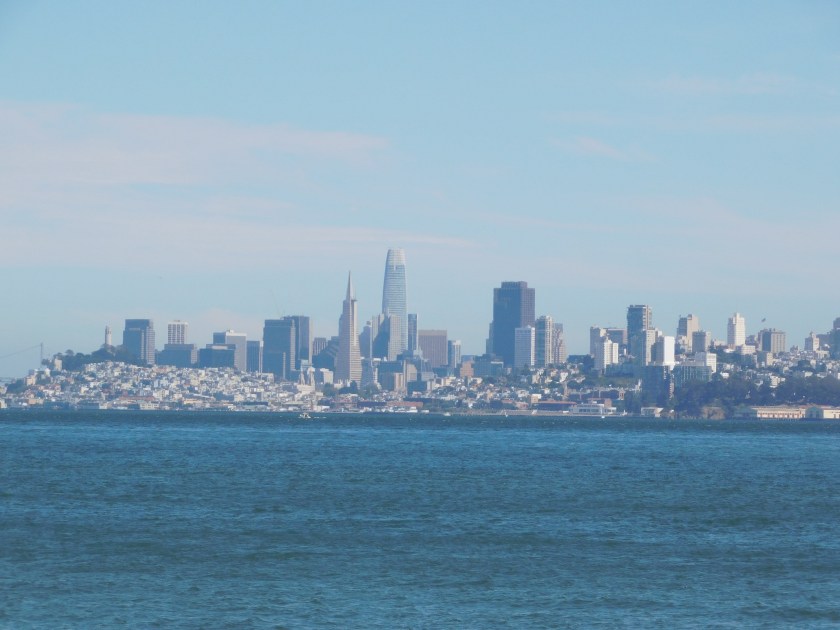
Here is the city skyline. You can see the iconic TransAmerica Pyramid and to it’s right the new Salesforce tower, which will soon be the tallest building west of the Mississippi. At the far left is Coit Tower on Telegraph Hill.
I was hoping to make it out to Alcatraz for a tour but didn’t make a reservation (and tours are booked through the end of July) so it will have to wait for my next trip to the area.