Death Valley – Dante’s Peak

Monday I drove back in to Death Valley National Park and went directly up to Dante’s Peak, an overlook located at 5,475 feet along the eastern range of mountains which line the valley.  I had taken some photos from this vantage point Sunday afternoon around 430 local time but that was looking into the setting sun and they didn’t turn out too well.  The photos I took Monday morning are much better.

When I left Pahrump this morning it was 80 degrees.  I think it took me about an hour to get to the road which would take me up the mountain.  At that point it was 96 degrees.  At the Peak, around 930am local time, it had dropped to 86 (due to the elevation change).  When I got back down it was already up to 110 degrees.  The highest number I saw on Monday was 116, but I left the Park around 230 in the afternoon so it probably got even warmer.  There was a High Heat Advisory for southern Nevada and Death Valley (ya think?…).

Here is part of the new observation platform, which will actually be officially dedicated tomorrow, June 6.  You can also see a hiking trail for those who want to get even higher.

IMG_20180603_163215575

This is a three shot panorama, looking left to right (south to north):

IMG_20180604_092751825

IMG_20180604_092755294

IMG_20180604_092800605

Here is a little bit closer look at the large, white area of salt:

IMG_20180604_093034747

From the south end of the platform I could look at a small area to the south, heading towards Badwater Basin:

IMG_20180604_092917100

IMG_20180604_092921940

This is the view looking directly across the valley to the west.  In the center of the photo is Telescope Peak, the highest point on the western range at 11,049 feet elevation.

IMG_20180604_093019860

And this is looking west towards the road which will take me back down from Dante’s Peak:

IMG_20180604_093820525

IMG_20180604_093823900


Death Valley – Zabriskie Point

I saw this observation point on Sunday but it was in the afternoon and there was steep incline I had to walk up to get to it.  Knowing that I’d be coming back in this way Monday morning I waited to go up then – plus I knew I’d then have the sun at my back.

This is mainly a view of hardened dunes and other formations which are close to the observation area, but in some shots you can see the mountains to the west on the other side of the desert floor.

IMG_20180604_101357720

IMG_20180604_101411462

The mountains at the top of the next two pictures are across the valley to the west:

IMG_20180604_101508740

IMG_20180604_101514385

This is looking back down towards the parking lot:

IMG_20180604_101621873

And this is on the road driving towards the Visitor Center:

IMG_20180604_103153239


Death Valley – Day 2 – Post 1 of 3

Here are some photos from random places in Death Valley National Park.

IMG_20180604_103430125

When I reached the Visitor Center it was already up to 111 degrees, and it was only 1040am local time:

IMG_20180604_104027498

The rest of these photos were taken as I drove south from the Visitor Center, towards the southernmost Park entrance on the eastern side of the valley.

IMG_20180604_111514026

Here are more Desert Holly pictures:

IMG_20180604_112246620

IMG_20180604_112424603

IMG_20180604_112734068

This one shows a Desert Holly which is more green than brown:

IMG_20180604_112748442

IMG_20180604_114255646

IMG_20180604_115043080

IMG_20180604_120840085

This is one of the dips in the road on the Artist’s Point loop:

IMG_20180604_115016554

IMG_20180604_115031615

IMG_20180604_120847302


Death Valley – Day 2 – Post 3 of 3

Here are more photos taken Monday in Death Valley National Park.  These were taken driving through the southeastern part of the valley.

IMG_20180604_124846623

IMG_20180604_124935828

IMG_20180604_124939621

Here are some closeups of the colors in the formations shown above:

DSCN0724

DSCN0725

DSCN0729

DSCN0730

DSCN0731

DSCN0732

There is a lot more color, and more life in the Death Valley than I was expecting.

IMG_20180604_131514999

IMG_20180604_131623091

IMG_20180604_132309140

These last three photos were actually taken after I exited the Park near Shoshone, California and was driving back to Pahrump, Nevada (just across the state line). It shows a smaller mountain range (the Nopah Range) with some interesting patterns in the rock.  This is a three-shot panorama looking left to right:

IMG_20180604_145054264

IMG_20180604_145059149

IMG_20180604_145103452


Death Valley – Day 2 – Closeups

Here are some photos taken with the digital camera.

When I drove past Devil’s Golf Course I noticed that the spiffy black Mustang which had passed me a short time earlier had ventured out onto the desert floor:

DSCN0714

DSCN0715

DSCN0716

DSCN0719

DSCN0721

DSCN0722

And further down the road I was able to capture a mirage.  I could see vegetation on the other side of a dry salt “lake” as the road curved to the right and the heat created an image of multiple rows of shrubs.  I went back and positioned myself to get some pictures:

DSCN0742

DSCN0743

And about 50 yards further up the road – poof – it was gone:

DSCN0745


I wanna be a playa….

In the northwest portion of Death Valley proper is an area called “The Racetrack” (or more accurately, the Racetrack Playa).  This is an area a little less than 3 miles long, with no vegetation and an almost completely level floor.  For you nitpickers (Eric) the north end is 1.5 inches higher than the south end.

The Racetrack is not the kind of track that NASCAR races on.  Strange events occur here….

IMG_20180604_104933540

Rocks move, seemingly by themselves!

(The photo above was taken in the Visitor Center.  The road to the Racetrack is 28 miles of dirt and rock and I wasn’t about to venture out there when it was a gazillion degrees…).

NASA scientists and university researchers have looked into how and why this phenomenon occurs.  The current theory is that in the winter this area of the Park gets slightly more rain than other areas, and the nights are cold enough for that water to freeze, creating a glaze on the surface.  Strong winds then push the rocks, some of which are substantial, creating these paths.  Now contrarians point out that sometimes these paths cross during the night, which would mean the wind would have had to change direction – affecting one rock but not the other.  Weird.

You can find other photos online, as well as possible explanations for this bizarre activity.


Rhyolite, Nevada – Ghost town

Sunday morning as I was approaching Death Valley National Park by driving west from Beatty NV I saw a sign to the remnants of this little town.  Rhyolite is the name of a volcanic rock.  The town was formed in 1905 and was a gold-mining town, but it’s existence was short-lived.

This was the Railroad Depot (Las Vegas & Tonopah Railroad), one of the best preserved buildings:

IMG_20180603_103208358

IMG_20180603_103236719

This was the Cook Bank building:

IMG_20180603_104102274

IMG_20180603_104254183

IMG_20180603_104205729

This was a Hardware store and Emporium:

IMG_20180603_104352023

And this was the school:

IMG_20180603_104535005

There is a curious house constructed mainly of bottles (laying on their side and held in place by concrete):

IMG_20180603_104844723

IMG_20180603_105010802

There was a general store, the Rhyolite Mercantile, but it was made of wood, was struck by lightning in 2014 and burned to the ground.

Go Knights!!

My Airbnb hostess in Pahrump is a HUGE Golden Knights fan.  The Golden Knights, based in Las Vegas – about 75 miles from here, are a new NHL professional hockey team this year and they have made it to the Stanley Cup finals.  As I post this they are playing Game 4 against the Washington Capitals.  Going in to tonight’s game the Capitals were up 2 games to 1 in the best of 7 series.  The series returns to Las Vegas Thursday night.

My Airbnb hostess is currently at a “watch party” where she and a group of friends are watching the game.  Yesterday she made cupcakes decorated in the team colors:

IMG_20180604_152728187

Death Valley – Day 1 – Post 1 of 3

Death Valley National Park is located in southeast California, along the border with Nevada. The Park slants from Northwest to Southeast. There are four entrances to the Park from the east. The northernmost entrance is closed, for reasons I will explain shortly.  I am staying at an Airbnb in Pahrump, Nevada.  Pahrump is a variation of the Southern Paiute Indian words for “Water Rock,” for the abundance of artesian wells in the area.

Sunday I drove from Pahrump north about an hour to the town of Beatty, then headed west towards the second northern entrance. As soon as I crossed the state line in to California I was in Death Valley National Park. The Park is huge – over 5,200 square miles.  Death Valley proper is about 3,000 square miles, in the center of the Park.

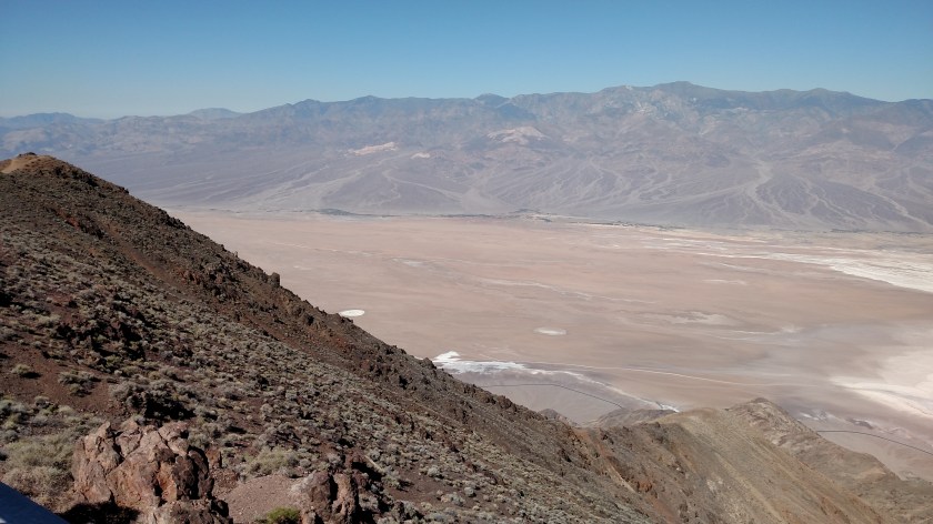
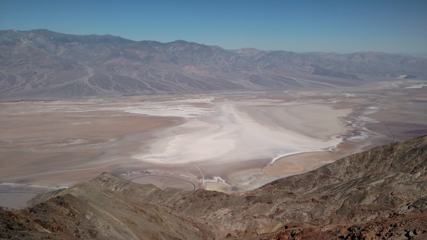
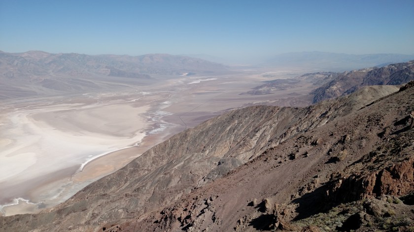
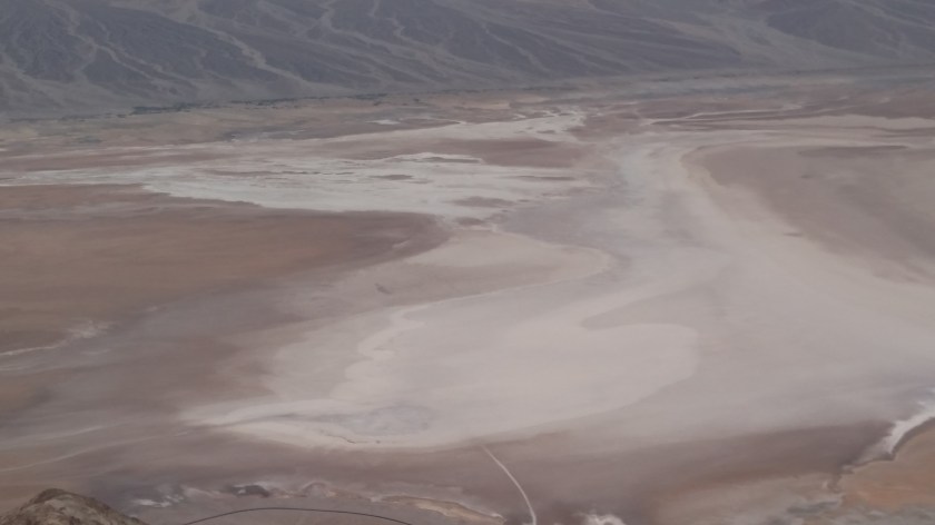
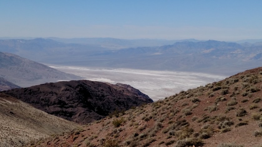
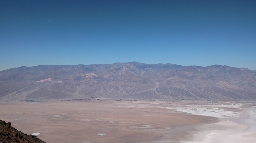
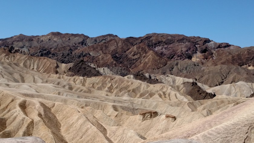
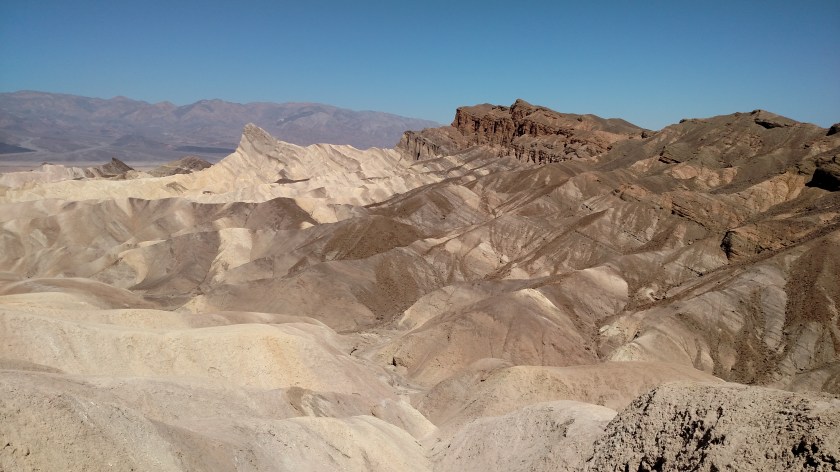
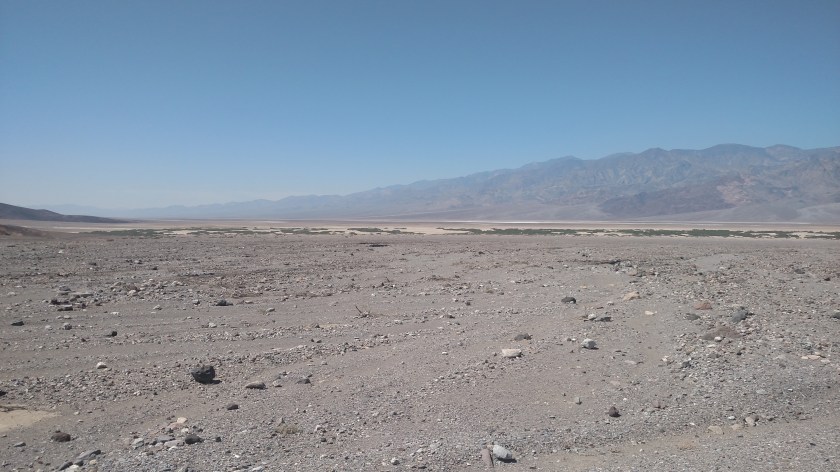
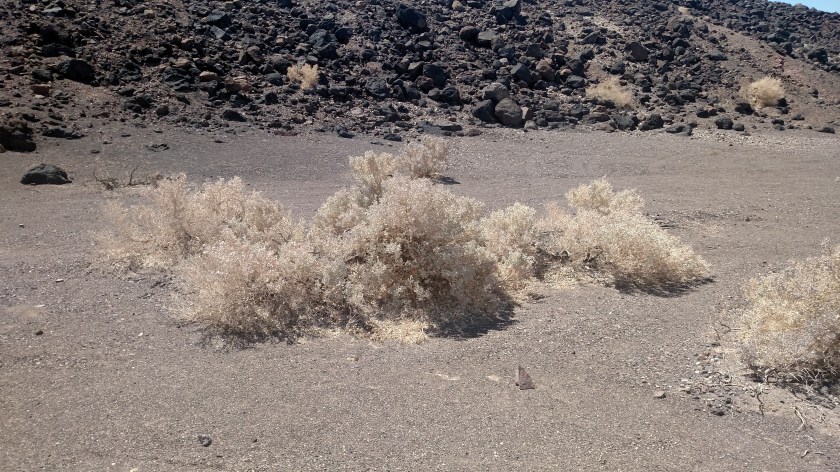
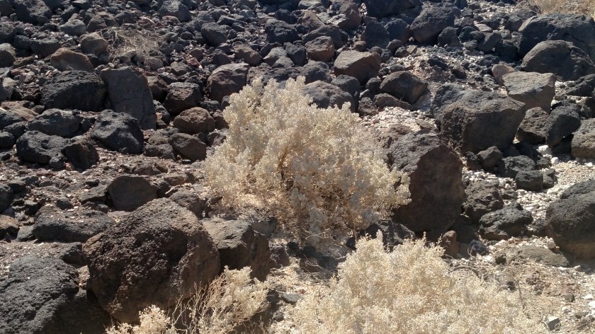
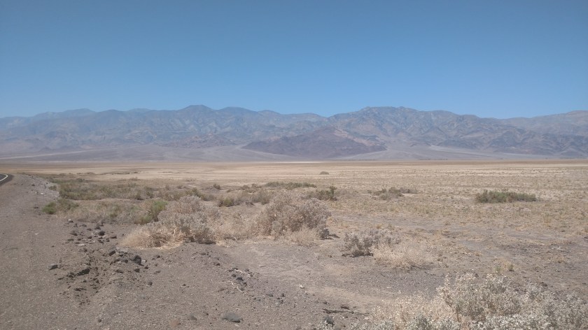
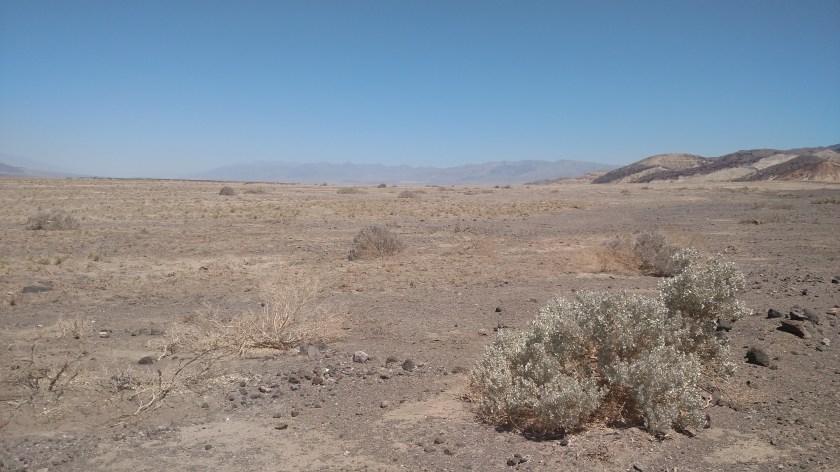
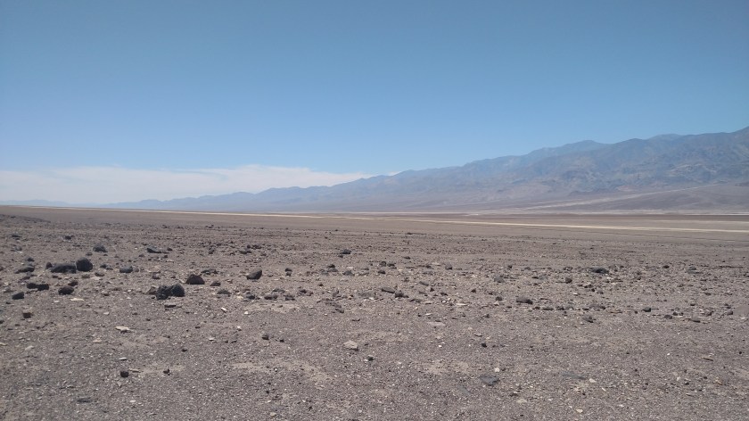
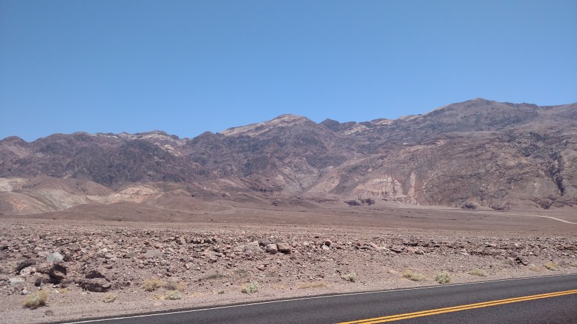
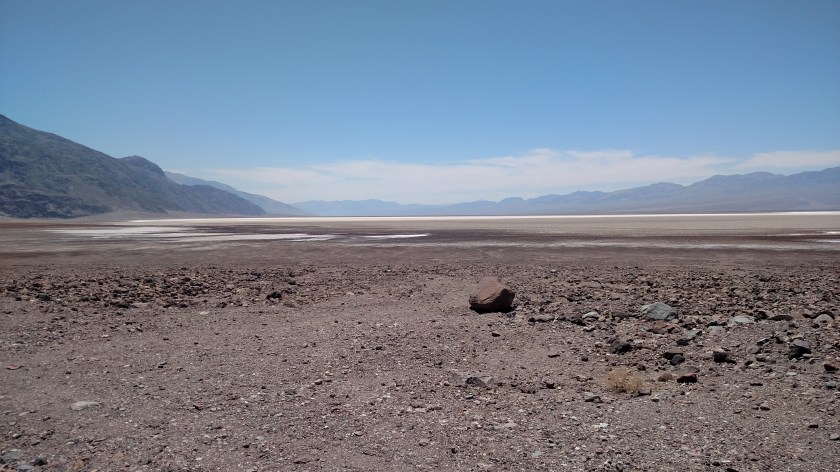
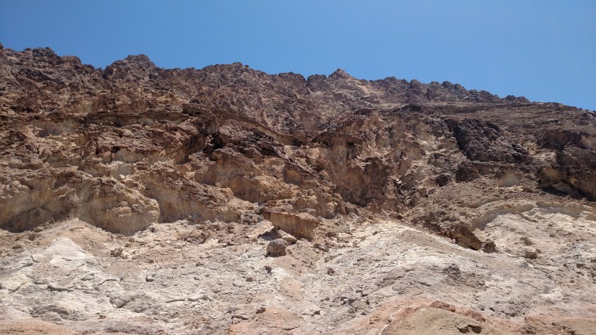
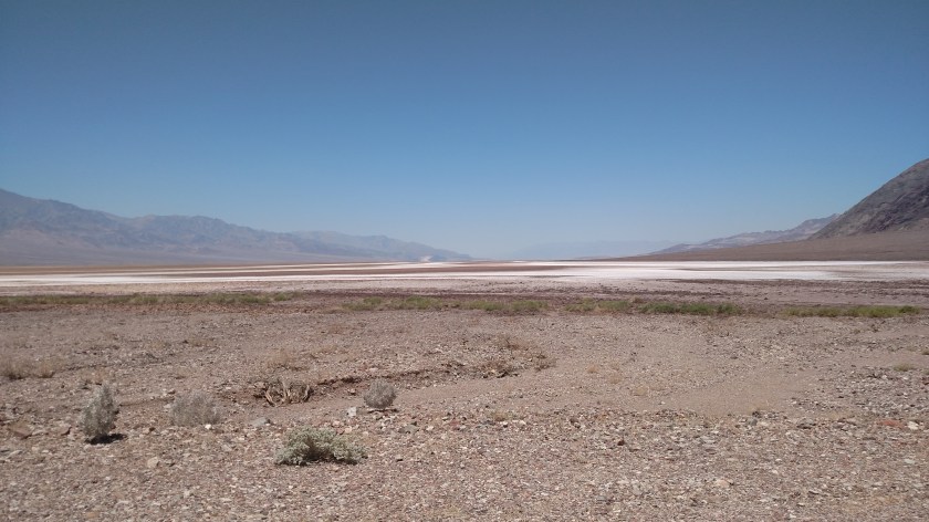
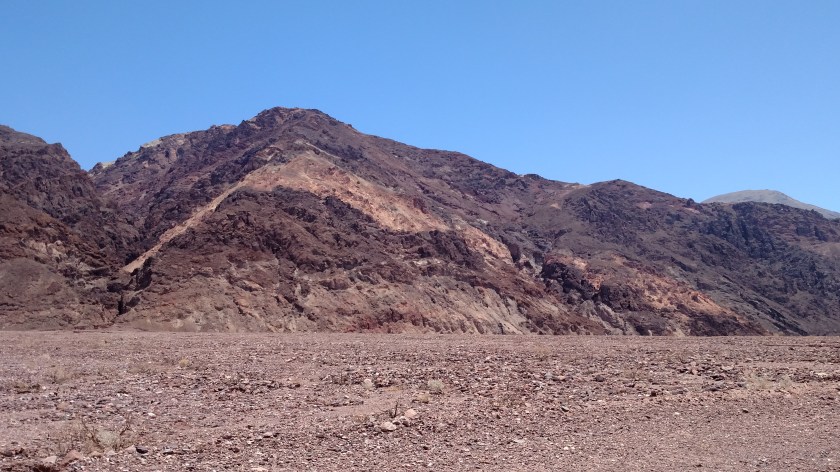
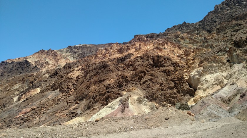
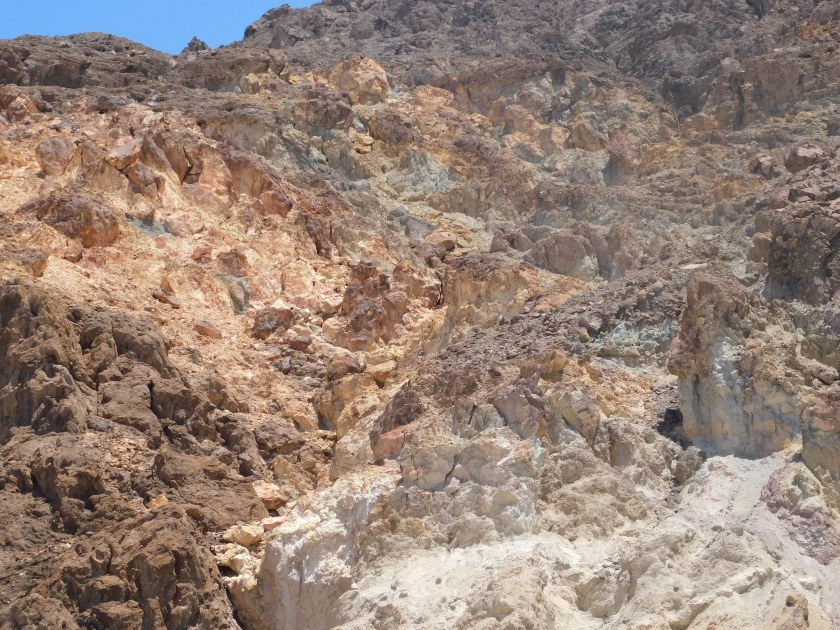
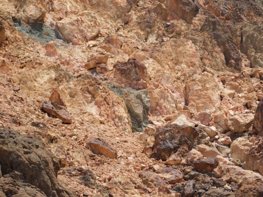
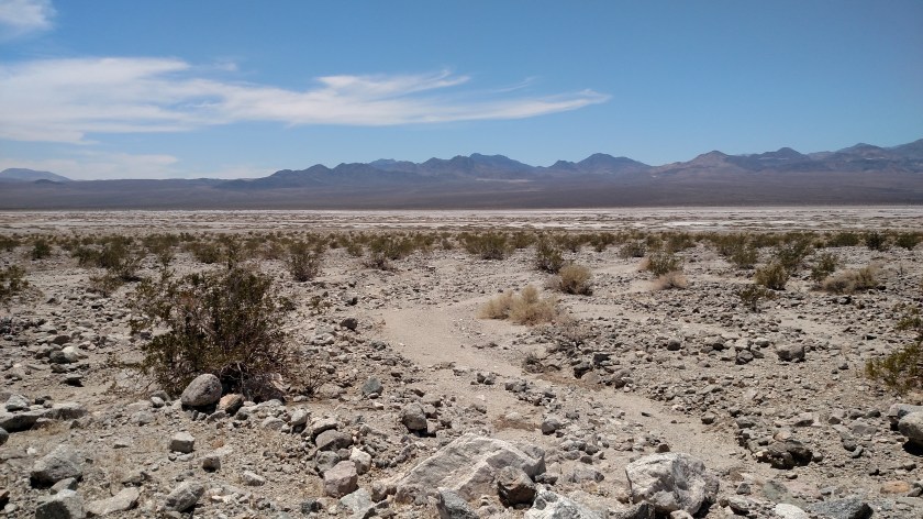
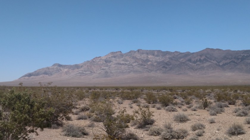
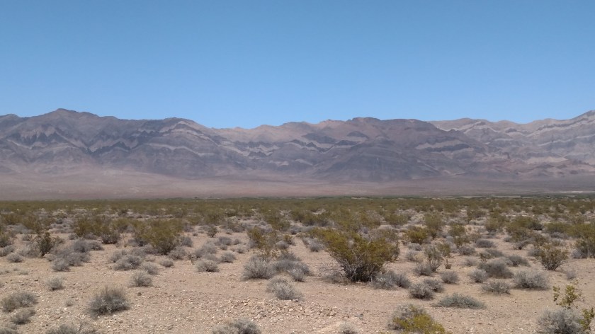
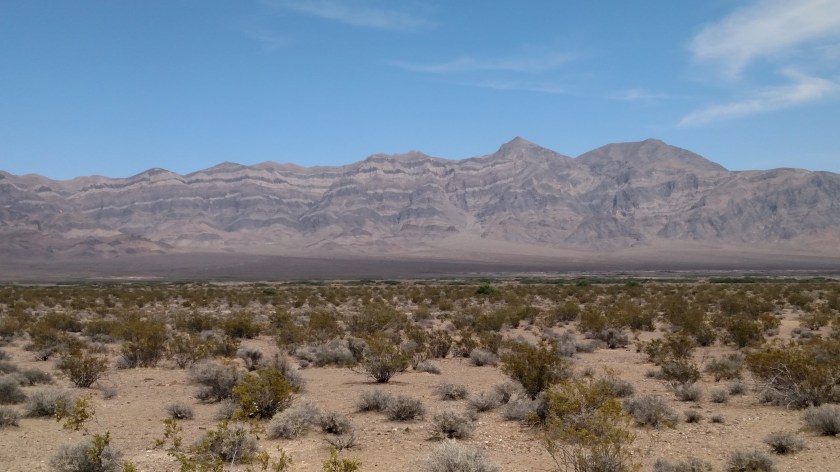
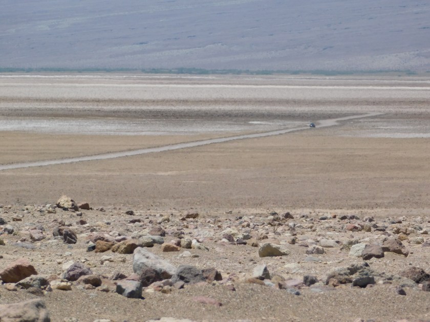
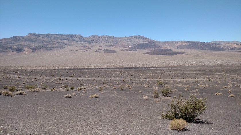
I’ve always pictured Death Valley as a flat, dry, empty desert. Well, Death Valley proper basically is that. But the desert floor lies between two long mountain ranges, the Amargosa Range to the east and the Panamint Range to the west, so it truly is in a valley.  The mountains on both sides are very tall, close to or over 10,000 feet.  The highest point is called Telescope Peak, in the western range, and it tops out at 11,049 feet.  The mountains are devoid of trees but are nonetheless very colorful in their own way.  Many shades of brown, gray, and green create some very interesting patterns and there is a wide variety as you travel through the valley.

IMG_20180603_110202327

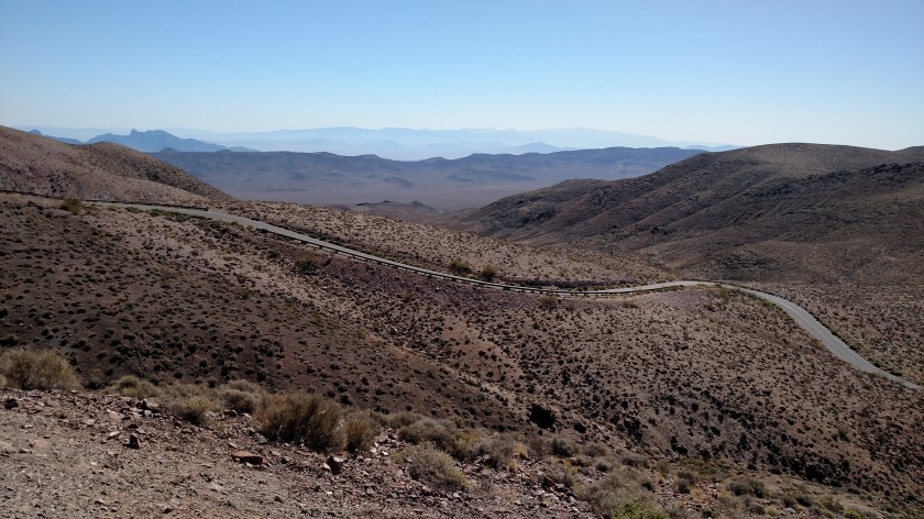
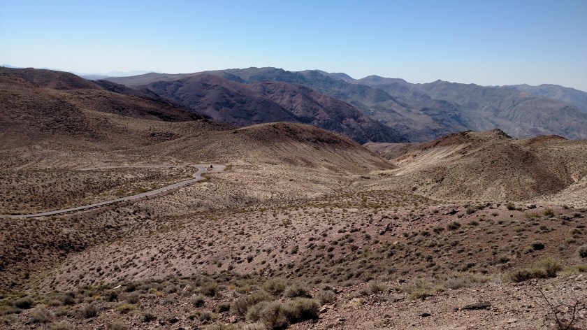
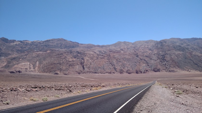
After entering the Park I needed to climb over the Amargosa mountains to get to the desert floor.  Actually, first I still had to get to the Amargosa mountains….

IMG_20180603_110219578

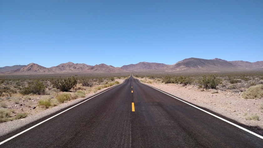
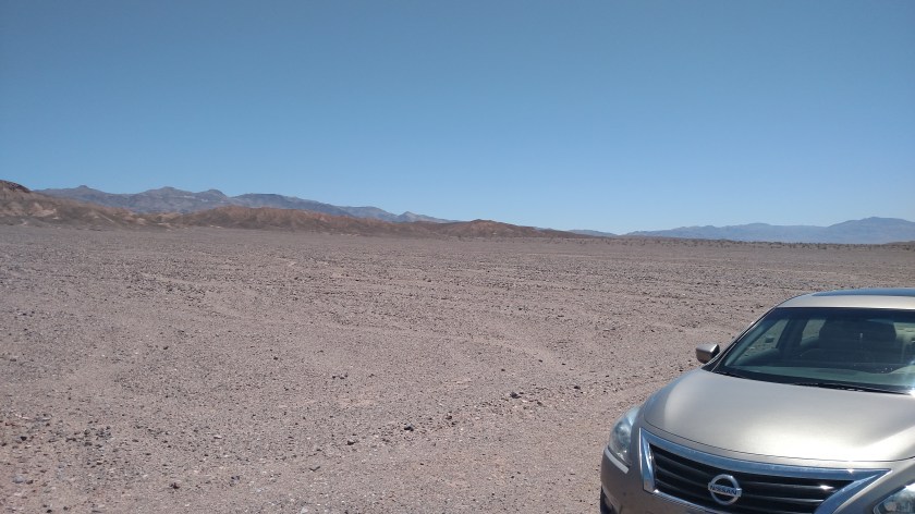
It took about 15 minutes but after getting over the mountains I was finally at the desert floor.

IMG_20180603_113958398

IMG_20180603_114023633

IMG_20180603_124332007

IMG_20180603_124337430

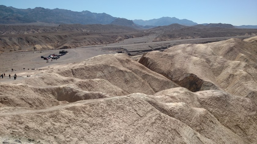
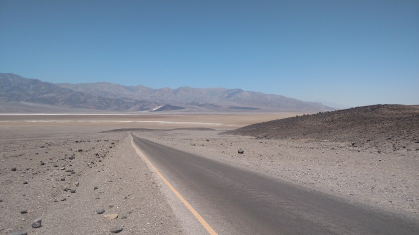
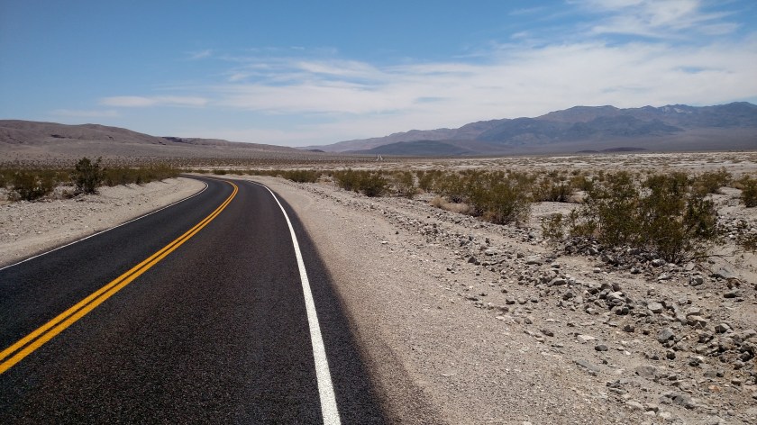
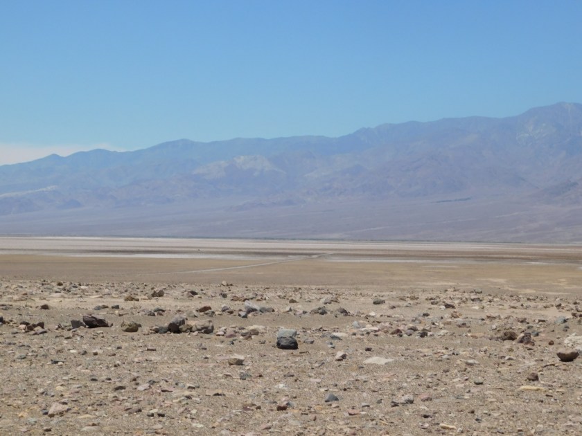
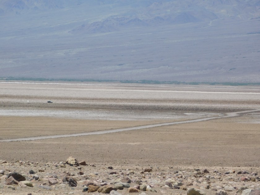
The majority of the paved roads in the Park run along the base of the Amargosa Mountains on the east side of the desert.   I headed towards Scotty’s Castle, and then to the place where the road ends.

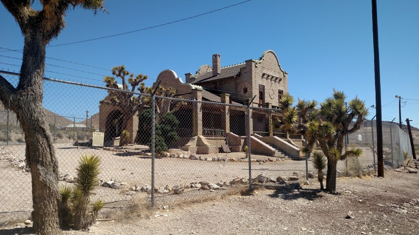
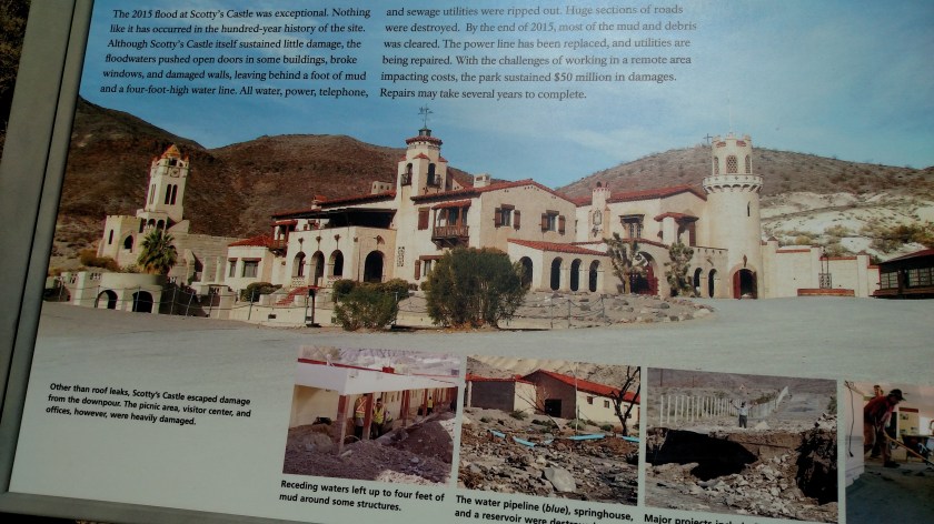
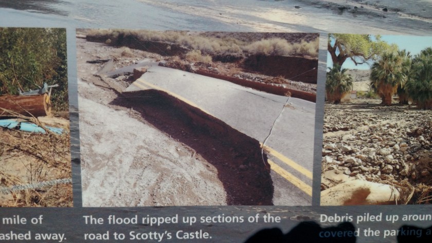
Scotty’s Castle is one of the two Visitor Centers in the Park.  It is a very ornate structure, and I would have loved to have seen it – but the road to it is closed.  On October 18, 2015 the northern part of the valley received over 3 inches of rain in a 5 hour period.  Needless to say, the desert isn’t prepared to handle that amount of rain (more than they get in a whole year!).  The roads were severely damaged, and while the Castle didn’t suffer any structural damage, there was cleanup work to do and obviously the roads must be fixed in order to get to it.  Over $50 million dollars in damage.  And Trump would rather spend money on his goofy military parade than fix one of America’s major National Parks.

These photos are from a sign at the Grapevine Ranger Station.  If you want to play along at home you can find a map of the Park on the US Park Service website, or just Google “Death Valley National Park map”.

IMG_20180603_122954200

IMG_20180603_123021174

IMG_20180603_123048846

IMG_20180603_123053350

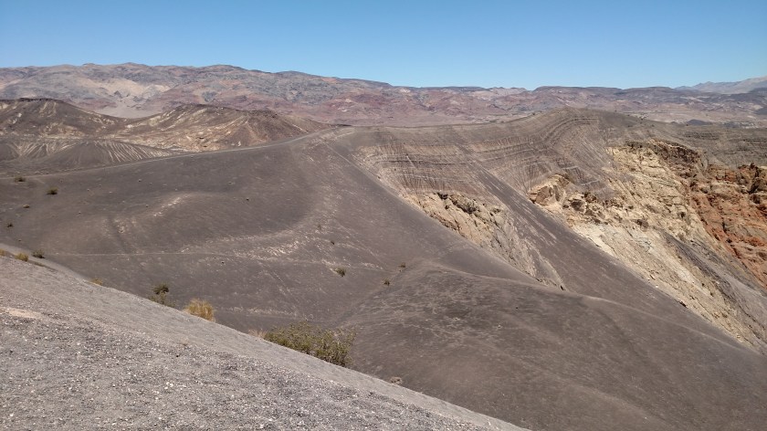
So since I couldn’t go to the Castle I continued northward until the paved road ended.  This put me at an overlook which let me peer down into Ubehebe Crater.

Here is an aerial view from a sign at the overlook:

IMG_20180603_124401793

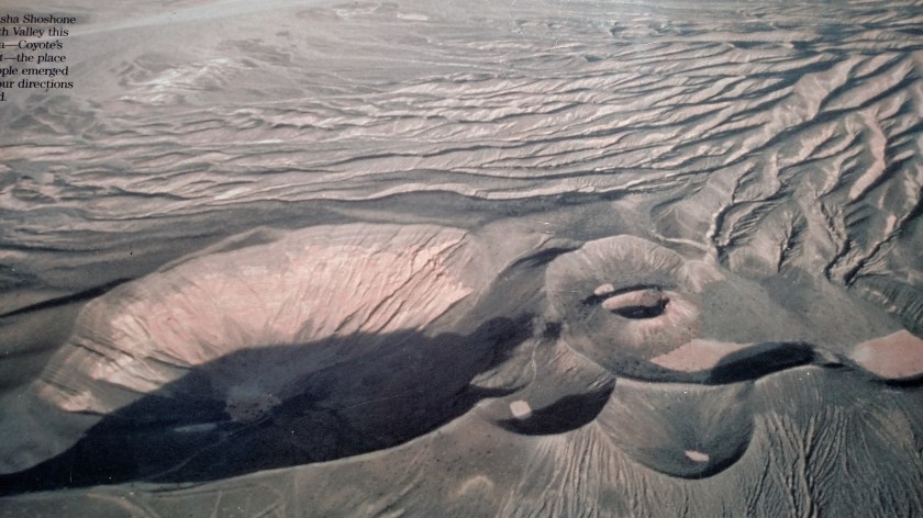
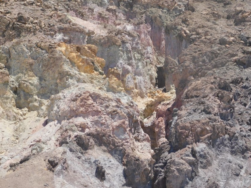
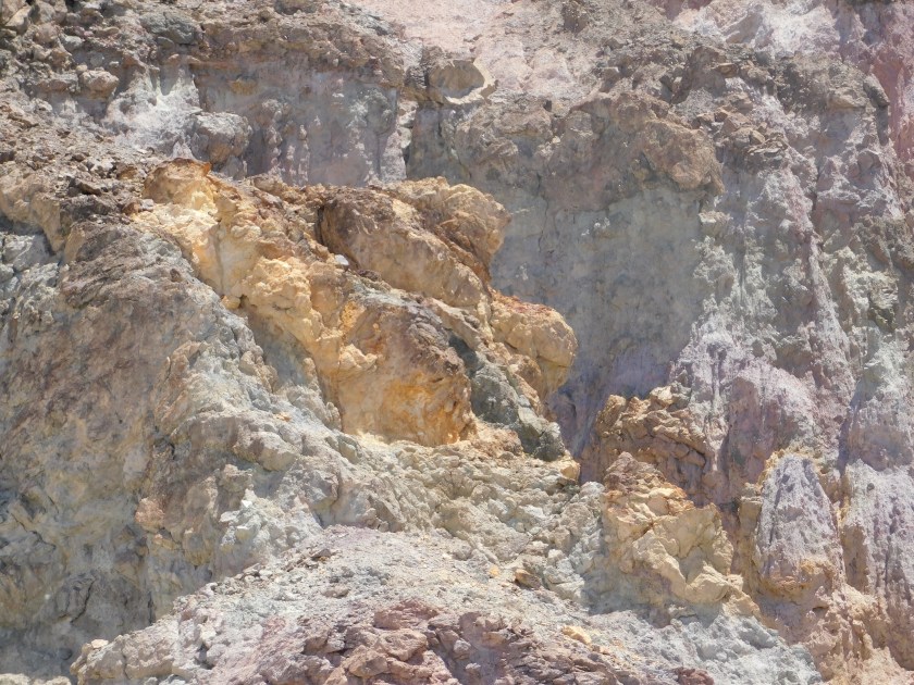
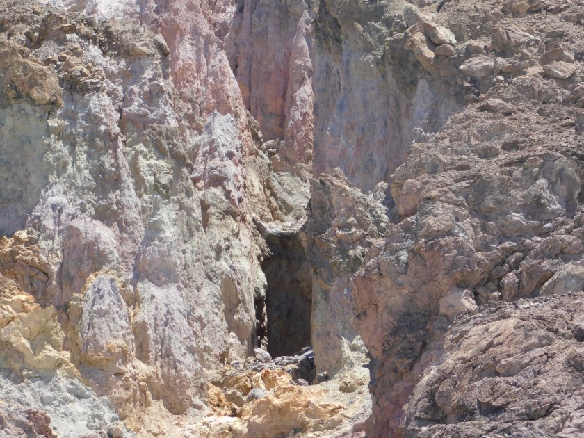
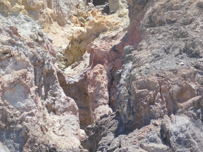
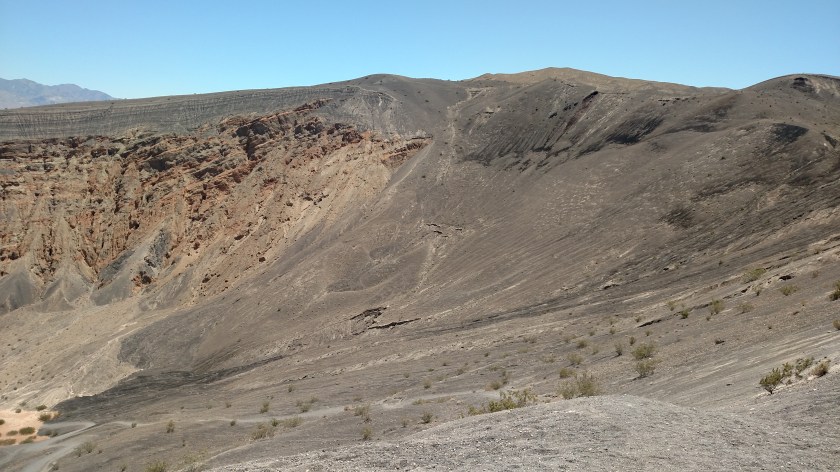
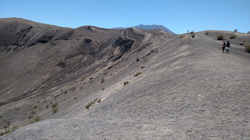
Ubehebe (you say it just like it’s spelled:  U-bee Hee-bee) is not the result of a meteor strike, but rather a volcanic eruption – similar to what is currently going on in Hawaii.  Magma underground hits ground water and the resulting steam must find relief, and the path of least resistance in this case was UP.  Rocks and debris were scattered over a 6 square mile area.  The resulting crater is 1/2 mile across and 500 feet deep.

Here is a panorama sequence, looking left to right:

IMG_20180603_124506352

IMG_20180603_124538918

IMG_20180603_124513157

IMG_20180603_124517097

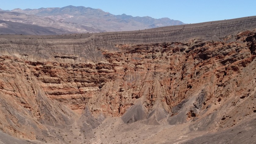
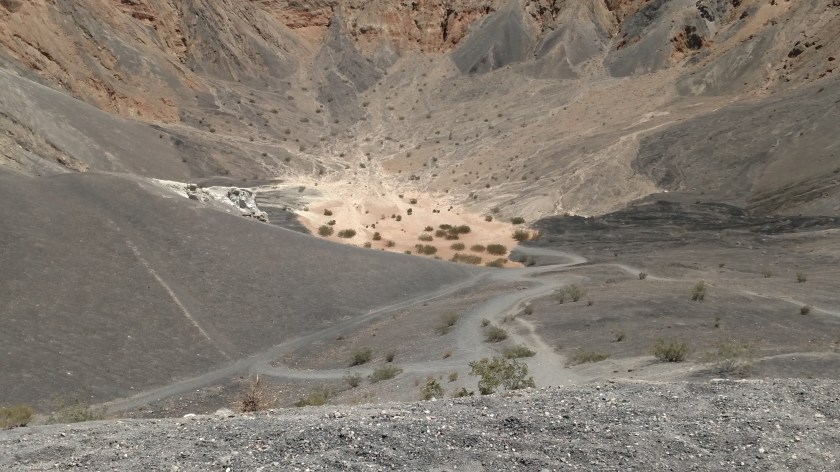
Here is a view the the bottom of the crater:

IMG_20180603_124525739

And here is a closer look at the far side, looking from my vantage point:

IMG_20180603_124538918

Since this was the end of the road I headed back the way I came to go to the Furnace Creek Visitor Center, the only one currently open.  The story continues in the next post.