Moab, UT to Grand Junction, CO

The Sunday of Labor Day weekend I drove from where I had been staying in Joseph, Utah east on I-70 to get to Grand Junction, Colorado, where I would be spending two nights.  Along the way I was planning to stop at Arches National Park to see one small area of the Park which wasn’t open to the public when I was there a few days earlier.

Shortly before getting to the entrance for Arches I saw these colorful rock formations not far off the road.

IMG_20170903_115455062

IMG_5388

IMG_5389

IMG_5391

IMG_5396

When I got to the entrance for the Park I saw there was a huge line of traffic waiting to get in.  I decided not to get in all that mess and further down the road, just before getting to the little town of Moab, I turned left and got on a scenic road which would take me back to the dreaded interstate.

Route 128 took me for a very pleasant drive alongside the Colorado River.  Huge, reddish-brown rock mountains lined both sides of the road, towering hundred of feet it the air.  This went on for about 20 miles!

IMG_20170903_130637472

IMG_20170903_130712960

IMG_20170903_130944998

IMG_20170903_131002701

IMG_20170903_131103966

The road briefly turned away from the river and got more desert-like (and heated up…. the highest temperature I saw on the car thermometer was 106!).

IMG_20170903_133458450

IMG_5424

IMG_20170903_134639838

IMG_20170903_135303249

Eventually I got back alongside the river for a few more miles.

IMG_20170903_140428522

IMG_20170903_140539381

IMG_5443

IMG_5444


Mesa Scenic Drive

The morning of Labor Day Monday I drove east of Grand Junction, Colorado and took a scenic drive south through the little town of Mesa.  Here are some of the things I saw that morning.

IMG_20170904_081005626_HDR

IMG_20170904_081038687

IMG_20170904_081624091_HDR

IMG_5461

IMG_5464

IMG_5469

And not all Aspen trees turn yellow in the Fall.  Some go rogue and turn orange or red.

IMG_5494

IMG_5492

Danger…. Danger, Will Robinson….

IMG_20170904_084100802

IMG_20170904_085644498

There I go, showing my age once again…

Colorado National Monument

The night before I left Grand Junction my Airbnb host asked me if I was planning to visit this National Monument, just outside of town.  I told him my scenic route would take me right past it but I wasn’t planning to stop.  He said I should so I did.  I got there just after it opened at 8 o’clock and spent the next 3 hours making the 23 miles scenic drive through the facility.  This turned out to be another great find which wasn’t on my radar.

IMG_20170905_085242801

IMG_20170905_085257118_HDR

IMG_20170905_090038834

IMG_20170905_090058201_HDR

IMG_20170905_090119650_HDR

IMG_20170905_090159623_HDR

IMG_20170905_090315987

IMG_20170905_090327792

IMG_20170905_094146707_HDR

IMG_20170905_095453304

IMG_20170905_102212163_HDR

IMG_20170905_104314142

About two thirds of the way through the Monument there was an overlook which gave me a look at “Fallen Rock” a HUGE chunk of a mountain side which had broken loose and slid downward.  It was in dark shade so my pictures didn’t turn out too well.  Here is a good one I found online.

Colorado-national-Monument-Fallen-Rock

(Photo credit: theworldisabook.com)

Believe me, the portion that broke off is enormous.  I’ll think of this from now on every time I see a “Watch for Fallen Rock” sign when driving through the mountains.  You probably will too.  You’re welcome.


Various Grand Junction CO to Orem UT

After leaving the Colorado National Monument outside of Grand Junction I headed north and then west on some scenic roads to get to my next stop.  Here are some of the things I saw along the way.

Not long after I got north of I-70 it became apparent I would be spending some time in scenery which was different from the mountains I have grown accustomed to being in.

IMG_20170905_114346589

IMG_20170905_114411433

When I got up near the town of Rangely, CO things started looking a little more habitable.  These were some interesting rock formations near the road I was on.

IMG_20170905_115615617

IMG_20170905_115711149

Just before crossing in to Utah I came to the town of Dinosaur, Colorado.  It is just south of the Dinosaur National Monument, which spans east to west in both Utah (to the west) and Colorado (to the east).  Since I had spent so much time in the Colorado National Monument earlier in the day I didn’t have time to go to this one, or to the Flaming Gorge National Recreation Area even further north.  Some pictures in the Visitor Center looked nice, though, so I will be coming back in May of next year on my way to California.

IMG_20170905_134911642

IMG_20170905_135144140

After crossing in to Utah I came across this scenic overlook.  There was already a car parked there and a gentleman was standing near the wall, admiring the view while his wife waited in the car.  It was becoming evident that wildfire smoke was going to be obscuring the view the further north I went.  I commented to the man that we had to take the bad with the good, but that there was way more good in this part of the country.

IMG_20170905_121823885

I would have to keep telling myself that throughout the day today after I learned a few hours after taking this photo that my Airbnb in Orem would not be available to me and I’d have to spend several hours making other arrangements.

When I got close to Provo I saw that a wildfire was burning between where I was and town.

IMG_20170905_175235073

This is the Tank Hollow fire.  When I looked to the left towards the sun (which would be setting in about an hour and a half) I noticed that the smoke made it appear as a large orange disk.  It looked even more dramatic, and a deeper orange, when viewed through the tinted glass at the top of the car windshield.

IMG_20170905_175433164

As I proceeded north on Route 6 I went around a turn and saw several wind turbines, slowly turning in the breeze.

IMG_5609

IMG_5611

I went back today and got some other photos.

IMG_20170906_150032795

IMG_20170906_150042024_HDR

They have lights nearby which apparently illuminate them at night.  Given their proximity to the road that would be a pretty cool sight, but I don’t like to drive at night on unfamiliar roads so I’ll just have to find some photos online.


Various places in northern Utah

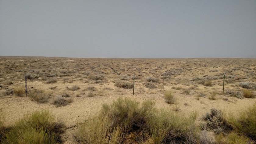
My original plan once I got to Orem was to go further north, past Salt Lake City, and make a scenic loop around Bear Lake.  That loop would have taken me from northeast Utah, through a small portion of western Wyoming, the southeast corner of Idaho, and back to Utah.

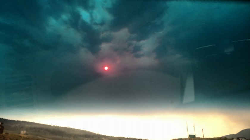
This morning I drove north (in rush hour traffic due to a late start on my part (late to bed, late to rise…) until I reached Brigham City.  After exiting the dreaded interstate I entered the closest town on the southwest side of Bear Lake into my GPS unit.  When I discovered I wouldn’t get there until after 11am local time I did some quick calculating and decided to abandon the loop idea because I’d end up back in SLC just in time for evening rush hour (plus the visibility was so poor, due largely to wildfire smoke, that I wouldn’t have seen much anyway).

I headed back south, went around SLC to the east on I-84 and I-80, giving the city a wide berth, and did a small scenic drive near Park City, ultimately taking me to Heber City.  There I had my car serviced (oil & filter, tire rotation), had lunch, and stopped at the library to use their computer to book another Airbnb for tonight (I’m writing tonight’s posts from Eagle Mountain, UT, northwest of Provo).

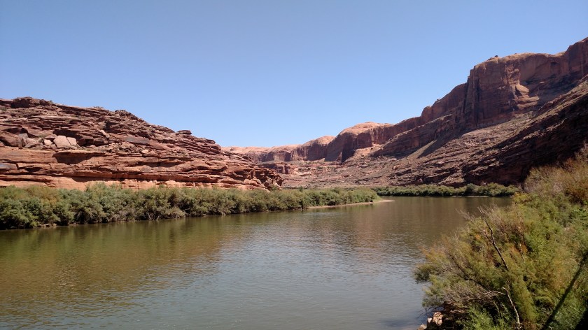
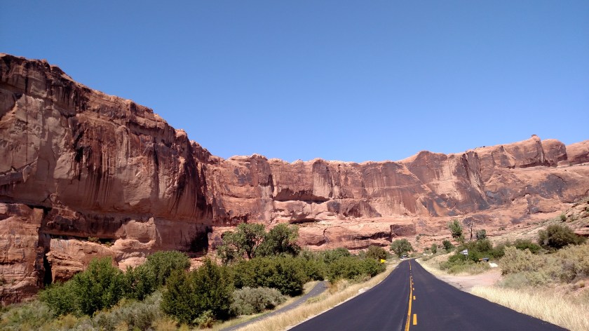
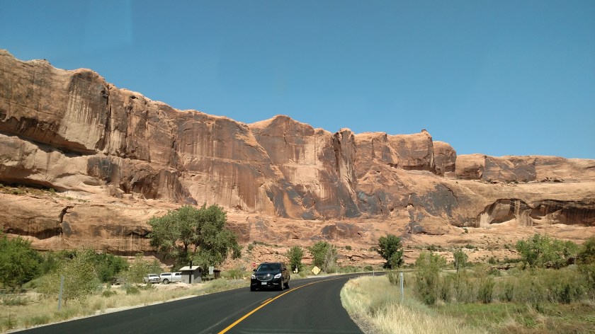
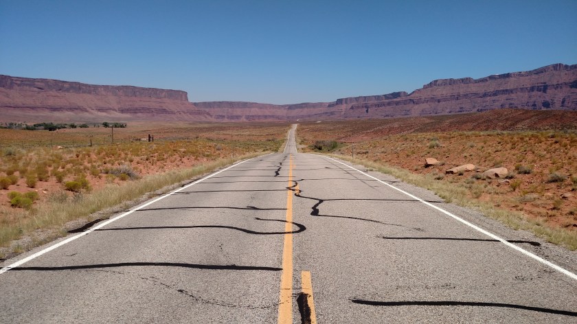
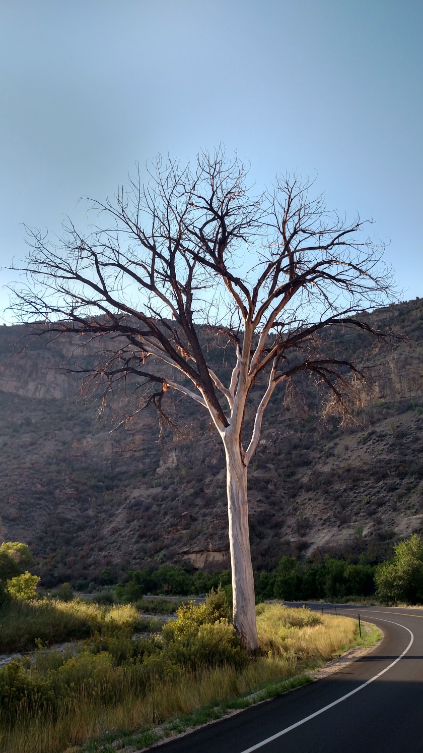
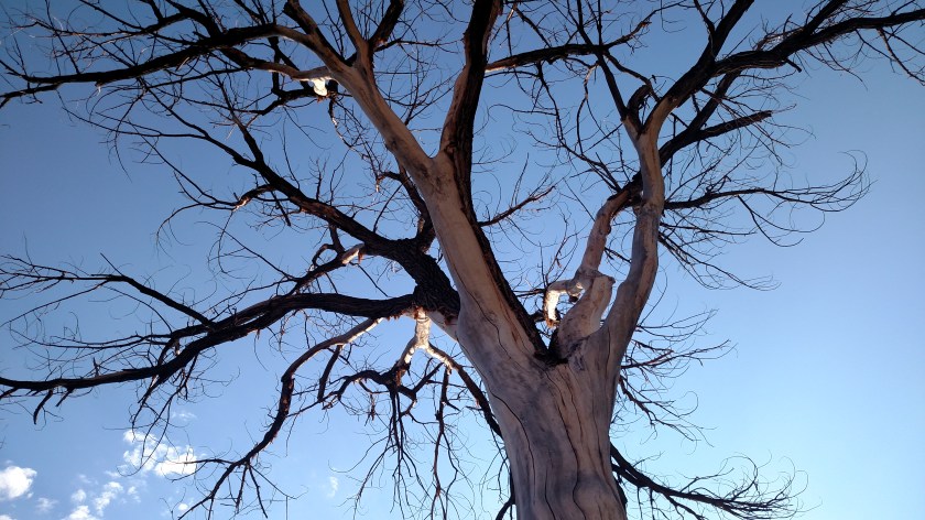
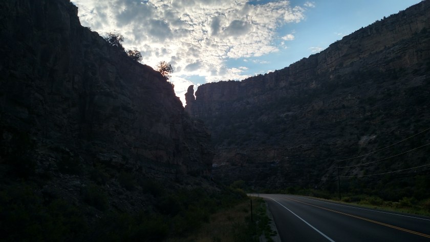
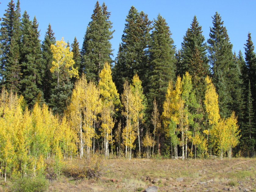
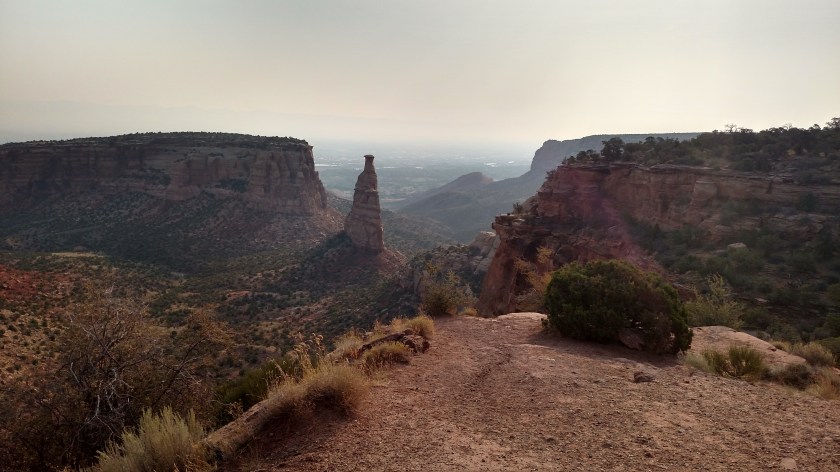
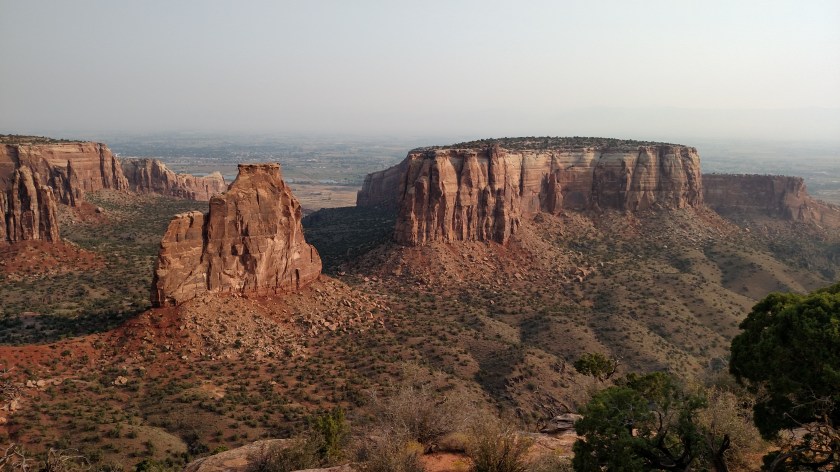
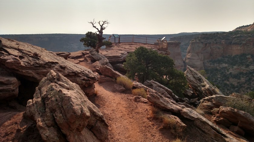
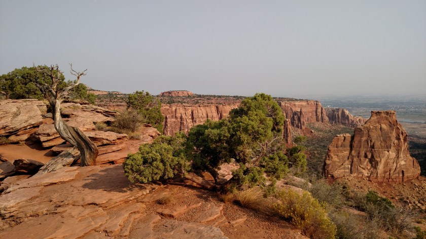
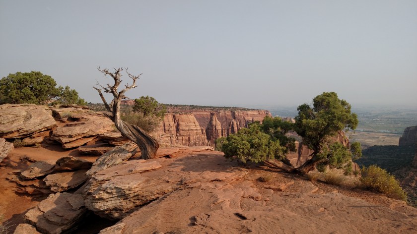
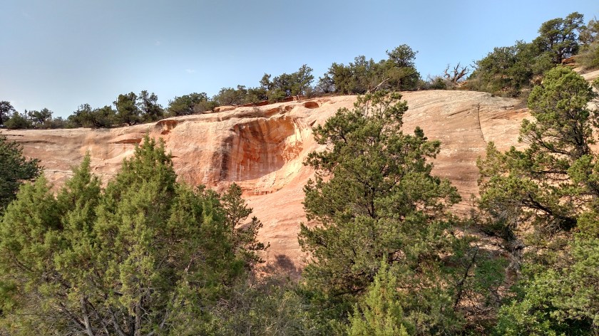
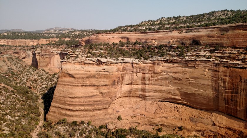
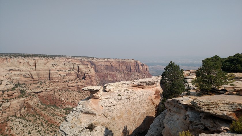
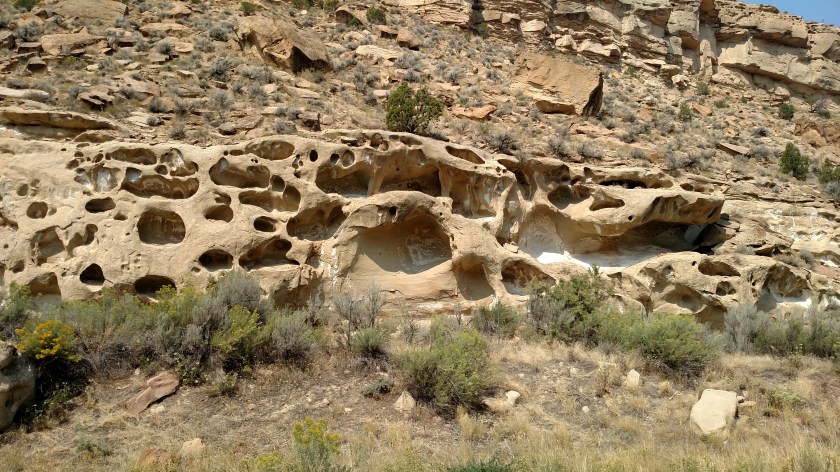
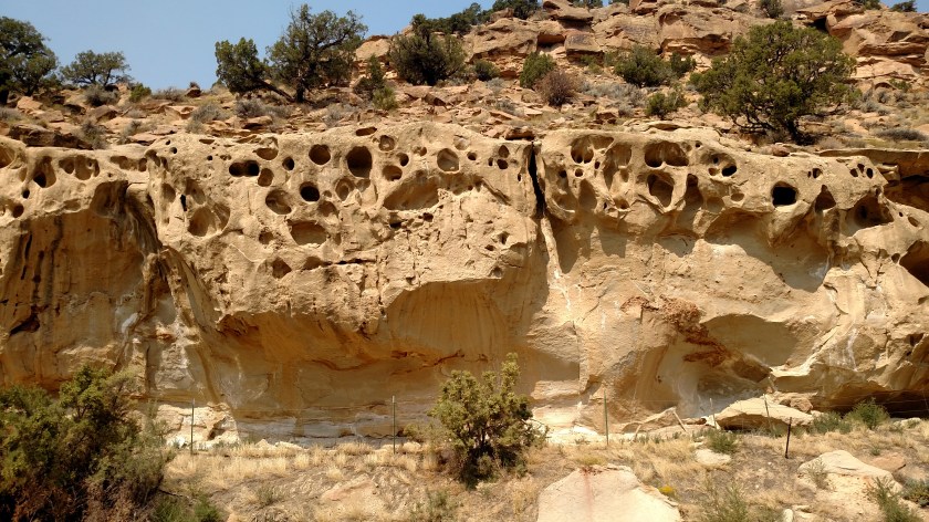
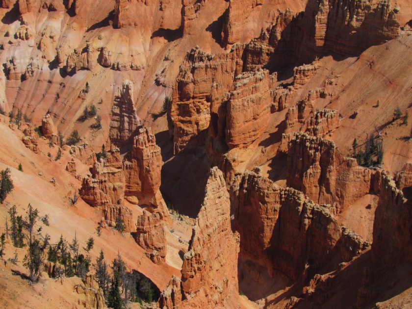
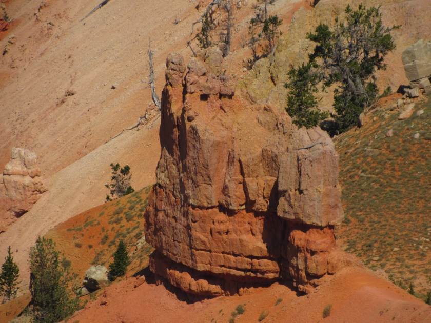
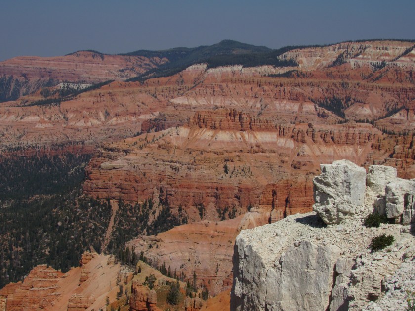
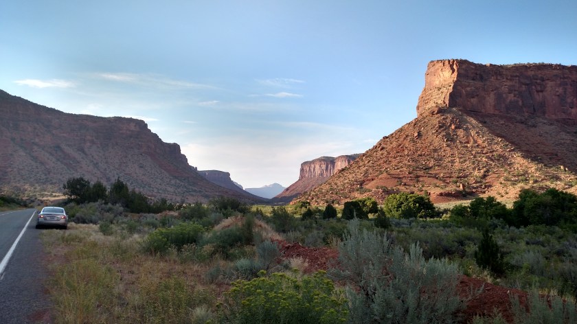
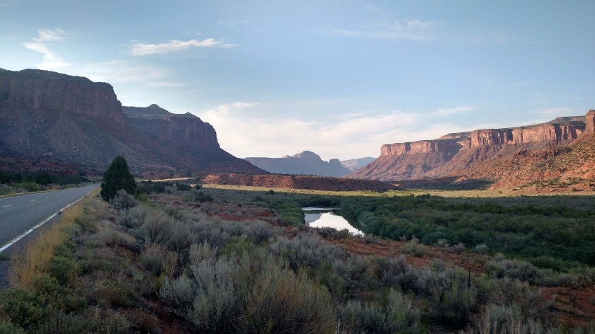
Here are some of the things I saw throughout the day.

IMG_20170906_134028327

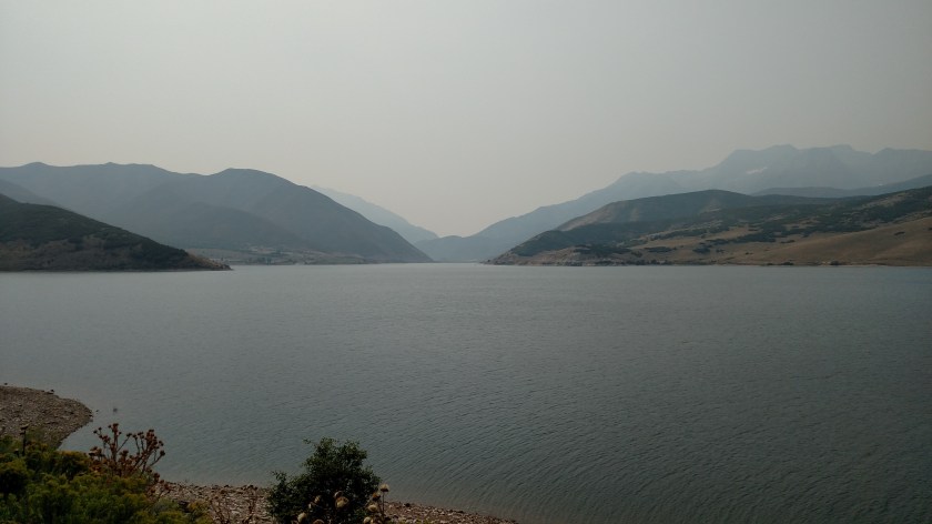
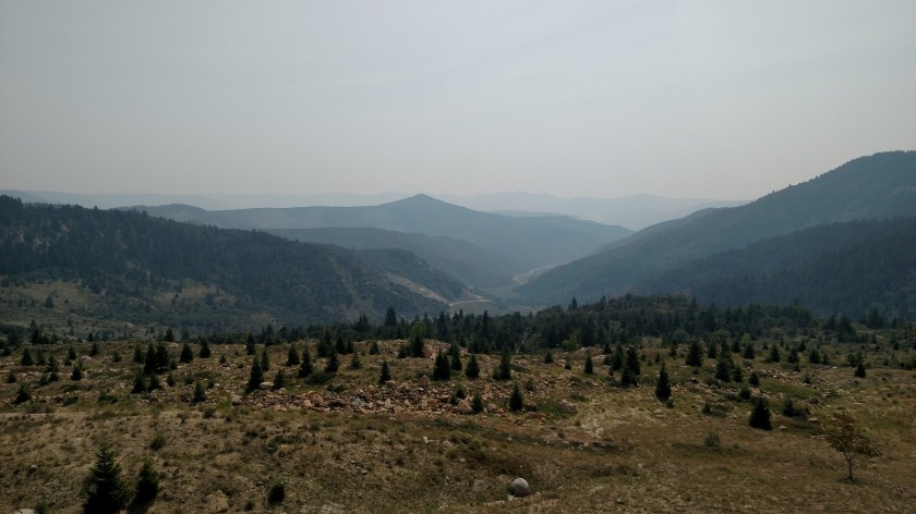
There are more mountains out there, you just can’t see them due to the smoke.  This is Deer Creek Reservoir, southwest of Heber City.

Next I traveled further south to Provo and stopped at the LDS Temple there.

IMG_20170906_142625395

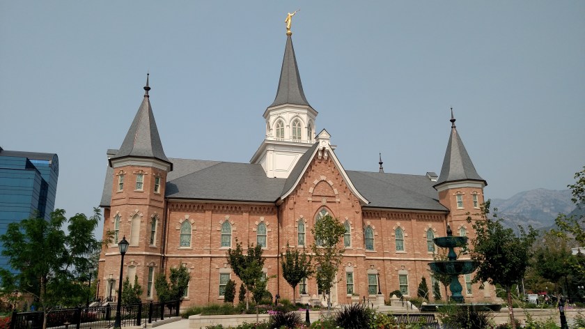
I went inside and found two gentlemen, dressed in white from head to toe, who greeted me soon after I entered the building.  I asked if I was allowed inside the Temple and they politely informed me this was a far as I would get.  They said I could go downstairs to a small reception area but that no photos were allowed anywhere inside the building.  One of the gentlemen followed me downstairs to be sure I complied with their rules (I actually think he was tempted to ask me if he could try on my Safety Sam vest once he got away from the other guy but low and behold, here were two more gentlemen dressed all in white downstairs, so he never got the chance).  I don’t think I would have made out any better if I were dressed all in white as they were scanning ID’s of some folks who were then allowed inside the Temple.  I doubt if they had flashed their AAA cards….

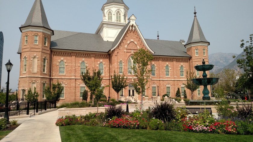
I’m posting another photo of the Temple to show some of the gorgeous flower beds and landscaping they had all around the property.  I had been to the Temple up in Salt Lake City years ago when visiting my youngest brother and his wife, who lived up there for many years.  On one visit I went and heard the Mormon Tabernacle Choir perform there.  It was quite impressive.

IMG_20170906_142645417

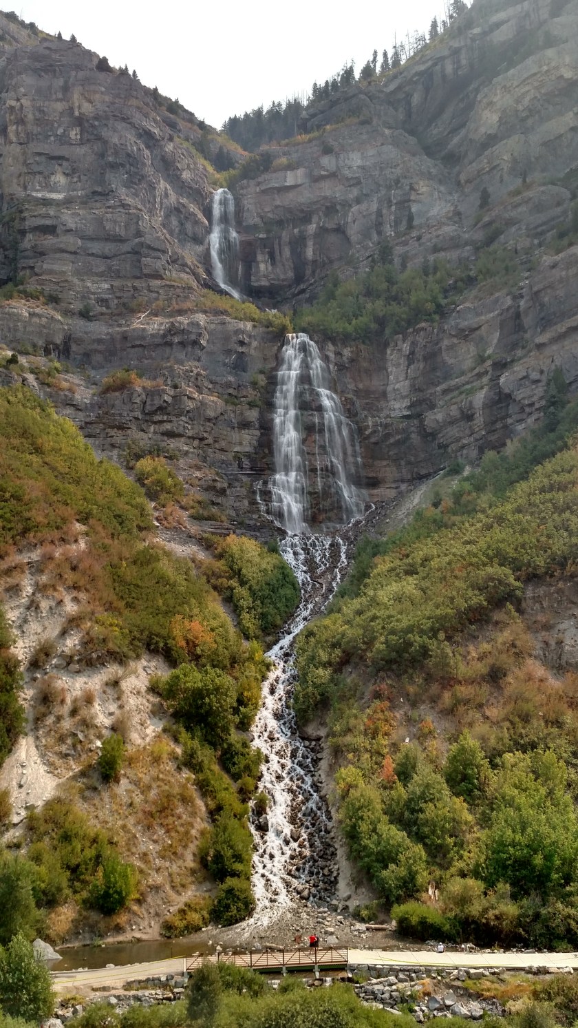
Further down the road I found Utah’s version of Bridal Veil Falls.

IMG_20170906_135630555_HDR

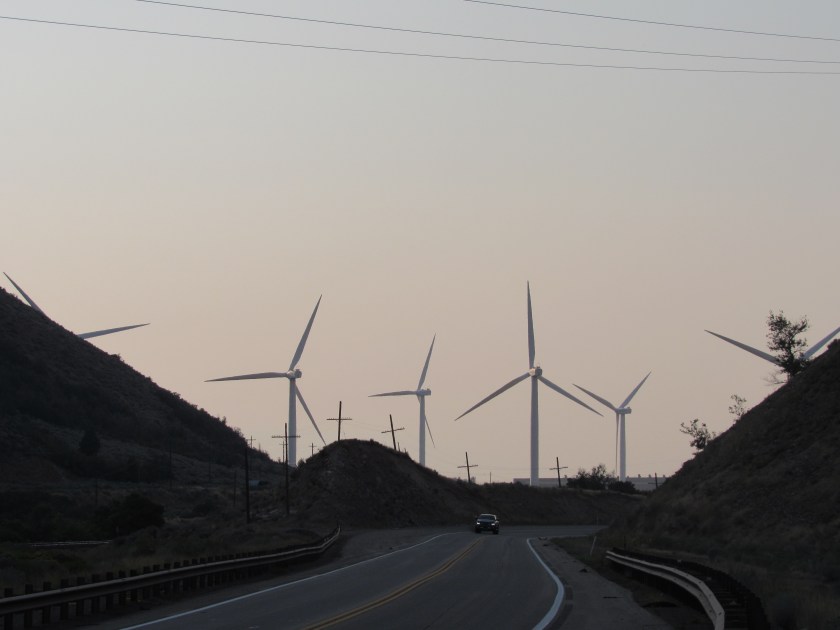
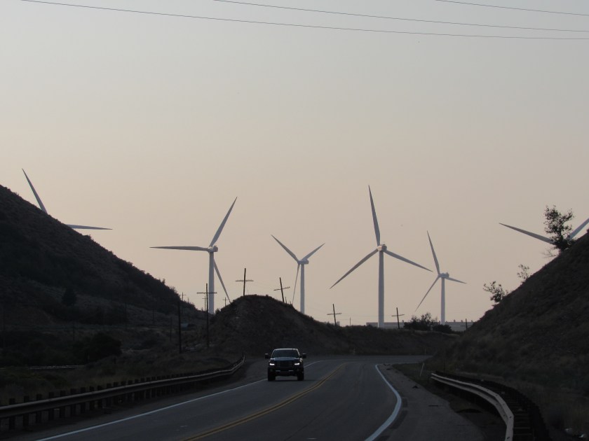
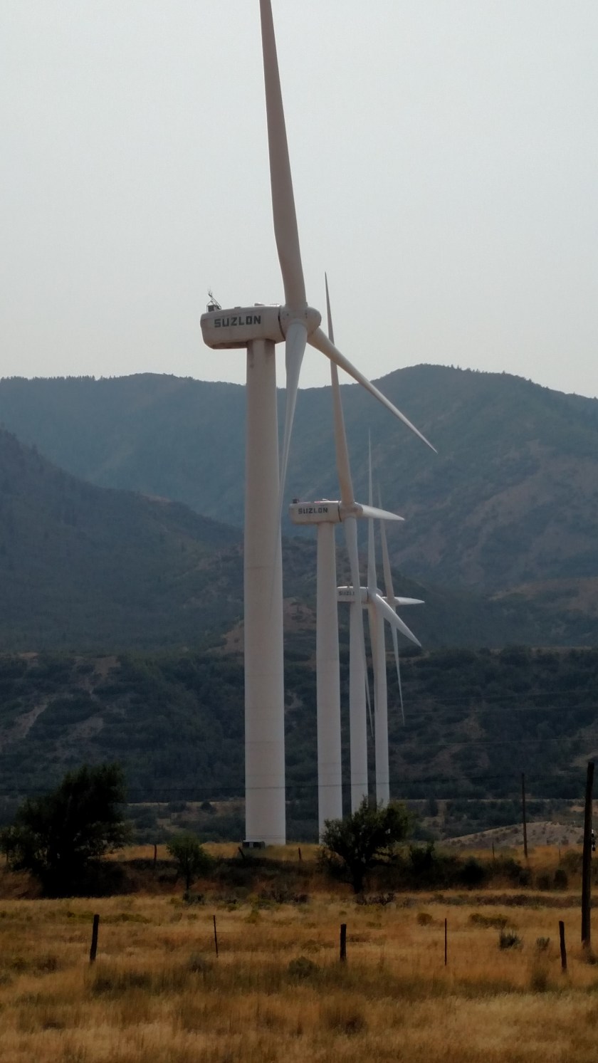
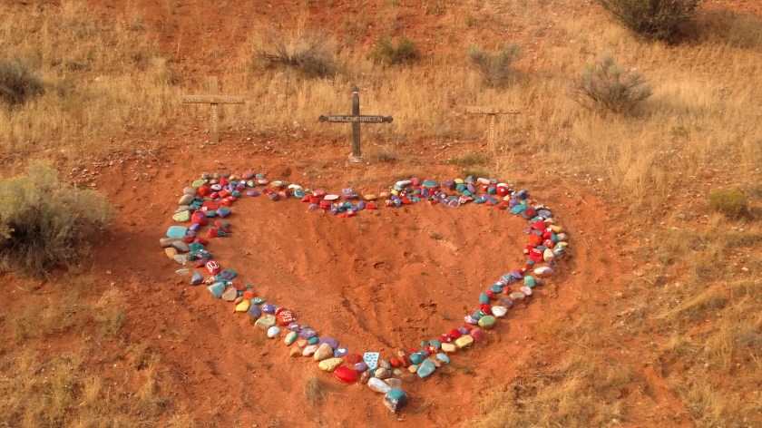
I then went further south and did a scenic loop near where the Tank Hollow fire was still burning (it increased from 5,097 acres to 7,696 acres overnight and is still only 44% contained.  As I got back to Route 6 I saw this shrine on the hillside across the road at the T-intersection where I was to turn left.  Someone had painted lots of rocks various colors and placed them in this pattern.  There were 3 wooden crosses at the top with names of various people.

IMG_20170906_174353176

Tomorrow morning I hop on the dreaded interstate and go all the way south, almost as far as Las Vegas.  Before crossing the state line, however, I’ll exit the highway and go through Zion National Park.  I’ll be staying in the little town of Kanab, just east of the Park for the next 4 nights.

No pictures tonight. Sorry, folks.

My Airbnb host in Orem, Utah wasn’t home and never sent me information with the code to get in to the house. Airbnb was useless in trying to resolve the situation and find me a replacement property. It took me two tries but I finally checked in at a Holiday Inn Express. They have WiFi but I don’t trust how secure it is and won’t connect my computer to it. I am making this entry from my phone.

Not sure yet where I will stay Wednesday night. I may go somewhere today which has a secure wifi connection and book another Airbnb near here. Tomorrow (Thursday) I go back to southern Utah and things should return to normal.

Wildfire smoke has returned (well, I am far enough north to be back in it) so where I will be going today (NE Utah, SW Oregon and Western Wyoming) will likely have poor visibility. I will be making a big loop on scenic roads around Bear Lake. I also need to have my oil changed again and probably buy new tires for the car, or at least have them rotated one last time.

I will be back in southern Utah Thursday afternoon in time to go through Zion National Park, which I was in briefly a few years ago (another amusing JohnBoy story).

Various locations today

Today I made a big clockwise loop on scenic roads.  I headed east from where I was staying in Grand Junction, Colorado to Route 65 which took me south past Mesa to the town of Delta.  From there I proceeded further south to Montrose, where I stopped briefly at a National Park.  I got back on the road and headed even further south to Ridgway (with a quick side trip to Ouray for a photo op), went west to Placerville and north on Route 141, back to Grand Junction.

I’ll post the Mesa Scenic Drive pictures separately, probably tomorrow.  Here are other things I saw today.

Before even getting out of Grand Junction I saw this formation along Interstate 70.  It still boggles my mind that stuff like this is found right along the highway.

IMG_20170904_075430271

IMG_20170904_075622707

IMG_20170904_075757989

I stopped to take a picture of this lake and found a woman who had her three dogs out to enjoy the day.

IMG_20170904_093955719

Clockwise from the top, meet Gemstone (brown), Dancer (black) and Kilo (gray and white).  I didn’t write down the nice woman’s name and don’t recall what it was.  I believe she said she’s from nearby Delta.

IMG_20170904_094153364

This was an unusual find in the little town of Delta.

IMG_5524

And these were two corn fields which straddled Route 50 near Delta.

IMG_5522

IMG_5521

After leaving Black Canyon of the Gunnison National Park I saw this little recreated village on the way back to Montrose.  What caught my attention was the Bull Durham sign (I live in Durham, NC, where the movie Bull Durham was filmed.  It was also a cigarette brand, manufactured in Durham).

IMG_20170904_143119120_HDR

IMG_5542

This was taken after my little side trip to Ouray.  I am now heading west towards Placerville, CO.

IMG_5558

And these were taken late in the day as I proceeded north on Route 141.

IMG_20170904_180010574_HDR

IMG_20170904_180633639_HDR

IMG_20170904_181742461_HDR

IMG_20170904_181338439_HDR

In a field below this mountain is all that remains of the Driggs Mansion.

IMG_20170904_184553422_HDR

IMG_5580


Black Canyon of the Gunnison NP

Black Canyon is a National Park located about 10 miles east of Montrose, Colorado, along the Gunnison River.

Or is it Black Cow of the Gunnison??  This was what greeted me on the way in to the Park.

IMG_5527

I didn’t get a chance to visit the entire Park but it definitely whet my appetite for a return trip next May on my way out to California to start my 2018 road trip.

IMG_20170904_124220497_HDR

IMG_20170904_124243970_HDR

IMG_20170904_125212478_HDR

IMG_20170904_133452170

IMG_5532

IMG_5533

And to give you some idea how deep this canyon is, here is a photo of the view from an overlook.  Then I’ve zoomed in on the Visitor Center which is at the top of the right (darker green) mountain.

IMG_5538

IMG_5540

Here are some photos from two of the overlooks along the Rim Drive.  I didn’t have time to stop at all of them.

IMG_20170904_125216828

IMG_20170904_133320666IMG_20170904_133550634

IMG_20170904_134952754_HDR

IMG_20170904_135118943

You couldn’t pay me enough to go down a few steps down to this unshielded viewing spot.  The light brown rock is on my side of the canyon.  The dark brown rock beyond (directly above) it is on the other side of the abyss.

IMG_20170904_135043853