The Red Desert

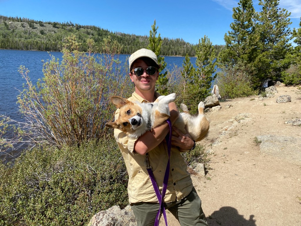
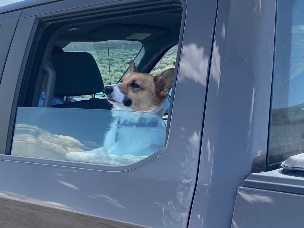
Saturday, June 19 was my birthday! My brother and sister-in-law asked me if I wanted to do anything special and I said “yes, I would like to go to the Red Desert”. They had given me a map of it and, while desolate, it sounded like an interesting place. Jen had to go out of town that afternoon for an overnight family function down in Colorado but she, Ellie (their corgi) and I went downtown Saturday morning to the Farmer’s Market, to see part of the “art walk” along the river and to get brunch from the Lander Bake Shop (a yummy quiche and an apple cake I think she called “Gerty Bread”).

My brother told me that the road in the Red Desert was rough, and it’s condition unpredictable, and that we should definitely take his F-150 truck, so after lunch we (he, Ellie and I) set off to explore the Red Desert.

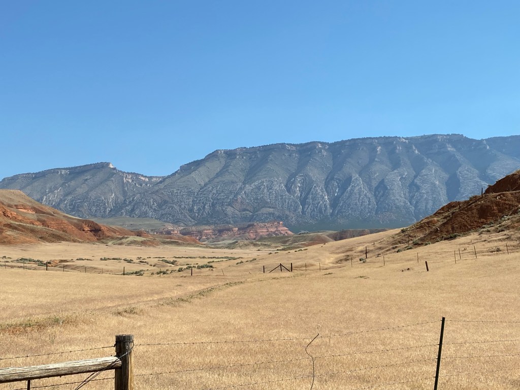
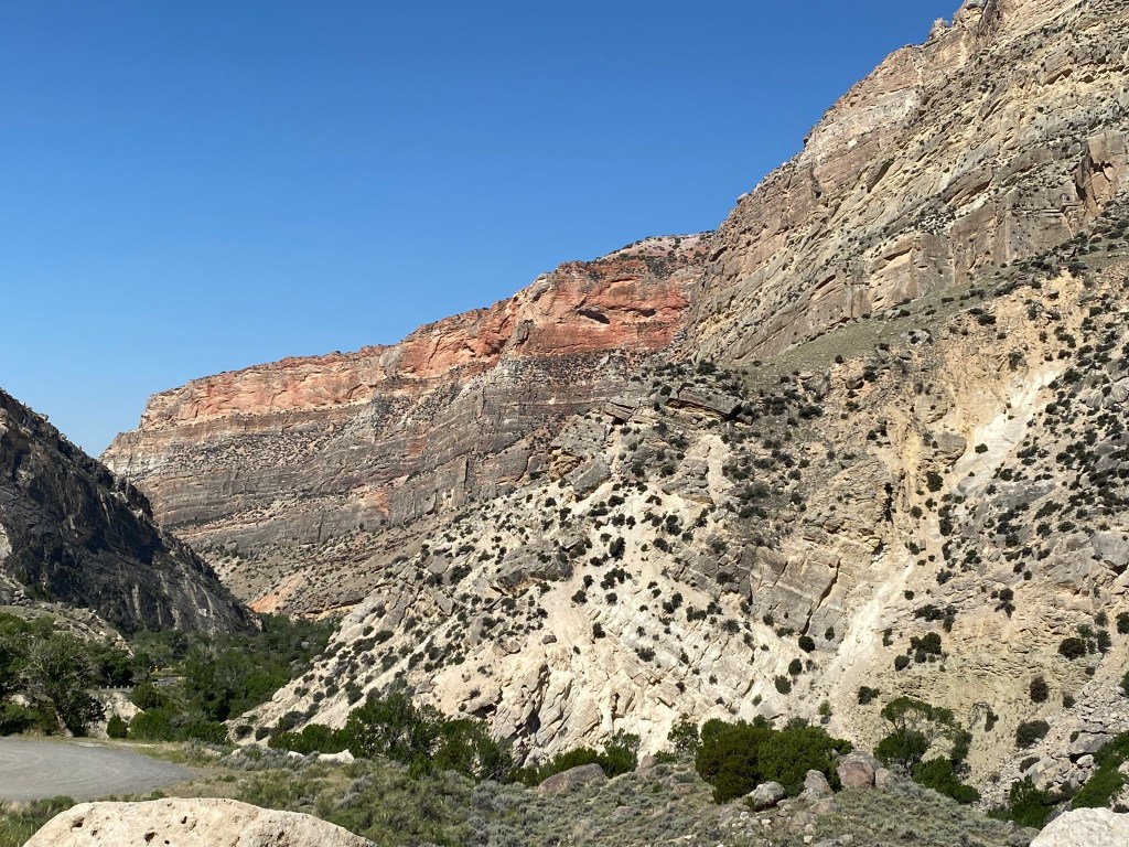
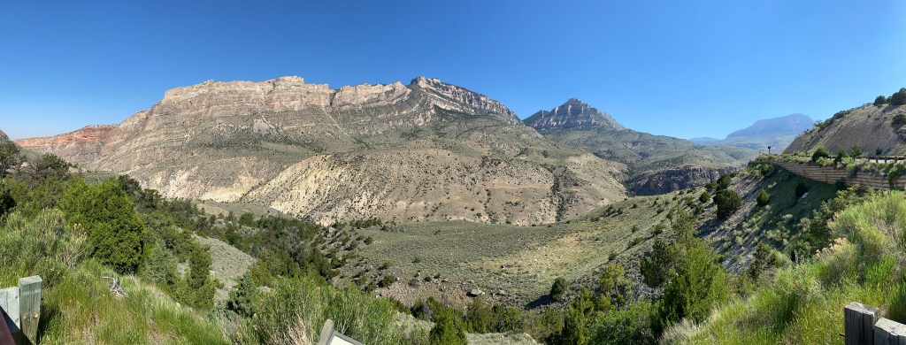
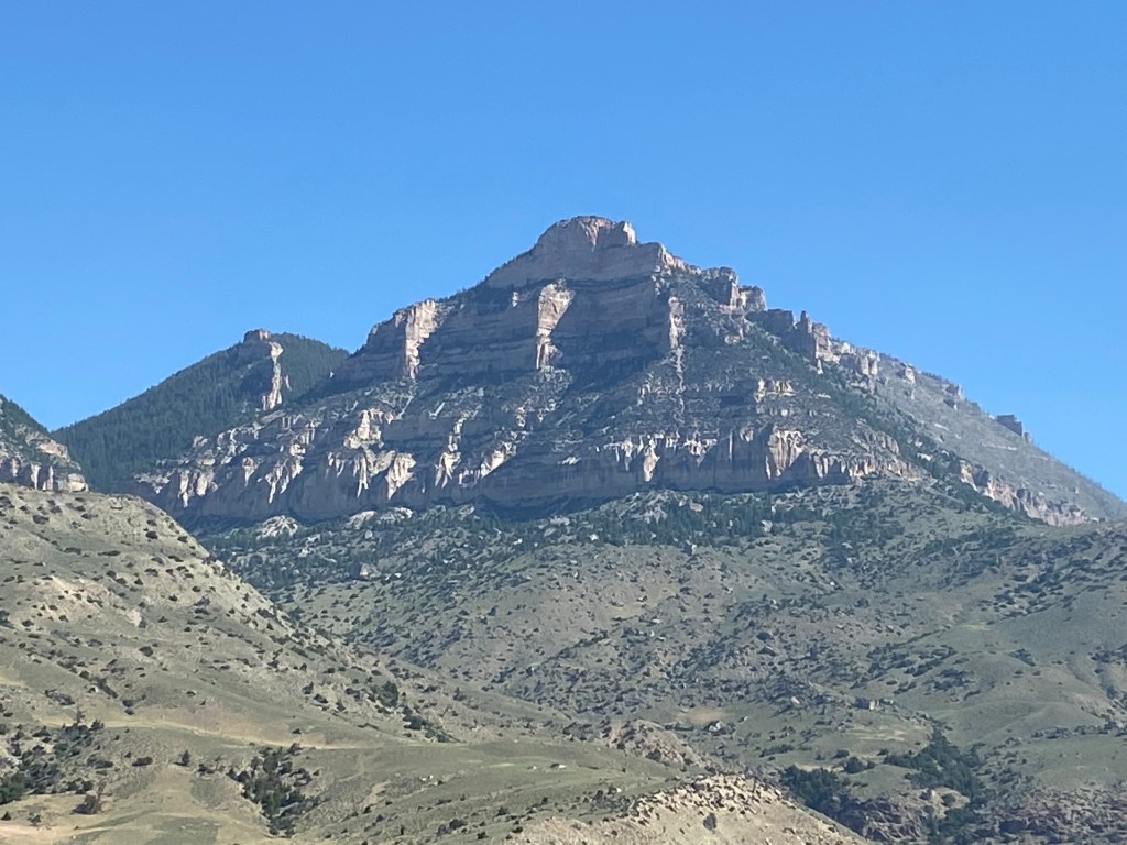
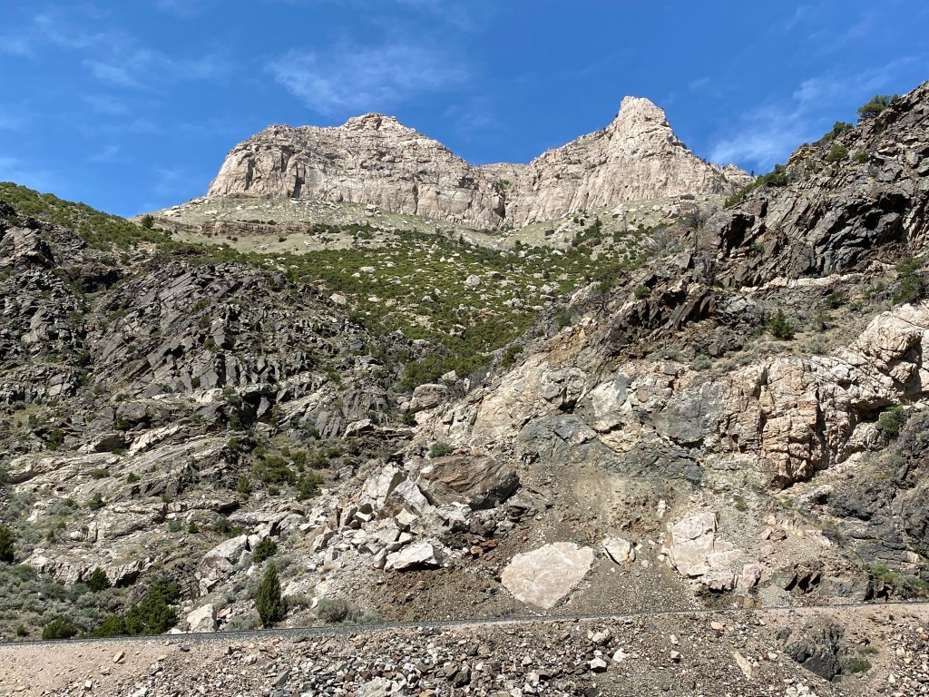
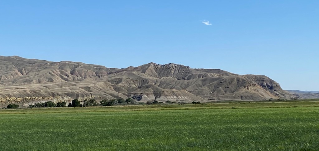
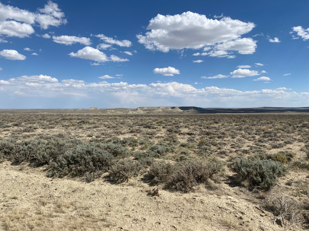
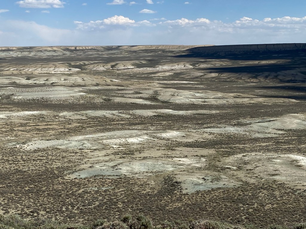
Wikipedia describes the Red Desert as “a high altitude desert and sagebrush steppe comprising approximately 9,300 square miles”. This would make it roughly equal in size to all of Fremont County, which I have previously indicated is about the size of the state of Vermont. The Nature Conservancy calls the Red Desert “One of the last great high-elevation deserts left in the United States”. My road atlas indicates that the area we would be in is part of the Rocky Mountains, though as you will see it is not mountainous in the sense that you visualize the Rockies in Colorado.

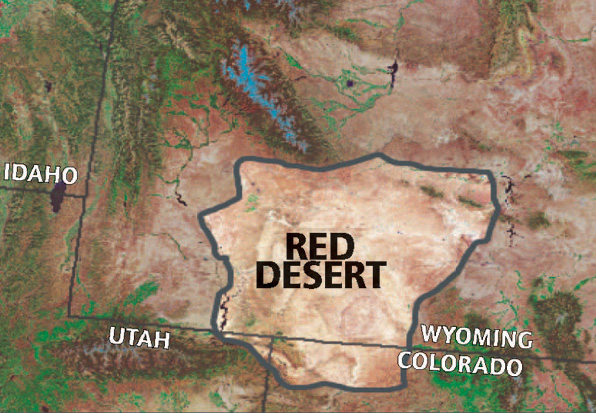
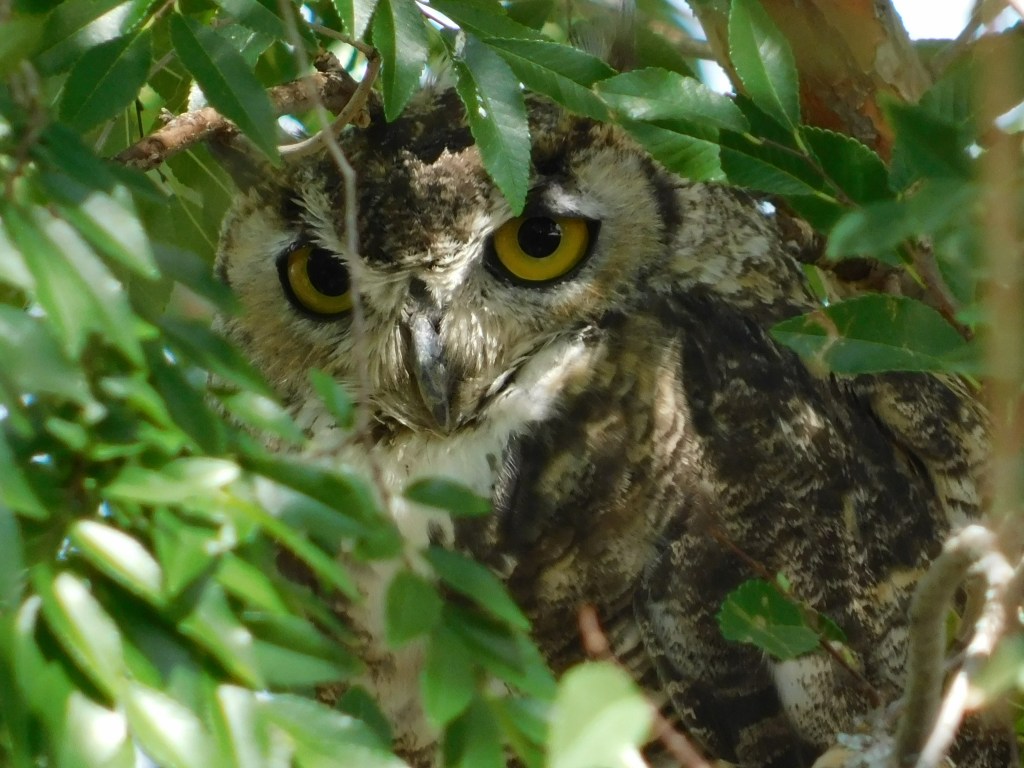
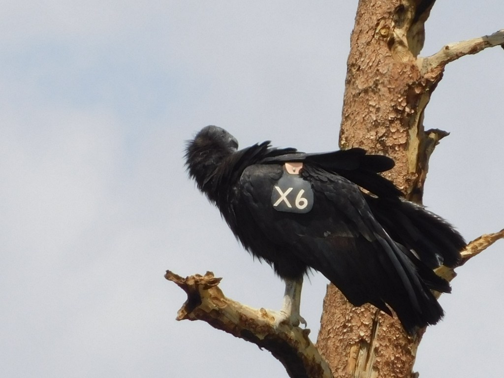
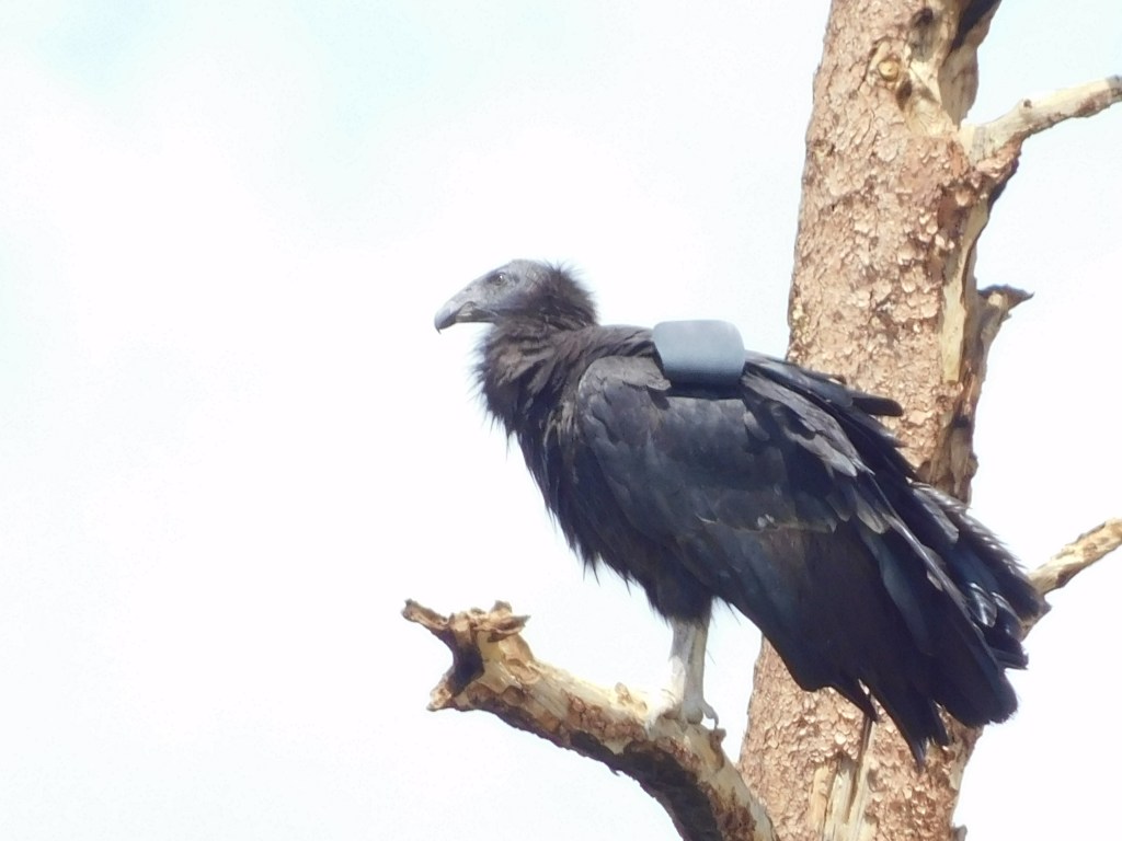
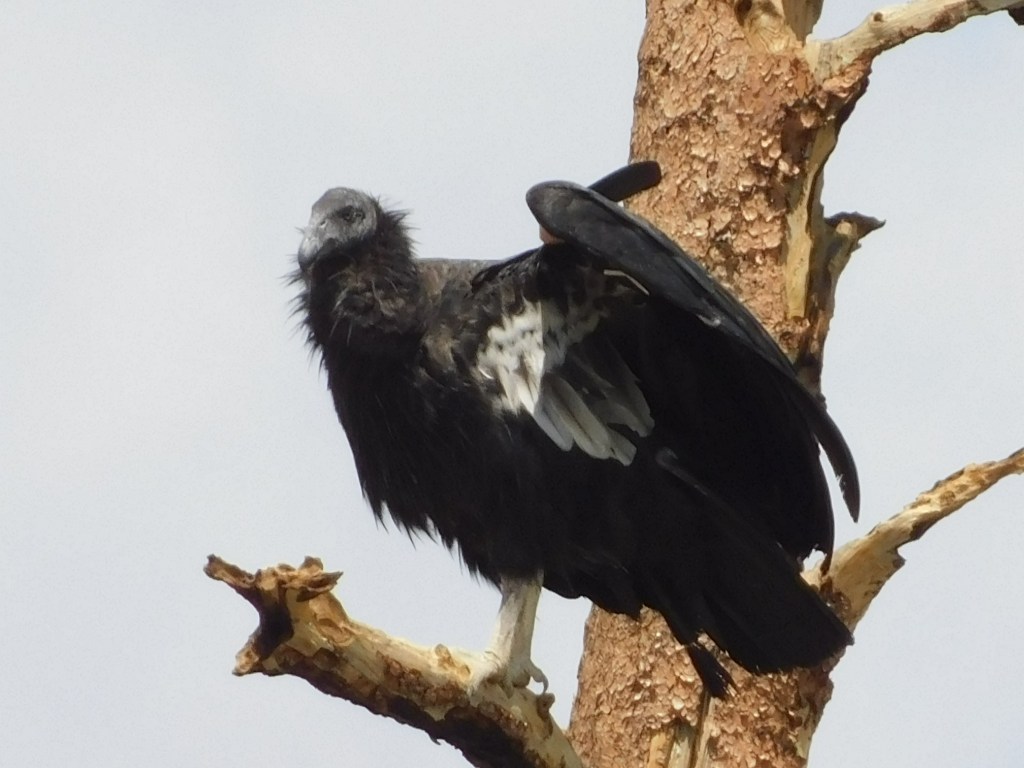
(Photo credit: High Country News hcn.org)

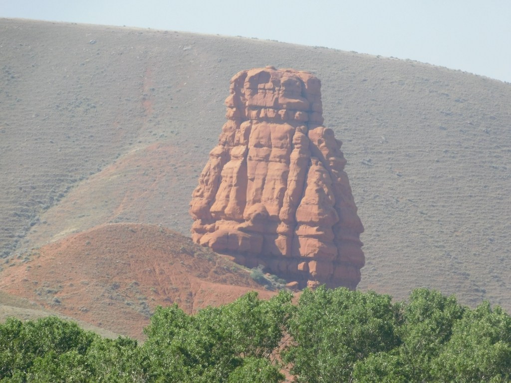
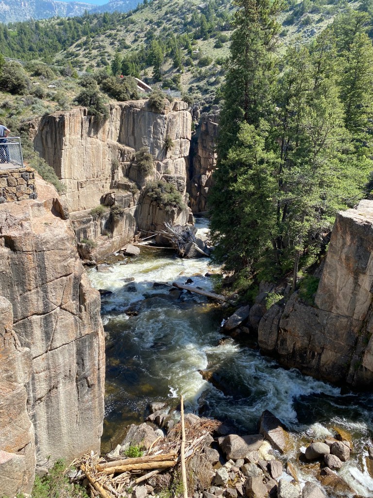
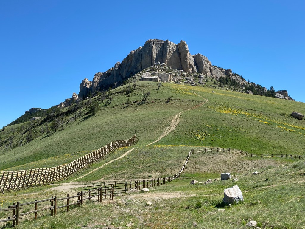
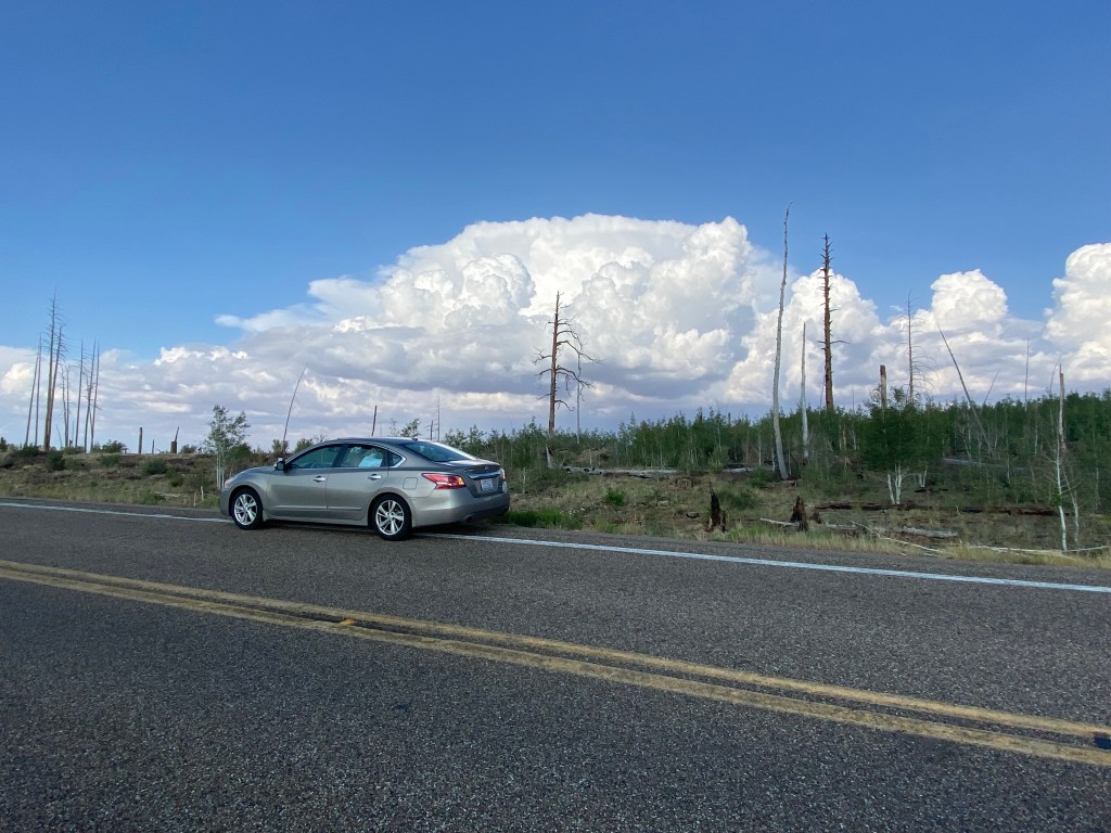
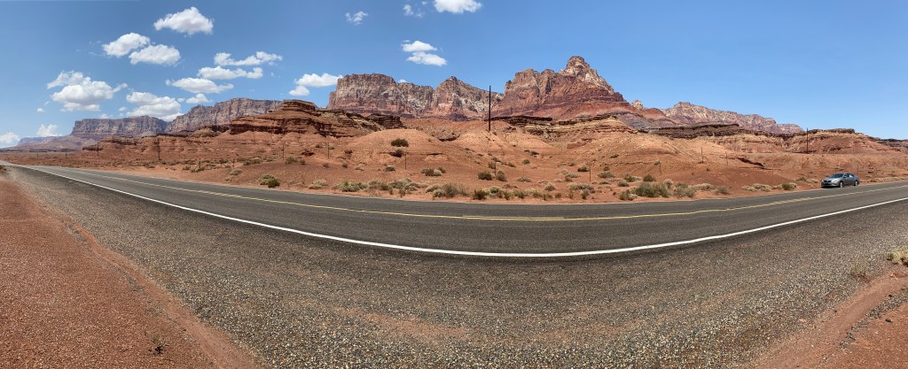
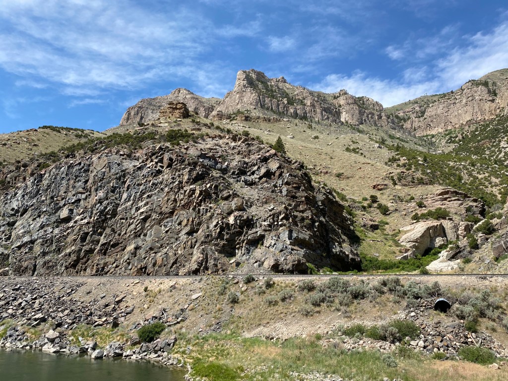
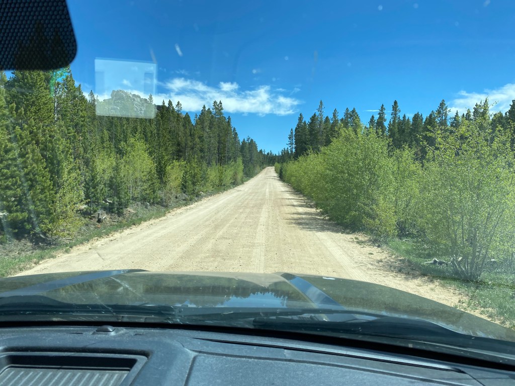
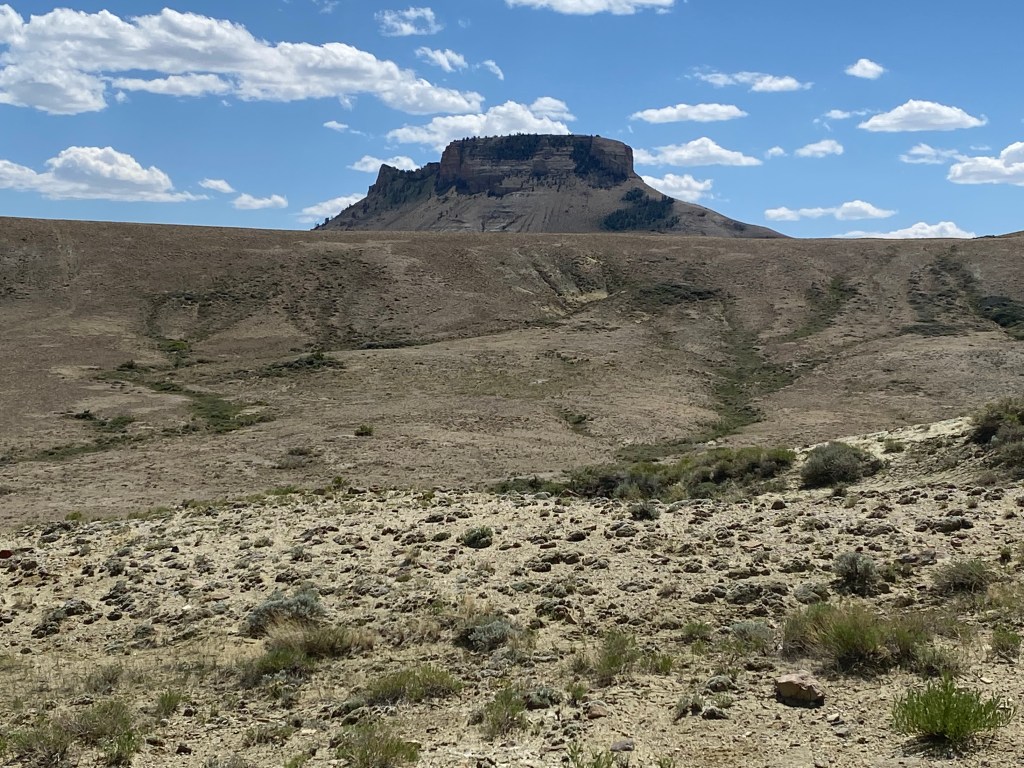
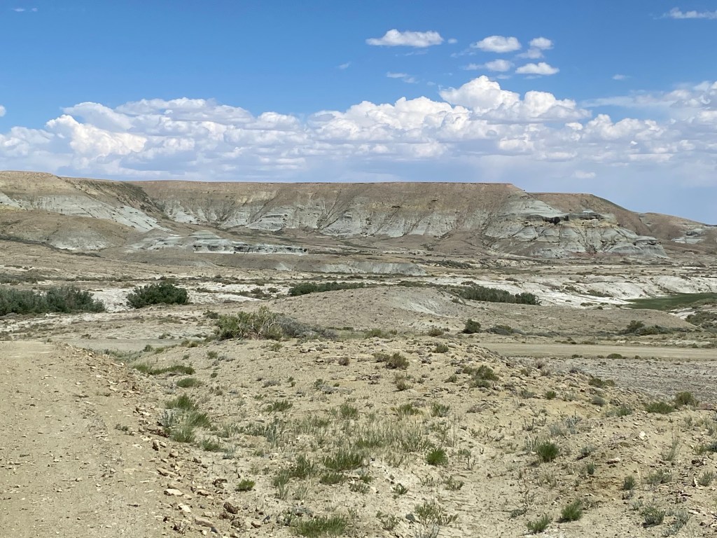
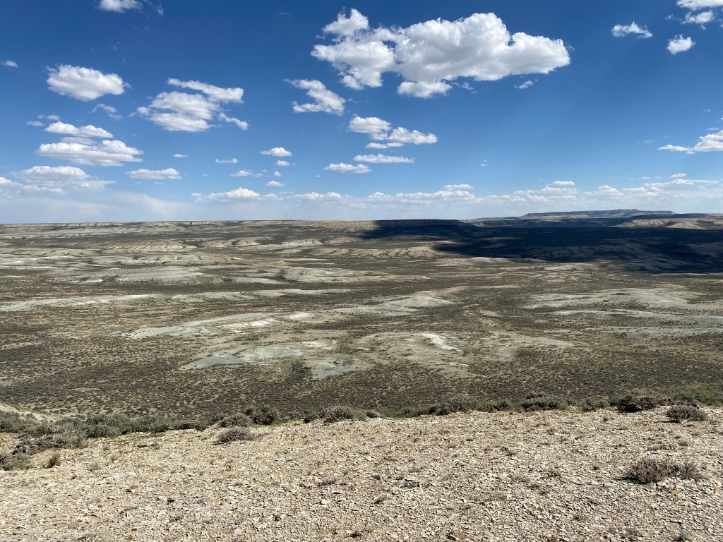
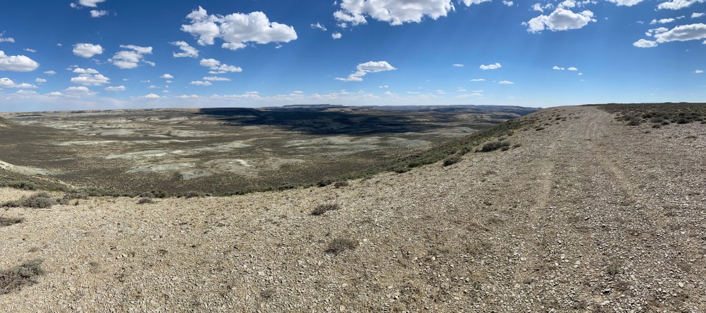
We had driven along two “rough” borders of the Red Desert when we drove down to Flaming Gorge National Recreation Area – southwest on Route 28 between Atlantic City and Farson, and Route 191 South from Farson to Rock Springs. We drove in on a rough gravel road, which quickly became dirt and rock, and were transported into a vast open area with… “not much”. There were some elevation changes and several buttes and other formations sticking up from the otherwise seemingly flat surface. It was hot, dry and isolated – just what you’d expect a desert to be. I checked my altitude app periodically and while I don’t recall the exact numbers it seems like we were always up pretty high – 6,500 or more feet.

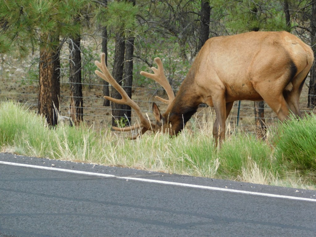
The map had indicated that we might see a wide range of critters but I mainly saw cattle (and what they were doing way out here I have no idea), some pronghorn antelope, not a big surprise there, and some wild mustangs:

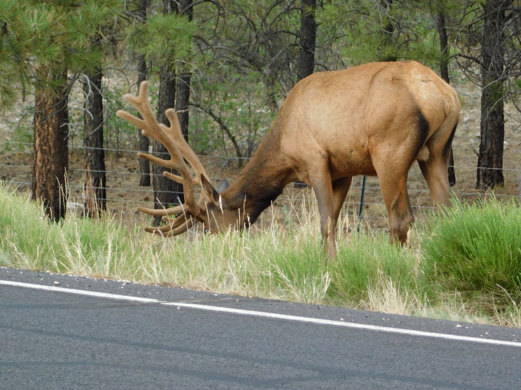
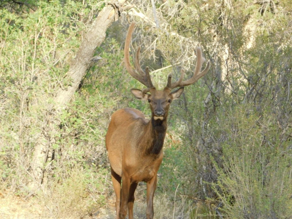
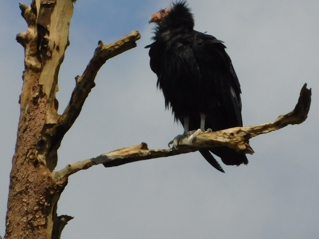
There were also a few small birds and at least one hawk. Depending on the time of year there may have been migrating elk and other herds of animals but basically that was all I saw.

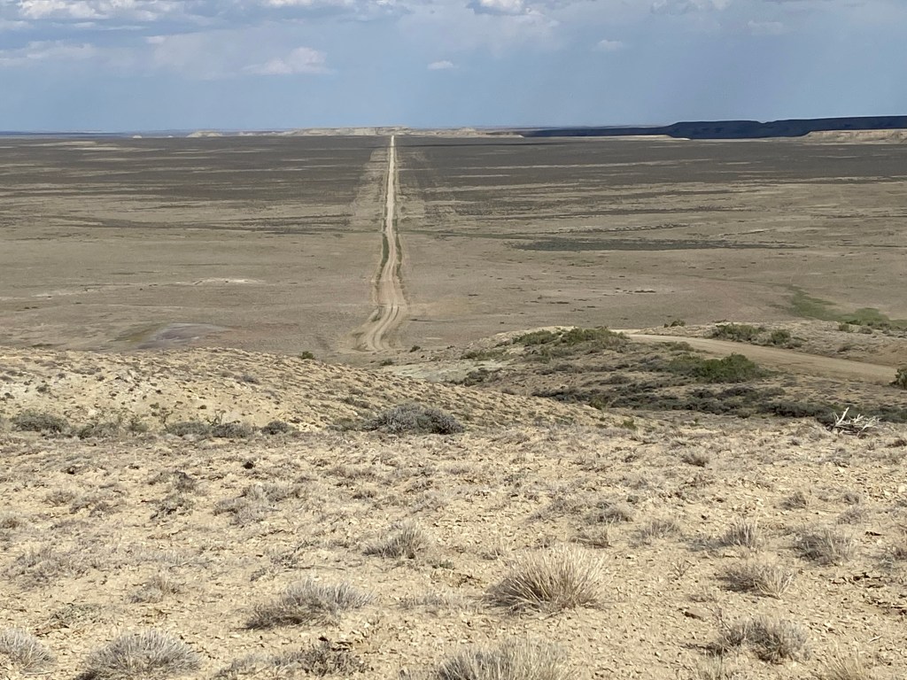
The map showed the road in a rough “W” shape and we drove in and out on one half of that (a “V”) and I believe my brother said that we covered 60 miles. There were some more picturesque things we could have seen but it would have involved a considerable amount of hiking which I wasn’t inclined to do – especially in the heat.

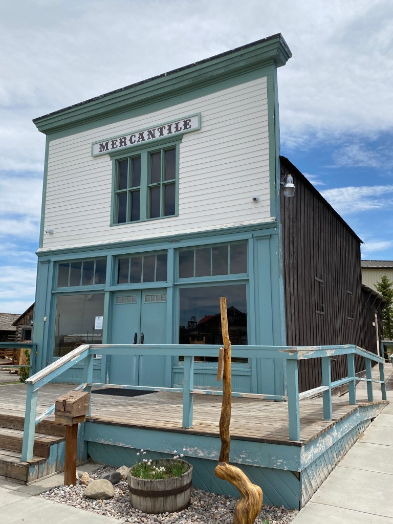
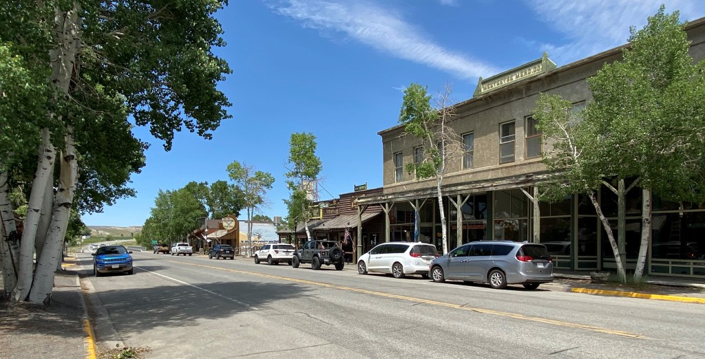
Nonetheless, it was very interesting, albeit remote, and I was glad we went. When I told some friends that my brother was taking me out into the Red Desert they all asked “is he bringing you back?” and I’m pleased to report that he did! In fact, once we got out to Route 28 we turned left and went back to the Mercantile in Farson for some more yummy ice cream.

One of the other interesting things about this area is that several well known trails cross it – the Oregon Trail, the Mormon Trail and the California Trail, among others. On the way home from Farson my brother stopped at a monument which identified the “Parting of the Ways,” where one main trail parted and a traveler could go one of several separate routes depending on their ultimate destination.

There are still tracks ground into the soil showing where the original wagon trains traveled.

Pioneer Village

After my overnight trip to Cody on Tuesday and my scenic drive home on Wednesday, Thursday I stuck close to home and visited the Pioneer Village on the north side of Lander. This is a collection of various buildings of historic significance which have been relocated from other parts of Lander, and other nearby towns and areas, to establish this very nice little “neighborhood” representing what life was like “back in the day”. There were two ladies, who are volunteers, in the “office” and were a wealth of knowledge, explaining the significance of many of the buildings and where around the area they had been located originally. There were also signs in front of each building explaining the history, and most of them were open so you could go inside and check them out.

This small church was originally located in Hudson, a small town between Lander and Riverton:

This cabin was where the first comprehensive history of the State of Wyoming was written back in 1899:

This is the “Stough House,” where Fremont County sheriff Charles Stough, who had the distinction of being the only law enforcement officer to actually arrest “Butch” Cassidy and put him on trial, lived.

This was the town Mercantile:

Just about every decent sized town had one – a variety store with a little bit of everything. These days we call that “Walmart”.

I didn’t post photos of all the buildings in the village, but in total it is a very nice collection which represents what a typical town in the American west was like.

This was where the local newspaper was originally located:

And this was the first building actually constructed to serve as a museum – built in 1909:

Bighorn Mountains

OK – enough distractions with animal photos. I need to get back to my trip timeline.

After my Tuesday night at the Cody Rodeo I headed east from where I had spent the night in Powell, WY and crossed the Bighorn Mountains – twice- once going east and later going west. I had mapped out some scenic roads I wanted to take and my Airbnb hostess in Powell suggested a minor variation to ensure that I would see the Shell waterfall, which was a very worthwhile diversion.

First, though, I drove through the little town of Lovell which had this electronic billboard counting down to their “Mustang Days” celebration:

Different towns call their heritage celebrations different things – Pioneer Days, Mustang Days, etc. and have parades, rodeos and community gatherings.

Outside of Lovell there was a rest stop adjacent to an airfield which had a museum and a collection of old wildfire-fighting aircraft. The museum wasn’t open and there were signs warning people not to trespass but I was able to walk to the fence and stick my camera through for some photos:

I continued driving east and could finally see the Bighorn mountains in the distance. They were large and impressive but seemed to be shrouded in smoke or smog, possibly from the two wildfires in Montana I had seen the previous day. Fortunately as I got closer and actually drove up in them the visibility improved so it wasn’t a big deal.

I started ascending the west side of the northern part of the Bighorn range. I have seen the mountains and river referred to as both Big Horn and Bighorn. Either is acceptable but I am sticking with what explorers Lewis & Clark wrote in their journals back in 1806- Bighorn.

Eventually I did come to Shell Falls:

There is the major fall (above) and then the water flows off to the side and goes down several more minor falls.

It is hard to capture the beauty of a waterfall with still photos as you need to see and hear the flowing water, and sometimes feel the mist on your face, to really appreciate it.

I continued driving along a lengthy plateau at the highest part of the mountain. This afforded some excellent views and some extremely pleasant temperatures after the 100+ degree day and warmer than average night in Cody the preceding night.

After descending from the mountain but before reaching the interstate highway in Sheridan I stopped in the little town of Dayton, where I saw this character perched on his (or her) high-rise handlebar motorcycle – kinda sortof:

While in town I also this sign which I sent a photo of to my most recent employer, telling her that perhaps this should be her next endeavor:

I continued on to Sheridan and Interstate 25 which took me south to the town of Buffalo WY. I exited there and headed west on scenic Route 16 which would take me over the Bighorn mountains again. These were about a thousand feet higher in elevation and that was evidently enough of a difference to allow them to have snow atop them, which I had not seen on the mountains further north. Once again, the altitude brought cooler temperatures and even more wildflowers.

After descending off the mountain I arrived in Worland, then turned south through Thermopolis and Riverton to get back to Lander. A very pleasant and relaxing day!

JohnBoy’s Wildlife Menagerie

People tend to comment on my animal photos so here is a variety pack of critters I have seen in the recent past:

As I was leaving the South Rim of the Grand Canyon one day last week there were four bull elk blissfully grazing on both sides of the highway. This was out on the main highway, not far from the south entrance.

This one thought it was hiding but I thought “I can still see you…..”

And this one was a little younger than the other three and was off by himself:

Pikas and condors and elk…. Oh my!

I saw this yellow-bellied marmot while I was on my pika hunt up at Cedar Breaks National Monument in Utah:

This one is cheating a little bit – a hummingbird in the Hummingbird Aviary at the Arizona-Sonora Desert Museum, not far from where I am staying in Tucson. These were taken earlier today:

I tried getting photos of some of the other hummingbirds but my digital camera tends to focus of the leaves in the tree, not on the hummingbird I have centered in the frame. I have tinkered with other camera settings and can’t get it to work properly – very frustrating!

This is an unknown bird in another aviary at the museum. I looked on the “photo tiles” outside the building to try and determine what it is but it wasn’t included. Maybe it is a foreigner that snuck in with a customer…

This one was a little closer to home – literally. When I got back to my Airbnb this afternoon my hostess drew my attention to this owl in a tree about 50 feet from the back door leading out onto her back porch.

And while I was at the North Rim of the Grand Canyon last week I made another attempt (and spent an inordinate amount of time) searching for a Kaibab Squirrel, which has a white tail. They are only found in the Kaibab National Forest and I tried unsuccessfully to get photos of one when I was there four years ago. I didn’t have any better luck this trip, though a large wildfire last year in the northern part of the Forest may have scared them off. The rangers in the Grand Canyon weren’t very helpful in suggesting spots to find them, though they commented that they haven’t seen very many of them either. Or maybe the condors got ’em all.

I’ve only noticed one roadrunner so far, which ran across the road well in front of my car as I was leaving Casa Grande the other day. I am hoping I will see more while I am here in Arizona and when I head over to New Mexico next week. I’ll probably just have to park next to the road out in the desert and wait for some to come along. They are cute little birds.

Y0 Update

I sent an e-mail to the Peregrine organization which maintains the condor registry. I got a response early Monday morning advising me that Y0 was born on March 11, 2019 in Oregon (presumably at the Portland Zoo, like one of the others I had seen last week). There was no release date provided so I don’t know how long it has been “out and about”. There is another release of “new” condors scheduled for late September at Vermilion Cliffs and it can be viewed online. Check the Peregrine Fund website for details.

Yo! (California Condors – Redux)

My last post showed photos of two California Condors I saw perched in a tree on my way in to the North Rim of the Grand Canyon on Thursday. The place where I saw them is about 11 miles south of Jacob Lake, AZ – at the beginning of a large area which was devastated by a wildfire in 2006. While there is new growth taking hold, most of what remains in this area are large tree trunks with random limbs (and many with no limbs, just the tall, vertical trunk).

This is a photo showing that the tree where I saw the 2 condors on Thursday was only about 100 feet off the road (it is the tree above the back of my car, in the center of the photo):

Friday morning I returned to the same spot and saw another condor in a different tree, further away from the road (maybe 200 or 250 feet). Although at the time I was there the sun was rising behind where the condor was perched I was able to get some photos showing the identification tag – Y0, which I am sure is meant to be Y-Zero. That tag is not on the list which I found on the peregrinefund.org website and I have sent that organization details of my sighting and inquired why it isn’t included.

I am unofficially calling this condor “Yo”

Upon doing some further research I learned that after these condors are raised in captivity (in various places) they are generally released at the Vermilion Cliffs National Monument, located between Jacob Lake and Marble Canyon, east of the North Rim entrance and not all that far – as the condor flies….

Vermilion Cliffs is evidently where these newly liberated condors have their nests. They seem to like this burned out area to hunt for food, probably because they can perch up high and have a good view of the relatively barren surrounding area.

Saturday morning I returned to this spot once again before leaving the area to drive down to Phoenix. Sure enough, there was another lone condor perched in a tree. I arrived closer to actual sunrise so the sun was even lower and I had to move around a good bit to try and get photos. I couldn’t tell at the time but now that I have looked at the photos I took it’s tag number is V4, it is a female, hatched 5/13/17 at the Portland Zoo and released into the wild on 3/31/20.

She pretty much just sat there the whole time, and I had a long drive ahead of me so I left. Now that I know it is where they nest I paid closer attention as I drove past the Vermilion Cliffs National Monument, a many miles long wall of tall red cliffs, but they are pretty far off the road and there really wasn’t anything to see, bird-wise.

A fellow spectator at the first sighting on Thursday told me that another spot where I might find some condors is the Marble Canyon pedestrian bridge, located parallel to the main (traffic) Navajo bridge at Marble Canyon. I parked there briefly as I drove through the area to get down to Phoenix but didn’t see any condors.

California Condors!!

This is a rare real-time (happened today) post!

As I was driving towards the Grand Canyon North Rim entrance this afternoon I drove through an area that had been burned out in a wildfire in 2006. As I rounded a curve I saw 6 huge black things in the skeletal remains of a tree. At first I thought they might be nests of some kind. As I got a little closer I realized they were birds, and then I saw some vehicles pulled off to the side of the road and a small number of people standing around so I knew it must be something worthwhile.

It turns out they were (relatively rare) California Condors. Their numbers had dwindled down to only a few dozen but efforts have been made to breed them in captivity for release into the wild and there are now several hundred. I thought I had seen one way up in the air in this same area back in 2017 (search “Condor” on the blog homepage, then look for the post titled “Final Day…” posted on 9/14/17). By the time I turned the car around and could find a safe place to get it completely off the road without starting a wildfire in the dry vegetation next to the road, four of them had flown off (there was a woman out in the brush walking slowly towards the tree and that evidently scared most of them off). I saw the last one of the four take off and it was enormous.

Here are the two that were left:

This is the one on the higher branch:

The way I know they are condors is that that have a wing tag which identifies them:

According to the peregrinefund.org website, A9 is an adult male, hatched 5/22/04 at the Birds of Prey Sanctuary in Boise, Idaho. It was released into the wild on 3/1/05 and is one of about 80 which are believed to stay in the Arizona/Utah area, with about 160 more in California and 30 in Baja, Mexico. I’ve seen different numbers on different sites so the current numbers may be higher than that.

According to one of the other observers, one way to tell that it is an adult by sight is that it had a reddish head. The one on the lower branch is just a young tyke – hatched 4/22/18 and released by the same organization on 9/28/19. It is a female, the area around her head is still black (ah, youth…), and her tag number is X6:

From what I have read online an adult condor has a wingspan of between 8 1/2 and 9 1/2 feet, compared with a turkey vulture at 5 feet or a golden eagle at 6 feet. Here is a condor/human picture I found online:

(Photo credit: NPS.gov, photo by Arianna Punzalan)

I was hoping the birds might still be there when I left the Park but they were gone. I will keep a sharp eye out as I go in and out of the Park tomorrow, and may even try again Saturday when I leave Fredonia AZ to drive down to my next stop, south of Phoenix. One of the other people who stopped to look says he sees them here frequently and also gave me the name of another spot nearby where they are often spotted. Depending on the weather tomorrow I may try that location as well. There was more rain here today, though it didn’t affect my brief time in the Park. I will get an early start tomorrow and am staying much closer to the Park. Generally the storms seem to develop in the early to mid-afternoon so I should have lots of opportunities.

My night at the Cody Rodeo

Four years ago, as I traveled through Yellowstone National Park and the surrounding area in northwest Wyoming, I passed through the town of Cody, which is east of the southeast entrance to the Park. Cody bills itself as the “Rodeo Capital of the World” and I decided that day that this was where I wanted to see my first rodeo. I had planned to have a shirt made proclaiming “This IS my first rodeo!” but as with many of my plans it never came to fruition.

During the summer Cody hosts a rodeo every night of the week. As I drive around the western states I see many small towns which have rodeo arenas and host them sporadically, especially on the 4th of July. Lander was going to have one then, too, but I was going to be gone by then. So I booked an Airbnb for the night in a nearby town and headed up to Cody.

The arena itself is a little smaller than a football field. There were two big grandstands on opposite sides and a smaller one in one “corner” (to the extent that ovals have corners). My guess was that there were about 200 people in each of the two main grandstands.

This is a family activity and there were lots of children of various ages. About midway through the event they called all the kids down on to the arena surface for a contest. The crowd loved it. Overall I would say it was a night of wholesome family entertainment. I wish I had walked through the parking lot before it started to see how many state license plates were represented. I know I saw several without taking a formal survey.

I have mixed feelings about the treatment of the animals but from what I read online many of the horses and bulls are bred and trained to “buck” and the apparatus which is used to “aggravate” them isn’t as terrible as I first thought. Rodeos have been around for a very long time and are part of the cowboy culture.

The event lasted a little over two hours, and I stayed for the whole thing. There were a variety of events and there was only one rider who appeared to have been injured, though he ultimately walked off under his own power. For a while, though, you could tell he was in pain.

There was an “emcee” on horseback, in the arena, who kept the audience informed about what was going on and where the riders were from.

I didn’t buy a program but it sounded like some of the participants traveled a considerable distance to compete. I’m sure competing at Cody is a dream for many riders.

At the beginning of the event there were people who rode around carrying flags of the many event sponsors. There was also a prayer, and a young lady rode around with the American flag while the national anthem was played.

And of course there were rodeo clowns, who distract the agitated animals from the people and other animals in the arena until they are “escorted off”.

The guy in the black shirt is blocking the view of the second “clown”. I thought I had taken another shot but evidently I was mistaken.

There were always several people on horseback to “chase” animals out of the arena after their “event” was over. Some went willingly, others had to be chased around a bit. There were also people on foot in the arena, to open the “chute” gate and pick up any debris which came loose (like the rider’s hat), and sometimes they had to scramble up the fence around the arena if the agitated animal came their way.

Enough talk – let’s see some action. Since the event started while the sun was still up I tried getting action shots with my digital camera. Later I switched to taking video clips with my smartphone but I don’t think I can post them on the blog. My nephew Sam tells me I can post them somewhere else (like YouTube, maybe) and then post a link but I haven’t had a chance to try that yet.

The rider was finally ejected and after he had a chance to catch his breath, walked off into the sunset…..

I believe the goal is to stay on for 8 seconds. My Android phone camera used to title each photo with the exact time (including seconds and fractions of seconds) when each photo was taken but my digital camera shows that all the photos in the sequence were taken at 8:14pm so I have no idea how long this rider stayed on. I can get a stopwatch to time the many video clips I shot with my iPhone but I can tell you right now, no one stayed on for very long all night.

There were various roping events, some barrel racing (where riders were timed navigating around strategically placed barrels) and cowboys riding bucking bulls instead of bucking broncos. Other than the period when kids were called down to compete in a contest and another period when the clowns played a little skit to amuse the kids in the crowd, there was something going on all the time.

It was an entertaining evening and I thoroughly enjoyed it. Later in my trip I went to a restaurant for dinner and they had “The Cowboy Channel” (who knew??) on TV, showing a rodeo from Reno, NV – which apparently pays big bucks. They had some awesome riders. And I believe there is a PBR Tour which is sometimes on one of the channels I get on Sling Blue (I’m not sure which one).

I will see if I can’t get some of my video clips to be available my links in a future post.

The road to Cody

Sunday I stayed in to make some more blog posts, organize and backup my photos and watch the NASCAR races from Charlotte in real time (which were on two hours earlier since I am in Mountain Time Zone). Monday I made some local scenic drives in the immediate Lander area and there was nothing remarkable to show (although they were very nice). Tuesday I headed up to Cody WY to attend the rodeo that night. It was my second “overnight” trip and I booked an Airbnb in the little town of Powell, about 30 miles east of Cody.

The drive up was scenic and pleasant. I drove through Wind River Canyon again (if you didn’t look at that post you should. WordPress shows me how many times a post has been viewed and that post, as well as the one of Thermopolis, haven’t had any viewers, although there are a few people who I believe look at everything I post). Here are some more photos from Wind River Canyon taken at a different time of day than the ones I posted previously:

I also spotted some folks rafting down the Wind River, which I learned flows south to north and not the other way around.

I continued north and eventually drove through the little town of Meeteetse, “Where Chiefs Meet”.

The bar’s motto is a takeoff on the town’s motto. In addition to establishments for adults I was pleased to see a facility geared towards underage individuals, giving them a much needed place to go on their own:

It wasn’t open when I was there but inside I could see pinball and other arcade games, a foosball table and other things kids could do for entertainment.

Down at the corner I found this bear, patiently waiting to have his picture taken with someone:

Bear spray not needed in this instance…

I finally arrived in Cody. I posted some photos of smoke from two wildfires I saw, which both turned out to be in nearby Montana, previously. I drove west of town to check out the rodeo grounds:

The rodeo didn’t start until 8pm and you will see lots more photos in subsequent posts.

Next I drove east to check in at my Airbnb since I knew I wouldn’t be getting there until late in the evening. These are some mountains I saw off to my right as I drove towards Powell:

I arrived at my Airbnb and while my hostess was showing me where my room was her young son came in and stood next to her. I said “Hi, I’m John” and he proudly held up four fingers and proclaimed “I’m four”! In subsequent interrogation I learned that he had just turned four in May, that he had created some of the chalk drawings I had seen on their driveway, and that his name is Brodie – which he carefully air-spelled: B-r-o-d-i-e. NOT Brody like Cody, but Brodie. I got their joint permission to show his handiwork on the blog:

This is Brodie on his bike:

This is Brodie running through the sprinkler:

This is an airplane (I figured that one out on my own):

And though he didn’t explain what this one was I’m thinking maybe dinosaur?

His mother had some drawings of her own but I’ll let Brodie keep the spotlight.

Next post – my night at the rodeo. Cowboy Up!!

Car Show & the “Loop Road”

After I returned to Lander from my excursion to Laramie, Cheyenne WY and Fort Collins CO, I took Friday off to do laundry and post my Laramie and Cheyenne photos. My brother and sister-in-law were away for the weekend but my brother suggested we take their truck and drive the “loop road,” a continuation of the road through Sinks Canyon State Park and the Shoshone National Forest which I had previously tackled on my own in two parts. The section which continued on past the “switchbacks” was now open all the way out to Highway 24 but was a little too rough to traverse in my Altima. My nephew, Sam, volunteered to drive and of course we took Ellie, my brother and sister-in-law’s corgi which Sam was taking care of in their absence.

Before we departed I had driven in to town and discovered that there was a car show being held in Lander in the bowling alley parking lot. I sent these photos of a 1968 Camaro to a co-worker back in Durham who loves Camaro’s:

The engine was clean enough that you could have eaten off it (I didn’t):

There were also old and new-model Dodge Challengers, a car I have always thought to be attractive:

As I was taking those photos a Wyoming State Trooper stopped his cruiser next to the parking lot and got out to take a look at the cars on display.

Before he got out I leaned in the window to ask the trooper if he was there to show off his “ride” and he said no, he was just interested in looking at what was on display. I heard another spectator tell him he couldn’t enter his vehicle in the show if he hadn’t modified it himself. Yet another person, the owner of the orange Challenger, playfully tapped her car and asked him if he wanted to race (a bold move, I must say!!). The trooper politely declined her offer and after he had driven off she admitted that she wouldn’t have taken him up on it anyway because his car was “supercharged”. If it hadn’t been though…………

Sam and Ellie arrived just as the show’s prizes had been awarded and it was starting to disband so we went back to the house to get the truck and headed up to the Loop Road. The trip itself was ok, but I was glad we had taken the truck.

The area was more heavily wooded that I was expecting so there wasn’t much to see, though we did stop at various lakes and reservoirs. I did take this photo of Sam and Ellie to send to Stephen and Jen to assure them that Ellie was in good hands, literally.