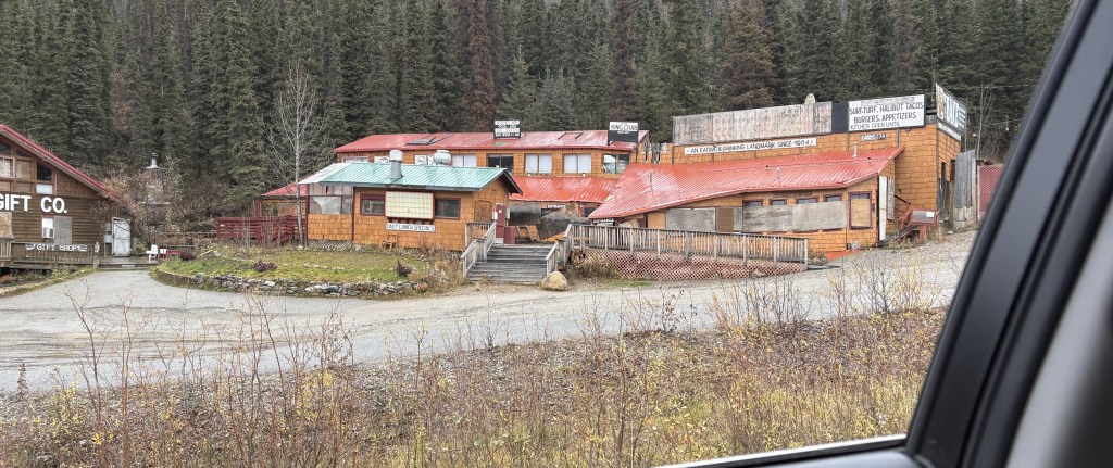
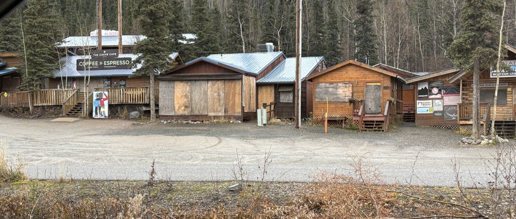
Strange name for a post. This installment focuses on a small “village” just north of the entrance to Denali National Park. I Googled several of the larger businesses in that “village” to try and find a name for it but there doesn’t seem to be one. If a business had a physical address listed it was a milepost reference.
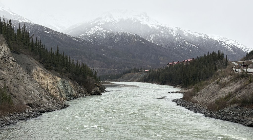
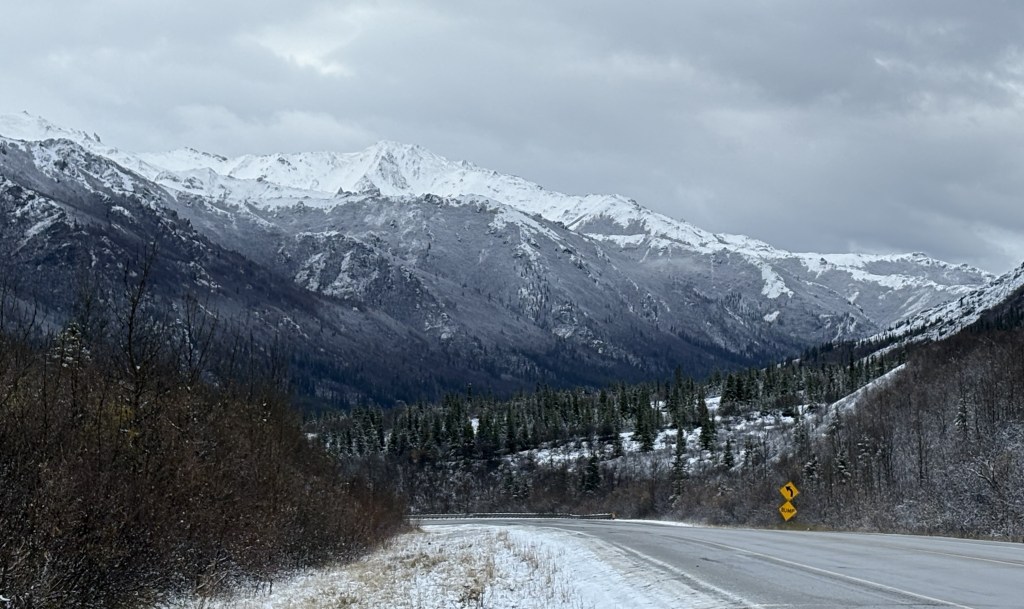
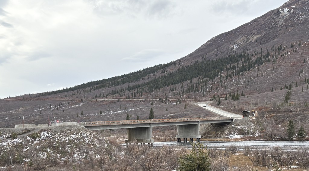
After leaving the Park and turning left on Hwy 3, I first crossed a river.
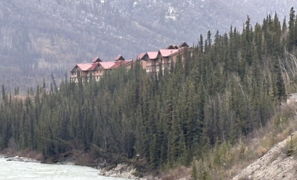
There was a parking area near the bridge and a walkway out over the water. In the distance I could see the back of one of the hotels in the village.
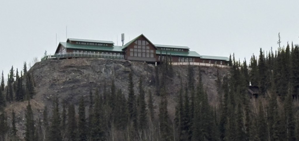
On the right side of the highway, high on a hill, was what looked like a restaurant which, on a clear day, probably has a terrific view.
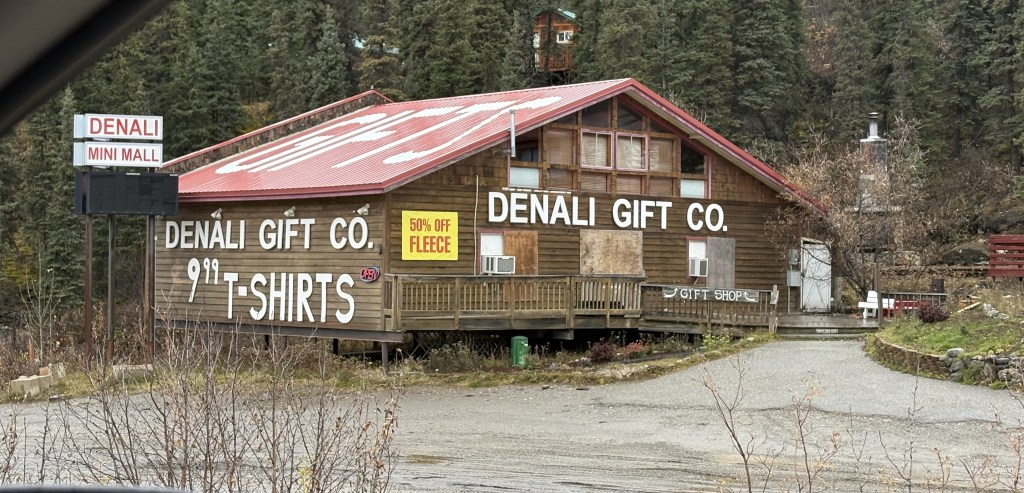
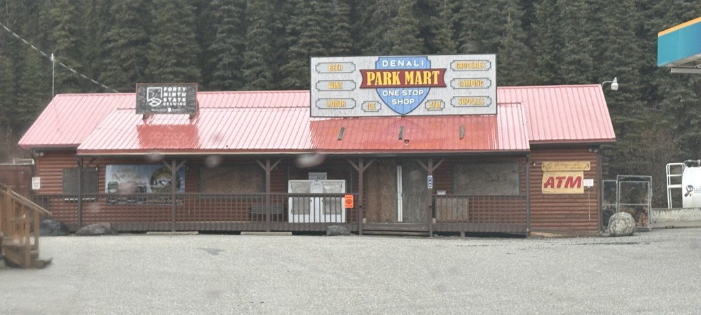
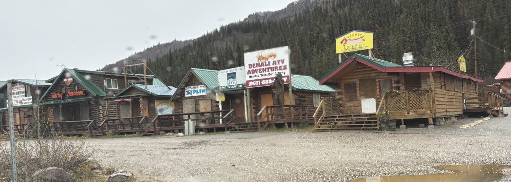
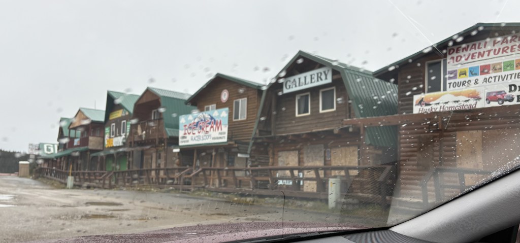
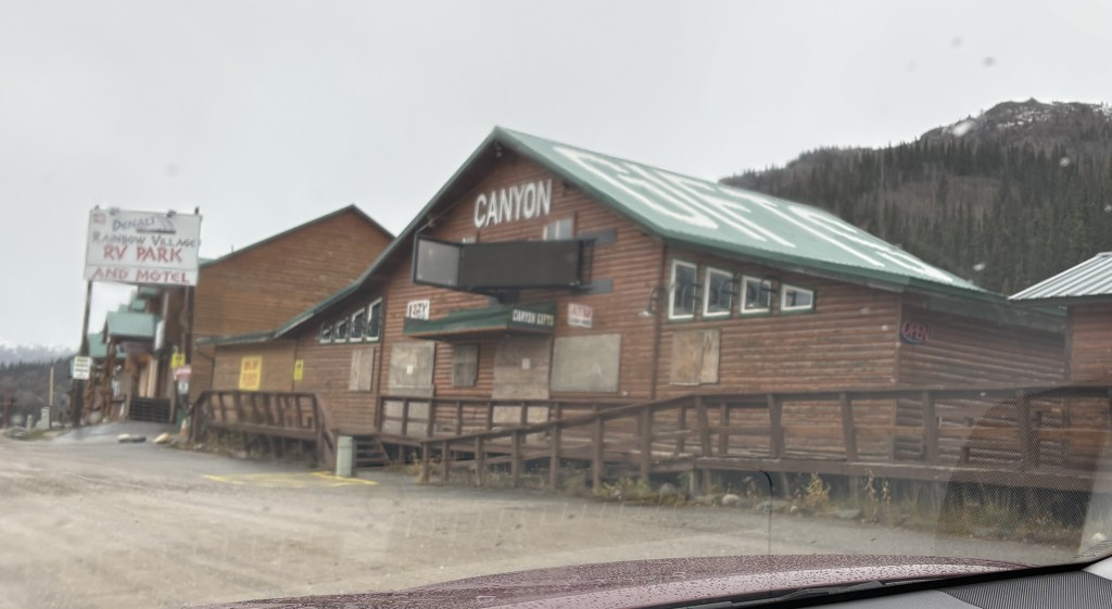
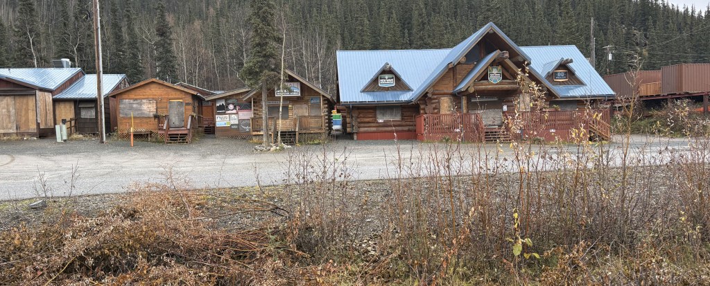
As I drove through the village I saw lots of boarded up businesses. Mostly small restaurants and lots of gift shops.
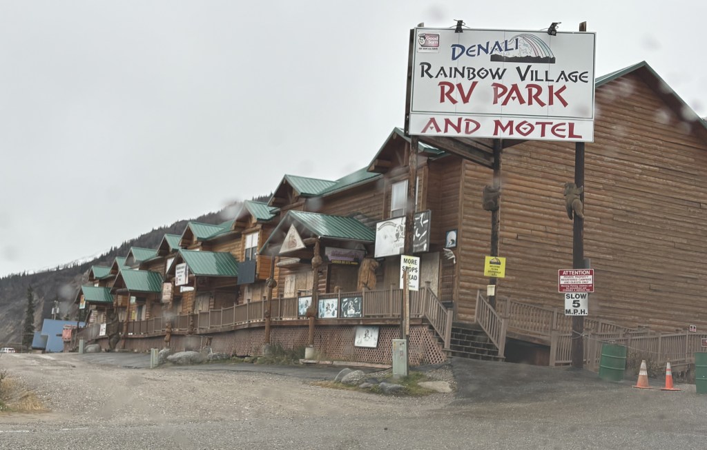
If you look closely at the photo above, you’ll see a Harley-Davidson motorcycle location! Undoubtedly the smallest one I have ever seen. I imagine Harley riders would stop in at times when the shop is open to snag a Denali Harley t-shirt.
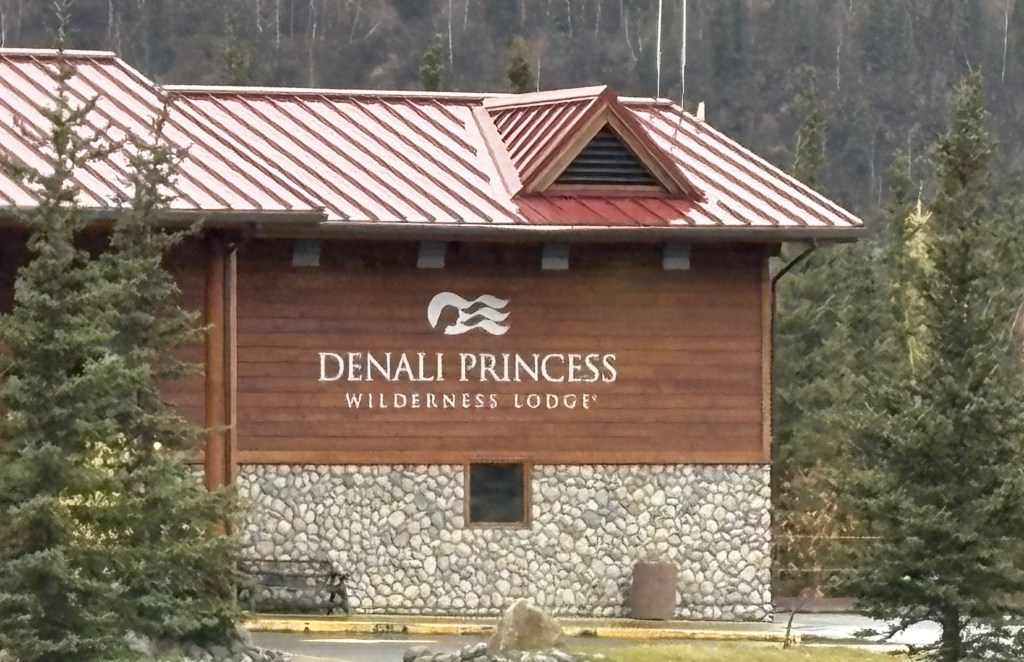
Above is one of two big hotels which have frontage on the highway. It is operated by a cruise ship line, and they bus people up here from a port downstate where the ship docks, and then bus the guests into the Park where they would board Park buses to travel deep into the Park. The Alaska Railroad also goes into the Park near the main Visitor Center and unloads passengers there. Denali National Park is a very busy place in the summer months.
By the way, the hotel shown above is apparently undergoing renovations over the winter, as there was lots of furniture, chairs and lamps piled up in front of the building.
Maybe the whole village is called Rainbow Village but no one else seems to use the name.
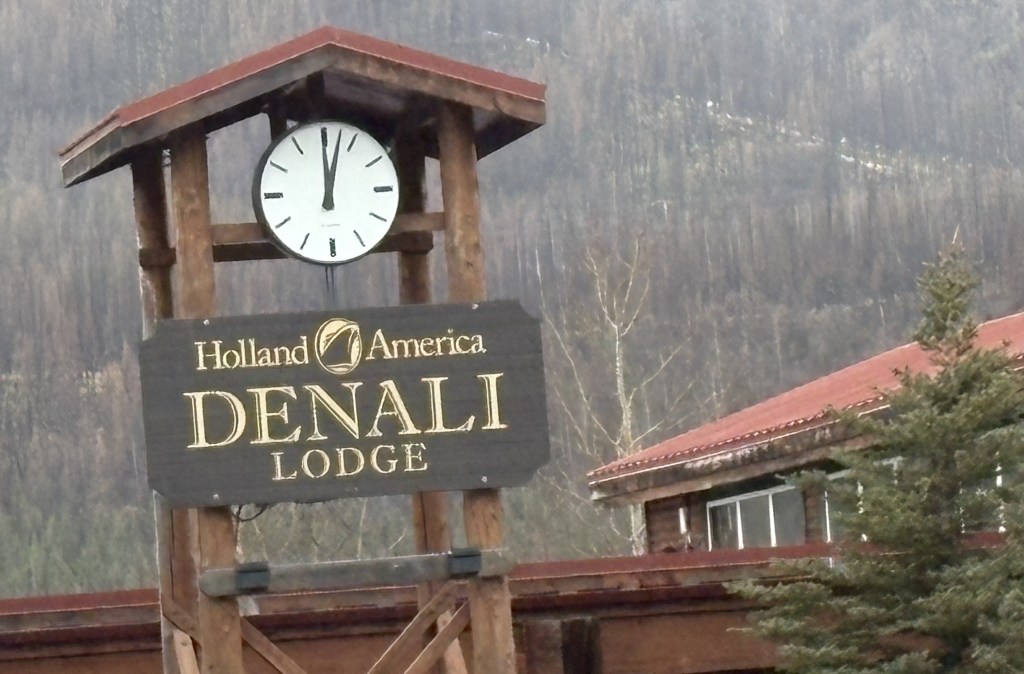
This is the other cruise ship related hotel. Sorry the image is a little crooked. Sometimes I just take a photo for my own reference. There may be other cruise ship lines which have lodging here but if so, they weren’t out by the main road, and I didn’t see them on Google maps.
By the way, the clock must be broken as the photo was taken at 540pm.
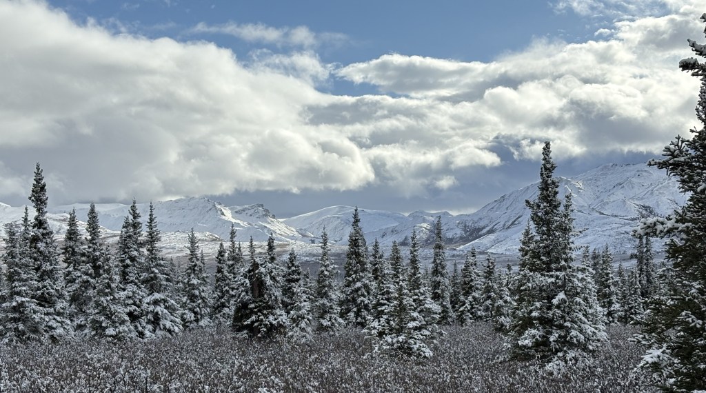
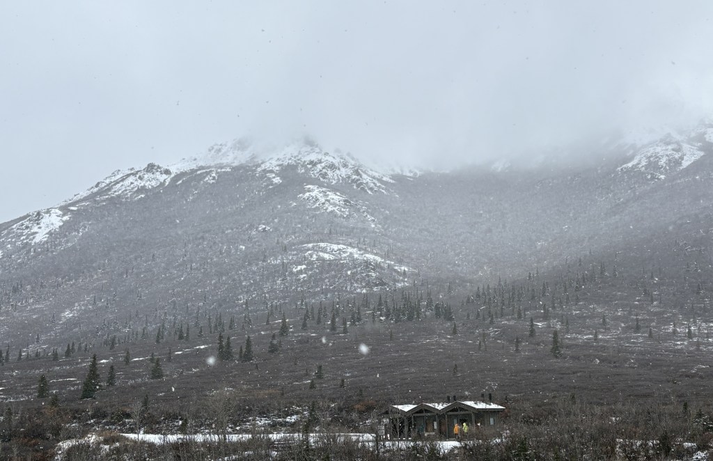
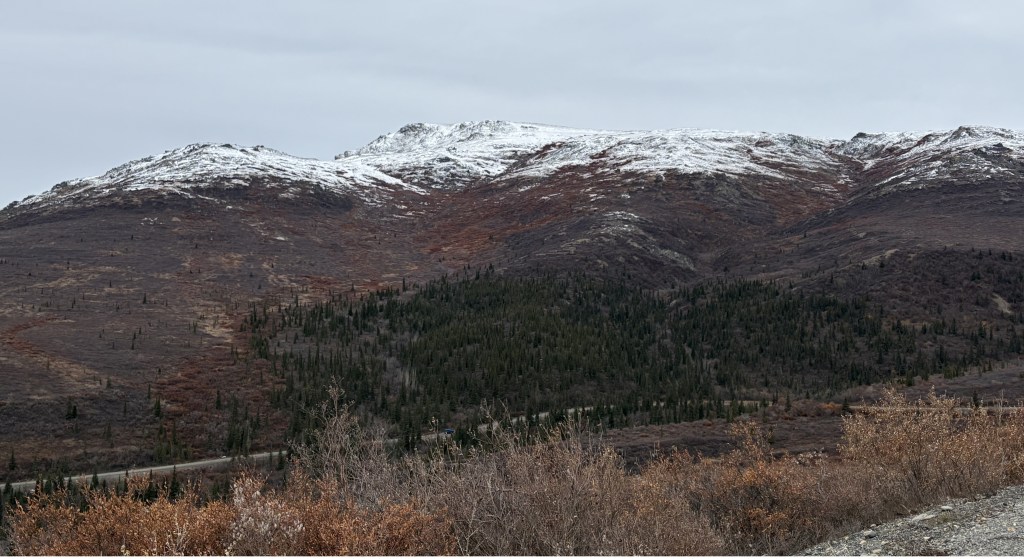
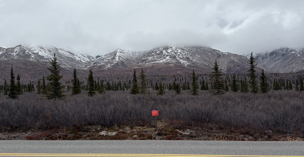
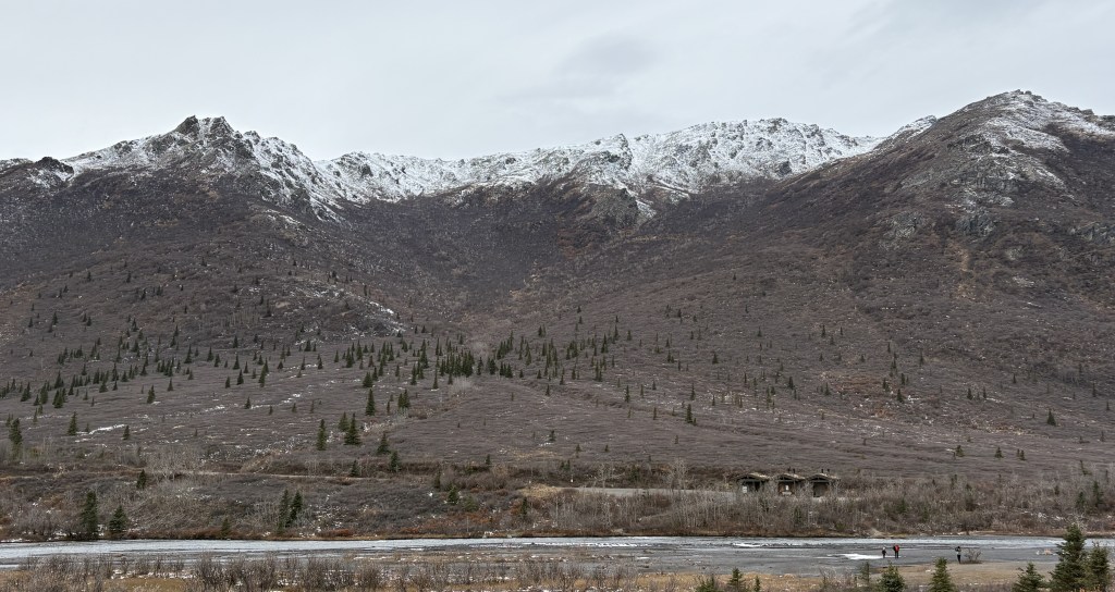
Overall, the weather today was better than it was yesterday, but there were still waves of dark clouds passing through the area. Once again, I could only travel on the first 15 miles of the road into the Park. I had already taken lots of photos of the various mountains and again focused much of my time looking for animals. I would either crawl along the road in my car or park and walk along the road, keeping my eyes peeled for animals.
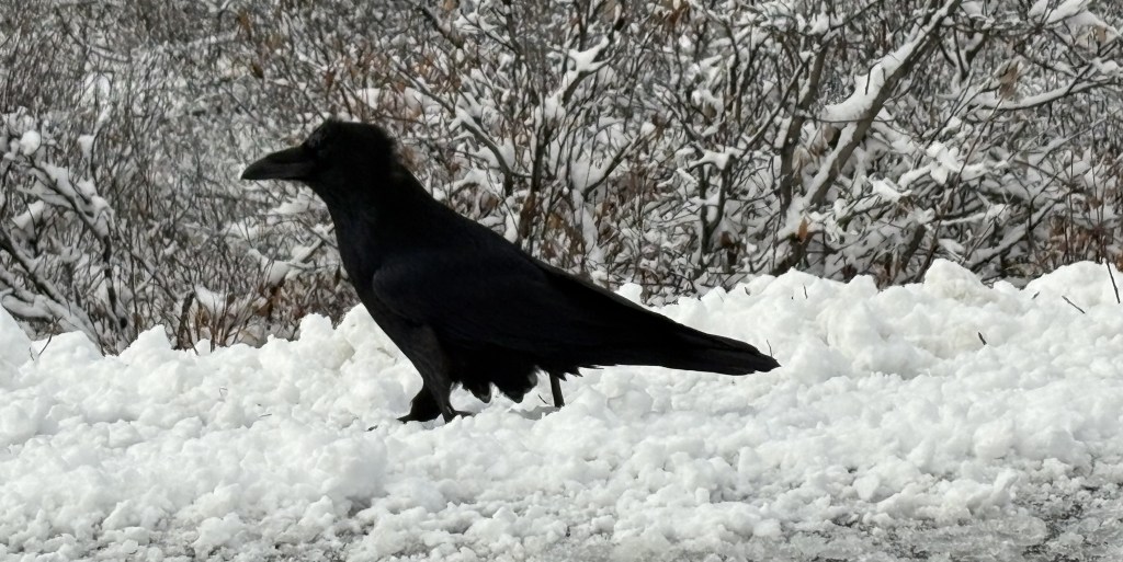
Here are more of the things I saw as I drove and walked up and down the road:
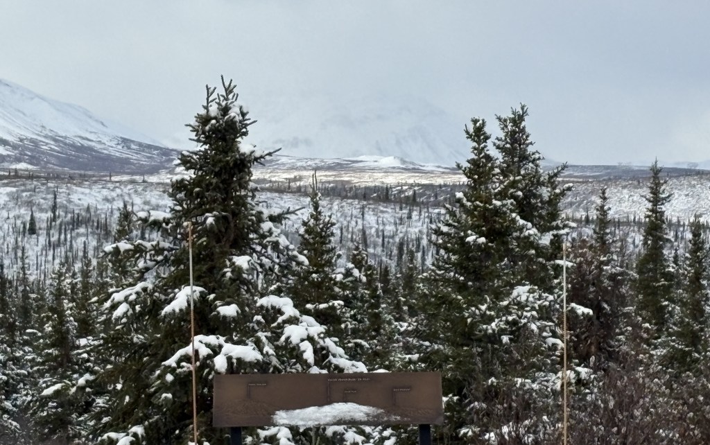
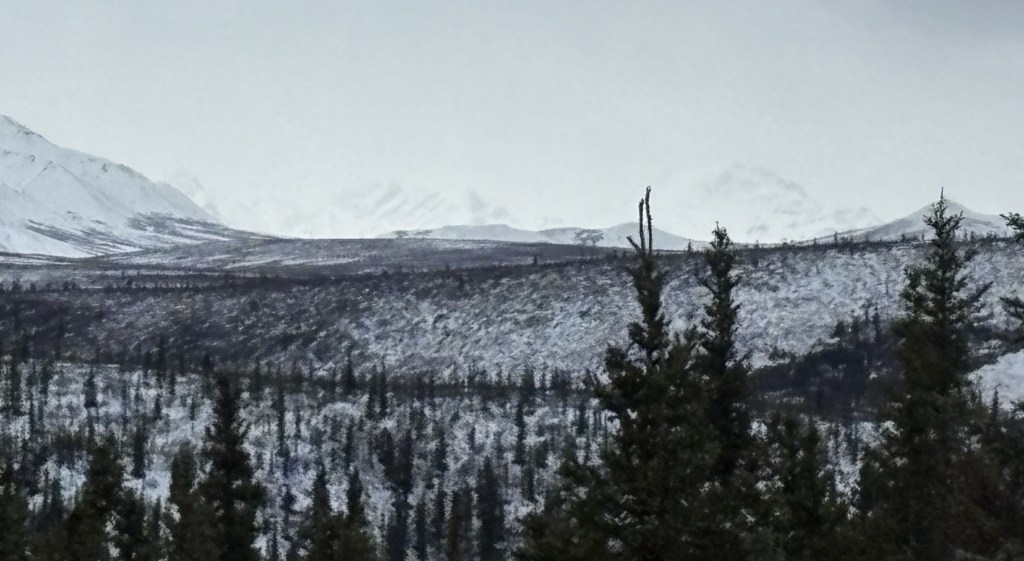
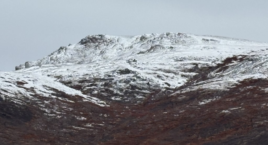
I returned to the place on the road where there was a plaque showing where to look to possibly see Mt. Denali. In the two photos above there is a faint image of a mountain in the distance but I honestly don’t think it is Mt. Denali. Even if it is, you can’t see it clearly so I really don’t think it matters. Given the general visibility and clouds moving through I doubt that it was visible. Having seen it two weeks ago it was pretty much fully covered with snow and there seems to be too many dark spots in these photos. There will be others later in this post.
There is a huge gap of time between the time I took the photo above and the next mountain picture I will post. I honestly don’t remember what I did during that time other than continue my search for animals. I know I spent a good bit of time at the high spot on the road just before the bridge, scanning various areas with binoculars.
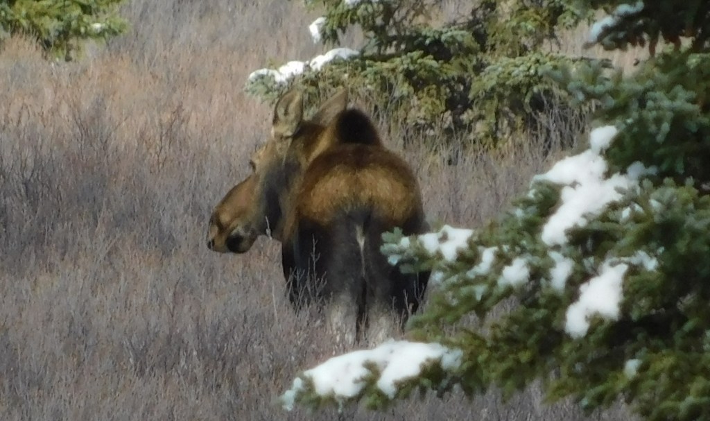
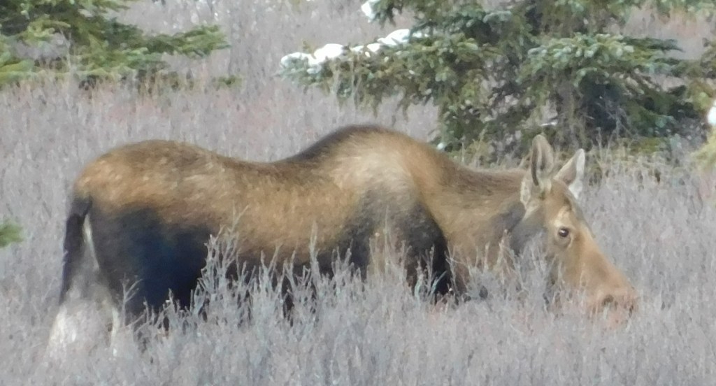
At one point I had driven towards the Visitor Center, turned around and was coming back in and there were several vehicles stopped by the road. That almost always means an animal sighting. Sure enough, other visitors pointed out a cow moose, probably two hundred feet off the road. I got my digital camera out and was able to zoom in and get these photos. She was in an area with pine trees and scrub brush, and didn’t move very much.
After two and a half days of searching I considered it a small victory, but a victory nonetheless.
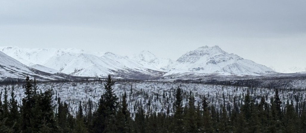
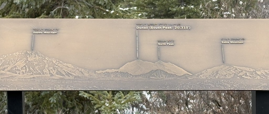
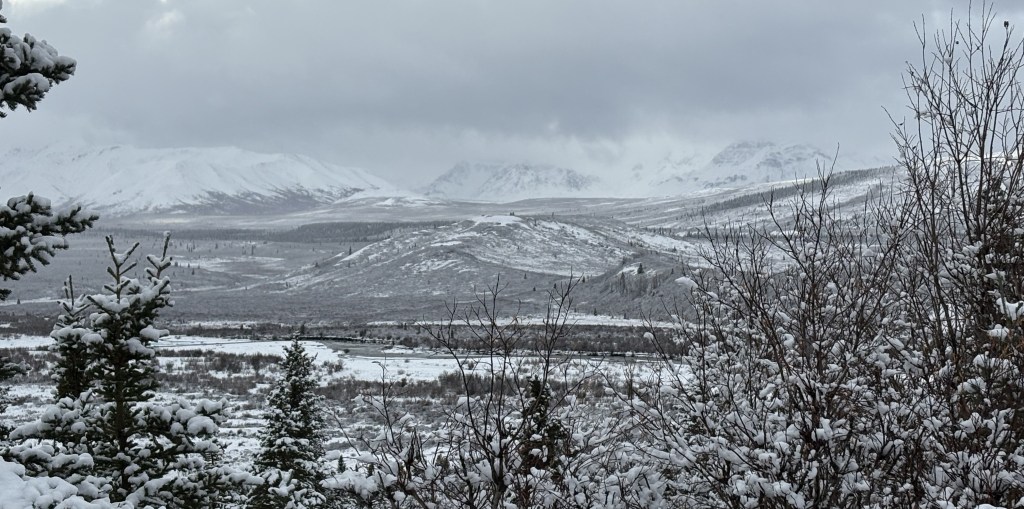
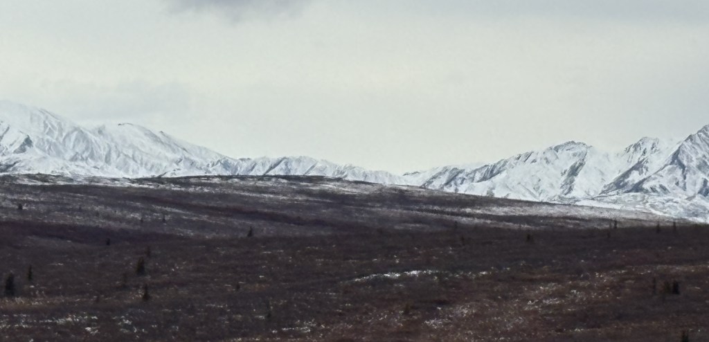
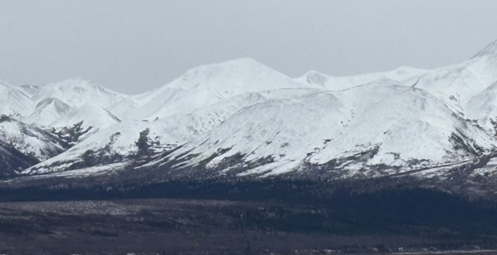
I believe the two mountains in the distance (above) are the lower “black” mountains shown on the sign. The distant mountain on the right is just below the words “North Peak” on the sign, and the one further left is the long mountain which goes over to where Double Mountain starts to rise.
This is Double Mountain…
… and Denali, if visible, would be about 2/3 as tall.
I have looked online and haven’t seen an image that was taken from that spot.
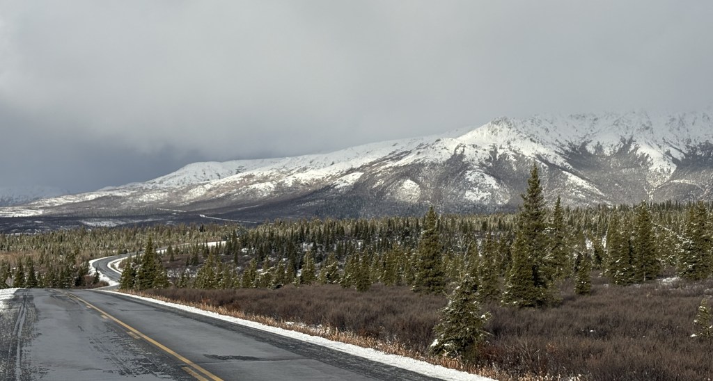
You can see that by late in the afternoon most, if not all, of the snow that had been plowed off next to the road had melted.
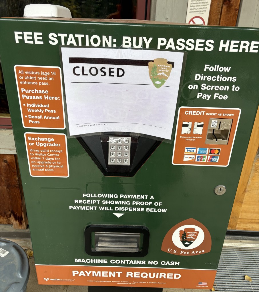
That’s pretty much it from inside the Park for the day. The next post will be of a small village out on the main highway just north of the Park entrance. As you will see, just about everything there was closed, and most of the shops were literally boarded up for the winter.
I will come back into the Park for part of the day tomorrow before leaving to drive up to Fairbanks. I can tell you now, there won’t be many photos.
When I awoke for my second full day in Denali National Park it didn’t appear to have snowed overnight but I was in the town of Healy, which is 20 miles north of the entrance. The temperature was still right around freezing and so I didn’t leave until about 845am. I stopped for coffee and food for breakfast and lunch and proceeded to the Park.
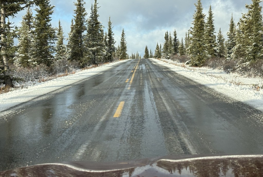
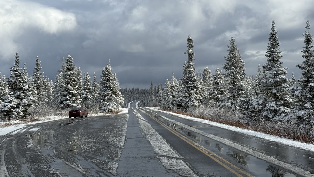
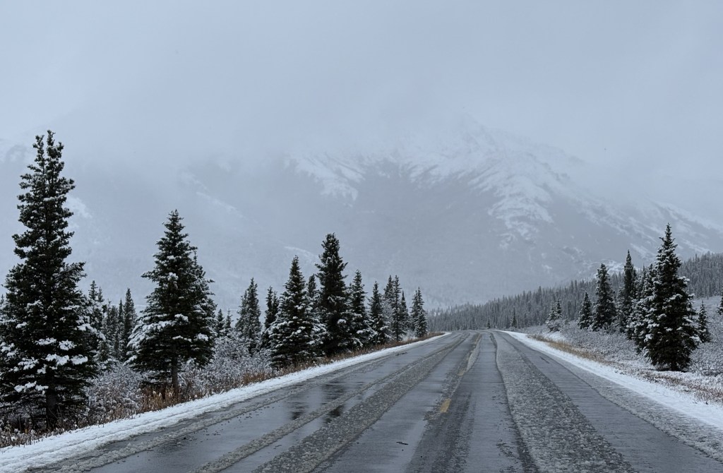
The highway getting to the Park was wet but not slippery.
When I arrived in the Park and climbed up the hill to get to the part of the road which had the best views, I discovered that it had snowed there and there was a little more accumulation than there had been yesterday. I did hit a slick spot as I rounded a curve while climbing the hill and slowed my pace a little bit.
Again today, there clearly had been some traffic, mostly going in, but I think it was construction workers who were able to go deeper into the Park.
The sun was out but there were dark clouds on the horizon.
I drove back down to the main Visitor Center parking lot to update family and a few friends via text messages. There is no cell signal once you venture away from the Visitor Center so I would always retreat to the parking lot to send or receive messages.
When I got back up to the main road I discovered that the maintenance crew had plowed the little bit of snow that had been there about 30 minutes before. In addition to a small staff of rangers (to make sure visitors behave, and help with any problems) evidently there was a skeleton maintenance staff on hand as well.
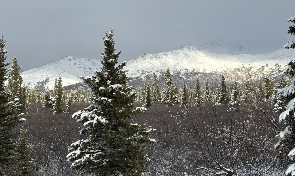
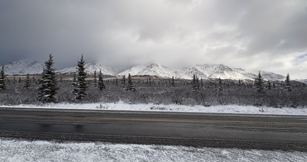
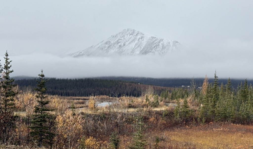
There were clouds moving much as they had the day before, but there were more periods when the sun was out so I was able to get some mountain photos with the new fallen snow.
There were more dark clouds moving in but it turned out to be a little bit nicer weather than it had been the previous day. Hardly any traffic. At one point I stood outside the car at the high point on the road just before the Savage River bridge for 20 minutes and never heard a sound. Pretty remarkable for being on the only road in a major National Park.
For now, the blue sky was behind me as I drove further in to the Park.
Since I’ve had plenty of time to sit and think, it occurred to me that in some ways I was lucky that there weren’t that many people or vehicles here. During the peak of summer I imagine that this first 15 miles is probably gridlock – between vehicles having to make way for the Denali buses to get through, and wanting to stop and admire the views, I image it gets pretty hectic. There aren’t that many places to stop fully off the road, and I think the parking lots probably fill up quickly and stay full, as people on the buses are probably gone for long stretches of time.
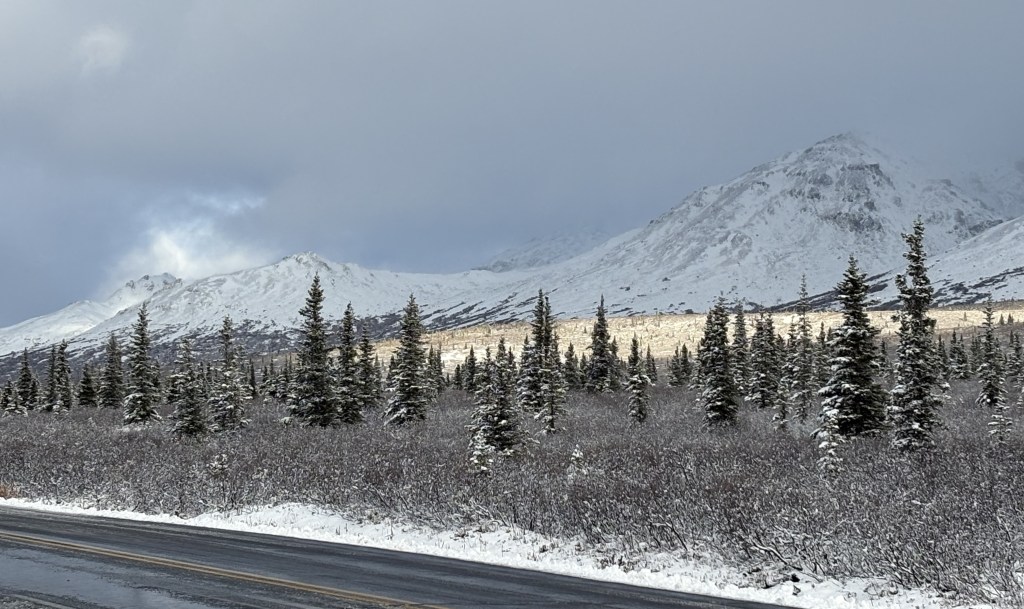
Here are more of the things I saw as I drove up and down the road within the Park:
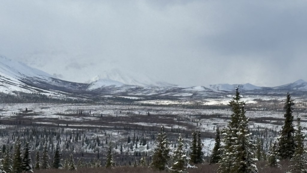
Yes, there were some times blue sky would actually appear, but they were fleeting. Wave after wave of low clouds would pass through very quickly.
Another short period of some clearing but then another set of dark clouds appeared to be on their way and I decided I had had enough fun for one day. I was cold and damp and decided to head back to my Airbnb and try again tomorrow.
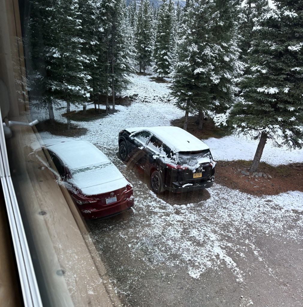
This time around I am staying in the small town of Healy, about 20 miles north of the entrance to the Park. When I woke up in the morning I could tell by looking out the window that it had snowed overnight. After my first visit to the Park, about two weeks ago, I decided to start checking the weather forecast for the Park itself, rather than checking nearby towns. After checking it several times over the next two weeks, I could tell temperatures were colder in the Park, and the chance of precipitation was often higher. I had thought about doing the second “lap” to Fairbanks counterclockwise – the opposite of my route the first lap, but in the interim I decided I’d better get up here sooner rather than later, so I came up directly from Wasilla.
That was what greeted me in the morning. The temperature was right around freezing, and I knew there were some bridges on my way to the Park, and that the road within the Park was at around 3,000 feet elevation, so I didn’t rush to get there.
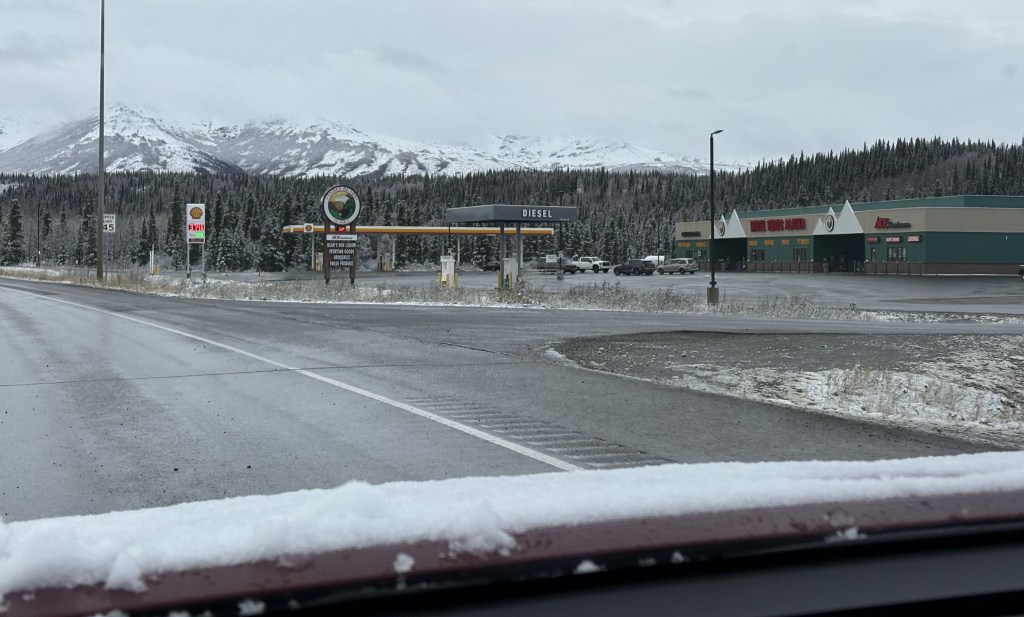
My first stop every day while I stayed in Healy was at what had become my favorite gas station/convenience store in the state – Three Bears Alaska. Their gas price was generally competitive and many of their locations had a good sized food department. I bought three cups of coffee (I had some thermos-type containers with me) and something to eat throughout the day so I could just stay in the Park. Then I headed to the Park for the day.
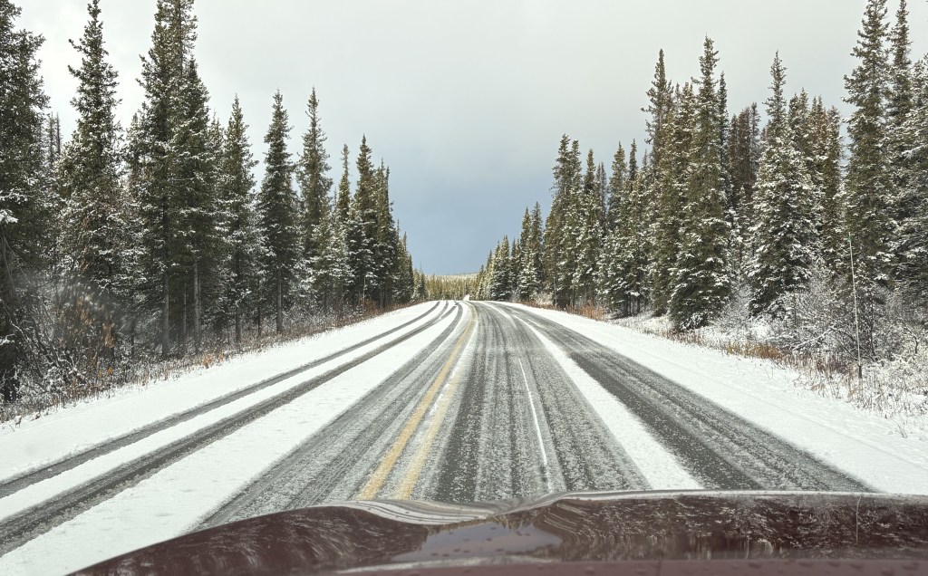
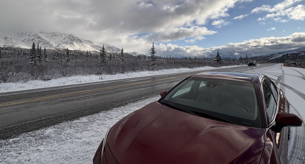
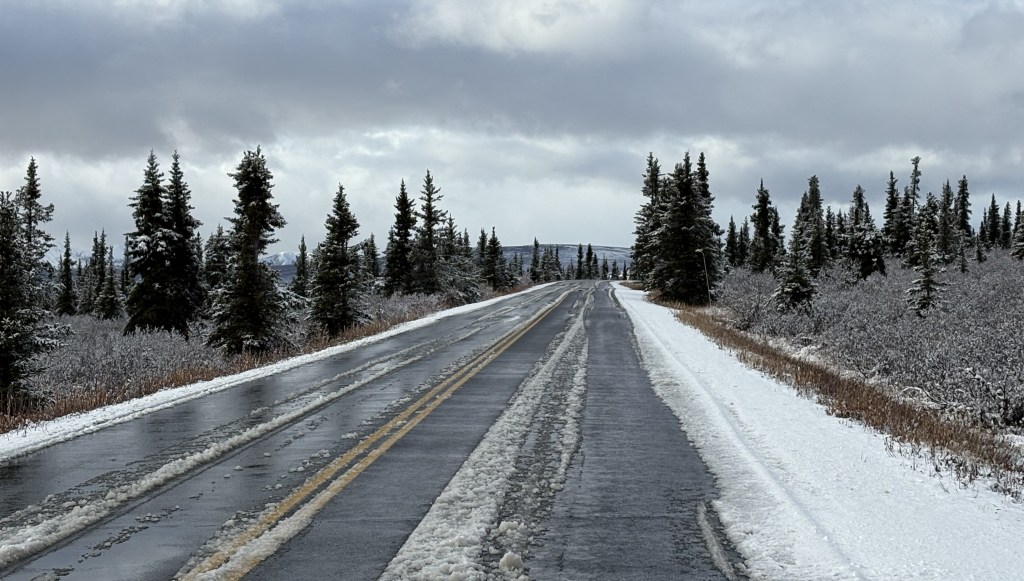
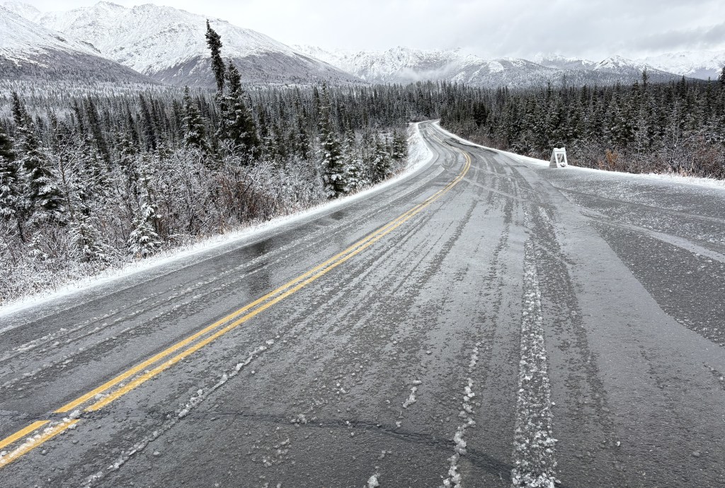
The road was wet, but clear, and the bridges were not an issue.
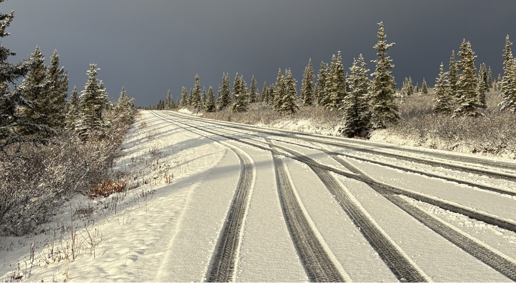
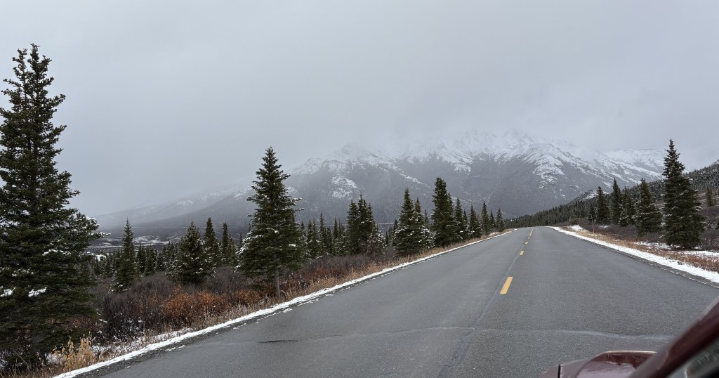
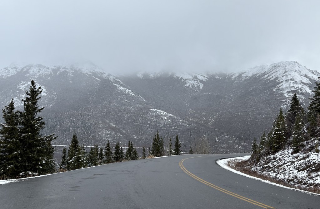
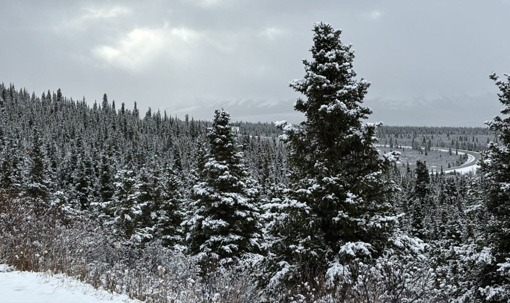
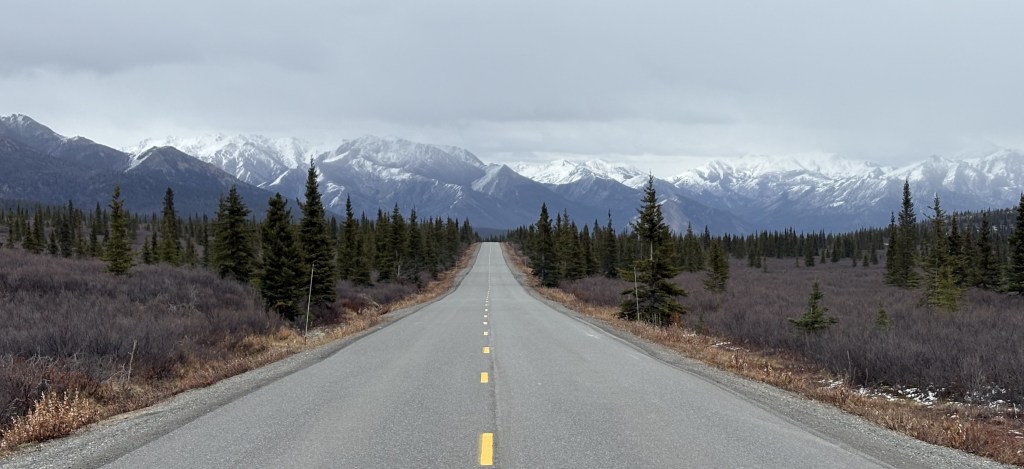
Once I got to the Park, this was the road past the parking lot which would take me up to where the road was mostly level:
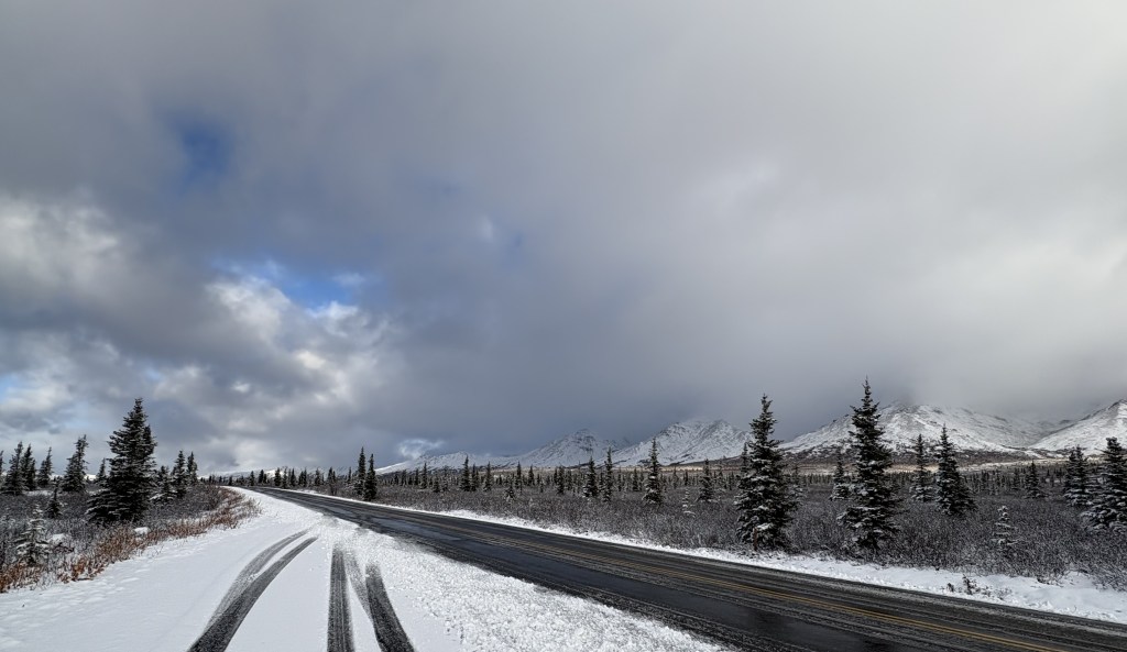
Once I got up to where the road straightened out I found that the road was wet and slushy, and there had clearly been some traffic. The photo below is from a pullout area looking back at the way I had come in.
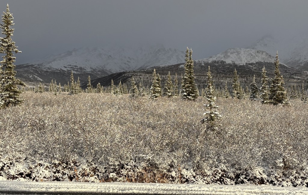
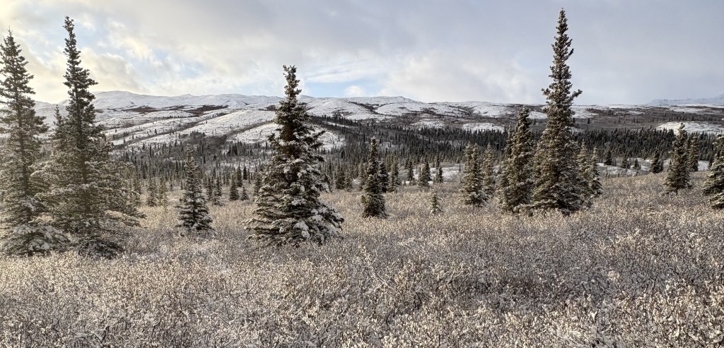
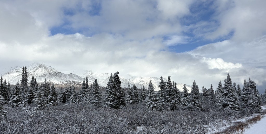
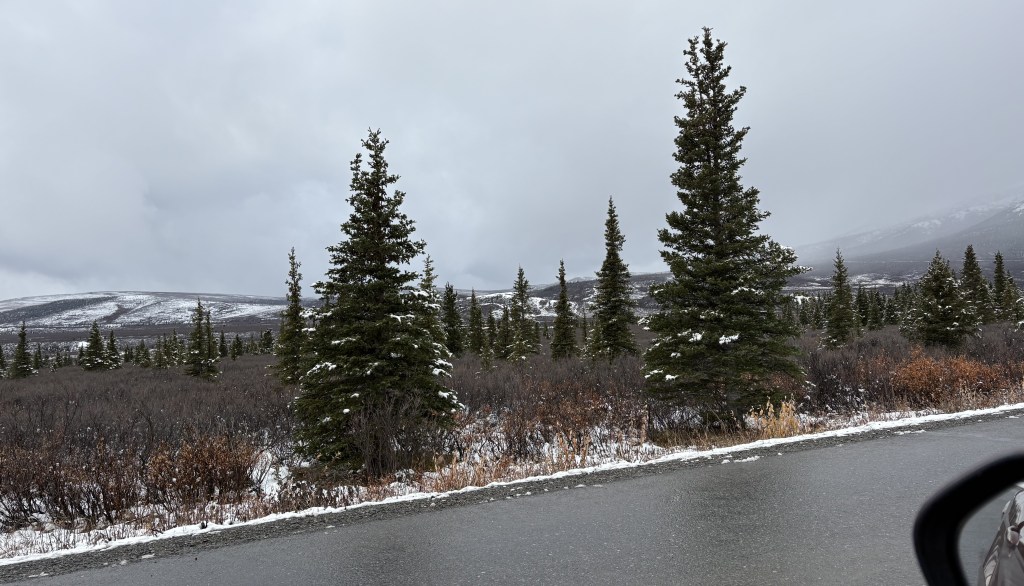
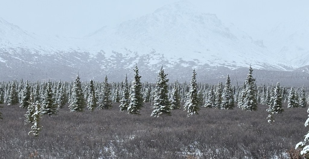
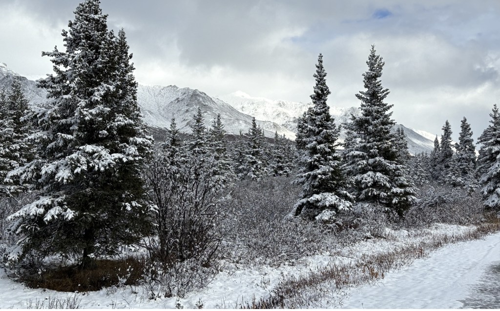
There was a small accumulation of snow right next to the road, and the pine trees and scrub brush had a light coasting of snow and/or ice. The temperature was hovering right around freezing and there was a breeze, but not enough to knock the snow off the tree branches.
As I approached the point where the road would drop down to the Savage River, the low clouds were starting to move in, limiting visibility. That would set the tone for the day.
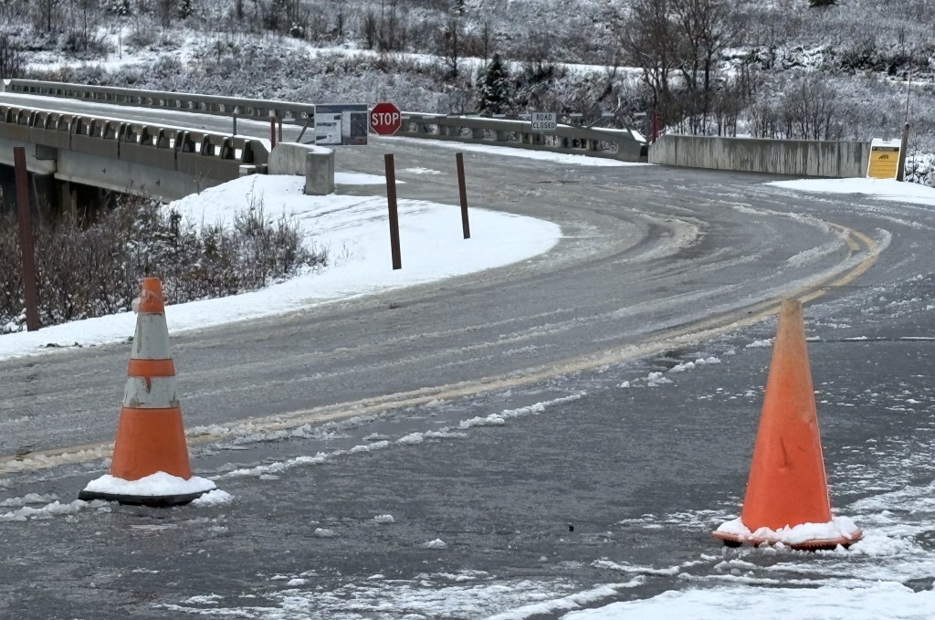
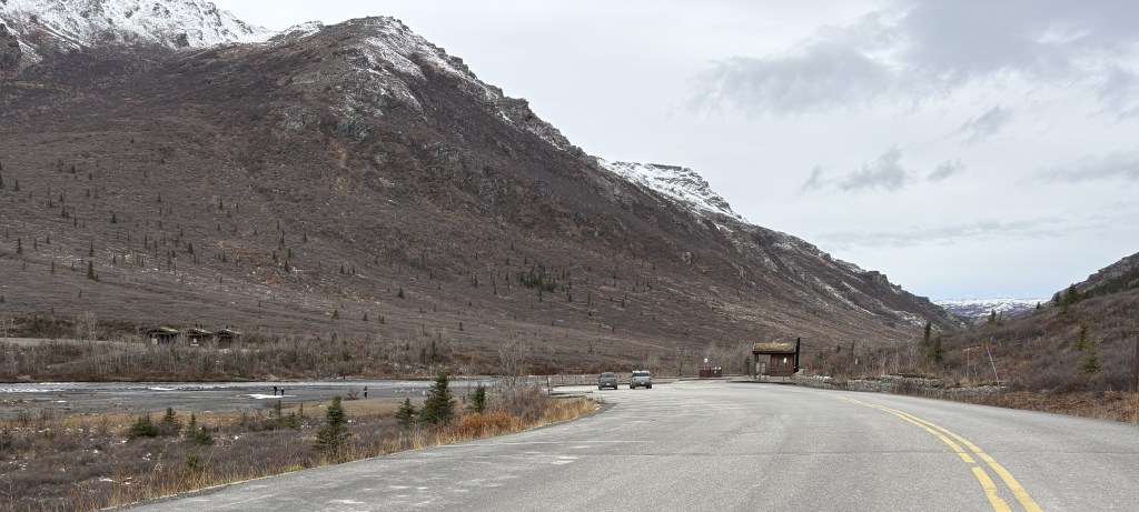
The photo above is from the entrance to the parking area at the 15-mile mark, and you can see the gate over the bridge was closed and locked. There would be work trucks which would arrive periodically and they could open the gate, pass through, and lock it behind them. I learned from the Park website that there was a portion of the road about 50 miles into the Park which was under repair. I would see muddy trucks, often with trailers, leaving late in the day.
So I was now limited to the first 15 miles only, with limited visibility, so I spent most of the day watching for wildlife. I would drive up and down the road, sometimes just barely crawling, so I could watch both sides of the road. Because there was hardly any traffic, and I could usually see vehicles coming, I could crawl along at 7 mph, or even stop in the road, without creating a problem for other vehicles.
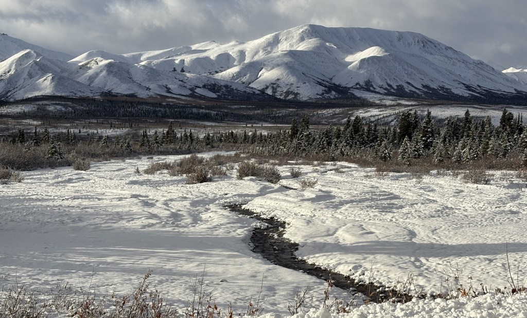
That is from the high point near the 15-mile bridge. There was a small pullout area there, and when I could see things in the distance I would park there and use my binoculars to scan the horizon, the river, the fields below me or beyond the bridge, and the hill on the mountain on the other side of the bridge. I had an orange tuque on my head and two sweatshirts on, and would pull the hood of the outer one up if the wind was blowing. I also had my bright orange mittens on, with had ends over my fingers which I could remove to be able to manipulate the camera or binoculars. It remained a very cold day.
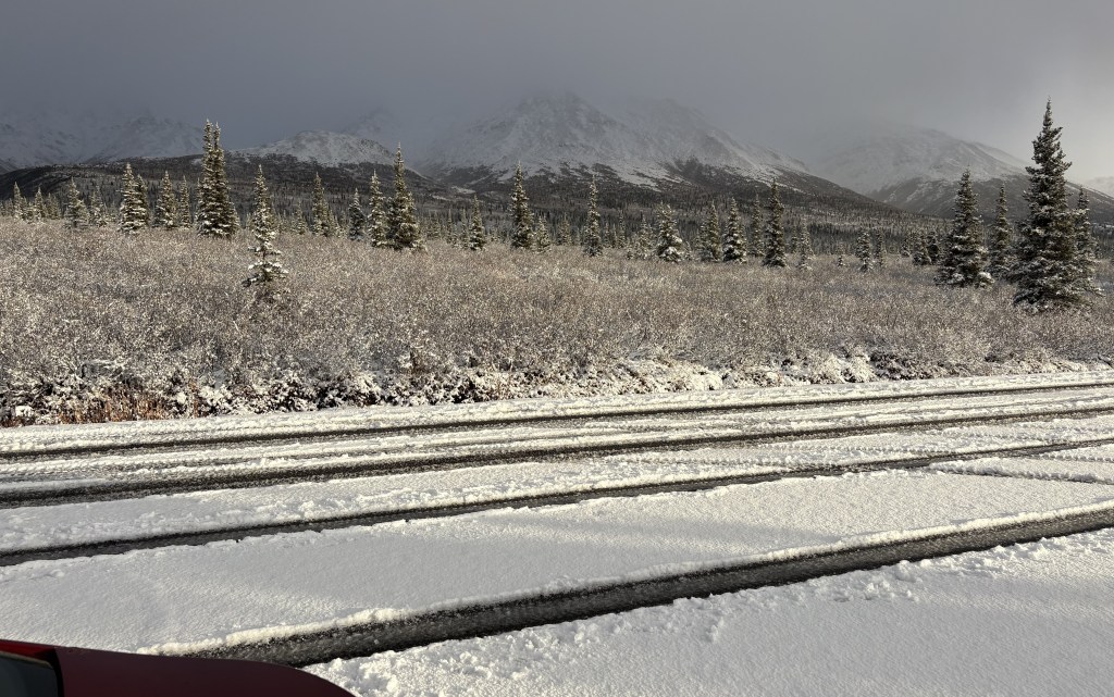
Some of the pullout areas had more snow on them than others. Traffic on the road kept it wet and slushy.
Several times I would park my car in a pullout area, fully off the road, and walk up and down the road looking to the sides for animals. I always had a can of bear spray in my kangaroo pouch of my sweatshirt, and another one in my back pocket.
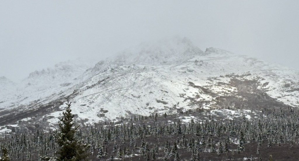
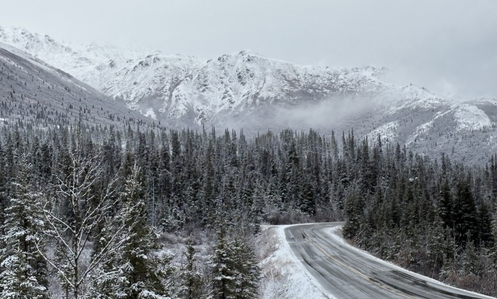
Occasionally a small patch of sunshine would appear on a mountain, but it never lasted long, as the clouds were moving fairly quickly over the Park.
The only road that goes in to Denali National Park extends 92 miles west from the main Visitor Center. The first 15 miles, which are paved, are open to all visitors using their personal vehicles. When the buses stopped running on September 15, the next 15 miles are also opened to all visitors, weather permitting. That goes at far as the Teklanika River campground, and was where I had to turn around today.
Beyond that campground the road continues to Mile Marker 53, the Toklat River ranger station, then to Mile Marker 66, the Eielson Visitor Center, then to Mile Marker 85, Wonder Lake (which has a spectacular view of Mt. Denali), and ends at Mile Marker 92, where there is an airstrip for planes.
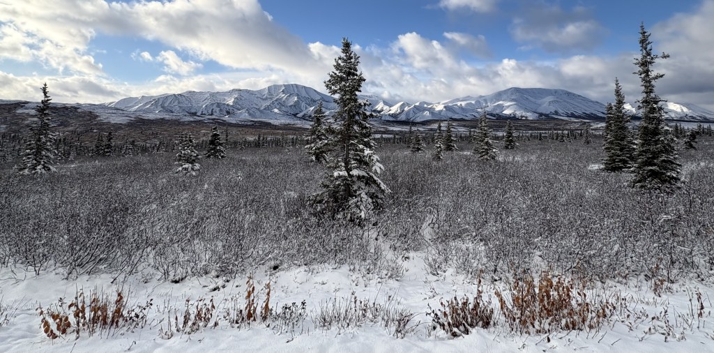
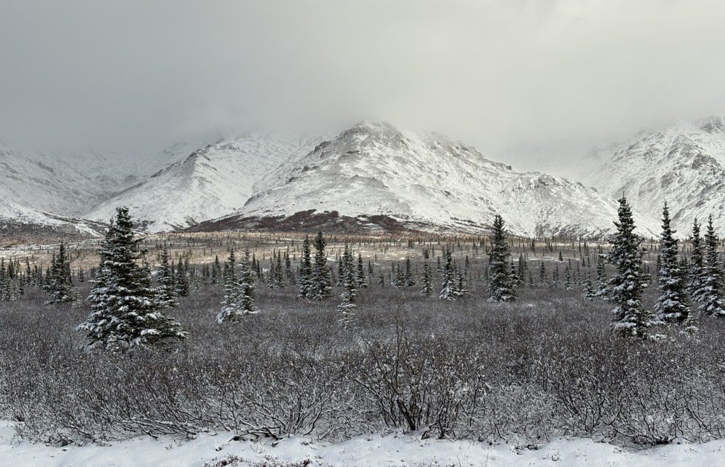
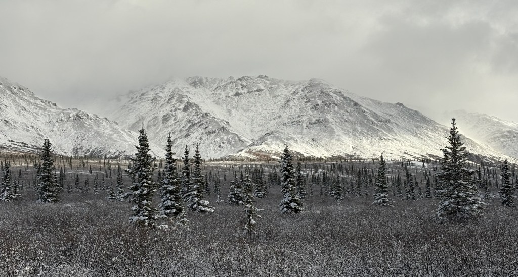
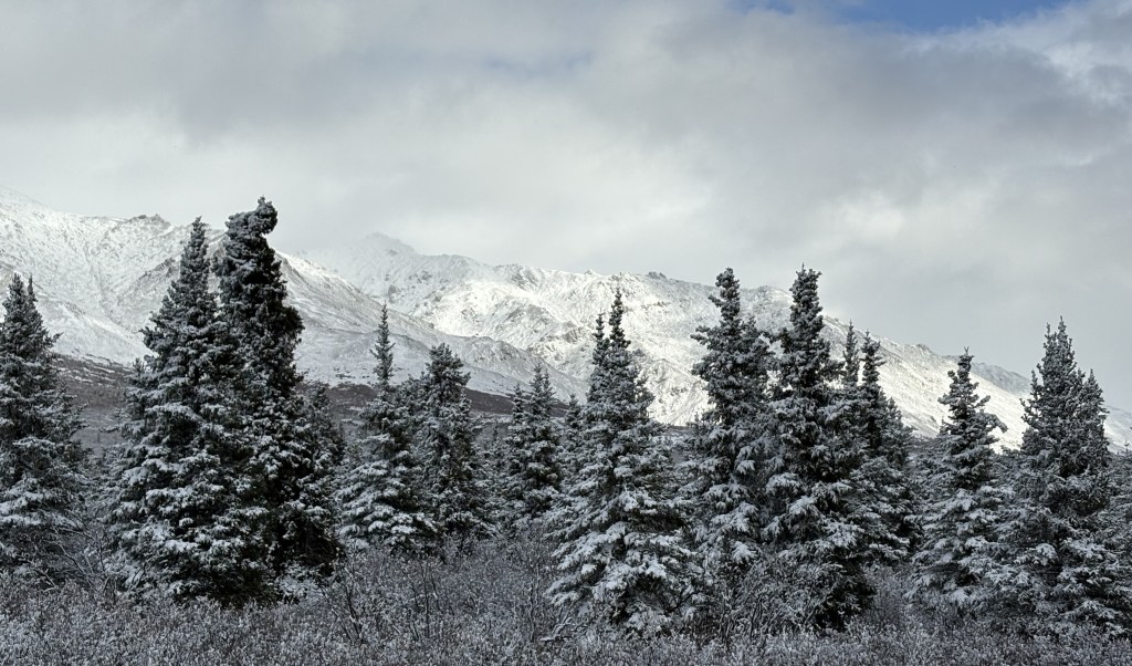
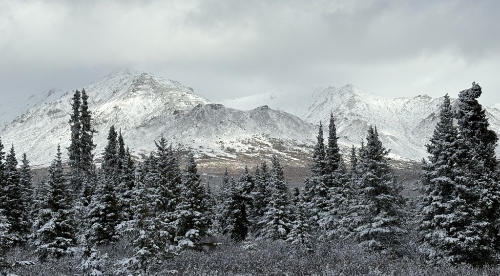
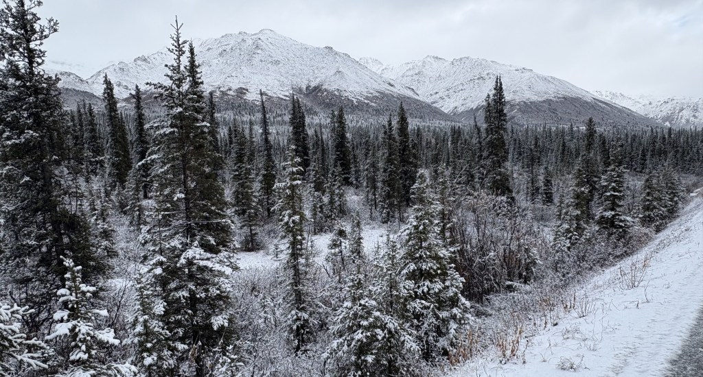
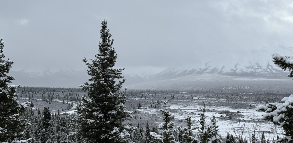
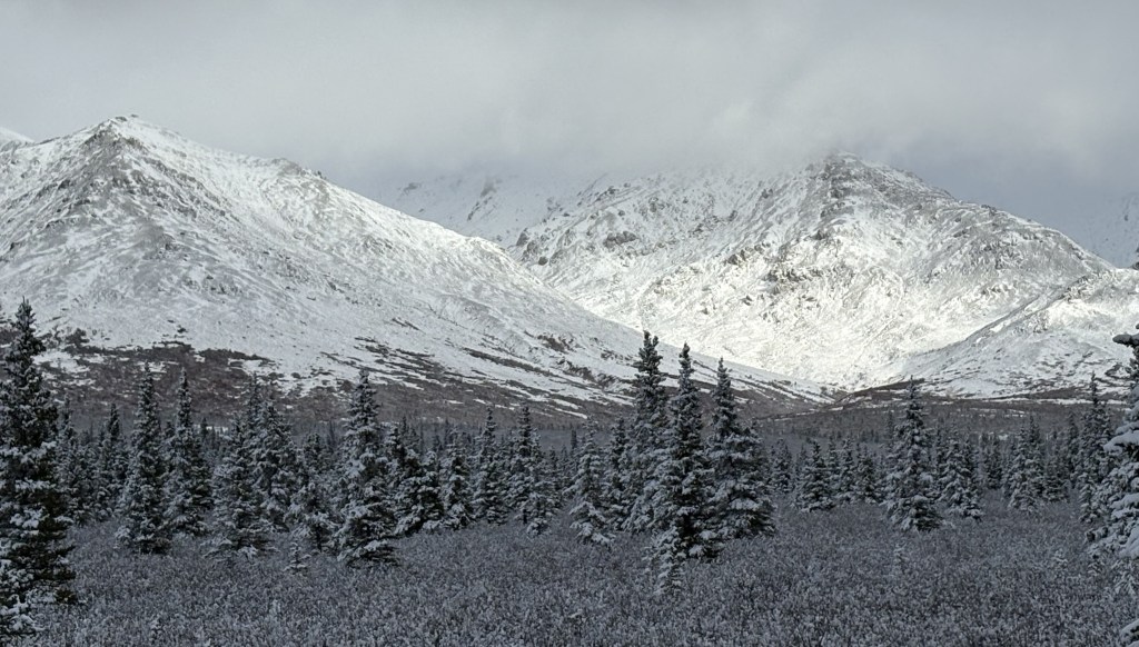
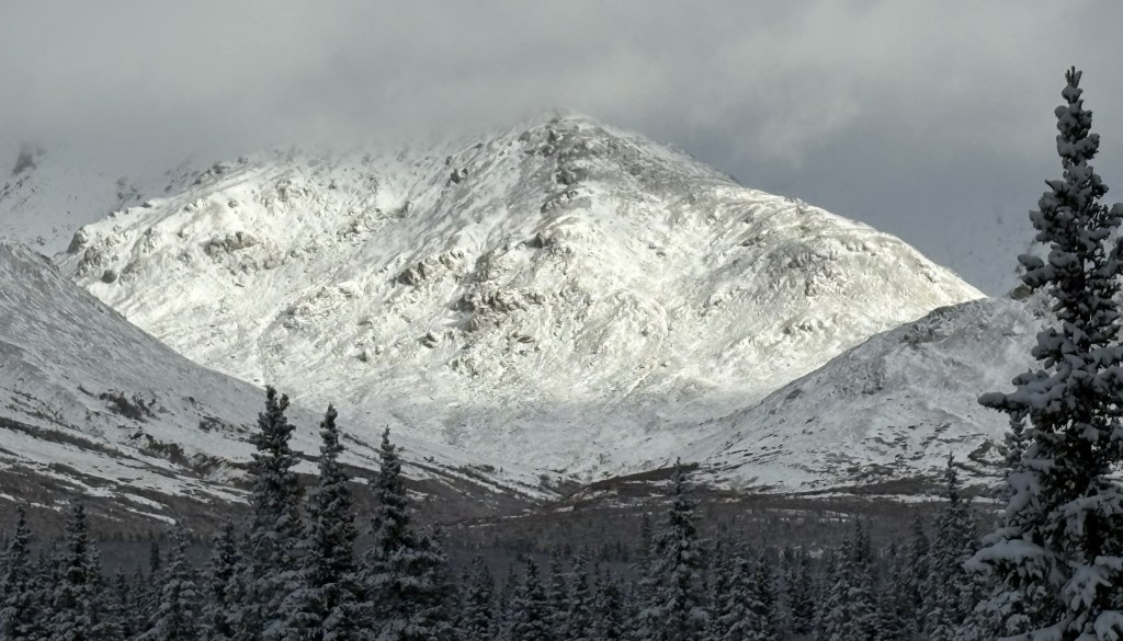
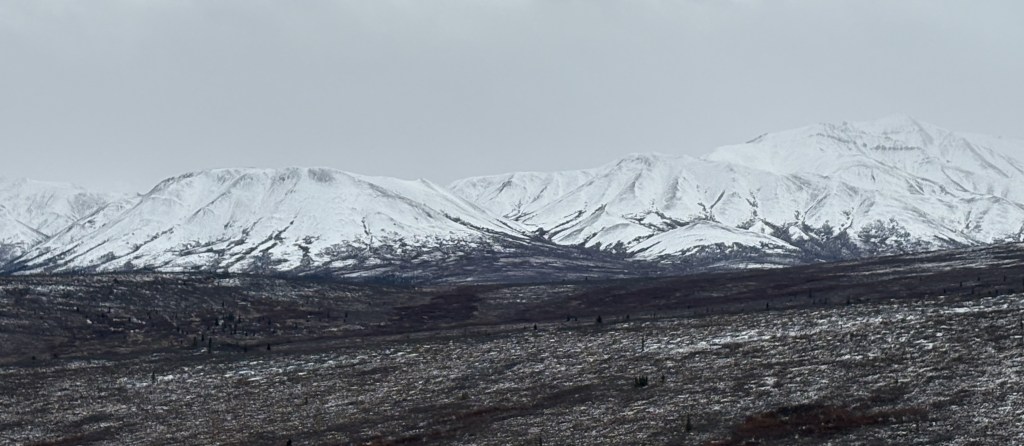
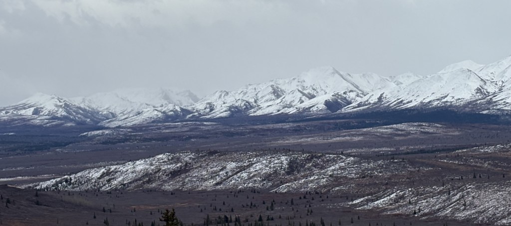
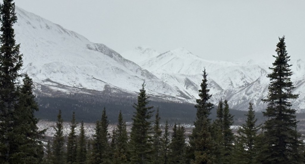
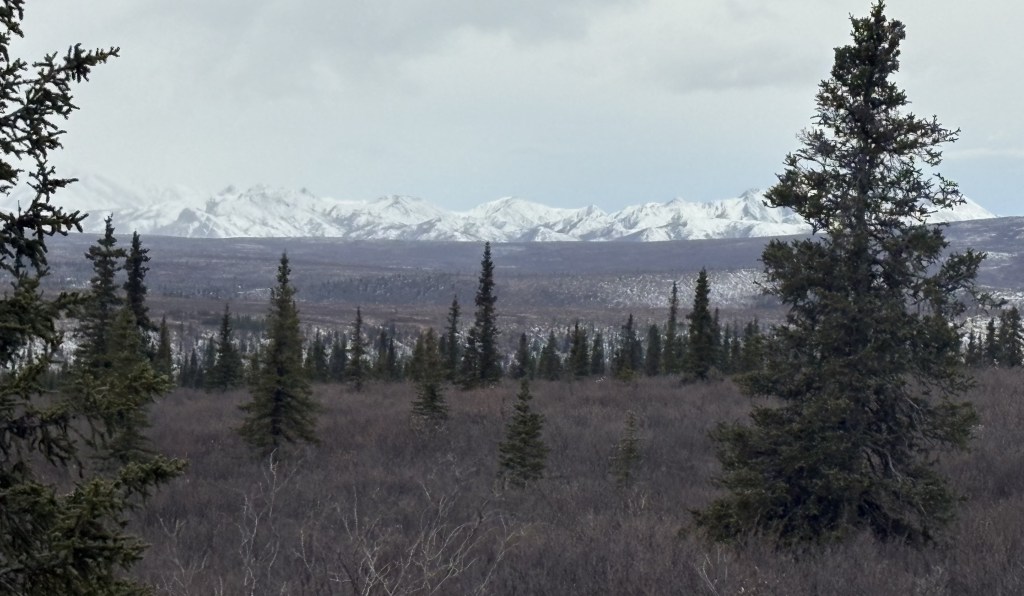
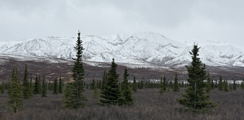
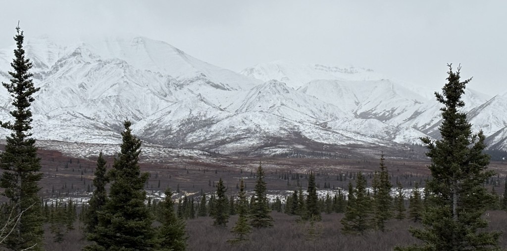
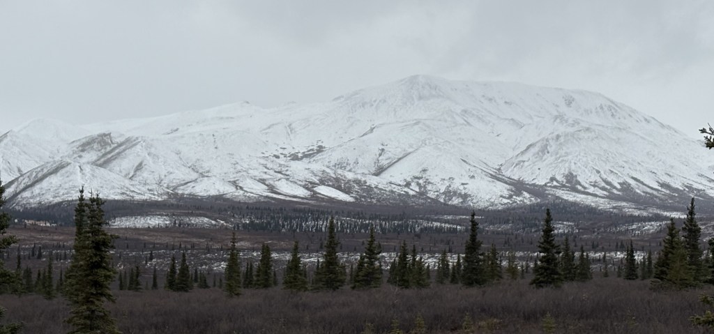
Here are more of the things I saw as I drove from Mile Marker 15 to Mile Marker 30:
That was as far as I was allowed to drive in today. I don’t think I was anywhere near Mt. Denali itself so I doubt if I somehow got a photo of it. I wasn’t very close to any of the mountains I saw, and the road went up and down between hills which probably blocked my view looking deeper into the Park.
I stopped taking photos and focused more on looking for animals on the way out. It was almost 6pm when I turned around and I’ve heard that wildlife sighting typically increase in the morning early morning and early evening. Black bears may have started hibernating but grizzly bears may have still be out and about. I did speak to a couple from Europe when I was here two weeks ago and they had a video of three grizzly bears crossing the road just a few feet in front of their vehicle, and they said it was on the section of road back here.
If I had known that I wouldn’t have an opportunity to speak with any rangers on this visit I might have asked more questions when I was here about two weeks ago. Never having been here I had no idea what to expect.
This was my only opportunity to drive the additional 15 miles in. There will be more snow arriving overnight and the gate at the Savage River bridge was closed for the remainder of my visit.
When I stopped in at the Park about two weeks ago, rangers told me that, weather permitting, I would be able to drive 15 miles beyond the first 15 miles of the road into the Park. This was because the buses, which normally taken visitors deeper into the Park, were no longer running. When I arrived at the end of the 15-mile paved road today, the gate at the Savage River bridge was open.
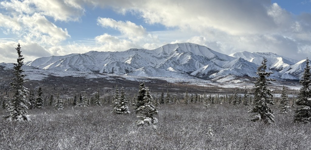
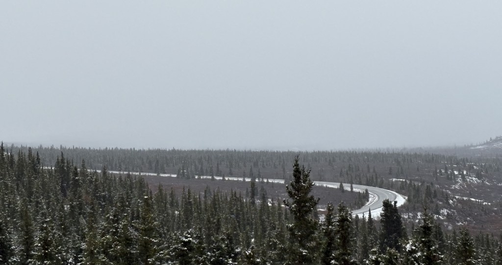
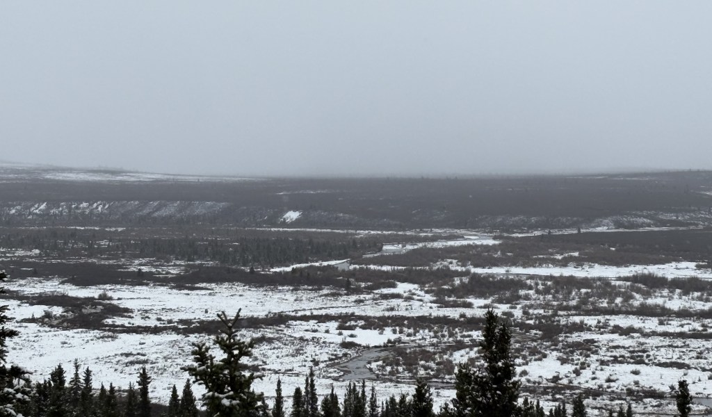
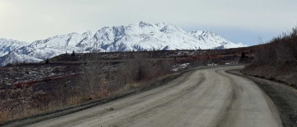
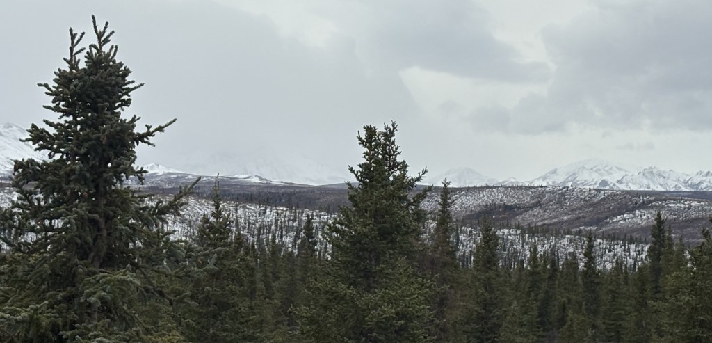
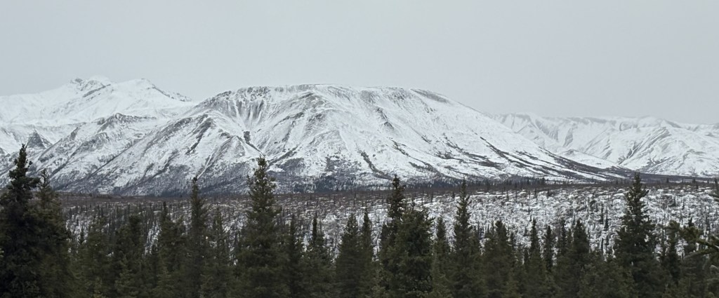
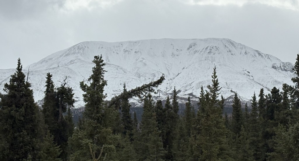
Here are photos of what I saw as I drove on the next 15 miles. The road is unpaved but was in surprisingly good shape. There was very little traffic, as the Park was virtually deserted. The road kind of zig-zags for the first few miles, and you will see some duplication in the photos. I tried to eliminate photos that didn’t turn out too well.
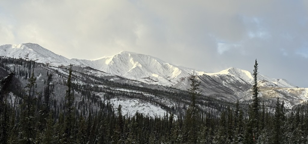
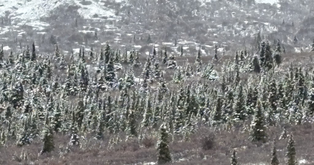
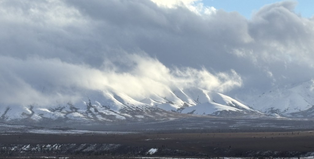
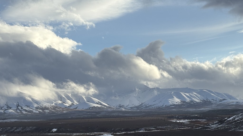
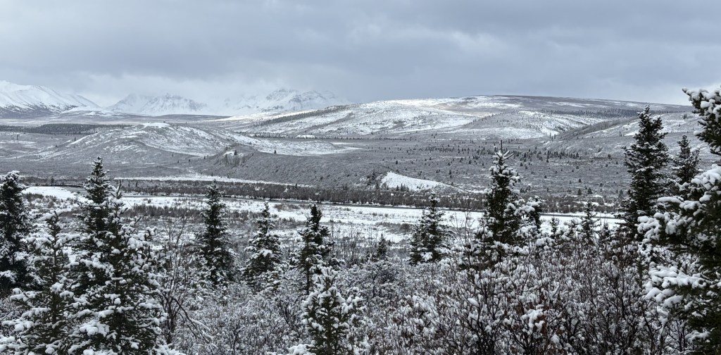
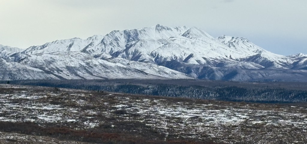
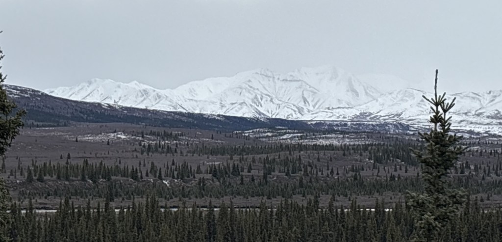
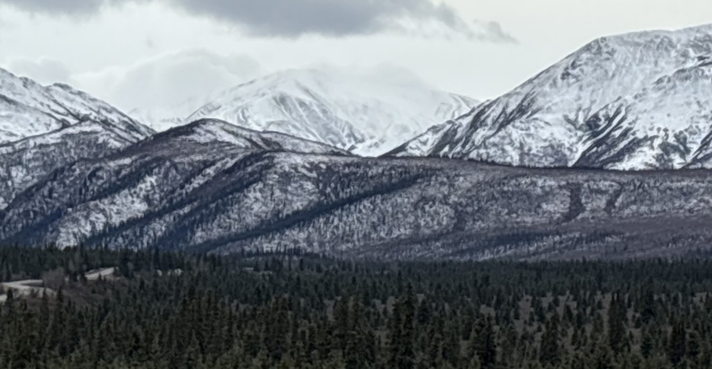
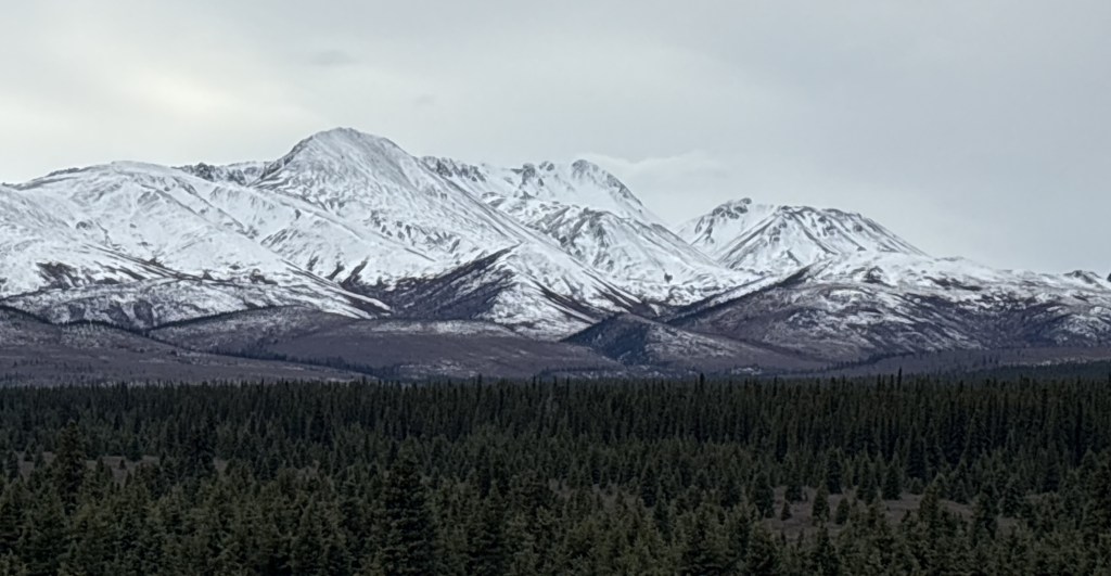
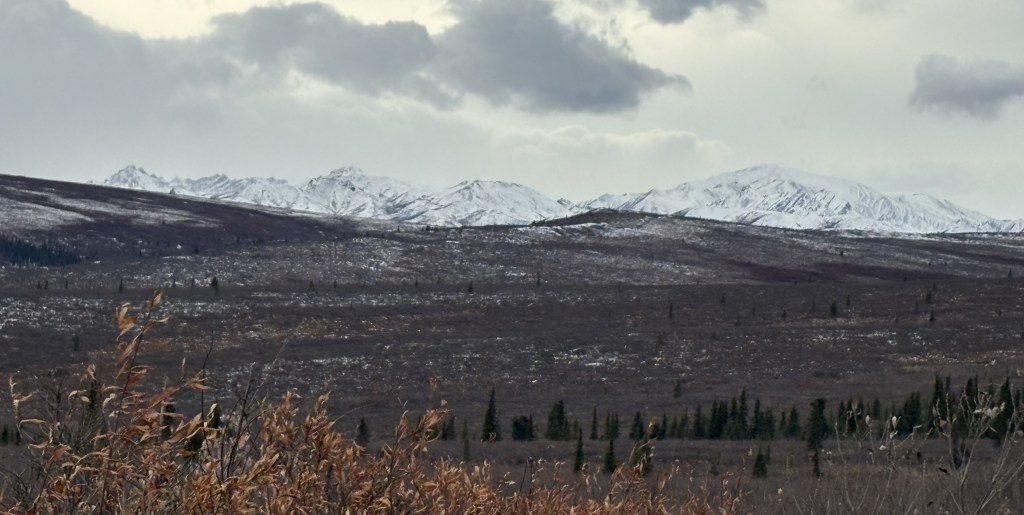
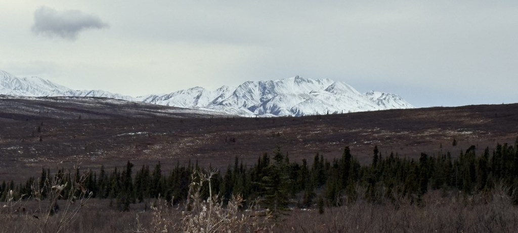
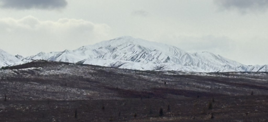
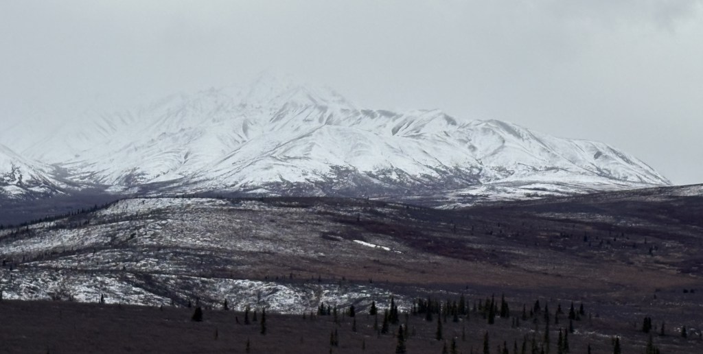
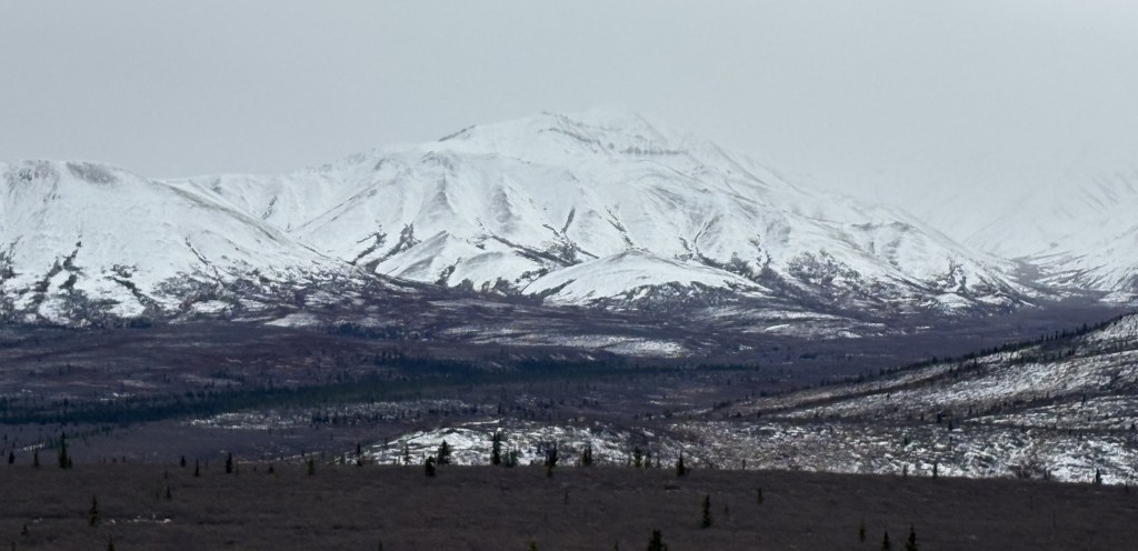
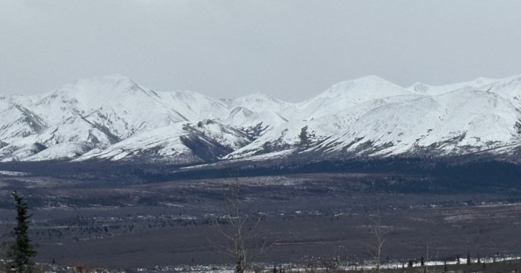
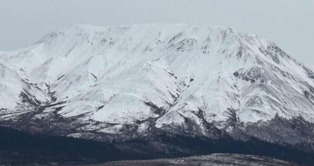
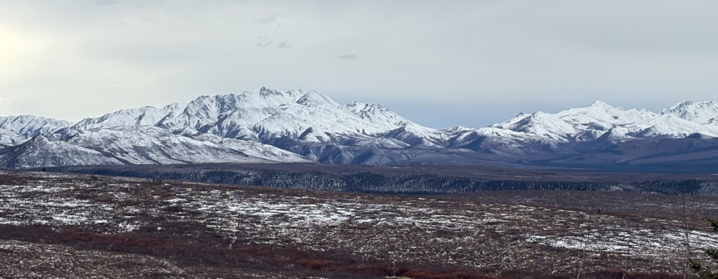
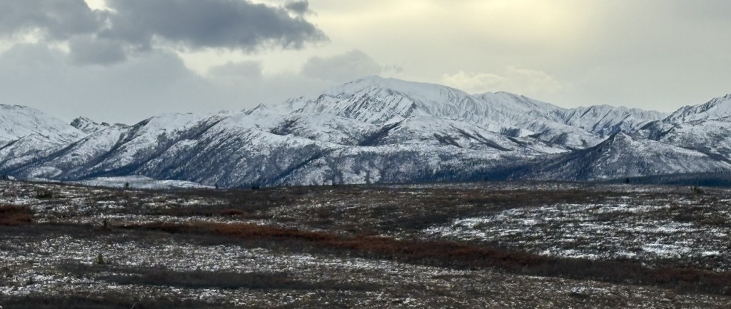
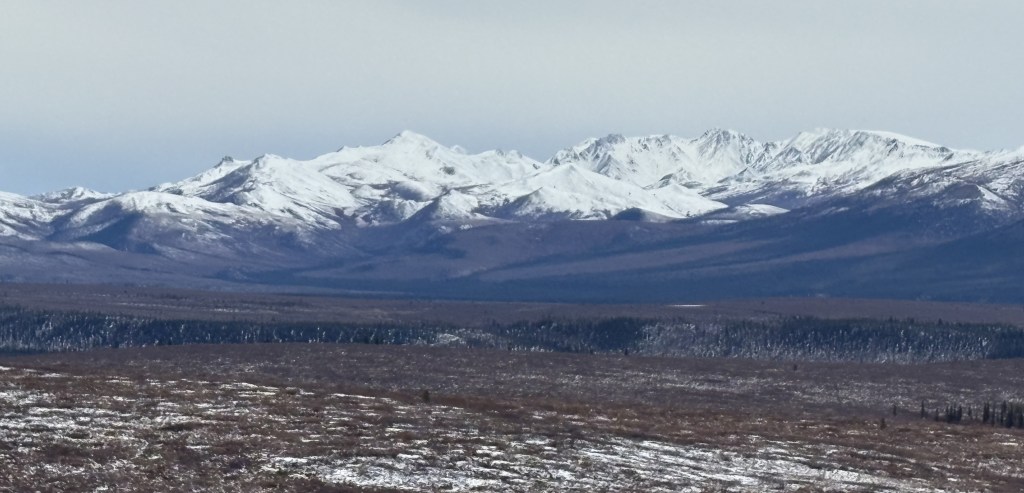
I don’t know the names of any of the mountains. I will say that seeing them in person was much better than seeing them in photos. Although I spent a good bit of time scanning the fields (more so on the way out) I never saw any animals.
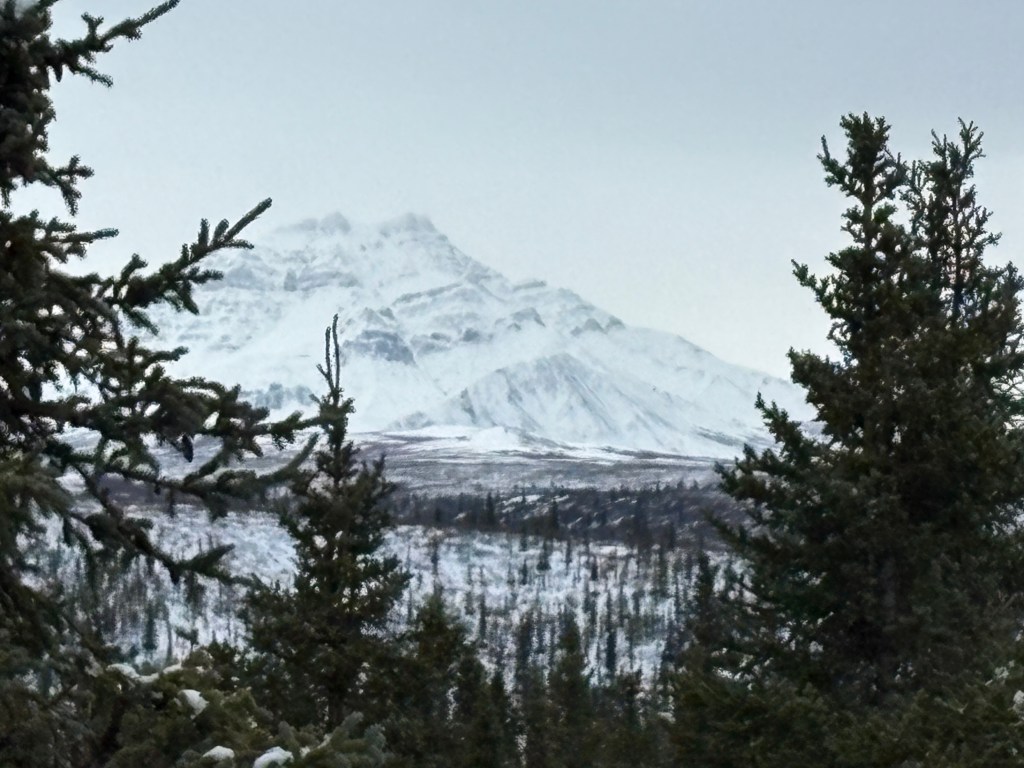
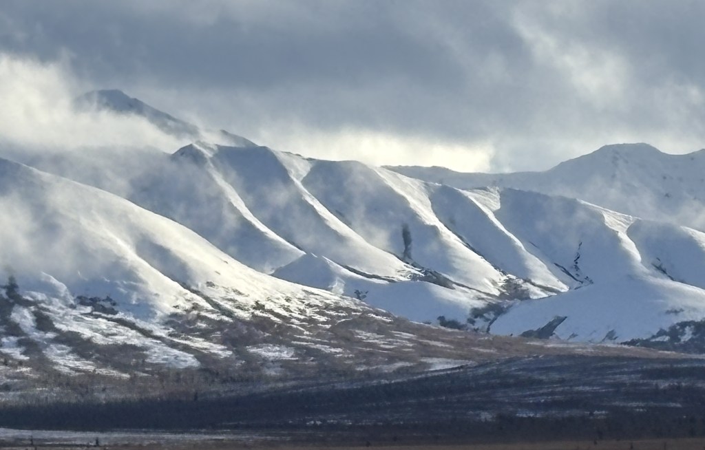
Those last few photos were of mountains which were absolutely stunning to see in person. The photos don’t do them justice. When I came around a turn and saw them in the distance I stopped and got out of the car and just stood and looked at them for a while before I took the photos.
Having driven up from Wasilla, I had now arrived at the Park. My first sign that there was something amiss was when I pulled into the parking lot at the Visitor Center. Hardly any cars. I had been here about two weeks ago and while it wasn’t “packed” by any means, there were definitely a lot more vehicles. I also discovered that the large Visitor Center I had been in two weeks ago was closed, with a sign directing people to the “Winter Visitor Center,” a short walk away.
I walked down the hill to the other Visitor Center, only to find that it, too, was closed.
I walked back to where I had parked and found that a few other vehicles had arrived. I told them not to bother going down the hill. This was when someone mentioned that the US Government had “shut down” the night before due to a funding bill not being passed. I knew that the last time that happened the National Parks remained open, but with limited staffing. I explained that in my opinion, if we weren’t supposed to go in they would most likely have had a barrier across the road to keep us out.
I went ahead and drove in, but I believe most of the people I had seen probably left, thinking the Park was actually closed, because I hardly saw any vehicles after I went in. I did see two Park rangers drive by at various times during the day but they never stopped to talk with me.
My first stop was at the viewpoint where I theoretically could have seen Mt. Denali if the conditions were right. Given how poor the distance visibility was as I drove up I wasn’t terribly optimistic.
Nope. I could barely even see the shorter mountains which were much closer.
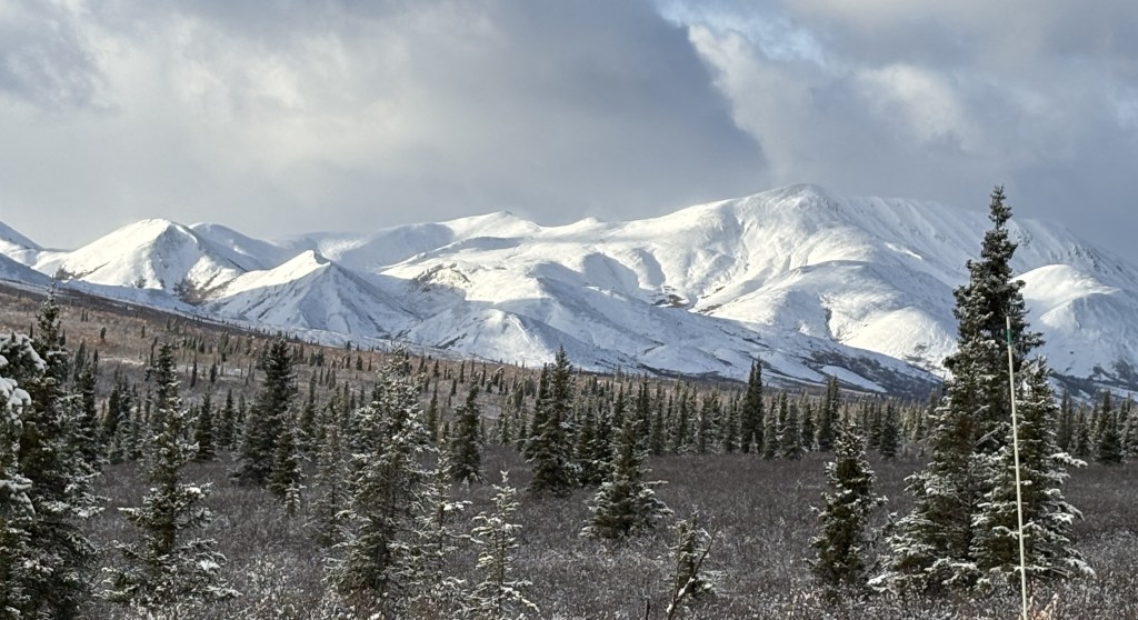
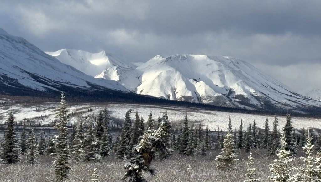
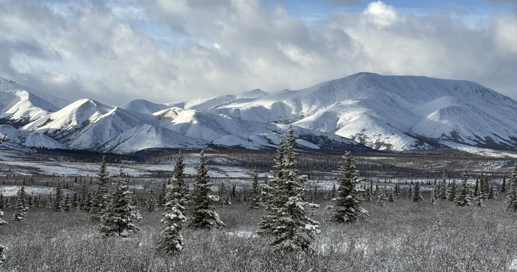
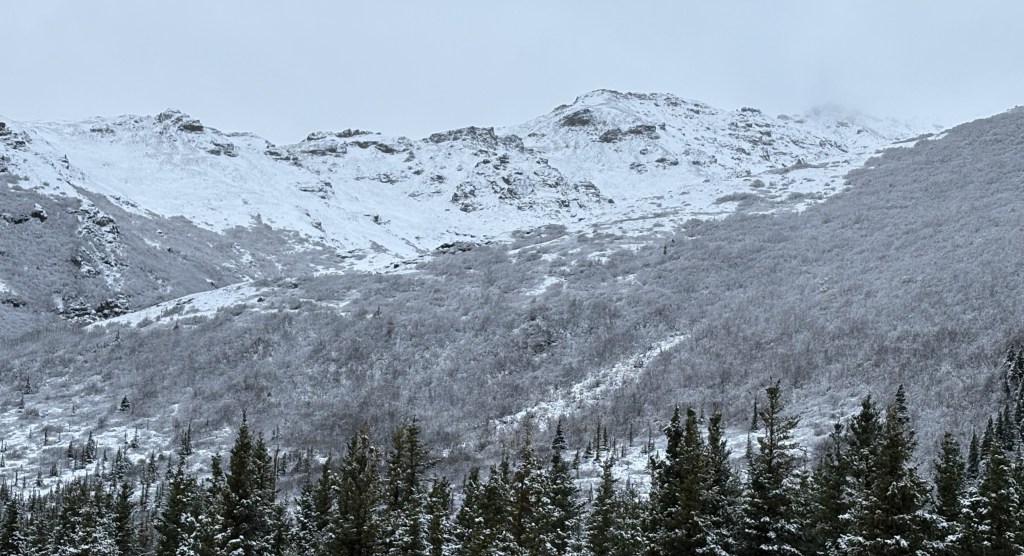
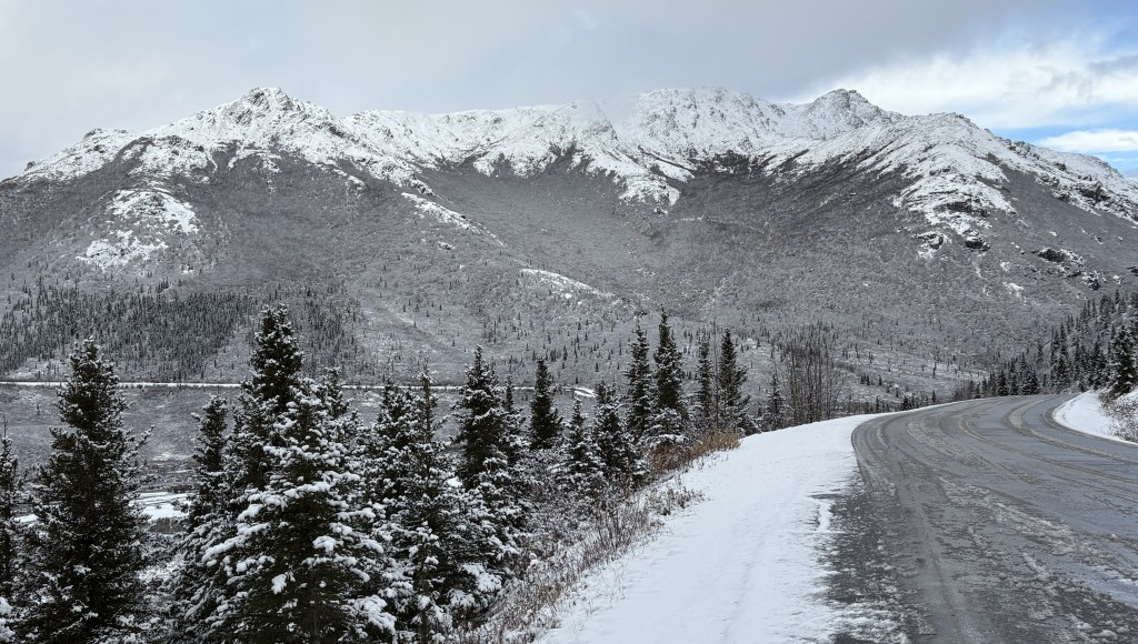
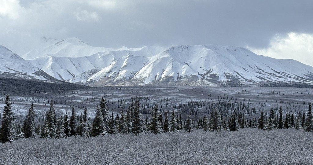
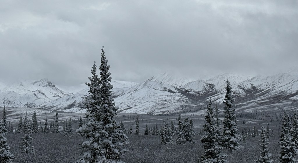
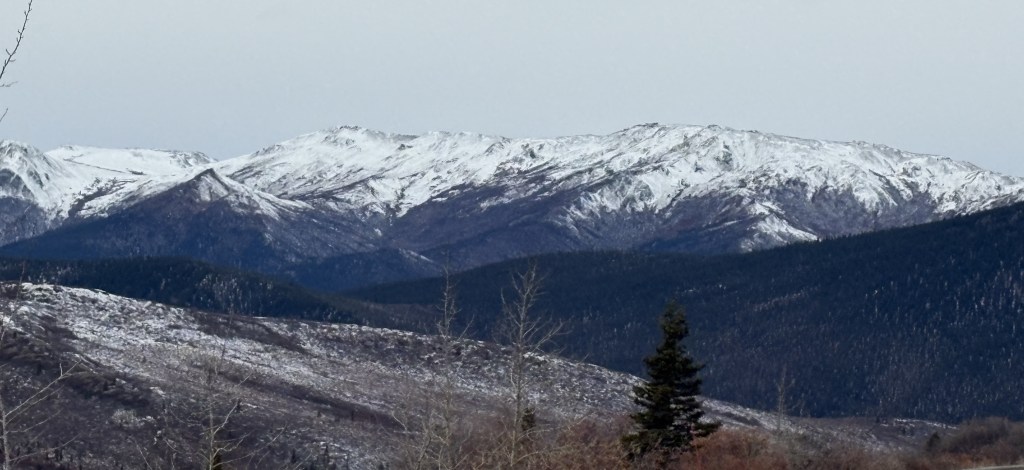
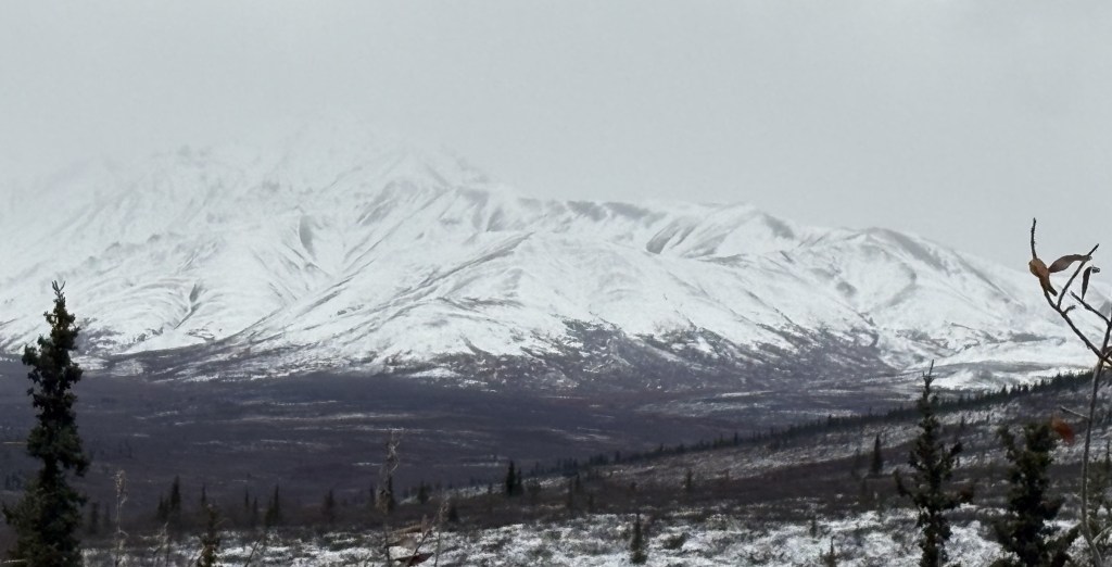
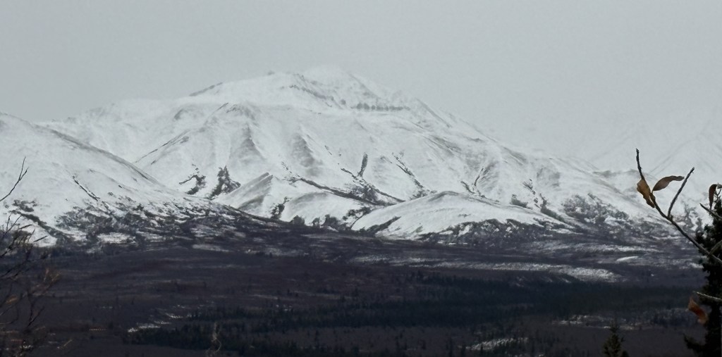
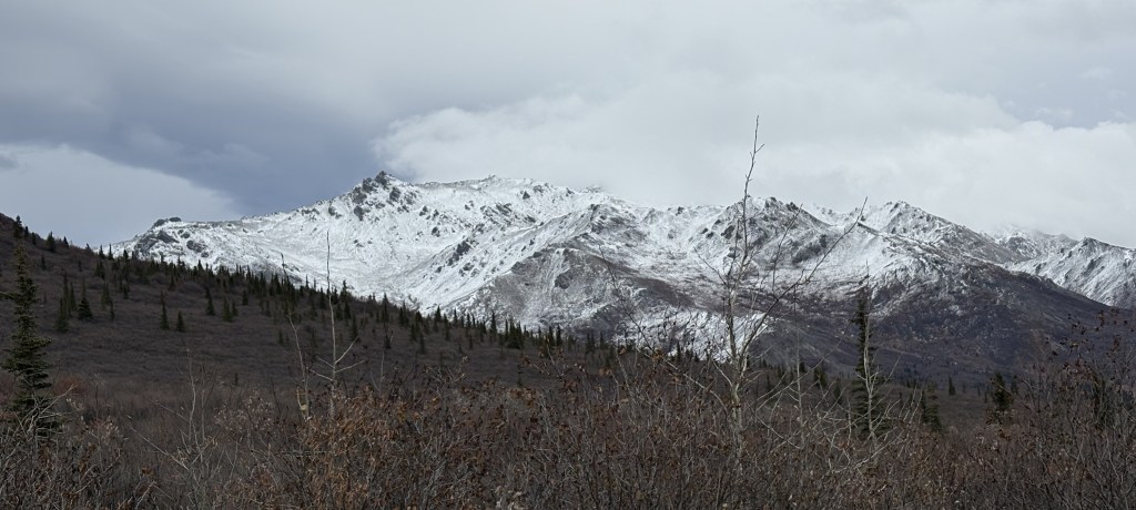
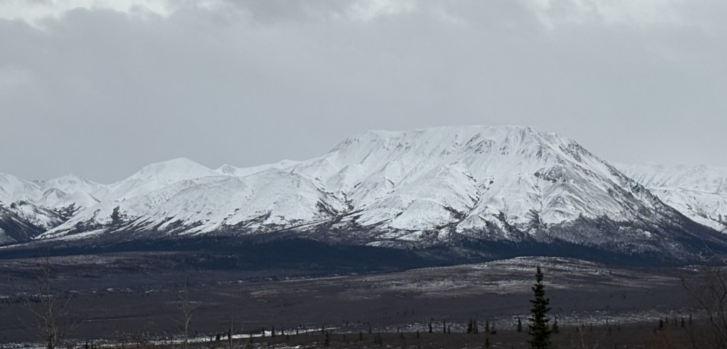
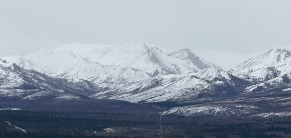
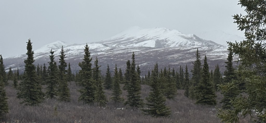
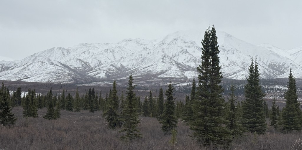
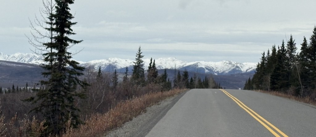
I proceeded to drive in on the 15 miles of paved road which I knew would be open. There had obviously been some snowfall recently and these are the things I saw. Most of the mountains I will show you were on the left side of the road going in. Having been here two weeks ago, I knew they were larger and more “impressive” than the ones on the right.
The next two were on the right. They basically start higher than the road surface so I was looking up at them.
Back to the left side:
The next shot is looking right from the same spot on the road. This is one of the places which drain water runoff from the mountains on the right, downhill to a river near the base of the mountains on the left.
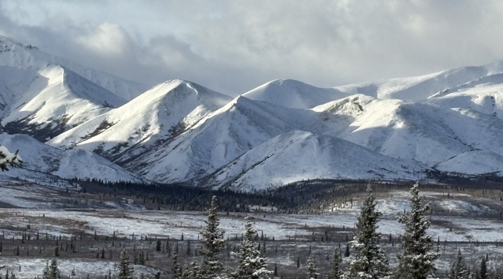
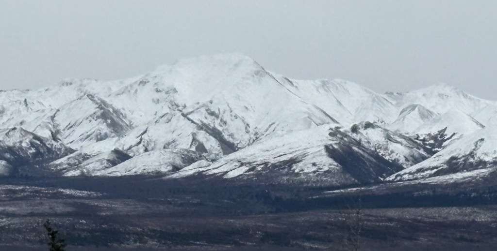
Three more on the left:
One last one on the right:
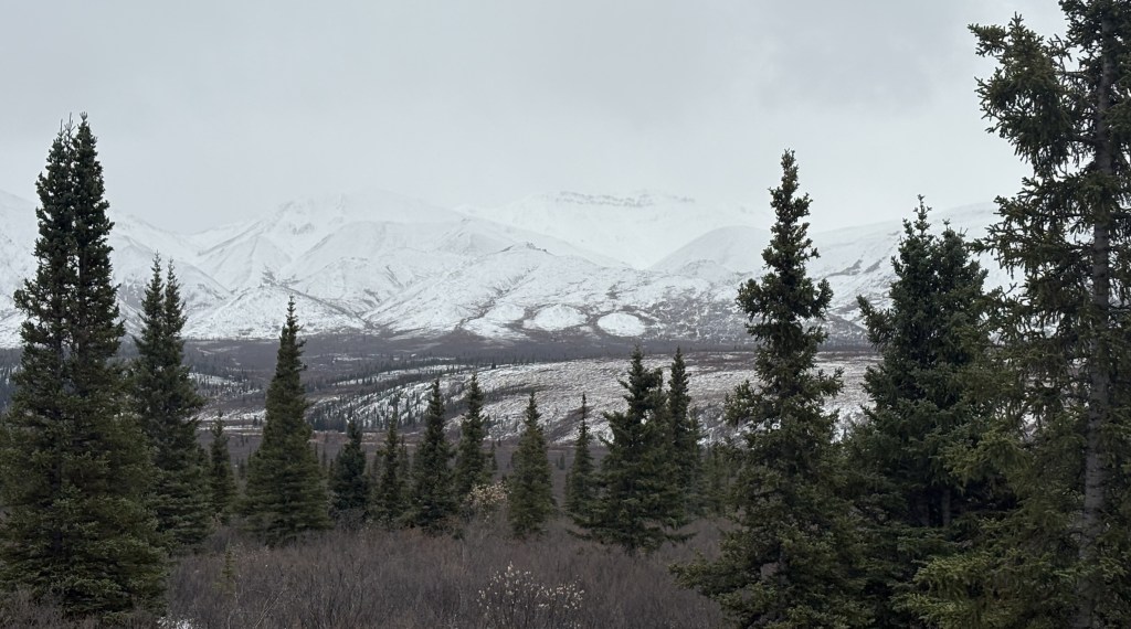
This is from the road looking back towards the Park entrance.
I honestly didn’t remember that I could see that many mountains looking that direction but there they are. They may not have had snow on them when I was here previously, so wouldn’t have been as noticeable.
I continued deeper into the Park towards the gate at the 15-mile mark.
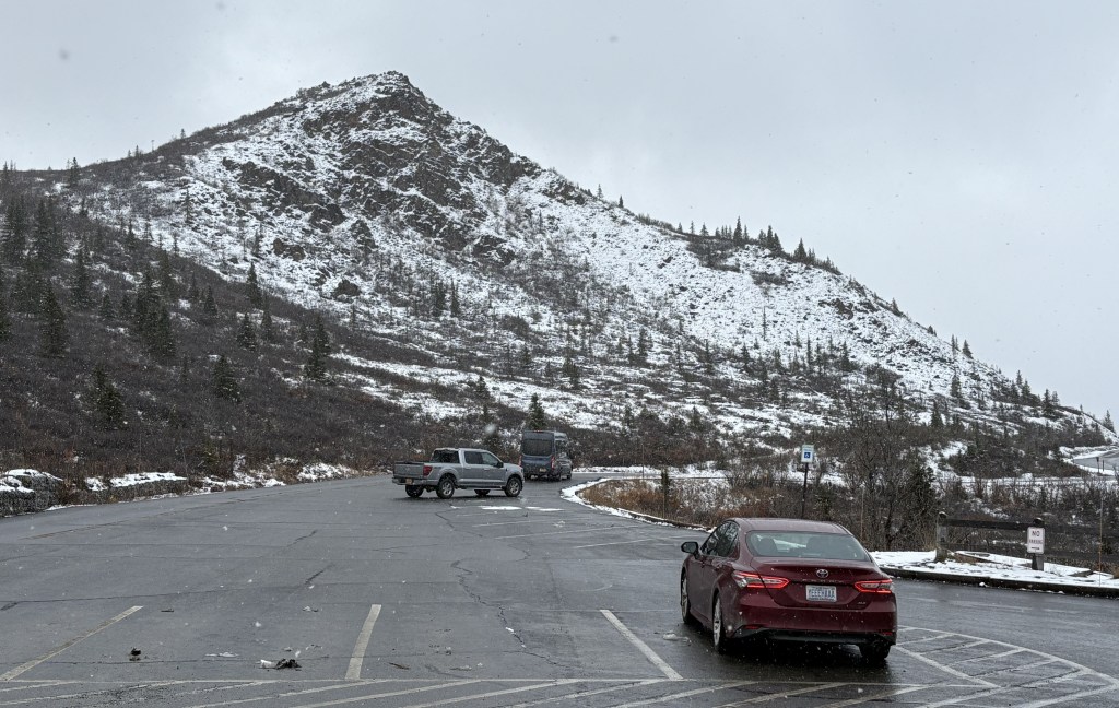
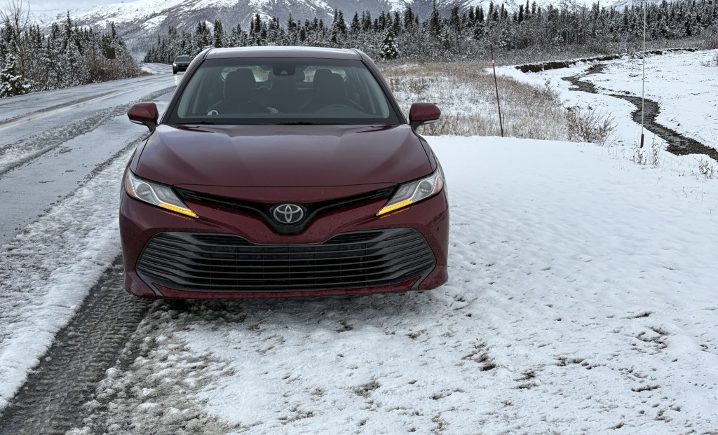
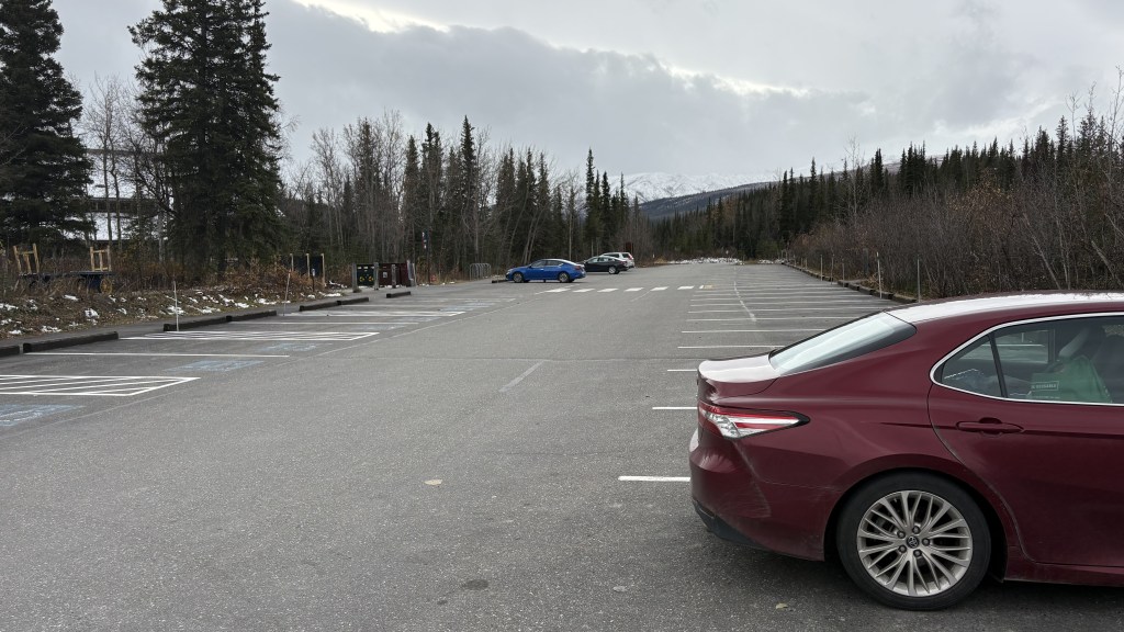
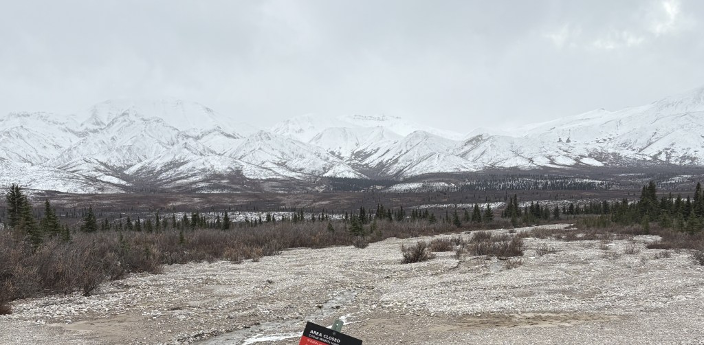
This is the small parking area there. It is the end of the paved road and is normally where regular vehicles must stop and turn around. As you can see, there were only two vehicles parked there, and it was 440pm.
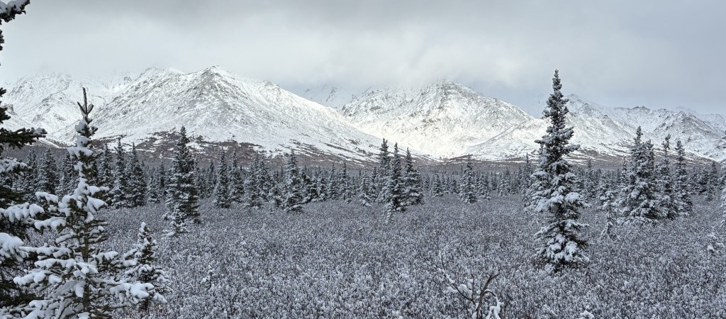
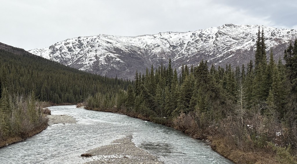
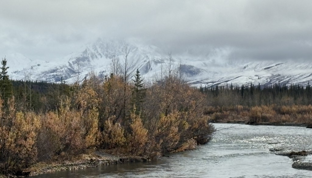
This is the mountain on the opposite side of the Savage River:
And this is the bridge which crosses the river.
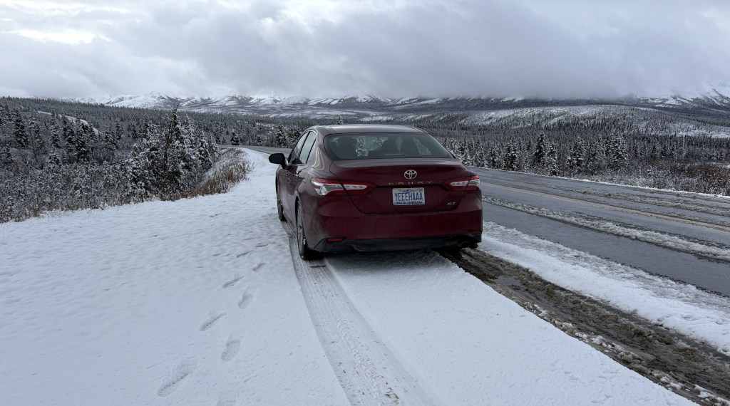
This is me driving over the bridge!
The gate was OPEN and the rangers I had spoken with two weeks ago told me that since the Park buses had stopped running for the season, visitors were allowed to drive in an additional 15 miles on a dirt road, weather permitting. As it turned out, there will be snow coming overnight so today will be the only day I will be able to drive to the “Back 15”.
I will show you those photos tomorrow in the next two posts. There are lots of photos but I have gone through them several times trying to pick the best ones. I will tell you now that I saw NO animals! Based on my discussions with other visitors two weeks ago it sounded like the “Back 15” was the most likely place to see bears, but don’t get your hopes up. While I spent lots of time every day scanning the fields for moose or bears (sometimes with my binoculars), I hardly saw any animals the whole time I was here.
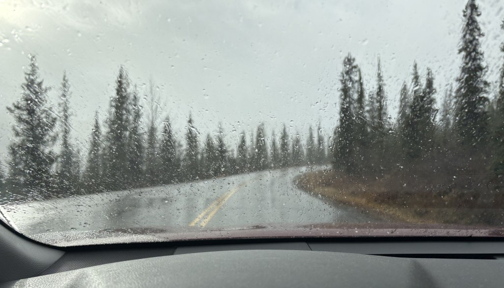
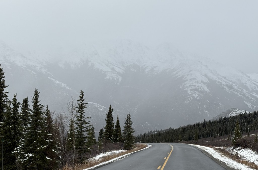
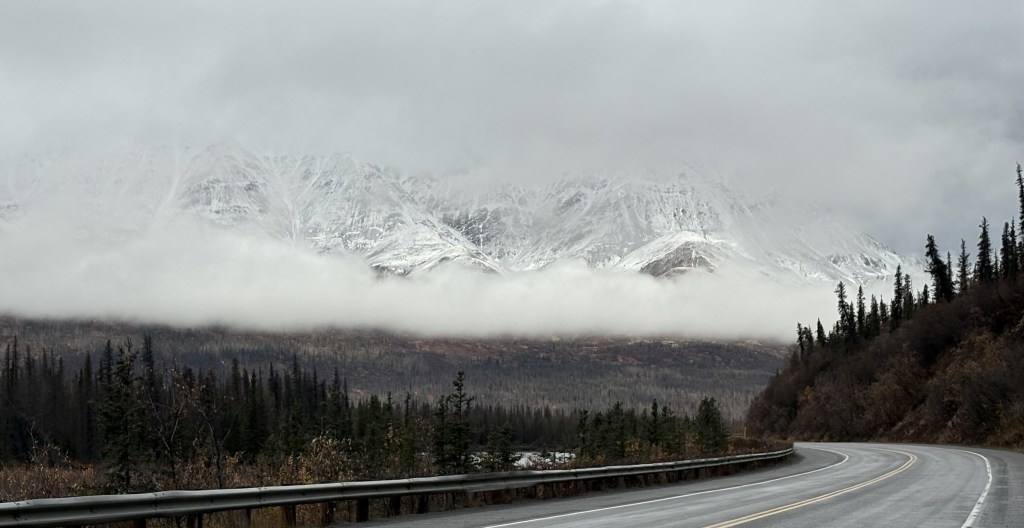
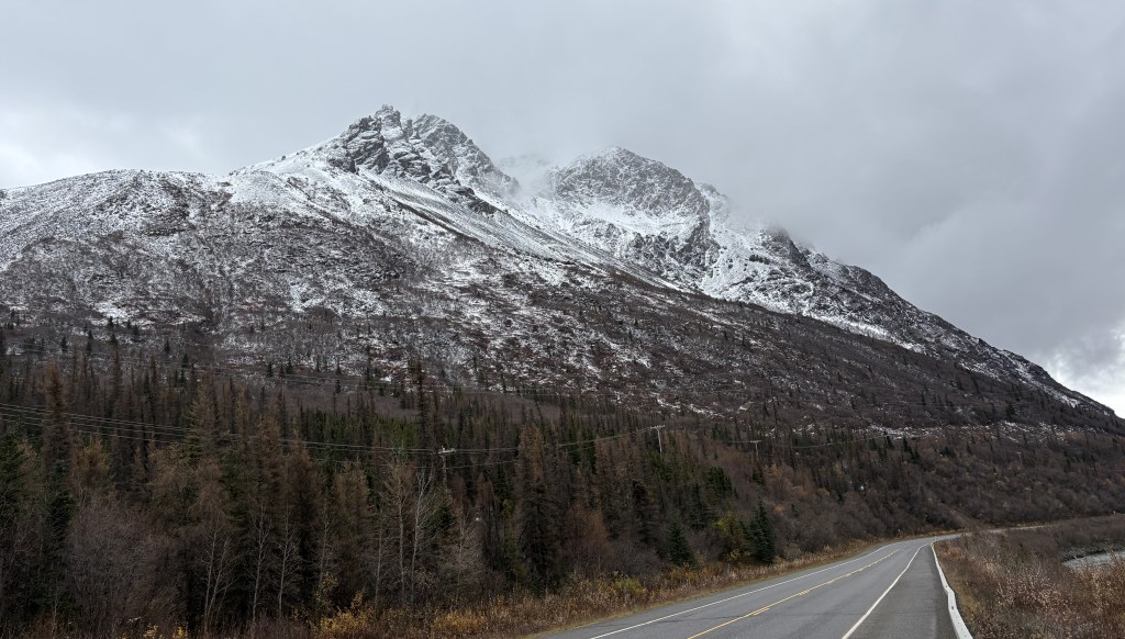
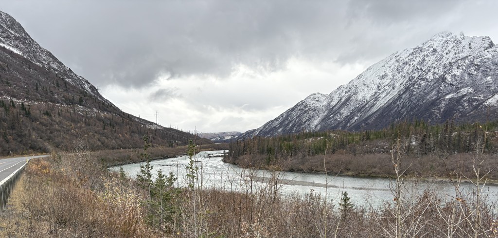
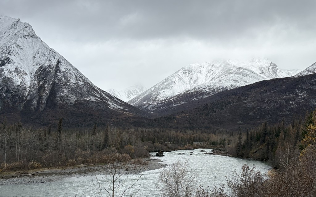
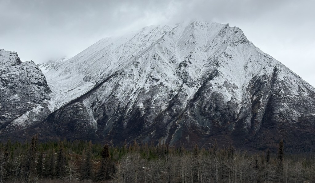
I should probably have titled this post Cantwell to Denali National Park because on the stretch of road between Wasilla and Cantwell I couldn’t see anything more than a mile away in any direction because of low clouds. Not fog, exactly, but the clouds just came right down to the ground about a mile away from wherever I was. I’m glad that I had better weather when I came up here about 2 weeks ago and got those photos when I had the opportunity. I didn’t even stop at the southern viewpoints of Mt. Denali itself as I knew I wasn’t going to see anything.
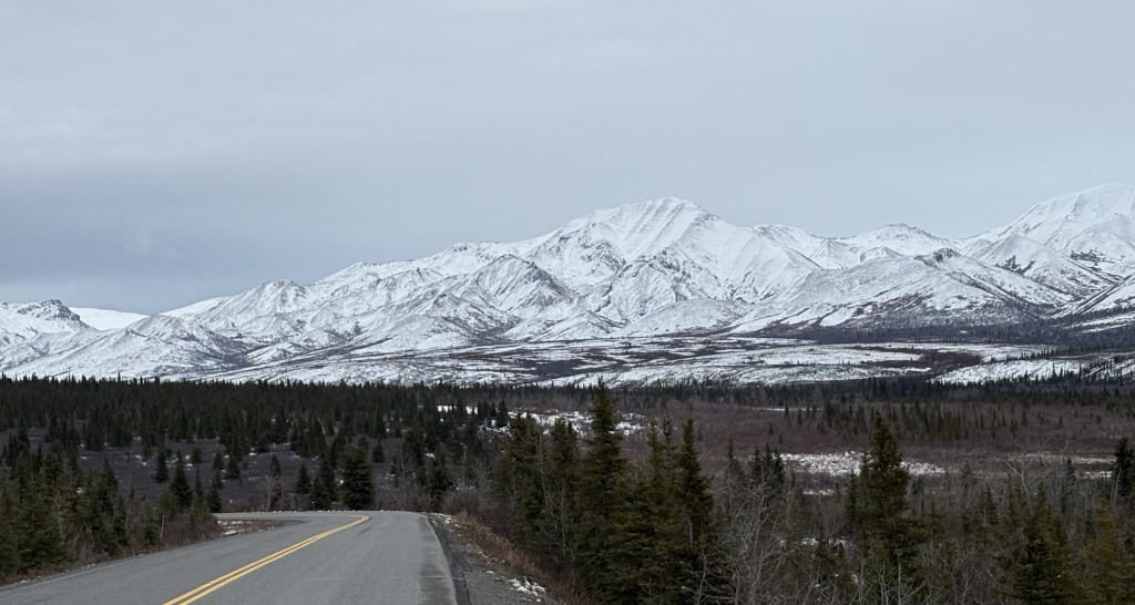
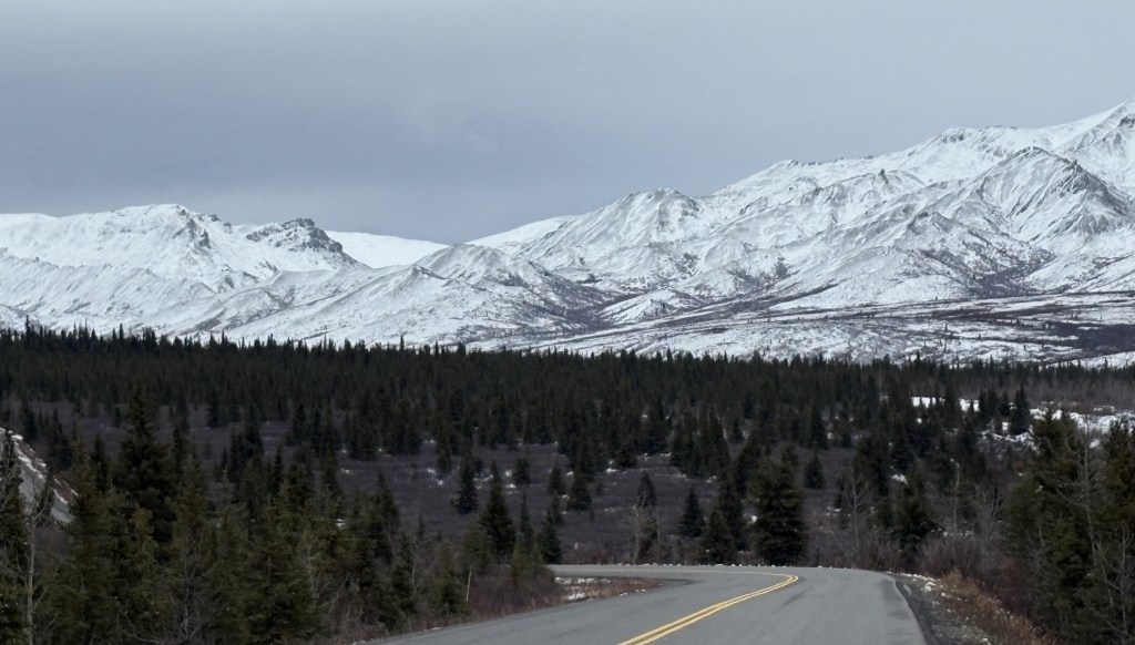
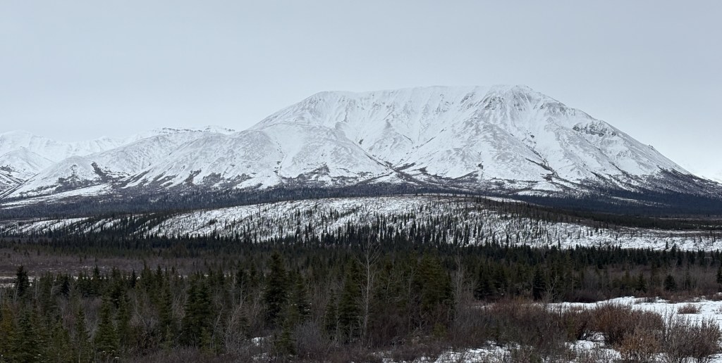
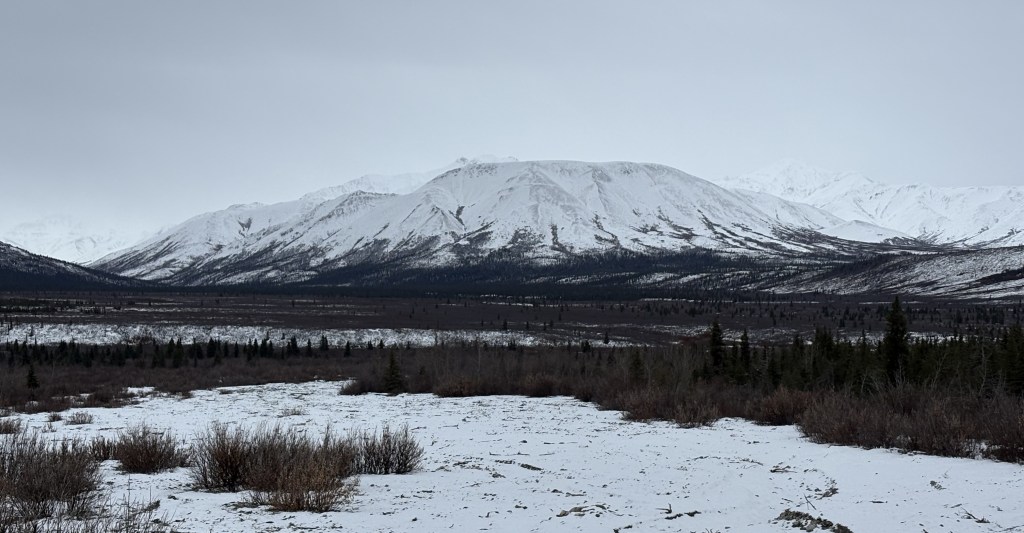
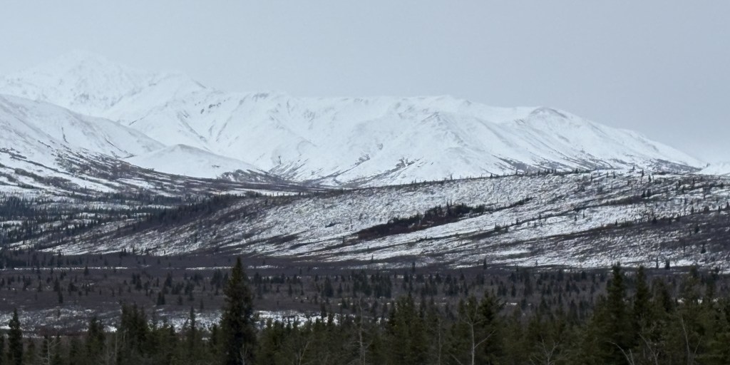
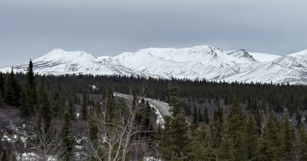
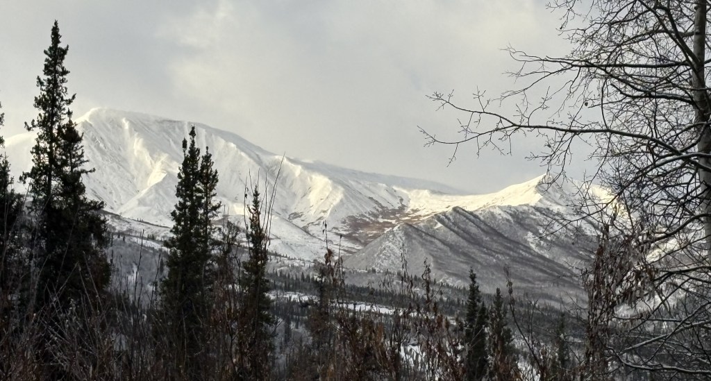
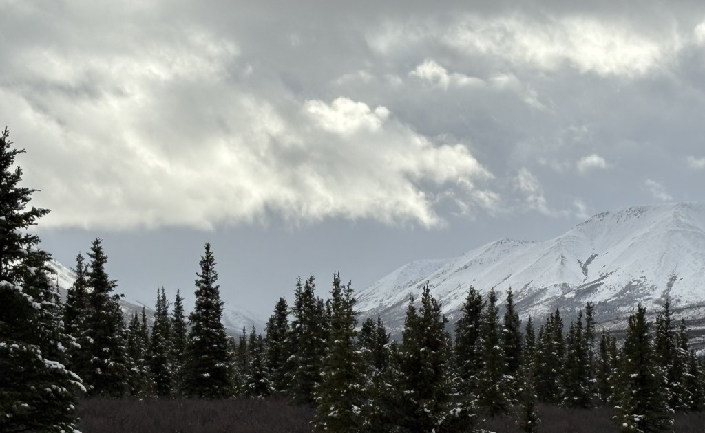
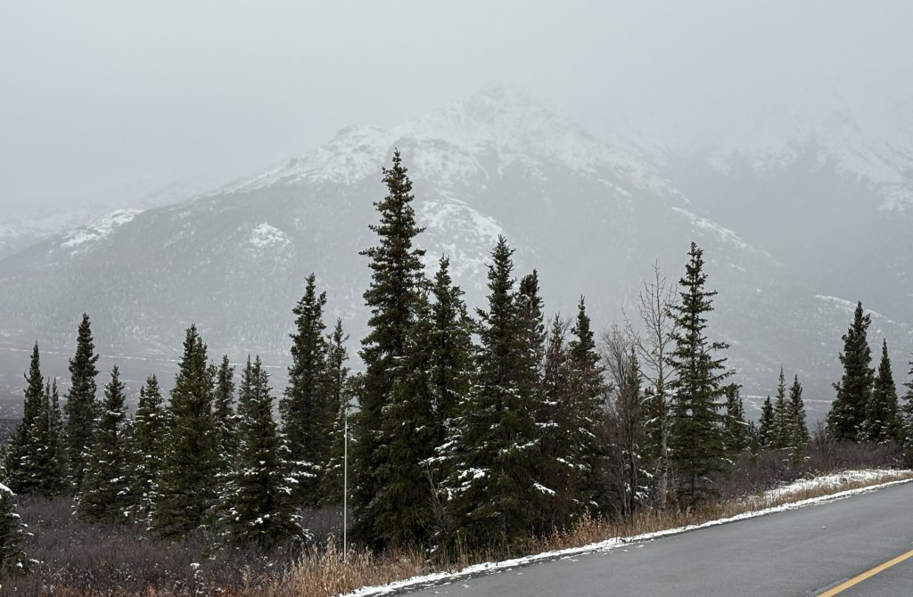
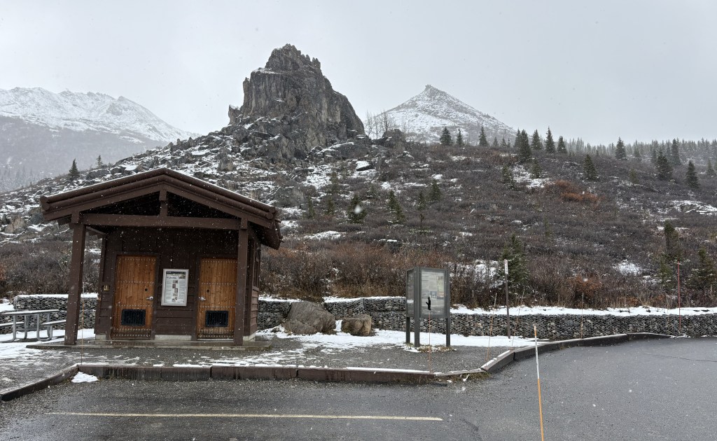
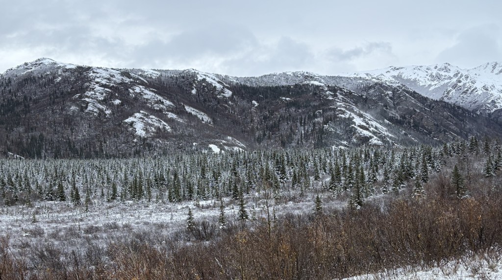
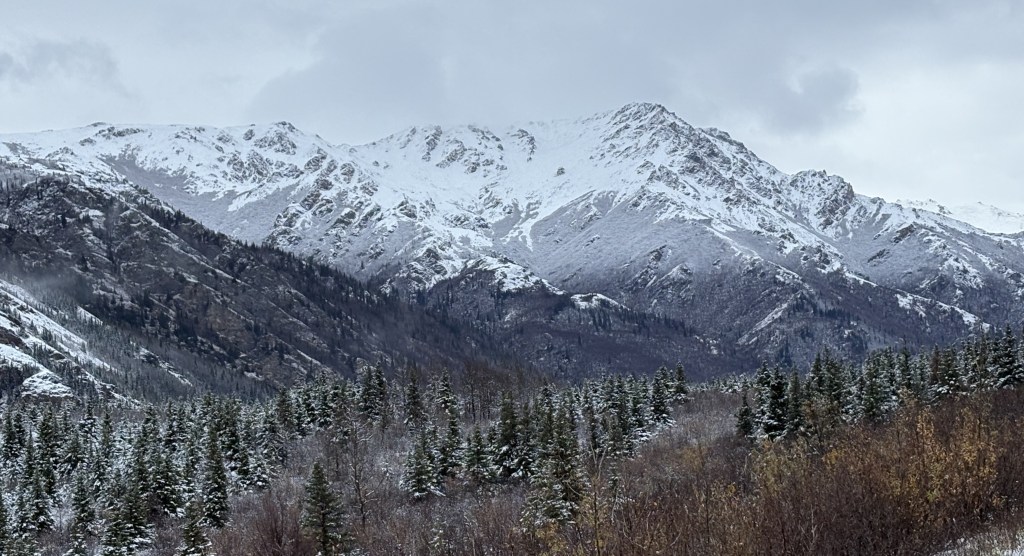
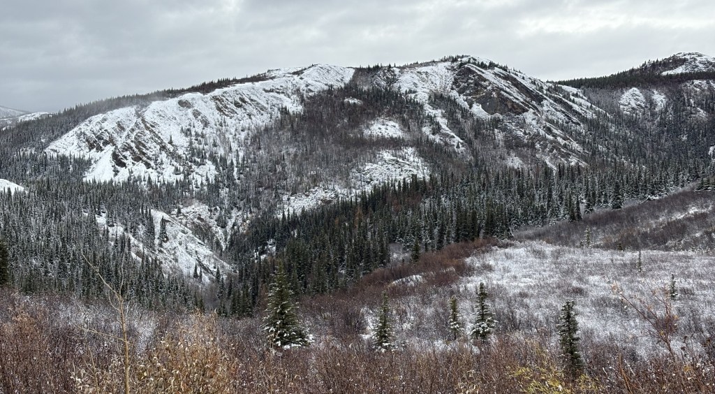
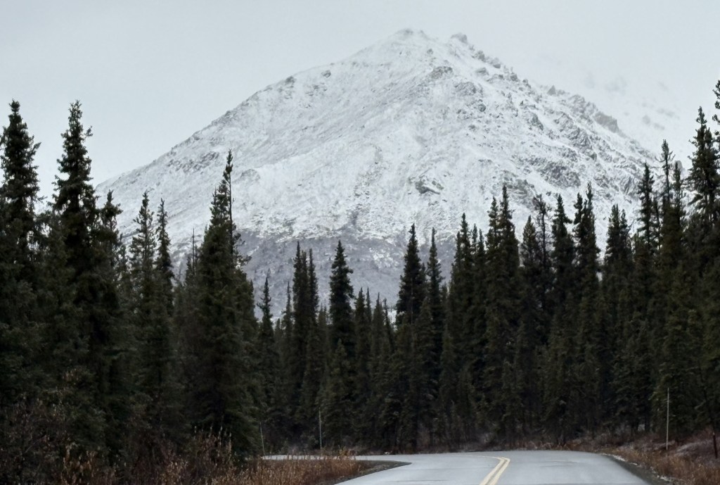
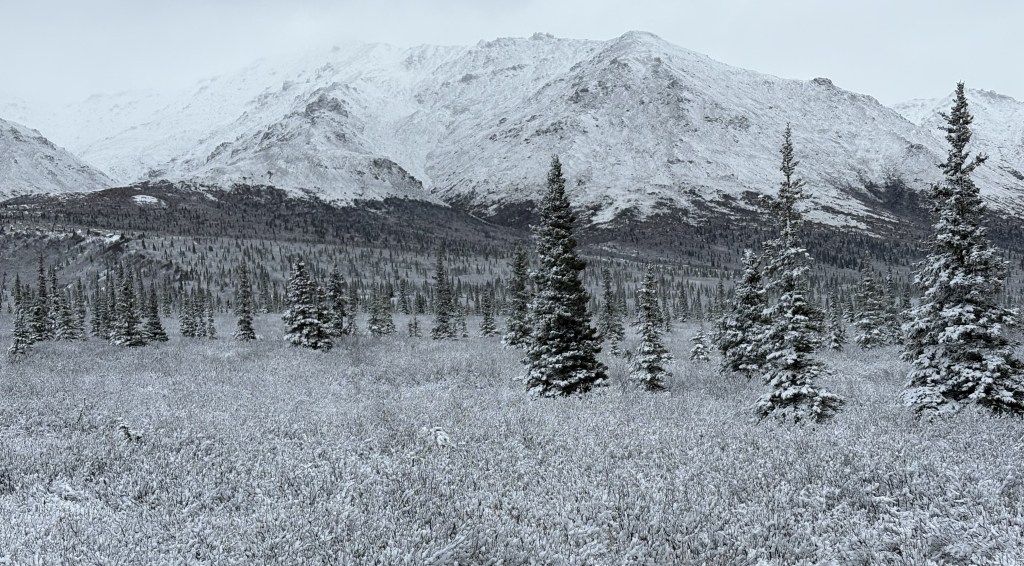
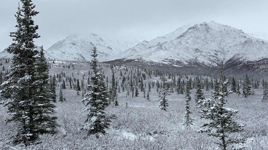
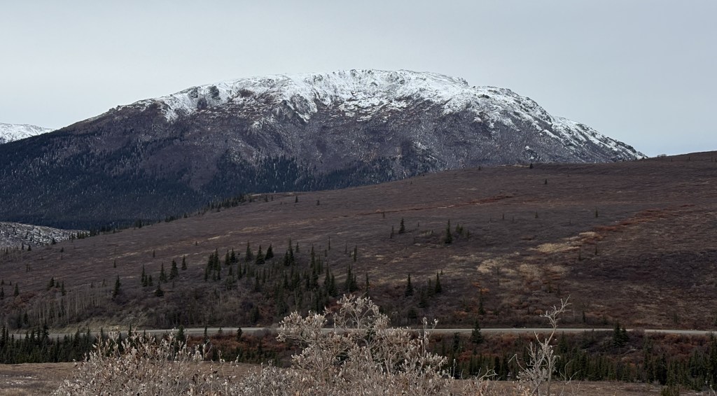
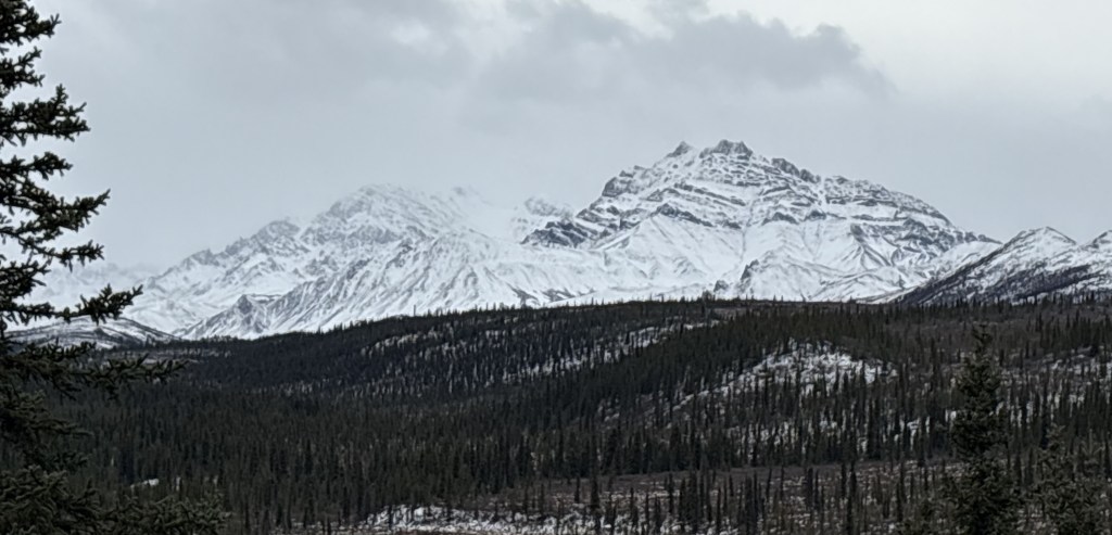
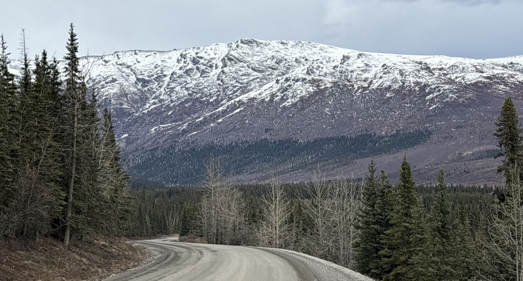
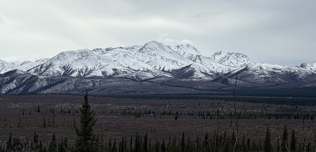
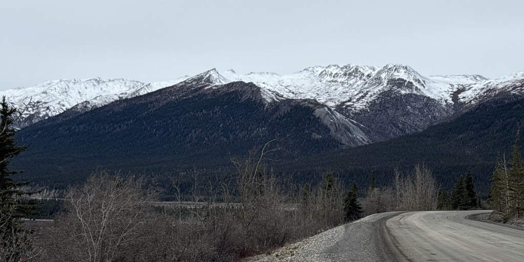
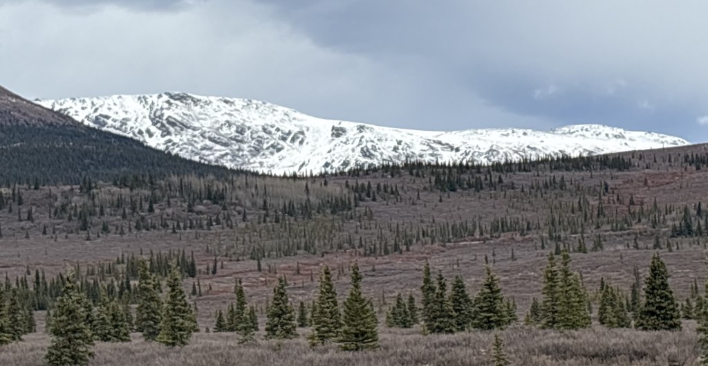
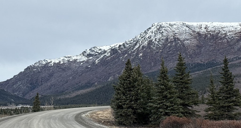
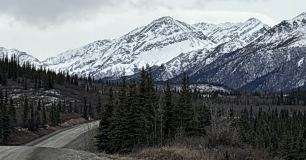
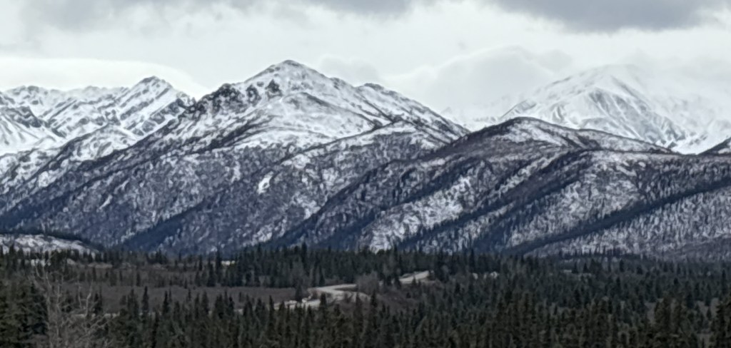
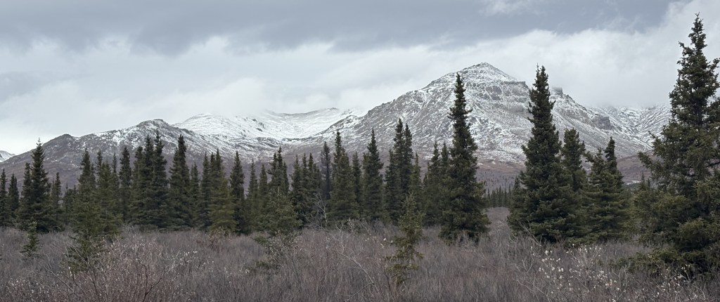
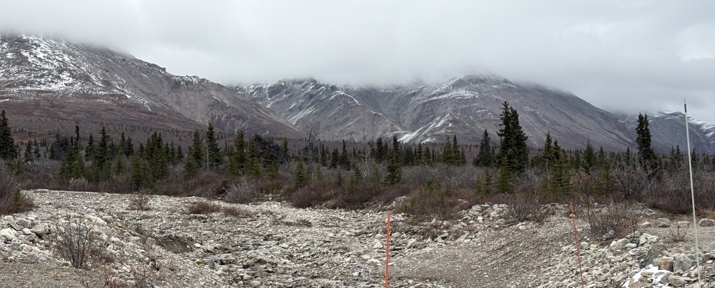
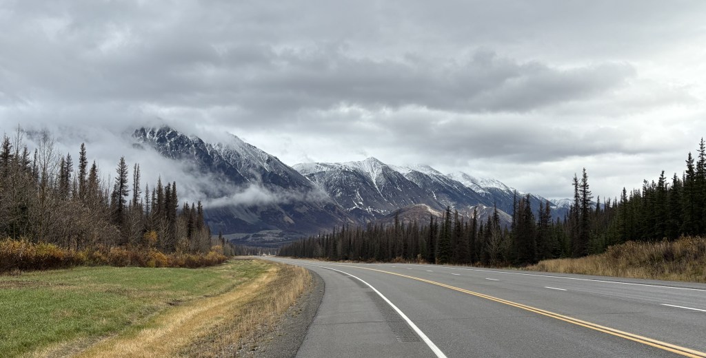
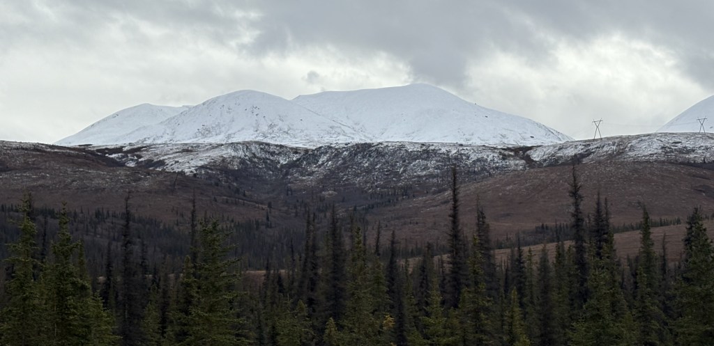
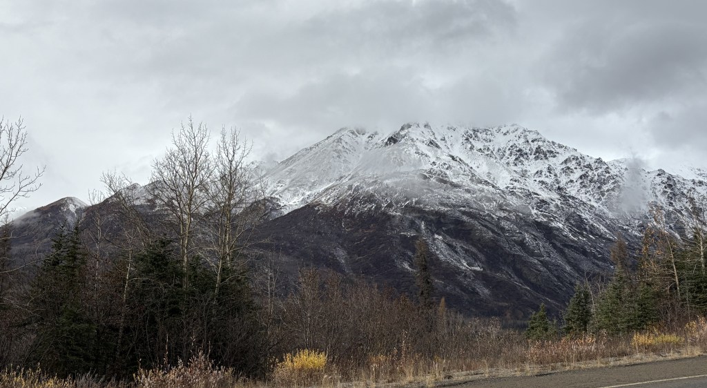
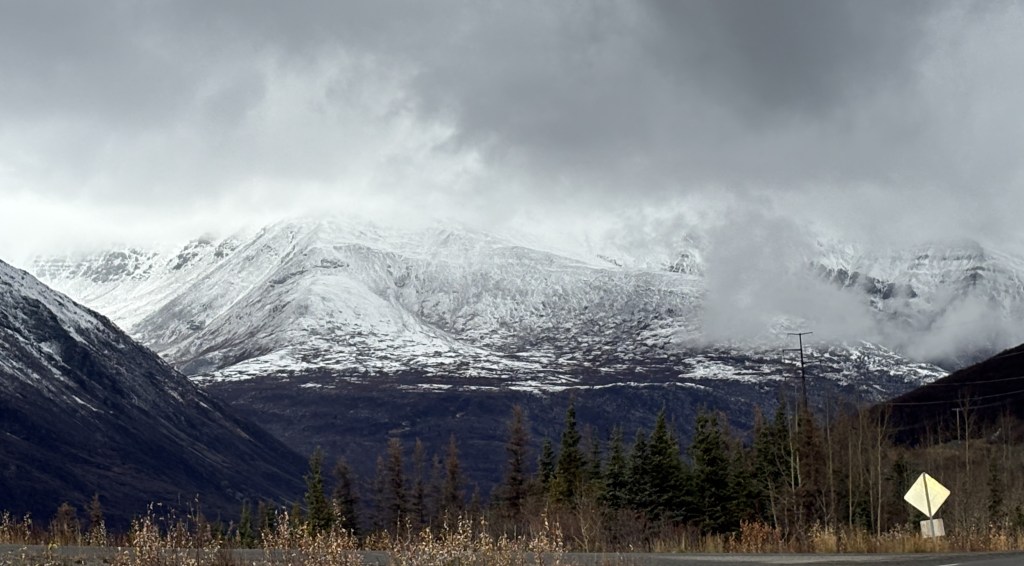
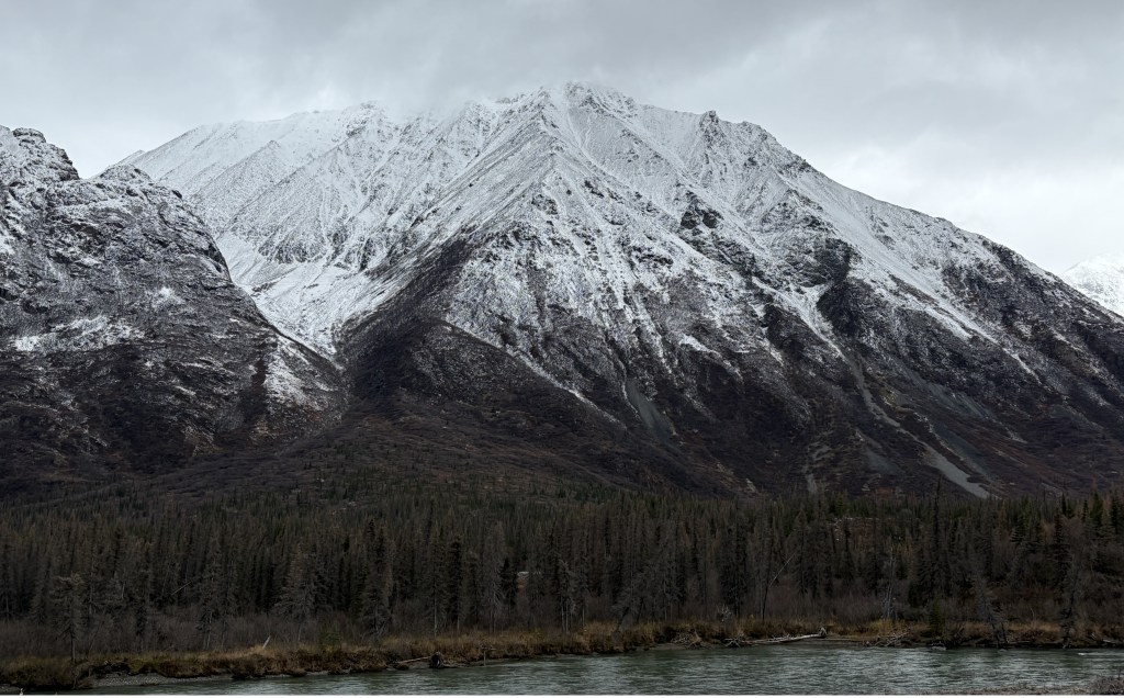
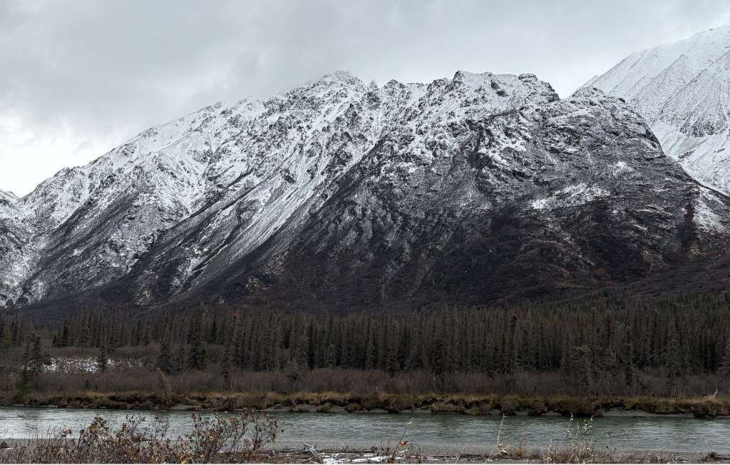
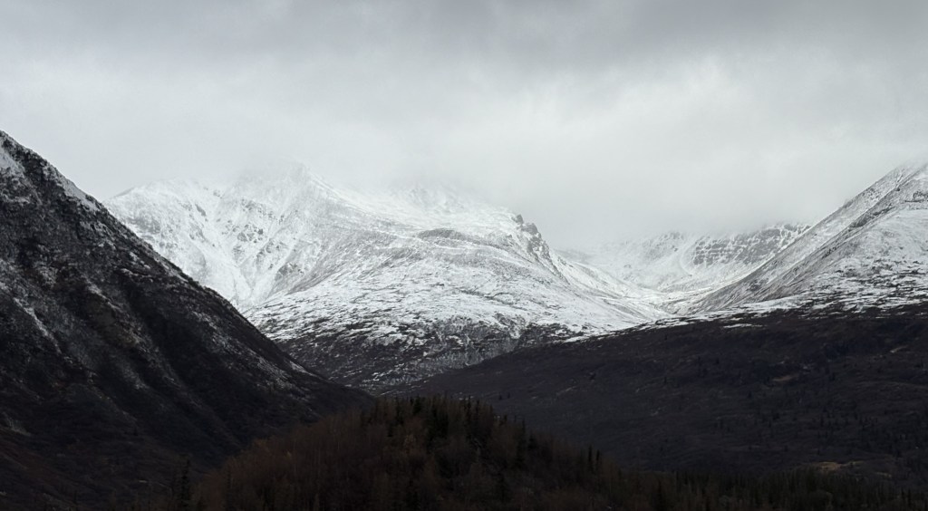
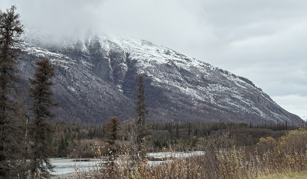
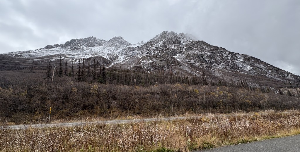
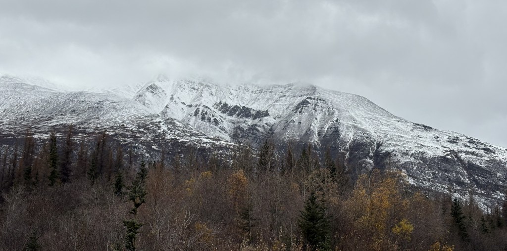
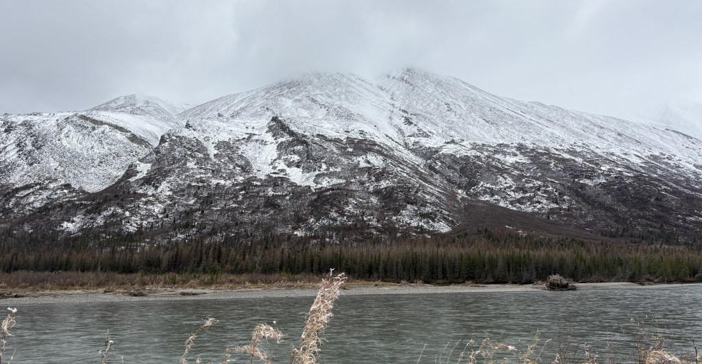
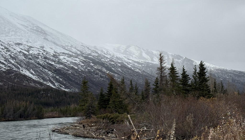
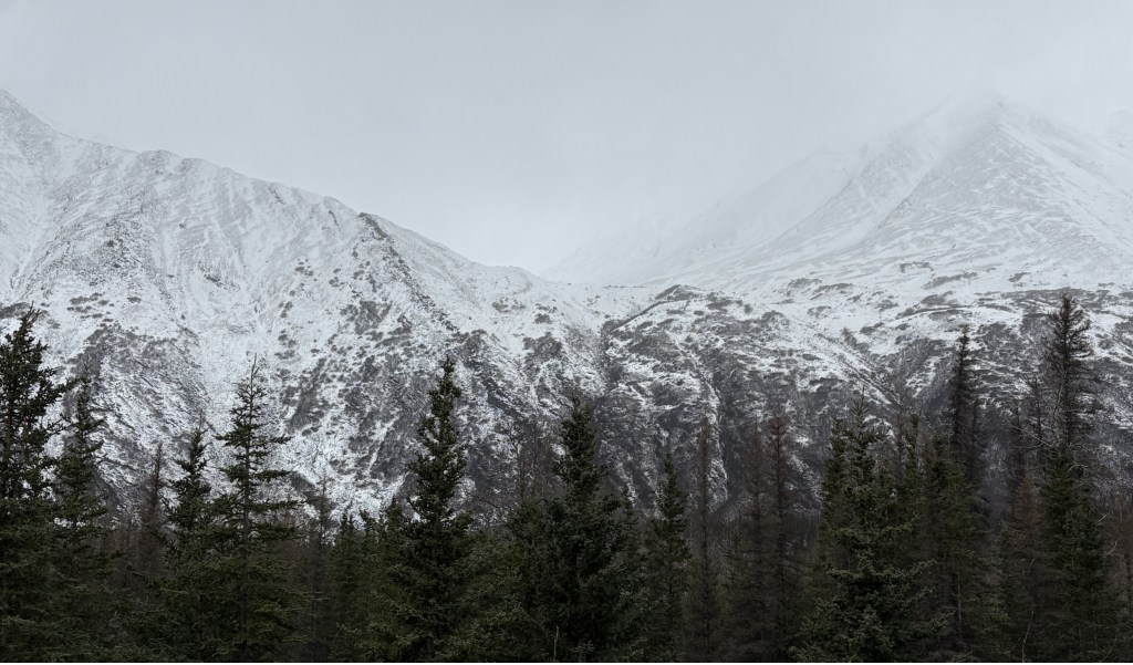
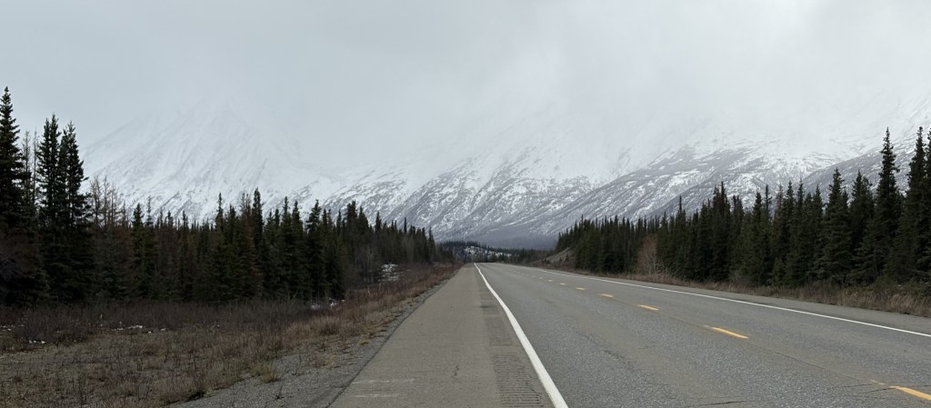
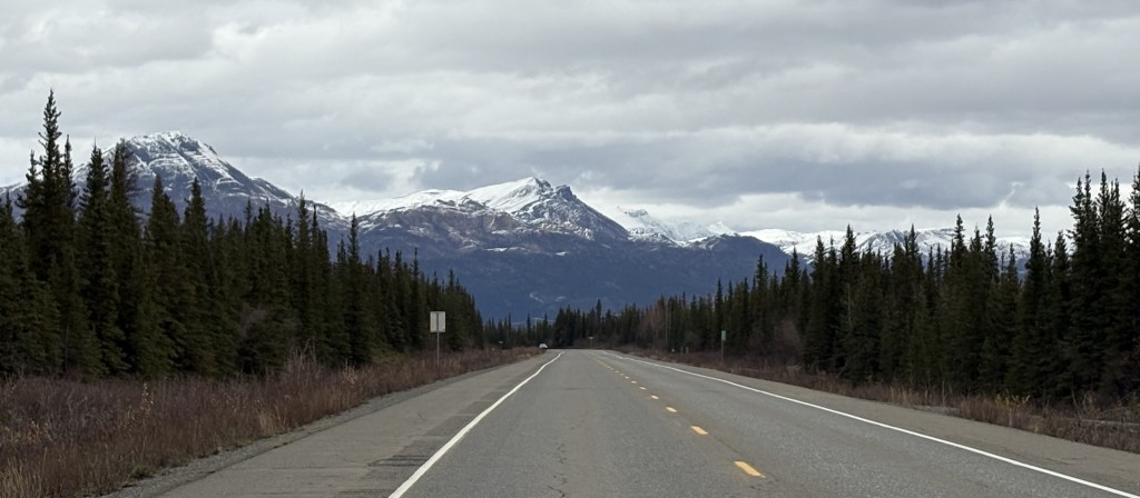
Cantwell is about 30 miles from the entrance to Denali National Park. I am surprised how many pictures I took in that relatively short distance. I am sure I took some the first time I drove up this far, but now the mountains had a coating of snow which made them look very different.
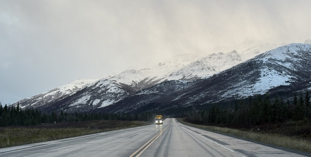
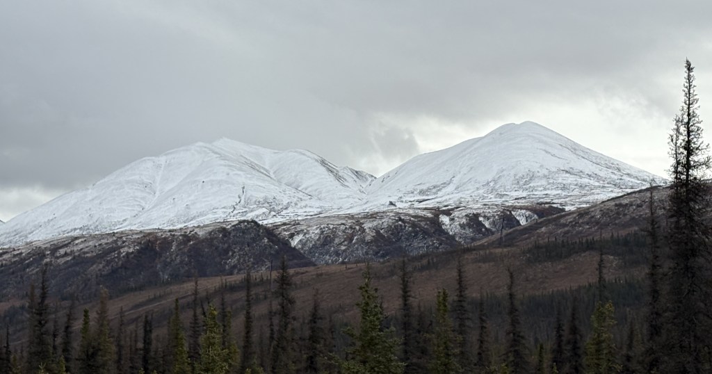
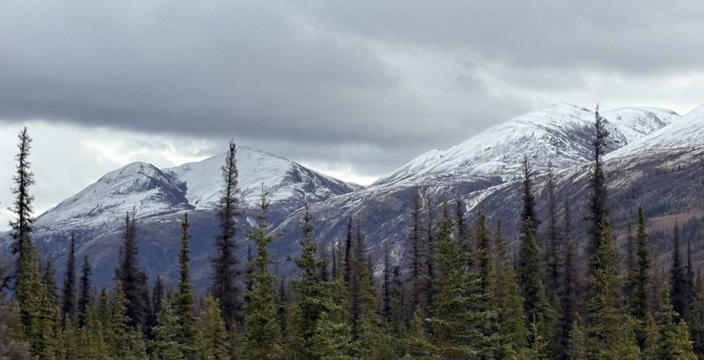
Here are some of the things I saw as I drove the rest of the way to Denali NP.
This was probably the first time today I had seen anything above the low clouds. After Cantwell the low clouds went away fairly quickly.
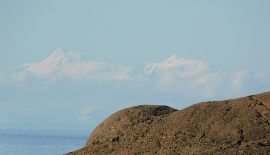
The final leg of today’s journey will take me through Anchorage to continue northeast to Wasilla. There won’t be anything for you to see in between, but before I left the area south of Anchorage I spotted what I believe is Mount Spurr, a volcano located about 80 miles due west of Anchorage.
I was at a parking area between the highway and the water, and with the clear sky I could see the tops of two mountains in the distance. I believe the one on the left is Mount Spurr.
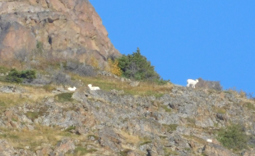
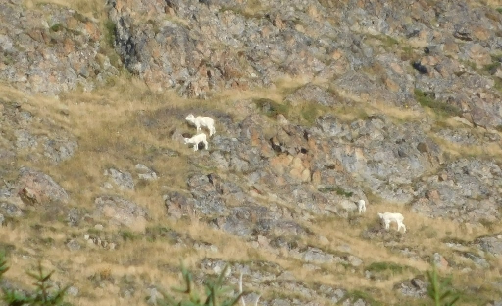
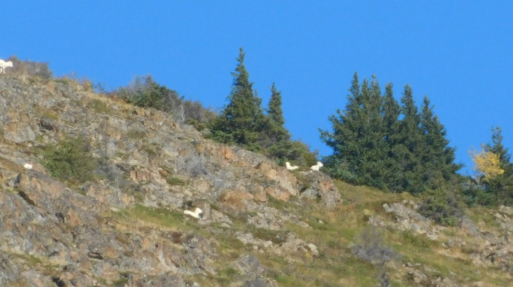
I was speaking with some of the other travelers who had stopped at the same pullout. One of them was using binoculars to look up a tall mountain across the road. She pointed out some white spots, and since I had my digital camera out I zoomed in and sure enough, she had spotted a bunch of mountain goats.
It was now getting to be mid-afternoon and I thought I’d better get through Anchorage before evening rush hour. Once you get through town it is an easy drive to Wasilla.
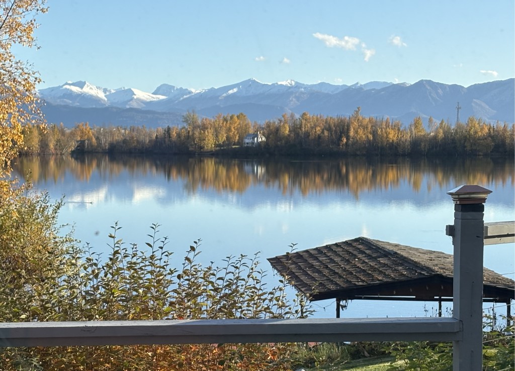
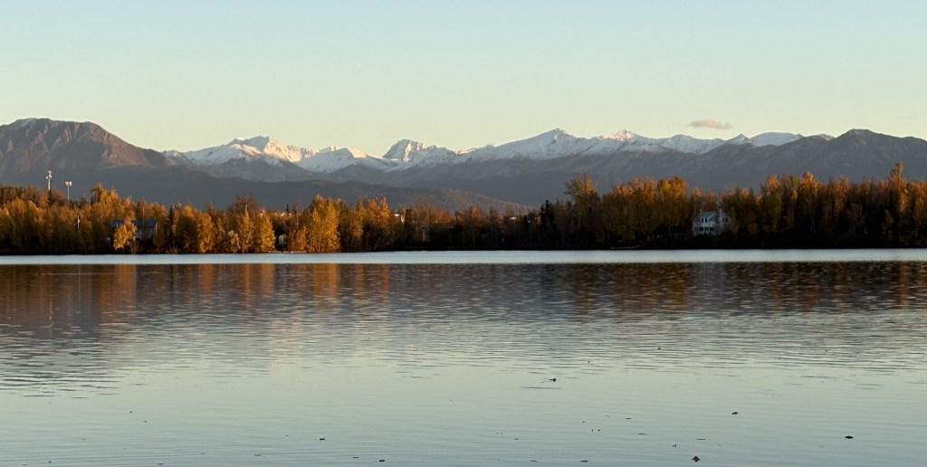
I checked in at my Airbnb, which was a short ways off the highway, overlooking a lake. This was the view from her back porch.
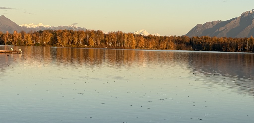
And from down near her dock, here are two photos looking at some other snow topped mountains in the distance.
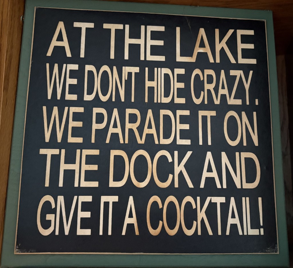
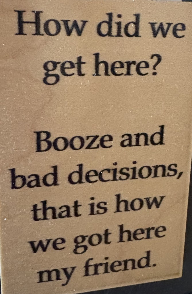
I was amused by two signs in her kitchen:
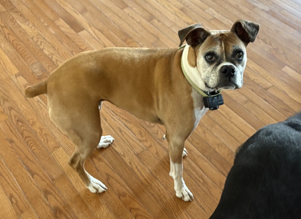
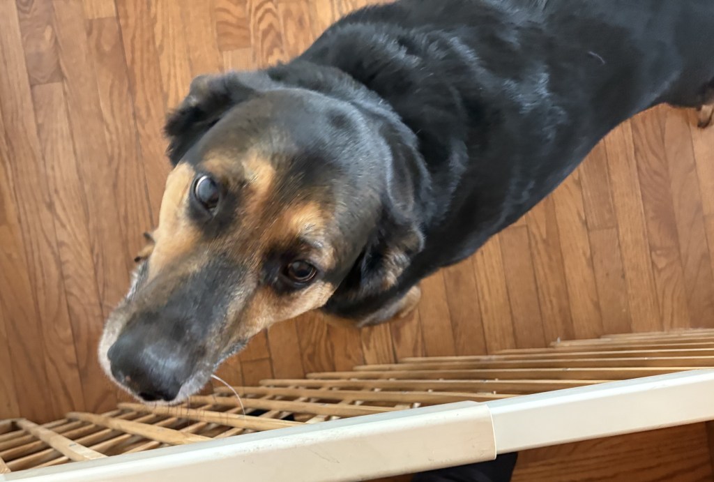
When I first arrived at her home I was greeted by her three dogs, who were behind a barrier in the living room.
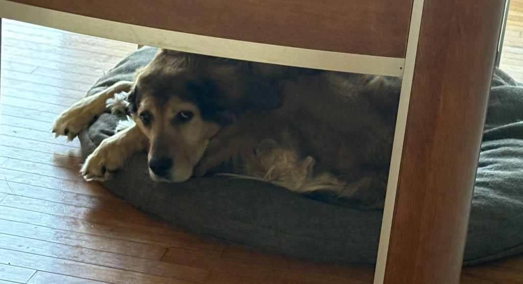
The one under the foosball table didn’t seem to be bothered but I learned later that she has trouble walking and tends to stay on her comfortable beanbag.