Thursday and Friday nights I stayed in the town of Rapid River, Michigan, in the south-central part of the Upper Peninsula of Michigan. I had stayed with the same people when I started using Airbnb back in 2015 and was delighted to see the listing was still available.
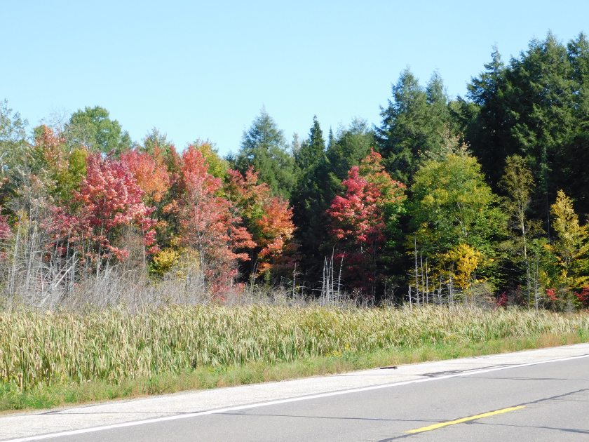
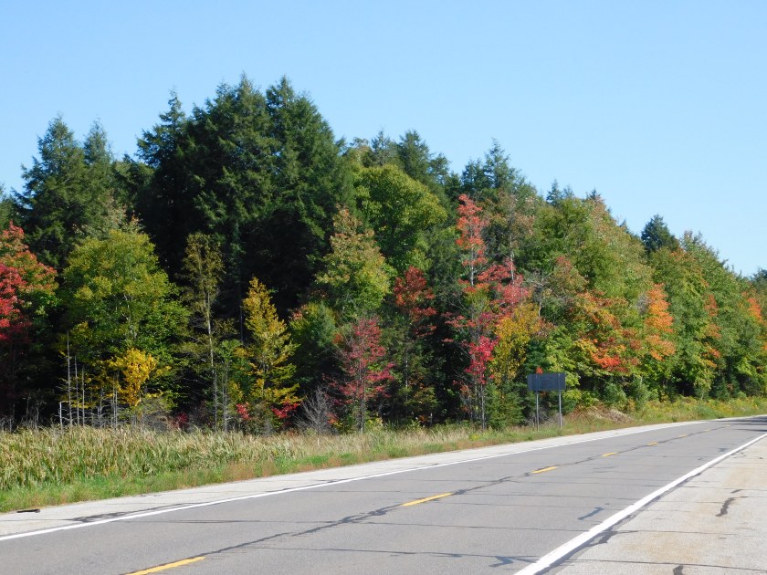
Friday morning I set out to drive on more scenic roads and maybe take more pictures of the changing leaves but mid-day decided to just go back and enjoy the property I was staying at. In addition to an incredible log home the property included access to a private beach. I sent this first picture to friends back home in North Carolina, which is feeling the effects of Hurricane Florence. I called this my “safe place:”

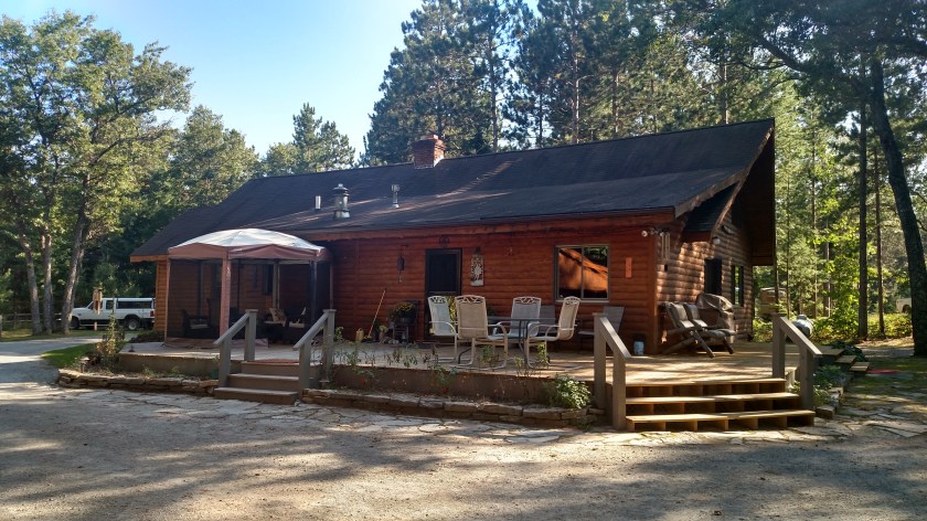
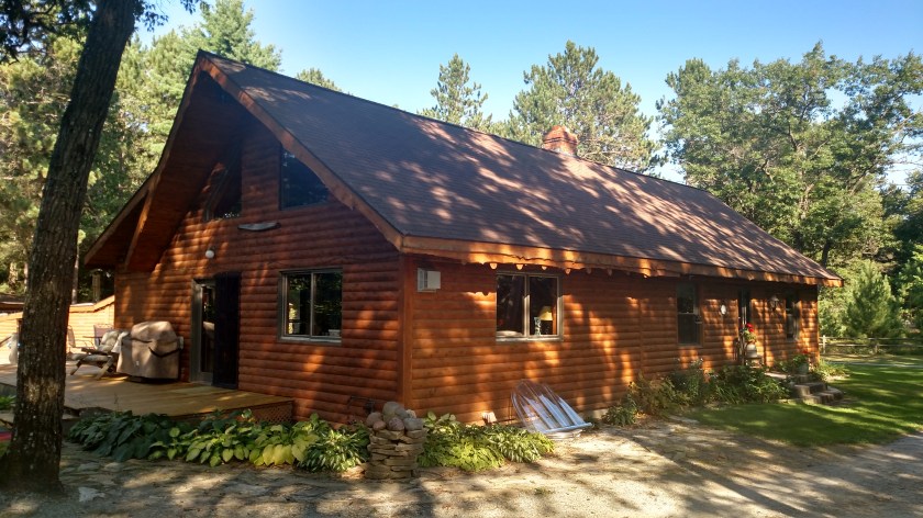
This is the home I stayed in:
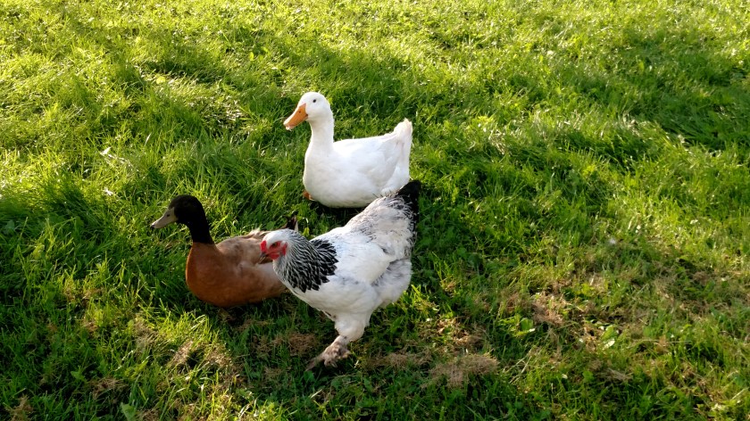
When I walked back up to the house from the beach I sat outside for a while waiting to see if I could get hummingbird pictures. I didn’t get any, but I did see a few hummingbirds buzzing around the property. One critter I did see was this black squirrel:
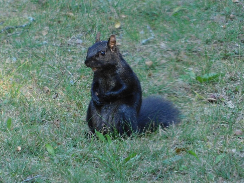
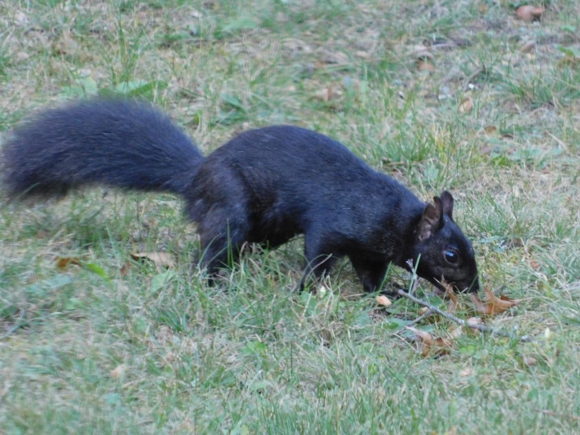
I had seen some black squirrels when I visited Michigan back in 2015. Back in North Carolina, up in the mountains near Asheville, is a town called Brevard which is one of the five places in North America where there are white squirrels. Not albino, just squirrels with a white coat.