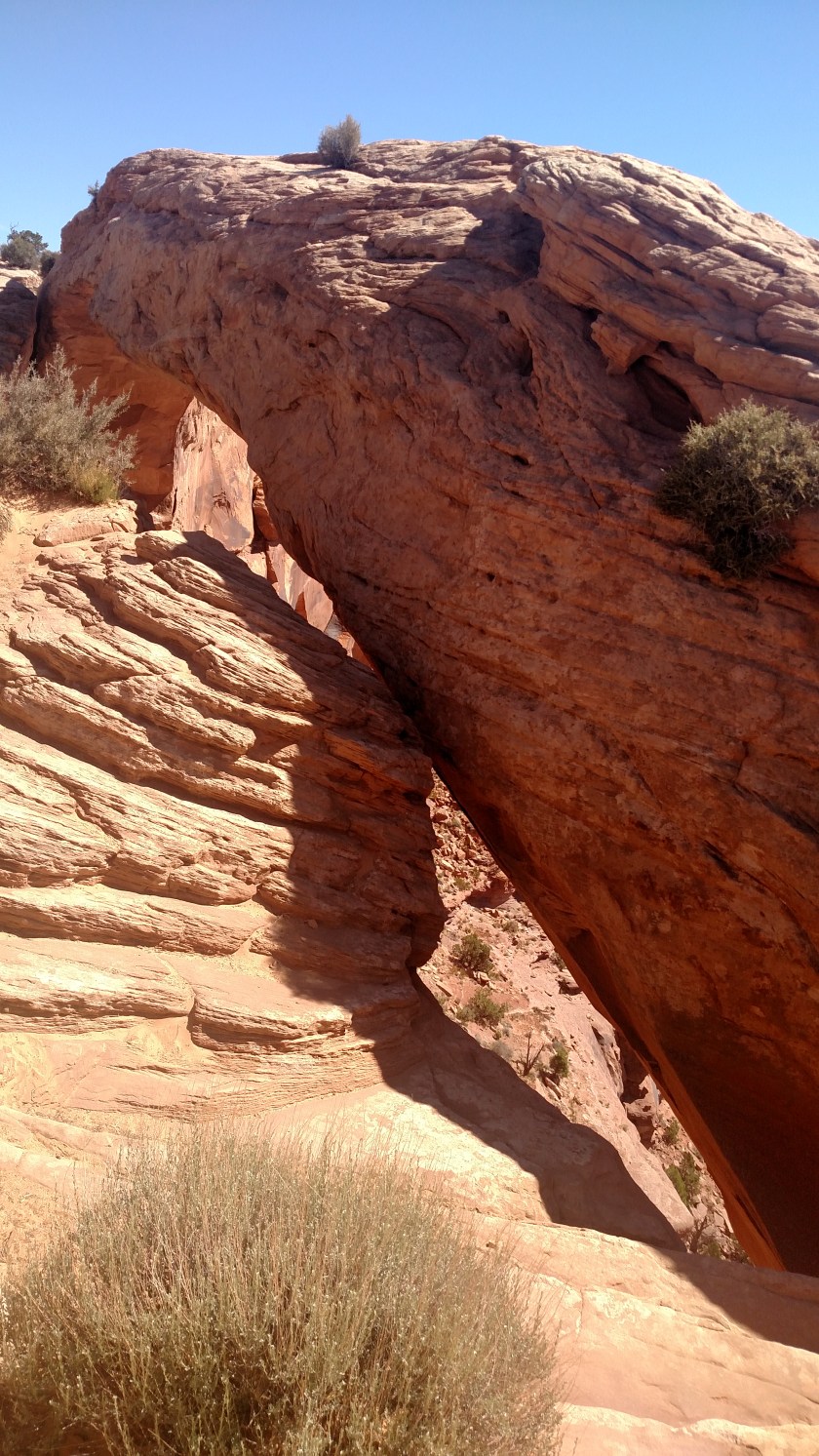
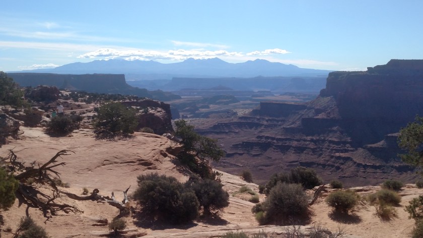
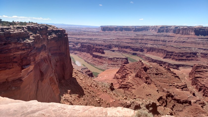
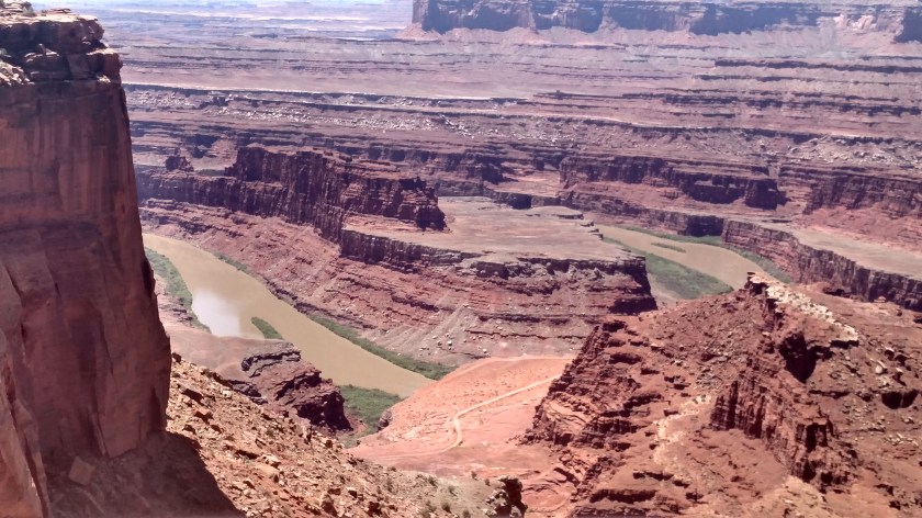
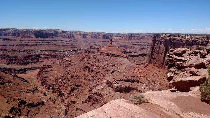
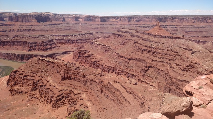
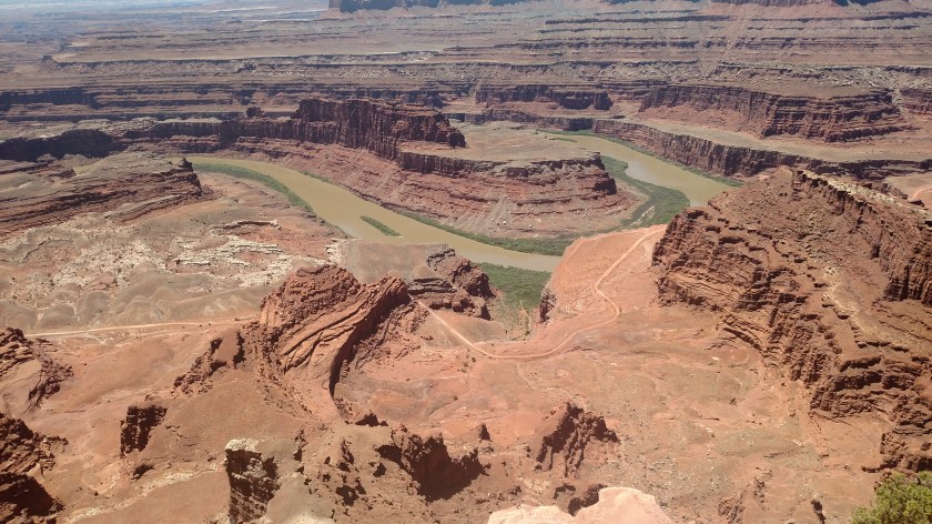
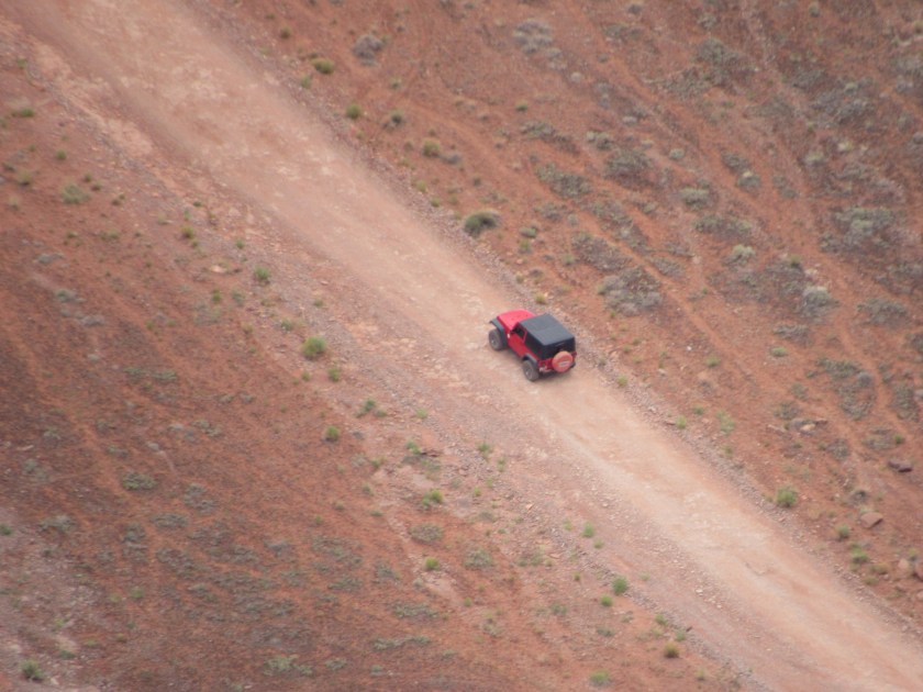
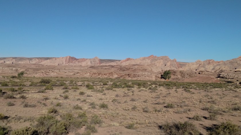
I am staying in Cedar City, Utah for a few nights and Wednesday I drove over to Bryce Canyon National Park, which is about an hour and a half away. As the crow flies it isn’t that far, but there are no direct roads – and I’m not a crow. More about that later! Fortunately all the roads that go that way are designated scenic routes so they made for an enjoyable trip. I spent some time in this area last year and had already driven these routes but it was nice to do it again.
In the little town of Hatch I was amused to see these two characters hawking the virtues of a small coffee shop (which surprisingly wasn’t open at 930 in the morning, although it was at 530 in the afternoon on my way home).
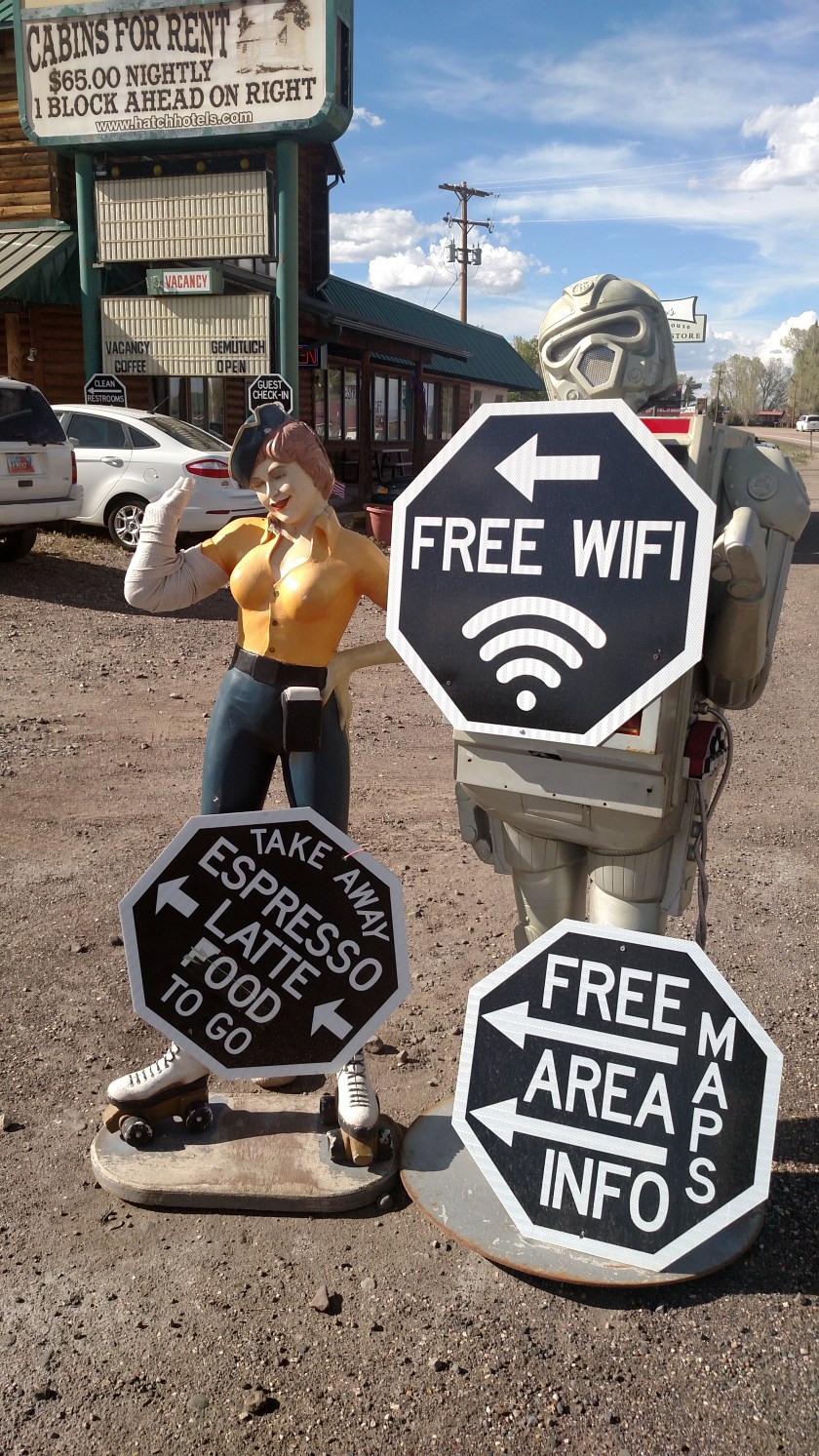
Sadly, the carhop had lost part of her right arm and it was wrapped in an ace bandage. Someone evidently took her hand and the tray she had probably been holding…

I also passed Navajo Lake, and I noticed a fun fact on the sign at the overlook saying that one of the longest lava tubes in the United States starts at a nearby campground, runs under Highway 14 (the road I was traveling on) and past the little town of Duck Creek, and they are still trying to find out how much longer it is. Further down the road I did see several lava fields on both sides of the road. I found this particularly interesting, given the recent events in Hawaii.
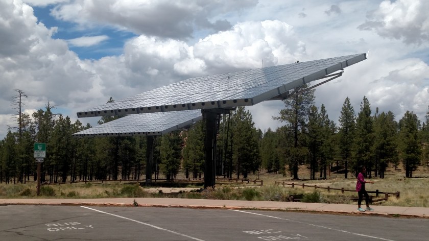
When I got to Bryce I parked in a Shuttle Bus lot outside the entrance (parking lots at the most popular overlooks are small and fill up quickly). I rode one of the free shuttles into the Park and got off at the first stop – the Visitor Center. I had been this far last year, but for various reasons only had time to get a map and leave. Outside the Visitor Center are two of the largest moveable solar panels I have ever seen.
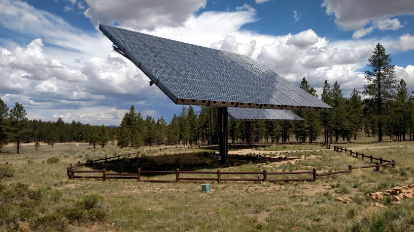
You can’t tell from the photos, but these are huge. I asked inside if they had any information about them and they did not. I looked it up online and found that they are 70 feet wide (about the length of an average 18-wheeler) and 53 feet high. They move to follow the sun during the day. Here is how they were positioned before I left the Park to go back to my car (from a slightly different vantage point but still looking basically the same direction).
The majority of the Shuttle Buses only run to the most popular overlooks, close to the Park entrance. After I had spent time at all those stops I went back to get my car and drove through the Park to the overlook which was furthest away, then worked my way back towards the entrance, stopping at all the overlooks I hadn’t been to yet. Despite the fact that is now past Memorial Day, the Park wasn’t very crowded and it was a very pleasant day. At one of the stops there was a raven sitting on a fence post, patiently waiting for food.
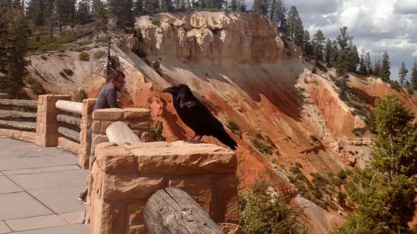
The photo creates an optical illusion. The man in the photo is standing on the other side of the next fence post, further away from me. The raven was big, but he wasn’t THAT big! As I learned at the Grand Canyon last year, ravens are a member of the crow family but are about half-again as big as a normal crow. This raven was very used to people and happily posed for selfies and other group photos. He is probably on blogs and Facebook pages all over the world.