August 10, 2025
After two days of driving to several National Parks I decided to stay in Golden for the day. I knew there were some things here to see, needed to do laundry and wash the car, and just decided to stay close to “home”.
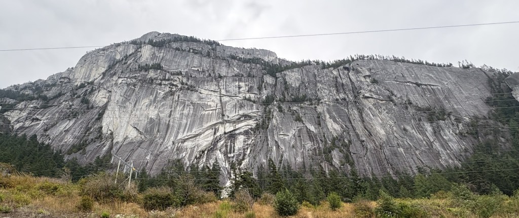
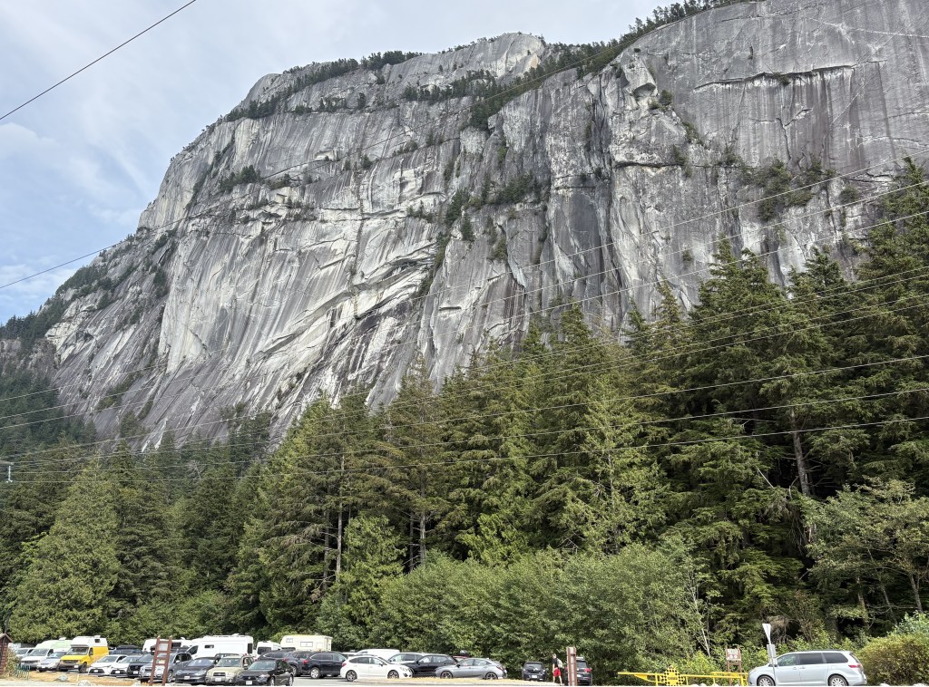
Golden is a small town but is strategically located for my purpose. It sits at an elevation of about 2,600 feet and has a permanent population of about 4,000. There is a ski resort which brings in lots of visitors during the winter, but many people (like me) probably stay here during the other seasons because it is located just outside Yoho National Park and is relatively close to five others.
My Airbnb was located just north of town and every day I drove past another one of the major tourist draws – the Golden Skybridge.
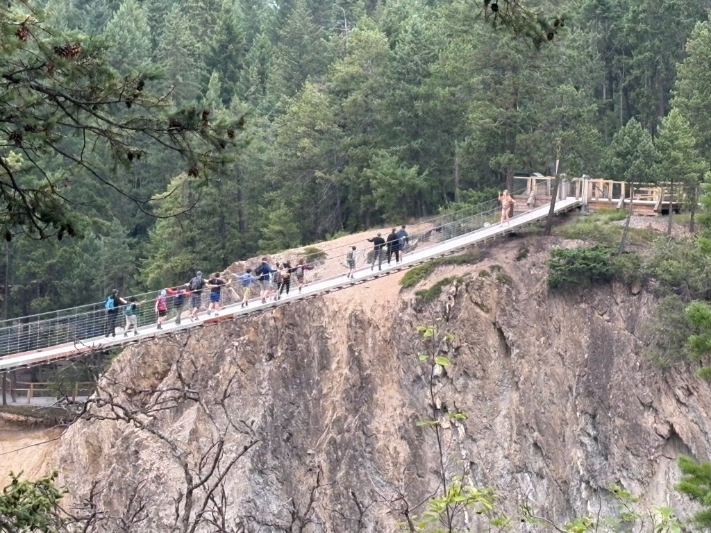
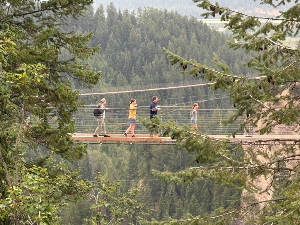
It’s main attraction would be the two suspension bridges, one 492 feet long and 426 feet above Hospital Creek (that alone would probably prevent me from walking out on it, never mind my fear of heights). The smaller one is 459 feet across but “only” 262 feet high. They are the highest suspension bridges in Canada.
There are lots of other activities to engage in which would appeal to adults and children alike. The cost depends on how many of those activities you want to participate in, but I’m sure lots of people think “hey, we’re here… why not?,” especially if they have kids. As I mentioned, I drove past it every day and, with the exception of early morning before it opened, the large parking lot was always packed.
Another place featured in many brochures about Golden is the Kicking Horse pedestrian bridge near downtown. The Kicking Horse name is attached to many things in and around Golden, a river, a mountain, a mountain pass, and the ski area, among others. According to Wikipedia the river got its name in 1858 when a member of the Palliser Expedition was kicked by his packhorse while exploring the river and trying to rescue another horse from it.
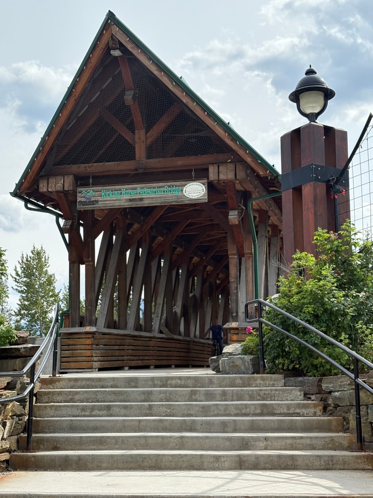
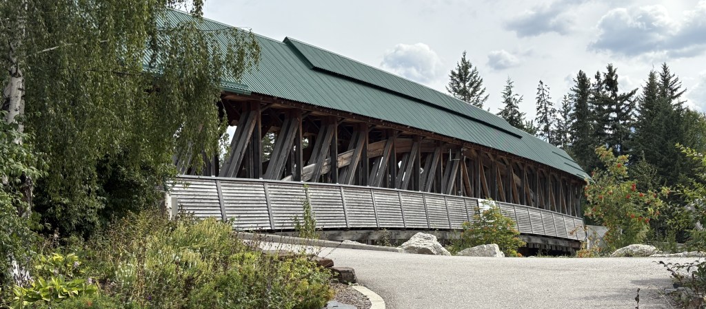
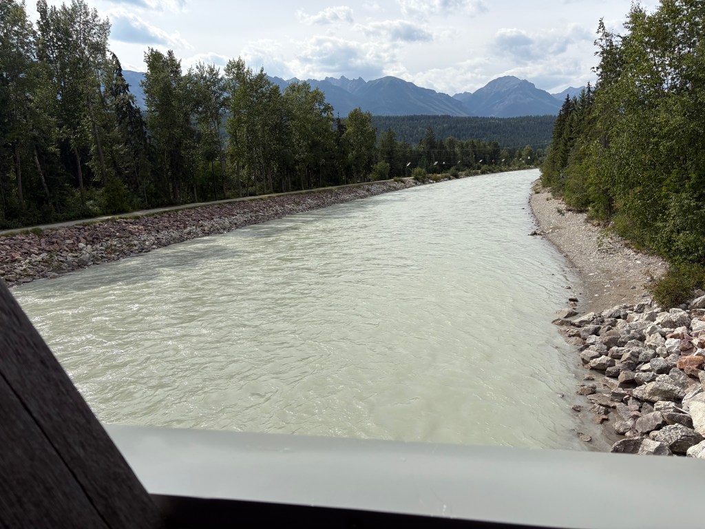
The bridge, the longest freestanding timber-framed bridge in Canada, spans the Kicking Horse River. The Kicking Horse river joins the Columbia River just north of the bridge, near the airport and Confluence Park.
Now I know what you’re probably thinking – “JohnBoy, you told us just yesterday that you saw the Columbia River next to the town of Revelstoke, more than two hours west of here”. That’s true, I did. Here’s the deal…
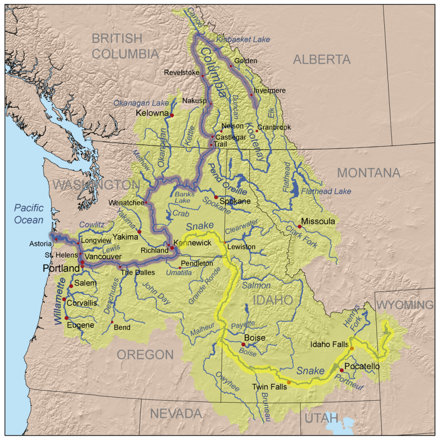
The Columbia River starts at a small lake (not surprisingly, Columbia Lake) near Fairmont Hot Springs, well south of Golden. I passed it as I drove from Cranbrook, in southeast British Columbia, up to Radium Hot Springs, before I turned off to drive through Kootenay National Park. It initially flows NORTH, parallel to Hwy 93/95, and after Radium Hot Springs continues to follow Hwy 95 up to Golden.
(Photo credit: Americanrivers.org)
After passing through Golden it continues north past the Columbia Icefields, where it undoubtedly picks up a lot more water, and continues north until it gets near Mica Creek, where it changes direction and starts heading SOUTH. It will then flow past Revelstoke and continue on down to Castlegar (which you will see when I post photos from there later in my trip). It continues south into Washington State, eventually passing through the Coulee Dam, past Wenatchee, WA on down to the border between Washington and Oregon, where it then flows west, forming the Columbia River Gorge, and eventually out into the Pacific Ocean.
I have more things to show you from in and around Golden and will share them in the next post.