Getting to Denali NP – Part 2 of 2

September 19, 2025

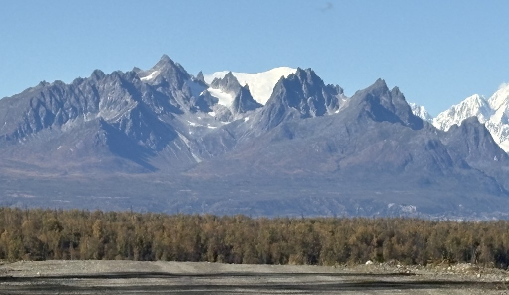
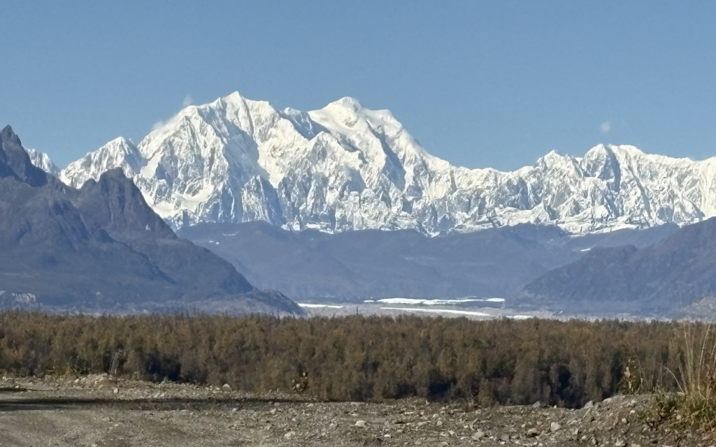
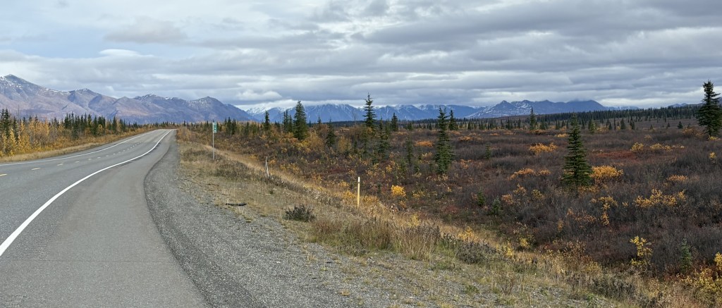
Here are more things I saw as I drove north on Hwy 3 from Talkeetna and the Denali Viewpoints towards Denali National Park.

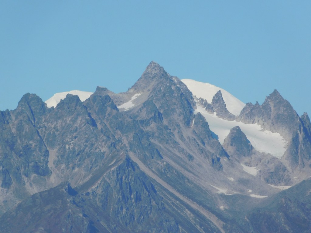
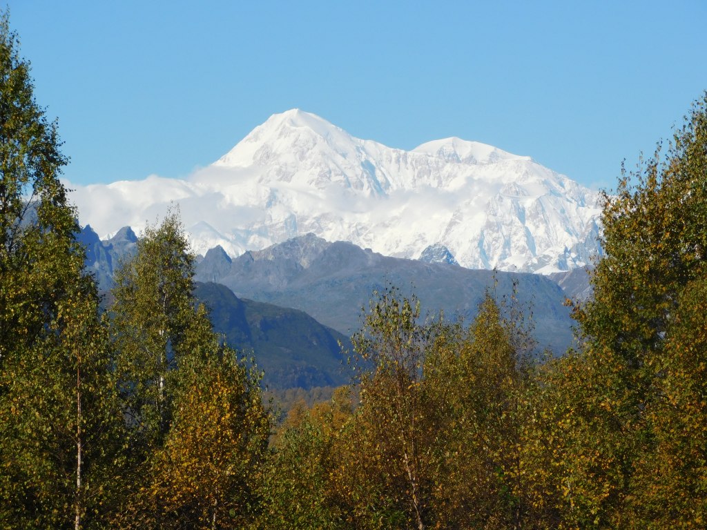
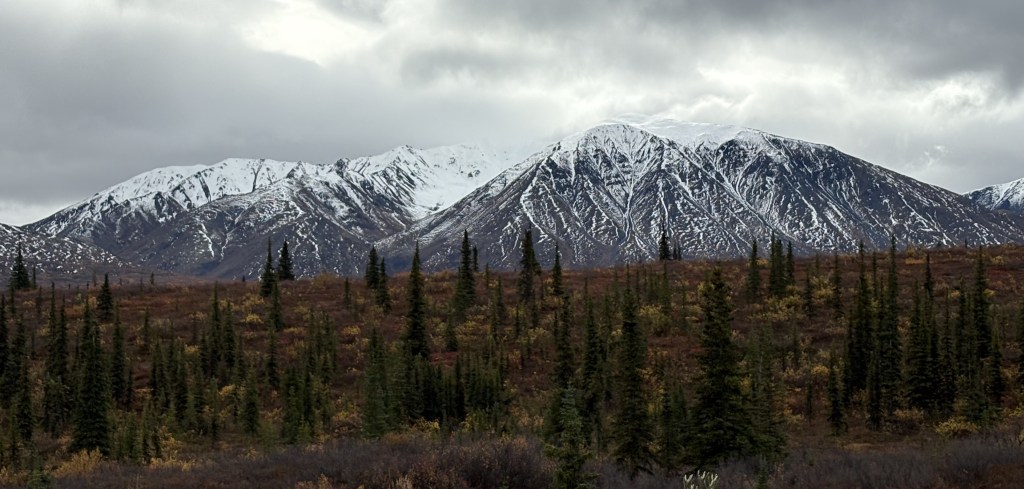
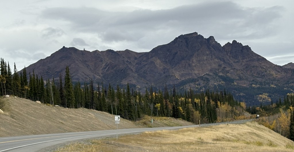
I am adding more lines of text here to try and make the photo below appear larger in the actual post.

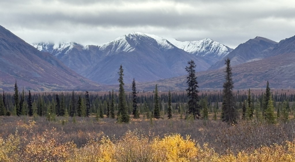
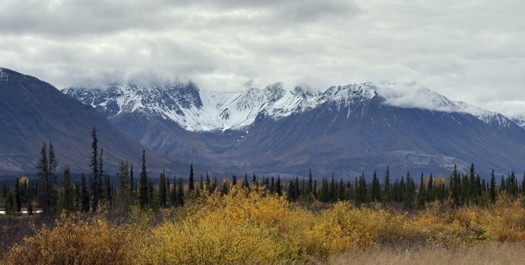
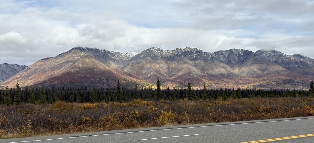
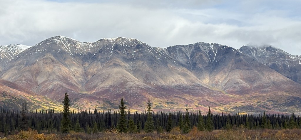
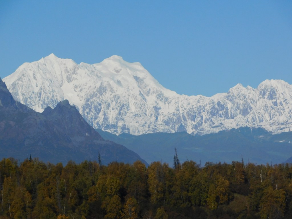
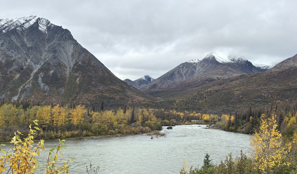
If you look closely at the two photos above you may notice that the ground at the base of the mountains is multi-colored. This was the first area where I noticed it, and it will continue to appear in many parts of Alaska. You will see better examples of the effect in future posts. I have determined that it is multi-colored vegetation. There are also some places where parts of the mountains themselves display various colors due to different kinds of volcanic rock, but the areas in these photos were all at low elevation and are definitely vegetation.

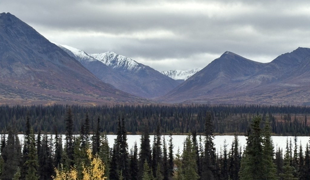
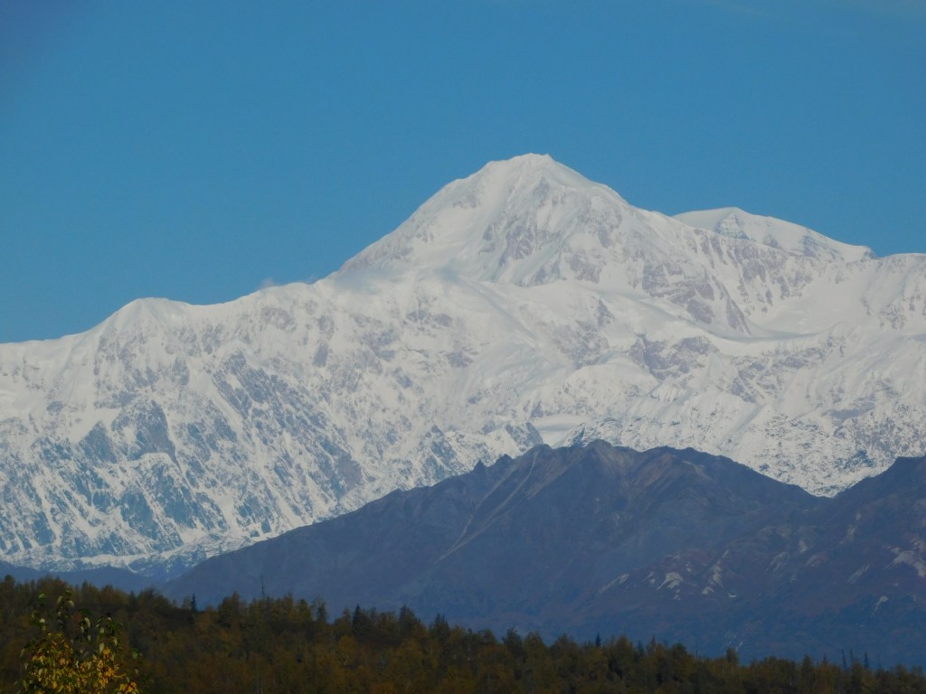
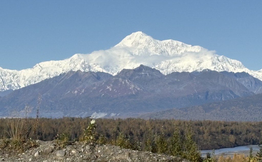
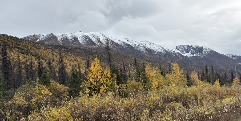
The photo above was taken as I was arriving in the little town of Cantwell. I am very happy that I took all of the photos in this two-part post up to this point today because when I travel this route again in about 2 weeks I wouldn’t have seen ANY of what I photographed due to extremely low visibility.

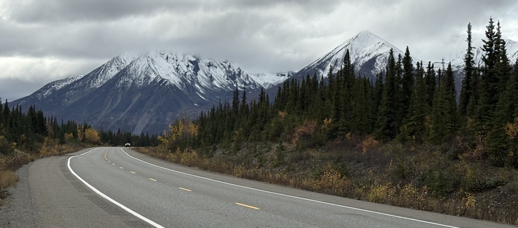
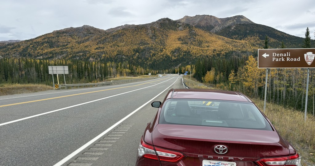
I finally arrived at the entrance road to Denali National Park. According to their Park map it is 120 miles further north to get to Fairbanks, and it is 237 miles south back to Anchorage.

My next posts will include photos from within the Park. I will only be here for about two hours today to pickup maps and get a feel for what to expect in the small part of the Park I will be able to access. I will explain further in my next post. I will have to leave later in the day because I still have a two hour drive to Fairbanks. When I return to the Park later in my trip to spend 3 1/2 days here I will be staying in Healy which is only about 20 miles up the road.

Mount Denali, et al – Part 2 of 2

September 17, 2025

These are photos taken at the Denali South Viewpoint. There were signs indicating which mountains I was looking at, how far away they are, and how tall the black mountains (without snow) in front of them are.

We’ll get Mt. Foraker out of the way first. I posted a photo taken from the side road at a higher elevation, which gave me a very good view (see previous post). This was the view from the South Viewpoint:

Not real impressive, eh? Despite Mount Foraker being 17,400 feet tall, the view was being blocked by a 5,150 foot tall mountain (which actually had a little bit of snow on it) much closer to the viewpoint, so you can only see two small parts of Foraker! Signage at the viewpoint indicated Foraker was 45.5 air miles away.

Hunter mountain was a little better. This was taken with the zoom lens:

Mt Hunter is on the left side of the photo above and is actually comprised of three peaks, South (left) at 13,967 feet. Middle (above the right peak on the black mountain) at 13,400 feet, and North (right, in the center of the photo) at 14,574 feet. The whole mountain is on an angle with the right side further away than the left side. Hunter is closer to the road but is still partially blocked by the smaller 4,205 foot peak even closer to the road. The signs at the viewpoint indicated that Hunter North Peak was 37 air miles away.

Here is my best shot of Denali, taken with my smartphone camera:

There will be another one from a little further up the road. Again, the main peak is at 20,310 feet elevation but the black mountain in front is at 5,160 feet and is closer to the viewpoint. South (main) peak was 41.5 air miles away, North peak (to the right) was 43 air miles away.

Here is a shot of Hunter and Denali together (digital w/zoom):

There were 3 other viewpoints further up the road. Campground (just a small pull off area next to the road), 3 miles away, Veterans Park, 15 miles away, and North Viewpoint, 30 miles away.

Here are three photos from Campground:

Foraker:

Still mainly blocked.

Hunter:

Much more defined. I am personally shocked in the difference between this photo of Hunter and the others. I don’t tinker with camera settings other than zooming in.

Denali:

A wider view but with the pesky black mountain blocking. You can also see a wisp of clouds starting to form.

I stopped at Veterans Park further up the road. There were several sobering historical and memorial tributes to various conflicts and branches of the service, as well as this statue:

Here is what the soldier with the binoculars was looking at (Denali):

I drove up to the North Viewpoint but after having been to the others, I was not terribly impressed with what I was seeing.

I had only come up to try and see these mountains on a clear day, and had to drive back to Anchorage for the night. I would come back to these places again when I will be spending a night in Talkeetna, and a third time when I drive from Talkeetna up to Fairbanks, with a brief orientation stop in Denali National Park.

I will return later in my trip when I will spend 3 1/2 days in Denali National Park on my second trip to Fairbanks. Due to weather conditions I will not see these mountains again, and there aren’t many opportunities from within the Park itself which I will explain when I get to that point in my trip.

I was VERY happy that I had the opportunity to come up today and be part of the 33% that could actually see Mt. Denali.