This post documents the second segment of today’s drive.
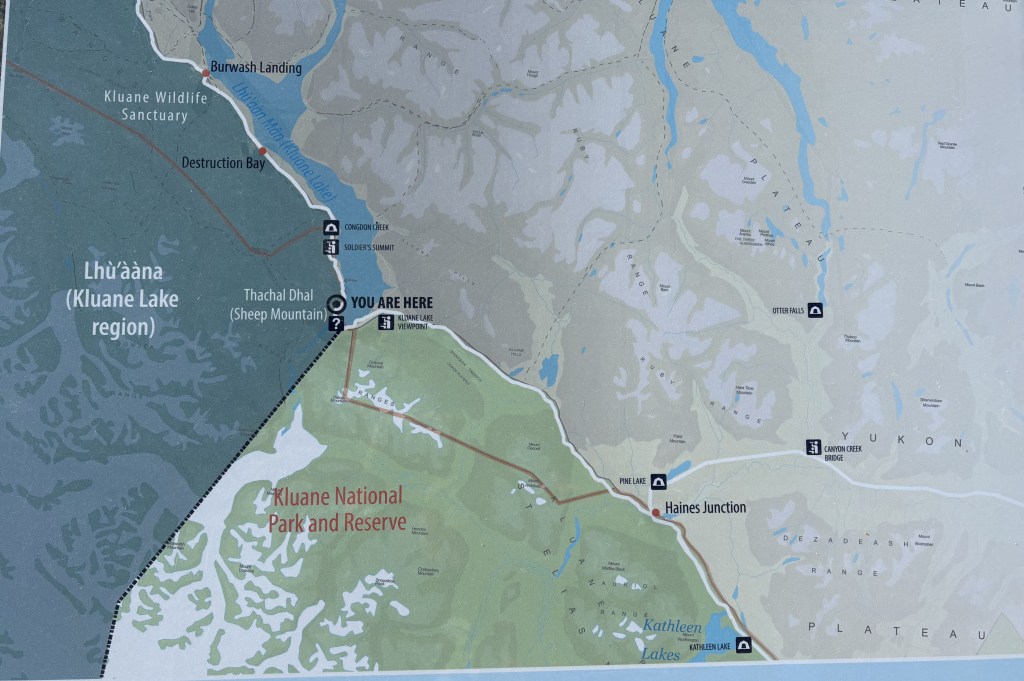
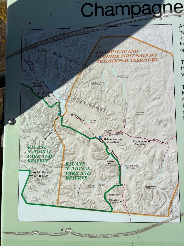
My destination for this segment is the “You Are Here” spot on the left side of the map.
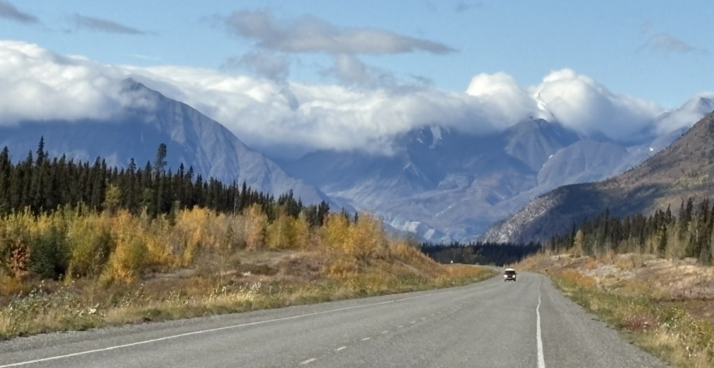
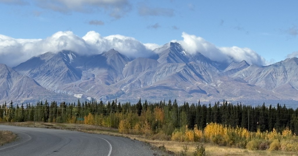
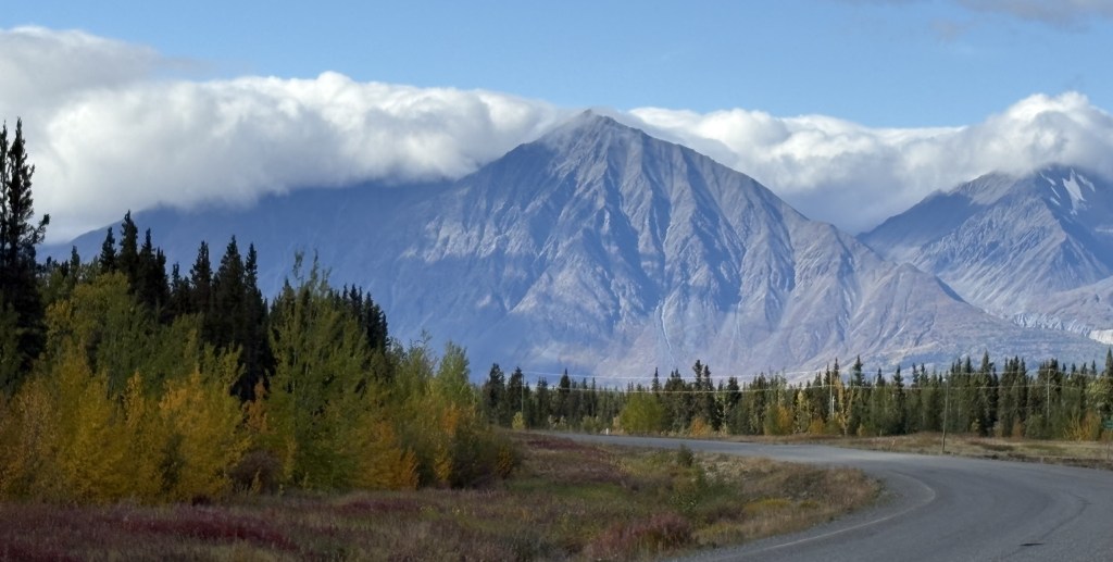
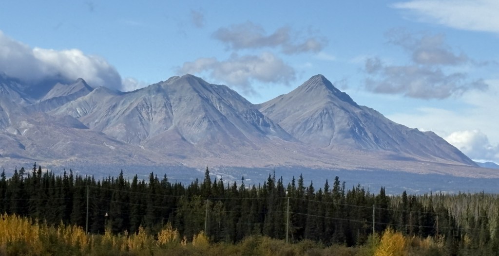
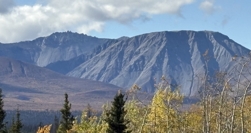
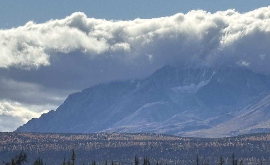
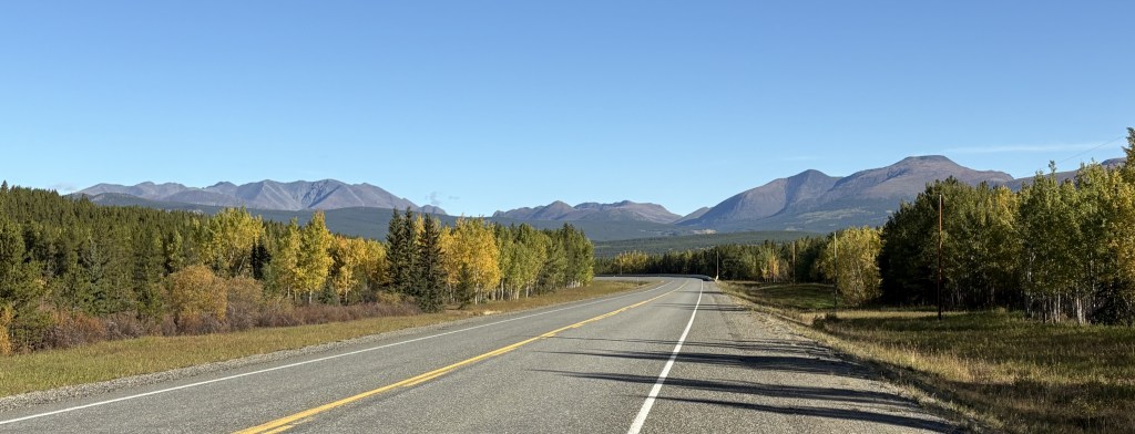
I was seeing lots of BIG mountains ahead of me (in Kluane National Park and Reserve) but after Haines Junction the road turns towards the northwest so I would drive along side, or around, the mountains rather than over them. You can’t always tell from a map, but I have learned that as I approach a sizeable mountain which I will go over (often through a named “pass”) there will be signs for a “Chain Up” area just off the road where vehicles may stop to put chains on their tires. Modern chains may not be chains at all, but other grip- providing equipment which wraps around your tires. When you reach the top of the “pass” there is a “Brake Check” area where big trucks are required to stop to check the condition of their brakes before driving downhill. The required chains may also be removed there, or at the bottom of the hill (I would personally prefer the latter of those two choices).
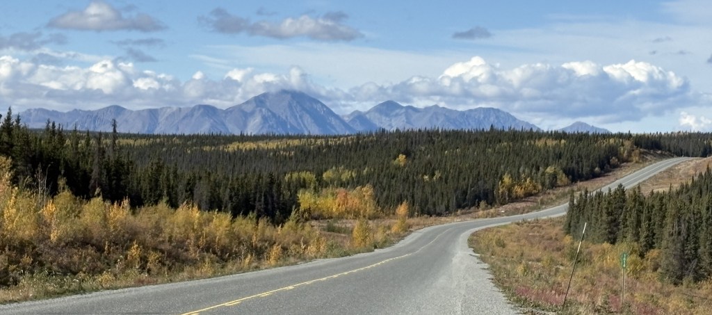
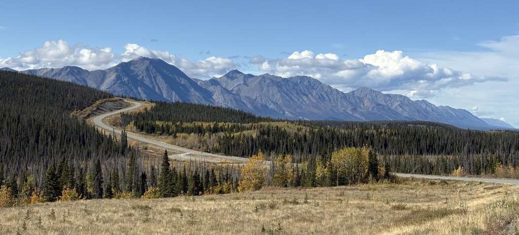
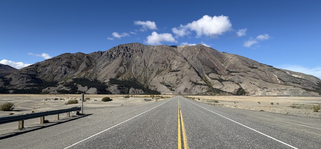
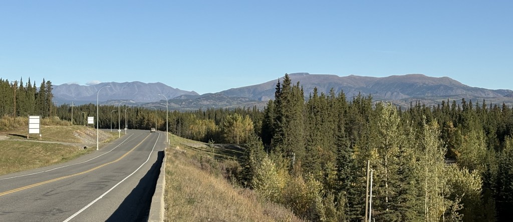
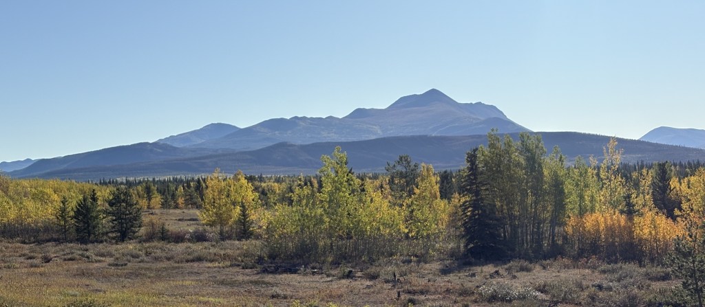
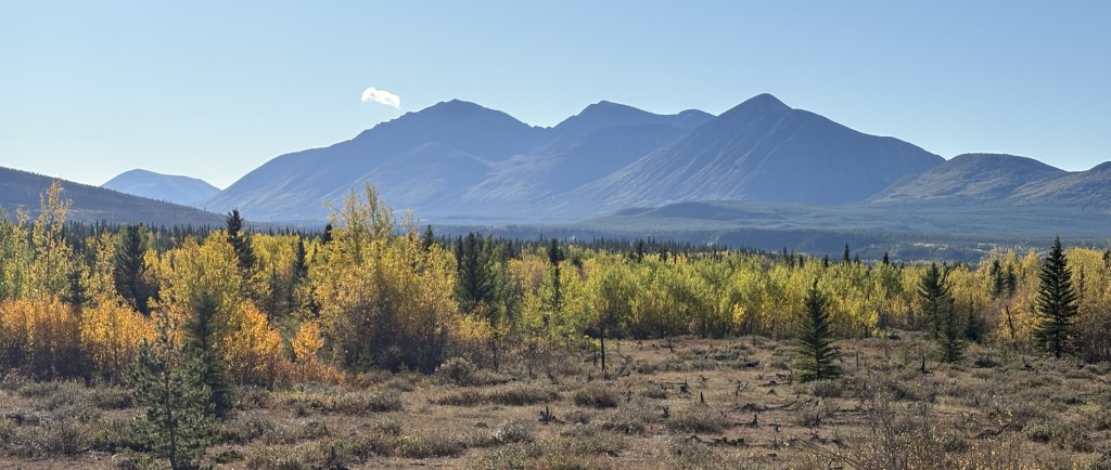
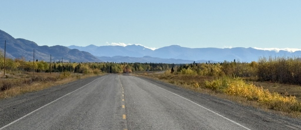
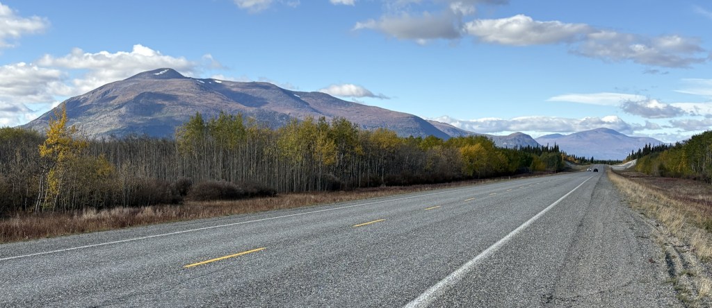
Now, here are the mountains I saw as I drove this section of the Alaska Highway. Once again in this segment of my drive, the road was basically fine, with only a few isolated bad spots.
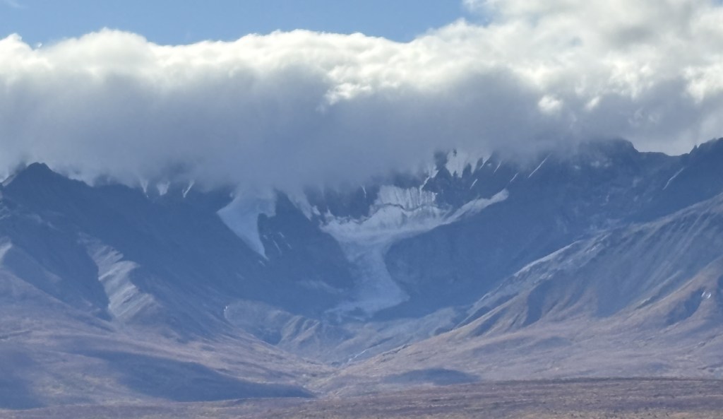
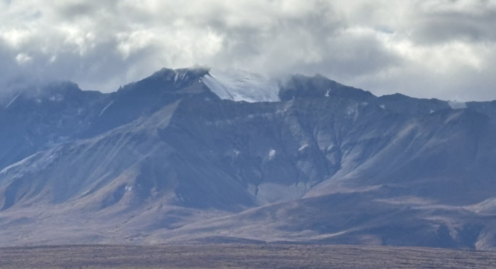
Most of the clouds in the photos above were directly above the mountains to my left. Directly above me, and to my right, it was sunny and clear, and there were breaks in clouds over the mountains in some spots.
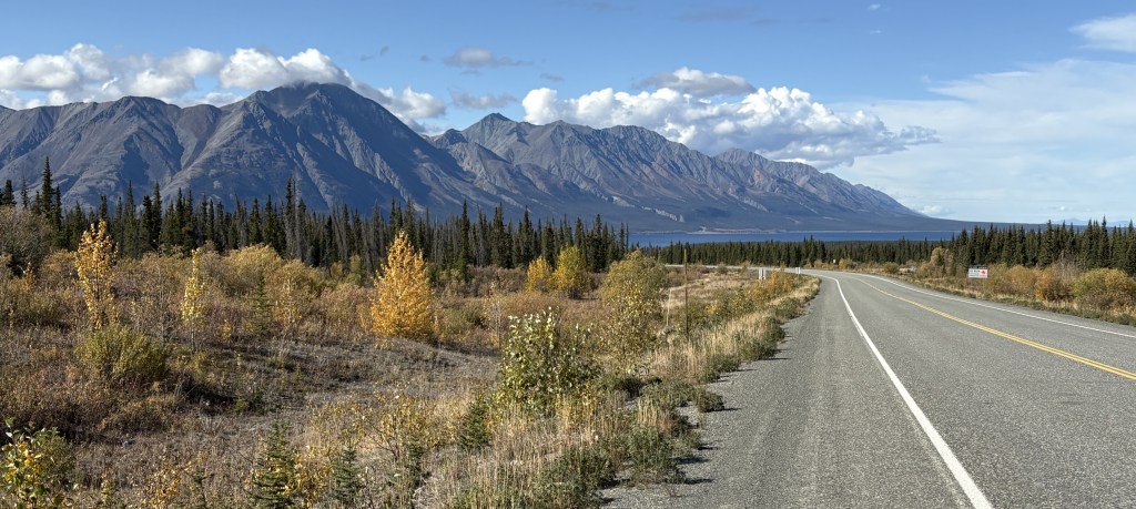
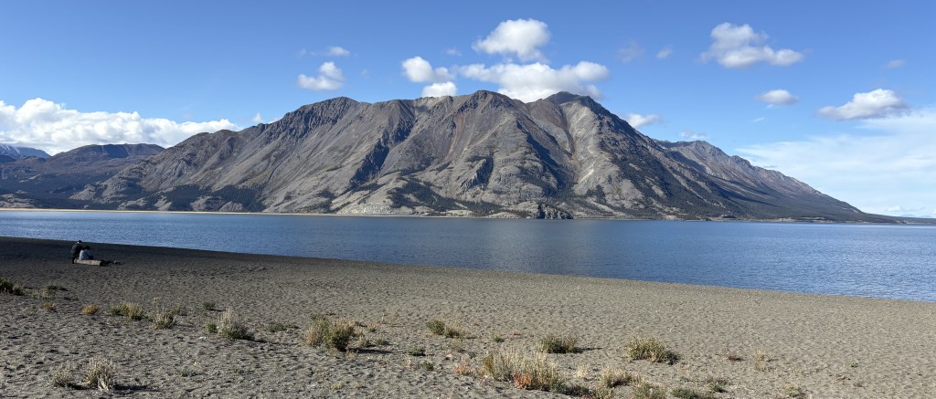
The lake shown above is the southernmost tip of Kluane Lake. The mountain on the other side is Sheep Mountain (where I would encounter warning signs for bighorn sheep, of which I saw none). The road I was on would continue to the left from this spot but then make a turn right to head straight towards the mountain.
And this was the view from a bridge I drove over where the lake drains into a small river (or vice versa).
I will make the next two posts in this 4-post sequence tomorrow, which will take me to Tok, Alaska.
This is the first of four posts documenting my entry into Alaska! From Whitehorse it will be a 386 mile, 7 1/4 hour drive (without stops!) west across the southern part of the Yukon, eventually turning northwest before reaching the border with Alaska, and ultimately the town of Tok (pronounced toke). There are lots of photos and my goal is to show what it is like to drive this part of the Alaska Highway. The four posts will be:
1 – Whitehorse to Haines Junction, 2 – Haines Junction to Sheep Mountain
3 – Sheep Mountain to the Canada/Alaska border, 4 – The border to Tok, Alaska
Here we go!
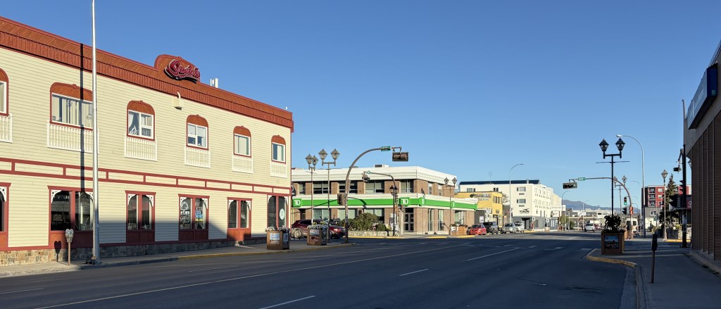
It was a nice, clear morning when I left Whitehorse. It is the capital of the Yukon Territory province and has a population of about 35,000 people. According to Wikipedia it is the largest city in northern Canada, which covers quite a bit of land. I would guess what they mean is north of the northern borders of the provinces which border the northern US states in the lower 48.
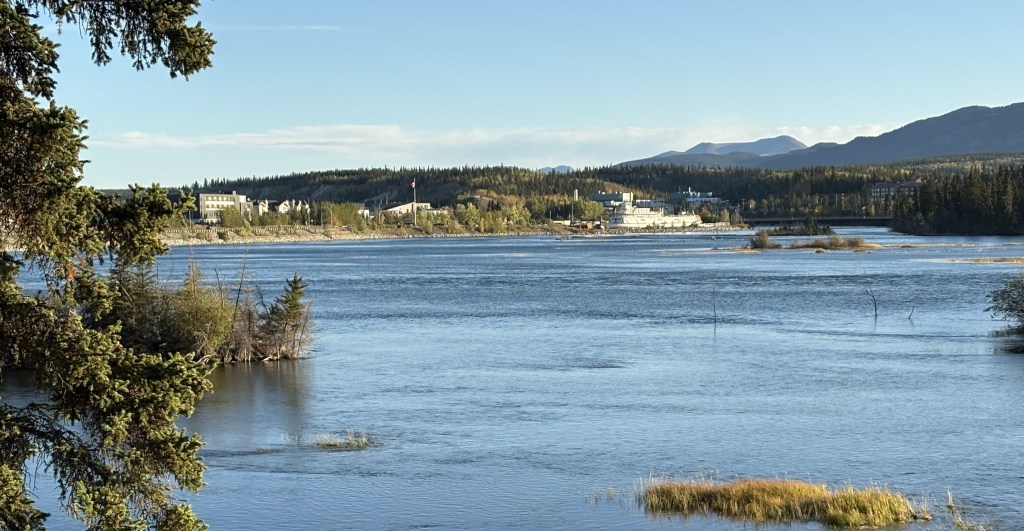
That is looking towards Whitehorse from a pullout area along the Yukon River.
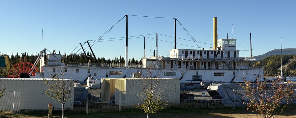
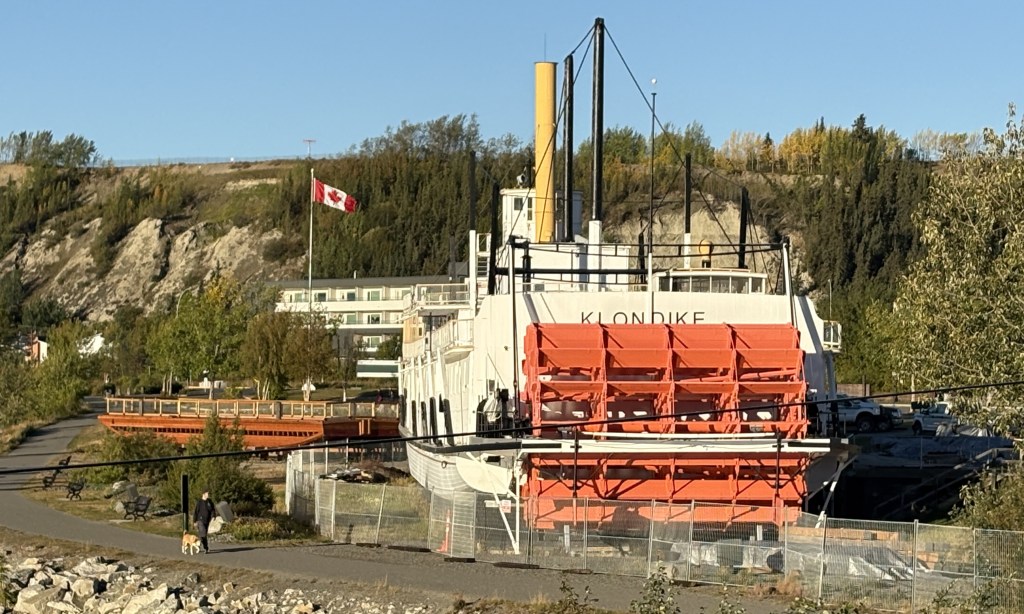
The ship shown above is the SS Klondike. It is now a Canadian National Historic Site and is undergoing a multi-million dollar renovation (hence the fences and shipping containers). It is drydocked here along the river. It was on the right side of the first photograph in this post.
That is part of the downtown area. The town is rather spread out so it is hard to get it in one photo. Suffice it to say that it is a nice, modern town. I will be coming back here on the return trip in a few weeks and plan to spend more time here.
The rest of the photos in this post are from the drive west to Haines Junction.
I have posted the next four photos previously but am repeating them here in the proper sequence in my trip.
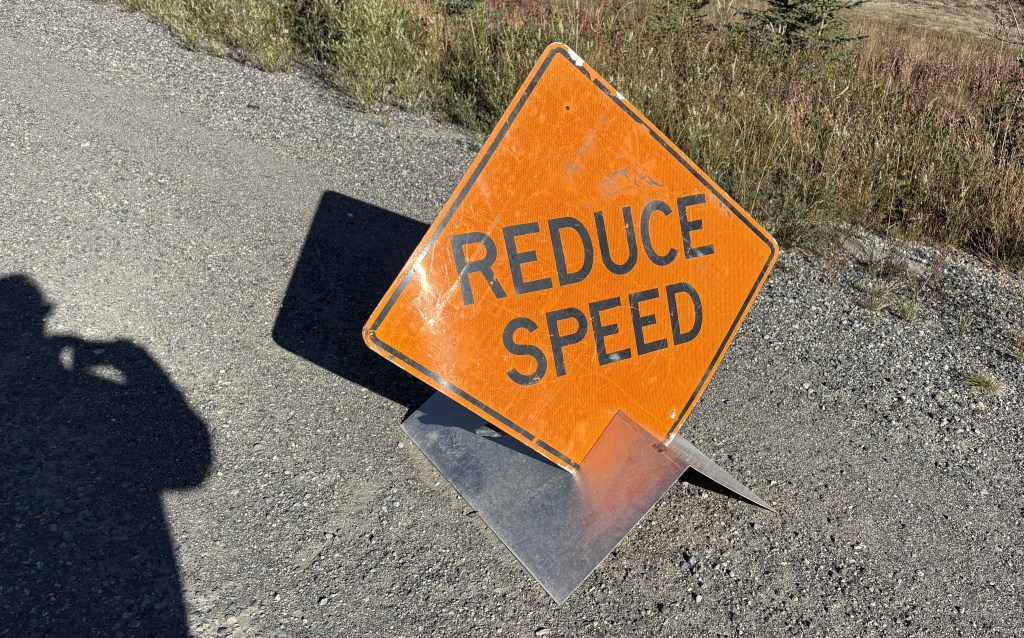
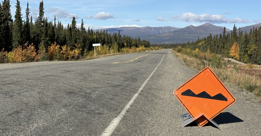
As I explained in the real-time post back in September, these were small signs set up temporarily along “bad” sections of the Alaska Highway. A “bad” section is generally an undulation (bump or dip in the road caused by the temperatures this far north), or potholes or parts of the road which have a rough surface as opposed to the normal pavement. Most of the road is fine, but these signs warn drivers to be especially alert to the condition of the road, especially if there is snow present.
During the day these areas are generally visible to the naked eye, but at night or on a snowy road, these signs should not be ignored.
This second sign indicates that there is a fluctuation in the road surface (up or down) which is what warrants caution. You can see the dip in the road just past these signs. Not too bad at this particular spot but sometimes they are doozies!
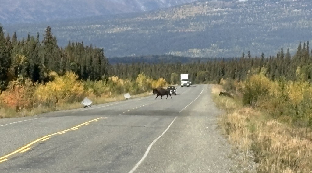
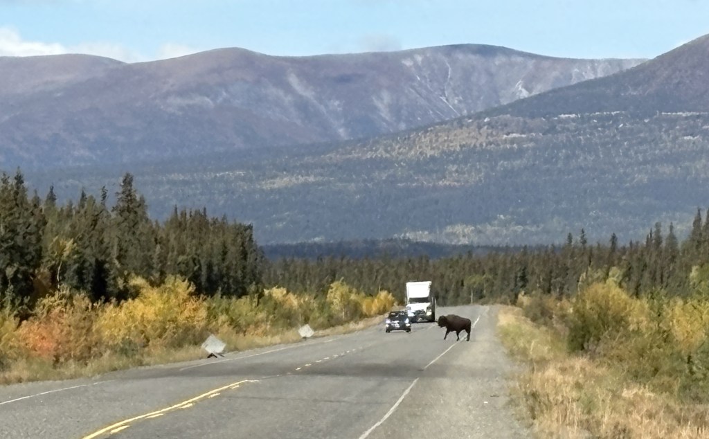
While I was stopped here taking these photos, two bison meandered across the highway further up the road.
You can see the second one climbing the bank on the right.
You can also see the two signs warning drivers coming the other way for a repaved (dark) area on the other side of the dip in the road. These were the only bison I saw during my entire trip, and I would have already been past this spot if I hadn’t stopped to take photos of the two small signs.
There were LOTS of these signs between here and the border and as the road deteriorated the further west I drove, they evidently ran out of signs warning of the bad spots and drivers just needed to be prepared at all times. In addition to the two signs there was sometimes an orange flag attached to the Reduce Speed sign, which meant they were really serious about it. Later in my drive there may only be a flag warning of a bad spot.
As I stated back in my real-time post, I would not want to drive this road at night, not only because of the increased animal-in-the-road risk, but also because I couldn’t see the bad spots before driving over them. I kind of got used to the rhythm needed to pass these areas. If the hazard was on my side and there was no one coming the other way I would sometimes move over to the other lane.
What I have shown in this post is getting as far west as Haines Junction.
The road on this stretch was pretty good in almost all places, as it will be in the next segment of today’s drive. Thus far it was a nice, clear day and it was a very pleasant drive.
I stopped in Haines Junction at the Kluane National Park and Reserve Visitor Centre, which also housed a Cultural Centre for the Da Ku indigenous First Nations tribes (Champagne and Aishihik ), whose territory I have been driving through. They had lots of displays, and I spent a good bit of time there.
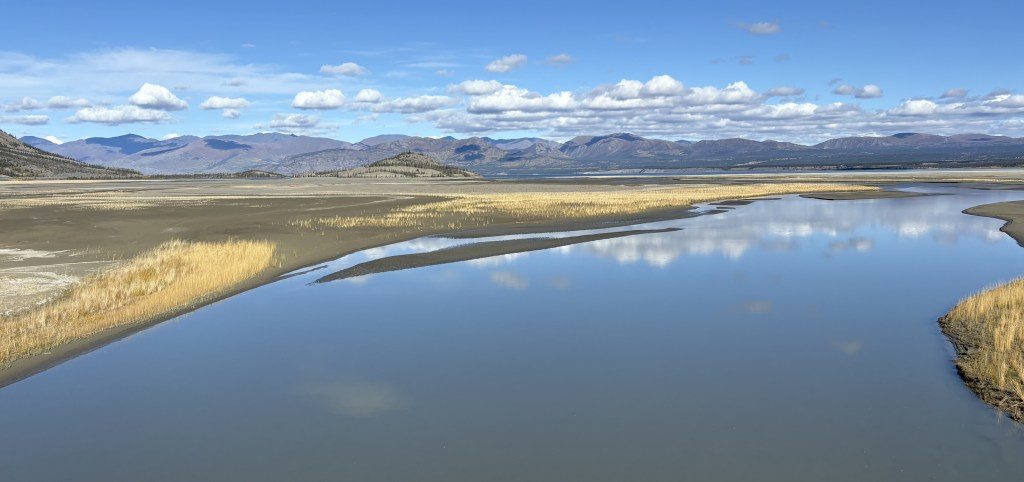
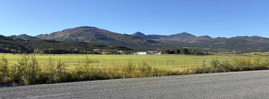
The Kluane National Park and Reserve was dead ahead of where I was driving as I approached Haines Junction. I could see more and more big mountains ahead of me, many with low clouds at the top which I have learned often signifies snow and/or glaciers at their peaks. You will see lots of them in the next two posts. One of the mountains due west of Haines Junction is Mount Logan which, at 19,551 feet, is the highest mountain in Canada (and second tallest in North America, after Denali). It is about 100 air miles away and I could not see it because of other tall mountains blocking the view.
My next post covers Haines Junction to Sheep Mountain, at the southern tip of Kluane Lake on the map shown above (where there is a blue question mark).