Whitehorse, YT

October 11, 2025

This is my 1,500th post to the blog!

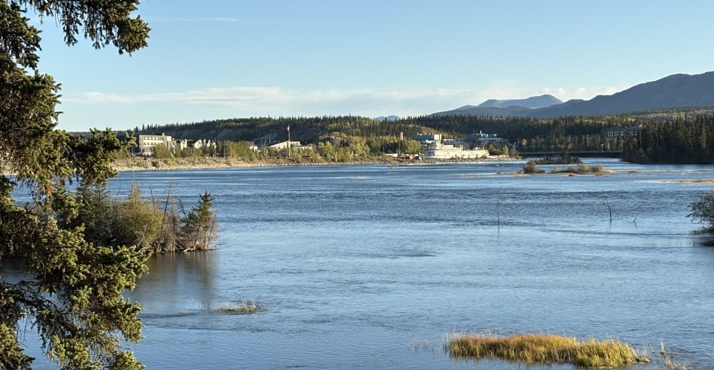
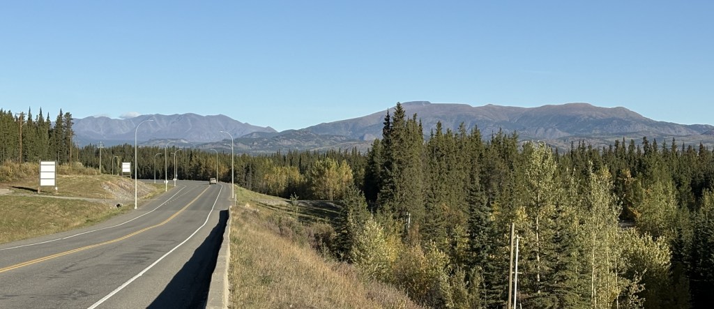
I had spent one night in Whitehorse on my way to Alaska and scheduled two nights for this stay. My initial impression was that it is a nice little town, and I wanted more time to explore it.

Well, that plan went south when I had the oil and filter in my car changed mid-morning and was told that my right rear tire needed immediate attention. When I bought this car in late April of 2025 it had relatively new Michelin Sport tires on it, which wear faster than the tires I normally buy. I had been keeping an eye on the tire wear and, while the other three still had tread on them, the right rear had virtually no tread left. I still don’t know why it had gotten so bad, so fast but there it was. Fortunately Whitehorse is a big enough town to have not only a Canadian Tire store but also one or two others.

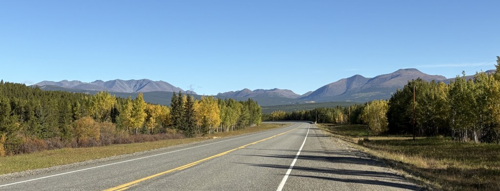
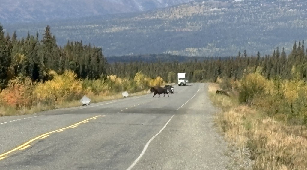
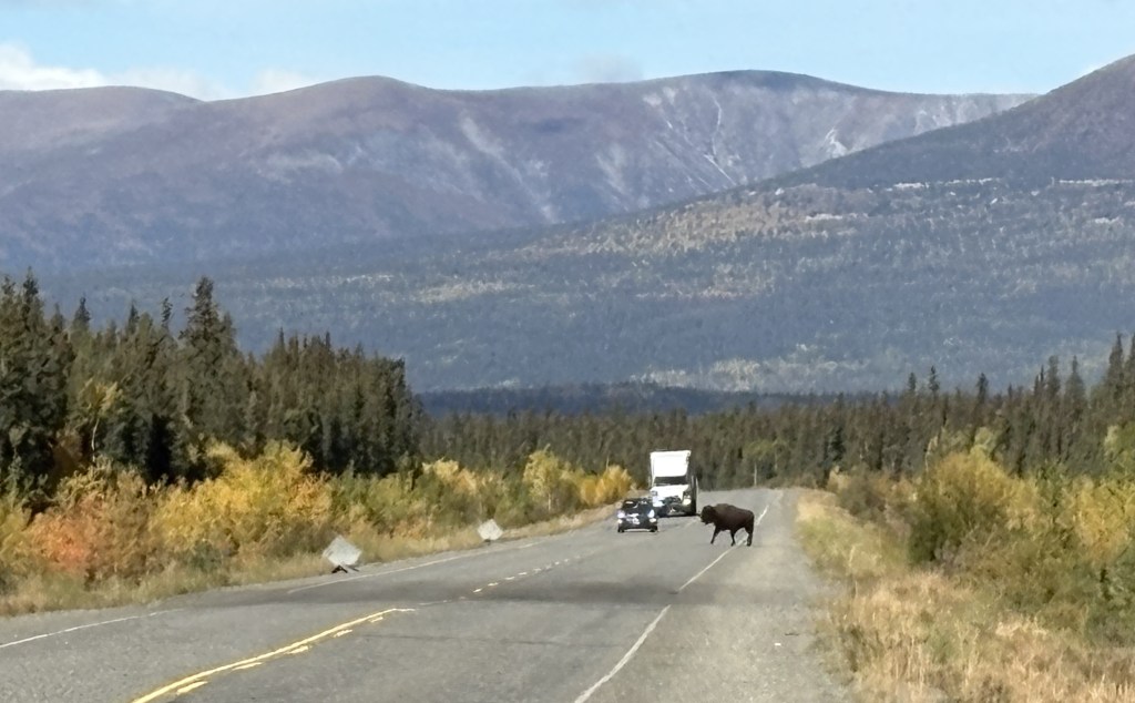
The mechanic who spotted it thought Canadian Tire would be booked two or three days out and recommended another store. I went there first and was told they wouldn’t even be able to look at until Tuesday (this happened on a Saturday). Not only were they closed Sunday, but Monday was a Canadian holiday. I went to Canadian Tire and they set me up with a new tire and, even though they had other customers waiting, had it finished by mid-afternoon. I was greatly relieved and very appreciative. Tomorrow I would be driving east a considerable distance on the Alaska Highway, but the next day I would have a long drive on the very remote Hwy 37 with very few gas stations and probably fewer mechanics. If they hadn’t been able to put a new tire on, I would have stayed in town until they could.

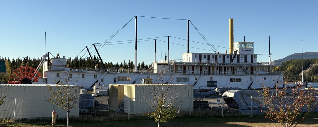
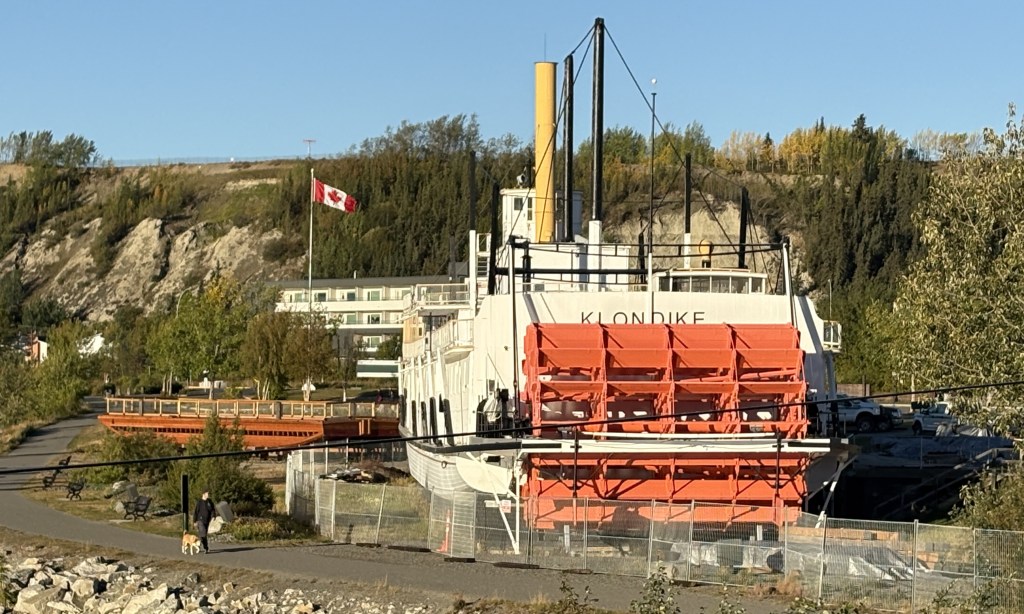
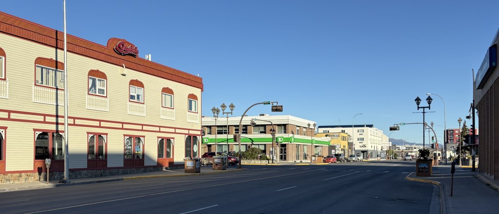
So that shot about 6 hours and I didn’t do as much exploring as I had hoped to. It was also a cold, windy day so I drove around town a little bit and then parked the car and walked along some of the main streets. I really didn’t see much that I felt was blogworthy but did take an odd assortment of photos of things which appealed to me.

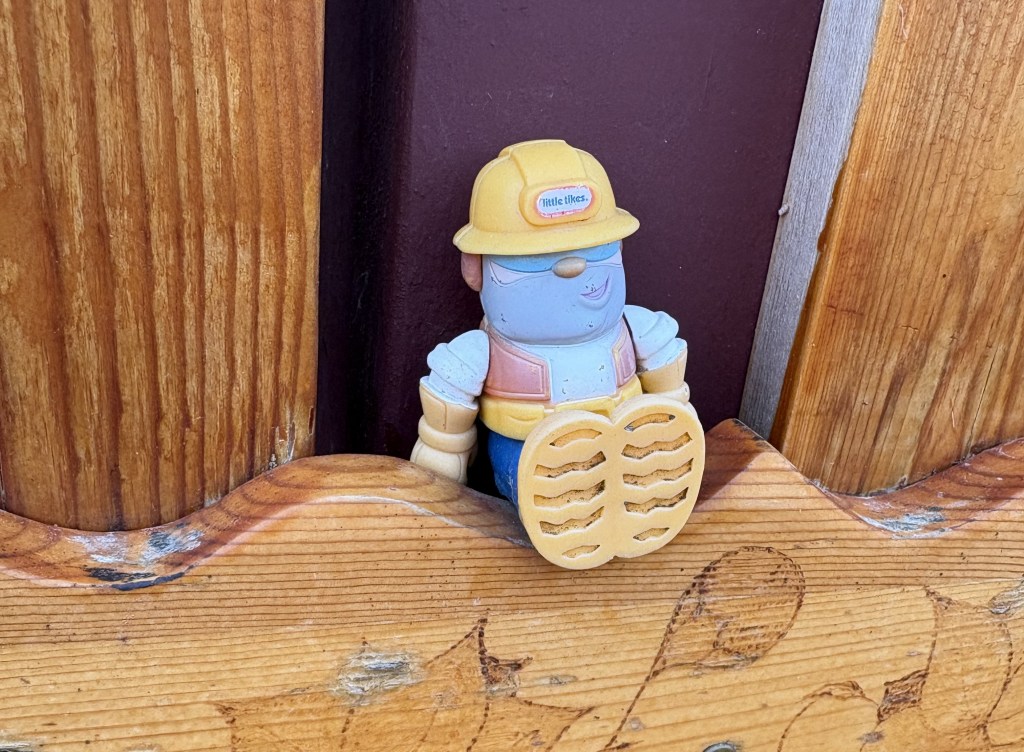
My Airbnb was a house being remodeled and I was the only occupant. My part of the house was completed, and it was a pleasant stay. When I went out to my car in the morning this little construction worker was propped up by the mailbox.

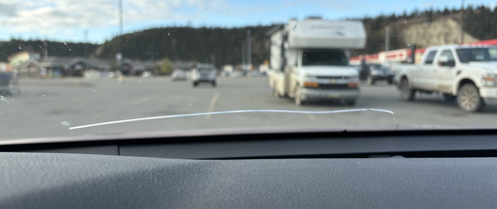
I also noted while I was in the Canadian Tire parking lot that the crack which started three or four days ago, on the worst section of the Alaska Highway, had now spread left towards the driver’s door after having started just right of the center of the car. In another day it will turn downward and stop. I was glad it hadn’t reached the left side of the windshield. It doesn’t leak and I don’t think it will affect the structural integrity of the windshield. I will probably have to have it fixed before I get the car inspected, but since it doesn’t connect two sides and doesn’t obstruct my vision it might be ok.

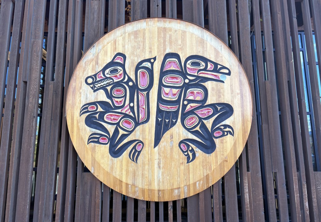
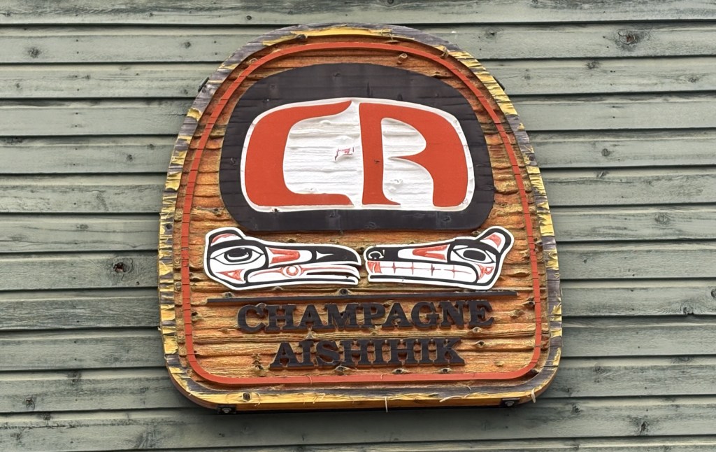
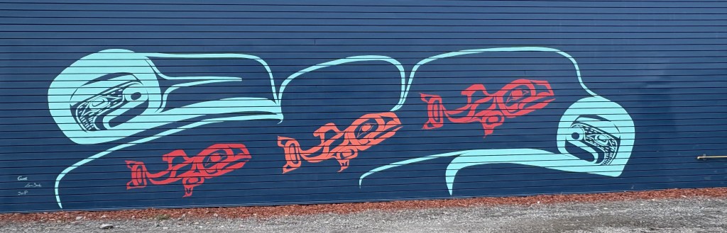
The next three photos are of artistic images by the indigenous people of the area.

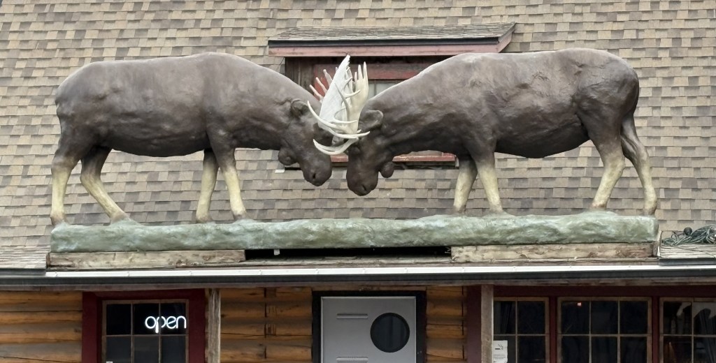
The next one is two moose statues above the entrance to a restaurant.

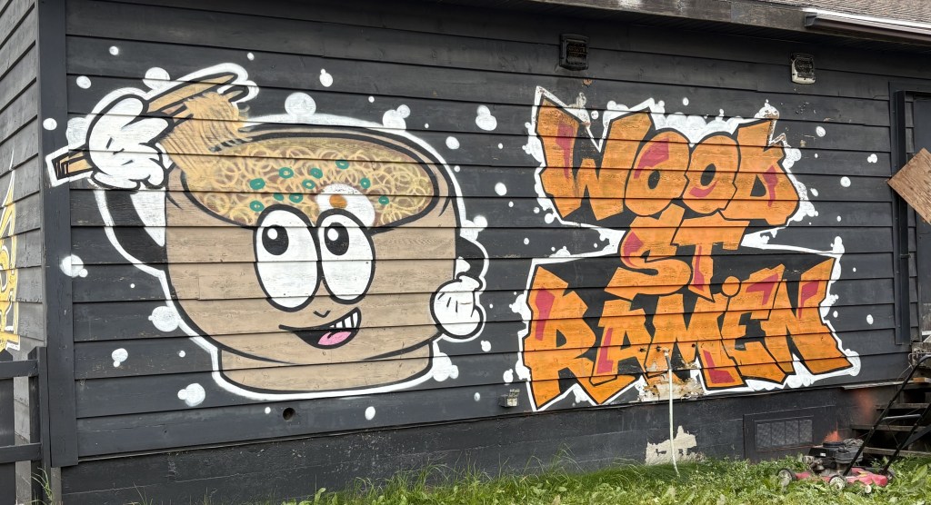
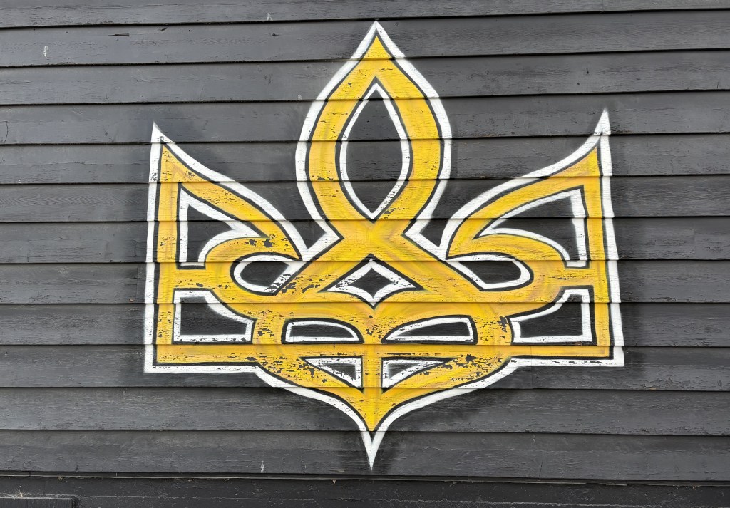
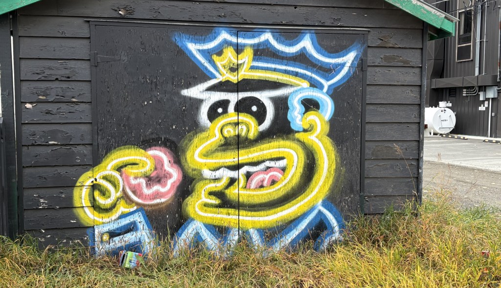
And the rest are just artwork or graffiti.

One good thing that happened during the night was that I was FINALLY able to see the Northern Lights!

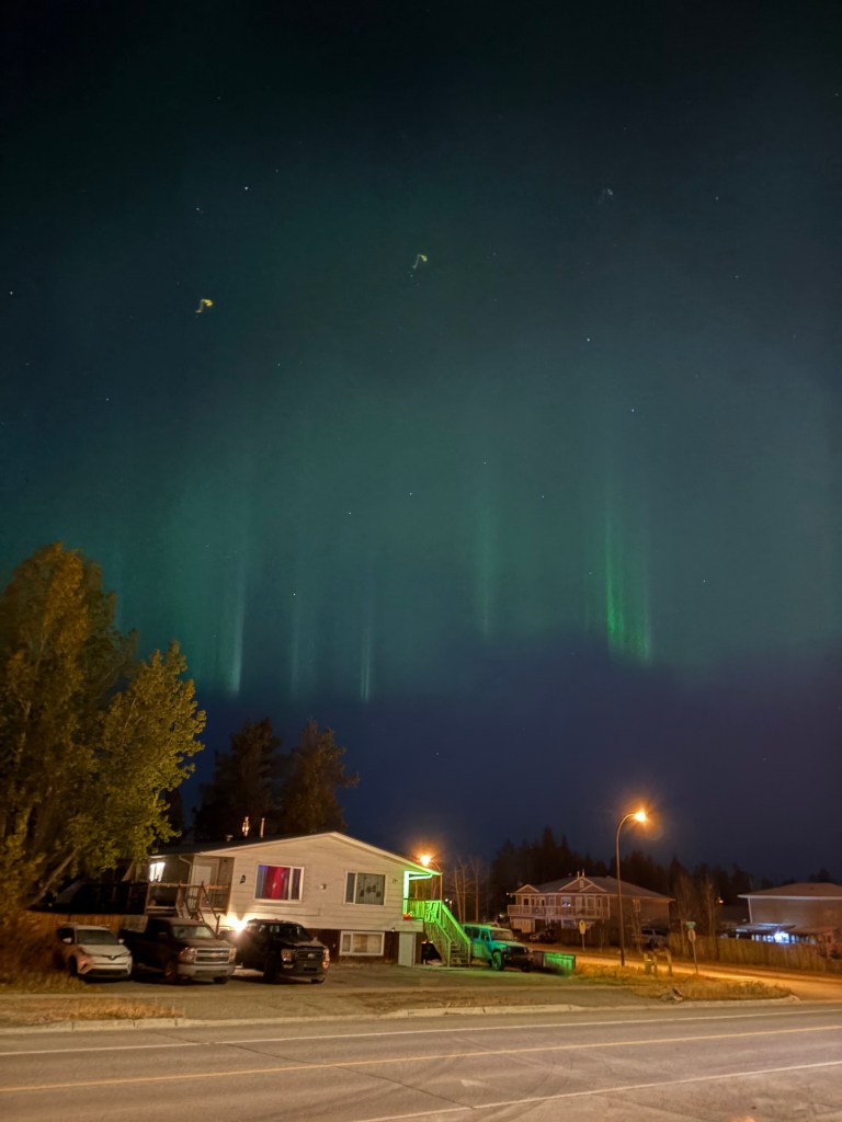
This was taken at 243am. I was staying north of town and this was looking north, so even though there were streetlights, and lights on at the house across the street, I could clearly see them. I also have some videos of the lights moving around a bit. It wasn’t as impressive a display as I had hoped for, but at least I saw something with my own eyes.

Whitehorse to Haines Junction, YT

September 13, 2025

This is the first of four posts documenting my entry into Alaska! From Whitehorse it will be a 386 mile, 7 1/4 hour drive (without stops!) west across the southern part of the Yukon, eventually turning northwest before reaching the border with Alaska, and ultimately the town of Tok (pronounced toke). There are lots of photos and my goal is to show what it is like to drive this part of the Alaska Highway. The four posts will be:

1 – Whitehorse to Haines Junction, 2 – Haines Junction to Sheep Mountain

3 – Sheep Mountain to the Canada/Alaska border, 4 – The border to Tok, Alaska

Here we go!

It was a nice, clear morning when I left Whitehorse. It is the capital of the Yukon Territory province and has a population of about 35,000 people. According to Wikipedia it is the largest city in northern Canada, which covers quite a bit of land. I would guess what they mean is north of the northern borders of the provinces which border the northern US states in the lower 48.

That is looking towards Whitehorse from a pullout area along the Yukon River.

The ship shown above is the SS Klondike. It is now a Canadian National Historic Site and is undergoing a multi-million dollar renovation (hence the fences and shipping containers). It is drydocked here along the river. It was on the right side of the first photograph in this post.

That is part of the downtown area. The town is rather spread out so it is hard to get it in one photo. Suffice it to say that it is a nice, modern town. I will be coming back here on the return trip in a few weeks and plan to spend more time here.

The rest of the photos in this post are from the drive west to Haines Junction.

I have posted the next four photos previously but am repeating them here in the proper sequence in my trip.

As I explained in the real-time post back in September, these were small signs set up temporarily along “bad” sections of the Alaska Highway. A “bad” section is generally an undulation (bump or dip in the road caused by the temperatures this far north), or potholes or parts of the road which have a rough surface as opposed to the normal pavement. Most of the road is fine, but these signs warn drivers to be especially alert to the condition of the road, especially if there is snow present.

During the day these areas are generally visible to the naked eye, but at night or on a snowy road, these signs should not be ignored.

This second sign indicates that there is a fluctuation in the road surface (up or down) which is what warrants caution. You can see the dip in the road just past these signs. Not too bad at this particular spot but sometimes they are doozies!

While I was stopped here taking these photos, two bison meandered across the highway further up the road.

You can see the second one climbing the bank on the right.

You can also see the two signs warning drivers coming the other way for a repaved (dark) area on the other side of the dip in the road. These were the only bison I saw during my entire trip, and I would have already been past this spot if I hadn’t stopped to take photos of the two small signs.

There were LOTS of these signs between here and the border and as the road deteriorated the further west I drove, they evidently ran out of signs warning of the bad spots and drivers just needed to be prepared at all times. In addition to the two signs there was sometimes an orange flag attached to the Reduce Speed sign, which meant they were really serious about it. Later in my drive there may only be a flag warning of a bad spot.

As I stated back in my real-time post, I would not want to drive this road at night, not only because of the increased animal-in-the-road risk, but also because I couldn’t see the bad spots before driving over them. I kind of got used to the rhythm needed to pass these areas. If the hazard was on my side and there was no one coming the other way I would sometimes move over to the other lane.

What I have shown in this post is getting as far west as Haines Junction.

The road on this stretch was pretty good in almost all places, as it will be in the next segment of today’s drive. Thus far it was a nice, clear day and it was a very pleasant drive.

I stopped in Haines Junction at the Kluane National Park and Reserve Visitor Centre, which also housed a Cultural Centre for the Da Ku indigenous First Nations tribes (Champagne and Aishihik ), whose territory I have been driving through. They had lots of displays, and I spent a good bit of time there.

The Kluane National Park and Reserve was dead ahead of where I was driving as I approached Haines Junction. I could see more and more big mountains ahead of me, many with low clouds at the top which I have learned often signifies snow and/or glaciers at their peaks. You will see lots of them in the next two posts. One of the mountains due west of Haines Junction is Mount Logan which, at 19,551 feet, is the highest mountain in Canada (and second tallest in North America, after Denali). It is about 100 air miles away and I could not see it because of other tall mountains blocking the view.

My next post covers Haines Junction to Sheep Mountain, at the southern tip of Kluane Lake on the map shown above (where there is a blue question mark).