Homer to Tern Lake, AK

September 30, 2025

Today I will travel from Homer to Wasilla – northeast of Anchorage. I chose to overshoot Anchorage because I will be driving up to Denali National Park tomorrow and I wanted to shorten that drive.

I am going to break up the posts for today into three parts: Homer to Tern Lake (where Hwy 1 meets Hwy 9, which comes up from Seward), Tern Lake to just south of Anchorage, and from that point the rest of the way to Wasilla.

I had missed out on the Northern Lights the first night I spent in Homer. I was awake again shortly after midnight and went outside. This time I used my smartphone camera to look at the sky, as I had been told it is more sensitive to the wavelengths of the Lights and will show things the unaided eye may not see.

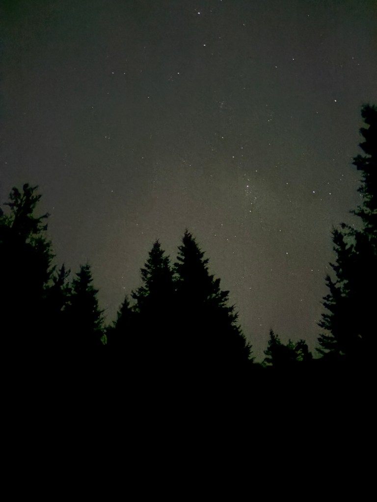
Still no luck. Perhaps they showed up later, but at night I try to sleep as much as I can so I didn’t venture out again.

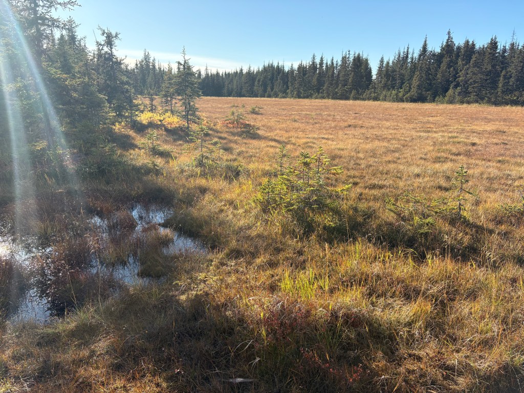
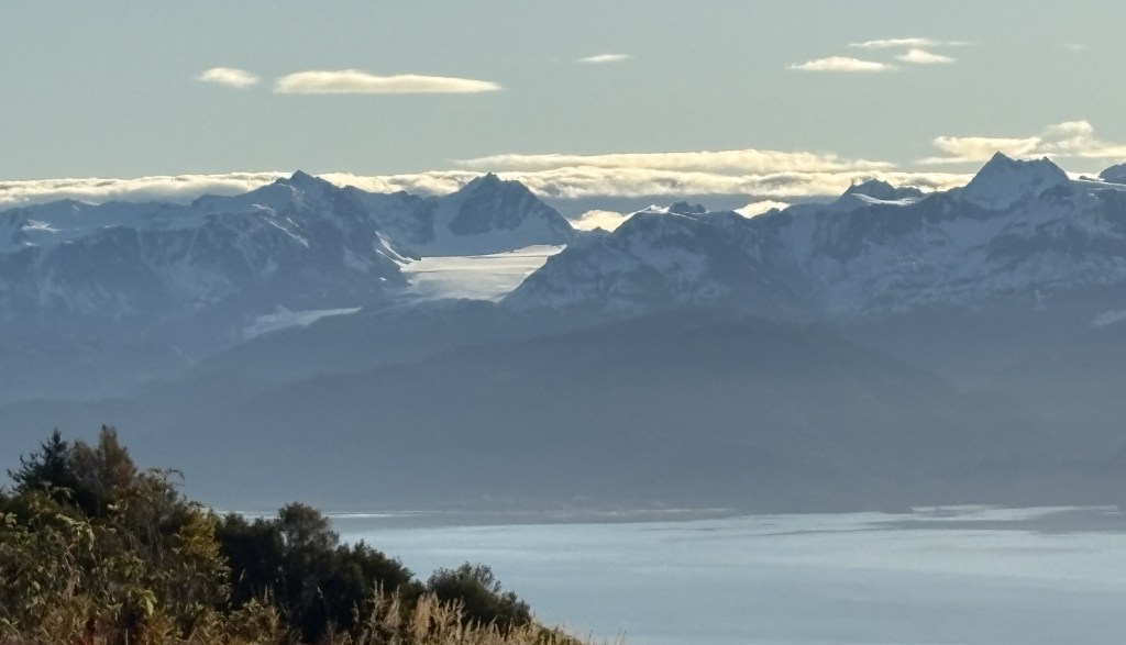
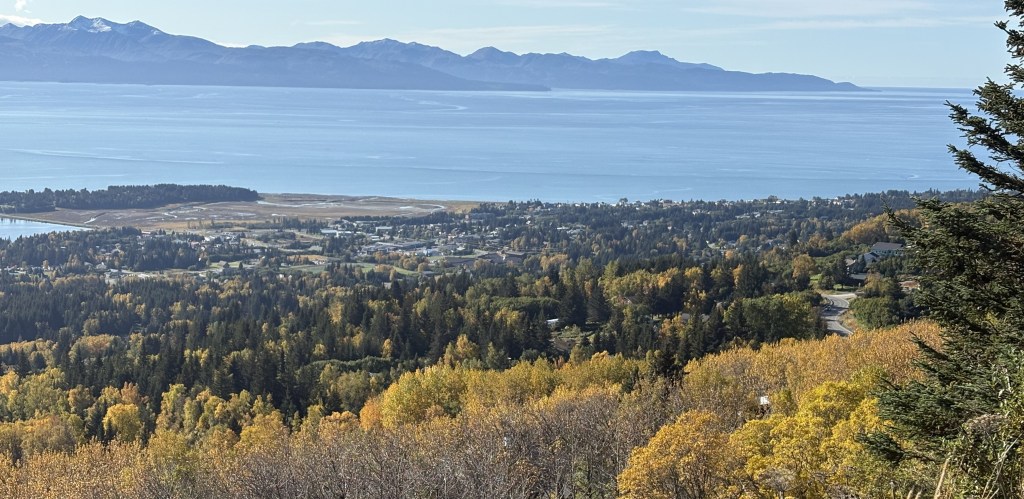
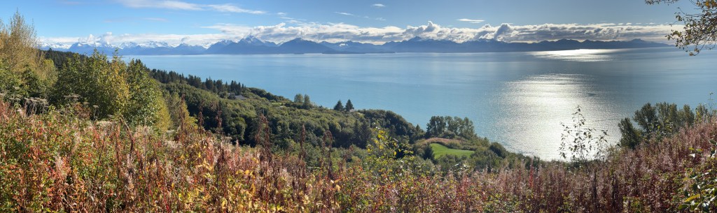
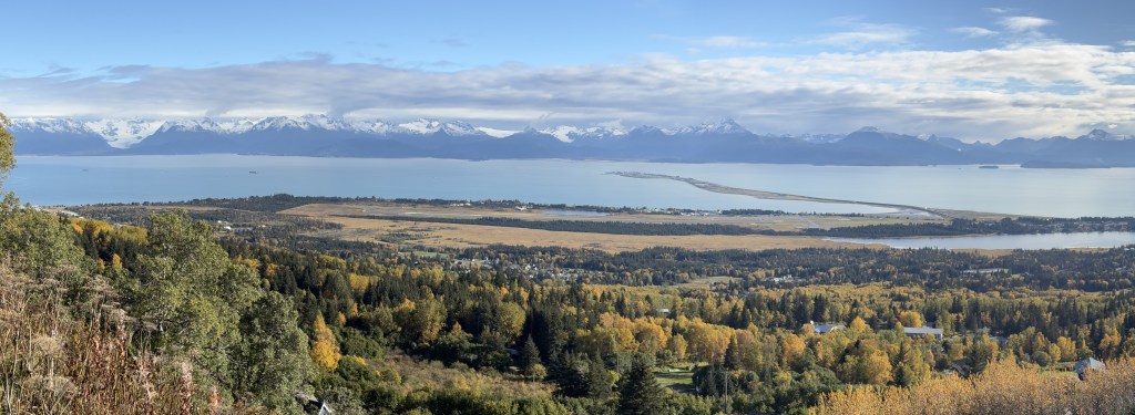
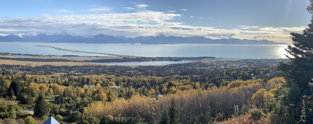
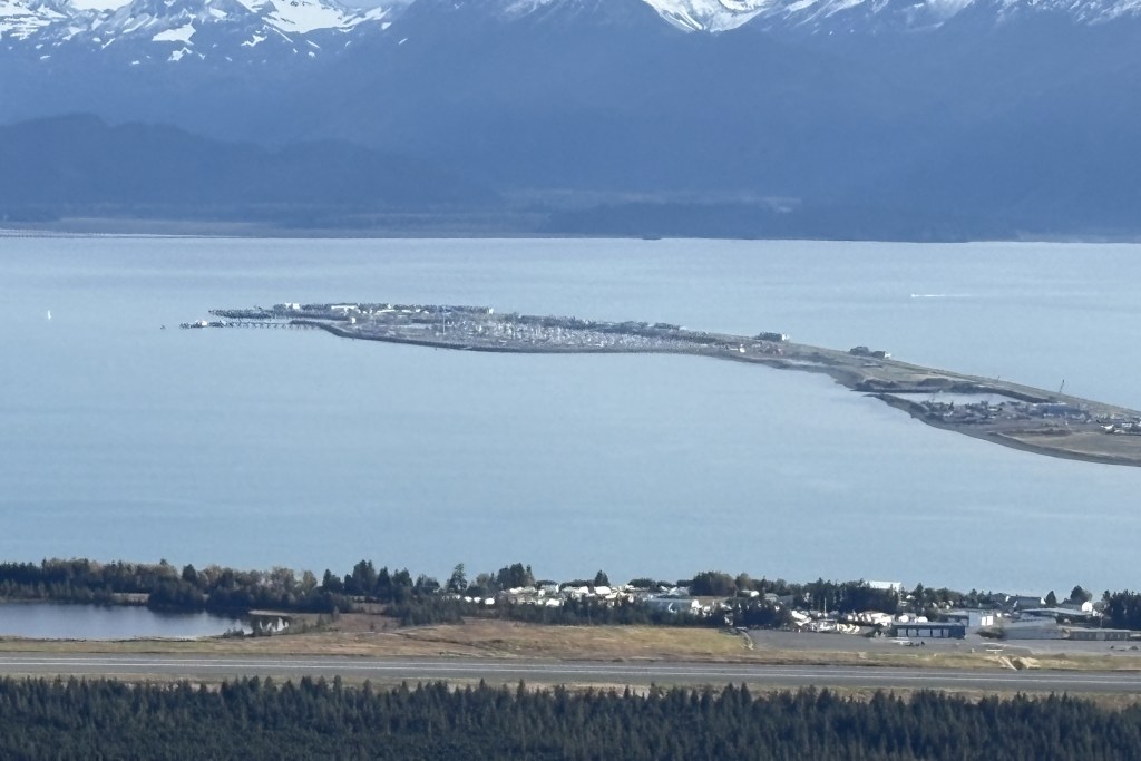
After daylight I drove a “mountain” route of backroads out to the highway because I wanted to try and spot some moose or other animals in more secluded areas where they would more likely be. No luck.

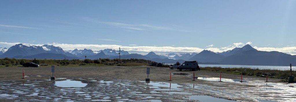
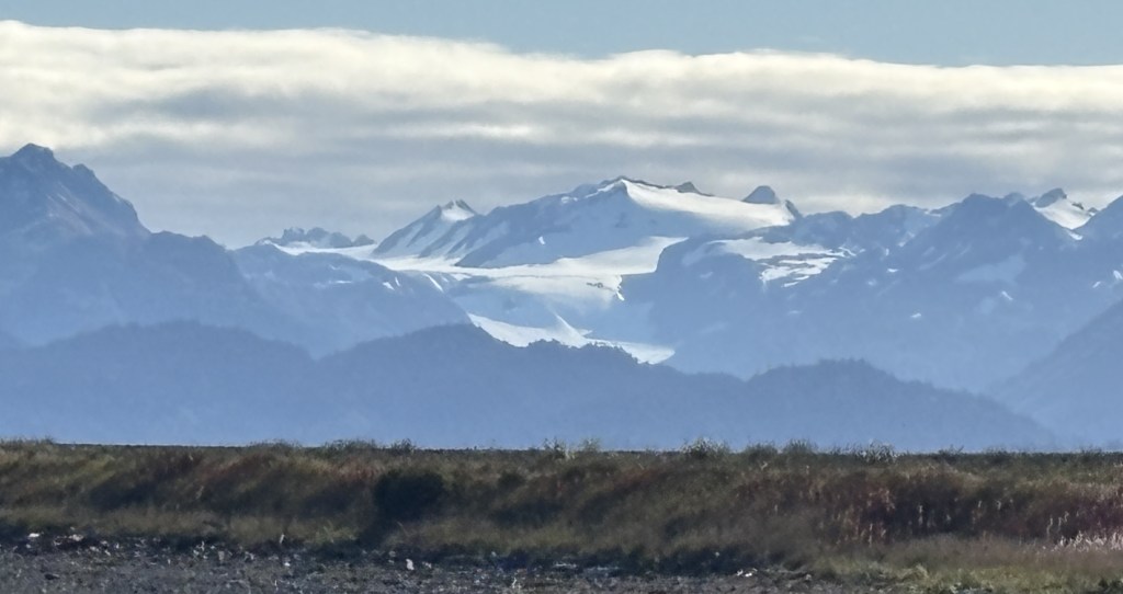
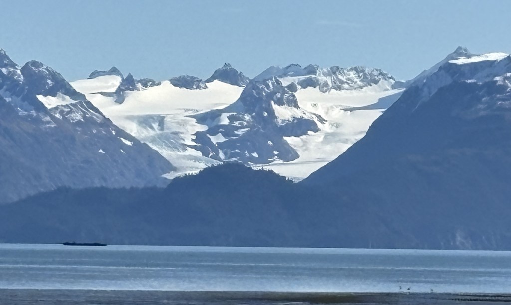
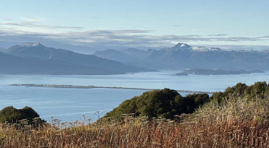
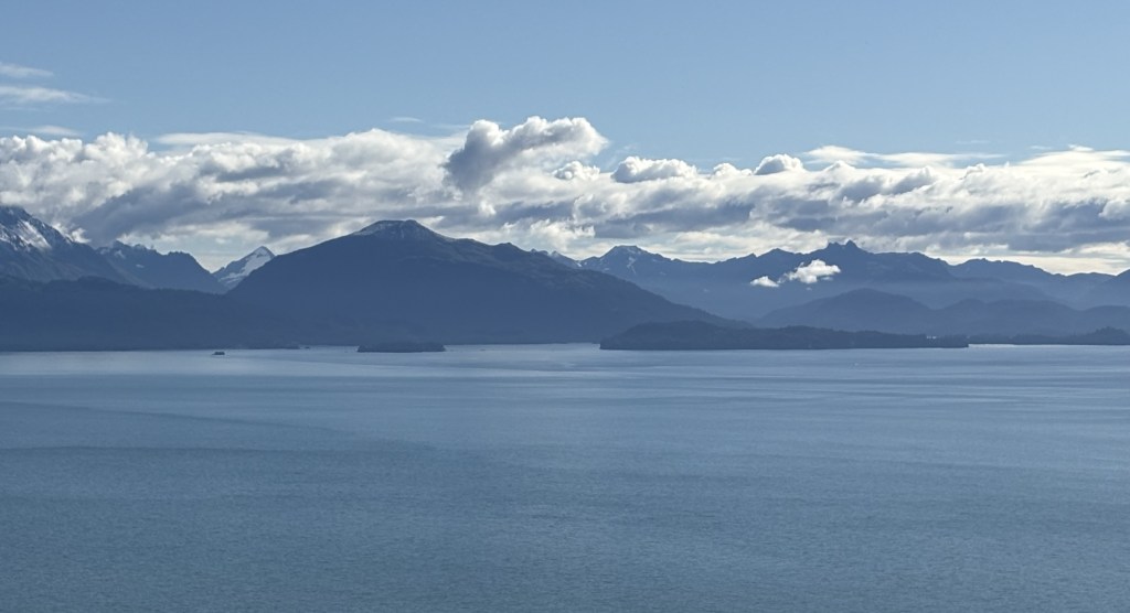
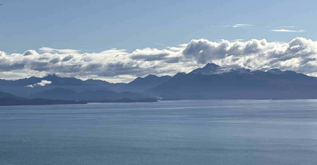
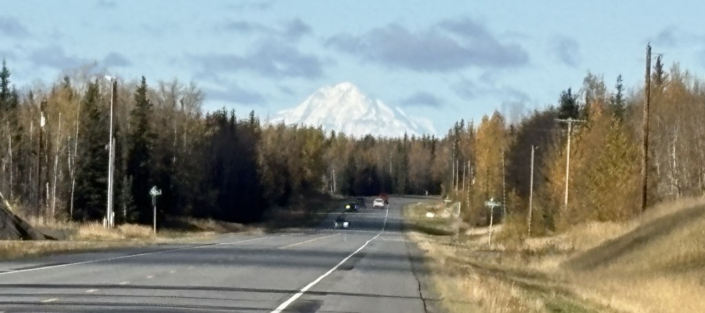
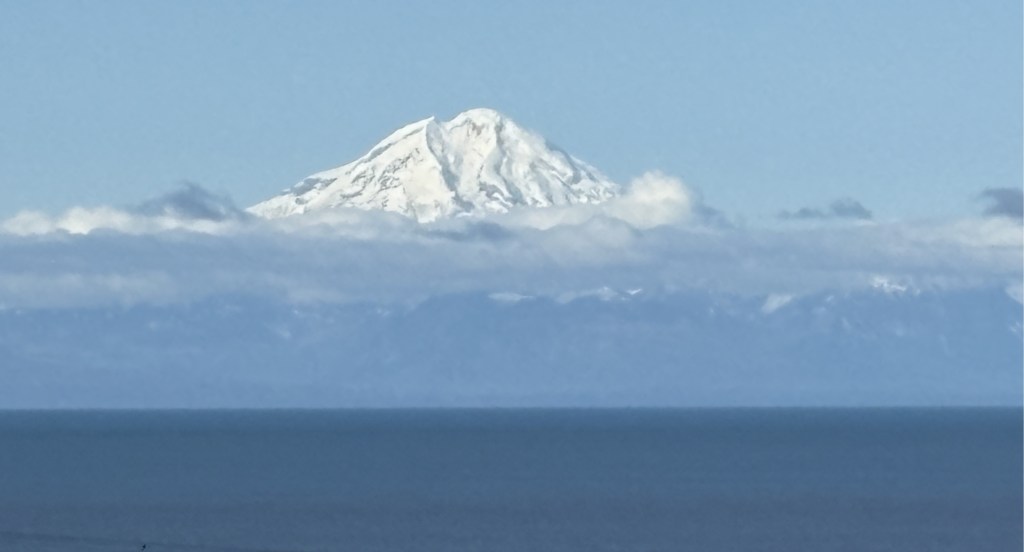
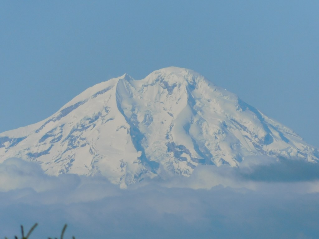
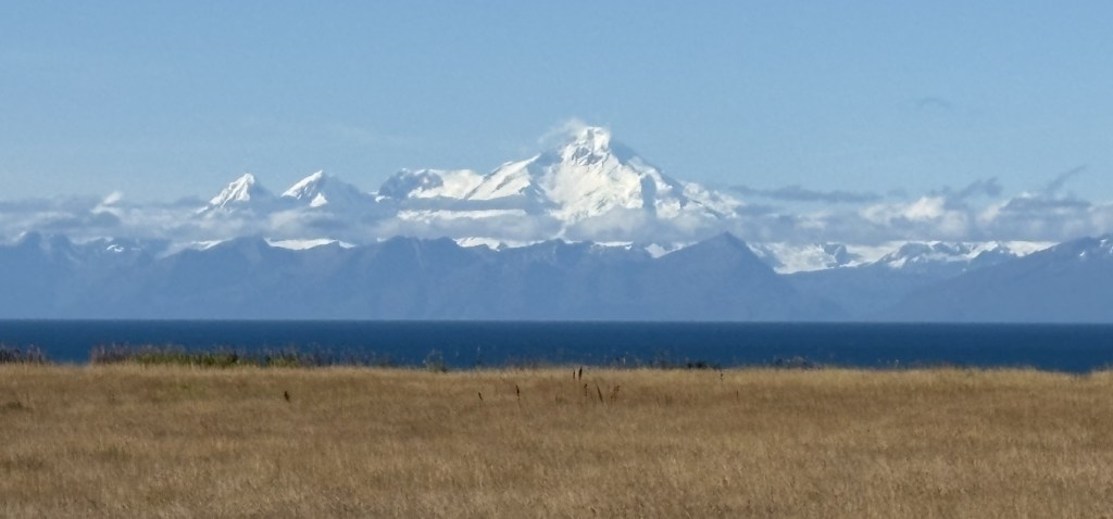
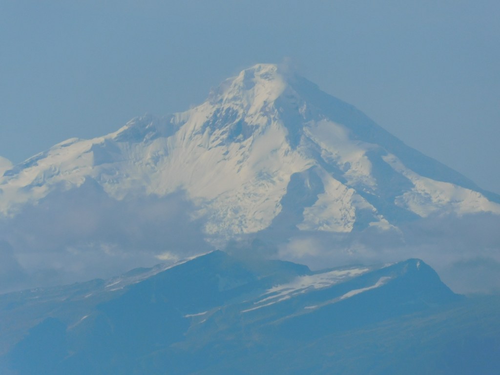
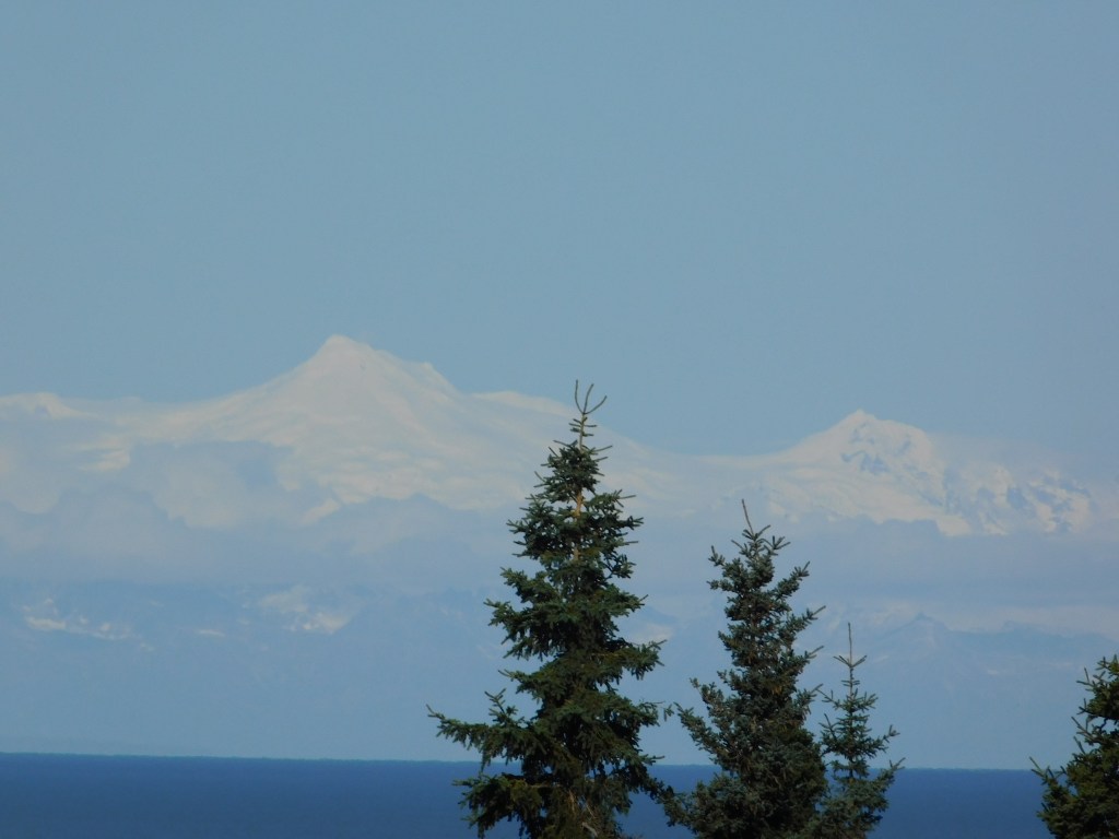
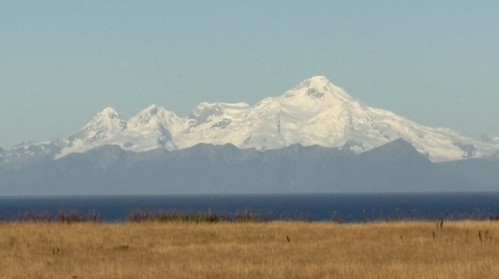
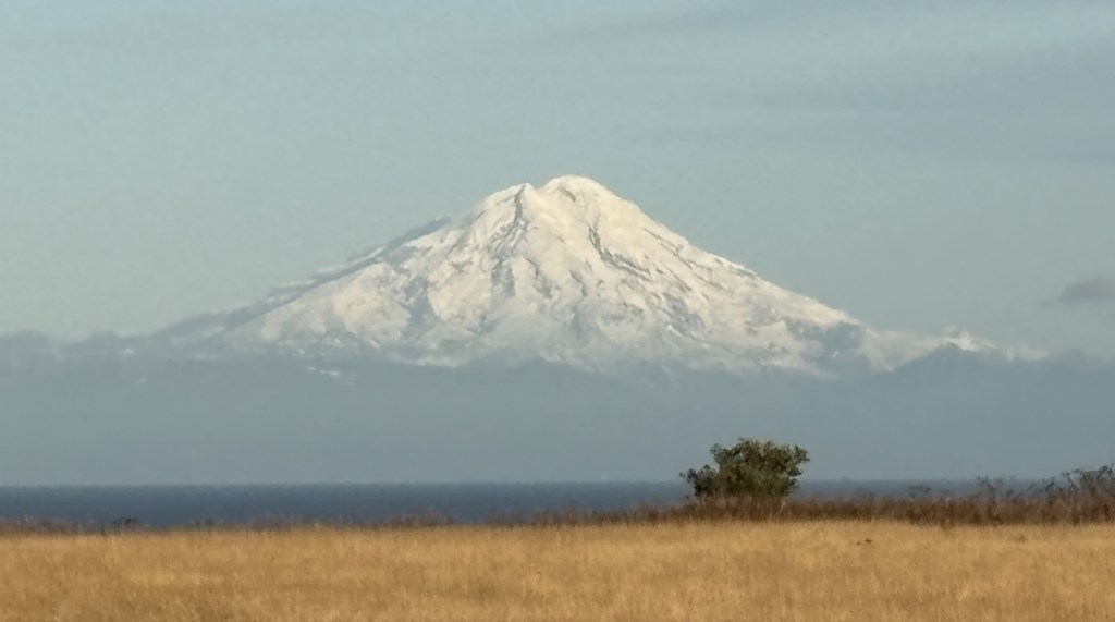
When I got out to the highway I stopped at the viewpoint which had the best view of the two volcanoes over in Lake Clark National Park, on the other side of the Cook Inlet. I have already posted pictures of them but the viewing conditions were a little better, and I had the morning sun rising behind me as I looked west.

This is Mount Iliamna:

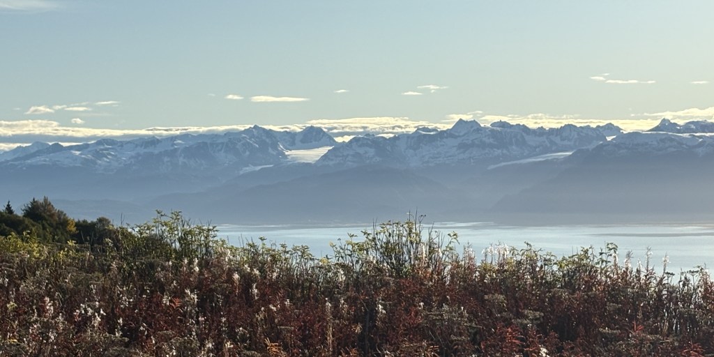
And this is Mount Redoubt:

When I got further to where the large moose was located it had indeed shed it’s human-added apparel.

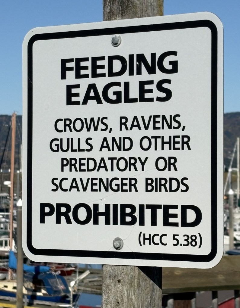
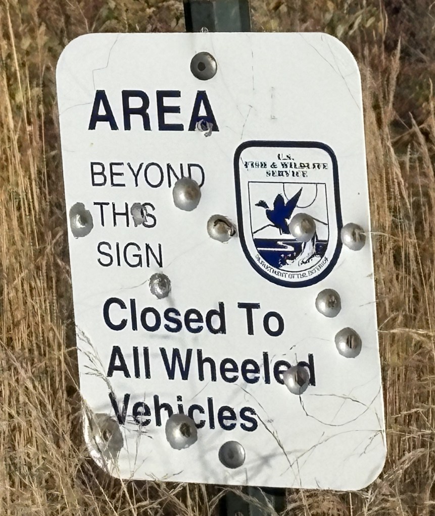
When I got to the Kenai National Wildlife Refuge I saw this sign which some people apparently didn’t agree with.

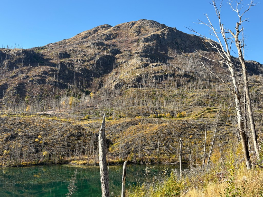
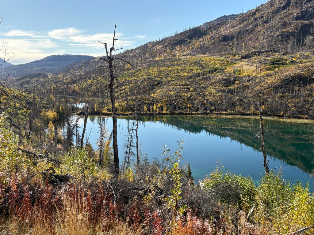
These are from a rest area within the Refuge which show some of the damage a wildfire had done.

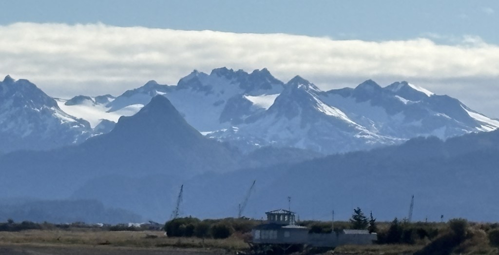
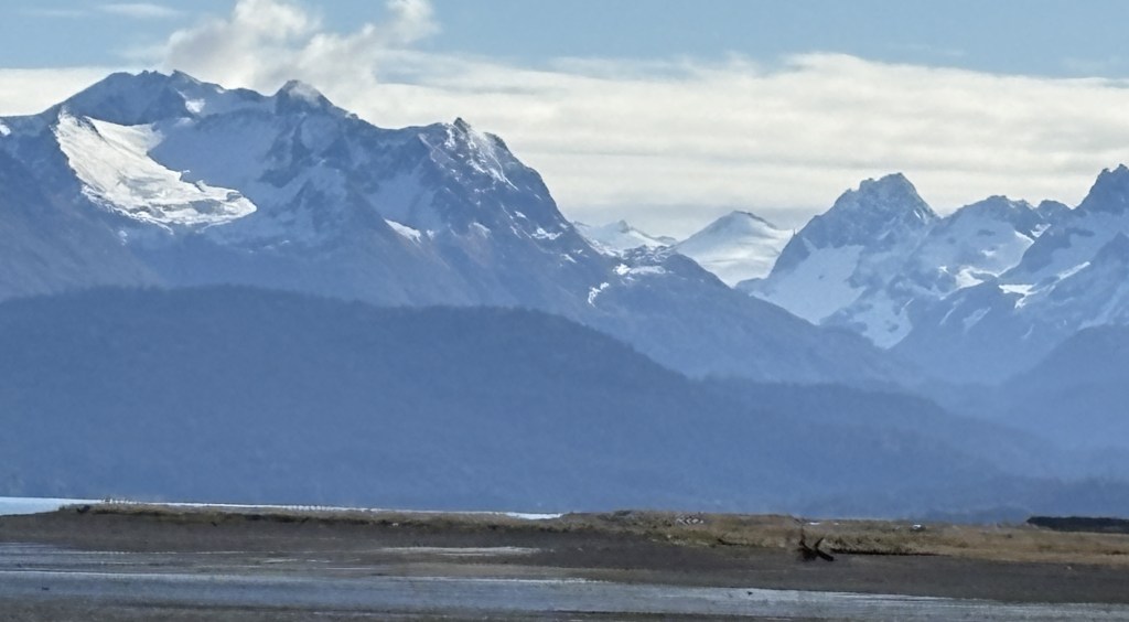
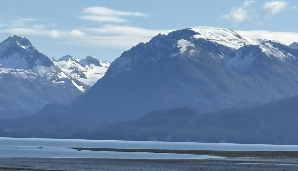
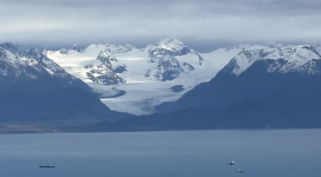
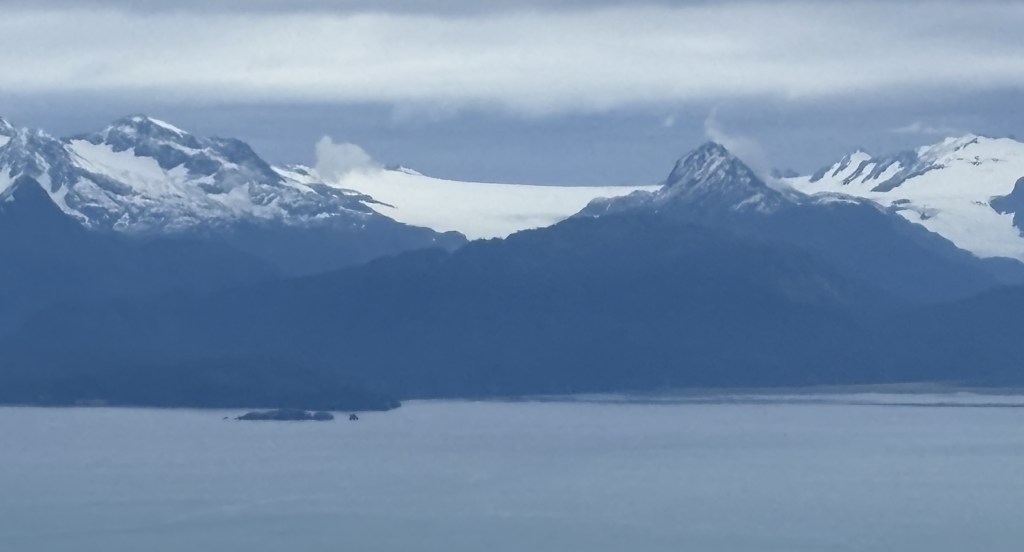
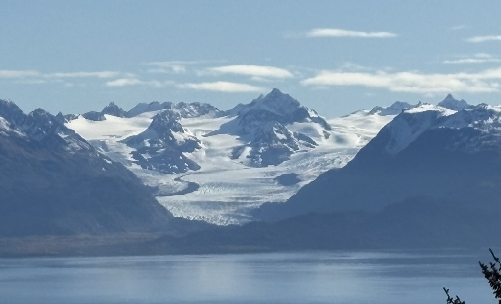
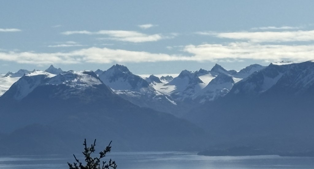
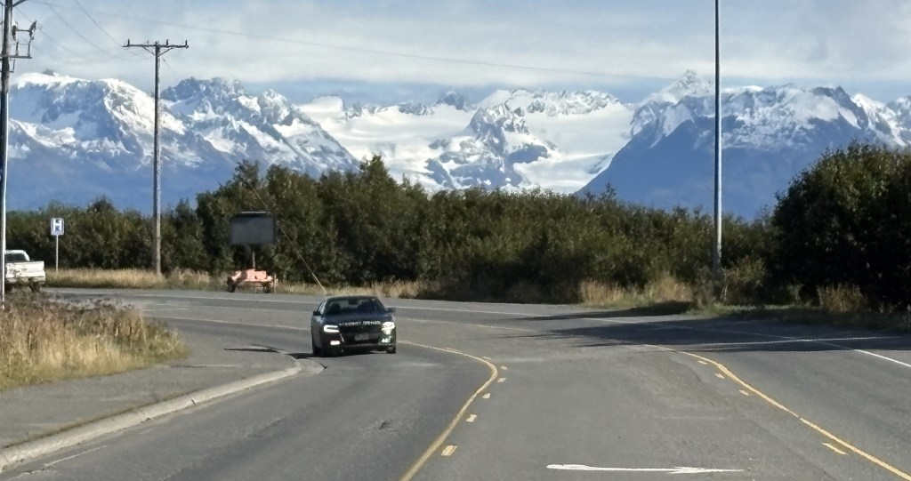
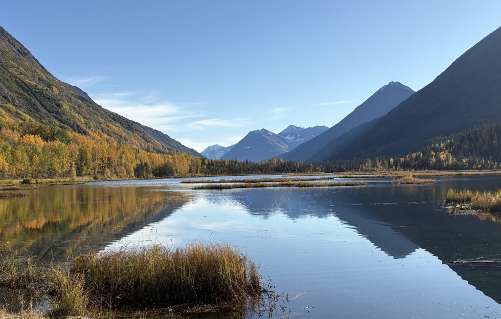
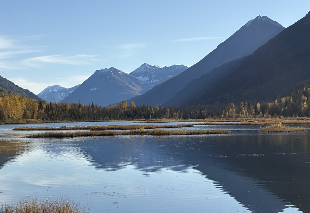
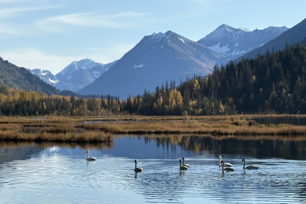
I finally got to Tern Lake, which is where the road I was on met the road which had taken me to Seward and Whittier. The photos I posted from the lake previously were plagued by low clouds but today was mostly clear.

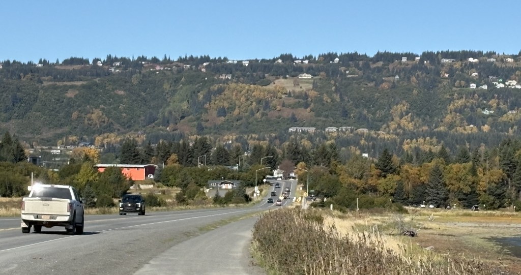
It had taken me 3 1/2 hours to get this far and I still had a long ways to go.

The Homer Spit – Part 1 of 2

September 29, 2025

I tried posting this yesterday before Part 2 but for some reason it didn’t go through properly.

As I explained in a previous post, the Home Spit is a stretch of land that juts out 4 1/2 miles into Kachemak Bay. I drove out there just after noon and these are some of the things I saw.

The first place I stopped was at a large campground. There were only a few vehicles parked there but there wasn’t anyone camping. I was told it gets incredibly busy there in the summer but it is almost October and the people who parked here were probably walking, jogging or bicycling. As you can see, the campground sits just above sea level.

As I drove back up to the road I was not at all surprised to see this sign.

I was closer to the mountains on the far side of the Bay so I had a better look at them, as well as some of the glaciers.

This was looking back at the mainland. You can see that the hill above Homer is fairly high.

There was a sports arena further out the Spit.

There were also several fishing and marine related businesses and offices.

Just before I reached the large harbor I came to this well known fishing hole which I had read about.

I’m not a fisherman but apparently “snagging” is the term for hooking a fish somewhere other than in it’s mouth.

This is the harbor where all the boats in Homer are docked. I had been told to keep an eye out for a ship featured on “The Deadliest Catch” tv show, which is often docked here when not out filming, but I did not see it. The Deep Sea dock (upper right on the map shown below) is where cruise ships dock to load or unload their passengers

I had read that at one time a local woman attracted quite a following by feeding bald eagles out at the far end of the Spit, but after her passing that practice is no longer allowed.

Beyond the harbor are several restaurants, boat charter businesses (fishing or sightseeing), as well as a variety of shops and art galleries. I will show you some of them in Part 2 of this post. There was also another campground and even some apartment buildings. There is a resort at the far end of the Spit.

The Spit dropped 2 or 3 feet as a result of the 1964 earthquake, centered east of Anchorage, and parts of the Spit now flood at high tide. Newer buildings and walkways are raised up off the ground to protect them from minor flooding.

(Continued next post)

Homer, Alaska

September 29, 2025

Here are more photos from in and around Homer. First, a few more photos that I actually took yesterday . The first two are a closer look at two of the glaciers which were in the panorama shots I posted yesterday. There are also three from something called a Fen, which was very close to the overlook located high over town. I will include a sign located there which explains what it is.

And here is the Kachemak Headwater Fen, located just a short ways up the road from the viewpoint overlooking the Bay.

I stopped at the Fen several times during my stay in Homer, hoping I might see moose or other animals. I never saw a thing. It was a very peaceful place, though.

I had arrived on a Sunday and the Visitor Center wasn’t open, although they did have maps located outside and that was how I was able to find the high overlook. I went there first today and took some photos before driving down into town when the Visitor Center opened.

First, a little bit closer look at the far end of Homer Spit, which was now getting the morning sun.

I drove further east on some of the high roads hoping to get a look “around the corner” of the Bay but didn’t have much luck. Trees were blocking the view many places, and when I reached a point where I could go no further I turned around and headed back to the overlook.

This was a quirky little structure located in front of a house that was for sale. I’m not quite sure what the purpose of it is other than as a landmark to help people find the house, which wasn’t visible from the road.

These were some of the things I saw from further east of the overlook. These were taken just after 9am and the sun was coming up over the mountains to the south.

I drove into town and spent a good bit of time at the Visitor Center. Here is a map of town, and the Spit, from above.

I had gone outside a little after midnight to see if I could spot the Northern Lights. Most of the places I had been so far in Alaska were plagued with cloudy skies (when I arrived in the state I was told it was the “rainy season”). The sky was crystal clear and the stars were amazing. Because I was above town there was no light pollution and I wished I had a telescope. But no Lights.

While I was at the Visitor Center the person there asked me “Oh, did you see the Lights last night?” and I told her no, I had gone out a little after midnight with no luck. She said “Oh, they were at 2 and they were really “dancing””. Terrific.

I drove back to the overlook high above town. It was now just after noon and the sun was pretty high in the sky.

And this is a look at town from above. I never found a central business district. Many of the businesses were along the highway I had come in on.

Homer has a population of around 6,000 people. The town is listed with an elevation of 95 feet. Homer was formed in 1964, the same month as the big earthquake up near Anchorage. The already-close-to-sea-level Spit dropped by 2-3 feet in places and some areas now experience flooding at high tide. Other than the harbor, there wasn’t any severe damage in Homer, and no lives were lost.

Next – a trip out on the Homer Spit.

Arrival in Homer, Alaska

September 28, 2025

When I finally made it to Homer my first stop was at an overlook just off the highway. It was fairly high on a hill overlooking most of Kachemak Bay. The mountains you will see across the Bay are part of the Kenai Peninsula, on which Homer sits. The Bay wraps around further to the left

The first 7 pictures will form a panorama looking from left to right from this vantage point. I will later find an even higher point from which to view the Bay and there will be similar photos in future posts.

Here is a panoramic shot I took with my phone. It ends up being much smaller than a regular photo.

And here is an experiment. I copied another panorama photo and cropped it into two parts. I am posting them here so I can see how each type of photo appears on the blog.

Those last two were taken from the other viewpoint I mentioned above. It overlooks the town of Homer, and I will be spending quite a bit of time up there.

The land mass which juts out into Kachemak Bay is the Homer Spit. I had never heard the word spit used to describe a geographic feature until I was on Vancouver Island in British Columbia my first week in western Canada. When I stayed in Campbell River that town had a spit which went out into the water.

The Homer Spit goes out about 4 1/2 miles and there are a number of businesses and a large boat harbor out there. I will have photos in a future post.

For now, here is a better photo of it from the high viewpoint.

It is connected to land (without a bridge) and the highway goes out almost all the way to the end, where a resort is located.

After I left the first overlook I drove into town and at one point had this view from the highway.

Those are one (or two) of the glaciers on the far mountains. There will be more photos of them in future posts.

This was my Airbnb while I stayed in Homer. It was high up on a mountain above town, not far from the high viewpoint.

It is a recently renovated cabin and I had the whole place to myself. I called the co-owner as I was leaving Homer to tell him that it was one of the nicest Airbnb’s I had stayed in. He and his brother inherited it from their parents and decided to make some changes to it and list it on Airbnb.

Wait. What??

September 28, 2025

As I continued my drive from Seward to Homer I had now driven out of the mountains and wasn’t expecting to see any more until I got to Homer. There frankly wasn’t much to see, and when I got to the Kenai Wildlife Refuge (in prior post) I discovered that a large part of it had suffered a wildfire, and trees in that area were mostly bare.

I was shocked when further down the road I saw this ahead of me:

I stopped and texted that photo to some family and friends, expressing my surprise at seeing such a large mountain ahead of me. It didn’t dawn on me until almost two hours later exactly what I was seeing.

I had failed to grasp the fact that I was driving west for quite a while before turning south. What I was seeing was Mount Redoubt, a volcano, across Cook Inlet and in Lake Clark National Park, on the “mainland” of Alaska (I was now on the Kenai Peninsula). This became clearer as I drove south and could see it, and another large volcano, now on my right and across Cook Inlet.

Once I got closer to Homer there was a pullout where I had a fairly good view.

This is another photo of Mount Redoubt, with Cook Inlet in the foreground:

And here is a closeup using the digital camera with a zoom lens:

For some reason my digital camera makes snow look much darker than it is.

Mount Redoubt is 10,197 feet tall and is considered a highly active volcano, even though it wasn’t emitting steam or lava at the moment. The most recent eruption was in 2009.

To the south of Mount Redoubt I could also see Mount Iliamna, another active volcano. Again, you can see Cook Inlet beyond the brown grass in the foreground and, like Mount Denali, there is a range of shorter black mountains in front of the higher peaks.

And a closeup of the main peak.

Mount Iliamna is 10,016 feet tall and is much less of a threat for a major eruption.

A third mountain I could see to the northwest may be Mount Spurr. It is located 80 miles due west of Anchorage and I was actually concerned about the possibility of it erupting during my trip.

I showed that photo to someone in the Homer Visitor Center and she agreed that it is probably Mount Spurr. When I first arrived in Canada on this trip, and was out on Vancouver Island, there was a tsunami alert issued for coastal British Columbia and the northwest United States after a major earthquake in Russia. I actually altered my plans for the next day on Vancouver Island, though there were no significant waves reported. I did read, however, that Mount Spurr in Alaska showed some signs of life after the earthquake in Russia, although it calmed down a few days later.

Mount Spurr is roughly 80 miles due west of Anchorage. Scientists monitor it very closely as the last time there was even a minor eruption, the volcanic ash caused problems in and around Anchorage.

I will make another post with photos taken after my arrival in Homer.