More Moose in Anchorage!

September 25, 2025

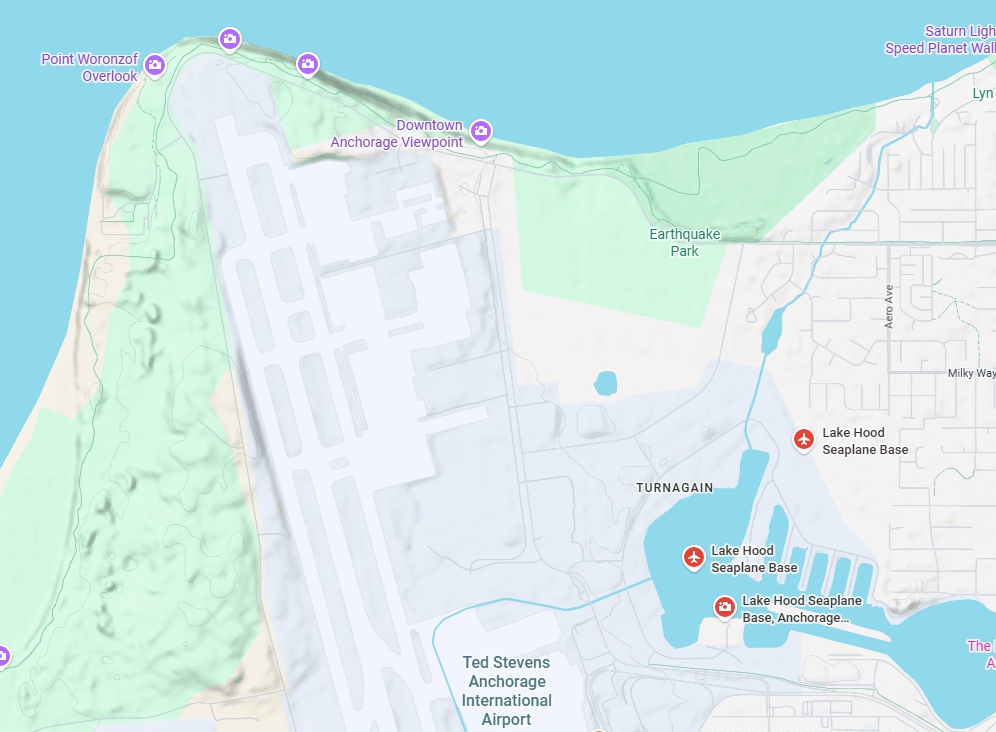
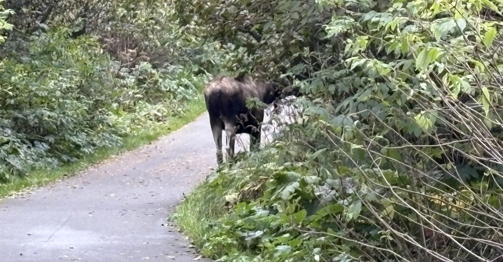
After my daytrip to Hatcher Pass I decided to revisit some of the overlooks north of the airport in Anchorage (where I had seen a moose yesterday), hoping lightning might strike twice.

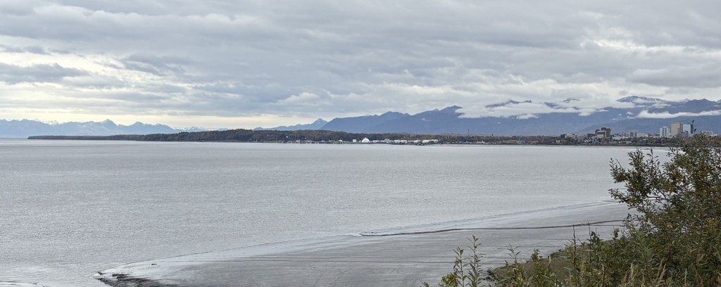
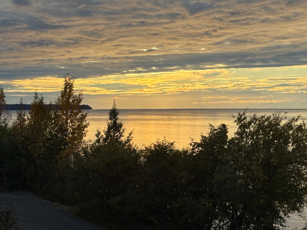
This is looking out at the soon-to-set sun (still up in the clouds). It was taken from one of the overlooks which is right at the end of the main runway at the airport (but located downhill near the water), and every few minutes a jet would come roaring overhead.

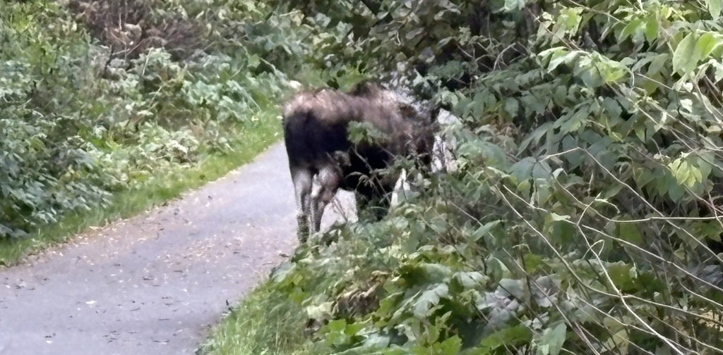
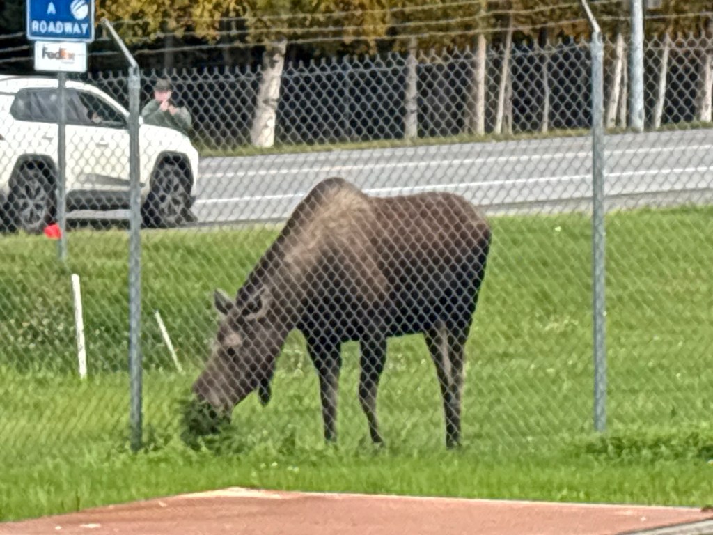
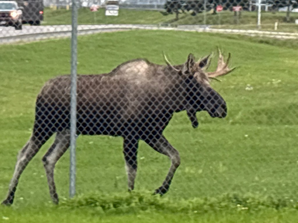
I stayed at the overlook a little while longer to watch the planes and then started driving back towards downtown Anchorage, planning to stop at a few other parking areas. When I got to an access road for the airport I spotted 3 moose, not far off the road. I pulled off right next to the road I was on and got out with my smartphone.

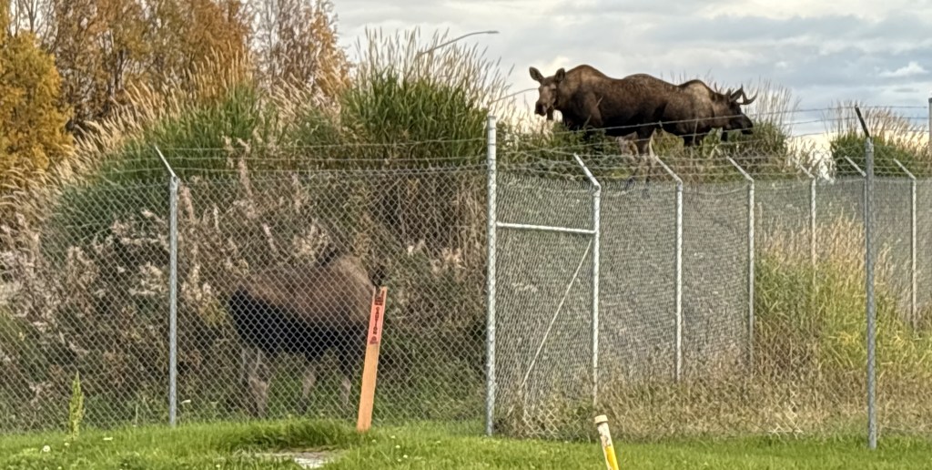
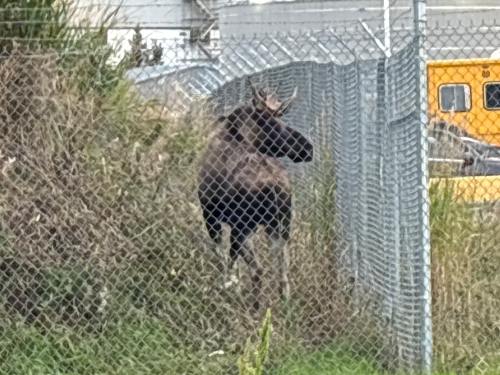
Two cows and a bull (one of the cows is in the lower left, next to the orange marker) were on or near a little hill. It looks like they were penned in by fences but the area to the left is wide open as you will see shortly. They really liked the little hill, and moved around a good bit. I stayed near my car but on the side opposite the road so I didn’t get hit by someone else who might be distracted by the sighting. The moose were on the other side of the fence so I didn’t worry about being so close.

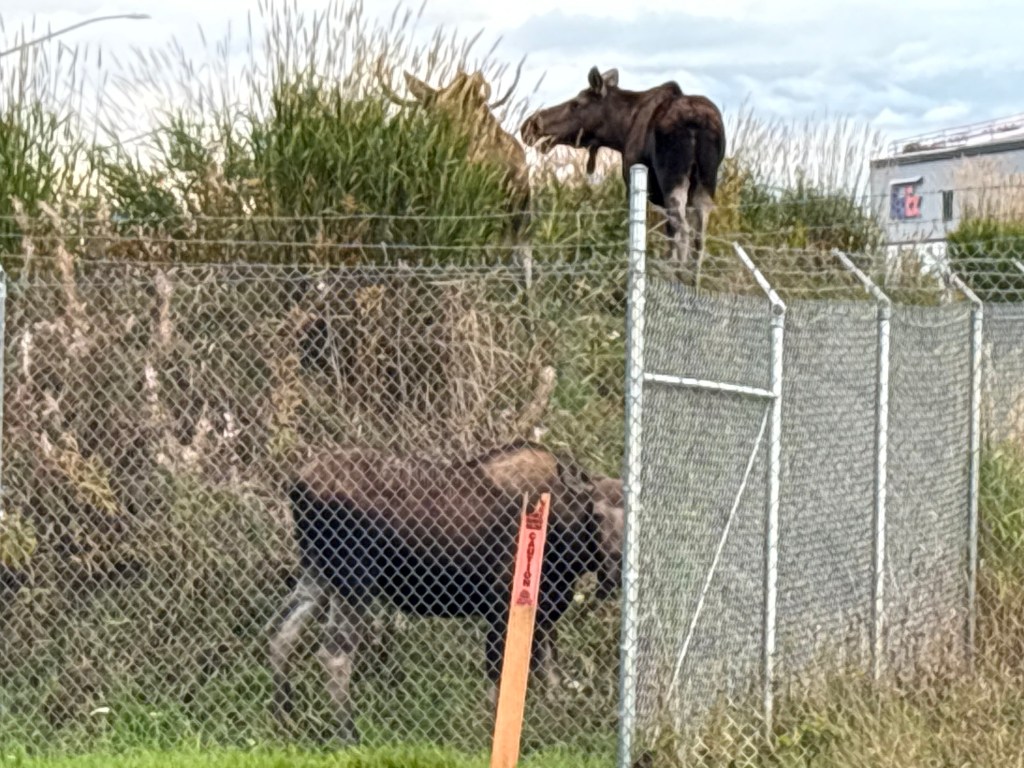
Soon the bull came down to the corner and the two cows were on top on the hill.

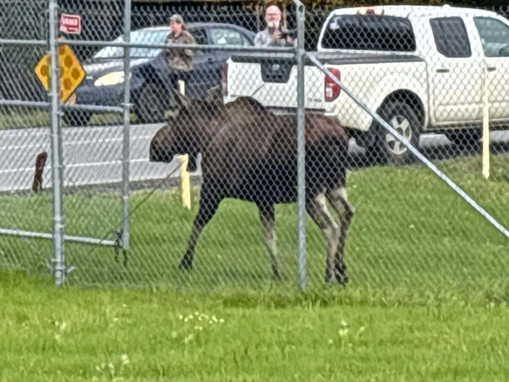
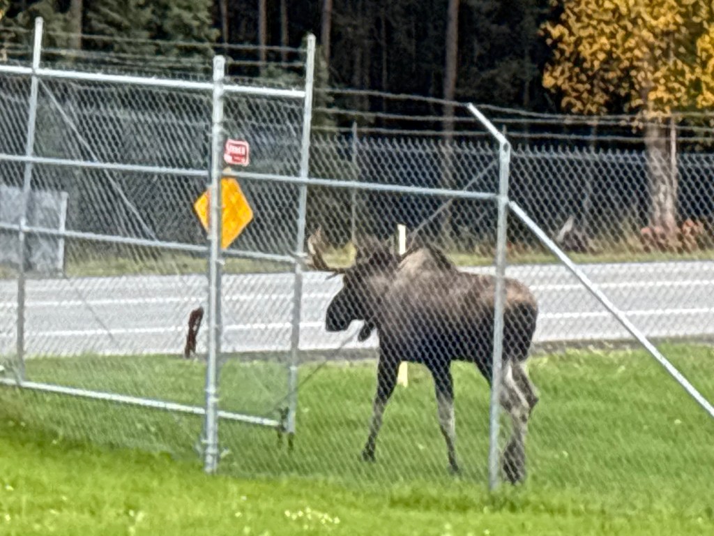
One of the cows started making a move toward the gate where vehicular traffic can enter or exit the airport (not the main entrance, but probably for workers), and where the moose could “escape” to the side of the fence I was on.

She stopped because she saw something yummy to eat.

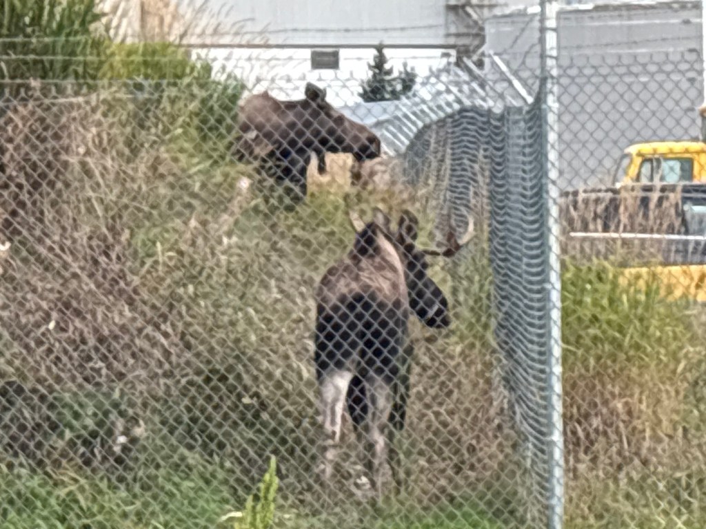
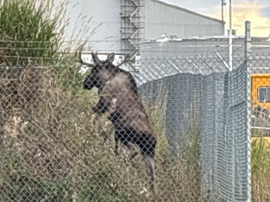
She finally made her move for “freedom”

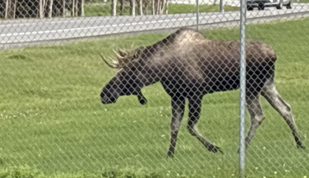
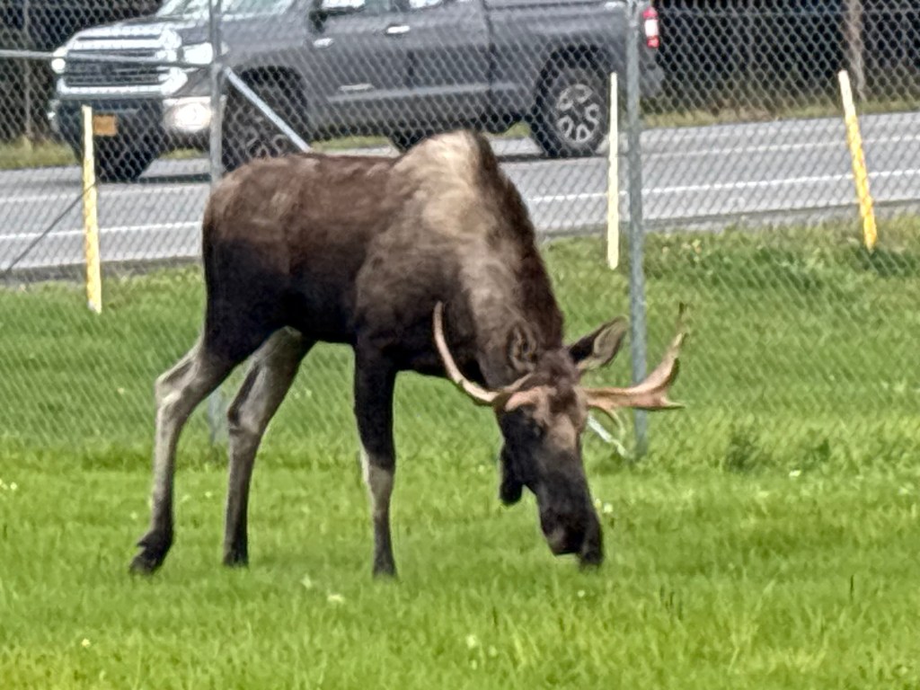
Meanwhile the bull was following her. He would stop (to eat) before he got out and would eventually go back to the hill.

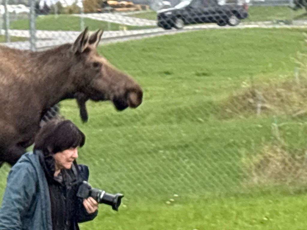
The cow came around the end of the fence and I had moved back to the “street side” of my car. You can still see the bull’s legs inside the fence on the other side of her.

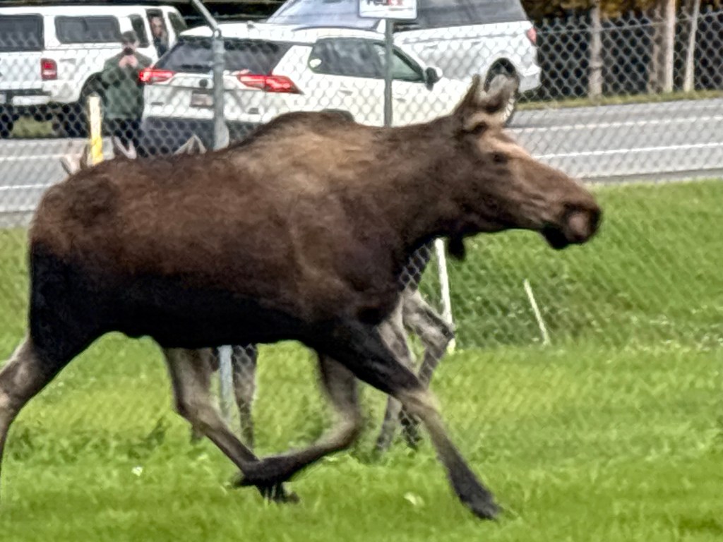
I had already warned the woman in the photo below to keep back and she was now running for cover (and there wasn’t much distance separating them).

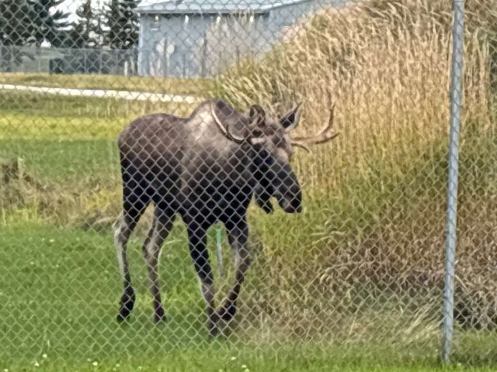
Then here came cow #2, making her escape. She had evidently walked right past the bull and why he didn’t follow her I don’t know.

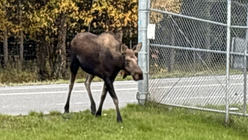
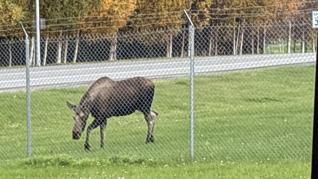
Both of the cows went off to an area just out of view to munch on vegetation on a nearby hillside.

Meanwhile, the bull had retreated to the fence side of the hill, but could see the two cows who had gotten out.

He climbed the hill…

and came toward me. I thought he was going to go right back to the corner…

but he turned around and I thought he was going to go out the gate…

but then he changed his mind and went back towards the corner.

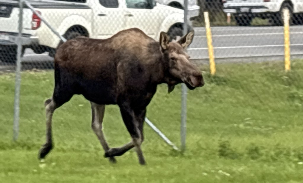
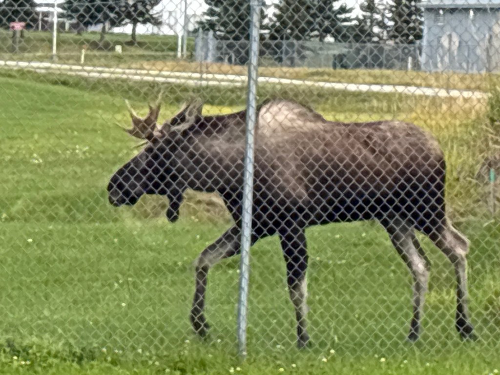
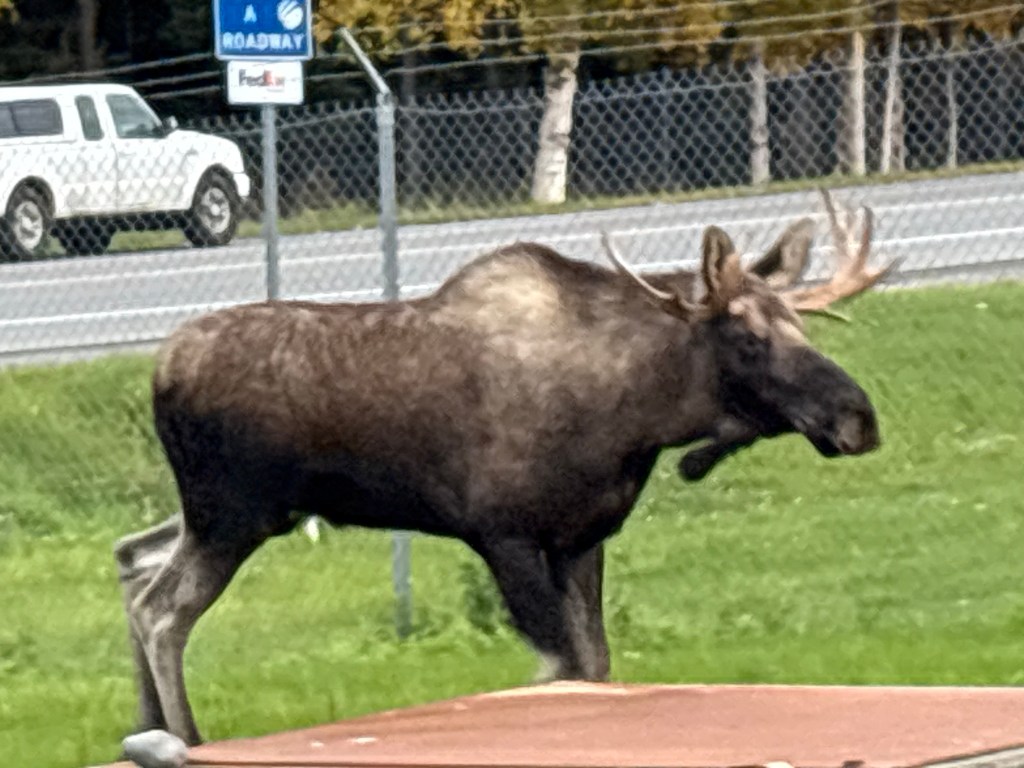
He finally made his way to the gate (perhaps because there were no longer cars and people hanging out close to it).

And he was out!

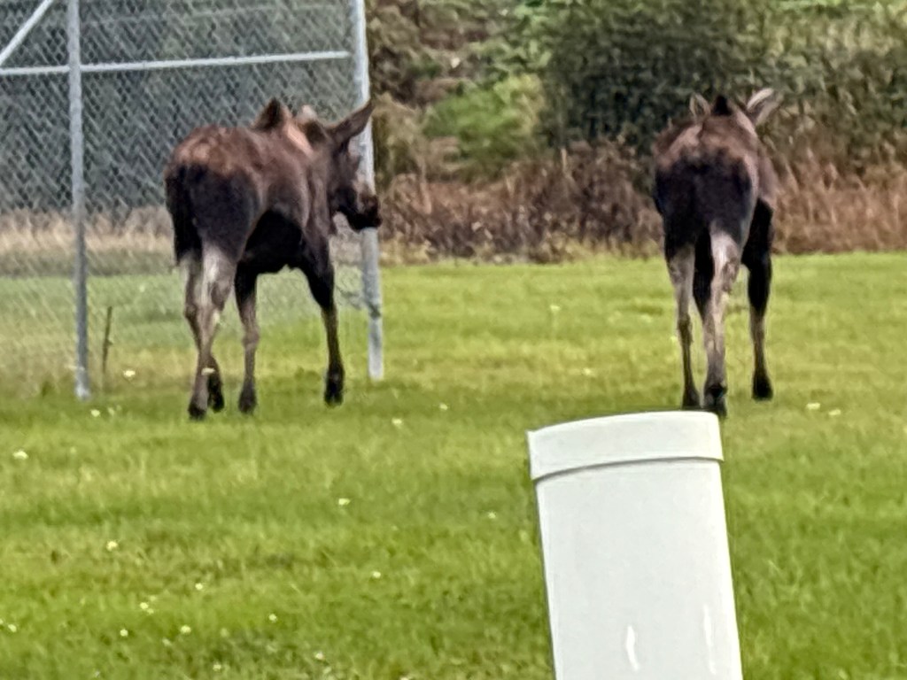
He soon trotted over to where the 2 cows had gone.

I THOUGHT I had started taking video after taking the photo above but was sadly mistaken. When I realized my phone wasn’t recording he had already reached where the 2 cows were.

According to the time stamps on the photos, the whole process took about 8 minutes.

My day in Anchorage

September 24, 2025

I would spend the day in Anchorage and spent most of my time out by their International Airport which is located west of downtown, adjacent to Cook Inlet.

I am adding some more text here to try and get the map below to show up a little bigger in the post!

(Photo credit: Google Maps)

Cook Inlet is on to the left on the map and is a large body of water which comes up from the ocean. North of town it curves to the east and is called the Knik Arm (and there is a Knik River which the highway crossed as I drove in to town).

My first stop was Earthquake Park, which is in the upper right portion of the map. This was where much of the deadly damage occurred in the tragic Good Friday Earthquake which struck at 5:36 pm on March 27, 1964. The quake measured 9.2 and was centered about 80 miles east of town. It generated more energy than the eruption of Mount St. Helens.

A swath of land adjacent to where Earthquake Park now sits literally slid into the Knik Arm, taking 75 homes with it. The fact that it occurred late in the afternoon undoubtedly saved countless lives. Signage at the Park stated that parts of town dropped 15 feet, and 9 people died.

Here are some photos that were on signs in the Park.

The photo below was taken in Seward, where I will be going in three days.

When I was in Homer (coming up later in my trip, after Seward) a nice woman in the Visitor Center gave me a book about the earthquake but I haven’t had a chance to read it yet. I did learn with a little research online that both Valdez and Seward had considerable damage from the quake and they are even further away. In Seward 13 people died, and there were 40-foot waves which struck the town at an estimated 100 miles per hour. In Valdez, where only 1,200 people lived at the time, there was so much damage that they rebuilt the town 4 miles east of where it once was.


After walking around Earthquake Park for a while I drove further out the small coastal road to another small park with a view of the Knik Arm. There was this view of downtown Anchorage.

And looking north there was a view of the inland mountains near Talkeetna.

When I drove even further out the coastal road there was a sign indicating that on a clear day you could see Mt. Denali (if it was not shrouded in clouds). They had a photo posted as proof.

It shows Mt. Foraker, Mt. Hunter and Mt. Denali (from left to right). Keep in might that those mountains are angled from southwest to northeast, and Foraker is closer than Denali. The spots in the photo are bugs on the sign!

I drove out the coastal road even further to Point Woronzof Overlook which gave a better view looking west, over Cook Inlet, to some mountains and volcanoes in that direction. I thought I could drive all the way around the airport but came to a gate where the signs indicated that it was restricted so I turned around and started driving back towards town.

As I approached one of the small areas where I had stopped previously I saw a bull moose trotting along the left side of the road away from me. There was a Fed Ex truck behind me and couldn’t stop to get my phone up for a photo, but the moose turned left and went into the woods. I knew there was another place to park not far up the road. I went there and found that there was a paved walking/bicycle path which lead back towards where the moose had entered the woods.

I started walking on the path and came to a group of people who had stopped. Sure enough, the moose was a little further ahead casually munching on some low hanging branches of a tree.

Shortly after that he turned right and walked even deeper in the woods. I could still see him, barely, and but those photos aren’t very good, and I soon lost track of him. I went back to where I had parked and waited a while, as he had been heading in that direction, but I never saw him again.

Next I drove around the airport on the Anchorage side to visit a huge city park (Kincaid Park) located between the airport and Cook Inlet. I had read, and other Airbnb guests had told me, that moose are frequently seen there. I spent quite a bit of time there, moving around to different parking lots and walking on some of the paths, but didn’t have any luck.

Last, I drove back around the airport and went to a large lake located near airport property (shown on the map at the beginning of this post). Most of it is Lake Hood which has a seaplane base they claim hosts more seaplanes than anywhere else in the US.

There were lots more planes but I somehow felt like I was trespassing so I didn’t linger. I went back to where I had driven in because a seaplane had taken off near there as I was arriving. I was hoping I might see another one “taxi” to that spot to take off but it didn’t happen. A few planes came in to land but by the time they touched the water they were out of sight.

There were small planes and seaplanes flying low over Anchorage all the time. I don’t think I’ve ever been in a large town with planes flying that low. Of course there are several small airports scattered around town, too, so perhaps that is why there were so many.

I will make another post about Earthquake Park once I have had a chance to read the book I was given, and have had time to do more research.