5 weeks in – a JohnBoy travel update

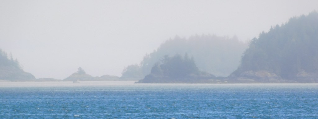
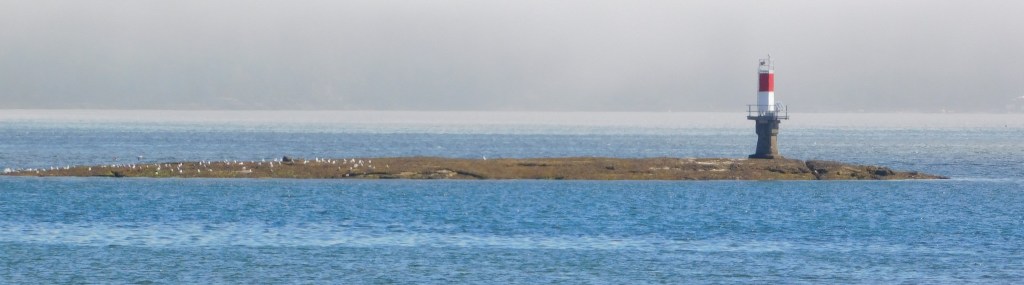
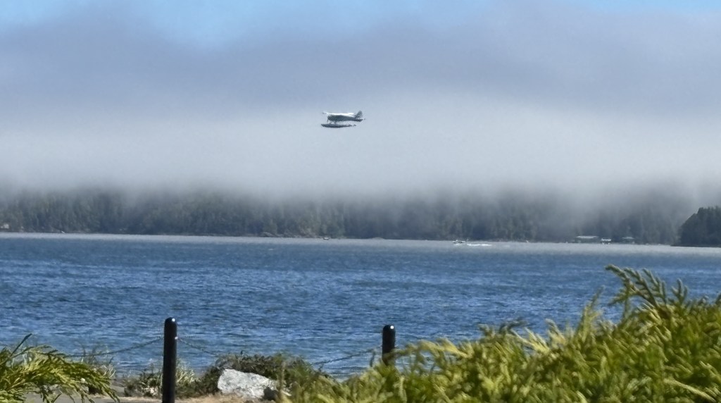
Sunday, August 31 marked the end of 5 of my planned 8 weeks in western Canada. So far everything is going exceptionally well. I am behind with posting photos which means every day is filled with new adventures. I am prepared to post my photos of the first National Park I visited in the Canadian Rockies but can’t find my Park maps on which I made many notes which I need to reference. The back seat of my car looks like a bomb went off, and I need to root through it and find them. Of course, they aren’t where I thought they were…

As I write this I am in Red Deer, Alberta – finishing the first of 3 nights here. I was in for a shock yesterday morning as I drove up here from High River, AB, south of Calgary. After I bypassed Calgary to the east on Highway 2, a major north/south route, I continued north towards Red Deer (about halfway between Calgary and Edmonton) where I was greeted by a very noticeable low brown cloud of haze. It didn’t smell like smoke, and I wasn’t aware of anything going on in the immediate vicinity, but there it was. I drove a little past Red Deer and it seemed to improve somewhat so I just chalked it up to smog, even though Red Deer only has a population of about 113,000 people.

Overall visibility after I left Castlegar and drove east of the Canadian Rockies Sunday morning was not that great and I thought maybe it was just high pressure keeping whatever was in the air close to the ground. Well, this morning I learned that an air quality alert of over 10 (they call it 10+ on a scale of 1 to 10!) has been issued for little Red Deer. It seems that smoke from a massive wildfire up in the Northwest Territories (a large province due north of Alberta and Saskatchewan) has made its way south. In the last day or two I had read about a big wildfire up in Yellowknife (in the NWT) but didn’t pay much attention because it is 1,000 miles north of here and I wasn’t going much further north than Edmonton. Well, nature works in mysterious ways…

Environment Canada says it is supposed to clear out of here in the next day or two. Today I am planning to drive about 50 miles west to “The Cowboy Highway,” Route 22, the southern part of which I had driven on to get to High River on Sunday. Route 22 has been on my list of scenic roads here and I am sticking with that plan. Other than photo ops I will be in the car with the A/C on “recirculate” so hopefully whatever is in the air won’t bother me. I am tempted to just hunker down and stay inside for the day but I figure one day won’t kill me… If I start out this morning and the haze has gotten any worse I will retreat to my Airbnb and prepare more photos for posting. When I leave Red Deer Thursday morning, I will be driving much further west and should be away from the NWT and the smoke for good. Everything on my route going forward looks fine.

The other travel news is that I am moving my trip to Alaska UP by a week and will start heading north Wednesday of next week! I have decided to hightail it up there and get it in sooner rather than later and then retreat in a more leisurely fashion and finish my time in British Columbia on my way back to the US. I had already booked things through Prince George, BC and will drive north and west from there. I don’t have the itinerary set yet but am hoping to be in Alaska 4 or 5 weeks depending on the weather. I am still on the original overall plan, just rearranging the order in which I’m doing things.


So as of Sunday, 5 weeks in to my original plan, I have driven 6,225 miles in Canada, and a total of 10,825 miles since leaving Durham the morning of July 1.

I just had my oil and filters changed and had the tires rotated so I am all set for the next 10,000 miles! Bring it on!

My stay in the Vancouver area

I had reserved four nights near Vancouver, hoping to explore the city and the many beautiful sites I’ve heard so much about. My visit got off on the wrong foot, as I documented in a previous post, with an Airbnb venue problem. That plus the fact that I hadn’t budgeted nearly enough time, plus the fact that the public transportation into the city wasn’t to my liking, plus the fact that I’ve read Vancouver is being overrun with tourists (and is already a very busy city), plus other factors, led me to ignore the city on this visit altogether!! I will come back better prepared at the end of this trip, especially since I now know I will be cutting back in other areas of the country due to air quality issues, etc. I would rather take the time to do better planning and give Vancouver the attention it deserves.

I already explained my disagreement with the Surrey Visitor Centre. Here is proof of the exorbitant parking fee I had to pay just to go in the building and find that they weren’t even there any more. I became even more upset this morning when I saw this photo as I was reviewing photos to post and saw that the city even added TAX to the parking fee!!

Fortunately I was easily distracted by something I had seen on my way there. My mind is always distracted by new “shiny objects,” and this one was indeed shiny.

THAT is a spiffy new Ford F-650 Crew Cab pickup truck, outfitted with a removeable camper called Bigfoot. I saw it parked in front of a house as I was driving on a city street, and after I passed it I turned around to go back and get a photo. I was alarmed when I saw it pulling out of where it had been parked and was prepared to pursue it (within reason). Fortunately the driver was only moving it across the street so he could get another vehicle out of his driveway.

My comparatively tiny Toyota Camry parked in front of it:

I spent a few minutes speaking with the owner, who proudly proclaimed the truck is one of only two in the area (camper sold separately). There was a sign in the back window indicating the owner is evidently in the septic system cleaning business, and clearly business is very good! Ironically (and I mean that in the very literal sense of the word) he was wearing a UNC Tarheels t-shirt! I pointed to it and asked if he had gone to school there (he was probably in his late 20’s). He replied no, he had bought it at local thrift shop for just a few bucks.

Those of you who know me are keenly aware of my obsession with buying unusual new t-shirts for only a few bucks at one of my favorite chain stores in the Mid-Atlantic states, so between the cool truck and the t-shirt story it helped make my day and get my mind off the goofy parking fee.

Another thing that impressed me during my brief stay near Vancouver were it’s many bridges. I will show you three of the ones I used personally. Most of these photos I found on the internet. Believe me I tried to find places where I could take my own photos but that quickly became a huge waste of time.

The first one I crossed was the Pattullo Bridge. As I crossed the old bridge I could see the ongoing construction of a much larger new bridge right next to it. For this one I have to resort to internet photos:

The old bridge, on the left, still in use:

(Photo credit: readsitenews.com)

You can see them beginning to build the concrete superstructure supports in the center of the photo above. They are much further along now than when that photo was taken.

The new bridge. The photo below is pretty much how it looked the day I drove over the old bridge:

(Photo credit: TI Corp)

And to prove my point about it being a waste of time trying to take my own photos, I went out of my way to go to a place called Bridgeview Park. This was all I got for that effort:

I tried.

Another bridge I crossed several times while I was in the area is the Port Mann bridge. Perseverance paid off as I was finally able to find a nearby city street where I could get a good photo of it:

And finally, the Golden Ears Bridge, which I probably crossed at least a dozen time while I was staying in Maple Ridge.

(Photo credit: hgcacoustics.com)

I’ve tried to enlarge that photo but don’t seem to be able to. I don’t know why it was so difficult to find a photo of this beautiful bridge. I want to get this post finished but will try to find a better photo later and replace the one above.

Port Hardy

After making a few stops on the way up from Campbell River I arrived in Port Hardy around lunchtime. I bought some fast food at an establishment in town and took it down by the water to enjoy it in a small city park, under a shelter.

There was a pretty heavy marine layer (clouds close to the ground near the water) when I arrived. I could see there were some small islands out there but I waited a while for them to become a little more visible.

After I ate and enjoyed the solitude for a while I was going to start exploring the town. Just before I left to do that I saw a man standing not far from where I was, staring up into a tree. I walked around to take a look and saw this large hawk, hidden in the tree’s branches.

It didn’t take him long to spot me.

I left soon after that and drove around the little town. Not much to see, frankly, but there was a small park with some interesting items in it – like this:

Yes, that’s a 10-foot tall wooden carrot (which is located in Carrot Park). I will explain the significance of it in a moment.

I also saw a seaplane taking off from the water:

I came across this short, squat totem pole with its hand out. Not sure what the significance of that is but I will soon be doing some research on totem poles and hope to find out what the symbolism of the various portrayals are.

There was a nice memorial to soldiers from the town who lost their lives in various conflicts. I thought I had taken a photo of it but don’t see it in either camera.

I spotted this vehicle in town, getting ready to back out of the parking space it was in. Looks like they came prepared to have fun.

So now, the mystery of the carrot:

Remind me of someone in the US who is also referred to by the color that doesn’t rhyme with any other word.

As I was leaving town to head to my next destination I saw this bald eagle way up in the top of a tree by the city street I was on:

Downtown Victoria, BC

Monday I drove into downtown Victoria and parked in a multi-story Parkade deck about three blocks from the Inner Harbour. My plan was to walk to see many of the various attractions I had noted on my “things to do” list. I was a little concerned that the city and the attractions might be too crowded because large cruise ships dock near Victoria and discharge many of their passengers into town. It wasn’t nearly as bad as I feared it might be. Here are some of the things I saw as I walked around the city:

An “on the sidewalk” toilet:

A store selling some pretty amusing t-shirts:

Later in the day I saw two different people wearing the raven t-shirt. I believe what I saw out by the water was a crow, not a raven. Ravens have noticeably curved beaks while crows do not.

Some words of wisdom from the late Jimmy Dean (who died in 2010, yet still promotes his products in radio and tv ads):

A very hungry seagull which, surprisingly, I didn’t see all that many of as I walked around by the harbour.

City Hall:

Signs near Chinatown, including special street name signs:

I had to wait in order to walk out into the middle of the street for that one.

Some amusing signs:

Some nice tilework in an entryway to a courtyard in the open space between buildings:

But the thing that impressed me the most were all the baskets of pretty flowers hanging on the lamp posts around town:

They were everywhere. I think that always adds a nice look to a city street. I also walked around many residential streets near the harbour and they, too, were well adorned with pretty flower beds. The only place that overdid it a bit, IMHO, was the Empress Hotel, a swanky hotel near the harbour. Their display was quite gaudy and could have been cut way back without sacrificing anything.

I could have gone in to the Empress for high tea and sipped the nectar with my pinky extended but I’m too cheap.

I saw this statue near the harbour as well:

“I will now make this bird disappear by passing it through this horseshoe”

About a block from the Empress Hotel was this large whale topiary:

And finally, outside the ferry terminal building, an example why you might not want to buy a dark blue car instead of a lime green one:

Snake River – Swan Falls Dam

From Dedication Point (see previous post) I drove southeast along the top of the canyon to get to an overlook for a small dam which crosses the river. I should also mention that on the long, seemingly-straight road I showed you in the previous post, road planners threw in several 90 degree turns just to make sure I was paying attention. Now, as I drove southeast they threw in a 180 degree turn just to make sure I was REALLY paying attention.

Actually the 180 was to allow the road to descend through a series of switchbacks to get down to near river-level (where the camper was parked), for the dam workers and for recreational boaters to launch (above the dam). The 9o degree turns were to adjust for the river working its way northward as it flows west.

The view here was a little different from where I had just been but I will just cut to the chase and show you another panorama from this spot. You may be able to make out the dam in the right-hand side of the photo. Water levels along much of the river are controlled by a dam way back before the water gets to the Hells Canyon rapids, to try and maintain a constant water level after the snowmelt from the Seven Devil’s mountain range, and others, feed into it.

I didn’t stay at this location very long as my next viewing spot would open at 10 am and I still had a long drive to get there.

Going back to retrace my steps from Kuna this was driving northwest towards Dedication Point

When I started driving north towards Kuna and the dreaded interstate I noticed this just off the left side of the road:

“Look, honey, I found the only tree out here, so we can build our dream-nest in it!”

Once I got back to Kuna I headed west to get to another road which would take me south to return to the river. I was only a few miles west of where I had just been but the scenery was very different.

Lush farmer’s fields on both sides of the highway. What a difference some irrigation makes! More on that in a future post, but I’m not quite done with the Snake River just yet…

Snake River – Dedication Point

Monday when I went to the World Center for Birds of Prey in Boise, Idaho I learned that there were several viewing points “nearby” along my old friend the Snake River to possibly see some of the big birds in action. Those of you that have followed the blog for a while know of my posts from Oxbow Bend in Wyoming, near there the “Snake” starts its journey towards the Columbia River Gorge separating Washington State and Oregon; Hells Canyon, with its world-class rapids; and Twin Falls, Idaho and other towns with beautiful waterfalls.

I was told that early morning was the best time to try and catch sight of some birds go I left my Airbnb in Boise at first light and drove to the first stop on the map I was given, Dedication Point. From Boise I went several miles west on the dreaded interstate and took the exit for the town of Kuna. From there it would be 24 miles due south to get to the river, further than I expected.

Once I got south of Kuna it quickly became very open and desert-like. Here is a shot of the road heading south towards the river.

The river separates the land on this side of it from the higher terrain you see in the distance.

Once I arrived at the parking area it was a short walk down to the top of the canyon overlooking the river. There is an amusing JohnBoy story about an encounter I had in the parking lot but I will save it for another time. For now I want you to focus on the natural beauty I was about to experience.

This was the view looking to my left (east, where the river flows from)

Looking almost straight across to the other side

Looking down to where someone was camping next to the river

Towards the right, where there was a drop in water level (I later took a video of a small boat heading upstream and the captain know exactly which side to climb to get through without bottoming out).

And finally, looking right (west) as the river flows out of sight.

And here is a panorama of the entire scene

The sign near the parking lot showed the various big birds I might see at this location. In decreasing order by size – Golden Eagles, Turkey Vultures, Red-tailed Hawks, Swanson’s Hawks, Northern Harriers, Prairie Falcons and American Kestrels. This is a National Conservation Area and claims to have the highest density of nesting raptors in North America, and possibly the world.

Because I was up so high I saw nothing. Well, I did see some movement but they could have been pigeons for all I knew. Look back at the photo of the camper (which I had zoomed in on to the maximum extent my iPhone could). Tell me you could identify what bird a person standing next to it was holding on their arm…

Nevertheless it was a beautiful morning in a beautiful place and after I took the pictures I put my cameras away and just stood and enjoyed the moment for quite a while.