September 28, 2025
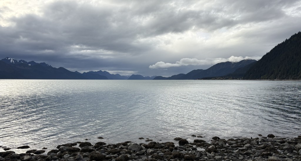
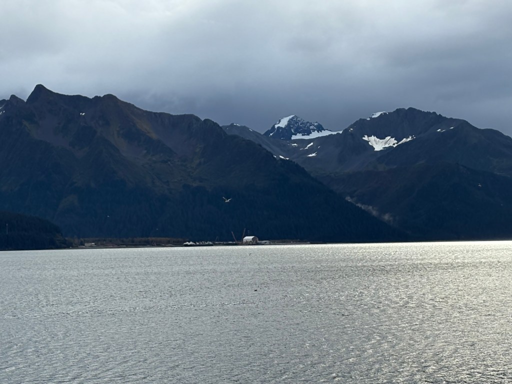
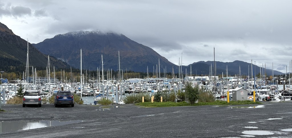
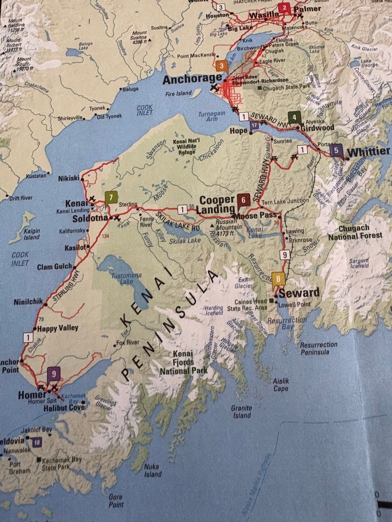
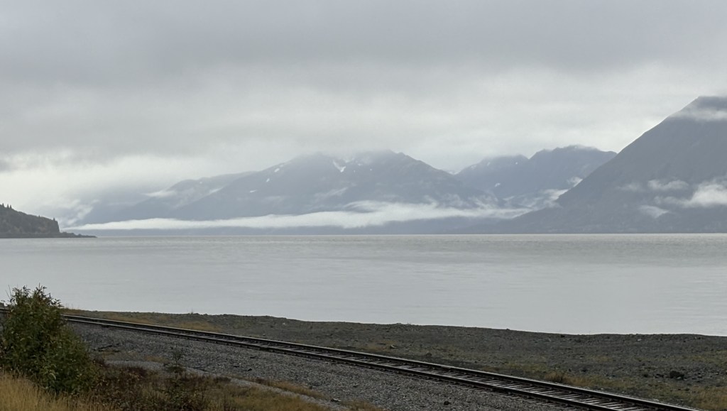
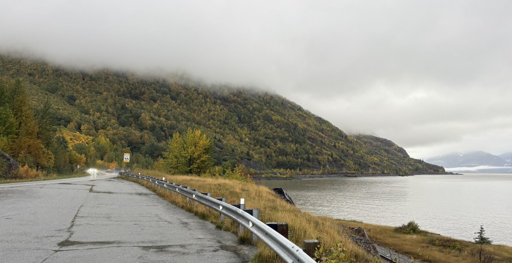
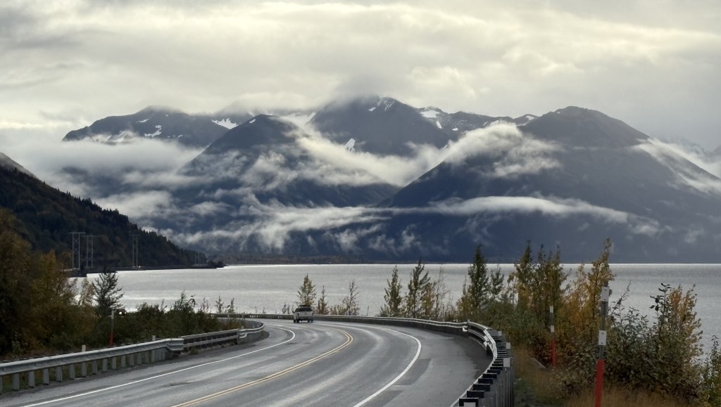
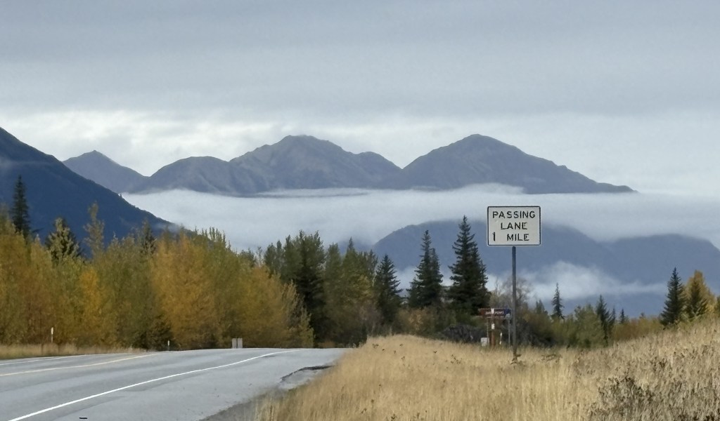
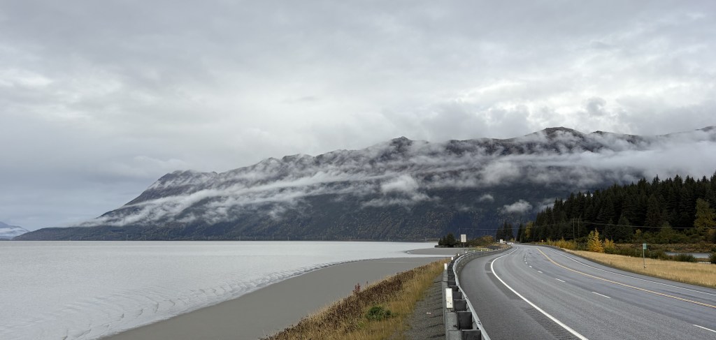
As I continued my drive from Seward to Homer I had now driven out of the mountains and wasn’t expecting to see any more until I got to Homer. There frankly wasn’t much to see, and when I got to the Kenai Wildlife Refuge (in prior post) I discovered that a large part of it had suffered a wildfire, and trees in that area were mostly bare.
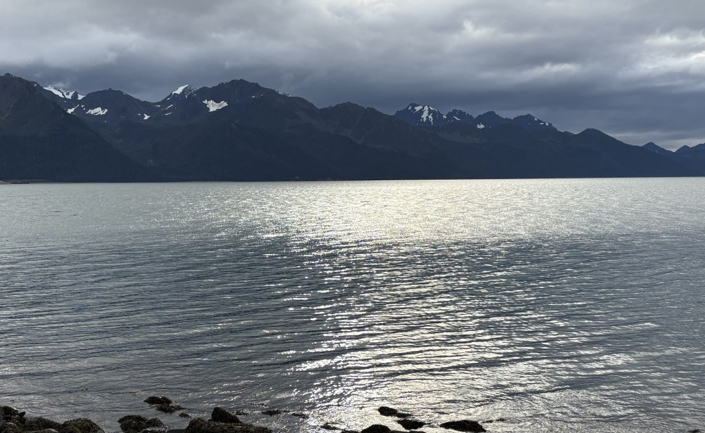
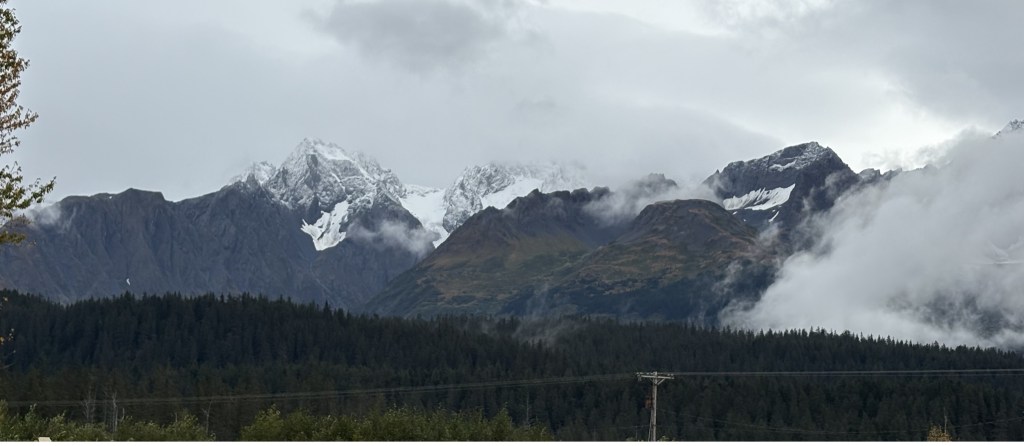
I was shocked when further down the road I saw this ahead of me:
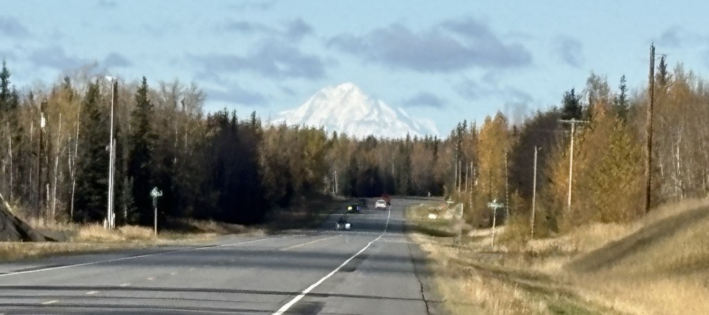
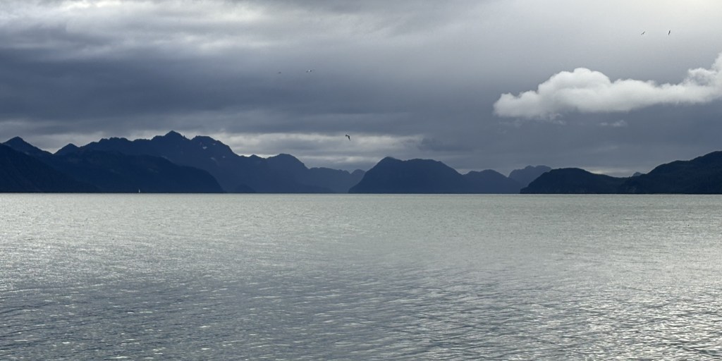
I stopped and texted that photo to some family and friends, expressing my surprise at seeing such a large mountain ahead of me. It didn’t dawn on me until almost two hours later exactly what I was seeing.
I had failed to grasp the fact that I was driving west for quite a while before turning south. What I was seeing was Mount Redoubt, a volcano, across Cook Inlet and in Lake Clark National Park, on the “mainland” of Alaska (I was now on the Kenai Peninsula). This became clearer as I drove south and could see it, and another large volcano, now on my right and across Cook Inlet.
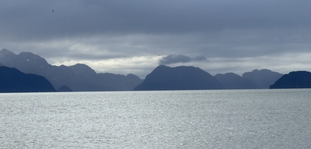
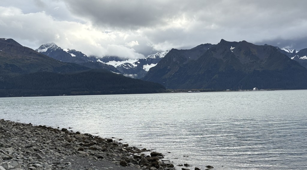
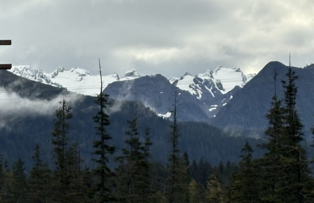
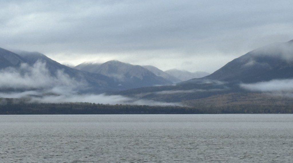
Once I got closer to Homer there was a pullout where I had a fairly good view.
This is another photo of Mount Redoubt, with Cook Inlet in the foreground:
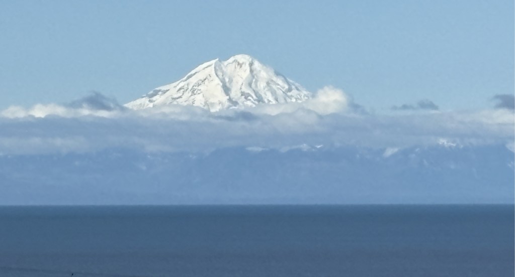
And here is a closeup using the digital camera with a zoom lens:
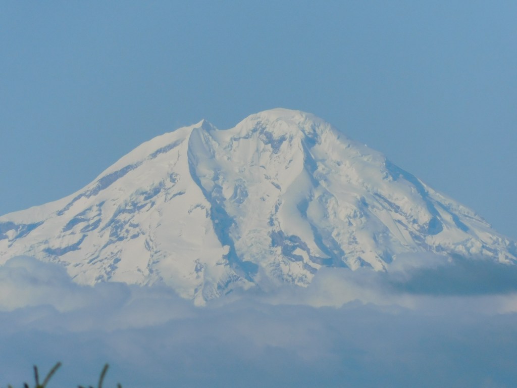
For some reason my digital camera makes snow look much darker than it is.
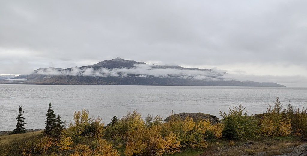
Mount Redoubt is 10,197 feet tall and is considered a highly active volcano, even though it wasn’t emitting steam or lava at the moment. The most recent eruption was in 2009.
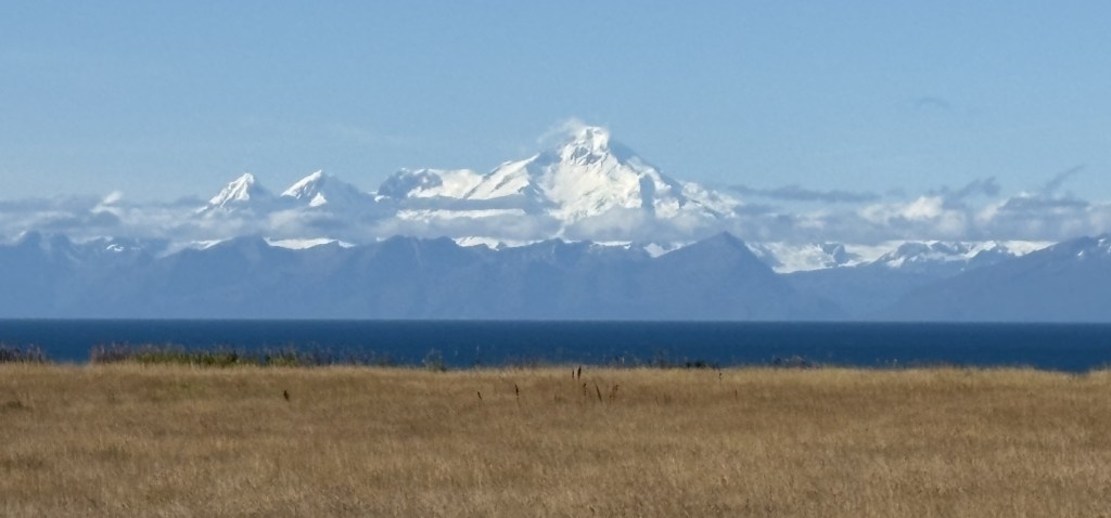
To the south of Mount Redoubt I could also see Mount Iliamna, another active volcano. Again, you can see Cook Inlet beyond the brown grass in the foreground and, like Mount Denali, there is a range of shorter black mountains in front of the higher peaks.
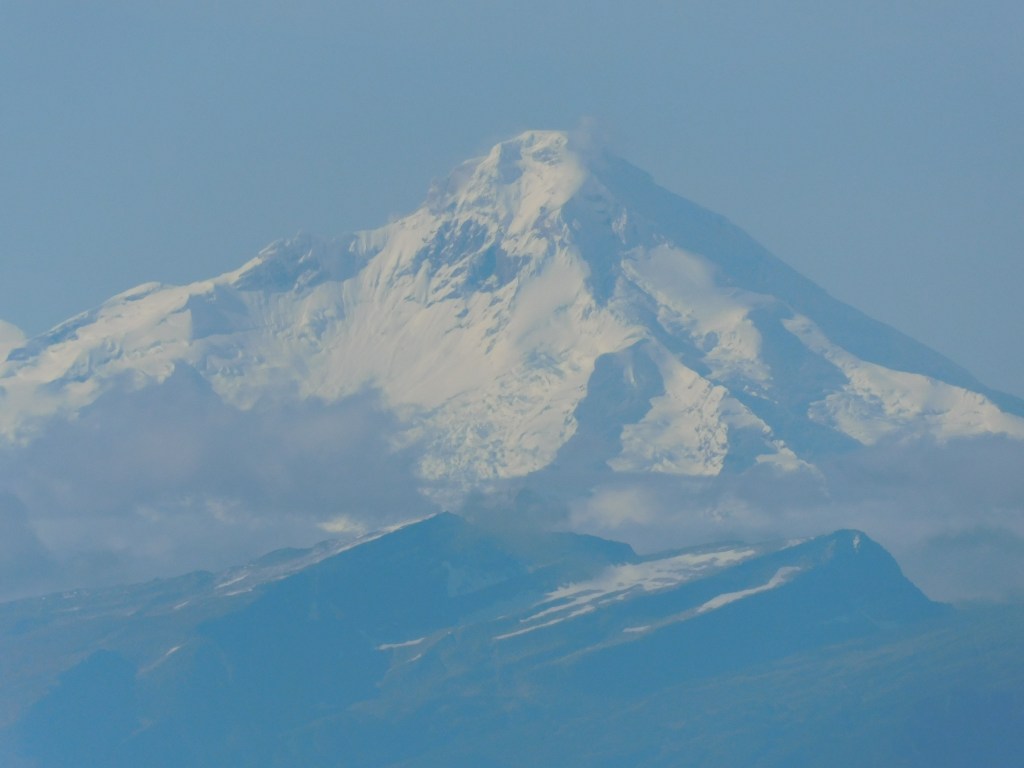
And a closeup of the main peak.
Mount Iliamna is 10,016 feet tall and is much less of a threat for a major eruption.
A third mountain I could see to the northwest may be Mount Spurr. It is located 80 miles due west of Anchorage and I was actually concerned about the possibility of it erupting during my trip.
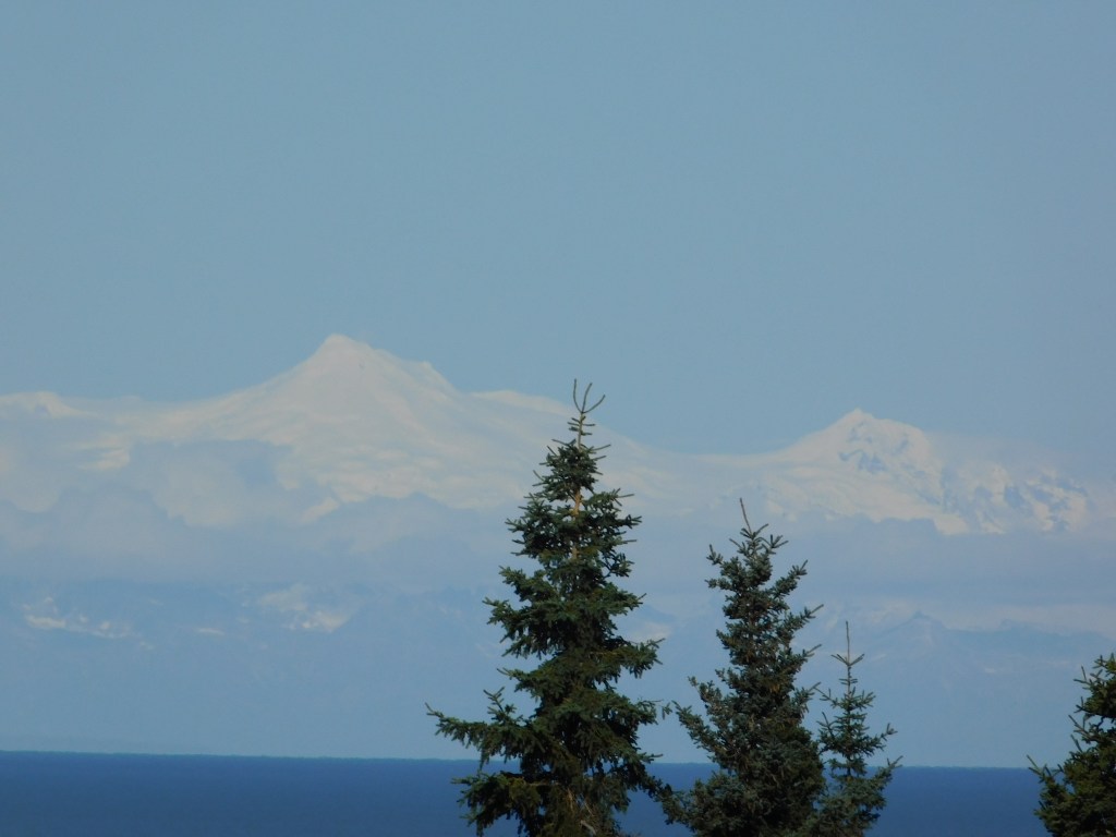
I showed that photo to someone in the Homer Visitor Center and she agreed that it is probably Mount Spurr. When I first arrived in Canada on this trip, and was out on Vancouver Island, there was a tsunami alert issued for coastal British Columbia and the northwest United States after a major earthquake in Russia. I actually altered my plans for the next day on Vancouver Island, though there were no significant waves reported. I did read, however, that Mount Spurr in Alaska showed some signs of life after the earthquake in Russia, although it calmed down a few days later.
Mount Spurr is roughly 80 miles due west of Anchorage. Scientists monitor it very closely as the last time there was even a minor eruption, the volcanic ash caused problems in and around Anchorage.
I will make another post with photos taken after my arrival in Homer.