Tok to Anchorage – Part 1 of 3

September 14, 2025

My first full day in Alaska would involve a 318 mile drive on Alaska State Hwy 1, which Google Maps said would take 5 1/2 hours without stops (although I made many stops to take photos). My route would take me southwest to Glennallen, and then west-southwest to Anchorage.

Before I left town I drove from my Airbnb back to the closest gas station to fill my tank. When I went inside to get a cup of coffee I embarrassed myself by trying to pay with a Canadian 5 dollar bill. The clerk asked “Do you have any American money?” and I sheepishly replied “Oh yeah, I’m back in the Unted States now…”. The young man behind me offered to pay for my coffee and I thanked him profusely. I also thanked him for his service, for when he learned I was from North Carolina he informed me he had done some military training in my home state.

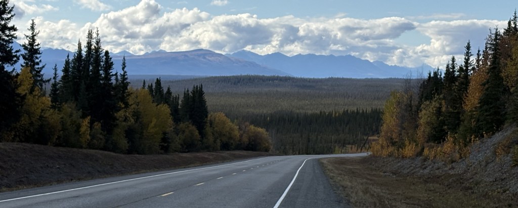
It had rained overnight and there were some low clouds when I started out but they soon lifted and it was a nice day to drive. Traffic was light and this stretch of road was in very good shape.

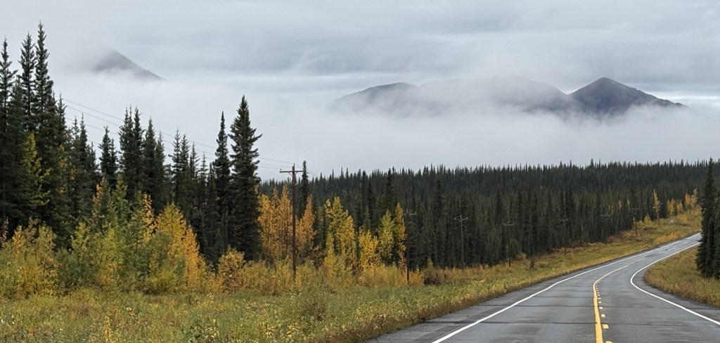
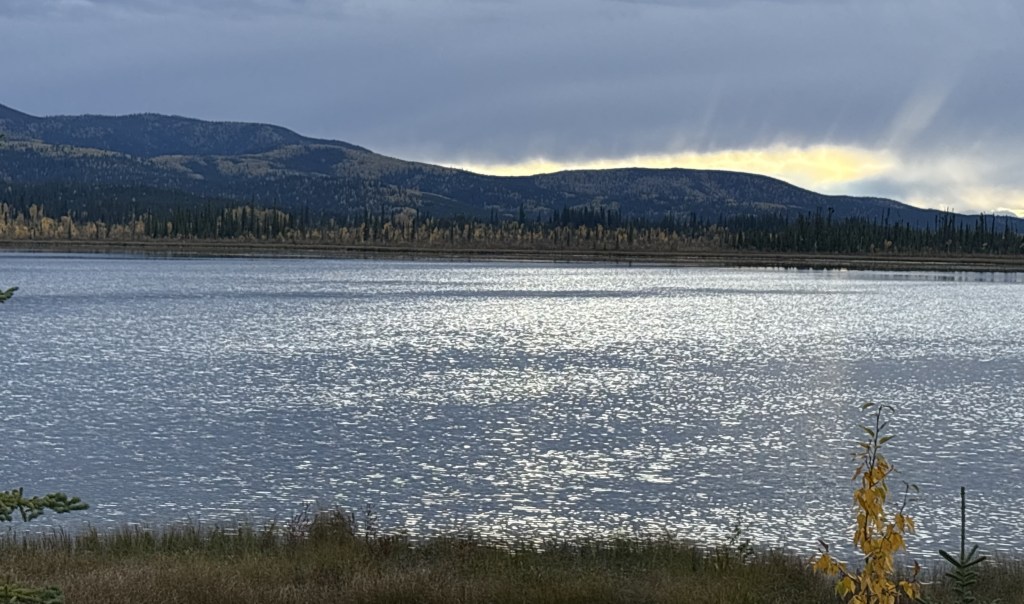
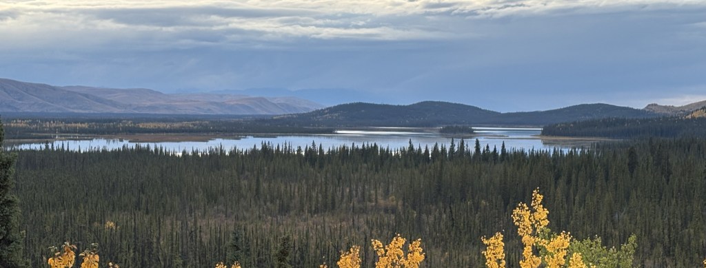
Most of the mountains were on my left, but the photo below was off to the right.

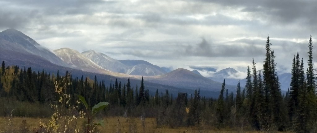
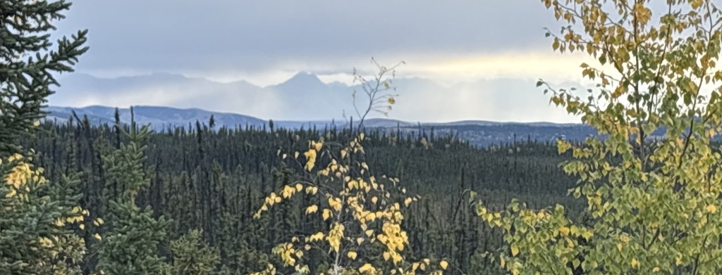
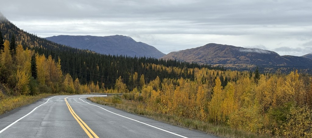
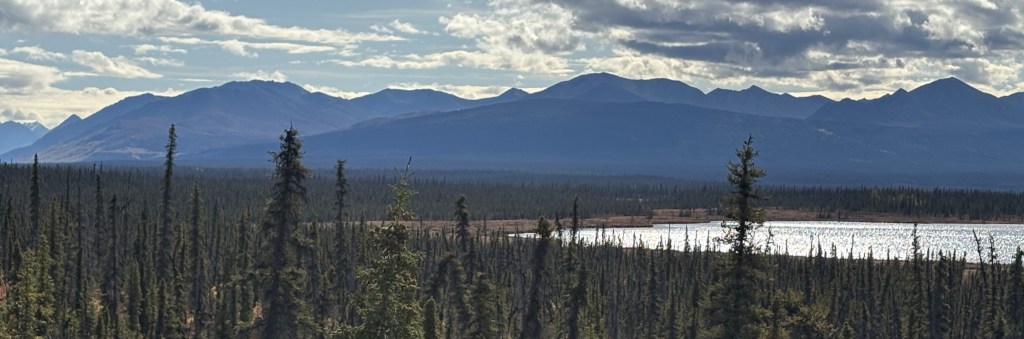
I realize the photo above is quite small but it shows the horizon far to the south to be lined with tall mountains. Wrangell-St. Elias National Park covers a large part of southeast Alaska, and backs up to Kluane National Park across the border in Canada, and between the two of them there are lots and lots of VERY big mountains. I believe the mountains you see above are in Wrangell-St. Elias NP. It is the largest National Park in the United States. Once I reach Glennallen and start driving more to the west towards Anchorage the large mountains you will see are mostly in the Chugach (pronounced CHEW-gatch) Range, which also have some very high peaks.

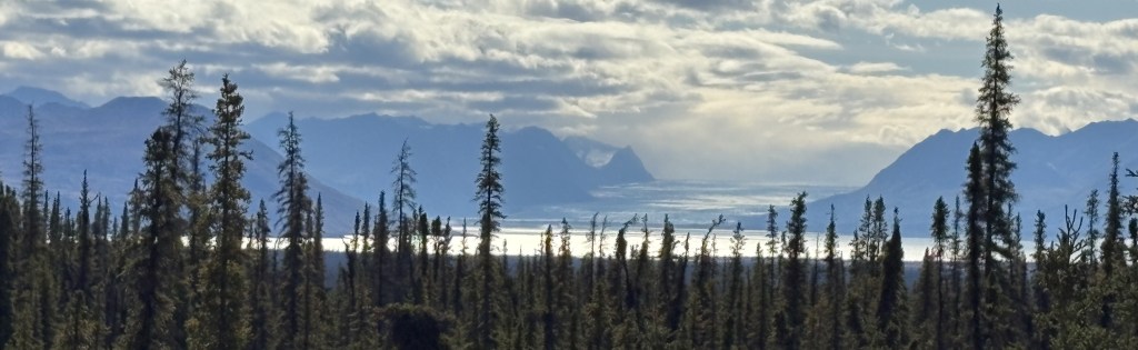
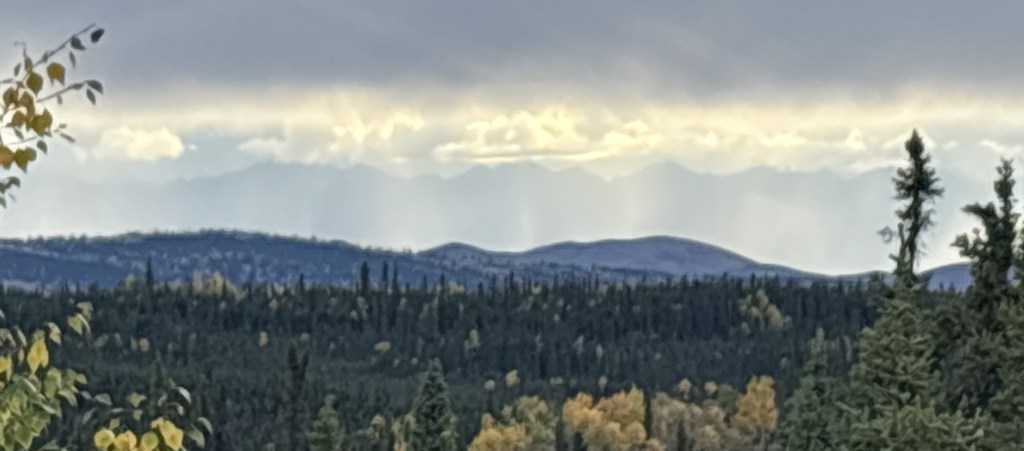
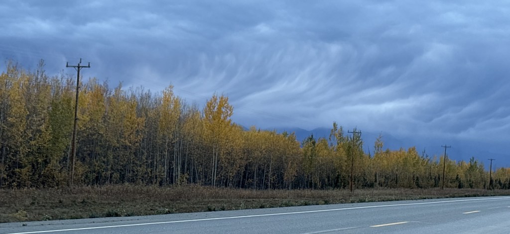
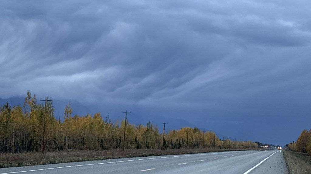
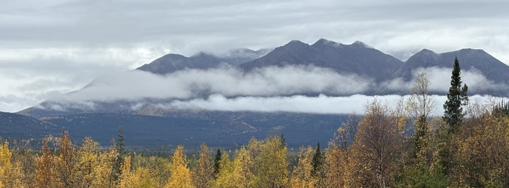
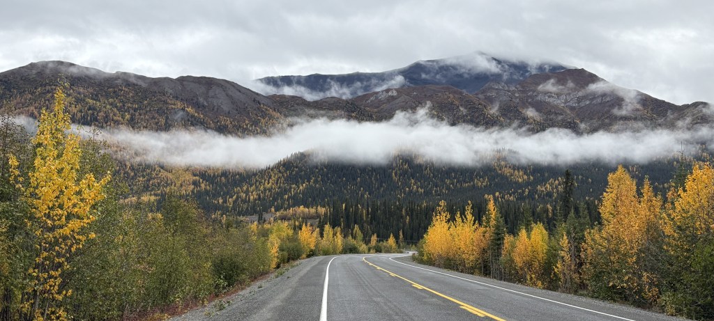
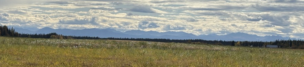
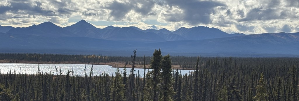
The gap in the mountains in the two photos above really piqued my interest. I think they may be down at the coast where Valdez is located. I will be going to Valdez later in my trip, but that seems to be the only spot on the map that would have a gap like that.

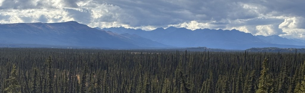
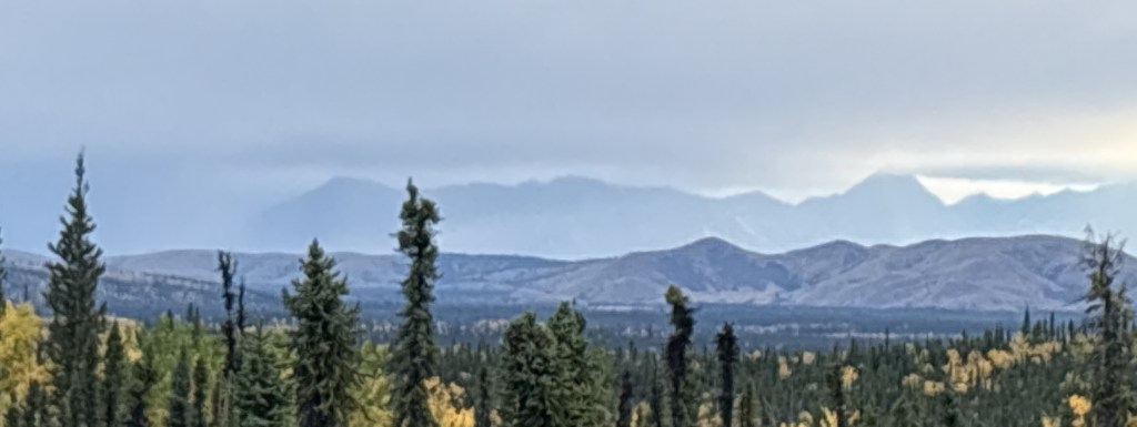
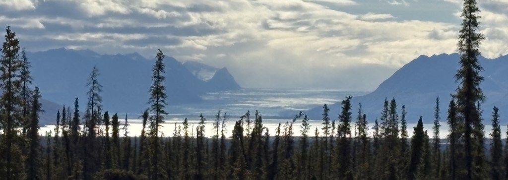
So while I started the day seeing mainly lower, tree covered mountains, the further I drive I will slowly get closer to the coast and have a slightly better view of those larger mountains. The next part of this post will cover the section of road near a place called Eureka Roadhouse and the types of mountains I was seeing would change slightly.

Alaska border crossing to Tok, AK

September 13, 2025

This is the last installment documenting my day-long drive from Whitehorse, YT to Tok.

After driving through the worst part of the Alaska Highway I finally reached the border between Canada and Alaska.

There were only two vehicles in line ahead of me, and it didn’t take long to be on my way. The only thing I had to surrender were my mandarin oranges, though my banana and apples were apparently acceptable. The customs agent confiscated a plant from the car ahead of me.

I commented in an earlier post that the first part of the highway once I got into Alaska was pristine, but it didn’t take long for that to change. Roads this far north are a challenge to maintain. The majority of the roads in Alaska were fine, but it is wise to always be alert for changing road conditions. The US didn’t have little roadside signs warning of bad spots, but there were sometimes permanent signs warning of a “Rough Road” ahead, which generally meant those spots were pretty bad. And potholes were definitely a problem in parts of Alaska.

Here are some of the things I saw as I continued on to Tok.

I was still driving northwest, and the highway had changed numbers from Hwy 1 in Canada to Hwy 2 here in Alaska (though I am still on the “Alaska Highway”). I will talk more about other Alaska highways in my next post.

I had driven past the mountains I had seen earlier in the day and now, when I looked left (south), I could see tall mountains way off in the distance (behind lower hills and mountains in the foreground). I don’t really know for a fact but I believe I was seeing the tall mountains in Wrangell-St. Elias National Park. If that is true then I estimate they are about 180 air miles away.

It had also become overcast. I still had about 2 hours of driving to get to Tok.

It was starting to look more ominous on the horizon ahead of me.

There was one place where I once again had to stop and wait for a Pilot Car. I was bracing myself for a long construction zone (the sign had stated the distance) but fortunately, once we got moving I learned that they had just completed an area of new construction and were just painting lines – so we had to weave back and forth to avoid fresh paint and the machinery being used.

Even though I had gained an hour at the border (Alaska has it’s own time zone, which is one hour ahead of Pacific Time) I was starting to get nervous about making it to Tok before dark. You can see the headlights of approaching vehicles in the second photo below, and it did start raining shortly after I took these photos.

I finally made it! My Airbnb hosts were out of town but had given me instructions for getting to my room which was separate from their living quarters. There isn’t much in Tok but I grabbed something to eat and unpacked my stuff for the night. I will have another long drive (with numerous stops for photos) getting to Anchorage tomorrow.