Sheep Mountain to Alaska border

September 13, 2025

This is part three of my drive from Whitehorse, YT to Tok, AK.

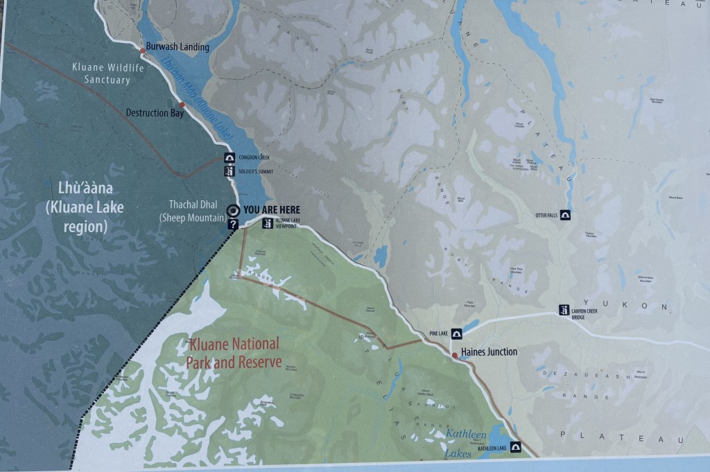
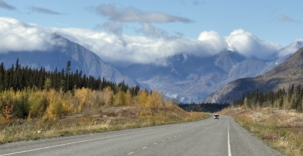
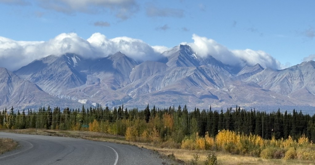
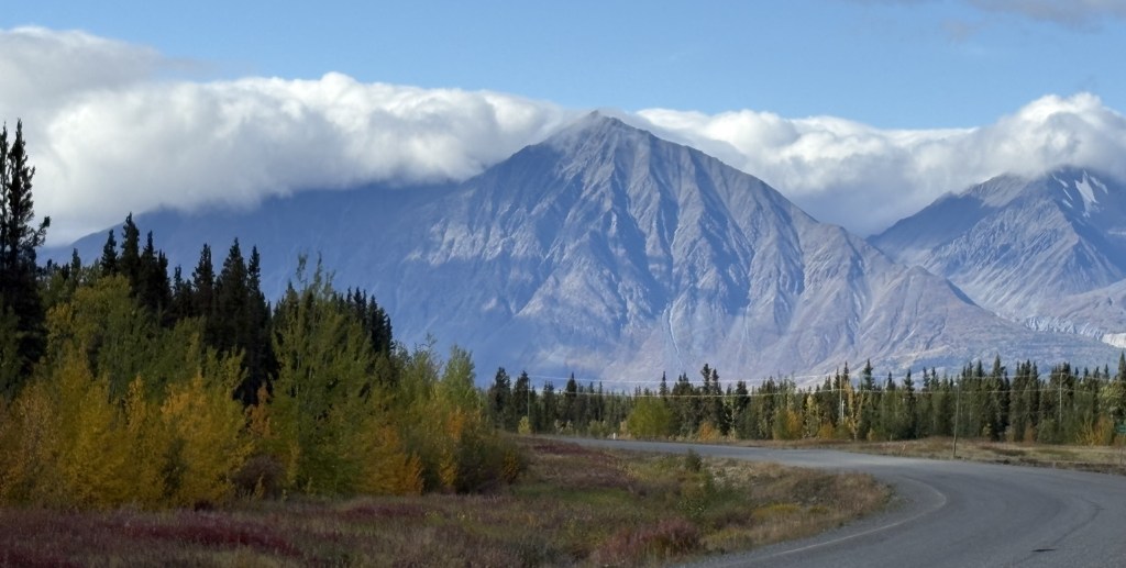
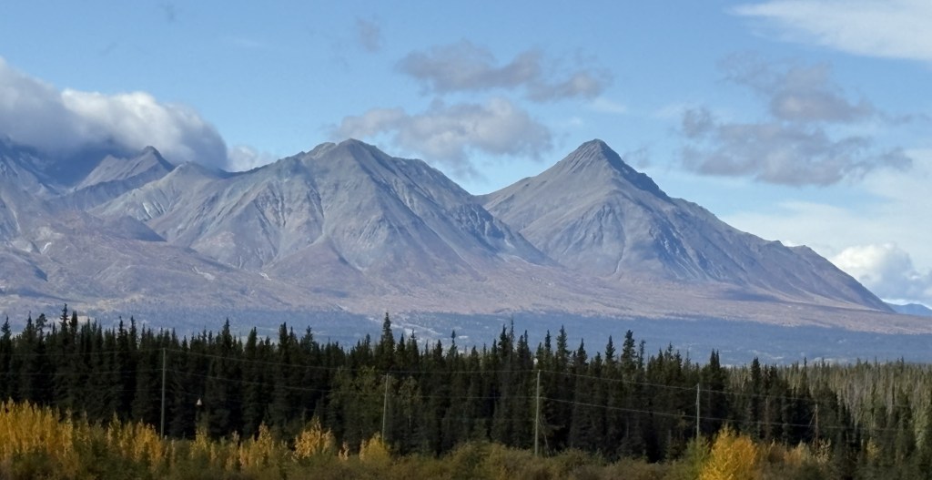
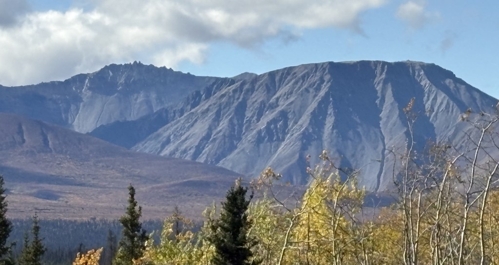
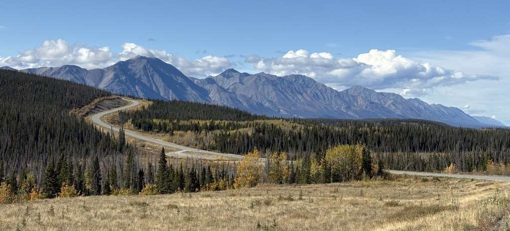
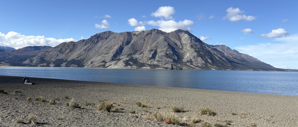
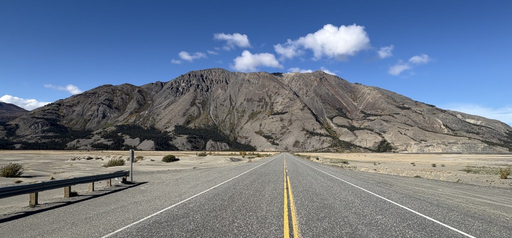
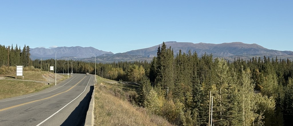
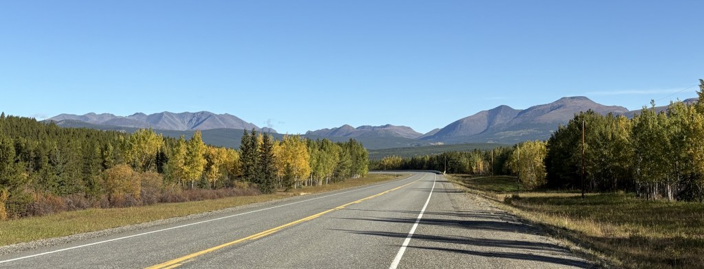
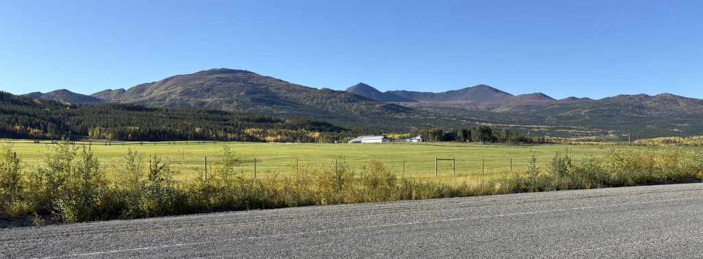
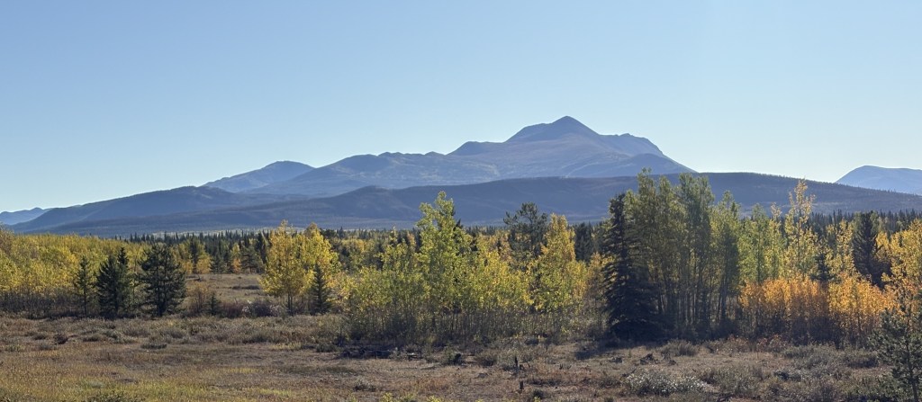
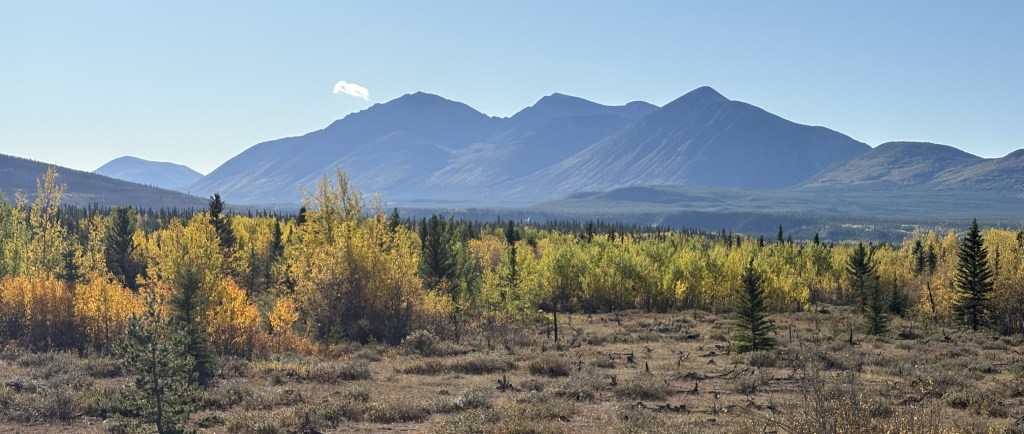
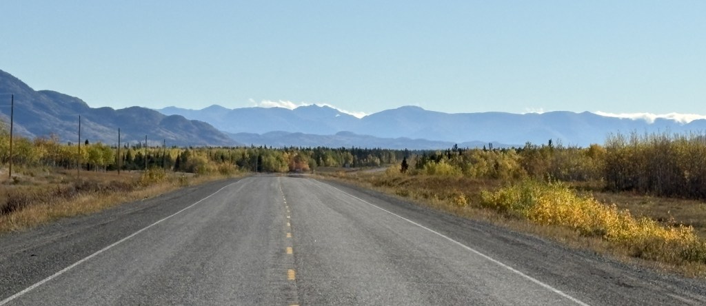
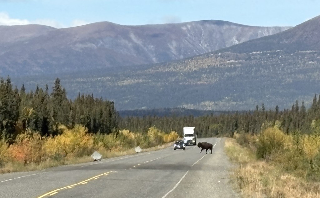
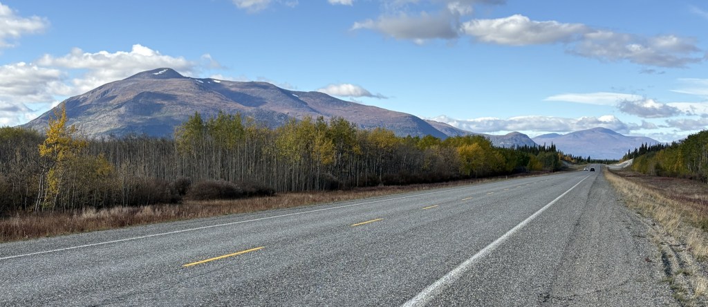
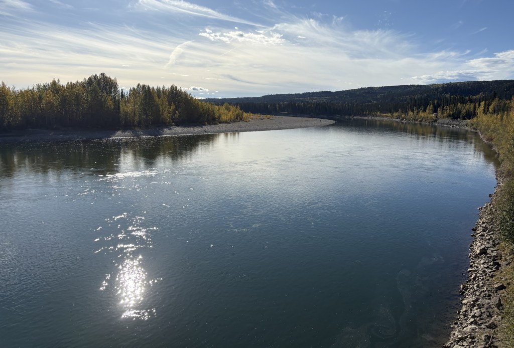
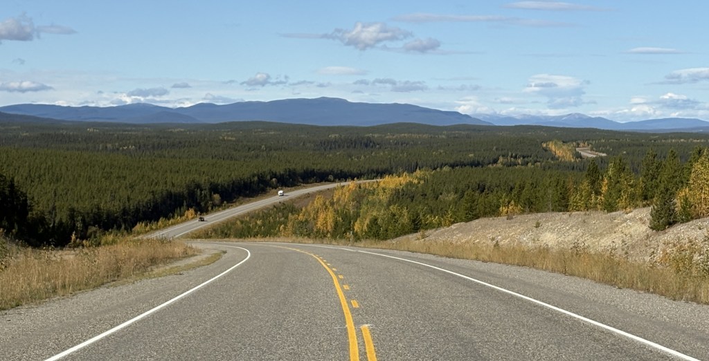
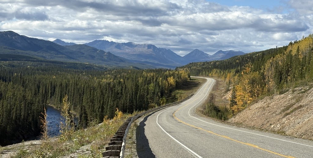
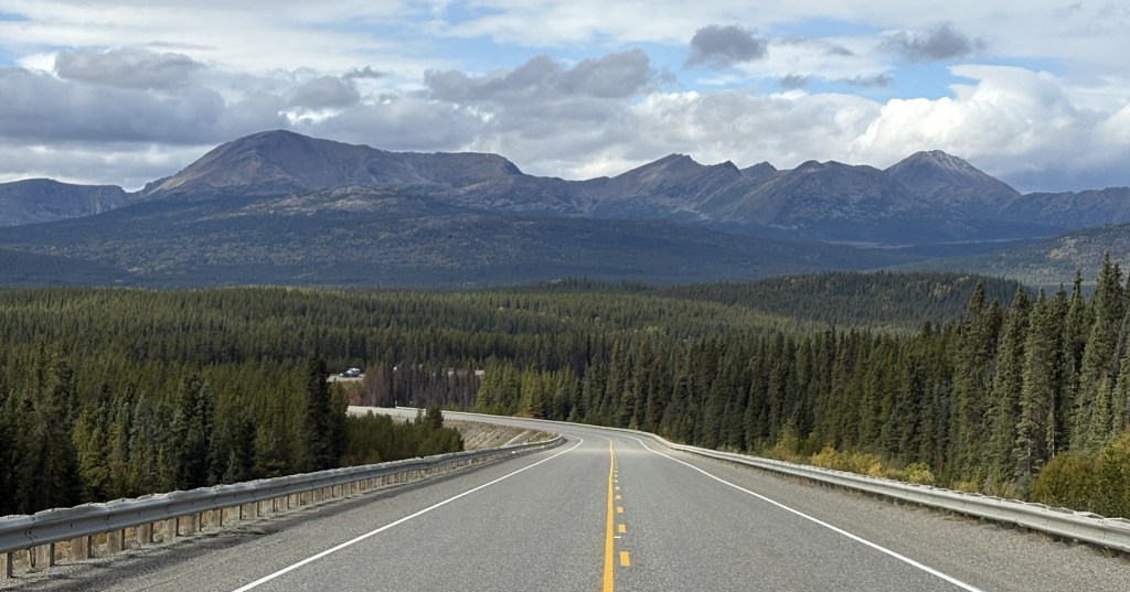
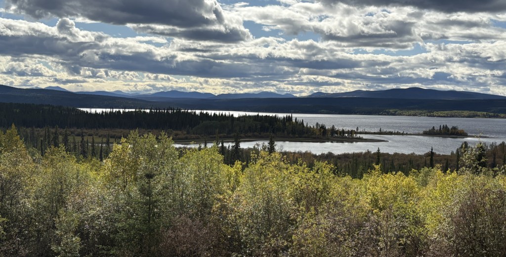
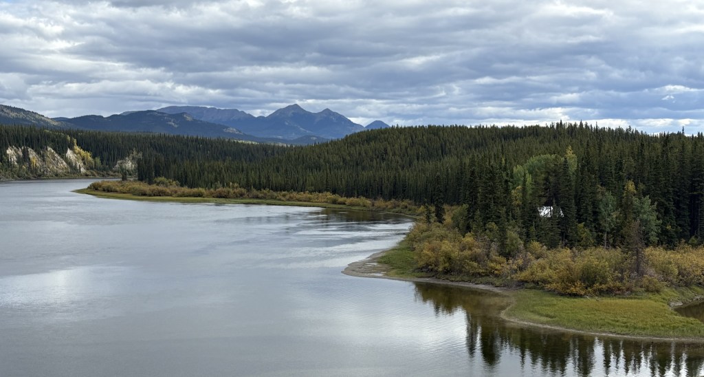
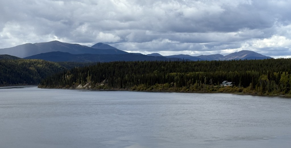
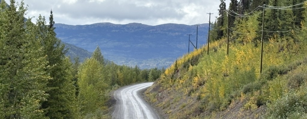
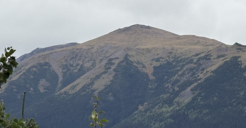
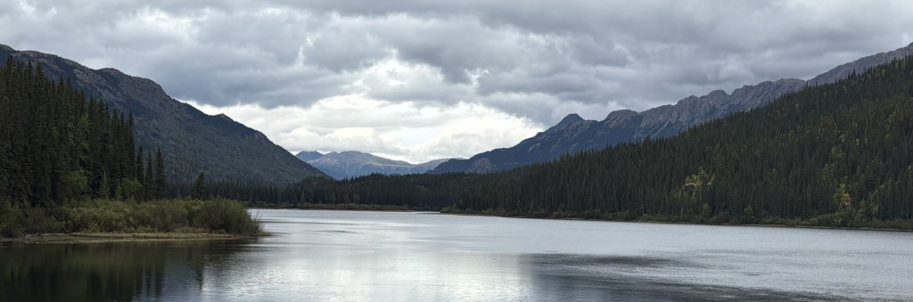
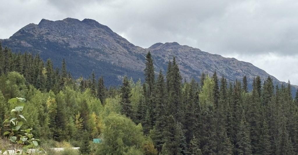
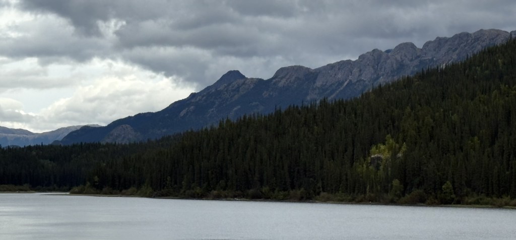
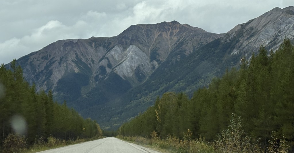
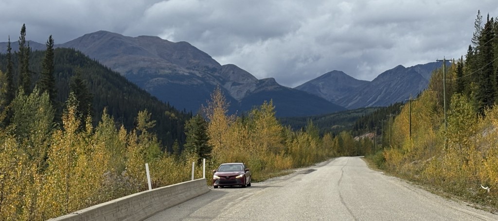
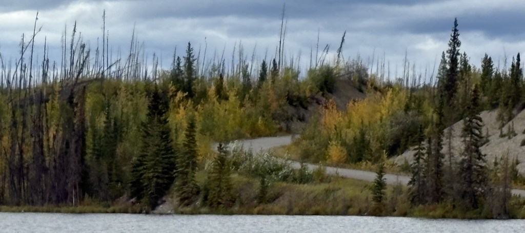
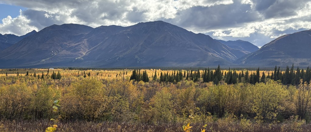
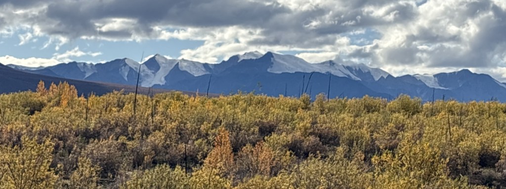
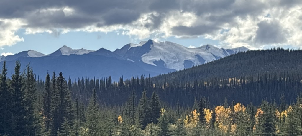
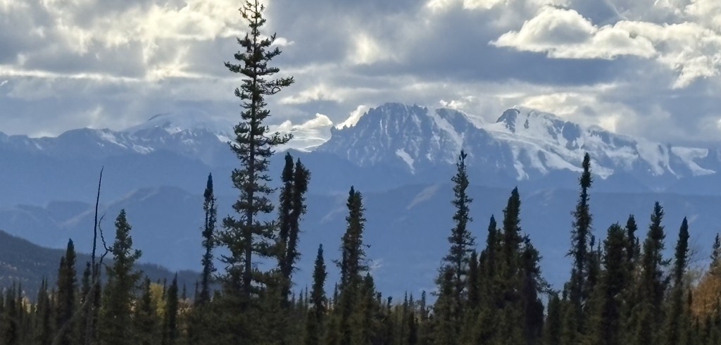
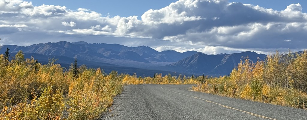
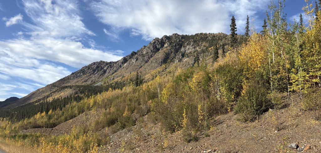
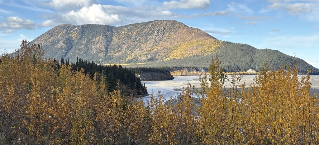
After driving around the base of Sheep Mountain I would continue about 30 miles alongside Kluane Lake. Large mountains would dominate the area left of the roadway, some of which had snow cover and/or glaciers so there were clouds hugging the tops of them. I also suspected there might be more mountains on the other side.

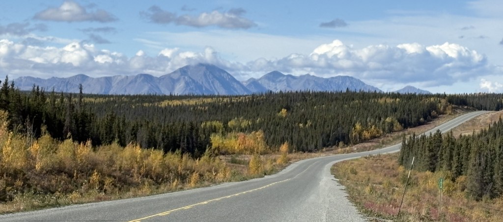
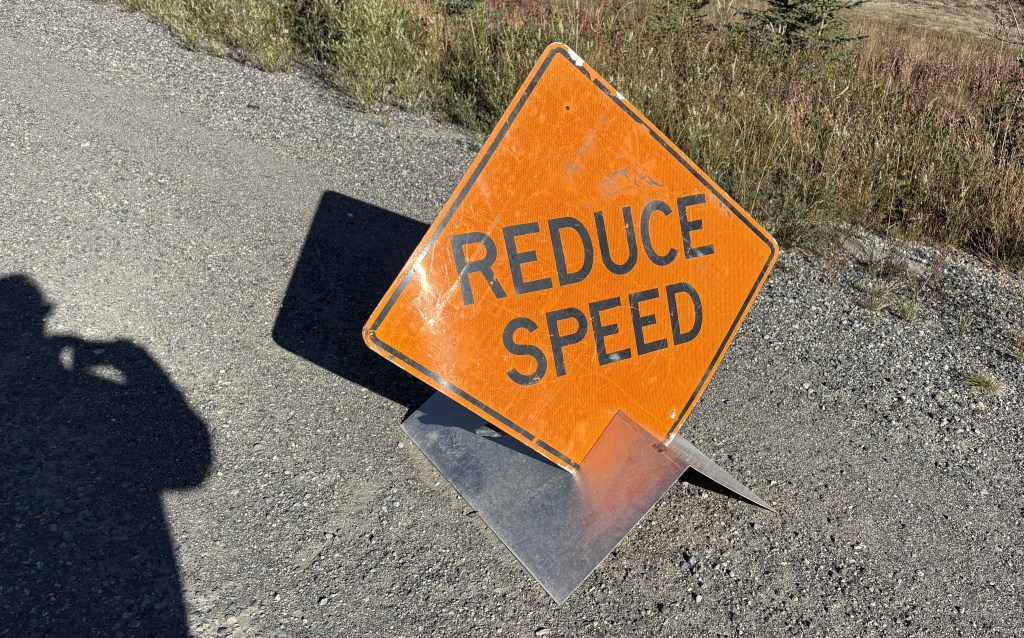
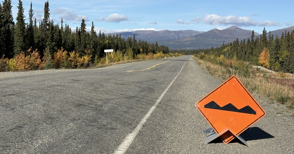
This is also the stretch where the condition of the Alaska Highway would go downhill in places. I had been warned when I was in Watson Lake that this portion of the highway would be slow going. In addition to the aforementioned dips, humps and places where the surface of the road was patched, there would also be stretches which were gravel, in some cases where the highway department had ripped up the pavement completely and was laying down a foundation for new pavement. There were also many spots where the road would alternate between paved and gravel in rapid succession (why I don’t know). For the most part, this stretch of road had little or no warning about bad spots. I had to drive extremely slow in many places, and if a vehicle came up behind me I generally pulled over and let it go on ahead.

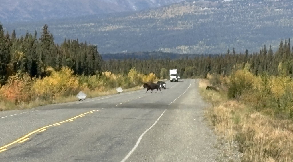
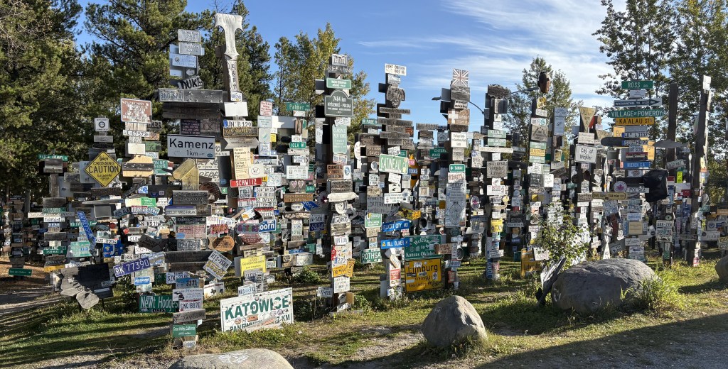
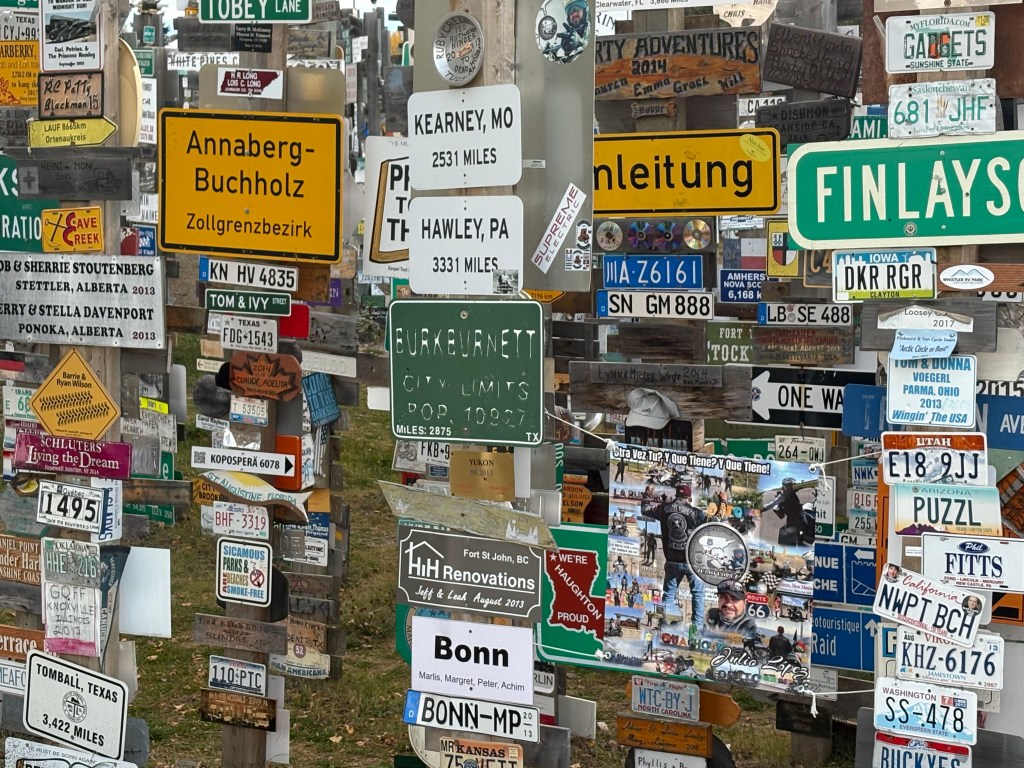
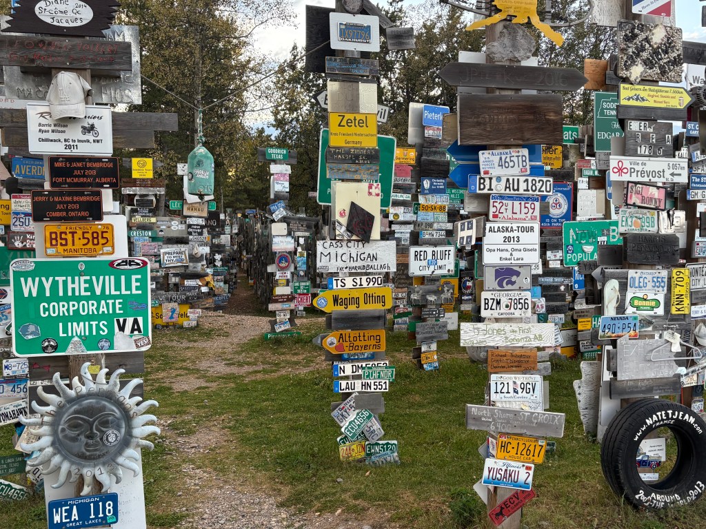
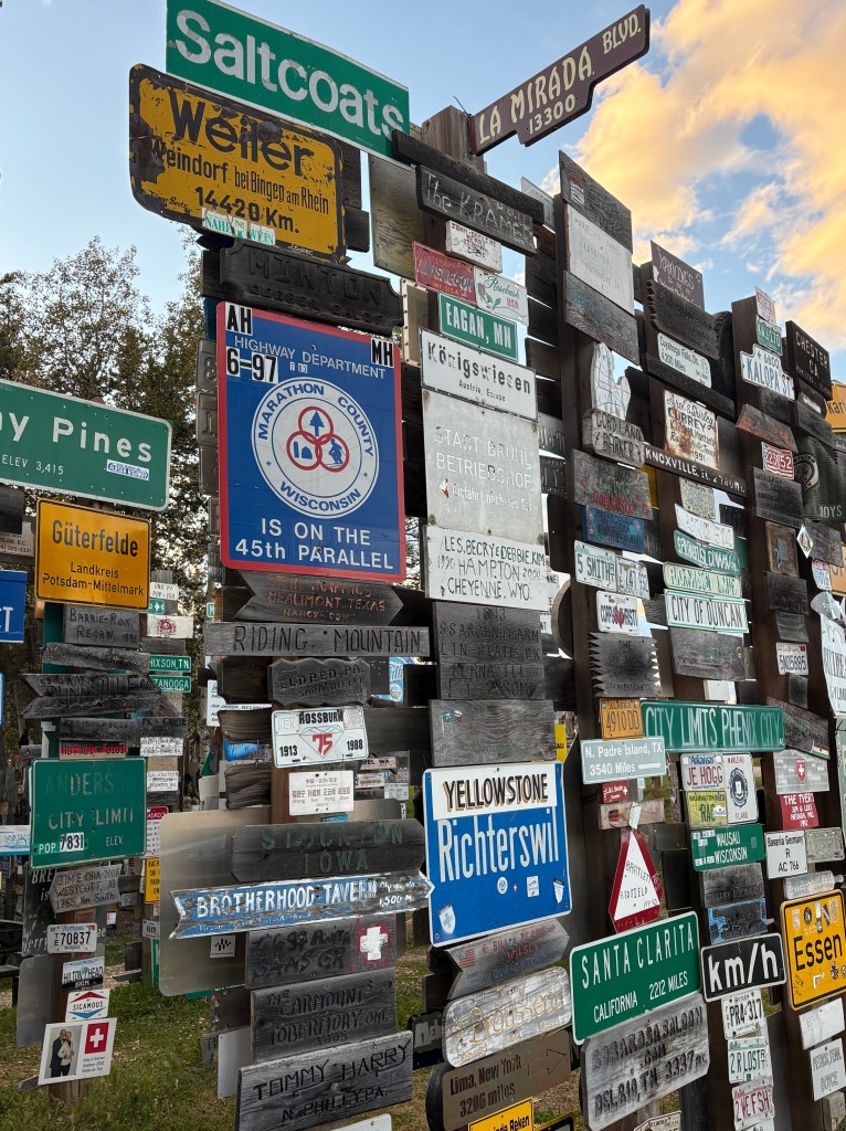
Here are some of the things I saw on this stretch of road:

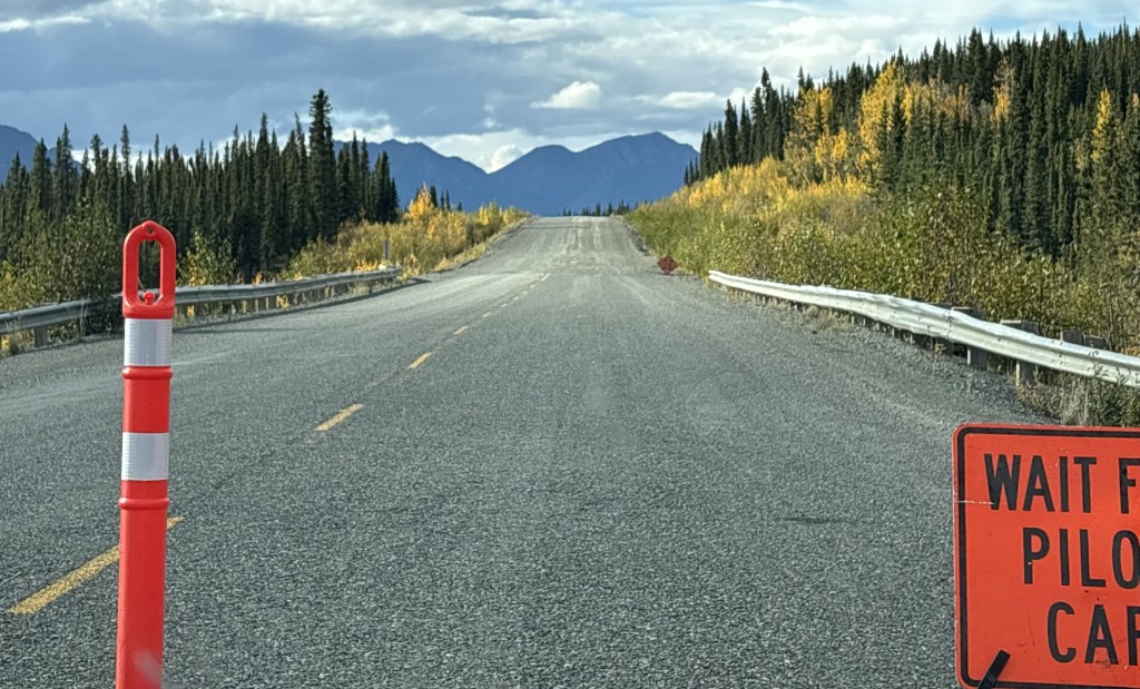
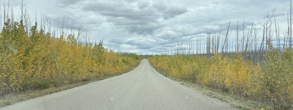
This was one of the places where I had to stop and wait for a “Pilot Car” to follow through a long construction zone. Up ahead you can see that the road changes from paved to gravel, and in some places would be mainly dirt. I had commented earlier in the blog that Canadian roads by and large didn’t have potholes, but after driving this road back east about a month later I take that back. These unpaved stretches did, in fact, have potholes and some places it was very slow going, even without an escort.

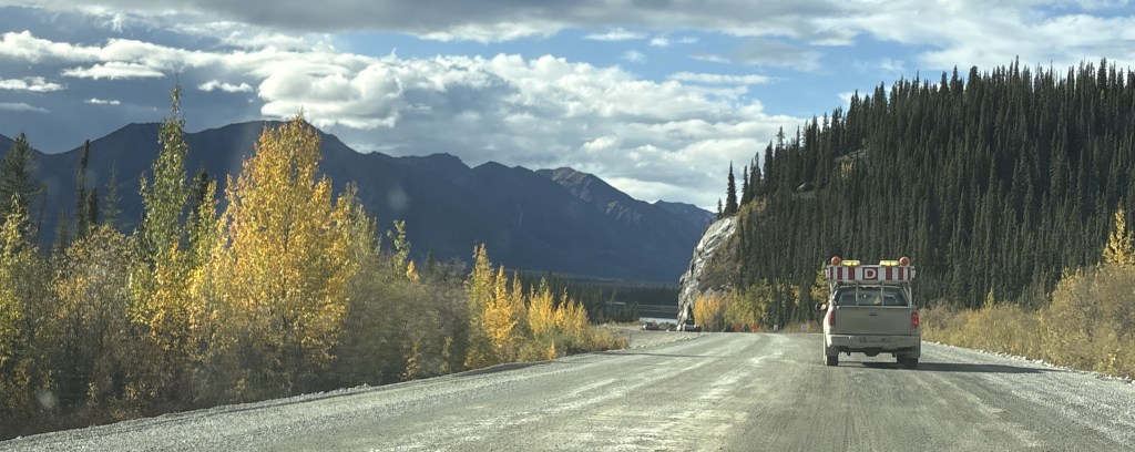
That is me following the Pilot Car (truck). While in these gravel zones large tandem construction trucks would occasionally whiz by at full speed, kicking up rocks. Sometimes they were overtaking us and sometimes they were going in the opposite direction.

I had had been warned not to follow other vehicles too closely but there was nothing I could do about vehicles going the other way other than hope they would slow down. I also tried to pull as far right as I safely could, but if I was stopped waiting for an escort vehicle I was a sitting duck. I did end up getting a crack on my windshield on the way back to Canada.

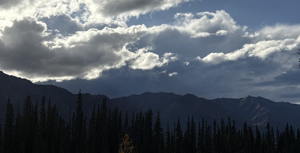
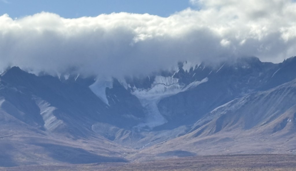
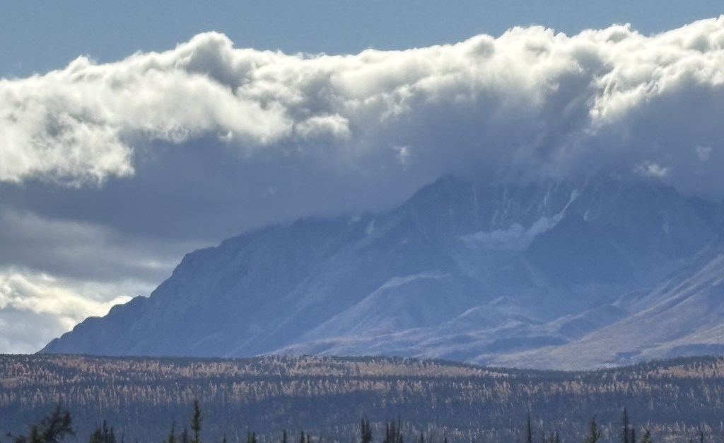
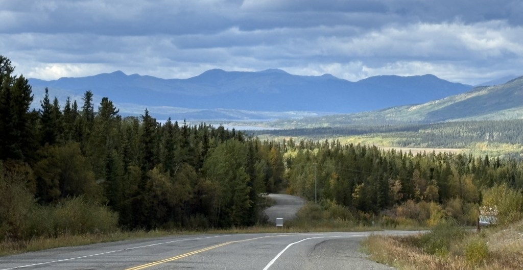
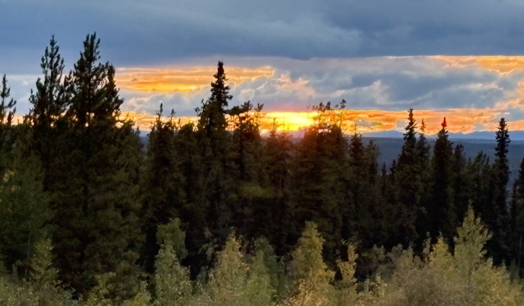
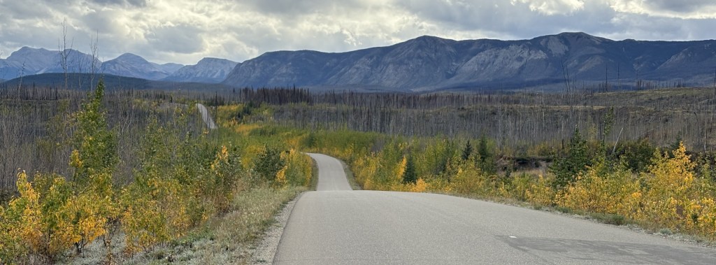
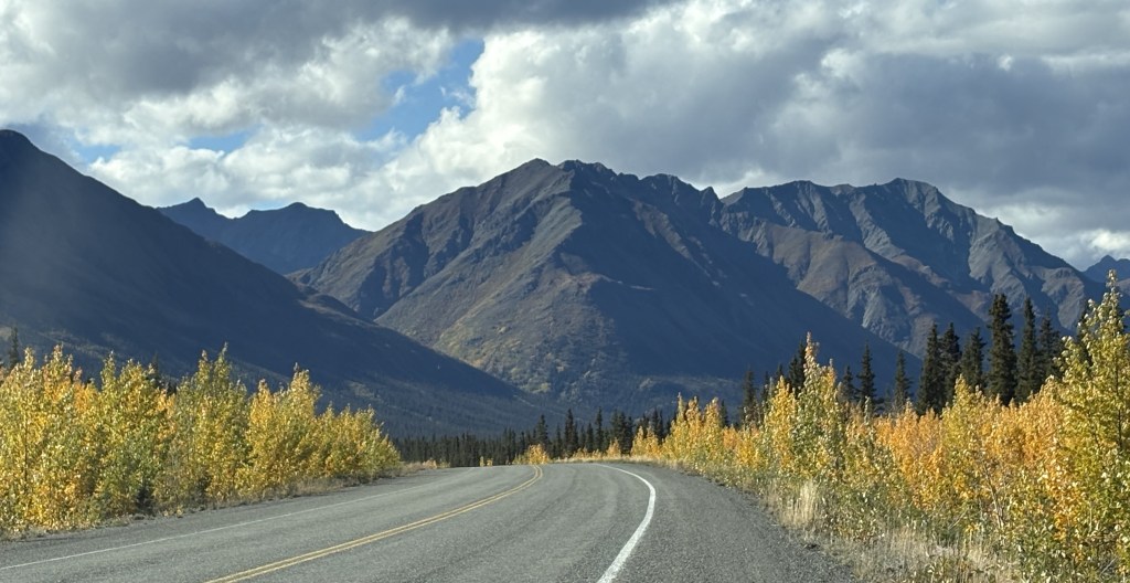
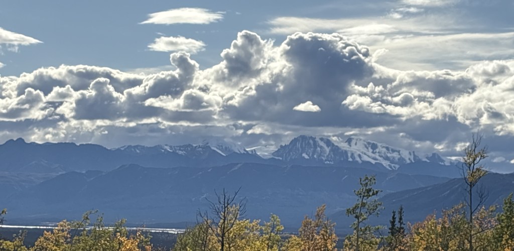
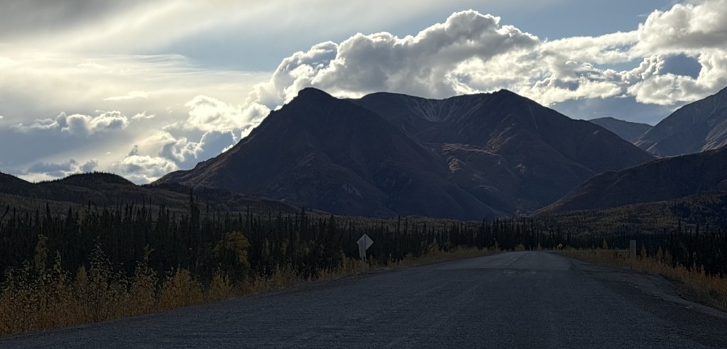
The sky looking west was getting more ominous, and I suspected that there might be bad weather on the other side.

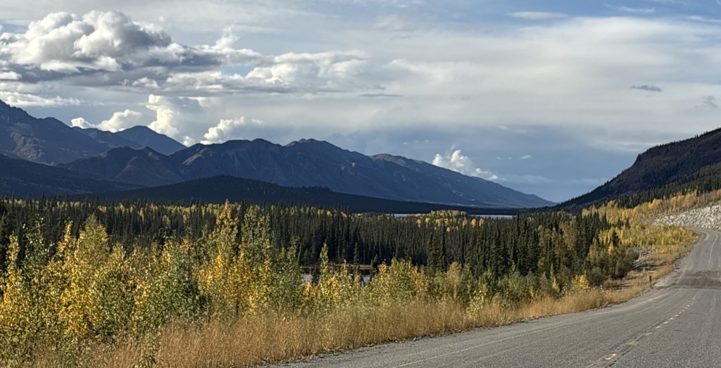
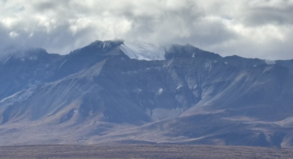
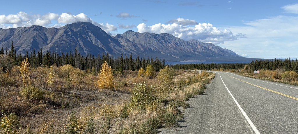
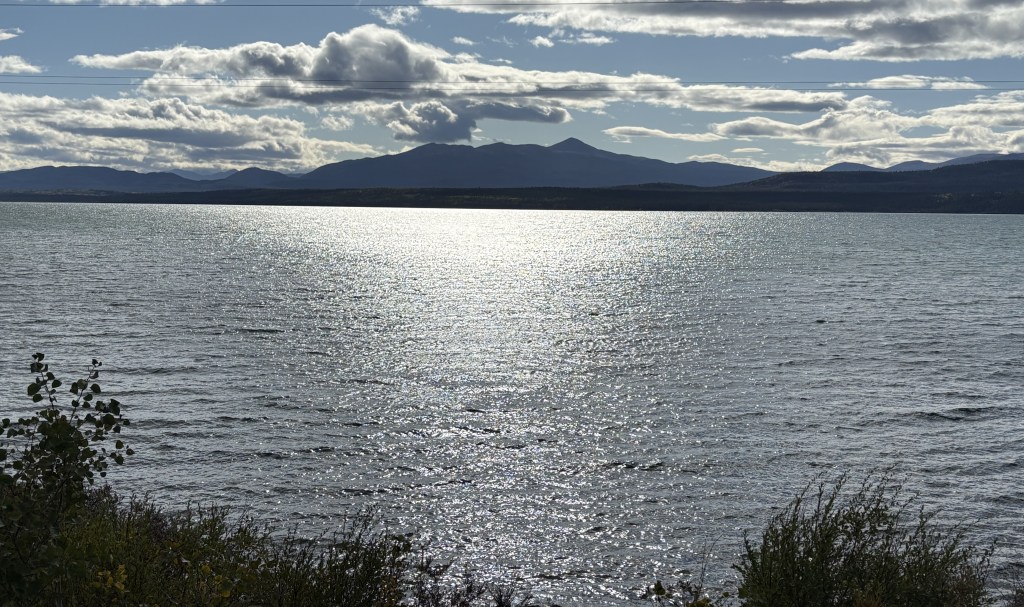
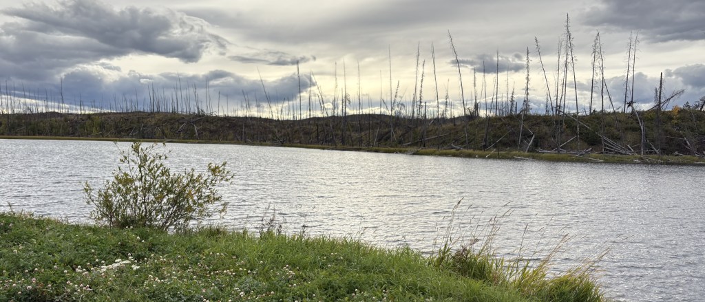
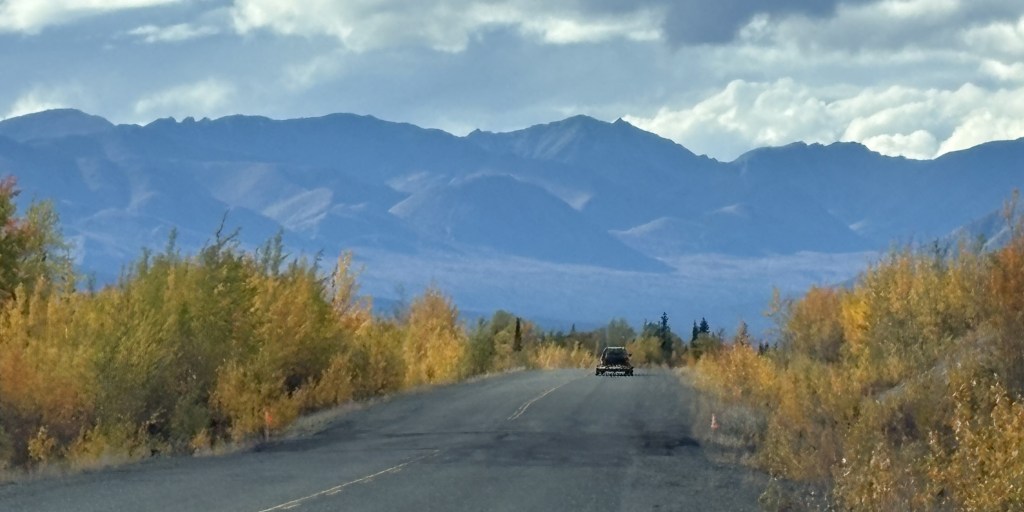
To my right it was still sunny and mostly clear.

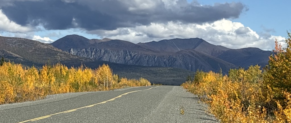
But there were places where I was getting close enough to the mountains on the left to be in the shadow of the clouds.

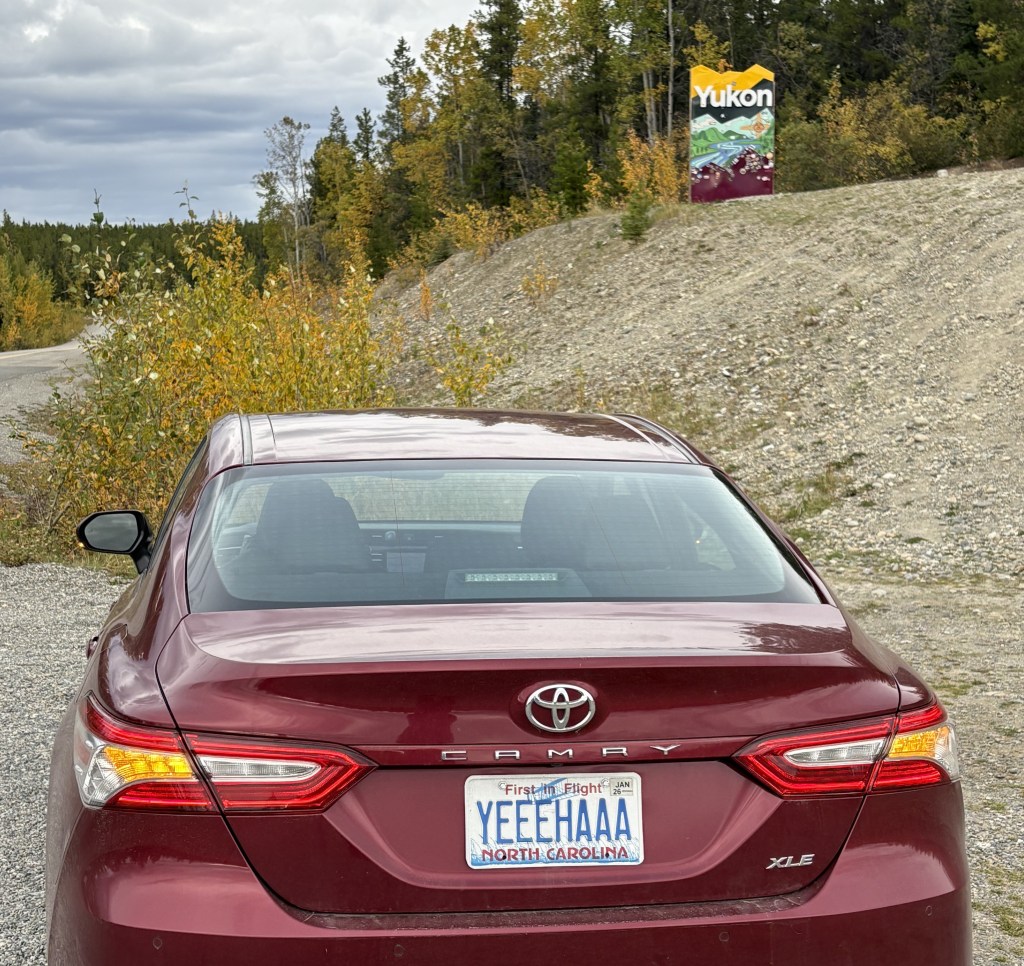
I would soon reach the border and will finish my report on the trek to Tok, AK in my next post.

Haines Junction to Sheep Mountain, YT

September 13, 2025

This post documents the second segment of today’s drive.

My destination for this segment is the “You Are Here” spot on the left side of the map.

I was seeing lots of BIG mountains ahead of me (in Kluane National Park and Reserve) but after Haines Junction the road turns towards the northwest so I would drive along side, or around, the mountains rather than over them. You can’t always tell from a map, but I have learned that as I approach a sizeable mountain which I will go over (often through a named “pass”) there will be signs for a “Chain Up” area just off the road where vehicles may stop to put chains on their tires. Modern chains may not be chains at all, but other grip- providing equipment which wraps around your tires. When you reach the top of the “pass” there is a “Brake Check” area where big trucks are required to stop to check the condition of their brakes before driving downhill. The required chains may also be removed there, or at the bottom of the hill (I would personally prefer the latter of those two choices).

Now, here are the mountains I saw as I drove this section of the Alaska Highway. Once again in this segment of my drive, the road was basically fine, with only a few isolated bad spots.

Most of the clouds in the photos above were directly above the mountains to my left. Directly above me, and to my right, it was sunny and clear, and there were breaks in clouds over the mountains in some spots.

The lake shown above is the southernmost tip of Kluane Lake. The mountain on the other side is Sheep Mountain (where I would encounter warning signs for bighorn sheep, of which I saw none). The road I was on would continue to the left from this spot but then make a turn right to head straight towards the mountain.

And this was the view from a bridge I drove over where the lake drains into a small river (or vice versa).

I will make the next two posts in this 4-post sequence tomorrow, which will take me to Tok, Alaska.

Whitehorse to Haines Junction, YT

September 13, 2025

This is the first of four posts documenting my entry into Alaska! From Whitehorse it will be a 386 mile, 7 1/4 hour drive (without stops!) west across the southern part of the Yukon, eventually turning northwest before reaching the border with Alaska, and ultimately the town of Tok (pronounced toke). There are lots of photos and my goal is to show what it is like to drive this part of the Alaska Highway. The four posts will be:

1 – Whitehorse to Haines Junction, 2 – Haines Junction to Sheep Mountain

3 – Sheep Mountain to the Canada/Alaska border, 4 – The border to Tok, Alaska

Here we go!

It was a nice, clear morning when I left Whitehorse. It is the capital of the Yukon Territory province and has a population of about 35,000 people. According to Wikipedia it is the largest city in northern Canada, which covers quite a bit of land. I would guess what they mean is north of the northern borders of the provinces which border the northern US states in the lower 48.

That is looking towards Whitehorse from a pullout area along the Yukon River.

The ship shown above is the SS Klondike. It is now a Canadian National Historic Site and is undergoing a multi-million dollar renovation (hence the fences and shipping containers). It is drydocked here along the river. It was on the right side of the first photograph in this post.

That is part of the downtown area. The town is rather spread out so it is hard to get it in one photo. Suffice it to say that it is a nice, modern town. I will be coming back here on the return trip in a few weeks and plan to spend more time here.

The rest of the photos in this post are from the drive west to Haines Junction.

I have posted the next four photos previously but am repeating them here in the proper sequence in my trip.

As I explained in the real-time post back in September, these were small signs set up temporarily along “bad” sections of the Alaska Highway. A “bad” section is generally an undulation (bump or dip in the road caused by the temperatures this far north), or potholes or parts of the road which have a rough surface as opposed to the normal pavement. Most of the road is fine, but these signs warn drivers to be especially alert to the condition of the road, especially if there is snow present.

During the day these areas are generally visible to the naked eye, but at night or on a snowy road, these signs should not be ignored.

This second sign indicates that there is a fluctuation in the road surface (up or down) which is what warrants caution. You can see the dip in the road just past these signs. Not too bad at this particular spot but sometimes they are doozies!

While I was stopped here taking these photos, two bison meandered across the highway further up the road.

You can see the second one climbing the bank on the right.

You can also see the two signs warning drivers coming the other way for a repaved (dark) area on the other side of the dip in the road. These were the only bison I saw during my entire trip, and I would have already been past this spot if I hadn’t stopped to take photos of the two small signs.

There were LOTS of these signs between here and the border and as the road deteriorated the further west I drove, they evidently ran out of signs warning of the bad spots and drivers just needed to be prepared at all times. In addition to the two signs there was sometimes an orange flag attached to the Reduce Speed sign, which meant they were really serious about it. Later in my drive there may only be a flag warning of a bad spot.

As I stated back in my real-time post, I would not want to drive this road at night, not only because of the increased animal-in-the-road risk, but also because I couldn’t see the bad spots before driving over them. I kind of got used to the rhythm needed to pass these areas. If the hazard was on my side and there was no one coming the other way I would sometimes move over to the other lane.

What I have shown in this post is getting as far west as Haines Junction.

The road on this stretch was pretty good in almost all places, as it will be in the next segment of today’s drive. Thus far it was a nice, clear day and it was a very pleasant drive.

I stopped in Haines Junction at the Kluane National Park and Reserve Visitor Centre, which also housed a Cultural Centre for the Da Ku indigenous First Nations tribes (Champagne and Aishihik ), whose territory I have been driving through. They had lots of displays, and I spent a good bit of time there.

The Kluane National Park and Reserve was dead ahead of where I was driving as I approached Haines Junction. I could see more and more big mountains ahead of me, many with low clouds at the top which I have learned often signifies snow and/or glaciers at their peaks. You will see lots of them in the next two posts. One of the mountains due west of Haines Junction is Mount Logan which, at 19,551 feet, is the highest mountain in Canada (and second tallest in North America, after Denali). It is about 100 air miles away and I could not see it because of other tall mountains blocking the view.

My next post covers Haines Junction to Sheep Mountain, at the southern tip of Kluane Lake on the map shown above (where there is a blue question mark).

Nugget City to Whitehorse, YT

September 12, 2025

Today I will drive part way to Alaska along the Alaska Highway. Years ago it was called the Alcan Highway but these days most people, including mapmakers, appear to just call it the Alaska Highway. The road starts in Dawson Creek, British Columbia and ends in Delta Junction, Alaska, a total distance of 1,422 miles when it was originally built. I drove through Dawson Creek on my way to Grande Prairie just a few days ago but didn’t know at that time that it was where the Alaska Highway starts. I will be driving through Delta Junction during my stay in Alaska.

Before I got started, I drove back in to Watson Lake (about 20 miles east of my Airbnb) to top off my gas tank. I saw something there when I drove in for dinner last night that I think you’ll agree is blogworthy. Sign Post Forest.

This attraction was started in 1942 by a person in the US military who was convalescing in Watson Lake. He was from Danville, Illinois and erected a wooden stake with a sign from his hometown. It has been added to over the years and according to a sign in the Visitor Centre here there were over 120,000 signs here in September 2024!

I’m sure that number has increased since then (I don’t know how they can keep track), and I’ve also learned that a sister site has been started in Danville, IL.

Also in the Visitor Centre was the original Danville, IL sign which had been erected in 1942.

If you look closely at the photo above you will see two license plates from the Northwest Territories province. Rather than being rectangular they are shaped like a polar bear! I have only seen one on a vehicle in person and wasn’t prepared to take a photo of it. I was hoping to see another but never did. I didn’t realize there were some in the photo until I just now posted it, or I would have taken a closer photo of them.

The Northern Lights Centre is also here in Watson Lake, and inside is where I found the local Visitor Centre. The people there were very helpful in giving me more maps and information about my drive across the province.

I had remarked to some friends after I had driven into town for dinner last night that if all of the Alaska Highway was like this 20-mile portion, then I had nothing to worry about. Well, I will say that the majority of what I would end up driving on today was actually in very good shape. With all the cold weather this far north, there were places where the highway department had to fill potholes or patch places where the road had heaved due to frost, but it wouldn’t start going downhill in quality until after I got past Whitehorse.

Here are some of the things I saw as I drove the 258 miles to Whitehorse, the capital of the Yukon Territory province. Google maps indicated it should take about 4 1/2 hours.

As you might expect – highway, mountains and bodies of water. Not too many towns along the way, but it was wide open road and didn’t feel quite as isolated as Highway 37 was driving north through British Columbia. I didn’t see a single animal in or near the road.

And I meant to include this photo as the final item in my previous post about yesterday’s drive. I had started the day seeing the sun rise in the morning and as I drove back to my Airbnb from dinner I also saw the sun set.

I will only be spending one night in Whitehorse tonight but will stop there again for two nights on by way back to British Columbia. I still have two more weeks to spend in Canada before returning to the lower 48 but I interrupted my original plan to head to Alaska because people kept telling me I’d better get up there so I could get out before the snow started in earnest.

It was a good idea.

Getting to the Alaska Highway – Part 2 of 2

September 11, 2025

Here are more of the things I saw as I drove through northern British Columbia on my way to the Alaska Highway.

I had seen two handmade signs warning of caribou earlier in my trip, but this was an official one.

It finally occurred to me that one of the reasons I hadn’t seen any animals on this highway was that in most places the edges of the highway are not trimmed back like on most roads, and animals have plenty of places to remain hidden. I did have to remain vigilant, though, as if any did dart out I wouldn’t have had much time to react.

The photo above was the view I had in my direction of travel. I had turned around to come back and take a photo, as I often do.

Once I got away from the mountains I had open road as I approached the Yukon Territory. When I got close to the border I drove through a large area which had burned in a wildfire in 2023. The only new or unaffected growth was right along the highway.

I finally reached the Yukon. Fortunately the wildfire had not made it this far north.

It was only a little further to get to the Alaska Highway, and my Airbnb was less than two miles to the left once I got there.

I was in a new cabin in a complex called Nugget City. It had (expensive) gas, a large (expensive) restaurant, and a campground for people with RV’s. The Airbnb rate was pretty steep, too, but that is what happens when you get to a spot where there aren’t many choices. I had seen a few “cheap” Airbnb’s listed along Highway 37, but I backed away when I learned they didn’t have indoor plumbing but only outhouses! I didn’t want my last act to be taken by a bear on my way to or from an outhouse in the middle of the night…

After I unpacked my stuff for the night (clothes, computer and CPAP machine) and rested a bit I drove in to Watson Lake and found a nice little Chinese restaurant which was much more affordable. I will make a post about something I saw there when I start my journey west tomorrow.

And as you can see, I had stopped for gas along Hwy 37 so I had plenty when I arrived in Nugget City. I will be retracing my route south when I leave Alaska in a few weeks. Unfortunately the complex here in Nugget City will be closed for the season and I will have to book a place in Watson Lake for the return trip.

It was a long, but uneventful drive getting here. It was well paved in most spots, with only a few short dirt or gravel patches. The map I showed earlier appeared to show lots of towns along the way, but that wasn’t the case at all. It is quite a desolate road, and those “towns” were usually just a crossroads with only a few buildings and occasionally a gas station. I didn’t see any animals. Not one. But that’s ok, because once I learned that the there wasn’t much of a barrier on either side of the road I was happy the animals and I can continue to peacefully coexist.