Hatcher Pass – Part 4 of 4

September 25, 2025

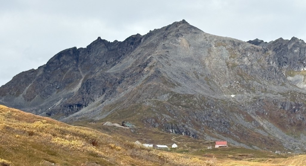
Here are some of the things I saw as I completed my exit from Hatcher Pass.

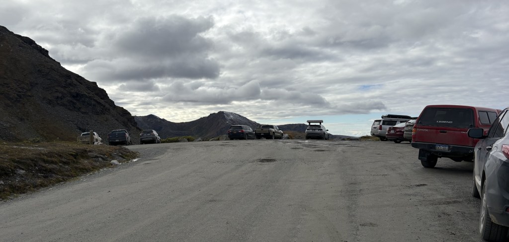
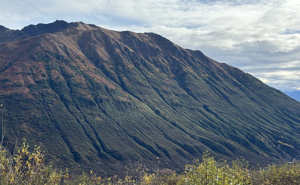
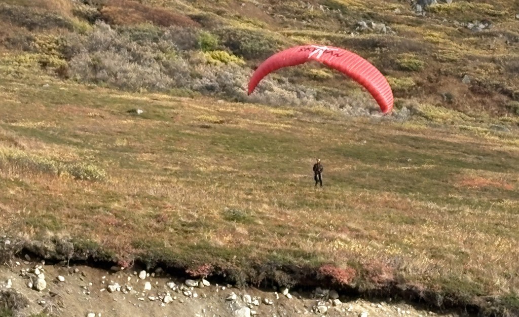
This post is kind of short, as I decided not to include some of the photos I had prepared because they were too repetitive.

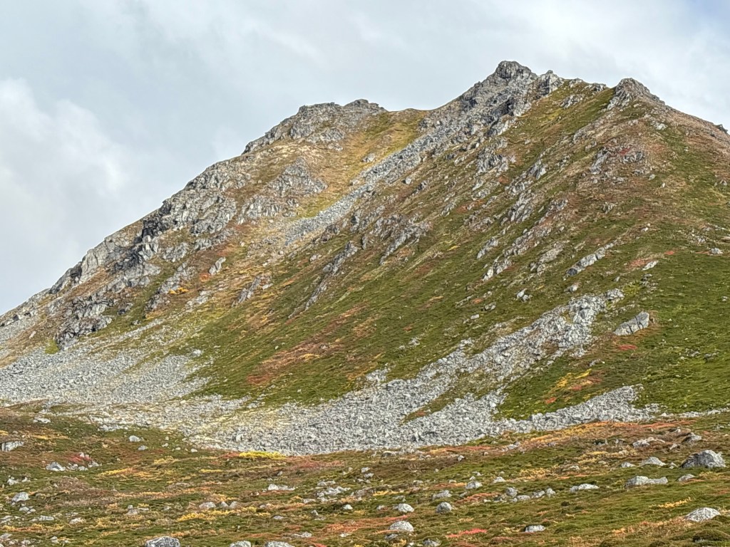
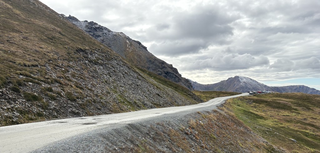
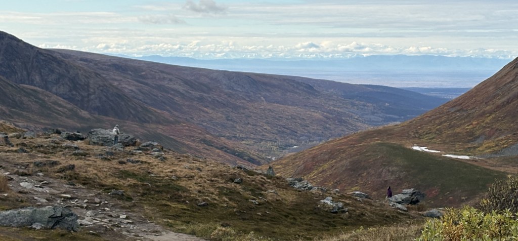
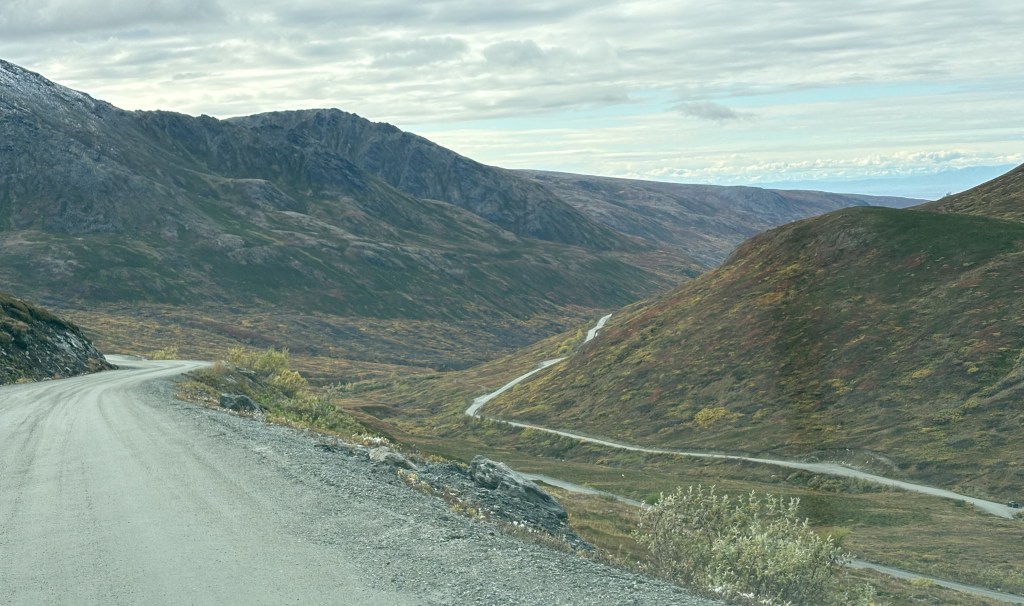
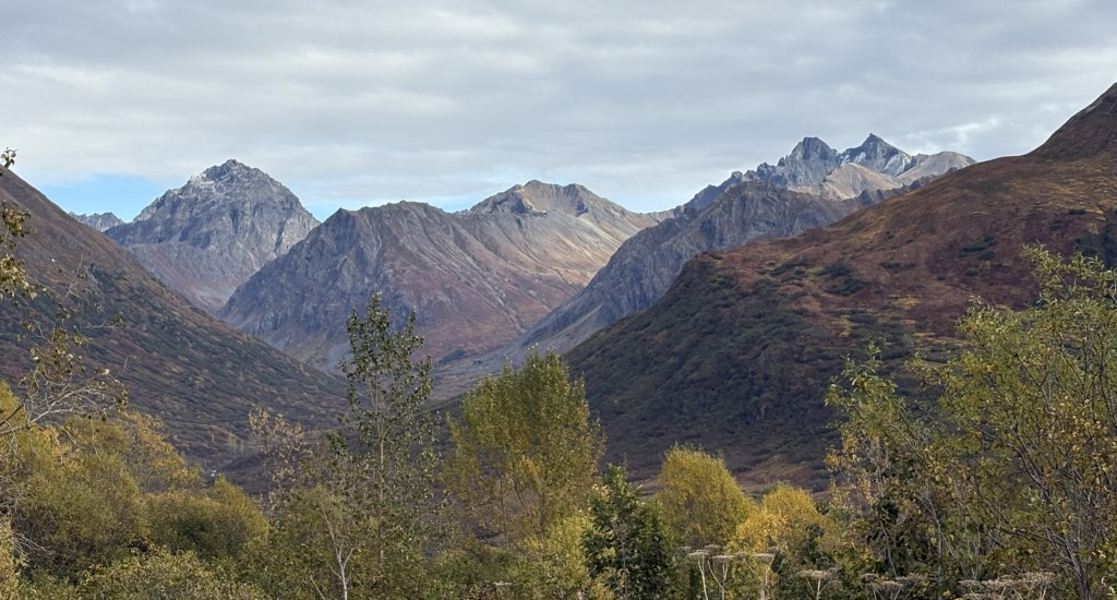
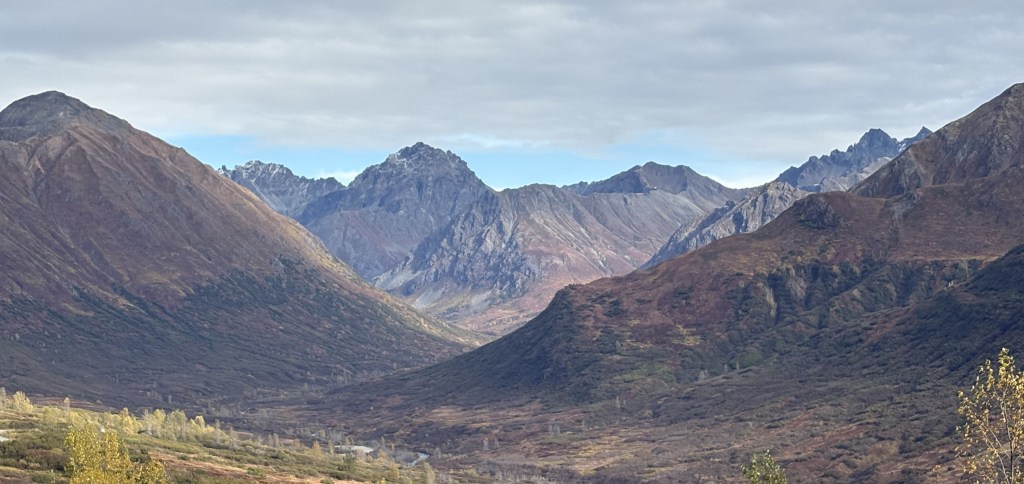
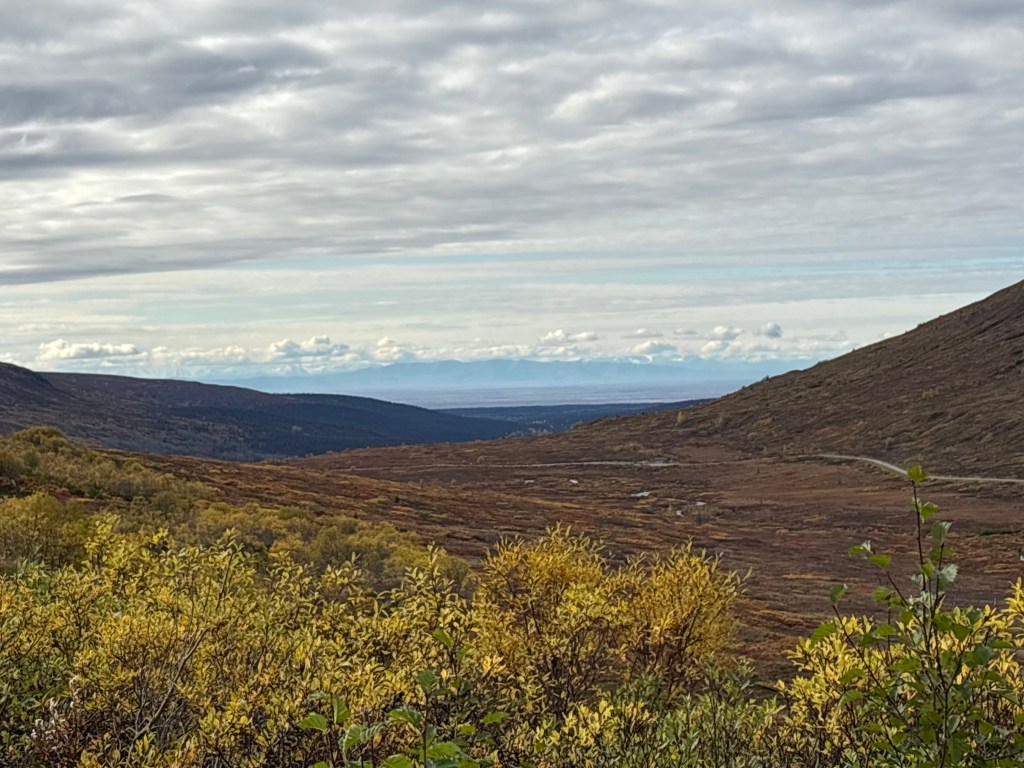
Below is a photo looking back at the way I had come so far.

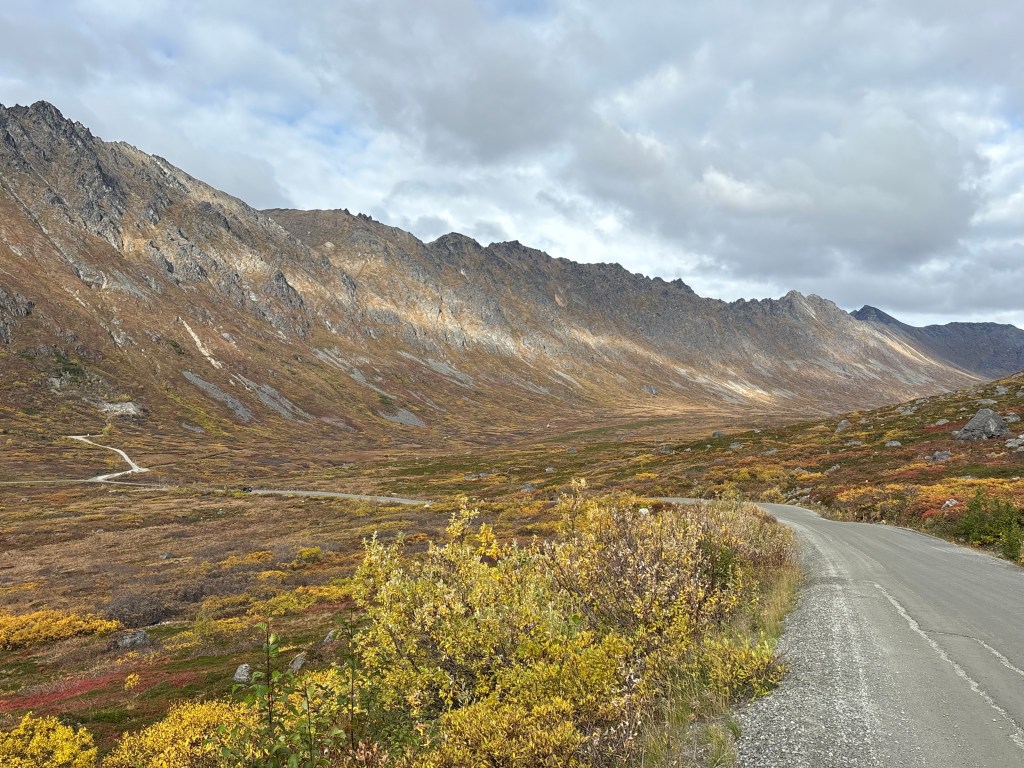
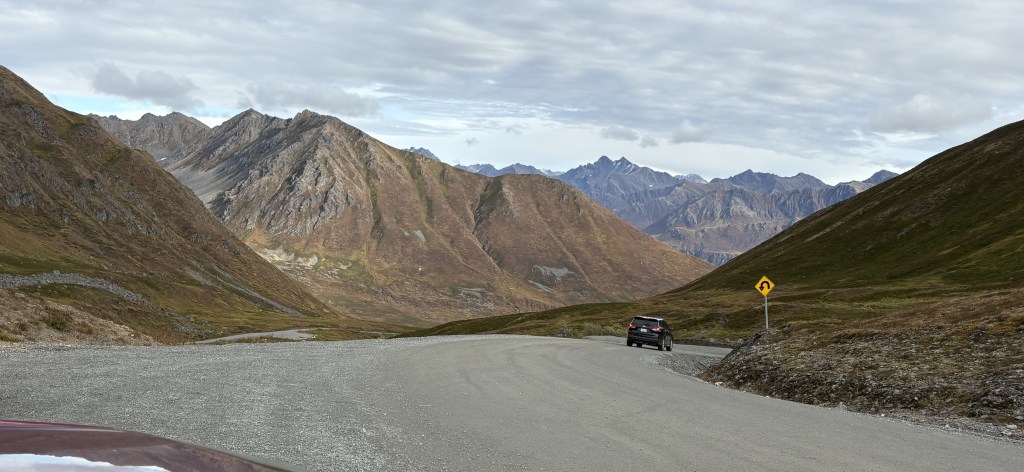
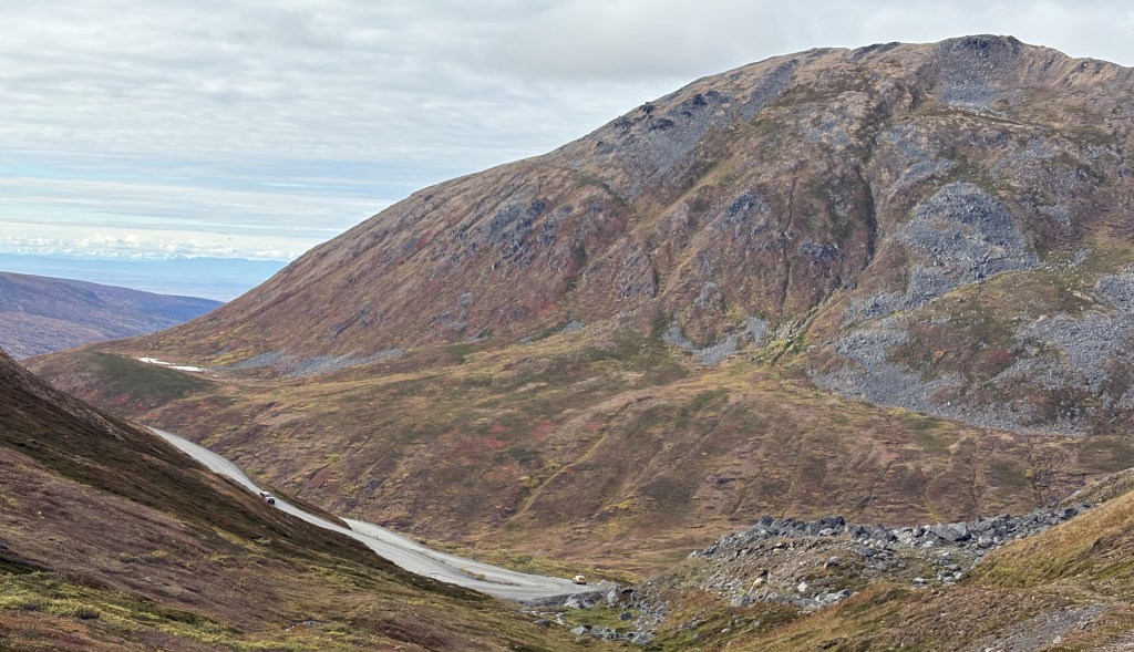
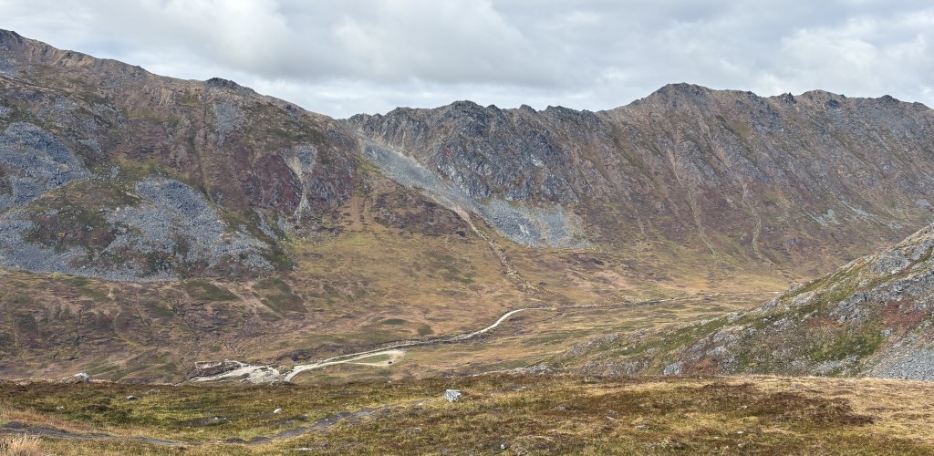
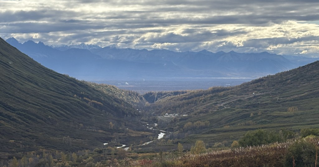
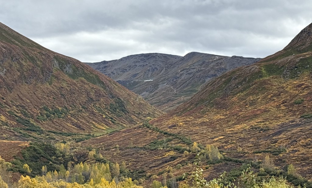
And the next photo is looking at the road still ahead.

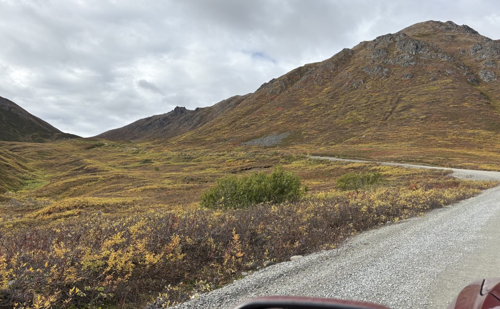
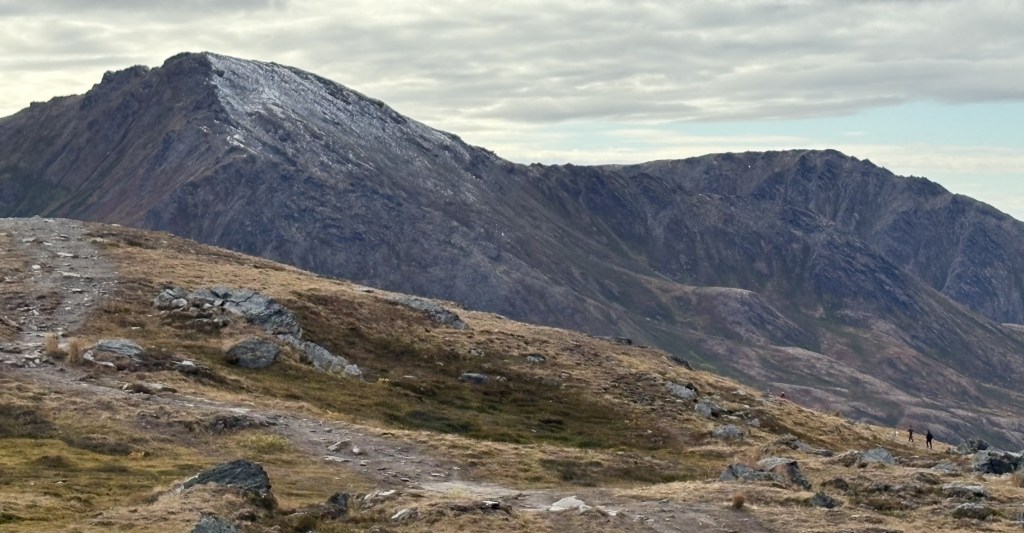
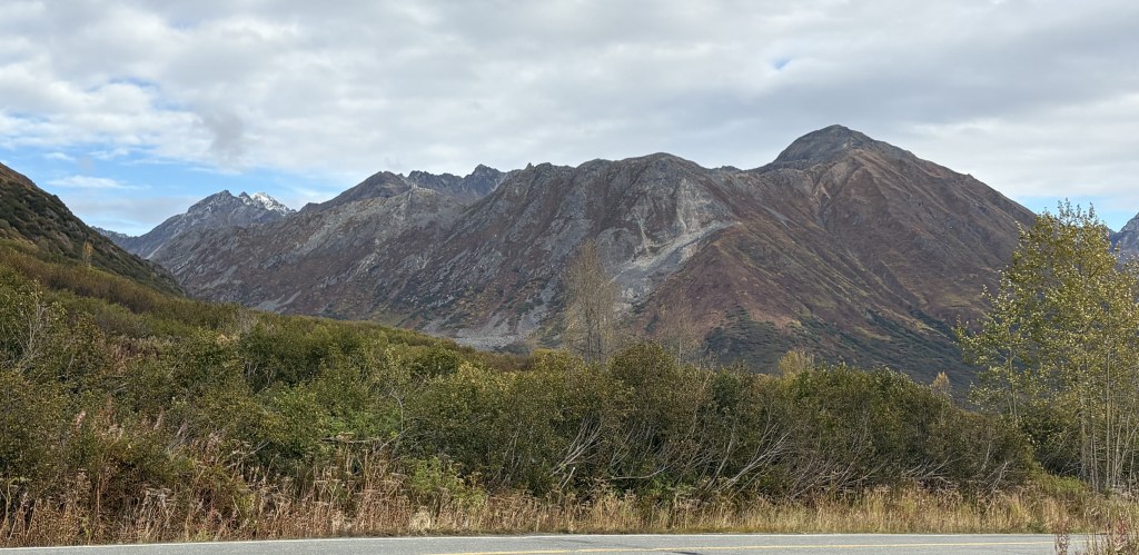
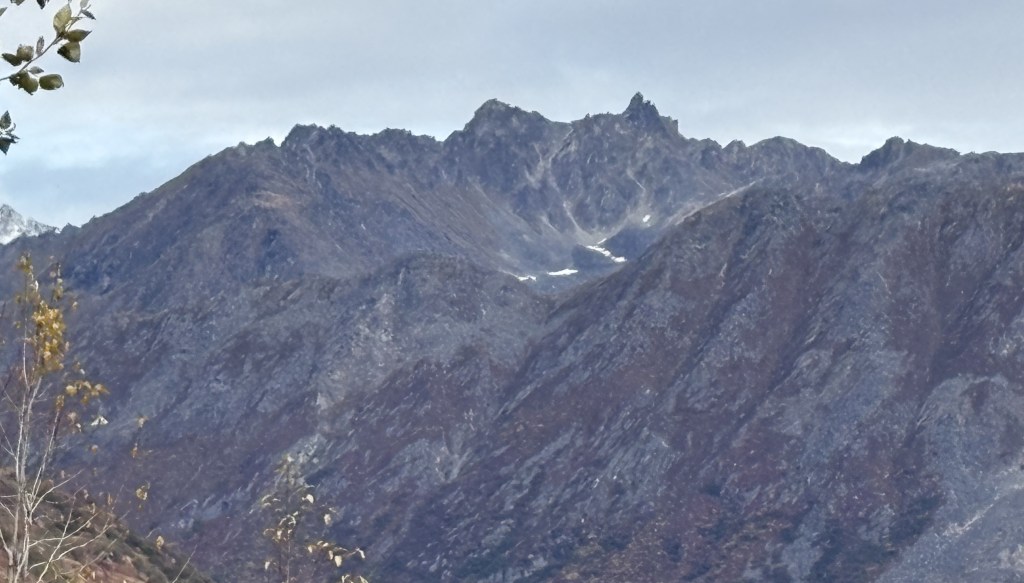
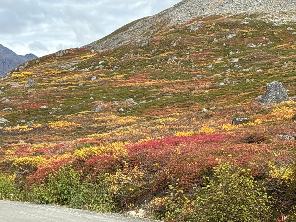
And another one looking back between some of the hills near the road.

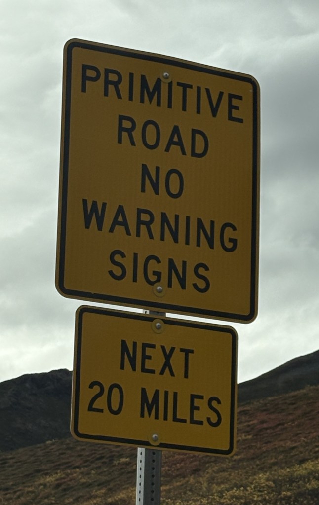
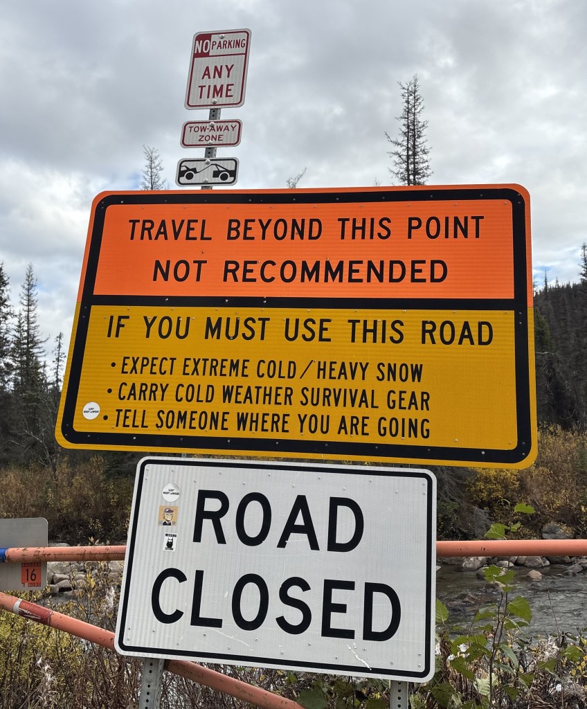
Below is the sign on the gate at the end of the dirt and gravel road which can be closed to block access over the winter months until the road reopens in the summer. It opens inward so people who arrive at other times can see the risks of traveling on the road up to Hatcher Pass. I had read that the road is usually closed from late September (though it was obviously open on September 25 this year) until July 1 of the following year!

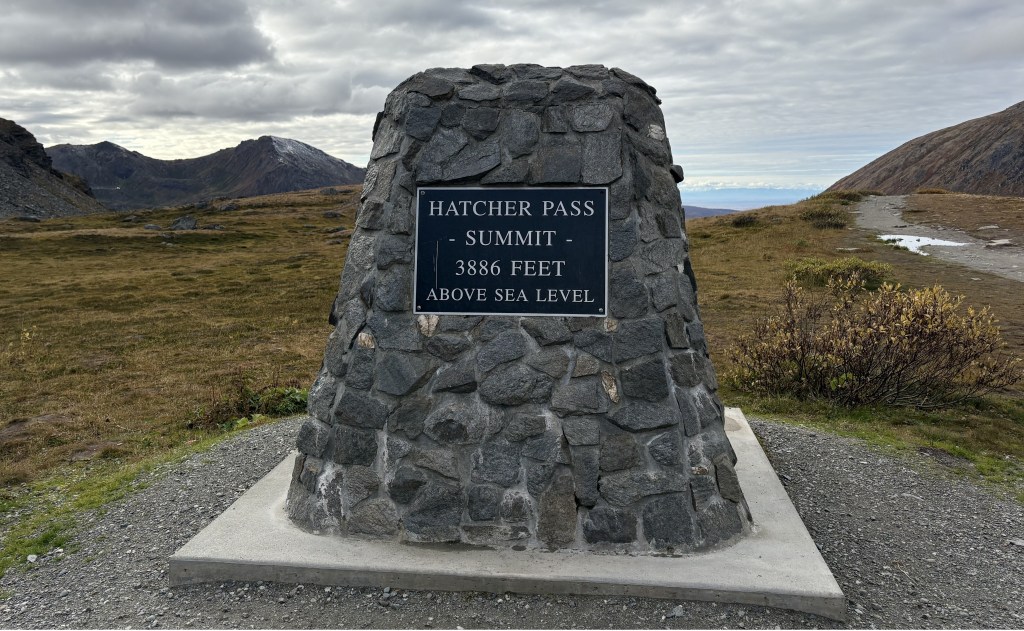
It had taken a little under an hour to get to this point from when I started my descent from the apex, though I did stop many places to take photos. I didn’t measure the distance.

I still had a 40 minute drive on a very rural paved road to get out to Hwy 3 in Willow, and from there it would take an hour and 20 minutes to get back to Anchorage.

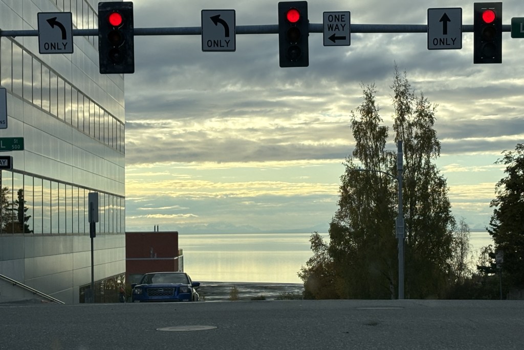
That is the view from an intersection on the west side of downtown Anchorage looking out at Cook Inlet. From here I would turn left and go south a short distance to work my way out to the overlooks near the airport. I was hoping I might get lucky and see some more moose, as the area around the airport seems to be a “hot spot,” and I still had some more daylight. As you will see in the next post, my thinking paid off.

Hatcher Pass – Part 2 of 4

September 25, 2025

I had parked at the entrance to the Hatcher Pass access road to take photos of the paraglider coming in for a landing across the paved road. I then started to climb the dirt/gravel road to the apex of the Pass.

The road was mostly in good shape for that kind of road but there were some washboard spots and several bad potholes. I flagged down a vehicle which was coming down to ask if they thought it was prudent for me to continue. They said yes, just drive slow and watch for bad spots, but they had seen several regular cars at the top.

The mountain above is along the continuation of the paved road I had arrived on. That road continues on to the Independence Mine site.

THIS is the road I will be on:

The photo above is looking back at the road behind me.

The photo above shows cars parked near the apex. You can also see some potholes in the road.

The sign when I started said “next 20 miles” but I believe the descent is longer than the ascent. It had only taken me about 7 minutes to get to this point (at a fairly steep angle) but I didn’t measure the actual mileage. I had also climbed quite a bit on the paved road getting up to the access road and now I would be going further down before going out to Hwy 3.

This was the view looking to the right from where I had stopped to take the photo above. In the lower left hand corner you can see part of the road going away from the apex:

I finally parked at the top:

I walked out the path to check out the view. This is looking straight out (west):

And this is looking slightly to the left:

Below is the view looking down at a road I could see from this high spot but it must just be for hikers as it goes back and to the right, away from the exit road.

Below is the correct exit road as seen from near the top. The road goes down, does a 180 to the right, then goes a short ways and does a 180 to the left before meandering out into the valley.

After this first hill it was a fairly shallow descent, and it was a loooong drive out to the point where this road was paved and another loooong drive to get out to Hwy 3 in Willow.

(Continued next post)

Hatcher Pass – Part 1 of 4

September 25, 2025

Today I will make a daytrip to Hatcher Pass, northeast of Anchorage. This excursion was recommended to me by one of my fellow Airbnb guests in Anchorage. He told me there would be some great views and that I might see some wildlife. Although I did not see any wildlife it was a beautiful day and it was an enjoyable drive.

Here is a map of the area. The road from Anchorage comes up from the bottom. At Gateway, Hwy 3 goes west towards Wasilla, Willow and, eventually, Denali National Park and Fairbanks. Where the roads meet in Gateway, Hwy 1 continues east towards Palmer, Glennallen and, eventually, Tok.

(Photo credit: Google Maps)

When I got to Wasilla I stopped at their Visitor Center to make sure the Pass was open to traffic. When I had read about it online it said that the road is often closed from late September to July (!) and I was here on September 25. The road I took isn’t shown on the map but if you draw a line from Wasilla to just above Fishhook and then to the red marker that is roughly where the road took me going up. After going over the Pass the dirt (at that point) road went west, roughly through the gap in the mountains, and eventually came out on Hwy 3 at Willow.

The road was paved all the way to the dirt/gravel road which climbed the Pass. If I had stayed on the paved road it would have taken me to the historic Independence Mine site. There are several mines in this area.

Here are some of the things I saw on my way up to the Hatcher Pass access road:

The photo above is of the view back towards the valley I believe I had driven through and is looking at the mountains east of Anchorage.

If you look closely you’ll see a paraglider above the mountains in the upper right of the photo above. I parked at the access road to the Pass and watched as the pilot gradually made his/her way to land across the paved road from where I had stopped.

It took about 5 minutes to complete the descent.

(Continued in the next post)